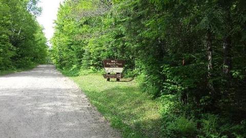
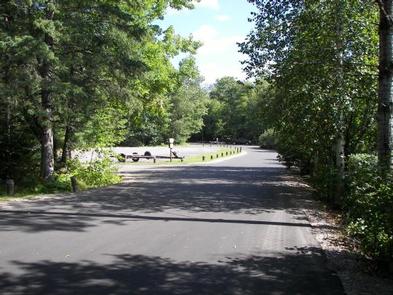
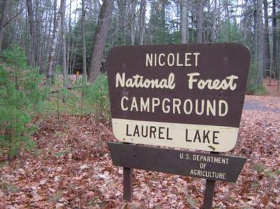
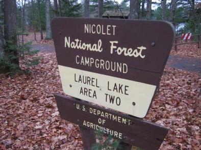
Categories
Uncategorized

LAUREL LAKE CAMPGROUND

Overview

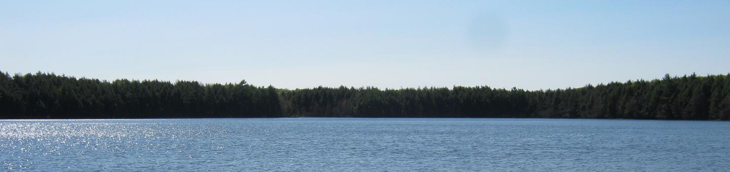
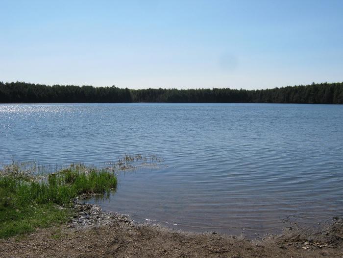
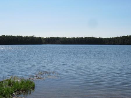
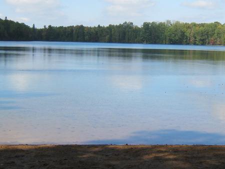
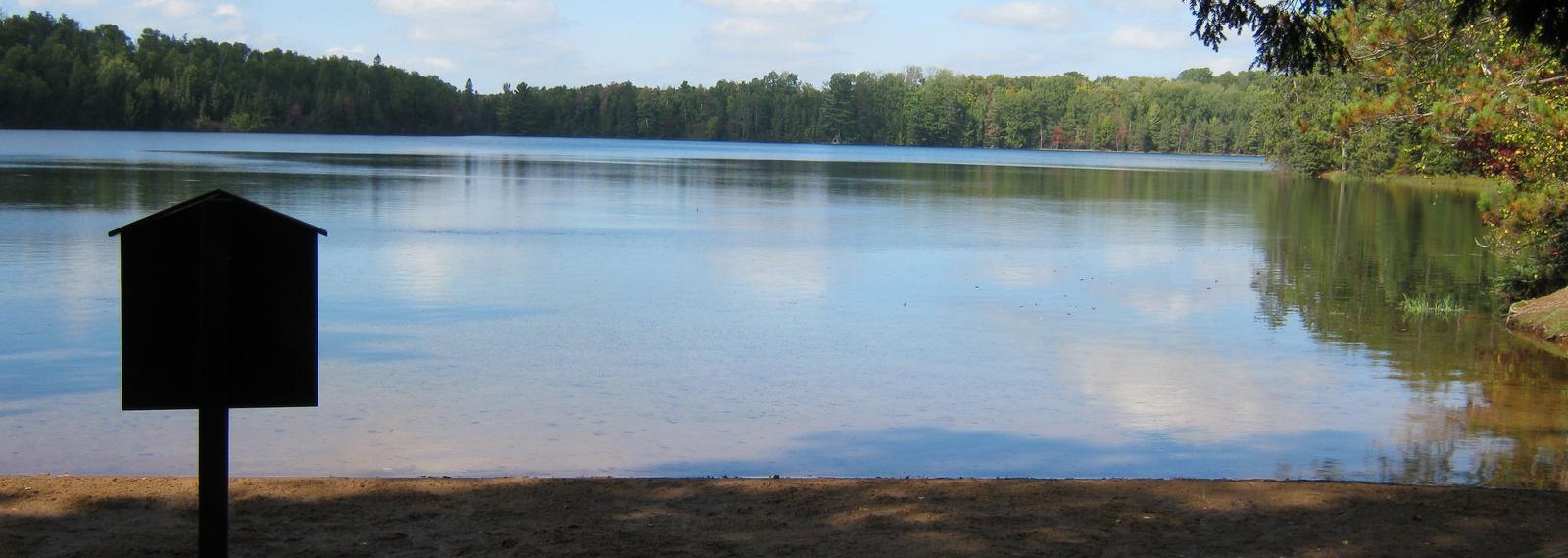
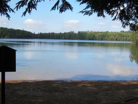
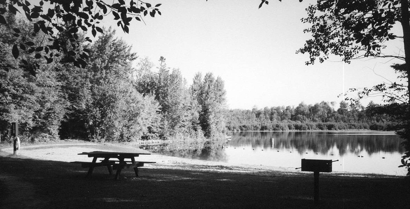
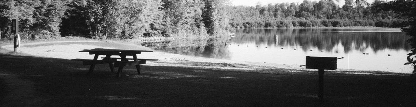
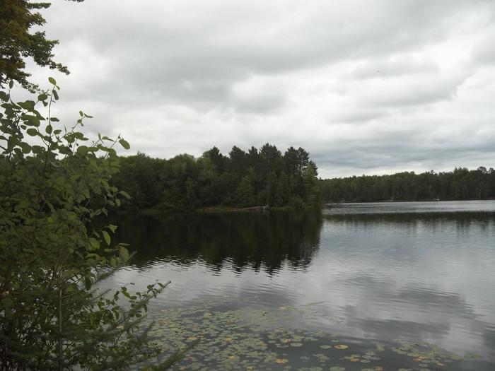
Laurel Lake is part of the 28 lake Three Lakes and Eagle River Chain of Lakes giving the visitor water access to nearly 11,500 acres of water and 174 miles of shoreline. The campground is located in a stand of grand old pines and young oaks.

Recreation

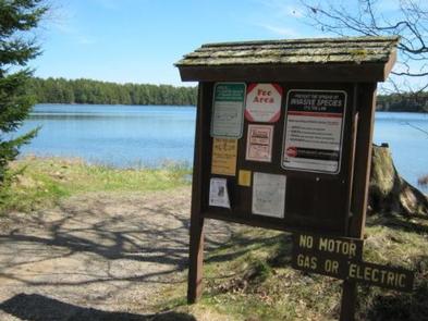
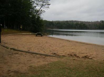
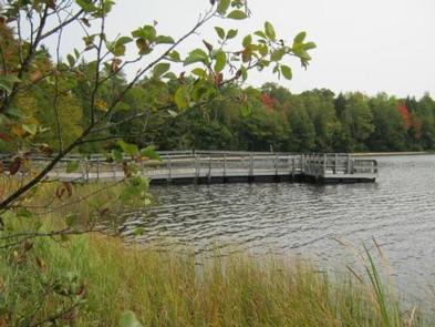
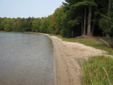
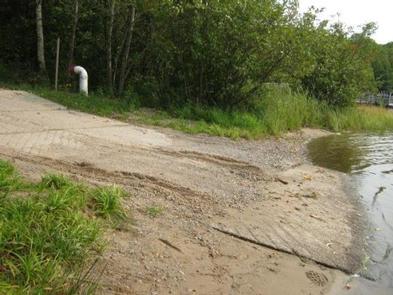
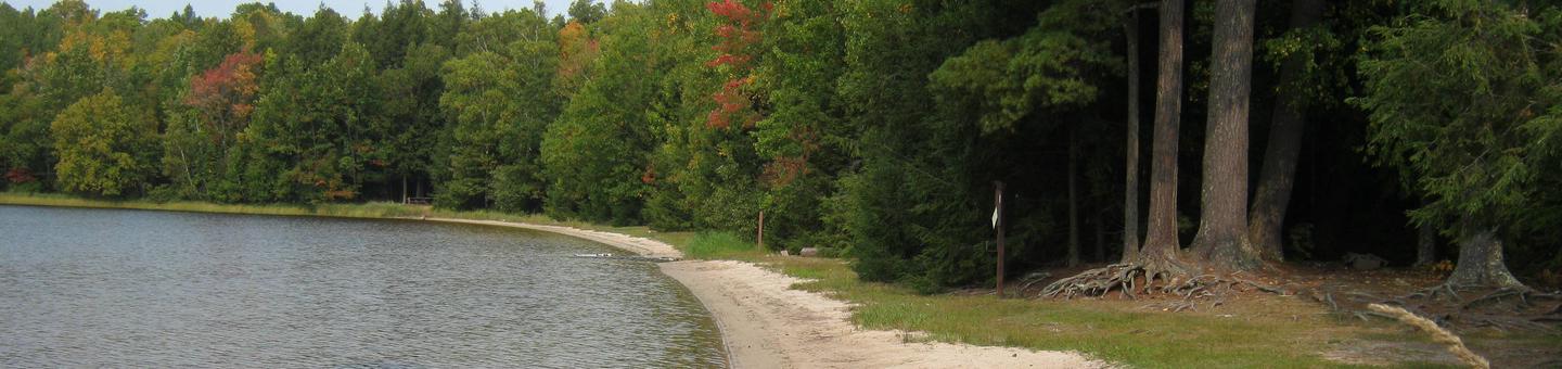
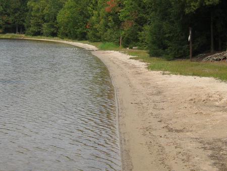
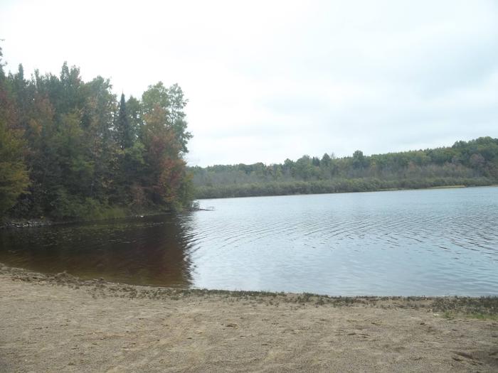
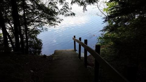
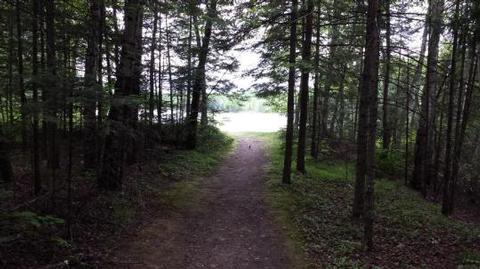
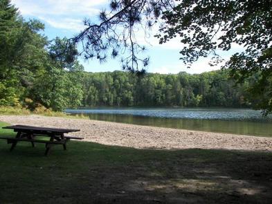
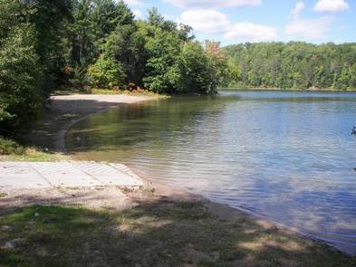
The chain of lakes provides ample opportunity for boating, fishing and swimming. Anglers can expect a catch of musky, walleye, northern pike, large and smallmouth bass, rock bass, perch, crappie and other panfish. The lakes are open to all types of boating, motorized and non-motorized. The campground does not offer a beach area so any swimming to be done will have to take place from your boat.

Facilities

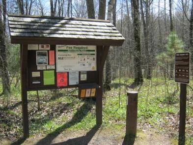
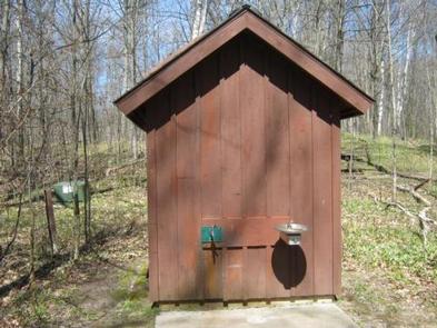
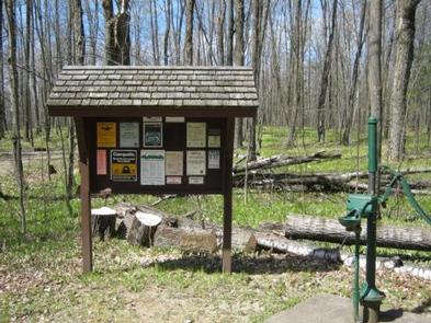
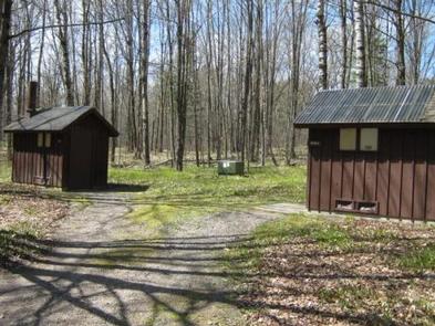
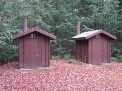
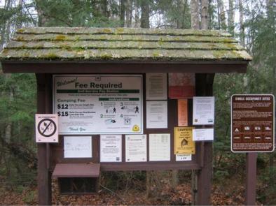
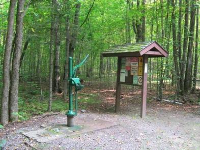
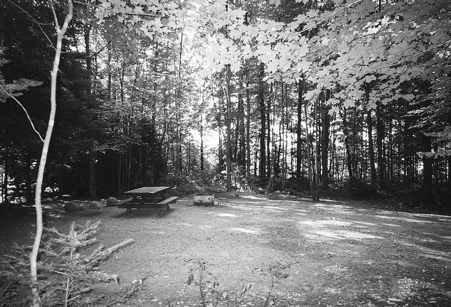
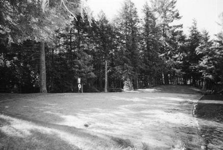
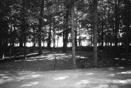
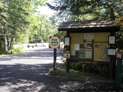
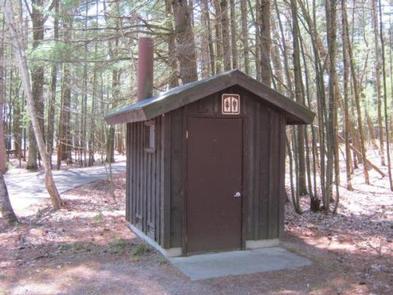
The campground offers 12 single family campsites, available for tent or RV camping. The campground is split between Area 1 which consists of eight sites and Area 2 which consists of four sites. The campground offers both first-come, first-served campsites (5) as well as sites which can be reserved in advance (7). Sites are equipped with tables and fire rings with grills. Vault toilets and drinking water are provided at the campground.
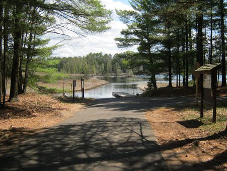
Natural Features

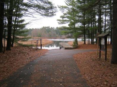
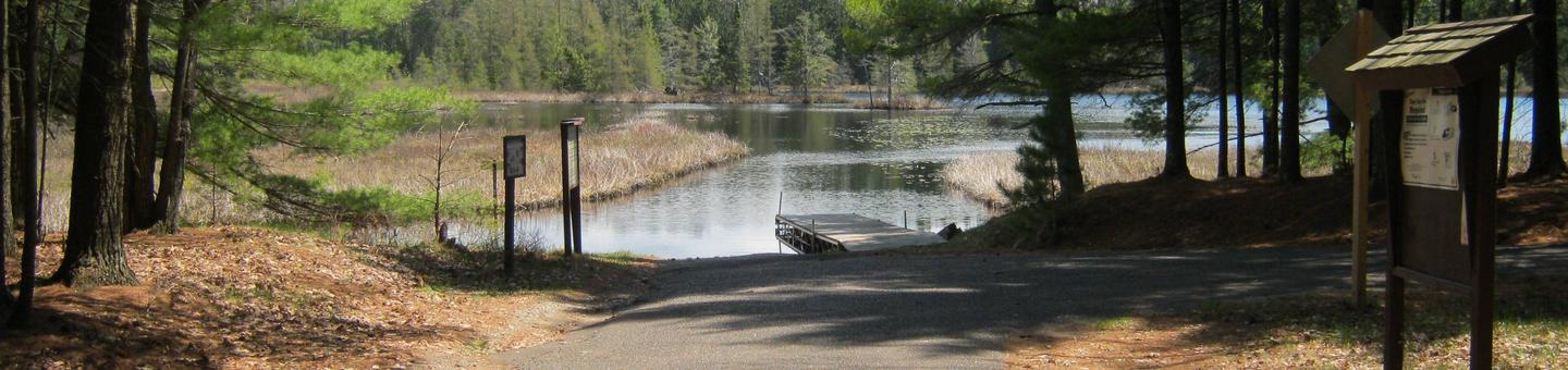
The campground is nestled in a stand of towering pines and young oak trees, at an elevation of 1,630 feet. Laurel Lake is one of 28 lakes which extend from Three Lakes to Eagle River and form the largest inland freshwater chain of lakes in the world, offering endless miles of boating and fishing opportunities, which can be access from the boat landing offered within the campground.

Nearby Attractions

The Town of Three Lakes, once named “America’s Best Town” is located seven miles from the campground. Three Lakes offers a variety of services and activities.

Nearby Activities

  • Boating
  • Camping
  • Fishing
  • Water sports
  • Kayaking
  • Canoeing

Gallery

Directions

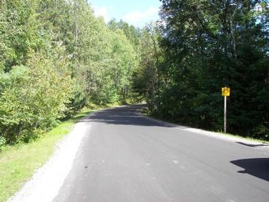
From Three Lakes travel 4 miles east on STH 32 to Chicken in the Woods Road. Turn left (north) and continue 1.2 miles turning left (north) on Fourmile Road. Travel 0.2 miles, turn left (west) on Leatzow Road and continue 1.2 miles to the campground.

GPS Coordinates

Latitude 45° 48′ 58.7902″ N

Longitude 89° 6′ 35.7098″ W

Categories
Uncategorized

LOST LAKE CAMPGROUND

Overview

Please note, this is Lost Lake Campground located in northern Wisconsin on the Chequamegon-Nicolet National Forest.

Lost Lake Campground is located in northeastern Wisconsin on the north shore of Lost Lake in a maple, aspen and white pine forest. The clear, 86-acre lake is stocked with rainbow and brown trout. No motors are permitted on Lost Lake. The Assessor’s Nature Trail, which passes through a 150-year old hemlock and white pine stand, is located adjacent to the campground. The 3.3-mile-long Ridge Trail is also accessed from the trailhead adjacent to the campground. This trail links Lost Lake to Chipmunk Rapids Campground and the Lauterman National Recreation Trail.

Recreation

The lake provides opportunities for fishing, swimming and non-motorized boating. Anglers can expect to catch bass, trout and panfish. No motors are allowed on the lake including electric motors. Numerous trails exist in the area, many beginning in the campground and extending miles to other trail systems. The Lost Lake trail loops the lake itself and travels through old growth hemlock forests. The Assessor’s Nature Trail also extends from the campground and provides views of 150-year old pine stands. The Ridge trail extends from Lost Lake Campground to Chipmunk Rapids Campground and eventually on to the Lauterman National Recreation Trail. A variety of wildlife make its home in the area, including resident American bald eagles and loons. The sounds of your visit will not be soon forgotten.

Facilities

The campground offers 27 single family campsites, available for tent and RV camping. The campground offers both first-come, first-served campsites as well as sites which can be reserved in advance. Sites are equipped with tables and fire rings with grills. Vault toilets are available at the site, as well as drinking water, from a pressurized system or a hand-pump.

Natural Features

The campground is situated on the shore of crystal clear Lost Lake in a stand of maple, aspen and towering white pine trees. Lost Lake, at 86 acres, offers a relaxing paddle as no motors are allowed on this lake. A sandy beach area is available to enjoy the water.

Nearby Attractions

The Town of Florence is located east of the campground approximately 20 miles. Florence offers a variety of services and visitor information.

Nearby Activities

  • Biking
  • Boating
  • Camping
  • Fishing
  • Wildlife viewing

Gallery

Directions

From Florence, travel west 17 miles on STH 70 to the intersection with FR2450 (Dream Lake Road). Turn left (south) on FR2450 and drive 1 mile to FR2156 (Chipmunk Rapids Road). Continue straight 2.9 miles on FR2156 to the campground.

GPS Coordinates

Latitude 45° 53′ 6.8899″ N

Longitude 88° 33′ 44.2598″ W

Categories
Uncategorized

LUNA WHITE DEER CAMPGROUND

Overview

Nestled between two deep clear lakes, Luna-White Deer Campground provides a north woods experience where you can hear the call of the loons at night and see lots of wildlife by day. Half of the campsites front on the two non-motorized lakes. A four-mile trail with great vistas circles the two lakes.

Recreation

The lakes provide visitors ample opportunities for non-motorized boating, swimming and fishing. Anglers can expect a catch of largemouth bass, rock bass, perch, pumpkinseed and bluegill in both lakes as well as rainbow trout in White Deer Lake. A four-mile-long trail circles the two lakes and connects with over 30 miles of additional trails, including the Anvil National Recreation Trail. A variety of wildlife make its home in the area including resident American bald eagles in the towering pines along the shore and loons, which call into the night.

Facilities

The campground offers 37 single family campsites, available for tent or RV camping. The campground offers both first-come, first-served campsites as well as sites which can be reserved in advance. Sites are equipped with tables and fire rings with grills. Vault toilets and drinking water are available throughout the campground.

For more information about the Luna White Deer area, view theRecreation Opportunity Guide (PDF).

Natural Features

The campground is situated in a dense mixed species forest, at an elevation of 1,735 feet. The adjacent lakes offer anglers opportunities to catch fish or the ability to relax on a sandy beach.

Nearby Attractions

The City of Eagle River is located about 19 miles northwest of the campground. Eagle River offers a variety of services and activities throughout the year.

Nearby Activities

  • Biking
  • Boating
  • Camping
  • Fishing
  • Wildlife viewing
  • Swimming site

Gallery

Directions

From Eagle River, travel 13.4 miles on STH 70 to FR2176 (Divide Road). Turn right (south) and continue 5.6 miles to FR2188. Turn right and travel 0.7 miles to the campground.

GPS Coordinates

Latitude 45° 53′ 21.2701″ N

Longitude 88° 57′ 26.9201″ W

Categories
Uncategorized

SPECTACLE LAKE CAMPGROUND

Overview

With a 500-foot swim beach and the crystal clear lake, Spectacle Lake Campground is a family favorite. Come fish for a variety of gamefish species or hike the trail to Kentuck Lake Campground. This 2.5-mile trail utilizes part of the old Thunder Lake Railroad bed and is a pleasant hike.

Recreation

The lake provides visitors with ample opportunities for boating, fishing and swimming. Anglers can expect a catch of walleye, largemouth and smallmouth bass, panfish and trout. The lake is open to all types of boating, motorized and non-motorized. The Spectacle-Kentuck Trail extends from the campground along the old Thunder Lake Railroad bed all the way to Kentuck Lake Campground, approximately 2.5 miles away. A variety of wildlife make its home in the area and visitors are encouraged to keep watch.

Facilities

The campground offers 34 single family campsites, available for tent or RV camping. The campground offers both first-come, first-served campsites as well as sites which can be reserved in advance. Sites are equipped with tables and fire rings with grills. Vault toilets and drinking water are available throughout the campground.

For more information about Spectator Lake Campground, print an information sheet(PDF) which includes a map of the campground.

Natural Features

This campground is located on the east shore of Spectacle Lake in a mixed species forest at an elevation of 1,770 feet. The 166-acre lake boasts an enormous 500-foot-long sandy beach.

Nearby Attractions

The City of Eagle River is located about 16 miles southwest of the campground. A variety of services and activities are offered in Eagle River throughout the year.

Nearby Activities

  • Boating
  • Camping
  • Fishing
  • Hiking
  • Swimming site

Gallery

Directions

From Eagle River, travel 7.6 miles to FR2178 (Military Road). Turn left (north) and continue 2.9 miles to Kentuck Lake Road (FR2465). Turn right (northeast) on FR2465 and continue 1.7 miles to FR2196. Turn left (north) and continue 2.2 miles to Spectacle Lake Road (FR2572). Turn right (east) and travel 1.2 miles to the campground.

GPS Coordinates

Latitude 46° 0′ 41.0101″ N

Longitude 89° 0′ 39.3001″ W

Categories
Uncategorized

BEAR LAKE CAMPGROUND

Overview

If you are interested in a quiet campground and excellent pike fishing, Bear Lake Campground is for you. Campsites are situated along the wooded shore and ridge with outstanding views of the lake.

Recreation

The Chequamegon-Nicolet National Forest has an abundance of outdoor recreation opportunities. Those most enjoyed at Bear Lake are fishing, swimming, kayaking, and canoeing. The Rat River trail is a good nearby hiking opportunity.

Facilities

Bear Lake Campground has 27 sites. A majority of campsites can accommodate campers as long as 30 feet and longer. The campground also has five tent-only walk-in sites on a wooded peninsula jutting into the lake. Drinking water, vault toilets, swim beach, picnic area, and a boat landing are also provided at this location. All roads are paved with blacktop.

Natural Features

This campground sits on the southwest corner of 68-acre Bear Lake. The campground is a mix of hardwoods and pine. The water quality of the lake is moderate at a maximum depth of 20 feet. Fish species found in the lake are northern pike, panfish, and largemouth bass. This campground is also popular with grouse hunters and fall color enthusiasts.

Nearby Attractions

Bear Lake is in close proximity to the Rat River Hike and Bike Trail. Trout fishing opportunities are also nearby on the Peshtigo and Rat Rivers.

Nearby Activities

  • Camping

Gallery

Directions

From Wabeno, drive north 5.5 miles or from Laona drive 3.0 miles to County Road T. Turn east and drive 3 miles to County Road H. Turn right (north) drive 0.75 miles to Goodman Park Road (FR2136). Turn right (east) and drive 4.1 miles to FR3770. Turn right (south) on FR3770 and drive 0.4 miles to the campground.

GPS Coordinates

Latitude 45° 30′ 44.3498″ N

Longitude 88° 30′ 49.2401″ W

Categories
Uncategorized

LAURA LAKE CAMPGROUND

Overview

With two beautiful clear water lakes, undeveloped shoreline, and restricted motor use, Laura Lake Campground provides an exceptional camping opportunity.

Recreation

The Chequamegon-Nicolet National Forest has an abundance of outdoor recreation opportunities. Those most enjoyed at Laura Lake are fishing, swimming, kayaking, canoeing, and hiking the trail that goes around the lake. The area also provides a bike trail that runs along the old Lake 9 railroad grade.

Facilities

Laura Lake Campground has 41 sites. A majority of sites can accommodate campers as long as 30 feet and longer. Drinking water, vault toilets, swim beach, picnic area, and a boat landing are also provided at this location. All roads are paved with blacktop.

Natural Features

Campsites are located on the southwestern shore of 110-acre Laura Lake. The picnic and swim beach are located on the adjacent 50-acre Gordon Lake. Both lakes have developed back-in boat landings. Please note these lakes are restricted to electric motors only.

Nearby Attractions

Laura Lake site has a 2.25-mile hiking trail around the lake and 6.5 mile bike trail. Both Laura and Gordon Lakes provide good fishing opportunities.

Nearby Activities

  • Camping

Gallery

Directions

From Armstrong Creek, drive west 1.9 miles on Highway 8 to FR 2163. Turn right (north) on FR2163 and drive 4 miles to the campground.
From Laona, drive north 14 miles on Highway 8 to FR 2163. Turn left (north) on 2163 and drive 4 miles to the campground.

GPS Coordinates

Latitude 45° 42′ 15.0700″ N

Longitude 88° 30′ 24.4001″ W

Categories
Uncategorized

RICHARDSON LAKE CAMPGROUND

Overview

Richardson Lake Campground sits on its namesake lake in beautiful Forest County Wisconsin. This campground’s 26 sites are located on the south shore of Richardson Lake, well known to anglers for its bass, northern pike, and pan fish. Relax on the sandy swim beach or take in the views of the lake from the picnic area above the beach. Take your boat or canoe out on Richardson Lake in search of wildlife along the shoreline.

Recreation

The Chequamegon-Nicolet National Forest has an abundance of outdoor recreation opportunities. Those most enjoyed at Richardson are fishing, swimming, and canoeing.

Facilities

Richardson Lake Campground offers 26 campsites of various sizes that can accommodate tents and RVs. Drinking water, vault toilets, swim beach, and boat landing are also provided at this location.

Natural Features

The campground lies in a lush maple dominated northern hardwood forest on the south shore of 47-acre Richardson Lake. Richardson Lake Campground is best known for its spectacular fall color.

Nearby Attractions

The communities of Wabeno to the east and Crandon to the north offer some services and community events throughout the year.

Nearby Activities

  • Camping

Gallery

Directions

From Wabeno, drive north 0.8 miles on Highway 32 to Highway 52. Turn left (west) on Highway 52 and drive 2.4 miles to Richardson Lake Road (FR2880). Turn right (north) on Richardson Lake Road and continue 0.4 miles to the campground.

GPS Coordinates

Latitude 45° 26′ 29.4000″ N

Longitude 88° 42′ 55.0800″ W

Categories
Uncategorized

BOOT LAKE CAMPGROUND

Overview

Strong winds and rain caused significant damage to portions of the Lakewood-Laona Ranger District on the Chequamegon-Nicolet National Forest on July 19, 2019. Forest Service personnel began surveying the damage Saturday morning and will be continuing to assess recreation sites, roads, trails and the Forest this week.

The Forest has issued an emergency closure order for National Forest System lands in Oconto County including all roads, trails, dispersed and developed recreation sites including Boot Lake and Bagley Rapids Campgrounds. This order will be updated as often as needed to reflect changes as areas are cleared and reopened for the public to use. Please check the Forest website or our Facebook or Twitter pages for the latest information.

We do not anticipate Boot Lake Campground to reopen in 2019, so the Forest has begun cancelling and refunding all reservations at this site. We encourage affected parties to look for alternative camping options at near by Boulder Lake, Laura Lake or Richardson Lake Campgrounds unaffected by storm.

Boot Lake Campground overlooks its namesake — 263-acre Boot Lake. Bask in the sun on the beautiful beach and then take a relaxing dip in the lake, or enjoy the fishing. Boot Lake contains walleye, northern pike, bass, musky, and panfish. In addition, several nearby streams offer excellent trout fishing, and the Wolf River provides fishing, kayaking, rafting, and first-class canoeing opportunities. The Jones Spring Non-Motorized Area is nearby, and offers hiking, hunting, and cross-country skiing. Generally, use at this popular campground is heavy throughout the summer.

Recreation

The Chequamegon-Nicolet National Forest has an abundance of outdoor recreation opportunities. Those most enjoyed at Boot Lake are fishing, swimming, kayaking, and canoeing. Due to the clarity of the water Scuba diving has become increasingly popular.

Facilities

Boot Lake Campground has 34 sites. More than half of the sites can accommodate campers of 30’ and some of the sites are tent only. Drinking water, vault toilets, swim beach, picnic area, and a boat landing are also provided at this location. All roads are paved.

Natural Features

This campground sits on the northwest corner of Boot Lake, in a quiet finger of the lake. The campground is a mix of hardwoods and pine. Boot Lake is a high quality clear lake and has a maximum depth of 38 feet.

Nearby Attractions

Jones Springs Non-Motorized Area is just west of Boot Lake. It offers opportunities for hiking, hunting and cross-country skiing in the winter. There is a trail in the campground that connects into the Jones Springs hiking trails. The nearby Wolf River provides excellent opportunities for rafting and white water canoeing, and kayaking. The local community of Townsend is just north of the campground. The Cathedral Pines Trail is approximately four miles from the campground — a must see at any time of the year.

Nearby Activities

  • Boating
  • Camping
  • Fishing
  • Hiking
  • Winter sports
  • Water sports
  • Wildlife viewing

Gallery

Directions

From the intersection of Highway 32 and County Road T in Townsend, drive south on T 5.6 miles to the campground.

GPS Coordinates

Latitude 45° 16′ 6.8801″ N

Longitude 88° 38′ 44.3699″ W

Categories
Uncategorized

Lake Owen Recreation Area

Lake Owen Recreation Area is located on the 1,323 acre Lake Owen that has crystal clear water, excellent fishing and swimming. There is a swim beach and shelter/chalet at the northern end of the lake on Forest Road 213 (Lake Owen Drive). There is access to the North Country Trail from this recreation area as well as the Drummond Recreation Trails across the road.
 
There is also a boat landing that provides access to the lake on Forest Road 216 (Lake Owen Station Road) just before you get to the swim beach and picnic area. The boat landing has a vault toilet, picnic tables and pedestal grills. 
 
The area includes vault toilets, water, picnic tables, pedestal grills and a large grill for groups. There is a paved path from the parking lot, to the well and to the picnic area.
 

Directions

GPS Coordinates

Latitude 46° 18′ 21.2400″ N

Longitude 91° 13′ 2.6400″ W

Categories
Uncategorized

Porcupine Lake Wilderness

Officially designated as a wilderness in 1984, this 4,446 acre wilderness is located 4 miles southeast of Drummond, Wis. in Bayfield County. Some of the wilderness contains rolling hills covered with oak, maple, hemlock and white pine. The remainder of the area is fairly flat. Many streams contain trout. Porcupine Lake and Eighteen Mile Spring Pond have good fishing for trout, bass, panfish, and northern pike. Watchable wildlife include deer, bear, fox, coyote, loons and many species of songbirds. The North Country National Scenic Trail runs the length of the area. Branded posts mark the trail location at some intersections.

Directions

GPS Coordinates

Latitude 46° 17′ 18.6756″ N

Longitude 91° 8′ 24.6084″ W