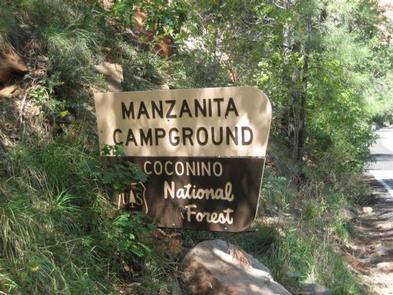
Categories
Uncategorized

Fossil Creek Wild And Scenic River

Overview:

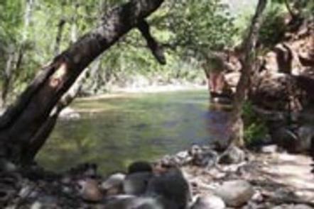
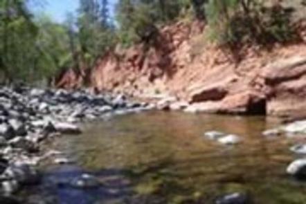
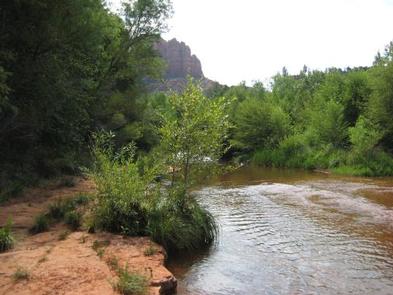
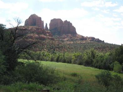
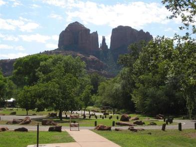
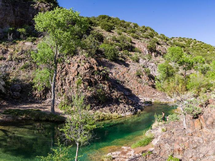
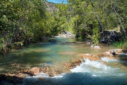
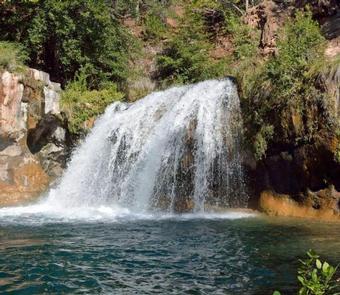
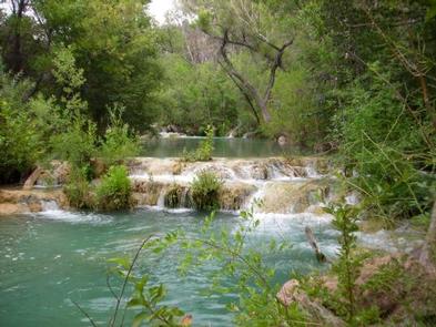
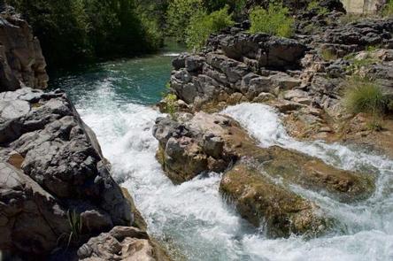
Fossil Creek flows from its source, at Fossil Springs, 14 miles to its confluence with the Verde River downstream of the historic and decommissioned Childs power plant. Fossil Creek is one of two Wild and Scenic rivers in Arizona. Its 70 degree F water pours at 20,000 gallons per hour from springs at the bottom of a 1,600 foot deep canyon. Over the years these calcium rich waters have laid down huge deposits of a material called travertine. That rock-like substance encases whatever happens to fall into the streambed – forming the fossil-like formations for which the area is named.

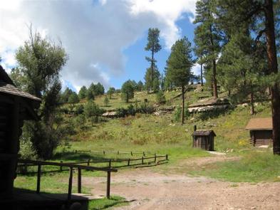
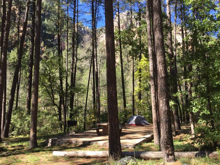
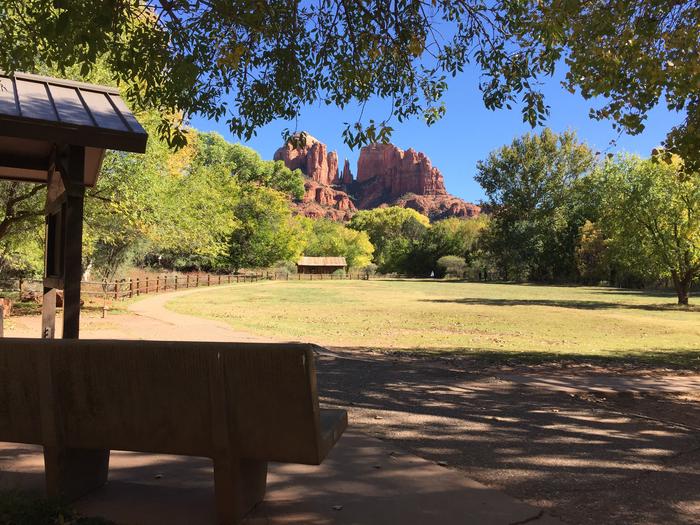
Fossil Creek is a rare riparian area within an arid landscape. Many plants and wildlife depend on Fossil Creek for habitat, including otters, beavers, leopard frogs and black hawks. Native fish populations have been successfully restored to some segments of Fossil Creek.

Fossil Creek has a number of Dilzhe’e (Western Apache) cultural sites. The Dilzhe’e lived along Fossil Creek for generations and still consider this to be part of their homeland.

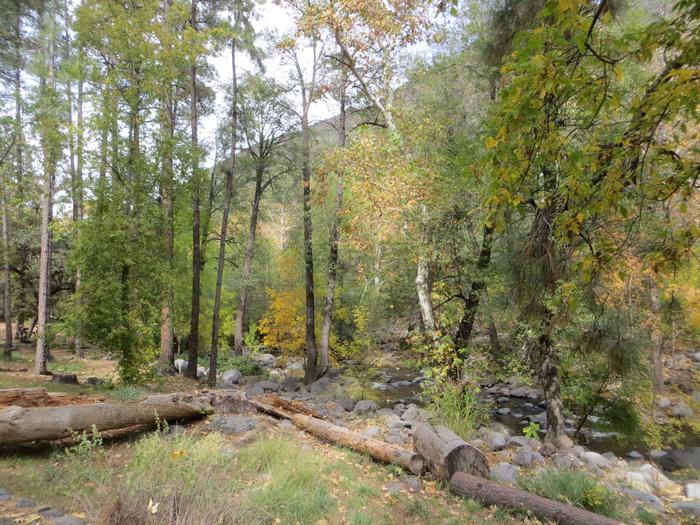
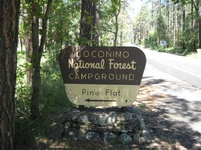
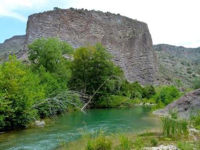
Due to its beauty and year-round water, people are drawn to this area. The lushness of the riparian area strikes a sharp contrast to the dry and sparse desert vegetation that surrounds it. Fossil Creek recreation sites can be accessed via State Route 260 near Camp Verde, Arizona, and along Forest Road 708 (14 miles of rough dirt road) to designated parking lots and creek access sites near Fossil Creek; or via hiking 4.5 miles (strenuous) one way to the headwaters of Fossil Creek from the designated Fossil Springs Trailhead parking lot outside of Strawberry, Arizona.

Fossil Creek Permit Area

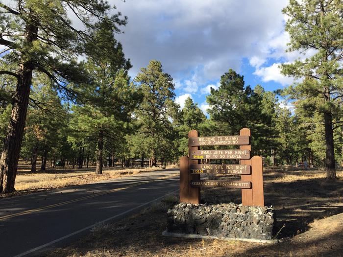
Advance permits are required to park a vehicle within the Fossil Creek Permit Area from April 1 through October 1. During this season and dependent on availability, a maximum of one permit per person per calendar month may be reserved (one permit = one day). Permits are made available one month ahead of time, on the first of the month. For example, permits for the month of April will be available to reserve beginning March 1. The permit allows parking for one vehicle only at one of nine designated parking lots. The maximum vehicle length is 22 feet. All persons listed on the permit must be accommodated inside the vehicle with a legal seatbelt on. The permit guarantees a parking space within the specified parking lot, but specific parking space assignments are not made. Parking spaces are occupied on a first-come, first-served basis.

Permits are not required from October 2 through March 31.

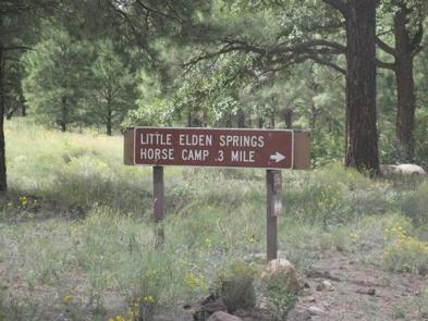
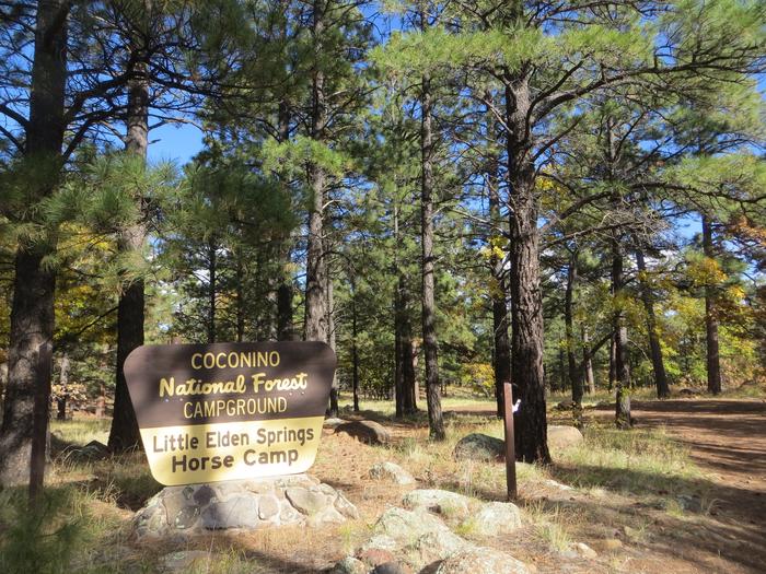
Equestrian users may reserve a specific parking space to accommodate a vehicle and horse trailer, located at Fossil Springs Trailhead only. These parking spaces are not first-come, first-served; they are assigned spaces. There are only three of these parking spaces at Fossil Springs Trailhead for equestrian use. The maximum vehicle and horse trailer length combined is 50 feet. All persons listed on the permit must be accommodated inside the vehicle with a legal seatbelt on.

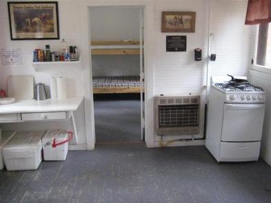
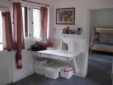
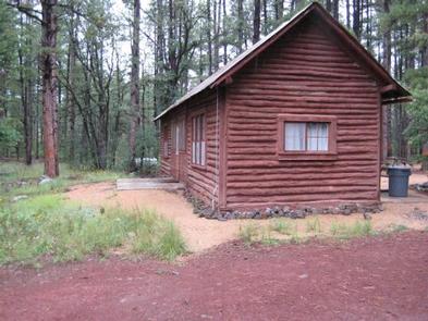
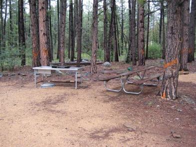
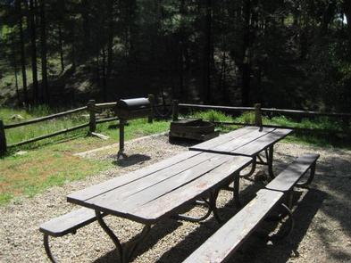
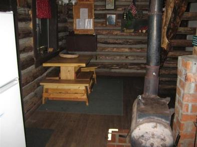
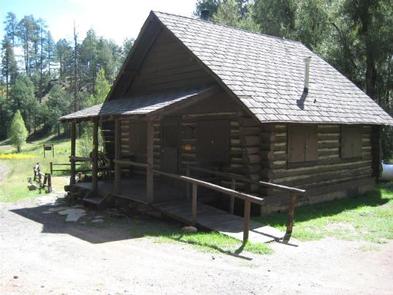
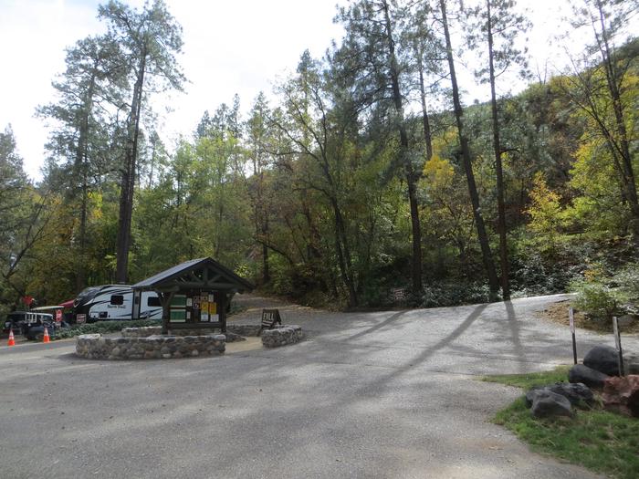
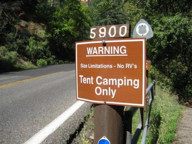
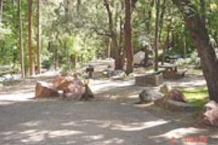
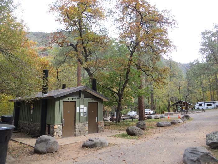
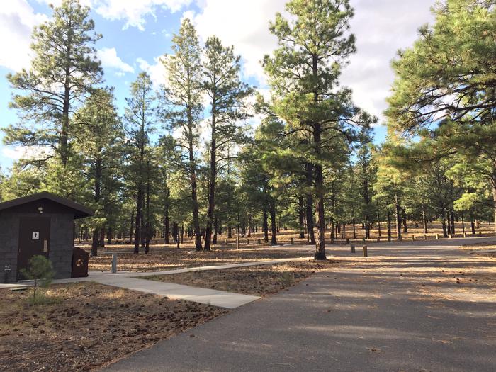
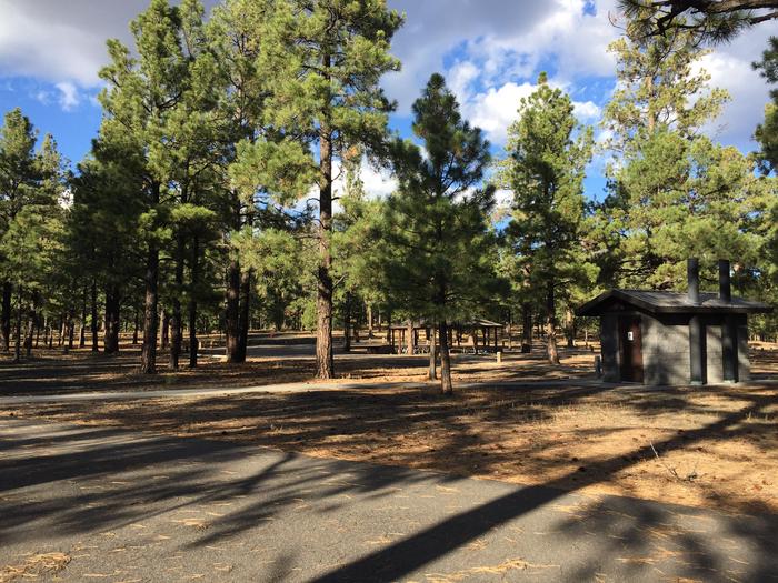
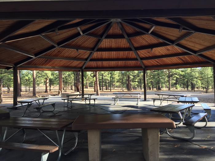
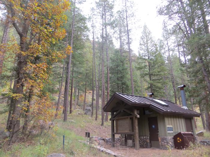
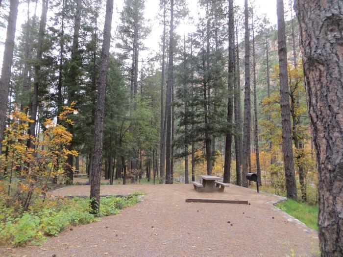
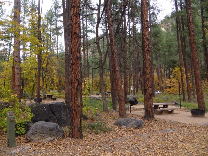
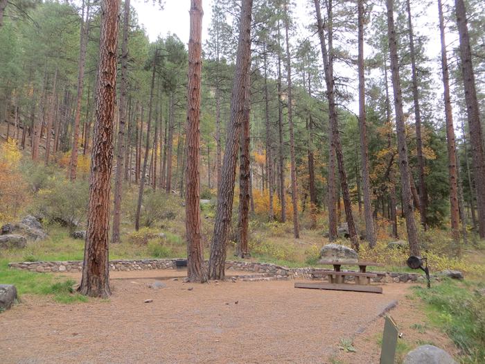
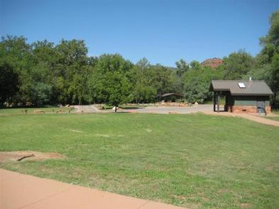
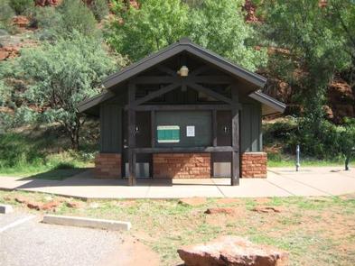
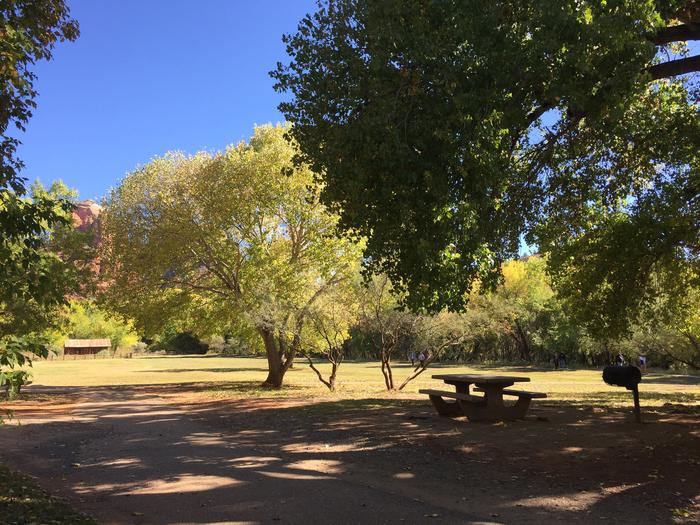
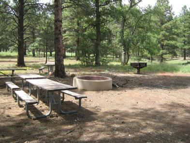
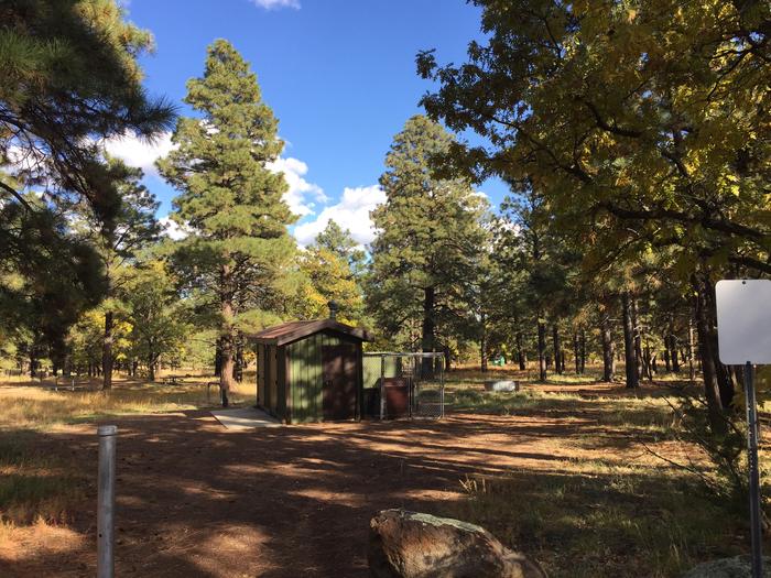
The Fossil Creek area has very few developed facilities and visitors should be prepared for rustic and remote conditions. There is no camping in the Fossil Creek Permit Area.
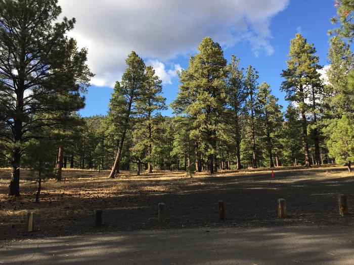
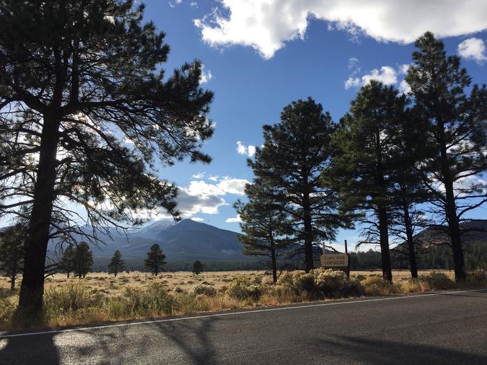
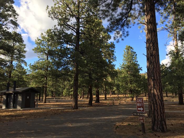
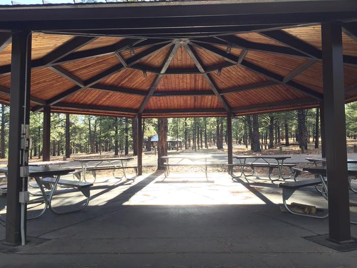
Gallery

Directions

GPS Coordinates

Latitude 34° 25′ 16.0000″ N

Longitude 111° 34′ 32.9999″ W

Categories
Uncategorized

APACHE MAID CABIN

Overview

This rustic forest cabin is located at the eastern base of Apache Maid Mountain, just two hours north of Phoenix and near the popular red rock canyons and outdoor recreation opportunities of Sedona, in central Arizona. The cabin provides several amenities, providing a comfortable stay for up to six people.

It can be accessed by vehicle. Guests are responsible for their own travel arrangements and safety, and must bring several of their own amenities.

Recreation

The area is a hub for outdoor recreation. Although there are no trails immediately around the cabin, countless hiking, mountain biking and horseback riding trails are located within an hour drive. Closer to the cabin, anglers can fish for northern pike, yellow perch and sunfish at nearby Stoneman Lake, one of the few natural lakes in Arizona. Bird watchers can delight in watching for migratory waterfowl and summer songbirds from the shoreline, and families can enjoy an afternoon of picnicking.

Facilities

The facility is a small, 520 square-foot cabin that can accommodate up to six overnight visitors. It has one bedroom with bunk beds and a roll-away bed, a living room with a futon couch, and a kitchen and dining room. All the beds have mattresses. The kitchen has a propane stove with dishes, pots and pans, but no refrigerator. The building is also equipped with a propane heater and has limited solar-supplied overhead lighting system with wall switches in each room. The cabin does not have any available outlets.

Visitors must bring their own food and potable water for drinking, cooking and cleaning, bedding (sheets, blankets, pillows and/or sleeping bags), towels for the kitchen, weather appropriate clothing, dish soap, flashlights and an axe for splitting wood at the outdoor fire pit.

Users must clean the cabin and pack out all food and trash before leaving.

Natural Features

The facility was originally constructed in 1909 by Charles Babbitt and served as a ranch house for cattlemen, then later as a U.S. Forest Service ranger station. It has been restored to its historic character.

The cabin is surrounded by the shade of a ponderosa pine forest and is just south of the Mogollon Rim, a 200-mile slope that ranges between 5,000 and 7,000 feet in elevation. The cabin sits at 6,382 feet and has summers that are characteristically sunny, warm and dry, with the occasional afternoon thunderstorm.

Nearby Attractions

Nearby Stoneman Lake, Beaver Creek and Sedona offer numerous recreation activities and cultural attractions.

Nearby Activities

  • Biking
  • Historic & cultural site
  • Camping
  • Fishing
  • Hiking
  • Hunting
  • Wildlife viewing
  • Fire lookouts/cabins overnight

Gallery

Directions

From Phoenix, travel north on Interstate 17 to exit 306 (Stoneman Lake Road/Forest Road 213). Go east on Stoneman Lake Road for approximately 6.5 miles, to the junction with Forest Road 229. Turn right onto Forest Road 229 and go 4.5 miles to Forest Road 230. Veer right, continuing on Forest Road 229 and continue approximately a quarter-mile to the intersection of Forest Road 229 and Forest Road 620 (to the Apache Maid Lookout). Veer right; the gate to the cabin is at this intersection, on the left side of the road. Look for the small sign for Apache Maid Cabin. Note: the cabin is not on the mountain; if you are driving uphill toward the mountain, you have missed the cabin entrance gate.

Access to the cabin is through a locked gate. The gate has a combination lock, and a house key is located in a lock box on the kitchen door. Combination codes for the gate and the lock box are given in the reservation confirmation letter. High-clearance vehicles are recommended, and four-wheel drive is required during inclement weather.

GPS Coordinates

Latitude 34° 42′ 40.6501″ N

Longitude 111° 31′ 13.8500″ W

Categories
Uncategorized

FERNOW CABIN

Overview

Fernow Cabin offers a quaint, forested retreat near Flagstaff and Sedona, in central Arizona. The rustic, three-bedroom log cabin is a retired U.S. Forest Service guard station constructed in the 1970s to house firefighters during wildfire season. Now, it offers groups of up to eight people a unique recreation opportunity in a beautiful Southwest setting.

The cabin can be accessed by passenger vehicle, however caution required for the last mile; high clearanance recommended. Roads are not always maintained after each weather event. Guests are responsible for their own travel arrangements and safety, and must bring several of their own amenities.

Recreation

The area is a hub for hiking, mountain biking and off-road vehicle riding. The cabin is adjacent to the Sycamore Canyon and Red Rock/Secret Mountain Wilderness areas, which boast numerous hiking trails. Bikes and off-road vehicles are only allowed on designated roads and trails.

Flora, fauna and unique rock formations in the surrounding area also present excellent opportunities for photography.

Facilities

The cabin has running water from mid-May through mid-October. It also has an indoor shower, hot water heater, solar lights, a small dining area, kitchen, two bedrooms, a loft, wood stove and covered porch. It is furnished with beds and mattresses, dressers and a small dining table with chairs. There is no electricity available. If visiting before mid-May or after mid-October, guests must bring their own water.

The kitchen includes a stove, oven, small refrigerator, pots, pans, utensils, dishes, coffee pot. The vault toilet is a short walking distance from the cabin, and an outdoor campfire circle and grill are also provided. The ramp to the front porch is accessible. Firewood and propane are provided (click here for more cabin details ).

Visitors must bring their own sheets (two double beds and four single beds) and blankets, or sleeping bags, flashlights, towels, garbage bags, dish soap, dish towels, extra firewood, an axe for splitting wood, and matches and newspaper for lighting the wood stove. There are two picnic tables outside. Lawn chairs are not provided, but are a nice treat for summer months.

Natural Features

The site lies in a ponderosa pine forest on the Mogollon Rim, a 200-mile slope that ranges between 5,000 and 7,000 feet in elevation. At an elevation of 6,656 feet, the cabin is fairly isolated, offering a private location for visitors to enjoy nature.

The area is characterized by warm summer days and cool nights, with afternoon thunderstorms common from mid-June through mid-September.

Nearby Attractions

The nearby city of Flagstaff offers ample lodging, shopping and dining opportunities. Grand Canyon National Park is about a two-hour drive northwest of the cabin.

Nearby Activities

  • Biking
  • Camping
  • Hiking
  • Hunting
  • Wildlife viewing

Gallery

Directions

Fernow Cabin is located approximately 22 miles south of Flagstaff on Forest Road 231. All roads are suitable for passenger vehicles, with caution required for the last mile. High-clearance vehicles are recommended. During periods of heavy rainfall, roads may become difficult to navigate. Roads are not always maintained after each weather event.

From Phoenix, travel north on Interstate 17 to the junction with Interstate 40 in Flagstaff. Go west on Interstate 40. Turn right at the Flagstaff Ranch Road exit and continue to the stop sign. Turn right onto historic U.S. Route 66. Turn right at the Woody Mountain Campground, onto Forest Road 231 (Woody Mountain Road) and continue for 21 miles. At Forest Road 231A, continue along Forest Road 231 for less than a mile, taking the second right, onto Forest Road 231E/Fernow Draw. The cabin is a quater-mile further on Forest Road 231E.

From Flagstaff, take Milton Road south and turn right onto historic U.S. Route 66. Turn left onto Forest Road 231/Woody Mountain Road at the Woody Mountain Campground. Stay on Forest Road 231 for 21 miles. At Forest Road 231A, continue along Forest Road 231 for less than a mile, taking the second right, onto Forest Road 231E/Fernow Draw. The cabin is a quarter-mile further on Forest Road 231E.

GPS Coordinates

Latitude 35° 0′ 59.0000″ N

Longitude 111° 50′ 58.9999″ W

Categories
Uncategorized

KENDRICK CABIN

Overview

Kendrick Cabin offers groups of up to 10 people the chance to experience spectacular mountain views, numerous hiking and mountain biking trails, and several cultural and historic attractions of the Southwest region. The rustic, three-bedroom masonry and wood cabin is a retired U.S. Forest Service fire guard station constructed in the 1960s. It lies just minutes from downtown Flagstaff and about an hour from the world-famous Grand Canyon National Park.

Kendrick Cabin is located approximately 22 miles north of Flagstaff. The site is open from mid-April to mid-November. There is no electricity available and running water is provided only during peak season. All roads are suitable for a sedan except during winter months. Guests are responsible for their own travel arrangements and safety, and must bring several of their own amenities.

Recreation

The Flagstaff area is a hub for hiking and mountain biking in warmer months and skiing in the winter. Dozens of trails are within a short drive of the cabin, including the scenic Kendrick Mountain Trail and several trails on the San Francisco Peaks. Bikes and off-road vehicles are allowed only on designated roads and trails.

Families and photographers can enjoy a morning or evening walk along the Kendrick Park Watchable Wildlife Trail, which is adjacent to the cabin. Hunting is also available in many nearby areas within the Coconino national forest.

Facilities

The multiple-room, two-story cabin is equipped with a solar lighting system, propane stovetop range, small refrigerator, dining area with a table and chairs, and a wood stove. Furniture includes two futon couches in livingroom, one double bed in the downstairs bedroom and two twin beds in each of the two upstairs bedrooms. Kitchen supplies include pots, pans, utensils, dishes, a coffee pot and can opener.

A grill, campfire ring, picnic table and bathhouse with a flush toilet and shower are located outside, not far from the cabin. The cabin has an accessible ramp to the front porch, providing wheelchair access to the main floor of the house and one bedroom. The bath house and the path from the house to the bathhouse is not wheelchair accessible. The cabin provides running water from mid-May to mid-October; at other times, users must bring potable water. After October 15th the bathhouse will be closed and visitors must use the vault toilet outside. Due to higher elevation (8,200′), the water may be turned off by October 1st , if early season freezing occurs. Please call the Forest Service to confirm potable water availability. The cabin now has a solar lighting system in the main house. The bath house solar light is a dial switch that times out automatically. Please ensure all lights are turned off upon departure.

Guests must bring their own bedding (or sleeping bags) for one double bed, two queen futons and four single beds, as well as flashlights, towels, garbage bags, warm clothes, dish soap, dish towels, an axe or saw for splitting wood, and matches and newspaper for starting fires in the wood stove. There are two picnic tables outside.

Natural Features

The cabin is located at an elevation of 7,910 feet, in the scenic Kendrick Park area at the base of the 12,000-ft. San Francisco Peaks, the remains of an old volcano. From the facility, visitors have wonderful views of the peaks, Kendrick Mountain and the surrounding forest, as well as the night sky on clear nights.

The area is home to elk, deer, antelope, fox, coyotes, mountain lions, numerous birds and other animals.

Nearby Attractions

The nearby city of Flagstaff is a popular stop along historic U.S. Route 66 and offers plenty of restaurants, museums, shops and an astronomical observatory.

Guests can also drive 58 miles to the Grand Canyon National Park’s scenic South Rim.

Nearby Activities

  • Biking
  • Camping
  • Hiking
  • Hunting
  • Wildlife viewing

Gallery

Directions

From Interstate 17 or Interstate 40 in Flagstaff, follow signs to Highway 180 toward the Grand Canyon. From Flagstaff, drive approximately 20 miles north on Fort Valley Road/Highway 180 and look for the Watchable Wildlife Trail on the left and a roadside chapel on the right. Continue less than a mile past the chapel and turn right onto Forest Road 514. Go exactly one mile and turn left at sign for Kendrick Cabin. You will see a sign “Road Closed, Forest Service Administrative Site” as soon as you turn left. The cabin is a half-mile further at the end of this road.

GPS Coordinates

Latitude 35° 25′ 19.9200″ N

Longitude 111° 44′ 16.4000″ W

Categories
Uncategorized

MANZANITA.

Overview

Manzanita Campground is a small, year-round, tent-only facility with campsites that fill up very quickly. Visitors enjoy the campground for its fishing and swimming holes along Oak Creek, beautiful scenery and excellent wildlife watching. Oak Creek Canyon is very crowded, especially on weekends; to get a campsite, it is best to reserve a weekday.

Recreation

Recreation and relaxation abound in Oak Creek Canyon. Camping, fishing, swimming, wading and hiking are some of the activities awaiting visitors. Anglers have the convenience of creekside campsites, where they can cast a line for trout.

Families love driving down the road to nearby Slide Rock State Park, one of Arizona’s most popular swimming spots, or trying out several nearby hiking trails.

Facilities

The campground is very easy to access and has paved parking. It is made up of single-family campsites that are fairly close together. Each site has a picnic table, campfire ring and grill. A campground host is available for visitor assistance. Firewood can be purchased on-site.
Coin-operated showers ($4 minimum) are available at Cave Springs Campground just up the road.

Campground has 7 first-come-first-serve sites which are often occupied. Campground host is unable to “hold” any first-come-first-serve sites for customers.

Natural Features

The campground borders Oak Creek in a lush, forested riparian zone with Arizona ash and box elders, gravel beaches and stream-bed boulders. Colorful songbirds add flashes of brilliance to the trees. The creek’s crystal clear waters are cool and refreshing on hot summer days.

Nearby Attractions

The well-known town of Sedona is popular for its red rock vistas, resorts and shopping. Slide Rock State Park is a great local spot for swimming and only a few minutes away.

Campers can also explore the 1.8 million-acre Coconino National Forest, which boasts a spectacular variety of scenery and outdoor activities.

Nearby Activities

  • Camping
  • Fishing
  • Swimming

Gallery

Directions

From Phoenix, take I-17 north to Exit 298 for Highway 179. Take 179 north to Sedona. Turn right (north) onto Highway 89A in Oak Creek Canyon and travel 6 miles to the campground.

From Flagstaff, take I-17 south and exit for Highway 89A toward Sedona. Travel 23 miles south on 89A (a winding mountain road) into Oak Creek Canyon. The campground is located just south of Slide Rock State Park.

GPS Coordinates

Latitude 34° 56′ 30.0001″ N

Longitude 111° 44′ 30.0001″ W

Categories
Uncategorized

OLEARY GROUP SITE

Overview

O’Leary Group Campground was constructed in 2001 and is named for O’Leary Peak, which overlooks this site. The campground is designed to accommodate the special needs of large groups with everything from picnic shelters, tables and grills, to lots of level ground covered in native volcanic cinders, perfect for setting up tents.

Its proximity to Sunset Crater Volcano and Wupatki National Monuments make it especially suitable for visitors who are intrigued by the cultural and natural history of the area.

Recreation

Most visitors spend time hiking, exploring and learning at the national monuments. Sunset Crater and Wupatki National Monuments have visitor centers and feature self-guided and ranger-guided tours.

Another popular activity is hiking to O’Leary Lookout Tower. The trail is 4.9 miles one way on an old forest road with a steady, steep climb that rewards visitors with a vast panoramic view of Flagstaff, the San Francisco Peaks and the Painted Desert which was carved out by the Little Colorado River.

Facilities

There are three group camping areas. The east and north loops can each accommodate up to 50 people, while the west loop can host up to 75 people. Camping areas are spacious. The facilities offer many amenities for hosting large group gatherings, such as electricity, trash collection and drinking water.

Natural Features

The campground sits on a bed of soft, flat volcanic soil amidst Arizona’s ponderosa pine country. This area of volcanic activity is so unique that much of it has been set aside as Sunset Crater National Monument.

The camping area offers incredible views of dark cinder cone peaks, thick forests and open grassy meadows that burst with wildflowers in spring and early summer.

Wupatki National Monument is also nearby and features an ancient four-story pueblo, a masterpiece of Ancient Pueblo stone masonry circa A.D. 1120.

Nearby Attractions

The nearby town of Flagstaff, Arizona, has shopping, restaurants and other conveniences.

Visitors also frequent the must-see Sunset Crater Volcano National Monument and Wupatki National Monument.

Nearby Activities

  • Camping
  • Hiking
  • Picnicking
  • Wildlife viewing

Gallery

Directions

O’Leary Group Site is located approximately 13 miles north of Flagstaff, Arizona. From Flagstaff, take I-40 to exit 201. Turn left at the Page exit (Highway 89). Proceed north on 89 approximately 13 miles to the entrance of Sunset Crater National Monument. Turn right on Forest Road 545a and go 1.7 miles to Group Campground Road on the left (just before Bonito Campground).

GPS Coordinates

Latitude 35° 21′ 42.0001″ N

Longitude 111° 31′ 59.0002″ W

Categories
Uncategorized

CRESCENT MOON RANCH (AZ)

Overview

Crescent Moon Ranch is an exceptional year-round place to stay in beautiful Sedona. The central Arizona facility is a rustic, historic ranch house adjacent to Oak Creek and near the base of the towering Cathedral Rock, one of the most photographed scenes in the Southwest. Guests can enjoy hiking, photography or simply relaxing and taking in the breathtaking views.

The cabin can accommodate up to 10 people for overnight use. It can be accessed by vehicle. Guests are responsible for their own travel arrangements and safety, and must bring several of their own amenities.

Recreation

Guests can picnic at the adjacent day use area and fish, swim and wade in the crystal clear waters of Oak Creek. Flora, fauna and rock formations in the surrounding area provide excellent subjects for photography.

Within a few minutes, visitors can access hiking, biking and scenic driving through Oak Creek Canyon, to view majestic red-hued cliffs, buttes and canyons. The site is also convenient to Sedona, a resort town with shopping, dining, golfing and other attractions.

Facilities

With three bedrooms, three bathrooms, a large living room, two kitchens and an enclosed sun porch, Crescent Moon offers plenty of room. The house has beds with mattresses, and a futon and sleeper sofa in the living room. Electricity and running water are provided, and the house has heating and air conditioning, providing a comfortable stay any time of the year. Please be mindful of reducing heating and cooling cost by not leaving windows open with central heating/cooling system running.

The house is fully furnished, including a dining room table and chairs. The large kitchen has a sink, electric stovetop range, dishwasher, refrigerator, coffee maker, toaster, crock pot, electric can opener and microwave. There is a limited supply of plates, pots and pans, and silverware. The smaller kitchen has a sink, cupboard storage and extra counter space. A grill and picnic table sit outside for outdoor cooking ( click here for more cabin details ).

Guests must bring their own bedding and pillows, flashlights, towels, food, garbage bags, dish soap, dish towels, extra cooking utensils and dishes, toilet paper and paper towels. Bedding and linens are not provided. Three full beds, one with a twin bunk and two full futons are in the living room. Guests must clean the cabin completely and pack out all food and trash before leaving. Some cleaning supplies are provided.

Natural Features

Placed beside a tree-lined creek with Sedona’s famous red rock cliffs in the background, Crescent Moon’s location offers a serene natural setting. The site lies in the high desert at the base of the Mogollon Rim, a 200-mile slope that ranges between 5,000 and 7,000 feet in elevation. Cresent Moon sits at an elevation of 4,000 feet and was built by ranchers of the original homestead. The cabin was later made available for public use by the U.S. Forest Service.

Nearby Attractions

The nearby towns of Sedona and Oak Creek offer plenty of lodging, camping, shopping and dining. A variety of hiking and swimming destinations are within a short drive, including the well-known Slide Rock State Park and Red Rock/Secret Mountain Wilderness area.

Nearby Activities

  • Biking
  • Camping
  • Fishing
  • Hiking
  • Hunting
  • Wildlife viewing
  • Swimming site

Gallery

Directions

From Phoenix, travel north on Interstate 17 and take the Sedona exit (exit 298) onto Highway 179 north. Go through the Village of Oak Creek, to Sedona. Turn left onto State Highway 89A and proceed west through Sedona to Upper Red Rock Loop Road. Turn left and continue to Chavez Ranch Road and turn left again. At the stop sign, continue straight. At the top of the hill again continue straight bearing to the right towards the gravel road and go through the locked gate (which has a "Road Closed" sign). Turn left at the end of the road. The Crescent Moon Ranch house is the last house on the right, with a garage. Both road gate and house have same combination for entry.

GPS Coordinates

Latitude 34° 49′ 31.0001″ N

Longitude 111° 48′ 6.9998″ W

Categories
Uncategorized

PINE FLAT CAMPGROUND WEST

Overview

Pine Flat Campground is a popular camping spot in scenic Oak Creek Canyon in Arizona’s Coconino National Forest.

The campground is nestled in a forested canyon near the well-known town of Sedona, Arizona, and its red rock cliffs. The scenery is unmatched, the stream is stocked with trout, and swimming, hiking and birding spots can be accessed from the facility.

Recreation

There are several hiking trails in the vicinity, with some leading up the canyon slopes to offer sweeping views of the surrounding scenery. The creek is bordered with paths that lead along its picturesque course, offering excellent birding and abundant fishing.

Facilities

There are 59 single unit sites at Pine Flat Campground, including two accessible sites. Picnic tables, campfire rings and cooking grills, as well as vault restrooms and drinking water, are provided.

No hookups or showers are available. Cave Springs Campground, about a mile downstream of Pine Flat, offers coin-operated showers, which guests of Pine Flat are welcome to use.

Natural Features

The area is a heavily wooded, lush riparian zone. Campsites are located in a shady stand of ponderosa pines in the upper reaches of the canyon. Many of the campsites are located right on the banks of Oak Creek. The creek has crystal clear, cool water that is refreshing on hot summer days.

Nearby Attractions

The nearest town is Sedona, popular for its red rock vistas, resorts and shopping. One of Arizona’s best swimming spots, Slide Rock State Park, is down the road.

Campers can also explore the 1.8-million acre Coconino National Forest, which boasts a spectacular variety of scenery and outdoor activities.

Nearby Activities

  • Camping
  • Fishing
  • Hiking
  • Wildlife viewing
  • Swimming site
  • Photography
  • Star gazing

Gallery

Directions

From Phoenix, take I-17 north to Highway 179 toward Sedona. Turn north on Highway 89A and continue for 12 miles into Oak Creek Canyon.
From Flagstaff take I-17 to highway 89A South. Follow 89A for 17 miles to Oak Creek Caynon

GPS Coordinates

Latitude 35° 0′ 45.0000″ N

Longitude 111° 44′ 17.0002″ W

Categories
Uncategorized

CRESCENT MOON

Overview

Crescent Moon sits beneath the towering Cathedral Rock, one of the most photographed scenes in the Southwest. This day-use area (group shelter also known as Ramada) is as popular as it is beautiful. Visitors will marvel at the reflection of the red cliffs in the waters of Oak Creek at Red Rock Crossing.

Recreation

Visitors enjoy picnicking, fishing and wading in the crystal clear waters of Oak Creek. Flora, fauna and rock formations in the surrounding area offer excellent photography opportunities.

Within a few minutes, visitors can access hiking, biking and scenic driving through Oak Creek Canyon to view majestic red-hued cliffs, buttes and canyons. The site is also conveniently close to developed entertainment like golf courses and stylish restaurants in the resort town of Sedona.

Facilities

The scenery is the biggest draw to the facility. The group picnic shelter (also known as ramada) has picnic tables and grills and can accommodate up to 50 guests. There is ample parking around the site. Drinking fountains are provided.

Natural Features

Placed beside a tree-lined creek, the picnic area’s location offers a serene place to enjoy nature, with Sedona’s famous red rock cliffs setting the backdrop.

Crescent Moon lies in a high desert region situated at the base of the Mogollon Rim, a 200-mile long slope that ranges between 5,000 and 7,000 feet in elevation. The unique landscape creates erosion that has shaped spectacular canyons and buttes that make the region an appealing attraction.

Nearby Attractions

The towns of Sedona and Oak Creek offer plenty of lodging, camping, shopping and dining to entertain guests.

A variety of hiking trails and swimming holes are a short drive away. The Red Rock/Secret Mountain Wilderness area in the heart of Oak Creek Canyon is a popular destination, where visitors will find abandoned dwellings and rock art from early inhabitants.

Nearby Activities

  • Biking
  • Fishing
  • Hiking
  • Picnicking
  • Photography
  • Swimming

Gallery

Directions

333 Red Rock Crossing Rd. Sedona, AZ 86336
From Phoenix, take I-17 north to State Highway 179. Go north on 179 for 13 miles to Sedona, then turn left on Highway 89A and continue south for 4 miles. Turn left on Upper Red Rock Loop Road and proceed another 4 miles to Crescent Moon.

GPS Coordinates

Latitude 34° 49′ 45.0001″ N

Longitude 111° 48′ 20.0002″ W

Categories
Uncategorized

LITTLE ELDEN SPRINGS HORSECAMP

Overview

Little Elden Springs Horse Camp is a campground that was created for those who love horses and enjoy riding in a beautiful landscape. Located in the Coconino National Forest of northern Arizona, the campground offers opportunities for horseback riding, hiking and wildlife viewing.

The facility is very accommodating to campers and their horses and including hitching posts, plenty of space for horse trailers and access to over 30 miles of trails.

Recreation

Campers can access the Kachina Peaks Wilderness at the Weatherford Trail near Schultz Tank just up the road from the campground.

The Mount Elden/Dry Lake Hills Trail System is also accessible right from camp and is comprised of over 30 miles of trails for all levels of horseback riding, hiking and mountain biking.

Some of the nearby trails offer amazing views of the peaks, especially during the changing of the leaves in the fall when the aspens turn from green to gold.

Facilities

This campground is only available to campers with horses, and has been designed for the particular needs of equestrian campers. All 15 campsites allow easy access for vehicles pulling horse trailers and are equipped with horse-friendly accommodations. Two hitching posts are provided per site, and extra parking is available. Manure removal is the responsibility of the owners.

The restroom is accessible, though there are no accessible sites.

Stalls or corrals are not provided.

Natural Features

The campground lies near the base of Mount Elden in a lush ponderosa pine and gamble oak forest and has a view of the 12,000-ft. San Francisco Peaks. Fall foliage can be outstanding and very inviting for photography. There is a healthy population of mule deer and elk in the area that can be fun to watch and photograph when sighted.

Summers are very pleasant with sunny skies, high temperatures in the 60s to 80s and occasional afternoon thunderstorms.

Nearby Attractions

The nearby town of Flagstaff, Arizona, has shopping, restaurants and other conveniences. Visitors can also make a quick trip down the road to the must-see Sunset Crater Volcano National Monument and Wupatki National Monument.

Nearby Activities

  • Camping
  • Hiking
  • Horseback riding
  • Picnicking

Gallery

Directions

From I-40 near Flagstaff, Arizona, take exit 201, and turn left to the Page exit (Highway 89). Proceed north on Highway 89 for 6 miles to Forest Road 556 (Elden Springs Road). Turn left, proceed for 1.5 miles to the campground.

GPS Coordinates

Latitude 35° 16′ 23.9999″ N

Longitude 111° 35′ 12.0001″ W