Categories
Uncategorized

SHAW HOUSE

Overview

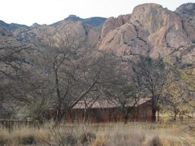
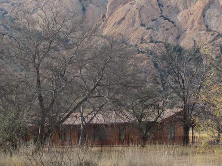
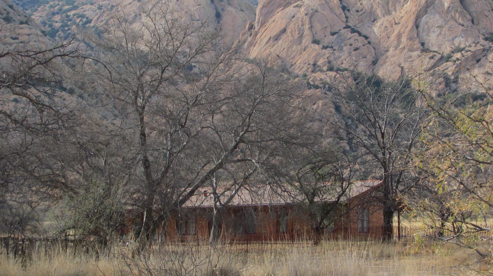
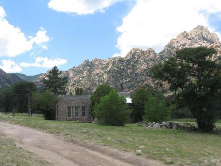
Shaw House is a stone masonry cabin located in East Cochise Stronghold in the Dragoon Mountains of the Coronado National Forest. The house is nestled in a dramatic landscape of canyons and rock formations offering guests to the area a unique lodging experience. Nearby trails provide excellent hiking, mountain biking, and horseback riding opportunities.

Recreation

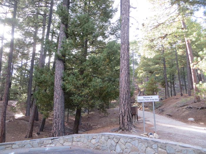
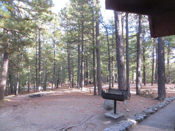
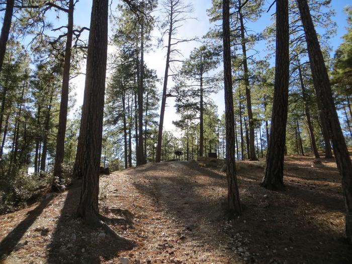
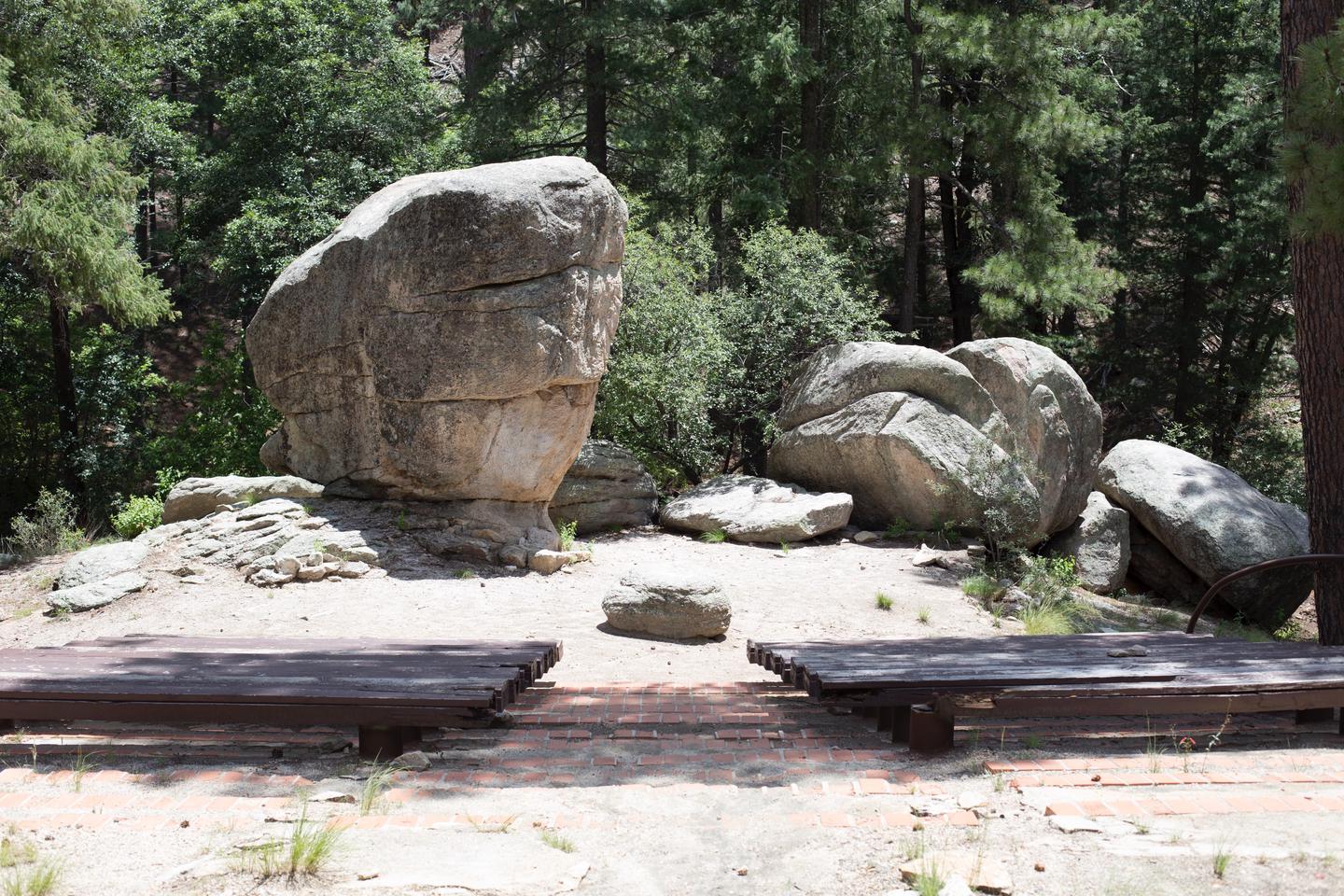
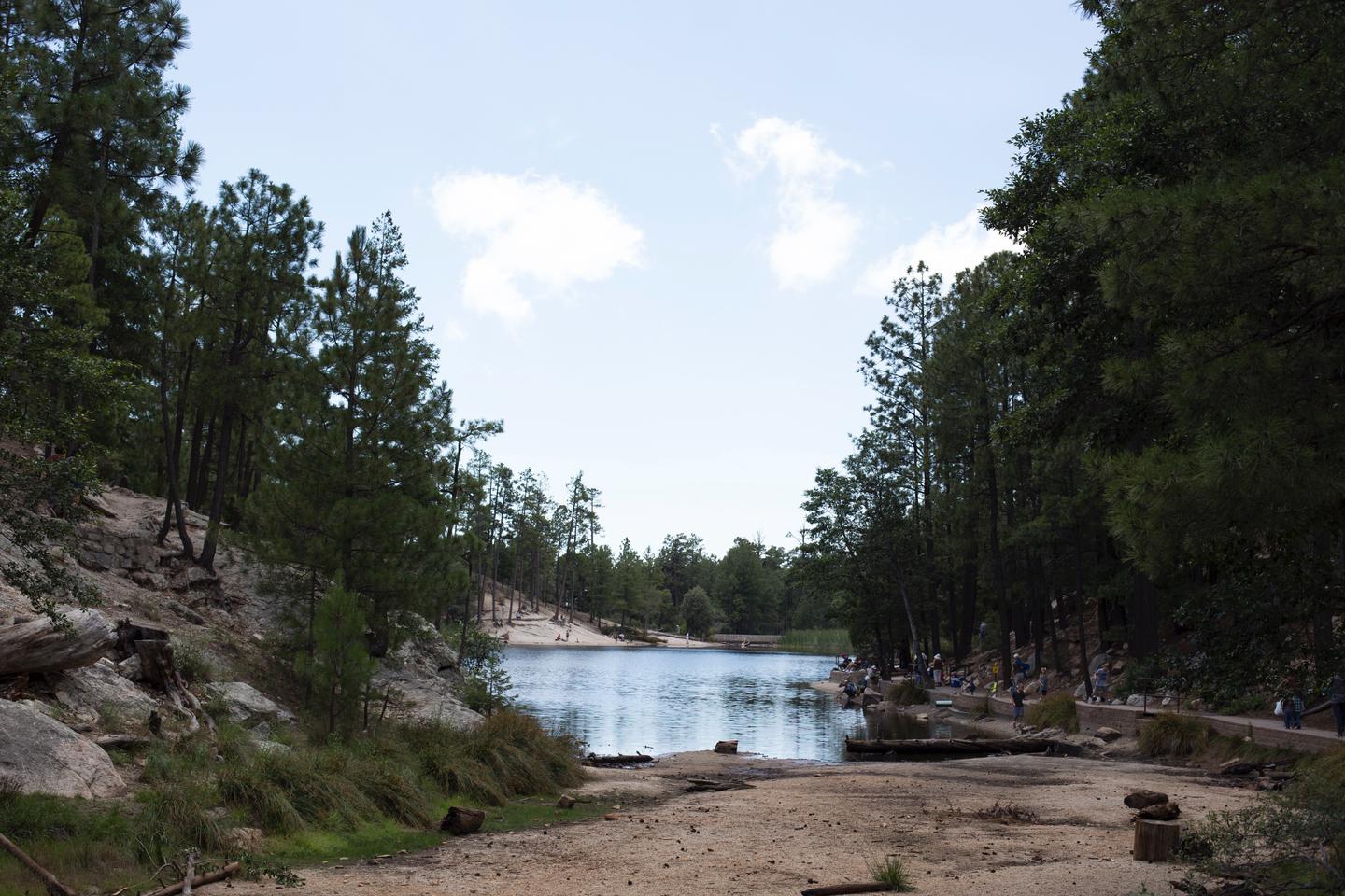
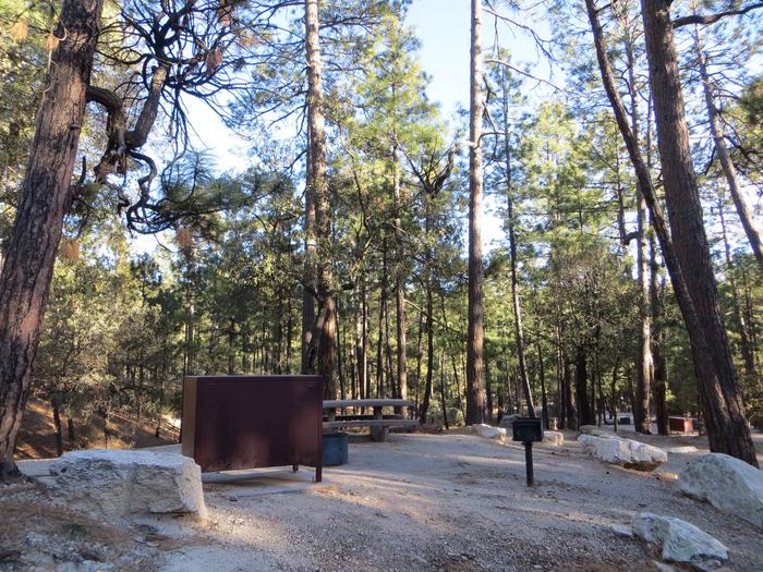
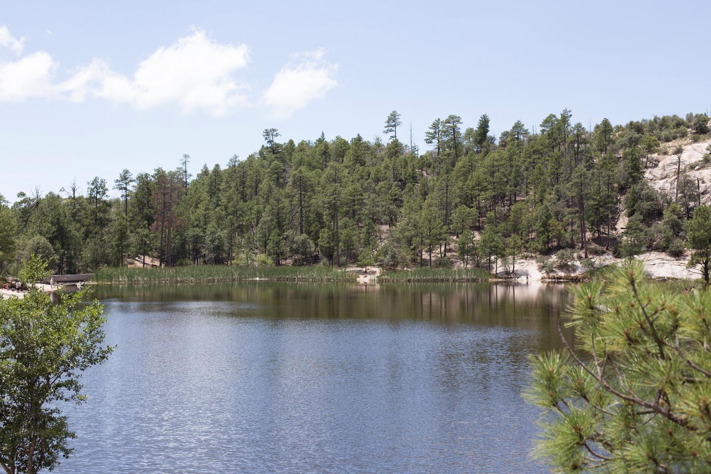
With rugged granite formations, wooded slopes, seasonal streams, and an amazing variety of plants and wildlife, the Cochise Stronghold area is a popular recreation destination. Long considered a haven for rock climbing and bouldering, the area features backcountry and protected routes ranging from one to seven pitches in length, and from 5.6 to 5.12 in difficulty. Most approaches are 30-60 minutes in length, although there are a number of known areas that are easily accessible from the roads. Nearby trails also provide excellent hiking, mountain biking, and horseback riding opportunities. There are signed interpretive trail for both natural and cultural resources at the nearby Cochise Stronghold Campground.

Facilities

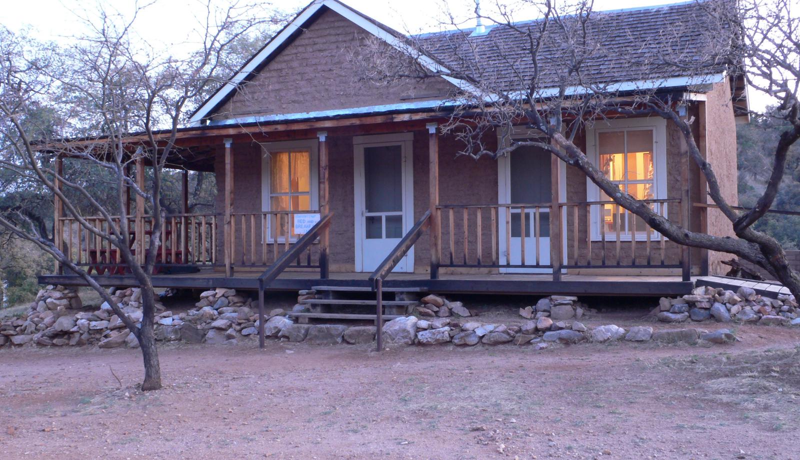
Shaw House is an eight-room residence, suitable for groups of up to 10 people. The house has three bedrooms, two bathrooms, a living room, a dining room and a kitchen. The master bedroom has a queen-size bed; the second bedroom has two twin-over-double bunk beds, and there is a double-sized futon in the third bedroom. The living room contains two full-sized futons, and several end tables. Both bathrooms have showers, sinks, and toilets.
.
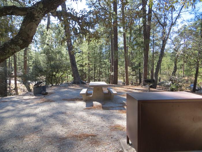
The dining room is furnished with a table and seating for six. The kitchen is equipped with a stove, oven, microwave, refrigerator, pots, pans, utensils, dishes, and coffeepot. The house has electricity and running water, as well as two wood stoves – one in the living room, the other in the master bedroom (firewood is provided). Outside, guests will enjoy using the propane grill and picnic table for outdoor dining. The cabin also has a screened in porch.

Although the cabin has amenities for comfortable lodging, guests do need to provide some of their own supplies, including food, sleeping bags, linens, pillows, towels, dish soap, matches, a first aid kit, toilet paper and garbage bags. Although electricity is available, it is recommended that guests bring an additional light source in case of emergencies.

Horse corrals are available near the cabin. Up to four horses/mules are permitted in the corrals, and feed for the horses must be certified weed-free.

Natural Features

Shaw House is surrounded by the rugged beauty of East Cochise Stronghold. The sparsely wooded Dragoon Mountains form a protective rampart of granite spires, sheer cliffs, balanced rocks and boulders, which were once the refuge of the Apache Chief, Cochise. The area is abundant with wildlife, including white-tailed and mule deer, rabbits, wild turkeys, and squirrels. Bats, black bear, Coati, foxes, ring-tailed cats, bobcats, and mountain lion find habitat in the area as well, but are more often seen in the twilight and nocturnal hours.

Nearby Attractions

The Shaw House is located approximately ten miles west of Sunsites, Arizona. Attractions in the area include the Chiricahua National Monument, Fort Bowie National Historic Site, the Amerind Foundation, and the Willcox Playa.

Nearby Activities

  • Biking
  • Historic & cultural site
  • Camping
  • Hiking
  • Horseback riding
  • Wildlife viewing

Gallery

Directions

From Tucson, take I-10 east to Exit #318 (Dragoon Road). Turn right onto Dragoon Road and travel for approximately 10 miles to the Cochise Stronghold Road. Turn right on Cochise Stronghold Road and travel for approximately 6 miles to Ironwood Road. The paved road dead ends at Ironwood Road. Turn right on Ironwod Road and travel for approximately 4 miles.The Shaw House is the large rock house located off to the left of Ironwood Road behind a locked gate.

GPS Coordinates

Latitude 31° 55′ 35.0000″ N

Longitude 109° 57′ 20.0002″ W

Categories
Uncategorized

HALF MOON RANCH

Overview

Half Moon Ranch is a ranch style house located in East Cochise Stronghold in the Dragoon Mountains of the Coronado National Forest, approximately 1-1/2 hours east of Tucson. The house is situated in a dramatic canyon that provides excellent rock climbing, hiking, mountain biking, and horseback riding opportunities.

Recreation

The area around Half Moon ranch has long been considered a bouldering and rock climbing paradise, boasting backcountry and protected routes ranging from one to seven pitches in length, and from 5.6 to 5.12 in difficulty. Most approaches are 30-60 minutes in length, although there are a number of known areas that are easily accessible from the roads. In addition, the nearby Cochise Stronghold Campground has interpretive tales for both natural and cultural resources and history.

Facilities

Half Moon Ranch is a seven-room ranch style house, suitable for groups of up to 10 people. The house has two bedrooms, two full bathrooms, a living room, a dining room and a kitchen. The master bedroom has a queen-size bed; the second bedroom has a twin-over-double bunk bed and a single bed. The living room contains two double futons and a wood stove (firewood is provided). The dining room has a table and chairs that seats six.

A small dinette set with seating for four is located in the kitchen. The kitchen is equipped with a stove, oven, microwave and refrigerator, pots, pans, utensils, dishes, coffeepot. The house has electricity and running water. Outside, guests will enjoy using the propane grill and picnic table for outdoor cooking and dining.

Although the cabin has amenities for comfortable lodging, guests do need to provide some of their own supplies, including food, sleeping bags, linens, pillows, towels, dish soap, matches, a first aid kit, toilet paper and garbage bags. Although electricity is available, it is recommended that guests bring an additional light source in case of emergencies.

A barn and corrals are located to the east of the main house. There is a covered storage area for hay.. Up to six horses/mules are permitted in the corrals, and feed for the horses must be certified weed-free.

Natural Features

Half Moon Ranch is surrounded by the rugged beauty of the Dragoon Mountains and Cochise Stronghold. At an elevation of 5,000 feet, the sparsely wooded area is a protective rampart of granite spires, sheer cliffs, and balanced rocks and boulders which were once the refuge of the Apache Chief, Cochise. The ranch house lies in a mountain range or “sky island” in the Coronado National Forest, rising dramatically from the desert floor and supporting abundant and biologically diverse plant and animal communities.

Nearby Attractions

The Half Moon Ranch is located approximately 9 miles west of Sunsites, Arizona. Attractions in the area include the Chiricahua National Monument, Fort Bowie National Historic Site, the Amerind Foundation, the ghost towns of Gleeson, Dos Cabezas, and Courtland, and the Willcox Playa.

Nearby Activities

  • Camping
  • Hiking
  • Horseback riding
  • Wildlife viewing
  • Mountain biking
  • Birding
  • Rock climbing
  • Museum

Gallery

Directions

From Tucson: Take I-10 east to Exit #318 (Dragoon Road). Turn right onto Dragoon Road and travel for approximately 10 miles through the village of Dragoon to the Cochise Stronghold Road. Turn right on Cochise Stronghold Road and travel for approximately 6 miles to Ironwood Road. The paved road dead ends at Ironwood Road. Turn right, and travel for approximately 3 miles to the first creek crossing. The entrance to the Half Moon Ranch is on the left just beyond the crossing.

GPS Coordinates

Latitude 31° 56′ 46.9399″ N

Longitude 109° 57′ 19.2301″ W

Categories
Uncategorized

KENTUCKY CAMP CABIN AND HEADQUARTERS BUILDING

Overview

Kentucky Camp Cabin and Headquarters is located in the Santa Rita Mountains near Sonoita, Arizona in the Coronado National Forest. The five adobe buildings originally served as headquarters for the Santa Rita Water and Mining Company from 1902 to 1906. The facility also served as a cattle ranch from the 1920s through the 1960s. The Forest Service acquired the land in 1989 and it has since become an ideal location for guests seeking a unique lodging experience, rich in mining and ranching history.

Recreation

The area has popular hiking, mountain biking, and horseback riding trails which range from gentle walking paths, to steep, strenuous trails leading to the top of 9,453-foot Mt. Wrightson and other nearby peaks. The Arizona Trail runs through Kentucky Camp. Two-track and dirt roads are available for off-highway vehicle travel around Kentucky Camp; however, off-highway vehicles may not be ridden within the site’s boundaries.

Birders congregate in southeastern Arizona as it is touted as one of the country’s most revered birding areas. With fifteen species of hummingbirds, 36 species of wood warblers, and over 256 documented bird species, the area is a birder’s paradise.

Facilities

This facility consists of a cabin and headquarters building. The cabin can accommodate up to five people, and is equipped with two twin beds, a twin bunkbed and a full-sized futon. The kitchen has basic amenities including a small refrigerator, microwave, hot plate, coffee pot, dishes, utensils, cookware, and a table and chairs. The cabin has propane heat. Outside, there is a grill and picnic table for outdoor dining. A vault toilet, stall for solar showers, and an outdoor sink are located on site. The cabin has electricity, but no indoor running water. Guests must bring their own food, sleeping bags, linens, towels, dish soap, matches, a first aid kit, toilet paper and garbage bags.

The headquarters building is a day-use area only, and can accommodate up to 50 people. The building is available for meetings, retreats, weddings, and family reunions. Amenities in this building include tables and chairs, couches, rocking chairs, and a large wrap-around porch with four Adirondack chairs. A small kitchenette is equipped with a refrigerator, microwave, coffee pot, crockpot, dishes, utensils, and some cookware. Outside are a charcoal grill and two picnic tables. This building also has electricity, but no heat or indoor plumbing.

Natural Features

Spanning four life zones and several ecosystems between the Sonoran desert and the “Sky Island” mountain peaks, the area surrounding the camp and cabin supports abundant and biologically diverse plant and animal communities.

Mountain peaks, high desert grasslands, and seasonal streams provide diverse habitat for the area’s abundant wildlife. White-tailed and mule deer, rabbits, wild turkeys, and squirrels are commonly seen, along with numerous bird species. While black bear, Coati, foxes, ring-tailed cats, bobcats and mountain lions are more elusive.

Nearby Attractions

Numerous attractions are available nearby in Madera Canyon. Attractions within a one-hour drive include the Mining Museum, Titan Missile Museum, Whipple Observatory, Arizona-Sonora Desert Museum, San Xavier Mission, the Amerind Foundation, and Tumacacori National Historical Park.

Nearby Activities

  • Camping
  • Hiking
  • Hunting
  • Wildlife viewing
  • Mountain biking
  • Birding
  • Historic sites
  • Winery tours

Gallery

Directions

From Tucson, take I-10 east to Exit #281 (Highway 83 – Sonoita/Patagonia). Travel south on Highway 83 for approximately 21 miles to the signed turnoff for Gardner Canyon Road. Turn right on Gardner Canyon Road and continue 0.9 mile to Forest Service Road 163. Turn right on Forest Service Road 163 and continue approximately 5 miles to the entrance to Kentucky Camp. Stay to the left and continue to the parking lot and gate that marks the entrance to Kentucky Camp. There are signs to Kentucky Camp from Highway 83.

GPS Coordinates

Latitude 31° 43′ 59.9999″ N

Longitude 110° 43′ 0.0001″ W

Categories
Uncategorized

SHOWERS POINT GROUP SITE

Overview

The cool shade of tall ponderosa pines and an overlook of Palisade Canyon from the campgrounds edge make Showers Point Group Site a popular place for groups to spend a weekend or an afternoon. Visitors can relax in shaded campsites, picnic at nearby Rose Canyon, hike and mountain bike on nearby trails or take a scenic drive on Catalina Highway.

Recreation

Within easy walking distance from Showers Point is one of the most scenic overlooks in the Santa Catalinas. From this towering bluff visitors can see the lower slopes of the Santa Catalina Range and the Santa Cruz Valley stretching toward Mexico. Tall, pyramid-shaped Mt. Wrightson of the Santa Rita Mountains stands prominent on the horizon.

Visitors enjoy hiking through the Santa Catalina backcountry, via the Palisade Trail that departs near the campground. The trail drops down the southwestern slopes of the mountain range to the popular Sabino Canyon Recreation Area.

Fishing is also available at the nearby six-acre Rose Canyon Lake. A day-use fee is applicable at Rose Canyon

Facilities

The three group campsites at Showers Point are well spread out over this spacious location and include large, leveled tent pads and picnic shelters. Each site is tent-only for up to 25 guests. The facility is equipped with water faucets and toilets.

Natural Features

Showers Point Group Campground sits high on the slopes of the Santa Catalina Mountains at 7,700 feet. Because of its elevation, it can be much cooler than the lower-elevation campgrounds in the area. The campsites are spacious and spread out among stands of big ponderosa pines and clusters of Gambel oak.

The Coronado National Forest covers 1.78 million acres of southeastern Arizona and southwestern New Mexico. Elevations range from 3,000 to 10,720 feet in 12 widely scattered mountain ranges, or "sky islands," that rise dramatically from the desert floor, supporting biologically diverse plant communities.

Nearby Attractions

Catalina Highway, also known as General Hitchcock Highway and Sky Island Scenic Byway, is the only paved road that leads to the upper reaches of Mt. Lemmon and the Santa Catalina Range. It is one of the most scenic highways in the southwest and provides a popular day trip.

Other notable attractions include Saguaro National Park, Sabino Canyon and Colossal Cave.

Nearby Activities

  • Camping
  • Fishing

Gallery

Directions

From Tucson, Arizona, go northeast on Catalina Highway approximately 30 miles from Tucson until just before Milepost 20. Turn left on Organization Ridge Road and travel 1.2 miles to Showers Point.

GPS Coordinates

Latitude 32° 24′ 29.9999″ N

Longitude 110° 43′ 14.0002″ W

Categories
Uncategorized

ROSE CANYON

Overview

Rose Canyon Campground is just 17 miles northeast of Tucson, Arizona, off the Catalina Highway Scenic Drive near the summit of Mt. Lemmon. This area is popular for day use as well as overnight camping. With a high elevation, forested setting, two group picnic areas and opportunities for hiking, wildlife viewing and fishing, Rose Canyon offers a great summer respite from the city.

Recreation

The lake is sheltered by trees and offers a pleasant setting for a walk in the woods, relaxing on the shore or spending an afternoon fishing for stocked trout. A one-mile trail around the lake is convenient for anglers and hikers. The trail is accessible from the lower parking area to a floating dock near a dam.

The surrounding national forest boasts a variety of hiking and mountain biking trails, including several that traverse the 9,157-foot Mt. Lemmon.

Facilities

The campground offers spacious, single-family campsites, as well as two group day use areas with picnic shelters, one of which can be reserved for up to 120 guests. The facility is equipped with picnic tables, campfire rings with grills and vault toilets.

Natural Features

The campground sits high on the slopes of the Santa Catalina Mountains, at an elevation of 7,000 feet. Because of its elevation, it can be much cooler than the lower-elevation campgrounds in the area. The campsites are spacious and spread out among stands of large ponderosa pines and clusters of Gambel oak. During the summer rainy season, Rose Creek meanders through the area to the six-acre Rose Canyon Lake at the lower end of the campground.

The Coronado National Forest covers 1.78 million acres of southeastern Arizona and southwestern New Mexico. Elevations range from 3,000 to 10,720 feet in 12 widely scattered mountain ranges, or "sky islands," that rise dramatically from the desert floor, supporting biologically diverse plant communities.

Nearby Attractions

Catalina Highway, also known as General Hitchcock Highway and Sky Island Scenic Byway, is the only paved road that leads to the upper reaches of Mt. Lemmon and the Santa Catalina Range. It is one of the most scenic highways in the southwest and is a popular day trip.

Other notable attractions include Saguaro National Park, Sabino Canyon and Colossal Cave.

Nearby Activities

  • Camping
  • Fishing
  • Day use area

Gallery

Directions

From Tucson, Arizona, take Catalina Highway/Arizona Route 39 northeast. The campground is located between mile markers 17 and 18 on the Catalina Highway.

GPS Coordinates

Latitude 32° 23′ 42.0000″ N

Longitude 110° 41′ 28.0000″ W

Categories
Uncategorized

Bonito Campground

Bonito Campground is named for the Bonito Lava Flow which oozed across this high desert plain some 900 years ago. That river of liquid rock, now frozen forever, is just one of the many remnants of volcanic activity which lend an otherwordly appearance to this starkly beautiful place. Though the cinder cones, lava squeeze-ups, lava caves, and petrified rock bubbles that dot the landscape became inactive over a century ago, they all look as if they could have been spurting and spouting just yesterday. This area of recent volcanic activity is so unique that much of it has been set aside as the Sunset Crater National Monument. The monument is located just beyond the boundaries of the campground.

Also nearby is Wupatki National Monument. The centerpiece of this area is a four story masterpiece of Native American stone masonry. Construction of that stone-age condominium began in about A. D. 1120. At one time it contained as many as 100 rooms and housed as many as 125 people. Both Sunset Crater and Wupatki have visitor centers and feature self-guided as well as interpreter guided tours.

The campsites are located in a stand of ponderosa pines struggling to establish a foothold in this hostile environment. All roads and spurs are paved.


Hover mouse over photo to display slideshow controls. View album on Flicker

Camping: Bonito Campground


Nearby Activities

  • Camping
  • Picnicking

Directions

Location: 18 miles northeast of Flagstaff, near Sunset Crater/Wupatki National Monument. Elevation is 6,900 feet.

GPS (Map): 35°22’13.5″N 111°32’37.0″W

Access: Drive 12 miles northeast of Flagstaff on US 89. Turn east (right) on FR 545 (toward Sunset Crater) and drive 2 miles to Bonito Campground. Campground entrance is JUST BEFORE the entrance station of Sunset Crater National Monument.


Click map thumbnail for larger view.

Bonito Campground Map


GPS Coordinates

Latitude 35° 22′ 13.5444″ N

Longitude 111° 32′ 36.9672″ W

Categories
Uncategorized

Lower Lake Mary

Sometimes it’s a lake. Sometimes it’s not. Lower Lake Mary, the smaller of Flagstaff’s twin lakes, has a tendency to disappear during the long dry spells that periodically hit this area. When the lake has water in it, which actually is much of the time, its banks are usually lined with anglers trying to catch the trout which the Arizona Game and Fish Department stocks here. If it stays full for a year or two, it will pick up a population of northern pike and catfish.

Access to this lake is directly off Forest Highway 3 (Lake Mary Road). The Lower Lake Mary Picnic Area at the northwestern end of the lake offers a great picnic location, no matter how high or low the water is, with wide open views and lots of tables and grills under ramadas. 

During the warm season it is a good place to watch elk, deer, bald eagles, great blue herons and other waterfowl. This is also a good location to bring a kite or bicycle (Lake Mary Road, aka Forest Highway 3, is a popular road for bicycle fans and racers).

See Lower Lake Mary Picnic Area for facility information. See Lake Mary Recreation Corridor for more recreation sites and information about the area.

Directions

Location: 7 miles southeast of Flagstaff on paved roads.

GPS (Map): 35°06’44.0″N 111°34’56.6″W

Access: Take Lake Mary Road (FH 3) south-east from Flagstaff, 7 miles. The day use parking area is on the west side of the road.


Click on map thumbnail for larger view.

Lower Lake Mary Map


GPS Coordinates

Latitude 35° 6′ 23.4756″ N

Longitude 111° 34′ 23.6172″ W

Categories
Uncategorized

Schultz Pass Road Scenic Drive

Here’s a convenient scenic drive that offers many of the same attractions as longer drives farther out of town. Shultz Pass once served as a short cut from settlements in the eastern part of the Flagstaff area to downtown. Today, it plays an important role as the quickest route to escape the hustle and bustle of the city for the peace and quiet of the national forest. This drive provides easy access to great views of the San Francisco Peaks, cool ponderosa pine forests, lots of hiking trails, picturesque picnic spots where you can spend the day or set up camp. In the fall it has a good display of colorful aspens and there is even a good chance you’ll see some of the resident elk, mule deer or other animals.

You can drive it in your car, pedal it on your mountain bike or even ride it on horseback. Take a picnic and spread your picnic blanket by Schultz Tank (at the Schultz Pass Trailhead), where you can often see ducks and birds playing and hunting around the water. Wander around the tank for beautiful Peaks views, or take a longer hike up Sunset Trail. Extend your tour by continuing up to Lockett Meadow before returning back to the turn-off to U.S. 89 for your return to Flagstaff.

However you choose to visit this popular area, you’ll no doubt find others doing the same Please show them the same consideration you would like to be shown in return.

Directions

Location: Drive north from Flagstaff about 2 miles on US 180. Just beyond the Museum of Northern Arizona, turn east on FR 420. Follow this route up and over Shultz Pass to US 89 where you’ll turn right for the return trip to Flagstaff.


Click on map image for PRINTABLE view.

Schultz Pass Road Map

GPS Coordinates

Latitude 0° 0′ 0.0000″ S

Longitude 0° 0′ 0.0000″ W

Categories
Uncategorized

Wing Mountain Dispersed Camping

Looking for a camping spot in the woods with easy access to some of the Flagstaff area’s fantastic trails and recreation opportunities along US 180? The Wing Mountain area southwest of the San Francisco Peaks offers fantastic dispersed camping along Forest Roads (FRs) 222 and 171, suitable for tents, campers, and recreational vehicles.

Wing Mountain is a prominent cinder cone volcano located approximately six miles southwest of the San Francisco Peaks, rising to an elevation of 8,560 feet. The mountain is surrounded by ponderosa pine forest on fairly level terrain at approximately 7,600 feet. 

  • FR 222 and FR 171: Easy to navigate, with fairly smooth, wide dirt roads offering areas where you may pull your vehicle and rig up to 300 feet off the road (refered to as “camping corridors” on the Motor Vehicle Use Map).
  • Western end of FR 222A (between FR 171 and FR 519): Easy to navigate and offers areas suitable for everything from tents to recreational vehicles. Warning: there is a section of FR 222A that requires high clearance and four wheel drive where it crosses a burned section of forest. 
  • Northern end of FR 222A (near FR 222) and western end of FR 9001P (near FR 171): These roads are narrower and rougher, and more suited to tent or small trailer camping.


Nearby Attractions and Activities

Distances and estimated driving times from the junction of US 180 and Forest Road 222:


Hover mouse cursor over image to display slideshow controls.

Camping: Wing Mountain Dispersed Camping Area

View album on Flicker


Directions

  • Flagstaff to Forest Road 222 via US 180 (map): Drive north on US 180 for 8.7 miles. Turn left on FR 222 (1.3 miles past Snowbowl Road). The dispersed camping area begins here and extends most of FR 222 (6.5 miles), and along FR 171 between FR 222 and FR 222A (to the south).
  • Flagstaff to Forest Road 171 via I-40 (map): Drive east on I-40 for 10 miles from the I-17/I-40 interchange. Take exit 185 toward Belmont. Turn right onto Transwestern Road, then left on Brannigan Park Road. Drive for 0.8 miles and turn right onto Forest Road 171. Drive 1.1 mile to the southern end of the dispersed camping area at the junction of FR 171 and FR 222A. The dispersed camping area extends up FR 171 for two miles to FR 222, and most of the lenghth of FR 222.

There are also additional dispersed camping corridors along FR 171 north of FR 222 in the Lava River Cave area.


Click on map thumbnail to open a larger view in a new window [PDF, 4.2 MB]:

Map of dispersed camping areas in the Wing Mountain area


GPS Coordinates

Latitude 35° 16′ 10.2828″ N

Longitude 111° 44′ 33.9576″ W

Categories
Uncategorized

Fossil Springs Wilderness (Mogollon Rim)


Destinations

The vast Fossil Springs Wilderness is located on both the Red Rock District and the Mogollon Rim District. Visit the official Fossil Creek Wilderness page for full details.

This 11,550 acre Wilderness boasts what has been described as the most diverse riparian area in Arizona. Over thirty species of trees and shrubs and over a hundred species of birds have been observed in this unique habitat.

Most people come to Fossil Creek to sunbathe, wade, hike and birdwatch. It’s also a great place to take photographs. The lushness of the riparian area strikes a sharp contrast to the brittle desert that surrounds it.


Directions

GPS Coordinates

Latitude 0° 0′ 0.0000″ S

Longitude 0° 0′ 0.0000″ W