Categories
Uncategorized

Cave Creek Road #42/42B Scenic Drive

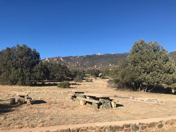
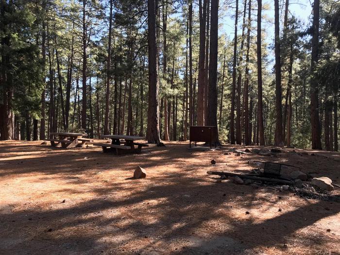
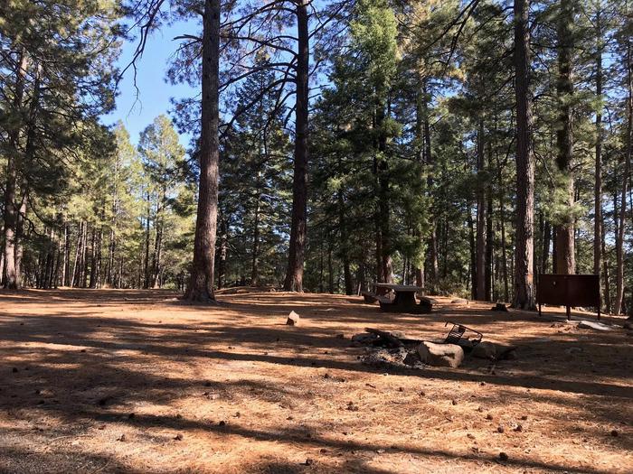
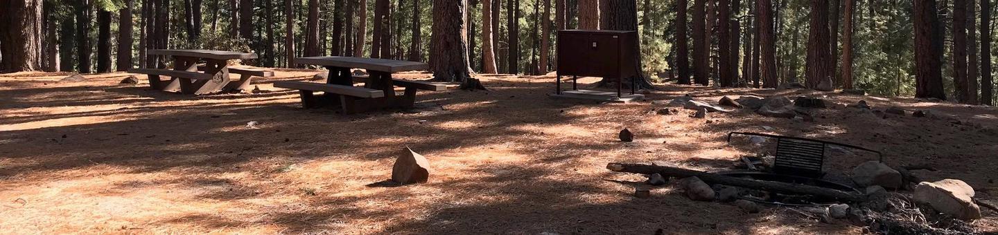
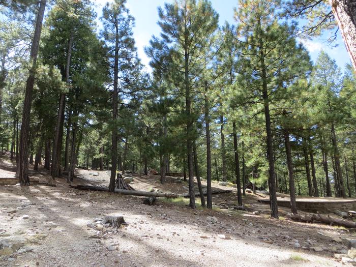
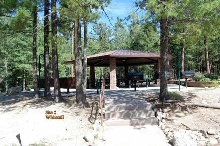
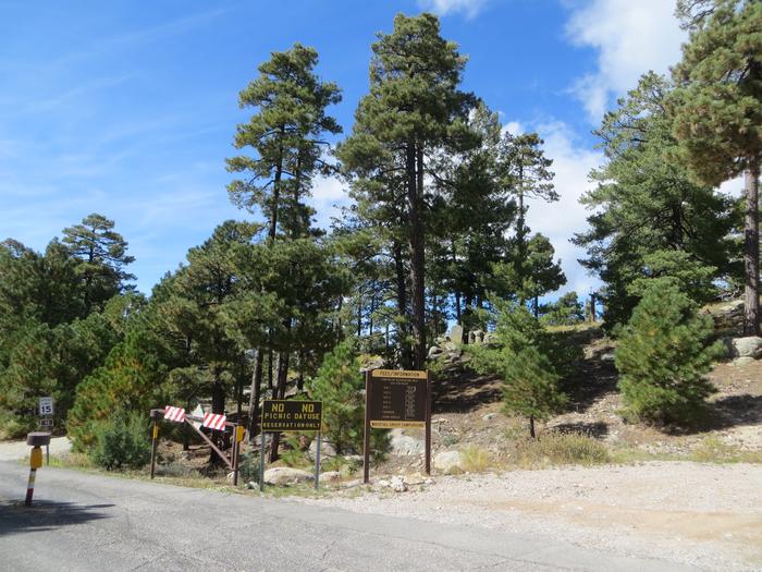
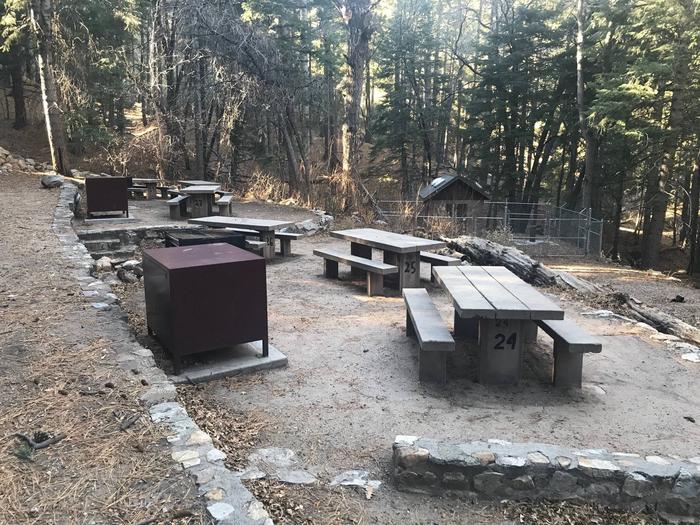
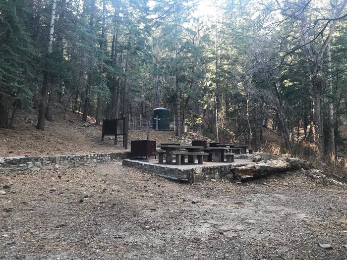
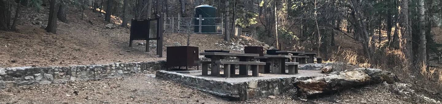
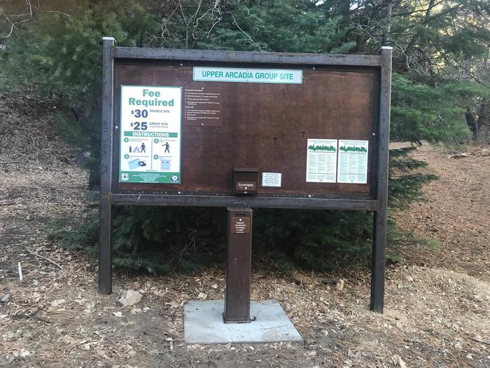
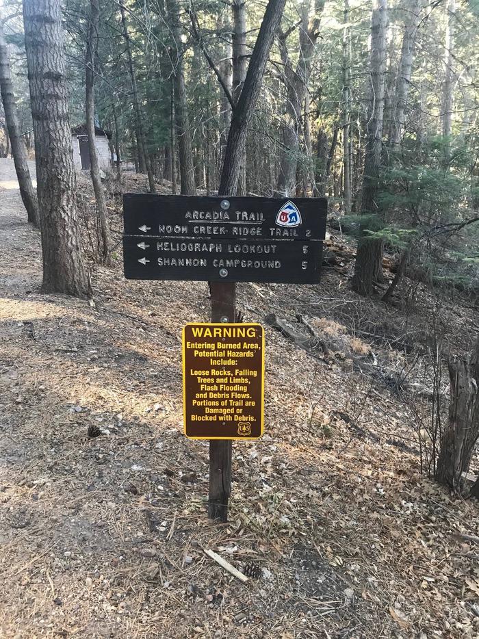
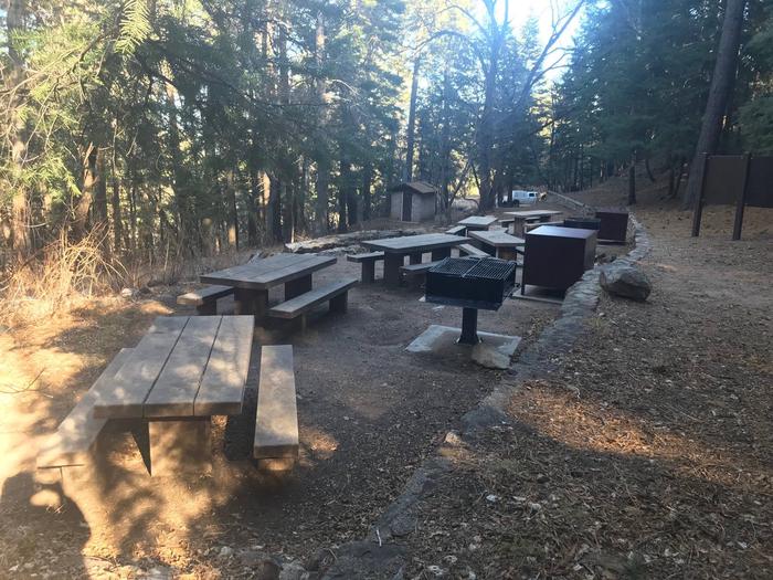
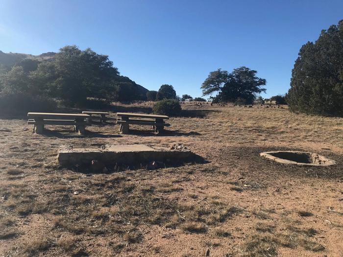
In Cave Creek you’ll find spectacular scenery, world class birdwatching, a riparian area teeming with unique wildlife, and a number of Forest recreation amenities to help you enjoy all those natural wonders. On this drive, you’ll get a good picture of what’s in store for you even before you enter the Forest. The soaring cliffs of Cave Creek Canyon, pocked with caves and punctuated with pinnacles, come into view well before you arrive. A short distance inside the Forest boundary, there is a Visitor Information Center (open year round, 7 days a week except for holidays, 9am-4pm) to provide you with valuable information, including books, pamphlets, and maps to help you more fully enjoy all that this very special area has to offer. Most who come here do at least a little birdwatching. This is one of the best places in the southwest to see the elegant trogon. Among the two hundred plus species that have been sighted here, there are many notable ones, such as the rose-breasted becard, olive warbler, red-faced warbler, magnificent hummingbird and blue-throated hummingbird. There are several Forest campgrounds in Cave Creek Canyon, as well as a number of trails that lead deeper into all that wonderful scenery. And if you’re not interested in doing a long hike, there is a short one to a scenic vista between Stewart Campground and South Fork Road. After leaving Cave Creek Canyon, the drive turns northwest through the old mining town of Paradise before heading southwest back to Portal. Much of this section of the drive leads through an open area of high desert providing good views of Silver Peak and Portal Peaks and another perspective on the colorful cliffs of Cave Creek Canyon.

Directions

From Tucson, take I-10 east for 139 miles (you’ll cross the New Mexico border). Turn right (south) on US 80 and drive 28 miles, then turn right (west) 7 miles into Portal. From Douglas, take US 80 approximately 50 miles east toward Rodeo, New Mexico. Two miles past Rodeo, turn left (west) on the road to Portal. From Portal, drive south on Forest Road 42 for 9 miles to the Paradise turnoff. Turn right on FR 42B and continue 3 miles to Paradise. Turn right (still FR 42B) and drive 5 miles back to Portal.

GPS Coordinates

Latitude 0° 0′ 0.0000″ S

Longitude 0° 0′ 0.0000″ W

Categories
Uncategorized

Chiricahua Mountains

Part of the Douglas Ranger District.

Directions

GPS Coordinates

Latitude 31° 50′ 33.0000″ N

Longitude 109° 16′ 40.8000″ W

Categories
Uncategorized

Safford Recreation Area

This recreation area is the home of the Coronado's most extensive mountain range, the Pinaleños, and topped by the highest peak in southern Arizona, 10,720 foot Mt. Graham.  A scenic road named the Swift Trail (Hwy 366) leads into these unique mountains and provides access to campgrounds, Forest trails, and fishing at Riggs Lake.

The Safford Recreation Area is also home to the Galiuro Mountains and the Santa Teresa Range.  The 76,317 acre Galiuro Wilderness is steeped in history and contains an extensive trail network.

The Santa Teresas are rugged and remote, with a variety of primitive trails leading into a 26,780 acre Wilderness.

Directions

GPS Coordinates

Latitude 32° 38′ 44.5200″ N

Longitude 109° 50′ 34.8000″ W

Categories
Uncategorized

UPPER TWILIGHT GROUP SITE

Overview

At an elevation of 7,400 feet, Upper Twilight Group Site offers groups a secluded camping escape from the summer desert heat. The scenic mountain setting is a great base for hiking, wildlife viewing and picnicking. The facility sits along the Swift Trail in southeastern Arizona, adjacent to Lower Twilight Group Site.

Recreation

The campground lies along the Swift Trail Scenic Drive, which takes visitors from the Sonoran Desert at 2,900 feet to alpine meadows and forest on the 9,000+ foot ridges of the Pinaleño Range. Because of its diverse habitat, the area is well-known for birding and wildlife watching.

The Swift Trail provides access to a number of hiking, horseback riding and mountain biking trails, along with several other campgrounds that invite you for an afternoon picnic. A trip up to Rigg’s Lake, stocked with trout by Arizona Game & Fish, or to the Columbine Visitors Center could make a worth-while day trip as well. 

Facilities

Upper Twilight can accommodate a single group of up to 50 guests. Amenities include vault toilets, parking areas for up to six vehicles, picnic tables, and a group campfire ring with a grill. Bear-proof food lockers and trash cans are provided to keep visitors and wildlife safe. Dead-and-downed firewood may be collected in and around the campsite. 

Natural Features

The campground lies beneath a nice canopy of ponderosa pine trees in the scenic Pinaleño Mountains in Coronado National Forest. Temperatures are very pleasant in summer compared to the heat of surrounding lowers deserts. 

The Coronado National Forest covers 1.78 million acres of southeastern Arizona and southwestern New Mexico. Elevations range from 3,000 to 10,720 feet in 12 widely scattered mountain ranges, or “sky islands,” that rise dramatically from the desert floor, supporting biologically diverse plant communities.

Nearby Attractions

The Mount Graham Wilderness Study Area, which includes the 10,720-foot Mount Graham, the tallest mountain in southern Arizona. Columbine Visitors Center, Riggs Lake, and a variety of trails can be accessed along the Swift Trail Scenic Drive. 

The town of Safford is approximately a 45 minute drive from the Twilight campground, heading north on SR 191. Safford is home to our Ranger Station, where you can go to find information about trails, camping, hunting and fishing, and other questions you may have about our district (open Monday-Friday, 8am-4:30pm).

Charges & Cancellations

Please review the Rules & Reservations Policies page on recreation.gov

Nearby Activities

  • Biking
  • Camping
  • Fishing
  • Hiking
  • Picnicking
  • Visitor center
  • Wildlife viewing
  • Ranger station
  • Scenic drive

Gallery

Directions

From Safford, Arizona: Take State Route 191 south for 6 miles. Turn right onto State Route 366/Swift Trail and travel 14.5 miles to the Twilight Campground entrance (MM 128.4), following the road for 1 mile to the Upper Twilight Group Site. 

From Tucson, Arizona: Take I-10 East for 90 miles. Take exit 352 for State Route 191, and turn left toward Safford. Drive 26.3 miles north and turn left on State Route 366/Swift Trail. Continue for 14.5 miles to the Twilight Campground entrance (MM 128.4), following the road for 1 mile to the Upper Twilight Group Site. 

GPS Coordinates

Latitude 32° 38′ 39.9998″ N

Longitude 109° 49′ 32.9999″ W

Categories
Uncategorized

LOWER TWILIGHT GROUP SITE

Overview

Lower Twilight Group Site offers groups a secluded camping escape from the summer desert heat. The scenic mountain setting is a great base for hiking, wildlife viewing and picnicking. The facility sits along the Swift Trail in southeastern Arizona, adjacent to Upper Twilight Group Site.

Recreation

The campground lies along the Swift Trail Scenic Drive, which takes visitors from the Sonoran Desert at 2,900 feet to alpine meadows and forest on the 9,000+ foot ridges of the Pinaleño Range. Because of its diverse habitat, the area is well-known for birding and wildlife watching.

The Swift Trail provides access to a number of hiking, horseback riding and mountain biking trails, along with several other campgrounds that invite you for an afternoon picnic. A trip up to Rigg’s Lake, stocked with trout by Arizona Game & Fish, or to the Columbine Visitors Center could make a worth-while day trip as well. 

Facilities

Lower Twilight can accommodate a single group of up to 50 people for camping. Parking is available for up to six vehicles. Amenities include picnic tables, campfire rings with grills, and bear-proof food lockers and trash cans. Vault toilets are located at Upper Twilight Group Site, a short walk away. Dead-and-down firewood may be collected in and around the campsite. 

Natural Features

At an elevation of 7,400 feet, the campground lies beneath a nice canopy of ponderosa pine trees in the scenic Pinaleño Mountains in Coronado National Forest. Temperatures are very pleasant in summer compared to the heat of surrounding lowers deserts. 

The Coronado National Forest covers 1.78 million acres of southeastern Arizona and southwestern New Mexico. Elevations range from 3,000 to 10,720 feet in 12 widely scattered mountain ranges, or “sky islands,” that rise dramatically from the desert floor, supporting biologically diverse plant communities.

Nearby Attractions

The Mount Graham Wilderness Study Area, which includes the 10,720-foot Mount Graham, the tallest mountain in southern Arizona. Columbine Visitors Center, Riggs Lake, and a variety of trails can be accessed along the Swift Trail Scenic Drive. 

The town of Safford is approximately a 45 minute drive from the Twilight campground, heading north on SR 191. Safford is home to our Ranger Station, where you can go to find information about trails, camping, hunting and fishing, and other questions you may have about our district (open Monday-Friday, 8am-4:30pm).

Charges & Cancellations

Please review the Rules & Reservations Policies page on recreation.gov

Nearby Activities

  • Biking
  • Camping
  • Fishing
  • Hiking
  • Picnicking
  • Visitor center
  • Wildlife viewing
  • Ranger station
  • Scenic drive

Gallery

Directions

From Safford, Arizona: Take State Route 191 south for 6 miles. Turn right onto State Route 366/Swift Trail and travel 14.5 miles to the Twilight Campground entrance (MM 128.4), following the road for 1 mile to the Lower Twilight Group Site. 

From Tucson, Arizona: Take I-10 East for 90 miles. Take exit 352 for State Route 191, and turn left toward Safford. Drive 26.3 miles north and turn left on State Route 366/Swift Trail. Continue for 14.5 miles to the Twilight Campground entrance (MM 128.4), following the road for 1 mile to the Lower Twilight Group Site. 

GPS Coordinates

Latitude 32° 38′ 39.9998″ N

Longitude 109° 49′ 32.9999″ W

Categories
Uncategorized

WHITETAIL CAMPGROUND

Overview

Whitetail Campground offers group campsites in the foothills of the Catalina Mountains of southeastern Arizona, 5 miles south of the town of Summerhaven and the top of Mt. Lemmon. Groups can enjoy picking, hiking, camping and wildlife watching while enjoying a cool respite from hot summer. The facility can accommodate groups for day or overnight use.

Recreation

Hiking and sightseeing are popular activities. The surrounding national forest boasts a variety of trails, including some on the 9,157-foot Mt. Lemmon, for those who wish to venture away from the campground for the day.

The University of Arizona runs an observatory just up the road, and visitors can also drive a few minutes to the small town of Summerhaven, which offers amenities and attractions on Mt. Lemmon’s summit.

Anglers can try for stocked trout at nearby Rose Canyon Lake.

Facilities

All five group areas have picnic shelters that can accommodate between 40 to 90 people each and come equipped with drinking water, electricity (small appliances only), trash collection and vault toilets.

Natural Features

Whitetail Campground sits high on the slopes of the Santa Catalina Mountains at an elevation of 8,000 feet. Because of its elevation, it can be much cooler than the lower-elevation campgrounds in the area. The campsites are spacious and spread out among stands of big ponderosa pines

The Coronado National Forest covers 1.78 million acres of southeastern Arizona and southwestern New Mexico. Elevations range from 3,000 to 10,720 feet in 12 widely scattered mountain ranges, or “sky islands,” that rise dramatically from the desert floor, supporting biologically diverse plant communities.

Nearby Attractions

Catalina Highway, also known as General Hitchcock Highway and Sky Island Scenic Byway, is the only paved road that leads to the upper reaches of Mt. Lemmon and the Santa Catalina Range, offering a scenic day trip.

Other notable attractions include Saguaro National Park, Sabino Canyon and Colossal Cave.

Nearby Activities

  • Camping
  • Hiking

Gallery

Directions

From Tucson, Arizona, go north on Catalina Highway approximately 30 miles from Tucson until you reach Milepost 20. Turn Left on Whitetail Road.

GPS Coordinates

Latitude 32° 24′ 42.9998″ N

Longitude 110° 43′ 54.9998″ W

Categories
Uncategorized

KENT SPRINGS CABIN

Overview

Kent Springs Cabin is located in the Madera Canyon Recreation Area, 15 miles southeast of Green Valley, Arizona in the Coronado National Forest. Located in an area boasting unique natural features and historical sites, the secluded and private cabin is an ideal location for guests seeking relaxation and recreation although less than an hour from Tucson.

Recreation

Madera Canyon hiking trails are well-known throughout the Southwest, and vary from paved, accessible trails and gentle walking paths to steep, strenuous trails leading to the top of 9,453-foot Mt. Wrightson. Madera Canyon is also touted as one of the country’s most revered birding areas. With fifteen species of hummingbirds, the Sulphur-bellied Flycatcher, the Flame-colored Tanager, 36 species of wood warblers, and over 256 documented bird species, the area is a birder’s paradise.

Facilities

With 1,500 square feet of indoor space, including two bedrooms, one full bathroom, two living rooms, and a fully-equipped kitchen, the Kent Springs Cabin accommodates up to 8 people comfortably. It also has a large deck overlooking a creek, and parking is available on site. Sleeping accommodations include a queen bed, a twin over double bunk bed, a roll-away single bed, and a double futon couch. The kitchen is equipped with an electric range/oven, refrigeratior, and microwave. There is a large dining table with benches, and a fireplace in the large living room. The cabin is largely barrier-free to provide access to more visitors.

Although the cabin has several amenities, guests must also provide some of their own supplies, including food, sleeping bags, linens, towels, dish soap, matches, a first aid kit, toilet paper and garbage bags. Firewood is provided.

Natural Features

Kent Springs Cabin is located in the heart of Madera Canyon within the Santa Rita Mountains. Spanning four life zones and several ecosystems between desert and mountain peaks, the area has become a well-known “sky island,” supporting abundant and biologically diverse plant and animal communities. The area supports a variety of wildlife, including white-tailed and mule deer, rabbits, wild turkeys, and squirrels. Black bear, Coati, foxes, ring-tailed cats, bobcats, and mountain lion are more elusive. Sixteen species of bats have been recorded in the canyon.

Nearby Attractions

The cabin is located less than a half-hour from Green Valley and within an hour of Tucson and Nogales, Arizona. Attractions within an hour drive include the Mining Museum, Titan Missile Museum, Whipple Observatory, Arizona-Sonora Desert Museum, San Xavier Mission, historic Tubac, and Tumacacori National Historical Park.

Nearby Activities

  • Historic & cultural site
  • Camping
  • Interpretive programs
  • Hiking
  • Wildlife viewing

Gallery

Directions

From the intersection of I-10 and I-19 in Tucson, travel south on 1-19 about 35 miles to the Continental Road exit (Exit 63) in Green Valley, Arizona. Turn left (east) onto Continental Road and go approximately 1 mile to the junction with the Madera Canyon/White House Canyon Road. Turn right (southeast) and travel approximately 14 miles into Madera Canyon. Stay on the paved road. The signed access road to the cabin is the second left past the Madera Kubo Bed and Breakfast

GPS Coordinates

Latitude 31° 42′ 45.0000″ N

Longitude 110° 51′ 24.0001″ W

Categories
Uncategorized

UPPER ARCADIA

Overview

Upper Arcadia sits along Swift Trail in southeastern Arizona, providing an escape from desert heat and a pleasant place to take in the high desert scenery in spring and fall. Visitors enjoy hiking, camping, birding and picnicking.

Recreation

The campground lies along the Swift Trail Scenic Drive, which takes visitors from the Sonoran Desert at 2,900 feet to alpine meadows and forest on the 9,000+ foot ridges of the Pinaleño Range. Because of its diverse habitat, the area is well-known for birding and wildlife watching.

The Swift Trail provides access to a number of hiking, horseback riding and mountain biking trails, along with several other campgrounds that invite you for an afternoon picnic. A trip up to Rigg’s Lake, stocked with trout by Arizona Game & Fish, or to the Columbine Visitors Center could make a worth-while day trip as well. 

The Arcadia Trail #328 starts at the Upper Arcadia Campground and leads up the mountain to Shannon Campground. A 1-mile spur off this trail leads to the top of Heliograph Peak, one of the highest mountains in southeastern Arizona. 

Facilities

The group camping area can accommodate up to 75 people. Amenities include drinking water (available seasonally), vault toilets, picnic tables, and campfire rings with grills. Bear-proof food lockers and trash cans are provided to keep visitors and wildlife safe. Dead-and-down firewood may be collected in and around the campsite. Several first-come, first-served sites are located nearby (must pay separately).

Natural Features

The shady campground is in a thick forest of tall ponderosa pines interspersed with Gambel oaks and Arizona walnuts, at an elevation of 6,700 feet. 

The Coronado National Forest covers 1.78 million acres of southeastern Arizona and southwestern New Mexico. Elevations range from 3,000 to 10,720 feet in 12 widely scattered mountain ranges, or “sky islands,” that rise dramatically from the desert floor, supporting biologically diverse plant communities.

Nearby Attractions

The Mount Graham Wilderness Study Area, which includes the 10,720-foot Mount Graham, the tallest mountain in southern Arizona. Columbine Visitors Center, Riggs Lake, and a variety of trails can be accessed along the Swift Trail Scenic Drive. 

The town of Safford is approximately a 30 minute drive from the Upper Arcadia campground, heading north on SR 191. Safford is home to our Ranger Station, where you can go to find information about trails, camping, hunting and fishing, and other questions you may have about our district (open Monday-Friday, 8am-4:30pm).

Charges & Cancellations

Please review the Rules & Reservations Policies page on recreation.gov

Nearby Activities

  • Biking
  • Camping
  • Fishing
  • Hiking
  • Picnicking
  • Visitor center
  • Wildlife viewing
  • Ranger station
  • Scenic drive

Gallery

Directions

From Safford, Arizona: Take State Route 191 south for 6 miles. Turn right onto State Route 366/Swift Trail and travel 11.5 miles to the Arcadia Campground entrance (MM 125.5), taking the next right turn to access Upper Arcadia. 

From Tucson, Arizona: Take I-10 East for 90 miles. Take exit 352 for State Route 191, and turn left toward Safford. Drive 26.3 miles north and turn left on State Route 366/Swift Trail. Continue for 11.5 miles to the Arcadia Campground entrance (MM 125.5), taking the next right turn to access Upper Arcadia. 

GPS Coordinates

Latitude 32° 38′ 57.9998″ N

Longitude 109° 49′ 7.0000″ W

Categories
Uncategorized

STOCKTON PASS

Overview

Named after “Old Man Stockton,” a rancher who settled in this area in the 1870s, Stockton Campground lies off the beaten path in the high desert of the Pinaleño Mountains in southeastern Arizona.  

Groups of up to 30 people can come here to camp and enjoy hiking, picnicking and wildlife viewing. The facility is located on a beautiful scenic drive with panoramic views of the mountains.

Recreation

A leisurely drive on SR 266 reveals large cattle ranges, rugged mountain ranges, and broad grasslands dotted with desert plants, a true southwestern experience. The Pass is open year-round, though summer can bring soaring temperatures and muddy rainstorms. 

The area offers excellent hiking, and trails are easily accessed from the campground. The Shake Trail #309 winds through the high desert landscape and begins a climb that continues to the Swift Trail, high in the Pinaleño Mountains. 

The campground’s setting is also inviting for an afternoon picnic, with tables set in a desert grassland with the occasional oak, manzanita tree, or cactus.

Facilities

Stockton Pass has one group camping area that can be reserved by a single group of up to 30 people at a time. Amenities include vault toilets, several picnic tables, pedestal grills and campfire rings with grills. Bear-proof trash cans are provided to keep visitors and wildlife safe. Several first-come, first-served individual sites are located nearby (must pay separately). Dead-and-downed firewood may be collected in and around the campsite. 

Natural Features

This site encompasses an area of beautiful desert grassland mixed with oak woodlands. Many species of birds and wildlife live in the area, including deer, black bear and mountain lions. 

Stockton Pass serves as a route over the Pinaleño Mountains into Sulphur Springs Valley. The campground is located at the apex of the pass and offers good views of the south slopes of some of the mountain range’s highest peaks, as well as views of surrounding valleys and mountains. With an elevation of 5,600 feet, temperatures are cooler than the surrounding low deserts in summer but still allow for camping in fall and winter.

The Coronado National Forest covers 1.78 million acres of southeastern Arizona and southwestern New Mexico. Elevations range from 3,000 to 10,720 feet in 12 widely scattered mountain ranges, or “sky islands,” that rise dramatically from the desert floor, supporting biologically diverse plant communities.

Nearby Attractions

SR 266 West will take you out to the Galiuro Wilderness area, equipped with a variety of additional trails, including the West Divide Trail #289/Powers Garden Trail #96, which will bring you to the Power’s Family Cabin. The Power’s family were pioneers that farmed, ranged and mined in the Rattlesnake Canyon in the early 1900s until three members of the family were involved in a gunfight with law officers on a gold claim they were working. Two of the members escaped, at the time becoming the object of one of the longest manhunts in Arizona’s history. 

SR 266 East will bring you back to SR 191, where you could continue heading north to reach the town of Safford (approximately a 1 hour drive from the Stockton Pass campground). Safford is home to our Ranger Station, where you can go to find information about trails, camping, hunting and fishing, and other questions you may have about our district (open Monday-Friday, 8am-4:30pm).

Charges & Cancellations

Please review the Rules & Reservations Policies page on recreation.gov

Nearby Activities

  • Biking
  • Camping
  • Hiking
  • Horseback riding
  • Picnicking
  • Visitor center
  • Wildlife viewing
  • Ranger station
  • Scenic drive

Gallery

Directions

From Safford, Arizona: Take State Route 191 south for 17 miles. Turn right onto State Route 266 and continue 12 miles to the Stockton Pass Campground (MM 116.5) on the right. The campground is past the second cattle guard. 

From Tucson, Arizona: Take I-10 East for 90 miles. Take exit 352 for State Route 191, and turn left toward Safford. Drive 17 miles north and turn left on State Route 266. Continue 12 miles to the Stockton Pass Campground (MM 116.5) on the right. The campground is past the second cattle guard.

GPS Coordinates

Latitude 32° 35′ 30.0001″ N

Longitude 109° 50′ 57.9998″ W

Categories
Uncategorized

UPPER HOSPITAL FLAT GROUP SITE

Overview

Upper Hospital Flat is a great place for groups to escape the summer heat of surrounding deserts and retreat to a scenic meadow in the Pinaleño Mountains of southeastern Arizona. The area is known for camping, scenic driving, picnicking, birding, wildlife viewing, hiking, mountain biking and history. 

In the 1880s, the campground served as the site for a field hospital for ailing soldiers from nearby Fort Grant, hence its name. The restorative powers of this cool, high-elevation location also attracted officers and their families seeking a summer refuge from desert heat. Today, Hospital Flat serves as popular getaway for outdoor enthusiasts and campers.

Recreation

The campground lies along the Swift Trail Scenic Drive, which takes visitors from the Sonoran Desert at 2,900 feet to alpine meadows and forest on the 9,000+ foot ridges of the Pinaleño Range. Because of its diverse habitat, the area is well-known for birding and wildlife watching.

Nearby Hospital Flat Campground includes a 0.75-mile nature trail that gives interpretive information about the meadow and its plant and animal inhabitants. 

The Swift Trail also provides access to a number of hiking, horseback riding and mountain biking trails, along with several other campgrounds that invite you for an afternoon picnic. A trip up to Rigg’s Lake, stocked with trout by Arizona Game & Fish, or to the Columbine Visitors Center could make a worth-while day trip as well. 

Facilities

Upper Hospital Flat can accommodate a group of up to 50 people. Several first-come, first-served individual sites are located nearby in the Hospital Flat Campground (must pay separately). The group site is equipped with a picnic table, parking area and campfire ring with a grill. Dead-and-down firewood may be collected in and around the campsite.

Note: There are no toilets on site. One portable/self-contained toilet is required for every 15 people.  

The road leading into the group site is mainly suitable for higher-clearance vehicles.

Natural Features

The campground sits along Big Creek in a mixed conifer forest, adjacent to a meadow that comes to life with wildflower blooms in late summer. The 9,000-ft. elevation offers pleasant summer temperatures. 

The Coronado National Forest covers 1.78 million acres of southeastern Arizona and southwestern New Mexico. Elevations range from 3,000 to 10,720 feet in 12 widely scattered mountain ranges, or “sky islands,” that rise dramatically from the desert floor, supporting biologically diverse plant communities.

Nearby Attractions

The Mount Graham Wilderness Study Area, which includes the 10,720-foot Mount Graham, the tallest mountain in southern Arizona. Columbine Visitors Center, Riggs Lake, and a variety of trails can be accessed along the Swift Trail Scenic Drive. 

The town of Safford is approximately a 1 hour drive from the Hospital Flat campground, heading north on SR 191. Safford is home to our Ranger Station, where you can go to find information about trails, camping, hunting and fishing, and other questions you may have about our district (open Monday-Friday, 8am-4:30pm).

Charges & Cancellations

Please review the Rules & Reservations Policies page on recreation.gov

Nearby Activities

  • Biking
  • Camping
  • Fishing
  • Hiking
  • Horseback riding
  • Picnicking
  • Visitor center
  • Wildlife viewing
  • Ranger station
  • Scenic drive

Gallery

Directions

From Safford, Arizona: Take State Route 191 south for 6 miles. Turn right onto State Route 366/Swift Trail and travel 23.3 miles to the Upper Hospital Group Site entrance on the right (MM 137.2).  

From Tucson, Arizona: Take I-10 east for 90 miles. Take exit 352 for State Route 191, and turn left toward Safford. Drive 26.3 miles north and turn left on State Route 366/Swift Trail. Continue for 23.3 miles to the Upper Hospital Group Site entrance on the right (MM 137.2). 

GPS Coordinates

Latitude 32° 40′ 0.9998″ N

Longitude 109° 52′ 27.9998″ W