Categories
Uncategorized

CRANES MILL PARK

Overview

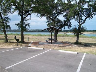
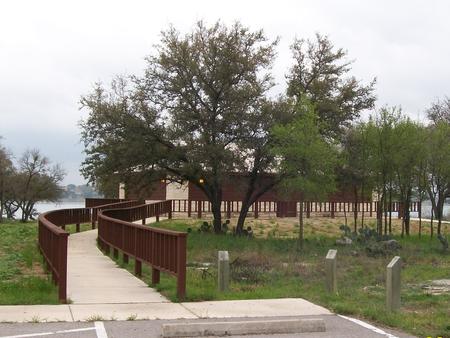
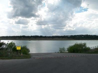
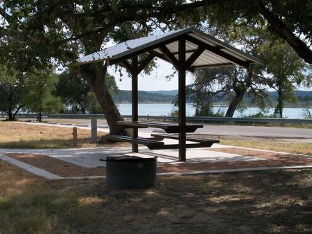
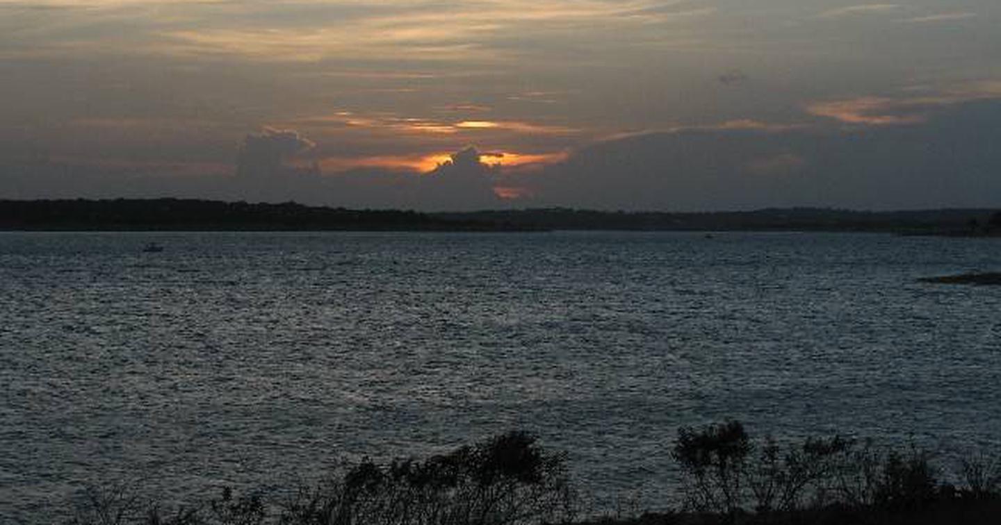
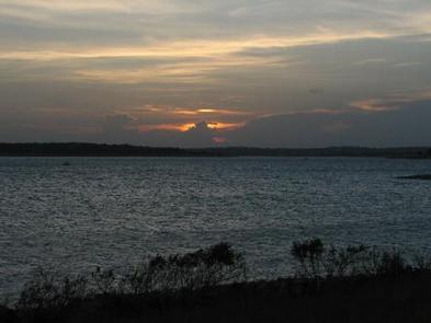
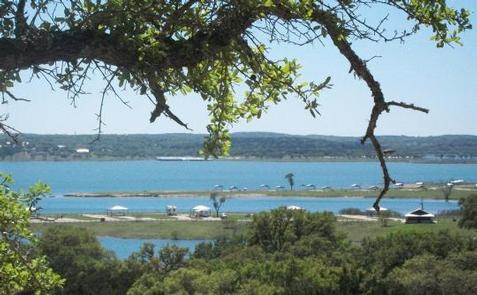
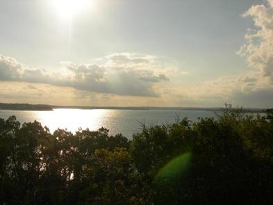
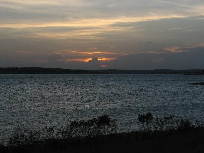
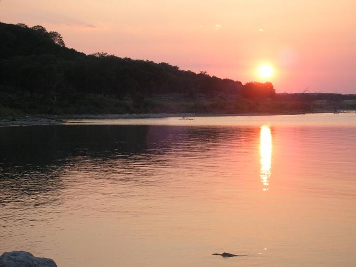
Cranes Mill Park is located on a long peninsula on the southwestern shore of Canyon Lake in Texas Hill Country, halfway between Austin and San Antonio. Dramatic sunrises to the east of the park across Canyon Lake and sunsets on the western side of the park behind the Guadalupe River make this an unforgettable location.

Recreation

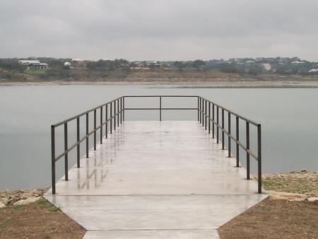
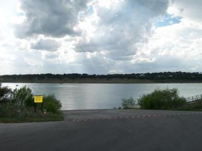
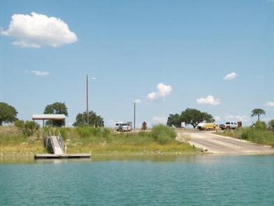
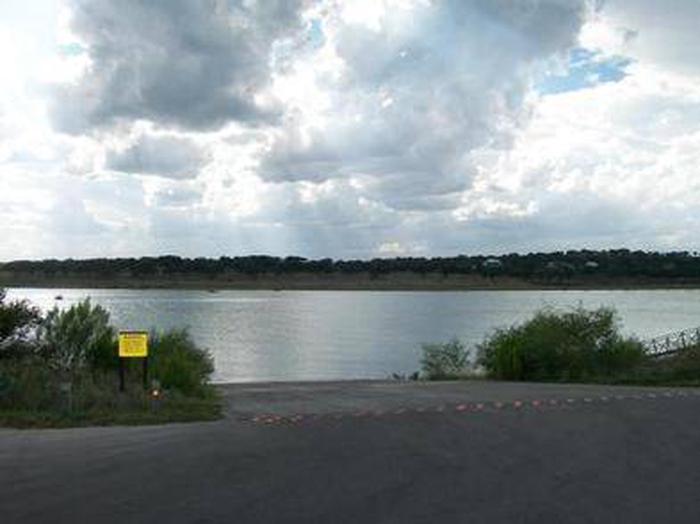
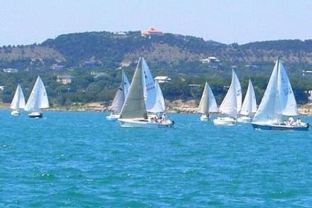
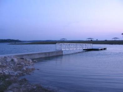
Cranes Mill Park offers a ramp for boating and two fishing piers. The Canyon Lake area has many options for recreation including: helicopter tours, boating, kayaking, canoeing, jet-skiing, dining, hiking, biking, fishing, camping, waterskiing, parasailing, horseback riding, guided gorge tours , river tubing, and much more.
Anglers are welcome to try their hand at trout fishing in the Guadalupe River between the dam and New Braunfels.

Facilities

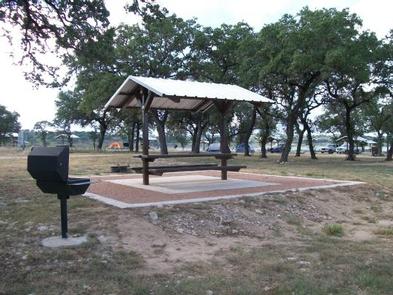
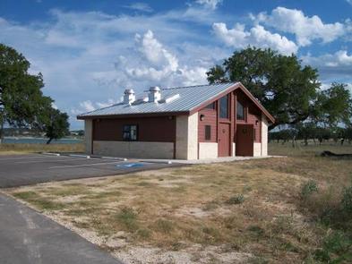
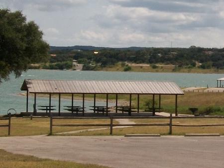
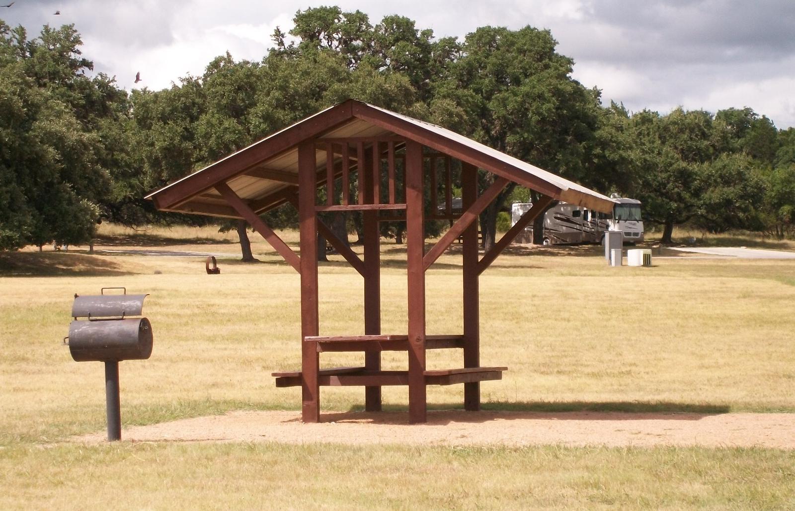
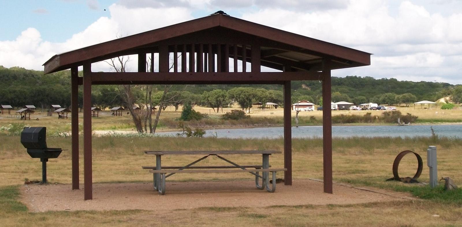
Cranes Mill Park hosts 30 RV sites, 34 tent sites, water and electrical at most sites, a dump station, restrooms with hot and cold showers, boat ramp in the park with restroom facilities, two fishing piers, adjacent marina and many undeveloped acres of land where the wildlife is abundant.

Natural Features

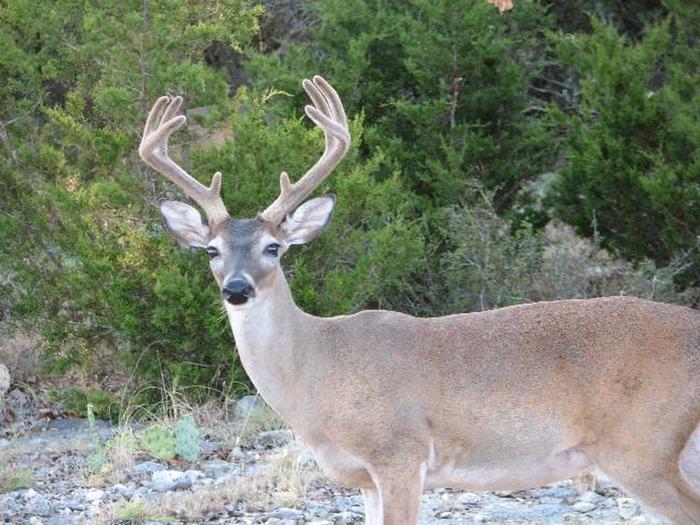
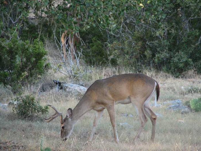
The Guadalupe River flows into Canyon Lake on the west side of Cranes Mill Park creating tranquil, warm summer evenings as the sun rests across the horizon. The peninsula is home to wildlife including deer, squirrel, fox, armadillo, raccoon, Cardinals, dove, Mockingbirds, finch and swallow.

Nearby Attractions

Some of the local attractions include: Historic Downtown Gruene Texas, Natural Bridge Caverns, Wonder World in San Marcos, Comal River, Guadalupe River, San Marcos River, Lake Dunlap, Lake McQueeny, historic downtown New Braunfels, San Antonio River Walk, Six Flags, Sea World and many others.

Charges & Cancellations

The reservation system has the right to charge fees for cancellation of a reservation, or for changes to a reservation. Changes include shortening a stay, extending a stay, or site transfers.

Nearby Activities

  • Boating
  • Camping

Gallery

Directions

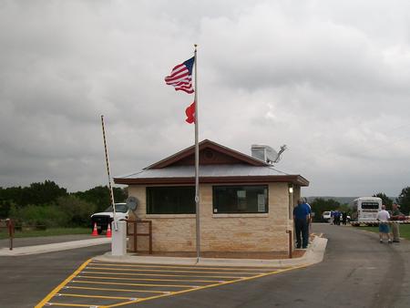
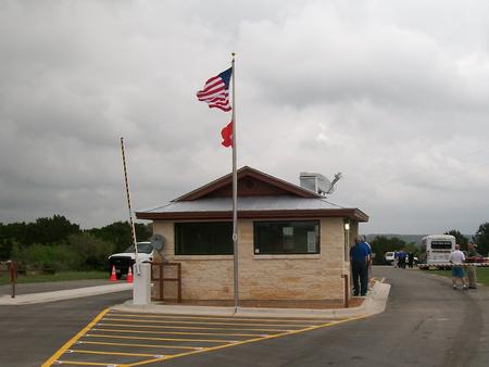
From IH 35 take Exit 191 north of New Braunfels, Texas. FM 306 is exit 191. Drive west on FM 306 for about 14 miles. Turn left on FM 2673 at the red light just after the first Guadalupe River crossing. Cranes Mill Park is located at the westernmost end of FM 2673 and South Cranes Mill Road. Drive until FM 2673 goes down to a two lane road going through a neighborhood. Continue through the neighborhood. You will go down a steep incline and be at a Y in the road. Go left on at the Y and you have entered the park. The gate house is at the far end of the road past the marina.

GPS Coordinates

Latitude 29° 53′ 20.0000″ N

Longitude 98° 17′ 34.0001″ W

Categories
Uncategorized

POTTERS CREEK PARK

Overview

Potters Creek Park is situated on the northern shore of Canyon Lake in the rolling hill country of South Central Texas. Cool breezes off the lake create a pleasant environment for relaxing in this scenic area. The lake and Guadalupe River also provide great opportunities for boating, fishing and swimming.

Recreation

Visitors enjoy coming to Canyon Lake for boating, swimming and fishing. The Guadalupe River is a great location for canoeing, kayaking and tubing. Both the lake and river are stocked with a variety of fish for each habitat including various bass, catfish, or river trout.

Hiking, biking, horseback riding, birding, and wildlife viewing are popular activities in the surrounding hills. Five trails are available at different locations around the lake. There is a mountain biking trail, a horse trail, and several foot trails. You can not rent any items from the park, but must bring your own gear for all recreational activities.

Facilities

The park is open year-round and offers RV and tent sites as well as overnight screened shelters, and a group site, all with electric and water hookups. Every site has a picnic table, fire ring, and grill, water and electricity. Park Amenities include flush toilets, showers, drinking water, and two dump stations. The park also has two boat ramps with docks, a fishing pier and beach. Rangers patrol the park and hosts are on-site year-round.

Natural Features

The park is settled among Juniper and native Oaks on gently sloping terrain on the shore of Canyon Lake. Thick oak and juniper surround the upper campsites; sites closer to the waterfront are in full sun. Grassy fields of native hill country plants and wildflowers dot the landscape. Rocky outcroppings are scattered throughout the park.

Nearby Attractions

Canyon Lake is near many sites of interest including Natural Bridge Caverns and the historic town of Gruene in New Braunfels.

Charges & Cancellations

The reservation system has the right to charge you fees for shortening or extending your stay, or cancelling a reservation.

Nearby Activities

  • Camping
  • Fishing
  • Hiking
  • Wildlife viewing
  • Swimming
  • Educational programs

Gallery

Directions

From IH-35 take FM-306 West 23 miles to Potter’s Creek Road. Go south 2 miles to park entrance.

From Highway 281, take FM-306 east 8 miles to Potter’s Creek Road. Go south for 2 miles to park entrance.

GPS Coordinates

Latitude 29° 54′ 16.9999″ N

Longitude 98° 16′ 23.0002″ W

Categories
Uncategorized

Mustang – Bear Creek Campground

This recreation area is part of Benbrook Lake

Nearby Activities

  • Boating
  • Camping
  • Water sports

Directions

GPS Coordinates

Latitude 32° 36′ 15.0718″ N

Longitude 97° 29′ 40.9934″ W

Categories
Uncategorized

Mustang – Mustang Point Multiuse Area

This recreation area is part of Benbrook Lake

Directions

GPS Coordinates

Latitude 32° 38′ 53.0174″ N

Longitude 97° 26′ 39.6064″ W

Categories
Uncategorized

Rocky Creek

This recreation area is part of Benbrook Lake

Directions

GPS Coordinates

Latitude 32° 36′ 18.7728″ N

Longitude 97° 27′ 28.9991″ W

Categories
Uncategorized

ROCKY CREEK PARK (BENBROOK LAKE)

Overview

Rocky Creek Park is on the east side of Benbrook Lake in north central Texas, accessible form Granbury Road or McPherson Road. Picnicking, camping, hiking & horseback trails, boat launch, and fishing are available.

Recreation

Picnicking, fishing, boating, hiking and birding are all available in the Rocky Creek Park Primitive, seasonal camping may be available.

Facilities

Drinking water, vault tolets, and boat launching ramps are available in both the picnic areas and campground.. There are several miles of hiking & horseback trail accessible from Rocky Creek Park. The primitive campground offers tent & RV sites but without utility hookups.

Natural Features

The park is on the east side of wooded Rocky Creek. The main picnic area lies on an open peninsula below wooded hillsides. The wooded campground is up the creek.

Nearby Attractions

Fort Worth’s renowned Cultural & Museum District, Stockyards National Historic District, Botanical Gardens, Zoo, Bass Performance Hall, and downtown Sundance Square are all only as hort drive.

Nearby Activities

  • Boating
  • Camping
  • Fishing
  • Hiking
  • Picnicking
  • Wildlife viewing
  • Day use area

Gallery

Directions

From the intersection of Granbury Road / Summer Creek Drive and Sycamore School Road / Columbus Trail, go west and southwest 1.5 miles (2.6 km) to the intersection of Granbury Road, McPherson Road and St. Francis VIllage Road. Proceed on Rocky Creek Park Road 1 mile (1.6 km) to the park entrance. Or from the Chisholm Trail Parkway, exit for McPherson Road and go west to Rocky Creek Park Road.

GPS Coordinates

Latitude 32° 36′ 22.0000″ N

Longitude 97° 27′ 7.9999″ W
Categories
Uncategorized

NORTH HOLIDAY PARK

Overview

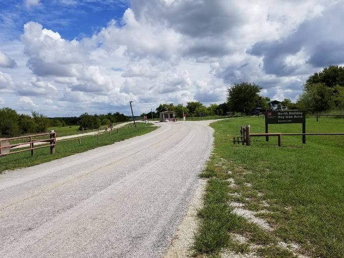
Holiday Park dayuse area (North Holiday Park) is on the west side of Benbrook Lake in north central Texas, accessible from US Hwy 377. Picnicking, hiking & horeseback trails, boat launch, swimming, fishing, & wildlife viewsing are available.

Recreation

The Holiday Park dayuse area offers picnicking, boat launching, swimming, fishing, and several miles of open, shallow shoreline. Prevailing winds attract windsurfers. The lake record for largemouth bass is over thirteen pounds. Other catches include carp, crappie, sunfish, channel & flathead catfish.

Facilities

This day-use park provides a designated swimming beach, vault toilets, and boat ramps, along with a children’s play structure near the swim beach. A marina is nearby on the lake.

Natural Features

Holiday Park dayuse area has wooded creek bottoms to upland prairie, with shallow shorelines and rocky slopes.

Nearby Attractions

City lease areas offer golf courses, a marina, ball fields, tennis & volleyball courts, stables & horse rentals, children’s play areas, and other facilities.

Fort Worth renowned Cultural & Museum district, Stockyard National Historic District, Botanical Gardens, Zoo, Bass Performance Hall, and downtown Sundance Square, are all only a short drive.

Nearby Activities

  • Boating
  • Fishing
  • Hiking
  • Horseback riding
  • Picnicking
  • Wildlife viewing
  • Swimming

Gallery

Directions

From Interstate 20, take Exit 429A for U.S. Highway 377 and go south approximately 3 miles (4.8 km) to Stevens Road. Turn left or east on Stevens and go 1/3 of a mile (.5 km) to Lakeview Road and then turn left or north and go another 0.5 miles (0.8 km) to the park enterance.

GPS Coordinates

Latitude 32° 39′ 7.9999″ N

Longitude 97° 28′ 26.0000″ W

Categories
Uncategorized

BEAR CREEK

Overview

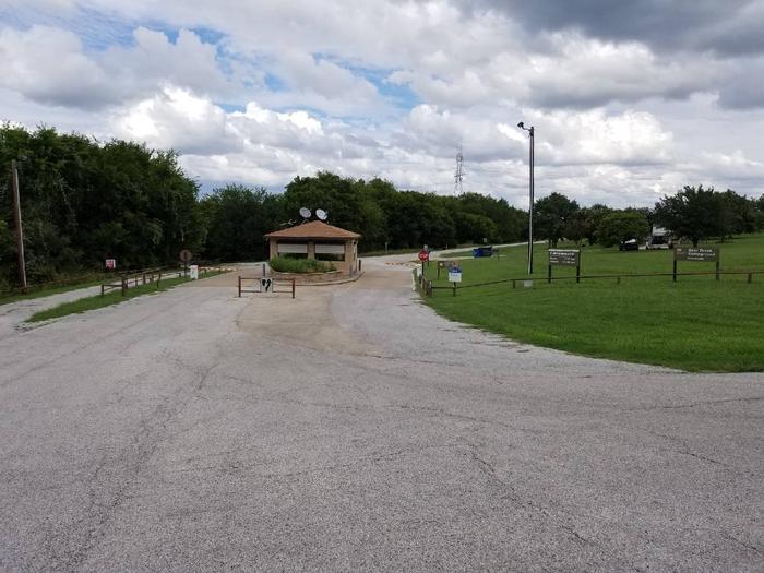
Bear Creek Campground is on the south side of Benbrook Lake in north central Texas, accessible from Ben Day Murrin Road. Individual & group camping, along with boat launching, is available.

Recreation

Both individual & group camping are available in Bear Creek, April thru September, along with boat launching and wildlife viewing. Deer, hawks, owls, roadrunners and woodpeckers can be spotted around the lake.

Facilities

Bear Creek has individual campsites with utility hookups, a large group camping pavilion, restrooms with showers, trailer dump station, and boat launching.

Natural Features

Bear Creek campground lies along the east side Bear Creek on the south side of the lake, with wooded hillsides and prairie above the lake.

Nearby Attractions

Fort Worth’s renowned Cultural & Museum District, Stockyards National Historic District, Botanical Gardens, Zoo, Bass Performance Hall, and downtown Sundance Square, are all only a short drive from the park. The campground closes at 10:00 p.m. so plan ahead.

Nearby Activities

  • Boating
  • Camping
  • Fishing
  • Wildlife viewing

Gallery

Directions

From Interstate 20 or 820 in southwest Fort Worth, take exit 429A for Highway 377 toward Granbury and go south 5.7 miles (9.2 km); turn left or southeast onto FM Road 1187 and continue for 1.4 miles (2.2 km), then turn left or east onto Ben Day-Murrin Road and continue another 1.6 miles (2.7 km) to the campground entrance.

GPS Coordinates

Latitude 32° 35′ 58.9999″ N

Longitude 97° 30′ 0.0000″ W

Categories
Uncategorized

MUSTANG

Overview

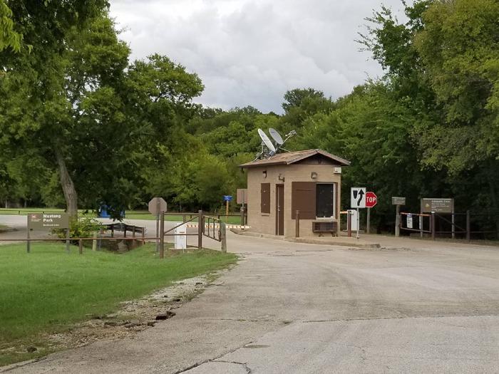
Mustang Park is a spacious tent campground and dayuse area on the south side of Benbrook Lake in north-central Texas, accessible from WInscott Plover Road. Camping, picnicking, fishing, boat launching, and wildlife viewing are available.

Recreation

Mustang is a unique camping experience at Benbrook, where campers are not restricted to designated table sites or roadways – you may set up and camp anywhere in the park you like, even right on the shoreline. The adjacent swimming beach is popular, as is fishing along the shoreline of Mustang Point.

Facilities

Mustang Park offers open camping, along with a large group pavilion with utilities for overnight use, as well as restrooms with showers, and a trailer dump station. There is also a children’s play structure near the swimming beach.

Natural Features

Mustang Park is on the west side of Mustang Creek on the south side of the Lake, with wooded creek bottoms and gently sloping shorelines.

Nearby Attractions

Fort Worth’s renowned Cultural & Museum District, Stockyards National Historic District, Botanical Gardens, Zoo, Bass Performance Hall, and downtown Sundance Square, are all only a short drive. The campground closes at 10:00 p.m. so plan ahead..

Nearby Activities

  • Boating
  • Camping
  • Fishing
  • Picnicking
  • Swimming site

Gallery

Directions

From FM 1187 Crowley Plover Road, turn north on Winscott Plover Road for a mile (0.6 km) to the park entrance.

GPS Coordinates

Latitude 32° 35′ 34.0001″ N

Longitude 97° 28′ 48.0000″ W

Categories
Uncategorized

LONGHORN

Overview

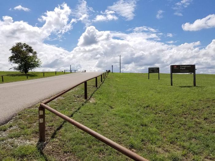
Longhorn Park Picnic Area overlooks Benbrook Lake & Dam in north-central Texas, easiley accessible from the Chisholm Trail Parkway and southwest Fort Worth. Along with a scenic overlook, a large group pavilion is available as well as picnicking, fishing and boat launching.

Recreation

The large group pavilion is popular for family and group activitries. Individual picnic sites and boat launching is also available in the park. The nearby spillway cut for the dam is a popular fossil-hunting locaiotn where visitors can search rof Cretaceous clams and coral remnants form 85 million yeats ago.

Facilities

The large picnic shelter can accommodate up to 100 guests, with restrooms and available parking. A volleyball court and horseshoe pit offer aditonal recreation opportunities.

Natural Features

Longhorn Park is on the high rocky bluffs of the Clear Fork, overlooking the southeast end of the dam.

Nearby Attractions

City lease areas on the lake’s north end offer golf courses, ball fields, tennis & volleyball courts, children’s play areas, trail access and other facilities. Fort Worth’s renowned Cultural & Museum District, Stockyards National Historic District, Botanical Gardens, Zoo, Bass Performance Hall, and downtown Sundance Square, are all only a short drive.

Nearby Activities

  • Boating
  • Fishing
  • Picnicking

Gallery

Directions

From Interstate 20 or 820, take exit 432A for Bryant Irvin Road, and go 3 miles (1.8 km) south to the intersection with Dirks Road / Altabesa Boulevard. Turn right or west and go 1 mile (1.2 km) to the park and Lake Office which will be on the left.

GPS Coordinates

Latitude 32° 39′ 1.3298″ N

Longitude 97° 26′ 47.0000″ W