Categories
Uncategorized

OAK (Navarro Mills Lake)

Overview

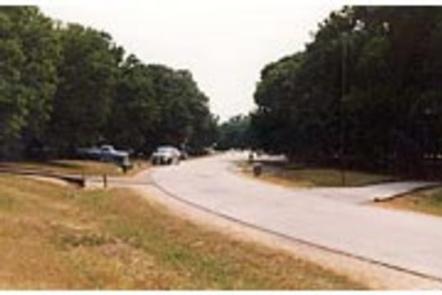
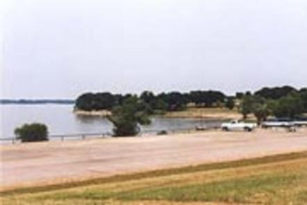
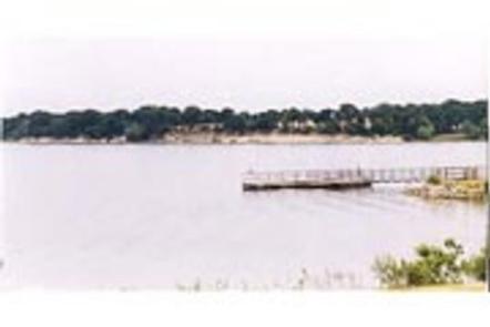
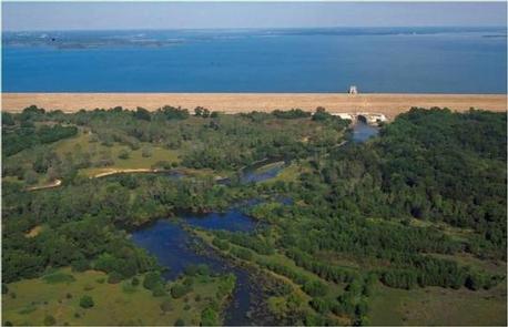
Oak Park is located on the northeastern shore of Navarro Mills Lake in central Texas.

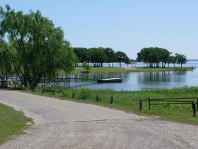
Visitors can enjoy a view of the lake from the facility and participate in popular outdoor actives like camping, boating, fishing and picnicking. The lake area provides the perfect setting to get away from it all, especially for city-dwellers from the nearby Dallas-Fort Worth metro area.

Recreation

Birding is a favorite year-round pastime for lake guests. Many species of songbirds, hawks, great blue herons, ducks, geese, other shorebirds and even an occasional bald eagle visit the area.

Fishing is also popular at Navarro Mills, and the lake holds the current state record for white crappie. Fishermen come from near and far to sample some of the best crappie fishing anywhere.

There are also healthy populations of channel and yellow catfish, and hefty hybrid stripers are often caught below the dam when water is being released. Liberty Hill has a fishing pier, and there is a full-service marina at the lake.

Facilities

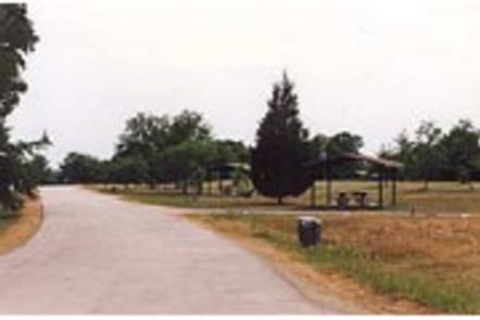
This facility has 48 campsites, all of which have electric and water hookups, as well as one group campsite that can accommodate up to 125 people.

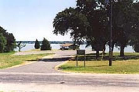
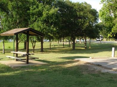
A boat ramp, swim beach, playground, fishing pier and group shelter are located in the park. Oak Park swim beach is for registered campers only, Oak Park Day Use is a separate park available for day use visitors.

Life Jacket Loaner Station located at gatehouse.

Natural Features

Most of the campsites are shady, and Oak Park is also a favorite viewing area for wildflowers. The brilliant array of native flowers draws visitors from all over to the lake area during the spring. Bluebonnets, paintbrushes and a myriad of other native plants transform the often-bleak winter landscape into an incredible palette of colors.

A wide variety of habitat provides a home and abundant food supply to diverse wildlife. Visitors might stumble across squirrels, rabbits, coyotes, foxes, bobcats, white-tailed deer, raccoon or armadillo.

Nearby Activities

  • Boating
  • Camping
  • Fishing
  • Swimming site

Gallery

Directions

From Waco or Corsicana, Texas, take State Highway 31 to the intersection with FM 667. Turn north on FM 667 and travel about 1.5 miles to the park entrance on the left side of the road.

GPS Coordinates

Latitude 31° 57′ 55.1002″ N

Longitude 96° 41′ 25.0699″ W

Categories
Uncategorized

LIBERTY HILL (Navarro Mills Lake)

Overview

Liberty Hill Park is located on the southern shore of Navarro Mills Lake in central Texas.

Visitors can enjoy a view of the lake from the facility and participate in popular outdoor actives like camping, boating, fishing and picnicking. The lake area provides the perfect setting to get away from it all, especially for city-dwellers from the nearby Dallas-Fort Worth metro area.

Recreation

Birdwatching is a favorite year-round pastime for lake guests. Many species of songbirds, hawks, great blue herons, ducks, geese, other shorebirds and even an occasional bald eagle visit the area.

Fishing is also popular at Navarro Mills, and the lake holds the current state record for white crappie. Fishermen come from near and far to sample some of the best crappie fishing anywhere. 2 multi-lane boat ramps, a fishing pier, and marina are available within Liberty Hill Park.

There are also healthy populations of channel and yellow catfish, and hefty hybrid stripers are often caught below the dam when water is being released.

Swimming is available at the designated swim beach from April 1- September 30 for day users and year round for registered campers. No lifeguard on duty and swimming is at your own risk. Life Jackets are available to borrow from the gatehouse.

Facilities

Liberty Hill has just over 100 campsites, most of which have electric and water hookups and several have sewer hookups. Five sites have screened in shelters that include sinks.

A marina, two multi-lane boat ramps, fishing pier, swim beach, playground, group shelter and dump stations are provided within the facility.

Natural Features

Liberty Hill is also a favorite viewing area for wildflowers. The brilliant array of native flowers draws visitors from all over to the lake area during the spring. Bluebonnets, paintbrushes and a myriad of other native plants transform the often-bleak winter landscape into an incredible palette of colors.

A wide variety of habitat provides a home and abundant food supply to diverse wildlife. Visitors might stumble across squirrels, rabbits, coyotes, foxes, bobcats, white-tailed deer, raccoon or armadillo.

Nearby Activities

  • Boating
  • Camping
  • Fishing
  • Wildlife viewing
  • Swimming site

Gallery

Directions

From Waco or Corsicana, Texas, take State Highway 31 to Dawson, turn north onto FM 709 and travel about 4 miles to the park entrance. Please note that if you are coming from the direction of Waco, you will pass FM 709 before you get to Dawson. Do not turn at the first intersection with FM 709; instead proceed into Dawson and turn left at the second intersection with FM 709.

GPS Coordinates

Latitude 31° 56′ 46.1501″ N

Longitude 96° 43′ 0.1600″ W

Categories
Uncategorized

Willow Grove

This recreation area is part of Lewisville Lake

Directions

GPS Coordinates

Latitude 33° 7′ 51.9743″ N

Longitude 97° 0′ 53.4846″ W

Categories
Uncategorized

Hidden Cove Park

This recreation area is part of Lewisville Lake

Directions

GPS Coordinates

Latitude 33° 7′ 49.8072″ N

Longitude 96° 56′ 26.6327″ W

Categories
Uncategorized

Stewarts Creek

This recreation area is part of Lewisville Lake

Directions

GPS Coordinates

Latitude 33° 5′ 4.0272″ N

Longitude 96° 55′ 8.3820″ W

Categories
Uncategorized

Pilot Knoll

This recreation area is part of Lewisville Lake

Directions

GPS Coordinates

Latitude 33° 6′ 11.1730″ N

Longitude 97° 4′ 16.4141″ W

Categories
Uncategorized

Lewisville Lake Park

This recreation area is part of Lewisville Lake

Directions

GPS Coordinates

Latitude 33° 4′ 20.4195″ N

Longitude 97° 0′ 2.3273″ W

Categories
Uncategorized

WESTLAKE DAY USE

Overview

Westlake features four group shelters on Lewisville Lake, where visitors can spend a day picnicking or boating on the almost 30,000-acre reservoir, just outside the Dallas/Fort Worth area.

The lake rests above an archeological site where prehistoric remains have been found. It is believed these early humans inhabited the area as far back as 12,000 B.C., making this one of the oldest human-inhabited sites in the Southwest United States and Mexico.

Recreation

The lake hosts a number of fishing tournaments each year, drawing anglers from all over to try for trophy-sized bass.

Warm water temperatures offer ideal conditions for water sports including boating and jet skiing.

Facilities

Each of the open-sided pavilions come with a large grill and water, and are all within walking distance to a restroom.

Blackjack Oak is lakeside with large shade trees. This pavilion seats 50-75 people and has electric hookups.(CLOSED)

Bur Oak seats 100-150 people and has its own parking lot.

Cottonwood is close to the shoreline, has electric hookups and seats 100-150 people.

Green Ash sits in a large, open field and offers electric hookups. It seats 75-100 people.

Natural Features

The day-use area sits on the western banks of Lewisville Lake. The lake stems from the Elm Fork of the Trinity River in northern Texas and generally has low visibility, but plenty of surface acres for boating and fishing.

Nearby Attractions

Horseback riding and golfing can be found nearby. The active city of Dallas is about 40 minutes away.

Nearby Activities

  • Camping
  • Fishing
  • Swimming site

Gallery

Directions

From Dallas, go north on I-35E and take the Swisher Exit (exit 458). Cross over I-35 onto North Denton Drive. Stay on Denton Drive until the Main Street stop sign. Turn left and stay on Main St. until it enters into the park. (2000 Main St., Hickory Creek TX)

GPS Coordinates

Latitude 33° 6′ 20.0002″ N

Longitude 97° 0′ 0.0000″ W

Categories
Uncategorized

HICKORY CREEK

Overview

Hickory Creek sits on the extremely popular Lewisville Lake near Dallas, Texas. The almost 30,000-acre reservoir attracts a fair amount of visitors in summer months with warm water temperatures and excellent fishing opportunities.

Recreation

Visitors at Lewisville Lake enjoy picnicking, swimming, boating, fishing and relaxing. Photographers will stay entertained with wildlife and colorful sunsets, while hikers and bikers like to explore the 50 miles of natural surface and paved trails surrounding the lake.

Facilities

The large campground boasts 121 sites with electric hookups. Tent primitive walk-in sites are not available at this time. Park amenities include hot showers, a dump station, and boat ramp.

Natural Features

The lake stems from the Elm Fork of the Trinity River in northern Texas, and offers little visibility, but plenty of room for boating and watercraft.

The park sits on the Hickory Creek Arm of Lewisville Lake, very near to the suburbs of Dallas, Texas.

Nearby Attractions

Several public golf courses are located around the lake, and horseback riding opportunities are available, too. Hickory Creek is just 35 miles away from downtown Dallas.

Nearby Activities

  • Boating
  • Camping
  • Fishing
  • Hiking
  • Day use area

Gallery

Directions

Due to construction on the I-35E bridge, the directions to the campground have changed if approaching from the north. Take I-35E south to Exit 460 – Meadow Oaks Rd/ Corinth Parkway. Stay on the I-35E access road heading south, go through the red light at Swisher Rd. Turn right onto Ventana Rd, go to the stop sign and turn left onto Point Vista Road. The campground is 1201 Point Vista Road, Hickory Creek, TX 75065.

GPS Coordinates

Latitude 33° 6′ 14.0000″ N

Longitude 97° 2′ 35.9999″ W

Categories
Uncategorized

Collin Park

This recreation area is part of Lavon Lake

Directions

GPS Coordinates

Latitude 33° 2′ 43.2020″ N

Longitude 96° 31′ 53.5755″ W