Categories
Uncategorized

SAN AUGUSTINE

Overview

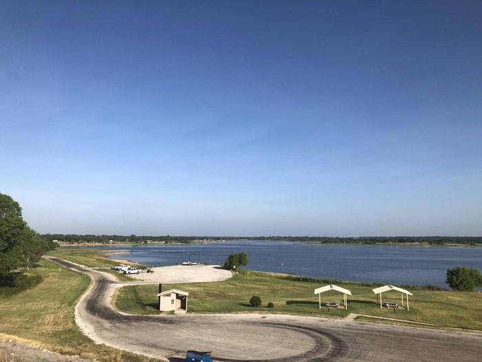
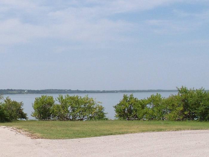
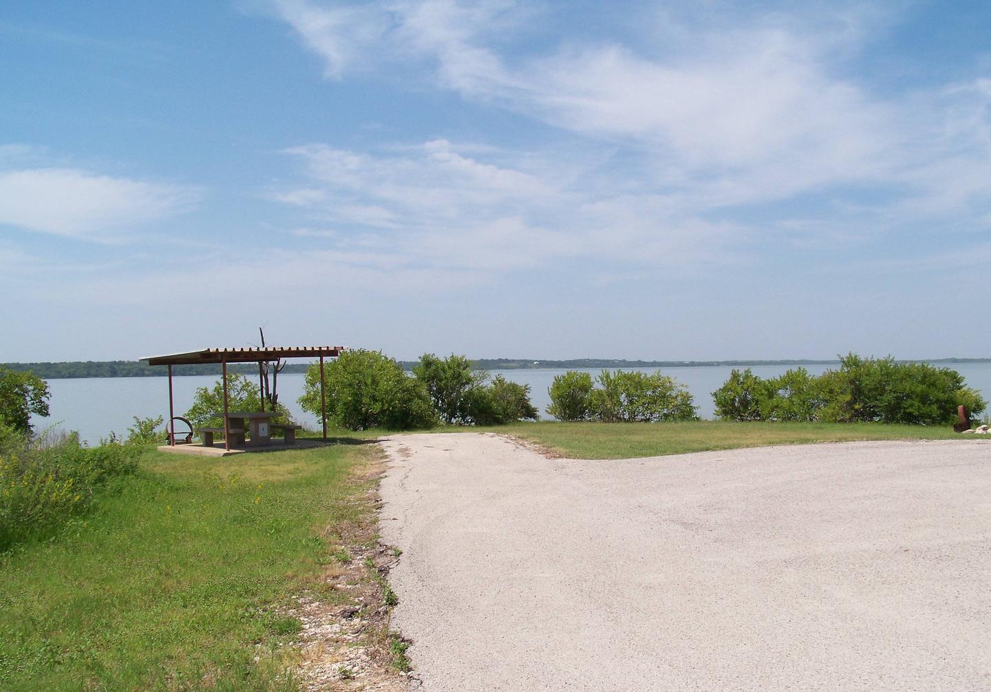
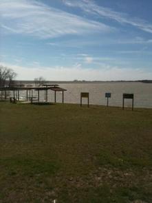
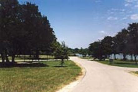
San Augustine Park is set along the Ayish Bayou tributary on the shores of Sam Rayburn Reservoir.

In spring, take advantage of excellent birding opportunities as neotropical birds like warblers and vireos pass through the lake en route to the Gulf of Mexico.

Recreation

The lake is a highly popular destination for boating and fishing. Game fish include largemouth bass, bluegill and channel catfish, but it is the abundance of bass, which inspires more than 500 annual tournaments.

Facilities

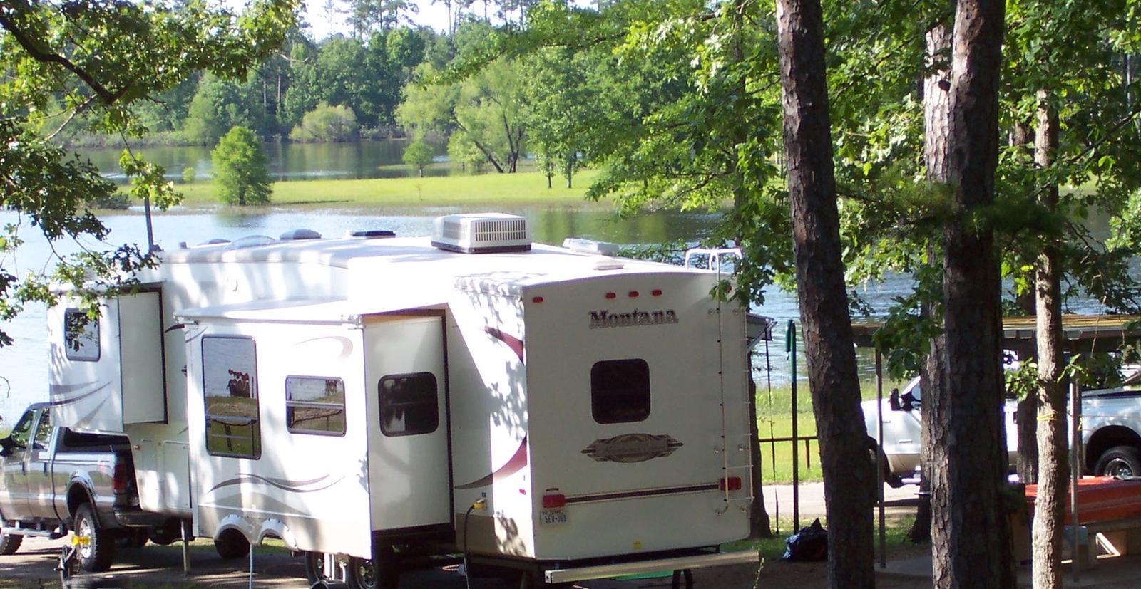
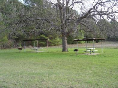
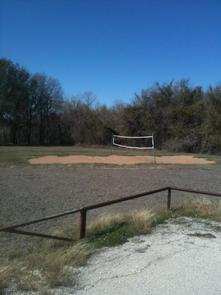
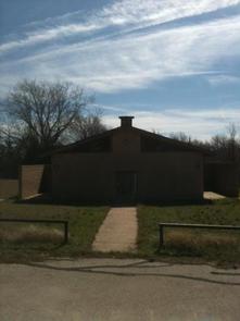
San Augustine features 100 sites with electric and water hook-ups. Among the many amenities are a group shelter, swimming beach, volleyball, boat ramp and an interpretive trail.

Natural Features

With more than 114,000 surface acres, Sam Rayburn is the largest man-made lake that is completely within the boundaries of the state of Texas. The reservoir is fed by the Angelina River, a major tributary of the Neches River.

The piney woods region boasts native flora like orchids, insect-eating plants and scores of animal species.

Nearby Attractions

From the eastern edge of the lake, hikers can embark on a 28-mile trail that heads east to the Toledo Bend Reservoir.

Nearby Activities

  • Boating
  • Camping
  • Fishing
  • Hunting
  • Swimming site

Gallery

Directions

From Pineland, TX, take FM 83 west 6 miles, then south on FM 1751 for
4 miles to the park entrance.

GPS Coordinates

Latitude 31° 11′ 57.0001″ N

Longitude 94° 4′ 44.0000″ W

Categories
Uncategorized

RAYBURN

Overview

Rayburn Park lies on the north shore of Sam Rayburn Reservoir, a popular family destination with boating and fishing and access to hunting less than a mile away.

Sam Rayburn Reservoir and the surrounding Angelina National Forest provide a wintering habitat for the bald eagle. During the winter months, forest visitors may see the bald eagle soaring over the lake, perched on a flooded snag or in a tall pine along the shoreline.

Recreation

Sam Rayburn Reservoir is well-known for its largemouth bass, with numerous tournaments hosted here each year. Among the most impressive catches ever recorded is a 74-pound Flathead catfish.

The lake is also popular for jet skiing, water skiing, swimming and birding. It’s used as a feeding and resting grounds for migratory birds on their path to the Gulf Coast. A resident population of wood ducks remains in the forest year-round.

Facilities

The park is open year-round and features 46 campsites with water and electric hookups ranging from 30 to 50 amps. A boat launch and playground are also available.

Natural Features

At 114,000 surface acres, Sam Rayburn is the largest man-made lake that is completely within the boundaries of Texas. The reservoir is fed by the Angelina River, a major tributary of the Neches River.

The piney woods region boasts native flora like orchids, insect-eating plants and scores of animal species.

Nearby Attractions

From the eastern edge of the lake, hikers can embark on a 28-mile trail that heads east to the Toledo Bend Reservoir.

Nearby Activities

  • Boating
  • Camping
  • Fishing
  • Hiking
  • Hunting

Gallery

Directions

From Pineland, TX, take FM 83 west 10 miles, then go south on FM 705
for 11 miles to FM 3127, then west for 1.5 miles and make a left into
the park entrance.

GPS Coordinates

Latitude 31° 6′ 24.0001″ N

Longitude 94° 6′ 25.9999″ W

Categories
Uncategorized

MILL CREEK (TEXAS)

Overview

Mill Creek Park is a large, comfortable campground on the Sam Rayburn Reservoir, also known as Lake Sam Rayburn, tucked in the piney woods of southeast Texas.
The lake and the surrounding Angelina National Forest, provide a welcoming home for bald eagles in winter. The rare red-cockaded woodpecker also resides in the forest here.

Recreation

Fishing at the reservoir is wildly popular, with frequent fishing tournaments. Catches include largemouth bass, crappie and catfish.

Birding is also big, with chances to see warblers, vireos and other migratory songbirds. A resident population of wood ducks remains in the forest throughout the year.

Facilities

The park features 110 campsites with water and electric hookups. There’s also a group shelter, boat ramp, designated swimming beach, a playground, and volleyball court for family entertainment.

Natural Features

The campground is on the southeast shores of Sam Rayburn Reservoir. The lake boasts over 114,000 surface acres, making it the largest man-made lake that’s completely located in Texas.

Nearby Attractions

From the eastern edge of the lake, hikers can embark on a 28-mile trail that heads east to the Toledo Bend Reservoir.

Nearby Activities

  • Boating
  • Camping
  • Fishing
  • Hiking
  • Hunting
  • Wildlife viewing
  • Swimming site

Gallery

Directions

From Jasper, TX take US 96 N 18 mi to Brookeland, TX, then Loop 149 for 2
miles to the intersection w/Spur 165. Go west 1 mile to the park entrance.

GPS Coordinates

Latitude 31° 9′ 5.0000″ N

Longitude 94° 0′ 23.0000″ W

Categories
Uncategorized

HANKS CREEK

Overview

Hanks Creek Park has something for everyone, with plenty of water sports on Sam Rayburn Reservoir and volleyball, mountain biking, wild life viewing and birding for those who want to stay on shore.

The Red-cockaded woodpecker, an endangered species, is found throughout the forest surrounding the reservoir. The bird makes its home by pecking cavities in large, living pine trees.

Recreation

Fishing is excellent for largemouth bass, crappie, catfish and sunfish, with frequent fishing tournaments. The lake is also popular for jet skiing, water skiing and swimming.

Facilities

The park features 47 campsites with electric hookups. Additional amenities include group camping, a playground, boat ramp and hot showers.

Natural Features

Sam Rayburn Reservoir, also called Lake Sam Rayburn, boasts over 114,000 surface acres, making it the largest man-made lake completely in Texas. It’s surrounded by the Angelina National Forest, and is within short proximity to the Sabine and Davy Crockett National Forests.

Nearby Attractions

The 20,700-acre Bannister Wildlife Management Area is on the northern peninsula of the lake. Hikers and bikers can come here to explore the designated Eastern Wild Turkey restoration site.

Nearby Activities

  • Biking
  • Boating
  • Camping
  • Fishing
  • Hunting
  • Swimming site

Gallery

Directions

From Zavalla, TX, take State Hwy 147 northeast for 1/4 mile, then turn
north on FM 2109, go 8 miles to FM 2801. Turn right (east) on FM 2801 and go 2
miles to the park entrance. Follow signs into the campground.

GPS Coordinates

Latitude 31° 16′ 18.9998″ N

Longitude 94° 24′ 11.0002″ W

Categories
Uncategorized

SOWELL CREEK

Overview

Sowell Creek Park is nestled within the beautiful Cross Timbers Region of Texas and located on the east side of Proctor Lake. Sowell Creek appeals to sportsmen, birdwatchers, naturalists or those simply wanting to relax in the outdoors.

Recreation

Sowell Creek offers families and friends with an excellent venue to enjoy the outdoors. The park offers overnight camping as well as two day-use areas for picnicing and several swim beaches for folks to soak up the sun and enjoy the beautiful lake water.

Fishing is Proctor Lake’s main attraction: anglers enjoy the lake’s tremendous populations of Bass, Crappie, and Catfish. The lake is also recognized as one of the best Hybrid Striped Bass fishing areas in the state. Sowell Creek offers two boat ramps that provides guests with easy access to the lake. Also, two fishing docks are located within the park to provide guests with further fishing opportunities.

High Point Park, located a few miles from Sowell Creek on FM 1496 (31.999944, -98.470486), offers more than 10 miles of hiking and equestrian trails.

Facilities

Sowell Creek offers 61 campsites and one group site during the summer (April – September); and 30 campsites during the winter (October – March). Campsites are equipped with electric hookups ranging from 50 amp, 30 amp, and 20 amp; water hookups; sewer hookups; and a covered picnic table. Amenities include flush and pit toilets, showers, drinking water and a dump station thus creating a comfortable camping environment for visitors.

Natural Features

Large, open grassy areas; Black Willow; and Buttonbush characterize the park:. Shade is sparse, but lake views are plentiful.

Nearby Attractions

The nearby town of Comanche, Texas offers historical attractions, antique stores. museums, events and more.

Nearby Activities

  • Boating
  • Camping
  • Fishing
  • Hiking
  • Swimming site

Gallery

Directions

From Comanche, Texas, take Highway 67/377 east for 12 miles to the town of Proctor. Turn left on FM 1476 west and continue 2 miles to Recreation Road 6. Turn left and continue for 1/2 mile to the park entrance.

GPS Coordinates

Latitude 31° 59′ 24.0000″ N

Longitude 98° 27′ 36.0000″ W

Categories
Uncategorized

PROMONTORY

Overview

Promontory Campground sits along Proctor Lake in the Cross Timbers Region of Texas. The area appeals to sportsmen, birders, naturalists or those simply wanting to relax in the outdoors.

Recreation

Fishing is Proctor Lake’s main draw; anglers enjoy the lake’s tremendous populations of bass, shad and crappie. The lake is also recognized as one of the best hybrid striped bass lakes in the state.

Boating and swimming are popular activities on the water as well, and boat ramps and docks provide easy lake access for visitors.

The surrounding wildlife areas at Proctor Lake provide ample hunting opportunities for game like duck, dove, hog and other small game animals.

High Point Park, located just 2 miles from the campground, offers more than 10 miles of of hiking and equestrian trails.

Facilities

This campground offers a variety of campsites, some with screened shelters, some with electrical hookups and some primitive sites for tent camping.

Natural Features

Large grassy areas dotted with black willow trees and buttonbush characterize the campground. Shade is sparse, but lake views are plentiful.

Nearby Attractions

The nearby town of Comanche, Texas, offers historical attractions, antique stores. museums, events and more.

Nearby Activities

  • Boating
  • Camping
  • Fishing
  • Hiking
  • Hunting

Gallery

Directions

From Comanche, Texas, HWY 16 north for 12 miles to the town of Downing. Turn right on FM 2318 and continue for five miles to the park entrance.

GPS Coordinates

Latitude 31° 58′ 48.0000″ N

Longitude 98° 29′ 24.0000″ W

Categories
Uncategorized

COPPERAS CREEK

Overview

 Copperas Creek Park is nestled within the beautiful Cross Timbers Region of Texas and located on the southwestern side of Proctor Lake. Copperas Creek appeals to sportsmen, birdwatchers, naturalists or those simply wanting to relax in the outdoors.

Recreation

Copperas Creek offers families and friends with an excellent venue to enjoy the outdoors. The park offers overnight camping as well as a day-use area for picnicing and several swim beaches for folks to soak up the sun and enjoy the beautiful lake water.

Fishing is Proctor Lake’s main attraction: anglers enjoy the lake’s tremendous populations of Bass, Crappie, and Catfish. The lake is also recognized as one of the best Hybrid Striped
Bass fishing areas in the state.

Copperas Creek offers three boat ramps that provides guests with easy access to the lake. Also, two fishing docks are located within the park and one fishing platform located in deep water and immediately in front of the Proctor Lake dam.

High Point Park, located adjacent to Sowell Creek Park on FM 1496 (31.999944, -98.470486), offers more than 10 miles of of hiking and equestrian trails.

Facilities

Copperas Creek provides 67 campsites and two group shelters during the summer (April – September); and 30 campsites and one group shelter during the winter (October – March). Campsites are equipped with electric hookups ranging from 50 amp, 30 amp, and 20 amp; water hookups; sewer; and a covered picnic table. Amenities include flush and pit toilets, showers, drinking water and a dump station thus creating a comfortable camping environment for visitors.

Natural Features

Large, open grassy areas; Cottonwoods; Black Willow; and Cypress trees characterize the campground: Some campsites have shade and the lake views are plentiful.

Nearby Attractions

The surrounding towns of Comanche, De Leon, and Dublin offers historical attractions, antique stores. museums, events and more.

Nearby Activities

  • Boating
  • Camping
  • Fishing
  • Hiking
  • Hunting

Gallery

Directions

From Comanche, Texas, take HWY 67/377 northeast for 5 miles, then turn left on FM 2861. Follow for 2.5 miles to the park entrance. Park entrance is on the North side of FM 2861.

GPS Coordinates

Latitude 31° 58′ 0.0001″ N

Longitude 98° 30′ 15.0001″ W

Categories
Uncategorized

PECAN POINT PARK (Navarro Mills Lake)

Overview

Pecan Point Park is located on the northern shore of Navarro Mills Lake in central Texas.

Visitors can enjoy a view of the lake from the facility and participate in popular outdoor actives like camping, boating, fishing and picnicking. The lake area provides the perfect setting to get away from it all, especially for city-dwellers from the nearby Dallas-Fort Worth metro area.

Recreation

Birding is a favorite year-round pastime for lake guests. Many species of songbirds, hawks, great blue herons, ducks, geese, other shorebirds and even an occasional bald eagle visit the area.

Fishing is also popular at Navarro Mills, and the lake holds the current state record for white crappie. Fishermen come from near and far to sample some of the best crappie fishing anywhere.

There are also healthy populations of channel and yellow catfish, and hefty hybrid stripers are often caught below the dam when water is being released. Liberty Hill has a fishing pier, and there is a full-service marina at the lake.

Facilities

There are 35 campsites, and five offer electric and water hookups.

A variety of amenities are provided, such as a high water boat launch ramp, flush toilets, picnic tables, grills, drinking water and trash collection.

Natural Features

Most of the campsites have some shade, and Pecan Point is also a favorite viewing area for wildflowers. The brilliant array of native flowers draws visitors from all over to the lake area during the spring. Bluebonnets, paintbrushes and a myriad of other native plants transform the often-bleak winter landscape into an incredible palette of colors.

A wide variety of habitat provides a home and abundant food supply to diverse wildlife. Visitors might stumble across squirrels, rabbits, coyotes, foxes, bobcats, white-tailed deer, raccoon or armadillo.

Nearby Activities

  • Biking
  • Boating
  • Camping
  • Fishing
  • Picnicking
  • Water sports

Gallery

Directions

From Corsicana and Waco, Texas, travel on State Highway 31 toward the lake. Turn north onto FM 667 and continue for 5 miles. Turn west onto FM 744 and go about 3 miles to the intersection with FM 1578. Turn south and drive about 2 miles to CR 3360. Turn right and drive into the park entrance.

GPS Coordinates

Latitude 31° 57′ 57.9100″ N

Longitude 96° 44′ 29.4500″ W

Categories
Uncategorized

OAK PARK DAY USE

Overview

Oak Park is located on the northeastern shore of Navarro Mills Lake in central Texas.
Oak Park Day Use area is open from April through September with picnic tables, restrooms, and a swimming beach.
Visitors can enjoy a view of the lake from the facility and participate in popular outdoor actives like swimming and picnicking. The lake area provides the perfect setting to get away from it all, especially for city-dwellers from the nearby Dallas-Fort Worth metro area.The brilliant array of native flowers draws visitors from all over to the lake area during the spring. Bluebonnets, paintbrushes and a myriad of other native plants transform the often-bleak winter landscape into an incredible palette of colors.

Recreation

Oak Park offers day use swimming and picnic tables from 10:00am- Sunset, April 1- September 30.

Natural Features

A wide variety of habitat provides a home and abundant food supply to diverse wildlife. Visitors might stumble across squirrels, rabbits, coyotes, foxes, bobcars, white-tailed deer, raccoon or armadillo. Birding is a favorite year- round pastime for lake guests. Many species of songbirds, hawks, great blue heron, ducks, geese, other shorebirds and even an occasional bald eagle visit the area.

Nearby Activities

  • Swimming

Gallery

Directions

From Waco or Corsicana, Texas, take State Highway 31 to the intersection with FM 667. Turn north on FM 667 and travel about 1.5 miles to the park entrance on the left side of the road.

GPS Coordinates

Latitude 31° 57′ 51.0001″ N

Longitude 96° 41′ 24.2300″ W

Categories
Uncategorized

WOLF CREEK (Navarro Mills Lake)

Overview

Wolf Creek Park is located on the northern shore of Navarro Mills Lake in central Texas.

Visitors can enjoy a view of the lake from the facility and participate in popular outdoor actives like camping, boating, fishing and picnicking. The lake area provides the perfect setting to get away from it all, especially for city-dwellers from the nearby Dallas-Fort Worth metro area.

Recreation

Birdwatching is a favorite year-round pastime for lake guests. Many species of songbirds, hawks, great blue herons, ducks, geese, other shorebirds and even an occasional bald eagle visit the area.

Fishing is also popular at Navarro Mills, and the lake holds the current state record for white crappie. Fishermen come from near and far to sample some of the best crappie fishing anywhere.

There are also healthy populations of channel and yellow catfish, and hefty hybrid stripers are often caught below the dam when water is being released. Liberty Hill has a fishing pier, and there is a full-service marina at the lake.

Facilities

Wolf Creek Park offers 50 campsites with water and electric hookups, 22 non-electric sites, two double sites and one group site.

Public restrooms with showers, a group picnic shelter, fishing pier, dump station and a two-lane boat ramp with a courtesy dock are provided within the facility.

Natural Features

Most of the campsites are partly shaded, and Wolf Creek is also a favorite viewing area for wildflowers. The brilliant array of native flowers draws visitors from all over to the lake area during the spring. Bluebonnets, paintbrushes and a myriad of other native plants transform the often-bleak winter landscape into an incredible palette of colors.

A wide variety of habitat provides a home and abundant food supply to diverse wildlife. Visitors might stumble across squirrels, rabbits, coyotes, foxes, bobcats, white-tailed deer, raccoon or armadillo.

Nearby Activities

  • Boating
  • Camping
  • Fishing

Gallery

Directions

From Corsicana or Waco, Texas, travel on State Highway 31 toward the lake. Turn north onto FM 667 and continue about 3 miles to the intersection with FM 639. Turn west and continue about 2 miles into the park entrance.

GPS Coordinates

Latitude 31° 58′ 25.4500″ N

Longitude 96° 41′ 33.3200″ W