Categories
Uncategorized

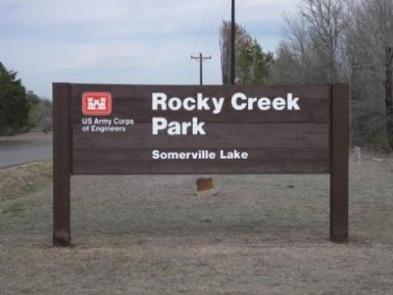
ROCKY CREEK (SOMERVILLE LAKE)

Overview

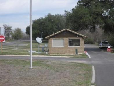
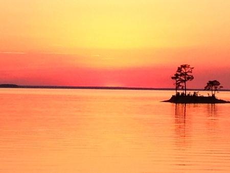
Rocky Creek Park is located at Somerville Lake near Somerville, Texas. The lake offers various types of recreation such as camping, fishing, boating, swimming, nature trails and much more.

Recreation

Somerville Lake offers many opportunities for outdoor recreation. Water sports, hiking and biking are popular activities. The lake is great for crappie, catfish, white, hybrid-striped and largemouth bass fishing, with catches weighing up to 10 or more pounds.

Facilities

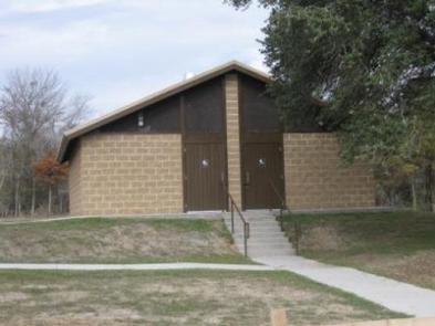
Rocky Creek Campground offers 192 sites: 30 sites have 30-amp electrical hookups, 127 sites have 50-amp hookups and 35 tent sites have 30-amp hookups. Flush toilets and showers are provided, as are picnic tables and fire rings. Two boat ramps, group picnic shelter, and dump station are located on-site.

Natural Features

The campground is situated on a peninsula on scenic Somerville Lake. Some large trees cover the grounds, offering limited shade. Pelicans and other waterfowl frequent the shoreline.

Nearby Attractions

Yegua Creek Park is nearby, offering additional access to Somerville Lake and all its great water activities.

The city of Somerville, Texas is less than 10 miles from Rocky Creek, offering restaurants and shops.

Nearby Activities

  • Boating
  • Camping
  • Fishing

Gallery

Directions

From Austin, Texas, take US 290 east to Brenham. Follow HWY 36 north 11.5 miles to FM 1948. Turn left on FM 1948 and follow 5 miles to the park entrance.

GPS Coordinates

Latitude 30° 17′ 55.0000″ N

Longitude 96° 34′ 5.0002″ W

Categories
Uncategorized

Bald Eagle Creek

This recreation area is part of O.C. Fisher Lake

Directions

GPS Coordinates

Latitude 31° 31′ 1.1421″ N

Longitude 100° 33′ 6.2534″ W

Categories
Uncategorized

Red Arroyo

This recreation area is part of O.C. Fisher Lake

Directions

GPS Coordinates

Latitude 31° 28′ 3.0288″ N

Longitude 100° 30′ 17.5428″ W

Categories
Uncategorized

Cassells Boykin

This recreation area is part of Sam Rayburn Reservoir

Directions

GPS Coordinates

Latitude 31° 17′ 39.6348″ N

Longitude 94° 18′ 49.1436″ W

Categories
Uncategorized

Shirley Creek

This recreation area is part of Sam Rayburn Reservoir

Directions

GPS Coordinates

Latitude 31° 18′ 32.2567″ N

Longitude 94° 22′ 24.4711″ W

Categories
Uncategorized

Sam Rayburn Marina Resort

This recreation area is part of Sam Rayburn Reservoir

Directions

GPS Coordinates

Latitude 31° 4′ 17.2006″ N

Longitude 94° 2′ 57.5124″ W

Categories
Uncategorized

Powell

This recreation area is part of Sam Rayburn Reservoir

Directions

GPS Coordinates

Latitude 31° 7′ 57.2520″ N

Longitude 94° 5′ 3.0960″ W

Categories
Uncategorized

Jackson Hill

This recreation area is part of Sam Rayburn Reservoir

Directions

GPS Coordinates

Latitude 31° 16′ 12.2117″ N

Longitude 94° 19′ 17.7250″ W

Categories
Uncategorized

EBENEZER PARK

Overview

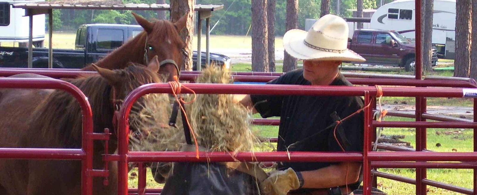
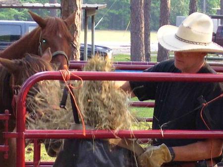
Ebenezer Park features some of the most beautiful horseback riding trails in southeast Texas. It’s the only Army Corps of Engineers park on Sam Rayburn Reservoir with equestrian campsites, making it the go-to destination for horse-owners.

The horse trail terrain is soft and sandy, so horseshoes are not required. Trails glide over rolling hills through creeks and gullies. Some trails even have beach access, allowing riders and their horses to cool off on a hot day. Note: The horse access beach and majority of the trail system are located on USFS property.

Recreation

In addition to horseback riding, activities include fishing, picnicking and swimming. Birding is also rewarding, with chances to see resident wood ducks and migratory birds on their journey to and from the Gulf Coast.

Facilities

Ebenezer caters best to equestrian campers and tent campers. Equestrian sites have electric hookups and horse corrals near each site. Ebenezer Hall, an enclosed building with a full kitchen, A/C and heating, is available for reservation.

The park does not have a boat ramp, and the nearest boat ramp is four miles down at Twin Dikes Park.

Natural Features

The campground, near the Sam Rayburn Dam, is fully shaded by towering pine trees.

The lake is located deep in the woods, bordered by the Angelina National Forest and near the Sabine National Forest.

Nearby Attractions

The 20,700-acre Bannister Wildlife Management Area is on the northern peninsula of the lake. Here, hikers and bikers can explore the designated Eastern Wild Turkey restoration site.

Nearby Activities

  • Boating
  • Camping
  • Fishing
  • Hunting
  • Water sports
  • Swimming site

Gallery

Directions

From Jasper, Texas, take US Highway 96 North approximately 12 miles to the intersection of Recreation Road 255. Go west on 255 approximately 8 miles to the park entrance road.

GPS Coordinates

Latitude 31° 4′ 13.0001″ N

Longitude 94° 7′ 28.9999″ W

Categories
Uncategorized

TWIN DIKES

Overview

Twin Dikes Park is located on the waters of the Sam Rayburn Reservoir, in the Piney Woods of southeast Texas.

The region lies in the migration path of warblers, vireos, and other species of neotropical migrants, so spring is an opportune time for birders to visit the park.

Recreation

The lake is a highly popular recreation destination for boating and fishing. Game fish include largemouth bass, bluegill and channel catfish. The abundance of bass in the lake, has inspired more than 300 annual tournaments.

Facilities

The park features 43 campsites with 30 to 50 amp electric hookups, hot showers, a group picnic shelter and boat ramp.

Natural Features

Twin Dikes is on the southern shore of Sam Rayburn Reservoir, in the Big Thicket region of Texas, the densest portion of the Piney Woods, a region characterized by temperate coniferous forests.

The 114,000-acre lake was impounded in 1965 along the Angelina River, and has an average depth of 80 feet with average clarity.

Nearby Attractions

The 20,700-acre Bannister Wildlife Management Area is on the northern peninsula of the lake. Hikers and bikers can come here to explore the designated Eastern Wild Turkey restoration site.

Nearby Activities

  • Boating
  • Camping
  • Fishing
  • Hunting

Gallery

Directions

From Jasper, TX, take US 96 north 13 miles. Go west on Recreation Rd,
(FM 255) for 5 miles to the park entrance.

GPS Coordinates

Latitude 31° 4′ 21.0000″ N

Longitude 94° 3′ 33.9998″ W