Categories
Uncategorized

AIRPORT PARK

Overview

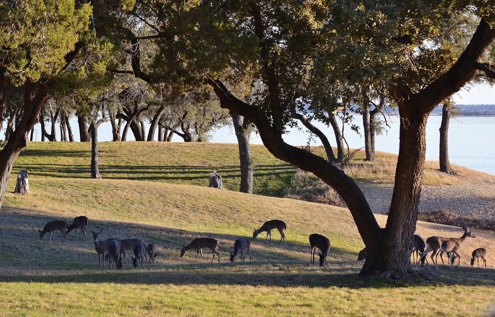
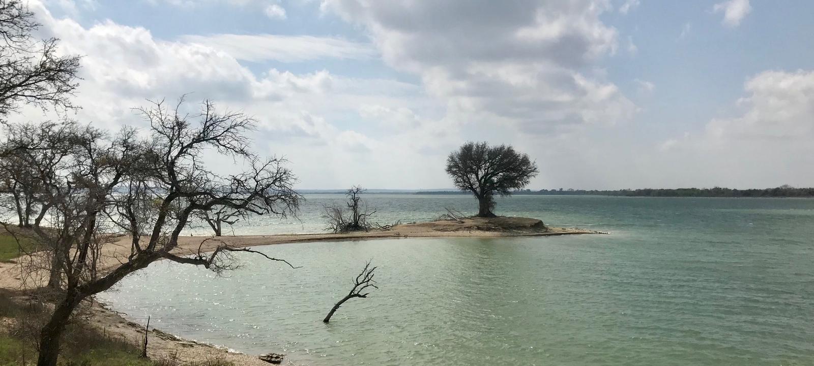
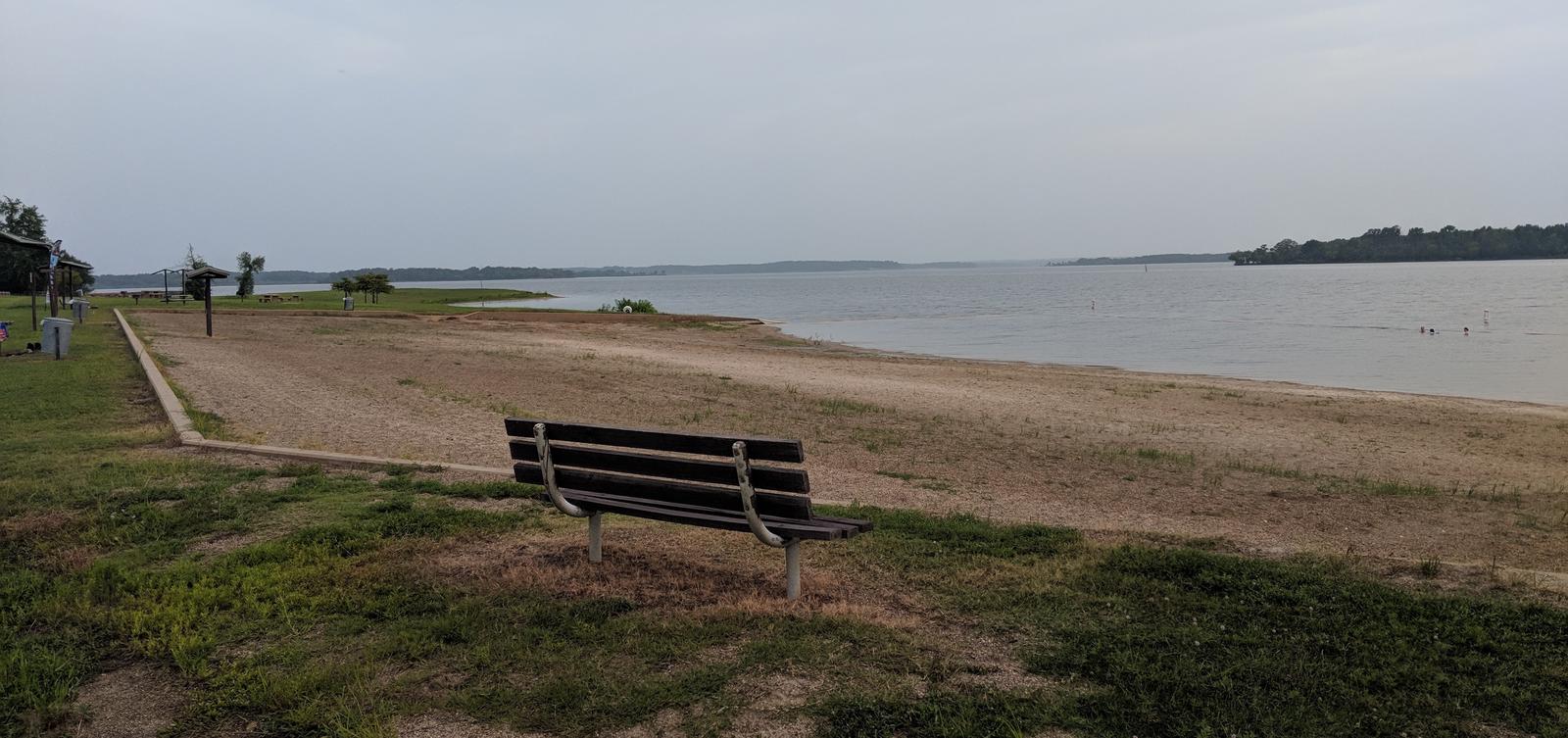
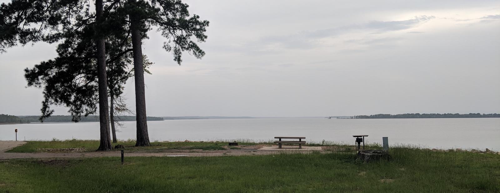
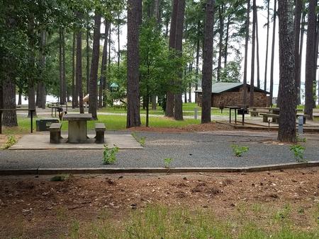
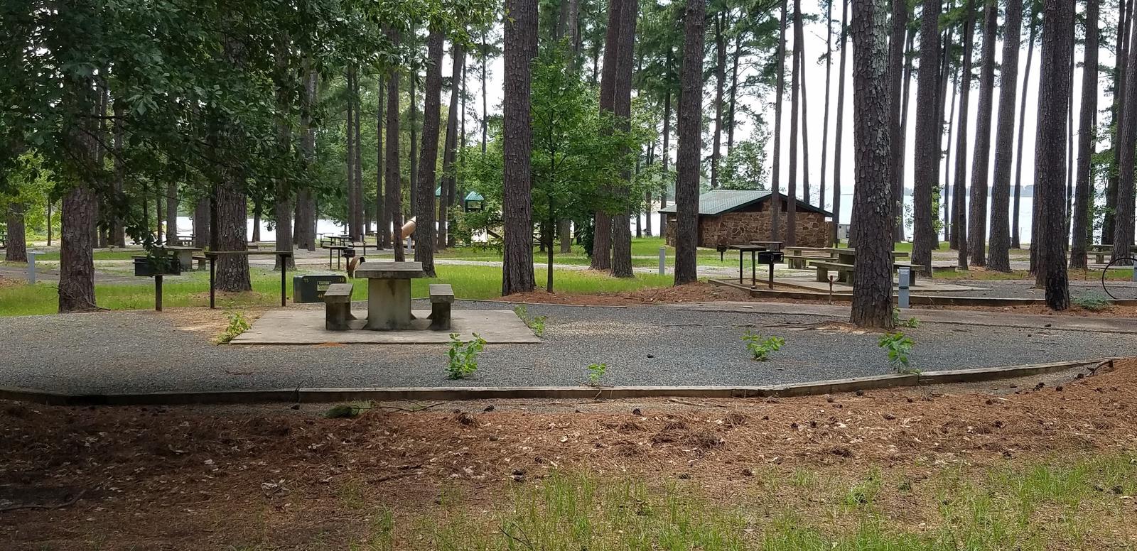
The year-round campground at Airport Park is perfectly located between Waco Lake and the Waco Airport. Campers can look south and view the pristine waters of the lake, or look north and watch airplanes take off and land.

Recreation

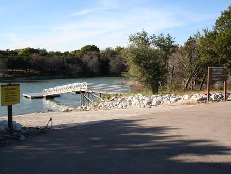
The main lake shoreline has a large amount of submerged timber, which typically holds fish year-round. Anglers will find plenty of catfish, crappie, large and smallmouth bass as well as sunfish. A boat ramp and dock help visitors enjoy the lake.

Facilities

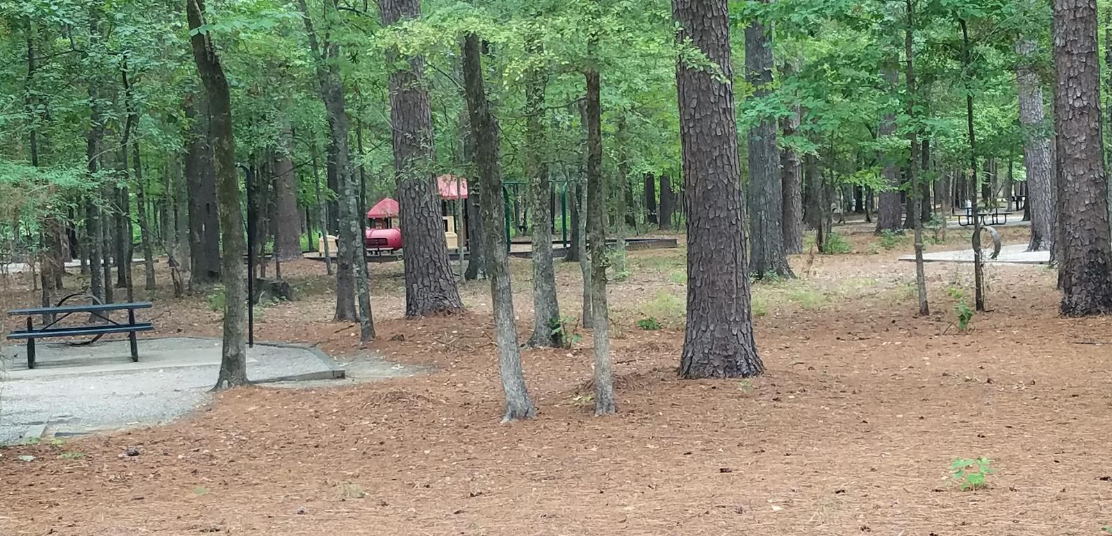
Airport Park has 46 sites with 50-amp electric and water hookups, and 22 of these also have sewer hookups. There are 8 screen shelters with electrical outlets and water. Fourteen tent-only campsites without electric are also available.

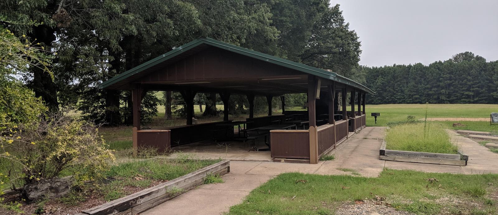
A group camping shelter is available for reservation, and comes with electric, sewer and water hookups. It is equipped with a six-foot grill, 12-foot serving bar, and pavillion with picnic tables. There are eight campsites with electric and water hookups, and six of these have sewer hookups. The group camping area fits about 80 guests.

Natural Features

Airport Park is on the northern banks of Waco Lake, near the dam. The lake is primarily fed by the Bosque River, which runs for 115 miles through central Texas.

Nearby Attractions

Airport Park is located within the City of Waco and is 10 miles from Magnolia Market. About 15 min from Airport Park, Waco Lake Wetlands offers educational tours that take visitors through a six-acre nursery of aquatic plants and more than 130 species of birds. Cameron Park Zoo is also located nearby.

Nearby Activities

  • Boating
  • Camping
  • Fishing

Gallery

Directions

From I-35, take the Lake Shore Drive exit (Exit 339) and drive west to Steinbeck Bend Road. Turn right and proceed to second stop light. At the intersection with FM 1637 (China Spring Highway) turn right. Go to next stop light (Flat Rock Road). Turn left and drive approximately 1 mile to Skeet Eason Road. Turn left and drive about 0.5 mile. Airport Park is on the first road to the right.

GPS Coordinates

Latitude 31° 36′ 36.7499″ N

Longitude 97° 14′ 11.7200″ W

Categories
Uncategorized

Cass County Park

This recreation area is part of Wright Patman Lake

Directions

GPS Coordinates

Latitude 33° 15′ 50.4383″ N

Longitude 94° 11′ 28.7815″ W

Categories
Uncategorized

Sulphur River Recreation Center

This recreation area is part of Wright Patman Lake

Directions

GPS Coordinates

Latitude 0° 0′ 0.0000″ S

Longitude 0° 0′ 0.0000″ W

Categories
Uncategorized

Atlanta State Park

This recreation area is part of Wright Patman Lake

Directions

GPS Coordinates

Latitude 33° 14′ 1.6224″ N

Longitude 94° 15′ 0.7884″ W

Categories
Uncategorized

Kelly Creek Marina

This recreation area is part of Wright Patman Lake

Directions

GPS Coordinates

Latitude 33° 17′ 27.9096″ N

Longitude 94° 15′ 6.8904″ W

Categories
Uncategorized

NORTH SHORE

Overview

North Shore Park is the largest day-use area on Wright Patman Lake, a 30,000-acre lake set amidst the piney woods of northeast Texas. With a sandy swimming beach, accessible boat ramp, reservable group picnic shelter and numerous other amenities, the park provides a fun, enjoyable day at the lake for a wide variety of visitors.

Recreation

This facility provides easy lake access for boating and fishing activities, as well as plenty of on-shore fun. Picnickers enjoy swimming and relaxing on the beach. Children have plenty of options to keep busy, including basketball and sand volleyball courts, a playground and horseshoe pit.

Anglers make use of the fishing pier and accessible boat dock and ramp in search of bass, catfish, crappie and sunfish.

Facilities

The group picnic shelter can accommodate up to 30 people. It is conveniently located next to a restroom with flush toilets and the swimming beach. There are 60 first come, first served picnic sites as well, though water and electricity are not supplied to these sites.

There are no overnight campsites available in the park but Clear Springs Campground is one mile away.

Natural Features

The park overlooks the lake and is set among a thick forest on the sandy shoreline.

The U.S. Army Corps of Engineers manages approximately 55,000 acres of public forestland around the lake, providing habitat for wild turkey, bobwhite quail, squirrel, white-tailed deer, waterfowl and migrating bald eagles, pelicans and ducks. Some poisonous snakes inhabit the area.

Nearby Attractions

The Texarkana region is full of activities such as shopping, movies, restaurants and local historical sites. Shreveport, Louisiana offers river boat gambling, horse races and numerous festivals, including the Four State Fair and Rodeo and the Jump, Jive and Jam Festival.

Nearby Activities

  • Boating
  • Interpretive programs
  • Fishing
  • Water sports
  • Swimming site
  • Swimming

Gallery

Directions

Physical Address for North Shore Park:

Corps Road 13-A

Texarkana, TX 75501

From Texarkana, take U.S. Highway 59 south approximately 10 miles. Turn right on Farm-to-Market (FM) Road 2148 and travel approximately 1.5 miles to the Wright Patman Lake sign. Turn left and follow park signs to the entrance.

GPS Coordinates

Latitude 33° 21′ 28.0001″ N

Longitude 94° 10′ 44.0000″ W

Categories
Uncategorized

OAK PARK (WRIGHT PATMAN LAKE)

Overview

Oak Park is a day use area located just below the dam on Wright Patman Lake in northeastern Texas. Its picnic shelter and ball fields make it a great location for larger groups and special events.

Recreation

This facility is a relaxing and spacious location for group gatherings and picnics. Wright Patman Lake hosts a wide range of recreational activities to allow visitors to get outdoors and enjoy the area, including boating, fishing, hunting, hiking, picnicking and wildlife viewing.

Several boating, fishing and swimming facilities can be accessed in nearby parks around the lake. Anglers enjoy fishing for bass, catfish, crappie and sunfish.

A model airplane flying field is located next to the park.

Facilities

Oak Park offers one group day-use picnic shelter with water and electric hookups. Several family picnic sites are available on a first come, first served basis. A swing set, sand volleyball court and baseball diamond are located next to the shelter. No swim beach is available in the park.

Natural Features

Oak Park is named for its large oak trees that create a peaceful, nostalgic setting and shade for picnickers. Though it is not directly on the waterfront, the shelter is a short walk or drive from the scenic shoreline.

The U.S. Army Corps of Engineers manages approximately 55,000 acres of public forestland around the lake, providing habitat for wild turkey, bobwhite quail, squirrel, white-tailed deer, migrating bald eagles, pelicans and ducks and other waterfowl. Some poisonous snakes inhabit the area.

Nearby Attractions

The Texarkana region is full of activities such as shopping, movies, restaurants and local historical sites. Shreveport, Louisiana offers river boat gambling, horse races and numerous festivals, including the Four State Fair and Rodeo and the Jump, Jive and Jam Festival.

Nearby Activities

  • Boating
  • Fishing
  • Picnicking
  • Wildlife viewing
  • Day use area
  • Softball fields

Gallery

Directions

From Texarkana, take U.S. Highway 59 south for approximately 12 miles. Turn right at the sign for Wright Patman Lake. Follow the park road to the dam; turn left and proceed to the next intersection. Turn left again, and follow the road to the park.

GPS Coordinates

Latitude 33° 19′ 18.9998″ N

Longitude 94° 9′ 40.0000″ W

Categories
Uncategorized

MALDEN LAKE CAMPGROUND

Overview

Malden Lake Campground is situated on the shore of 30,000-acre Wright Patman Lake within the piney woods of northeast Texas. This facility offers year-round enjoyment of outdoor activities like fishing, hunting and wildlife viewing.

Recreation

Wright Patman Lake hosts a wide range of recreational activities, including camping, swimming, boating, fishing, hunting, hiking, picnicking and wildlife viewing. Boaters flock to the lake, and anglers try their luck for bass, catfish, crappie and sunfish.

Malden Lake Park has a trail system behind the campsites in the H Loop, which is great for walking and enjoying the the park.

Facilities

Malden Lake Campground offers 39 campsites, all with water and electricity. Ten of the sites have 50-amp electric service, and all sites contain a picnic table, grill, utility table, lantern post and trash can. RV campers have the convenience of a dump station. The park also has a boat ramp and courtesy dock.

Natural Features

The campground overlooks the lake and is set among a thick pine forest that provides plenty of shade.

The U.S. Army Corps of Engineers manages approximately 55,000 acres of public forestland around the lake, providing habitat for wild turkey, bobwhite quail, squirrel, white-tailed deer, waterfowl and migrating bald eagles, pelicans and ducks. Some poisonous snakes inhabit the area.

Nearby Attractions

The Texarkana region is full of activities such as shopping, movies, restaurants and local historical sites. Shreveport, Louisiana offers river boat gambling, horse races and numerous festivals, including the Four State Fair and Rodeo and the Jump, Jive and Jam Festival.

contact_info

For local information, please call (903) 585-2497 or call (903) 838-8781 for general information.

Nearby Activities

  • Biking
  • Boating
  • Camping
  • Fishing
  • Hunting
  • Wildlife viewing

Gallery

Directions

Physical Address of Malden Lake Campground:

230 Malden Lake Road

Maud, TX 75567

From I-30, exit onto Highway 8 at New Boston, Texas. Take Highway 8 south through Maud. Approximately six miles south of Maud, the park road will be on the left.

GPS Coordinates

Latitude 33° 16′ 28.9999″ N

Longitude 94° 20′ 52.0001″ W

Categories
Uncategorized

ROCKY POINT(WRIGHT PATMAN DAM)

Overview

Rocky Point Park offers a campground and group day use picnic shelter use on the shore of 30,000-acre Wright Patman Lake within the piney woods of northeast Texas. This large facility offers campers a complete range of services and year-round outdoor activities like fishing, hunting and wildlife viewing.

Recreation

Rocky Point has hiking and walking trails for registered campers, including a 1.3-mile trail that connects with nearby Piney Point Campground. Children enjoy the facility’s swimming beach, playground, volleyball court and amphitheater with educational programs.

Boaters and anglers can take advantage of the accessible boat ramp. Bass, catfish, crappie and sunfish are found in the lake.

Facilities

The campground has beautiful, mostly-shaded campsites, many which are on the waterfront. All 124 campsites consist of a hard surface parking pad, water and electric hookups, a picnic table, grill, utility table and trash can. Fifteen of the sites have sewer connections; forty-one sites have 50-amp electric service.

Visitors who don’t wish to stay overnight can reserve a group picnic shelter that can accommodate up to 60 people.

Natural Features

The park is situated in a mixed hardwood-pine forest next to Wright Patman Lake. The U.S. Army Corps of Engineers manages approximately 55,000 acres of public forestland around the lake, providing habitat for wild turkey, bobwhite quail, squirrel, white-tailed deer, waterfowl and migrating bald eagles, pelicans and ducks. Some poisonous snakes inhabit the area.

Nearby Attractions

The Texarkana region is full of activities such as shopping, movies, restaurants and local historical sites. Shreveport, Louisiana offers river boat gambling, horse races and numerous festivals, including the Four State Fair and Rodeo and the Jump, Jive and Jam Festival.

Nearby Activities

  • Camping
  • Fishing
  • Hiking
  • Hunting
  • Swimming site

Gallery

Directions

Physical Address for Rocky Point Park:

865 Rocky Point Park Road

Queen City, TX 75572

From Texarkana, take Highway 59 south to Wright Patman Lake. Just south of the Sulphur River Dam, turn right into the park area, following entrance signs. Rocky Point is just south of Piney Point Park.

GPS Coordinates

Latitude 33° 17′ 12.9998″ N

Longitude 94° 9′ 56.9999″ W

Categories
Uncategorized

PINEY POINT

Overview

Piney Point Park is situated on the shore of 30,000-acre Wright Patman Lake within the piney woods of northeast Texas. This facility offers campers a complete range of services and year-round outdoor activities like fishing, hunting and wildlife viewing.

Recreation

Piney Point has plenty of open space and shade in which children can play, as well as a volleyball court and a 1.3-mile hiking trail that leads to nearby Rocky Point Campground and its swimming beach.

Other activities on the lake include boating, fishing, hunting, picnicking and wildlife viewing. Boaters can make use of the park’s boat ramp, and anglers can try their luck for bass, catfish, crappie and sunfish.

Facilities

The campground has comfortable accommodations with 45 campsites with water and electricity, as well as a group picnic shelter for day use only that can host up to 75 people. Campsites have picnic tables, grills, utility tables and trash cans. Restrooms, showers and a dump station are provided.

Natural Features

The park is located in a southern pine forest overlooking the lake. The U.S. Army Corps of Engineers manages approximately 55,000 acres of public forestland around the lake, providing habitat for wild turkey, bobwhite quail, squirrel, white-tailed deer, waterfowl and migrating bald eagles, pelicans and ducks. Some poisonous snakes inhabit the area.

Nearby Attractions

The Texarkana region is full of activities such as shopping, movies, restaurants and local historical sites. Shreveport, Louisiana offers river boat gambling, horse races and numerous festivals, including the Four State Fair and Rodeo and the Jump, Jive and Jam Festival.

Nearby Activities

  • Boating
  • Camping
  • Fishing
  • Hiking
  • Water sports

Gallery

Directions

Physical Address of Piney Point Park:

710 Piney Point Park Road

Queen City, TX 75572

From Texarkana, take Highway 59 south to Wright Patman Lake. Just south of Sulphur River Dam, turn right into the park area, following signs. Proceed one mile to the park. Piney Point is just north of Rocky Point Park.

GPS Coordinates

Latitude 33° 17′ 55.0000″ N

Longitude 94° 10′ 5.0002″ W