Categories
Uncategorized

MCCOWN VALLEY

Overview

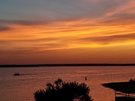
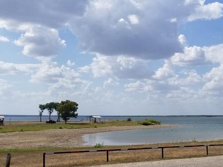
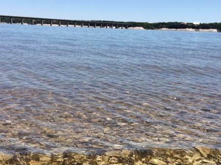
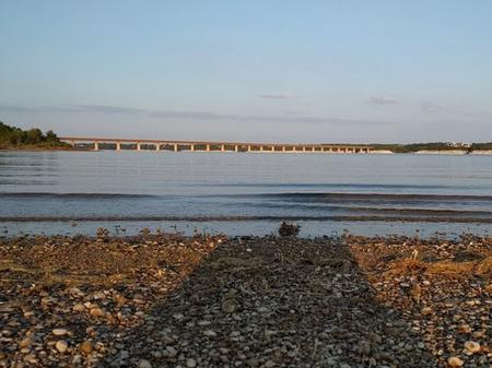
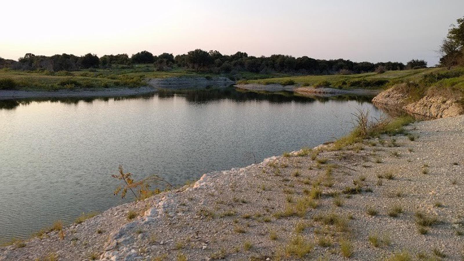
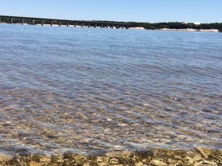
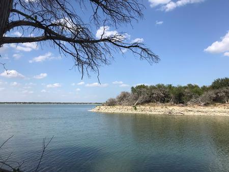
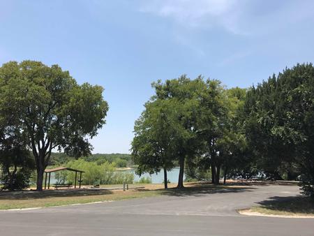
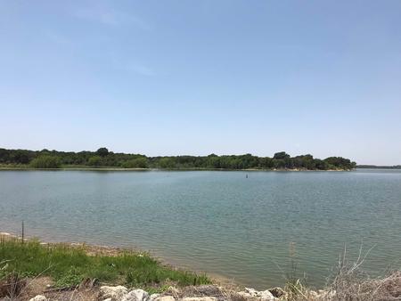
McCown Valley is located on Whitney Lake on the main channel of the Brazos River in Central Texas. Over two million people visit Whitney Lake each year to enjoy the plethora of recreational activities and scenic beauty the lake provides.

Recreation

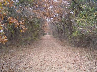
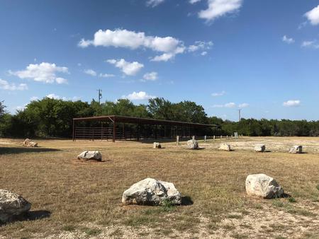
McCown Valley offers five miles of trails in its equestrian park. Visitors enjoy riding their horses through open pastures and wooded areas near the lake.

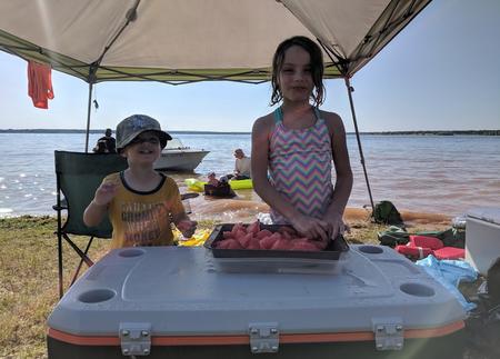
Boating, fishing, swimming, canoeing and kayaking are popular activities at Whitney Lake. Anglers can fish for a variety of bass, crappie and catfish with a state fishing license.

Facilities

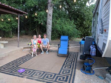
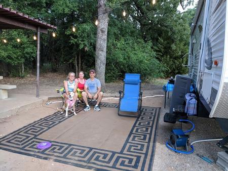
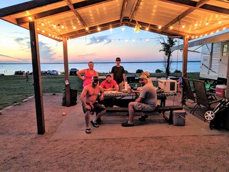
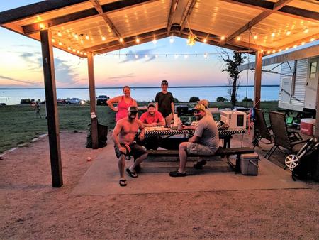
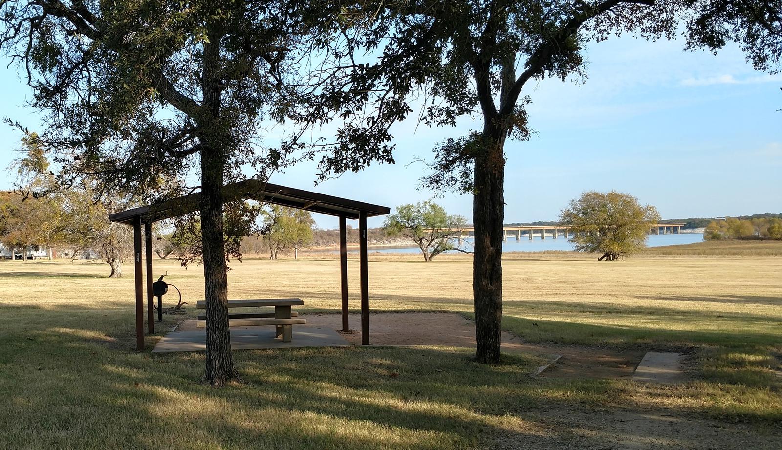
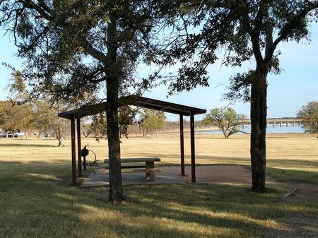
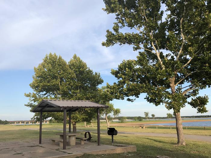
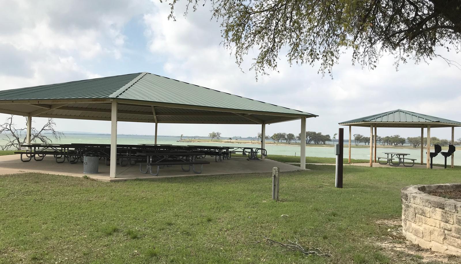
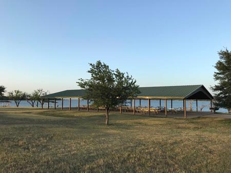
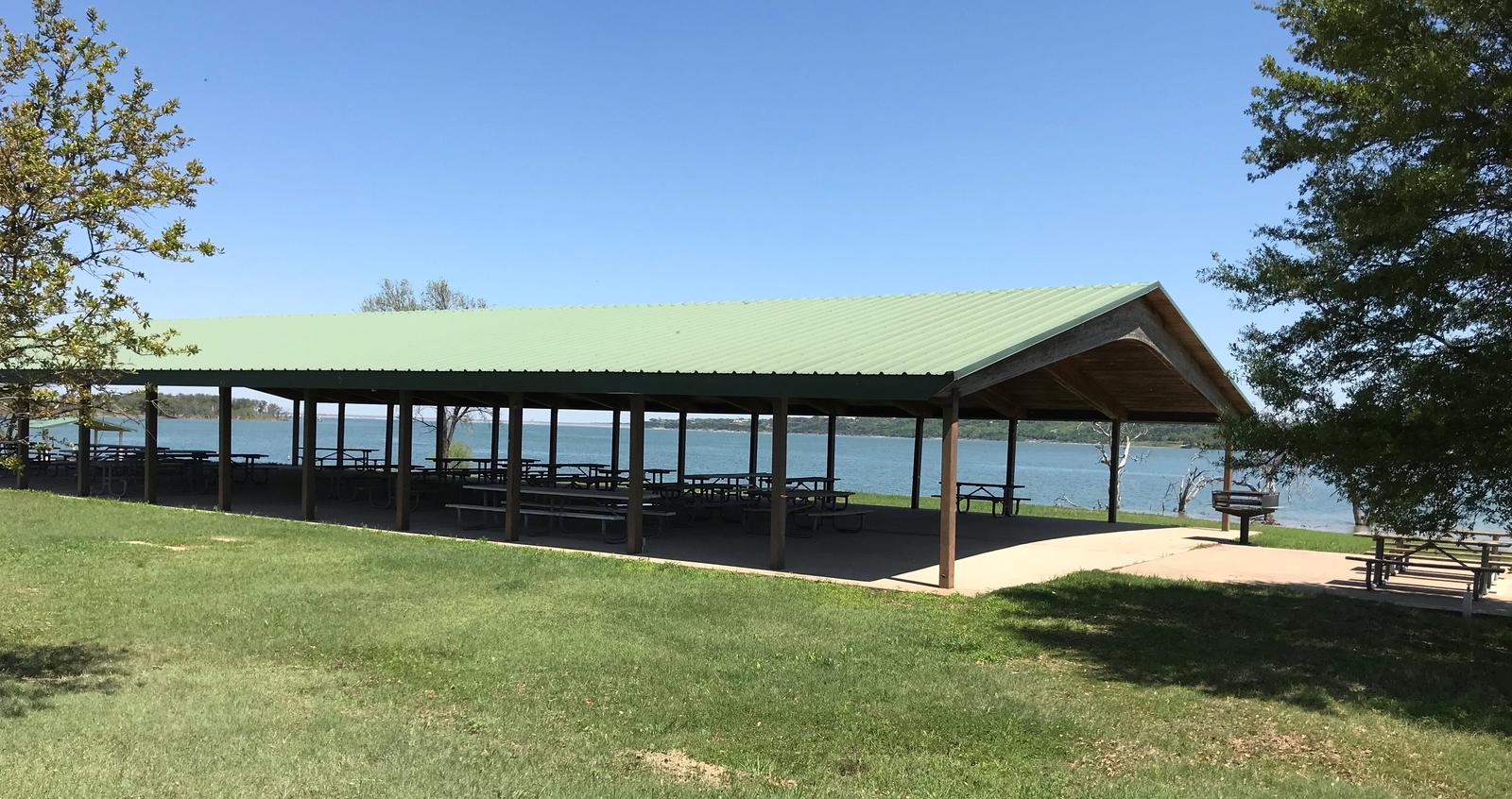
This year-round campground offers a variety of sites to suit all kinds of campers, including 39 equestrian sites, 48 family sites, five sleeping shelters, and a day-use picnic shelter, all with electric and/or water hookups. 13 primitive tent sites are also available.

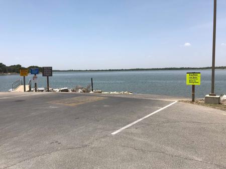
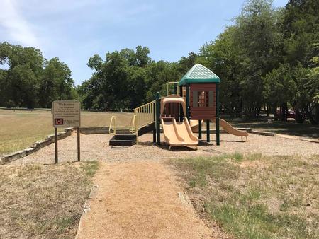
Amenities include flush and pit toilets, showers, drinking water and a dump station. A boat ramp, playground and trails are also on-site.

Natural Features

The park is situated on the lakeshore among gently rolling hills covered with cedar, Live oak and Post oak. Deer and wild turkeys roam the area.

Nearby Attractions

Nearby Activities

  • Biking
  • Camping
  • Hiking
  • Horseback riding
  • Swimming site

Gallery

Directions

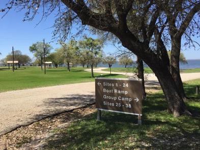
From I-35 in Hillsboro, take HWY 22 west 12 miles to Whitney, exit 933 north for 2.5 miles to FM 1713. Proceed 6 miles west, following signs into campground.

GPS Coordinates

Latitude 31° 57′ 0.0000″ N

Longitude 97° 22′ 59.0002″ W

Categories
Uncategorized

LOFERS BEND EAST

Overview

Lofers Bend East Campground is located on Whitney Lake on the Brazos River in Central Texas. This campground has 66 campsites and six of which that are “water only” sites and the remaining sites have water and 30 amp hook ups. All sites have either a stand up BBQ grill or a ground cooker/fire ring. The park is equipped with flushable toilets, showers, trailer dump station and two boat ramps.

Recreation

Boating, fishing, swimming, canoeing, and kayaking are popular activities at Whitney Lake. Anglers can fish for a variety of bass, crappie and catfish.

Facilities

This campground offers 66 family sites and one group site, all with water and electric hookups. Six non-electric sites are available as well.

Amenities include flush toilets, showers, drinking water, a dump station, boat ramp and playground.

Natural Features

The park is situated on the lakeshore among rolling hills covered with cedar, live, and post oak trees. Many deer claim this campground as their home.

Nearby Attractions

Nearby Activities

  • Boating
  • Camping
  • Swimming site

Gallery

Directions

From I-35 in Hillsboro, take Highway 22 west 12 miles to Whitney. Continue 7 miles past Whitney, turn right before dam. Follow park road to 4-way stop. Turn left to go to West Lofers or right to go to East Lofers.

GPS Coordinates

Latitude 31° 53′ 7.0001″ N

Longitude 97° 21′ 40.0000″ W
Categories
Uncategorized

CEDRON CREEK

Overview

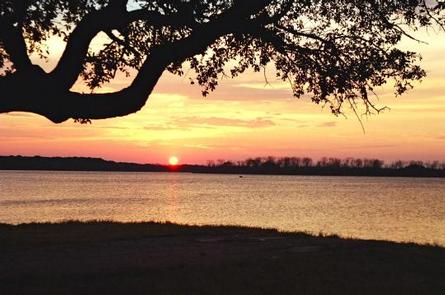
Cedron Creek Campground is located on Whitney Lake on the main channel of the Brazos River in Central Texas. The majority of campsites in Cedron Creek are 30 amp electric hook ups with water and 10 sites have water and 50 amp electric hook ups. Each site has a stand up BBQ cooker or a ground cooker/fire ring. The park also has 3 restrooms, showers, horseshoe pits, a trailer dump station, boat ramp and a playground.

Recreation

Boating, fishing, swimming, canoeing and kayaking are popular activities at Whitney Lake. Anglers can fish for a variety of bass, crappie and catfish.

Facilities

The campground offers 57 sites which all have either 30 or 50 amp electric and water. There is a group camp area located near the water and is within 100 yards of a large restroom with showers. The pavilion has a capacity of approximately 100 people and contains eight (8), eight foot tables, electricity, lights, a large (3′ X 3′) grill and eight campsites.

Natural Features

Cedron Creek is situated on the lakeshore among rolling hills covered with cedar, live and post oak.

Nearby Attractions

The 12.5 mile Hopewell Trail is nearby. It allows hiking, mountain biking, and horseback riding. Visitors can choose to travel north on the trail to Kimball Bend Park, or south to Lakeside Village and Powelldale Mountain.

Nearby Activities

  • Boating
  • Camping
  • Fishing
  • Swimming site

Gallery

Directions

From I-35 in Hillsboro, take HWY 22 west, continue 12 miles to Whitney. At Whitney, take HWY 933 north for 3 miles, turn left on FM 1713 and cross the bridge, over the lake. Cedron is the first road on the left. Follow signs into the campground.

GPS Coordinates

Latitude 31° 57′ 51.9998″ N

Longitude 97° 24′ 51.0001″ W
Categories
Uncategorized

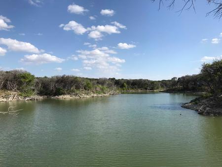
Waco Marina

This recreation area is part of Waco Lake

Directions

GPS Coordinates

Latitude 31° 33′ 12.8880″ N

Longitude 97° 14′ 12.1613″ W
Categories
Uncategorized

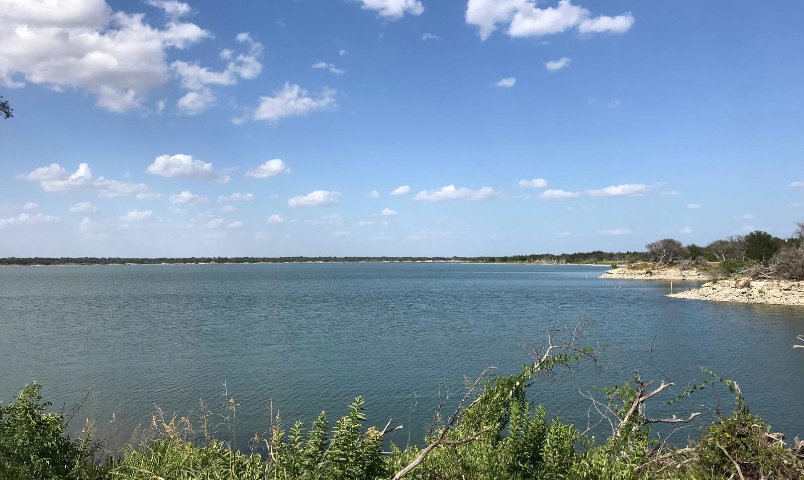
Harbour Texas Marina

This recreation area is part of Waco Lake

Directions

GPS Coordinates

Latitude 31° 36′ 19.5048″ N

Longitude 97° 14′ 10.7340″ W

Categories
Uncategorized

AIRPORT BEACH SHELTER

Overview

Airport Beach Shelter, located on one of Waco Lake’s sandy beaches, is ideal for families and friends to enjoy picnicking, sightseeing and water activities, all while staying within the Waco city limits.

Recreation

The main lake shoreline has a large amount of submerged timber, which typically holds fish year-round. Anglers will find plenty of catfish, crappie, large and smallmouth bass as well as sunfish.

A swimming beach, boat ramp and dock all help visitors enjoy the lake.

Facilities

The accessible shelter fits 110 guests, and a picnic area with grills and tables makes the park ideal for large parties and family functions.

Natural Features

Airport Beach Park is located on the North Shore of Waco Lake, about a quarter-mile west of the dam. The lake is primarily fed by the Bosque River, which runs for 115 miles through central Texas.

Nearby Attractions

Waco Lake Wetlands educational tours take visitors through a six-acre nursery of aquatic plants and more than 130 species of birds. A zoo is also located nearby.

Nearby Activities

  • Boating
  • Camping
  • Fishing
  • Swimming

Gallery

Directions

From I-35 take Lake Shore Drive exit (Exit 339) and drive west to Steinbeck Bend Road. Turn right and proceed to second stop light. At intersection with FM1637 (China Spring Highway) turn right. Go to next stop light (Flat Rock Road). Turn left and drive approximately 1 mile to Skeet Eason Road. Turn left and drive about a 1/2 mile. Airport Beach Park is on the second road to the right.

GPS Coordinates

Latitude 31° 36′ 24.5002″ N

Longitude 97° 14′ 1.2001″ W

Categories
Uncategorized

TWIN BRIDGES GROUP SHELTER

Overview

Twin Bridges, located on one of Waco Lake’s sandy beaches, is ideal for families and friends to enjoy picnicking, sightseeing and water activities, all while staying within the Waco city limits.

Recreation

The main lake shoreline has a large amount of submerged timber, which typically holds fish year-round. Anglers will find plenty of catfish, crappie, large and smallmouth bass as well as sunfish.
Swimming beaches, boat ramp and dock all help visitors enjoy the lake.

Facilities

Twin Bridges has two swimming beaches, horseshoe pits, a covered playground and a sand volleyball court. The group shelters can accommodate up to 225 guests.

Natural Features

The shelter is located on the west shore of the Waco Lake. The lake is primarily fed by the Bosque River, which runs for 115 miles through central Texas.

Nearby Attractions

Horseback riding, hiking and biking can be done on the 20-mile Lacy Point Hiking and Biking Trail. The trail is accessible from the Lacy Point boat ramp or Reynolds Creek Park.

Nearby Activities

  • Boating
  • Camping
  • Fishing
  • Swimming
  • Water access

Gallery

Directions

From I-35, take exit 330B Hwy 6 N toward Meridian for about 6 miles. After passing over the lake on the Twin Bridges, take the first exit toward Lake Waco/Speegleville Park. Turn left on the access road and the park entrance will be on the right.

GPS Coordinates

Latitude 31° 32′ 6.9101″ N

Longitude 97° 14′ 48.5401″ W

Categories
Uncategorized

SPEEGLEVILLE PARK

Overview

Speegleville Park is perched on the south end of a scenic cove of Waco Lake. The park provides outdoor recreation options like boating, jet skiing, fishing, swimming and bird watching.

Recreation

The main lake shoreline has a large amount of submerged timber, which typically holds fish year-round. Anglers will find plenty of catfish, crappie, large and smallmouth bass as well as sunfish. At least 51 species of fish inhabit the lake’s waters, and a record flathead catfish weighed in at a whopping 59.5 pounds.

A four-lane boat ramp helps visitors enjoy the lake.

Facilities

The park includes two screened shelters along with 30 campsites with water and electric hookups.

Natural Features

Waco Lake, located in central Texas within Waco city limits, boasts 79,000 acre-feet of water, providing irrigation and drinking water to residents of the Waco area. The lake is primarily fed by the Bosque River, which runs for 115 miles through central Texas.

Nearby Attractions

Horseback riding, hiking and biking can be done on the 20-mile Lacy Point Hiking and Biking Trail. The trail is accessible from the Lacy Point boat ramp, which is a short drive around the cove.

Nearby Activities

  • Boating
  • Camping
  • Fishing

Gallery

Directions

From I-35, take exit 330B Hwy 6 N toward Meridian for about 6 miles. After passing over the Lake on the Twin Bridges, take the first exit toward Lake Waco/Speegleville Park. Take a left on the access road. You will continue past the Twin Bridges Park about a quarter of a mile until you reach Overflow Road. Turn right on Overflow Road and drive for about 1.5 miles until you reach the entrance on the left.

GPS Coordinates

Latitude 31° 33′ 10.7798″ N

Longitude 97° 14′ 31.4700″ W

Categories
Uncategorized

REYNOLDS CREEK

Overview

Reynolds Creek sits on the scenic shores of Waco Lake and provides a variety of outdoor activities, including equestrian camping.

Recreation

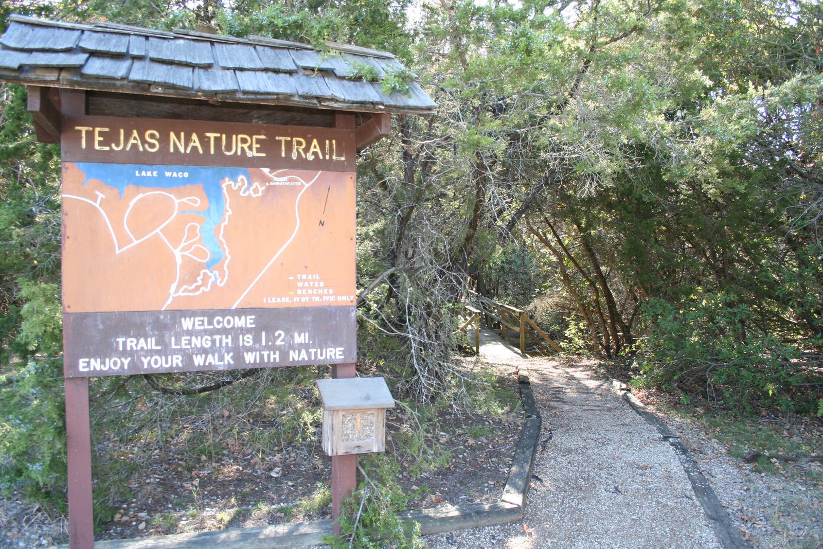
The Tejas Nature Trail, an easy 1.2-mile hike, starts at the park and winds its way through a thick blanket of ash and juniper trees. For visitors looking for a more challenging trek, horseback riding and biking can be done on the 20-mile Lacy Point Hiking and Biking Trail.

The main lake shoreline has a large amount of submerged timber, which typically holds fish year-round. Anglers will find plenty of catfish, crappie, and largemouth bass as well as sunfish.

A boat ramp and dock help visitors enjoy the lake.

Facilities

Reynolds Creek offers 51 spacious campsites, including 10 equestrian sites. Day-use picnic sites are available on a first come, first serve basis. Equestrian camping is available year-round and regular camping is available from April 1-September 30.

Natural Features

Waco Lake, which lies in the city limits of Waco, Texas, is fed primarily by the Bosque River, which runs for 115 miles through central Texas.

The sparkling lake was formed in 1963 with the completion of the Lake Waco Dam. Now, the lake’s current water levels are at 79,000 acre feet.

Nearby Attractions

Waco Lake Wetlands educational tours take visitors through a six-acre nursery of aquatic plants and more than 130 species of birds.

Nearby Activities

  • Biking
  • Boating
  • Camping
  • Fishing
  • Hiking
  • Horseback riding
  • Day use area
  • Horse camping

Gallery

Directions

From I-35, take exit 330B Hwy 6 N toward Meridian for about 7 miles. After passing over the Lake on the Twin Bridges, take the Speegleville Road exit (second exit after the bridges). Turn right on Speegleville Road. After 1 mile you will reach a 4-way stop. Continue straight on Speegleville Road for about 2 miles and park entrance will be on the right.

GPS Coordinates

Latitude 31° 34′ 54.1700″ N

Longitude 97° 16′ 4.6801″ W

Categories
Uncategorized

MIDWAY

Overview

Midway Park is ideal for families and friends to enjoy sightseeing and water activities, all while staying within the Waco city limits.

Recreation

The main lake shoreline has a large amount of submerged timber, which typically holds fish year-round. Anglers will find plenty of catfish, crappie, large and smallmouth bass as well as sunfish.

A boat ramp and dock help visitors enjoy the lake.

Facilities

Midway Park campground has 37 campsites. There are 32 sites with water and electric hookups, and 11 that also have sewer hookups. The campground has 5 tents sites. Other perks include hot showers, an accessible playground and a boat ramp.

Natural Features

Midway Park is located on the southeast shore of Waco Lake. The lake boasts 79,000 acre feet of water, providing irrigation and drinking water to residents of the Waco area.

Nearby Attractions

Midway Park is located within the City of Waco and is 10 miles from Magnolia Market. About 15 min from Midway Park, Waco Lake Wetlands offers educational tours that take visitors through a six-acre nursery of aquatic plants and more than 130 species of birds. Cameron Park Zoo is also located nearby.

Charges & Cancellations

A $10.00 service fee will apply if you change or cancel your reservation. Late cancellations are subject to additional fees. For full details see NRRS Reservation Policy.

Nearby Activities

  • Boating
  • Camping
  • Fishing
  • Swimming

Gallery

Directions

From I-35, take the exit for Hwy 6 N toward Meridian (330B) for about 5 miles. Immediately before crossing the lake, exit right at Midway Park Exit. At the exit, drive under the bridge and the park is a quarter-mile down the east-bound service road.

GPS Coordinates

Latitude 31° 31′ 32.0002″ N

Longitude 97° 13′ 30.7999″ W