This recreation area is part of Whitney Lake
Directions
GPS Coordinates
Latitude 32° 10′ 27.9994″ N
Longitude 97° 28′ 56.7326″ W
This recreation area is part of Whitney Lake
Latitude 32° 10′ 27.9994″ N
Longitude 97° 28′ 56.7326″ W
This recreation area is part of Whitney Lake
Latitude 31° 59′ 5.0003″ N
Longitude 97° 22′ 12.4958″ W
This recreation area is part of Whitney Lake
Latitude 32° 0′ 16.8522″ N
Longitude 97° 27′ 0.0307″ W
This recreation area is part of Whitney Lake
Latitude 31° 55′ 30.4162″ N
Longitude 97° 21′ 38.3523″ W
This recreation area is part of Whitney Lake
Latitude 31° 52′ 22.3795″ N
Longitude 97° 22′ 3.5144″ W
This recreation area is part of Whitney Lake
Latitude 31° 52′ 54.1524″ N
Longitude 97° 22′ 1.1568″ W
This recreation area is part of Whitney Lake
Latitude 31° 53′ 20.7060″ N
Longitude 97° 21′ 19.3320″ W
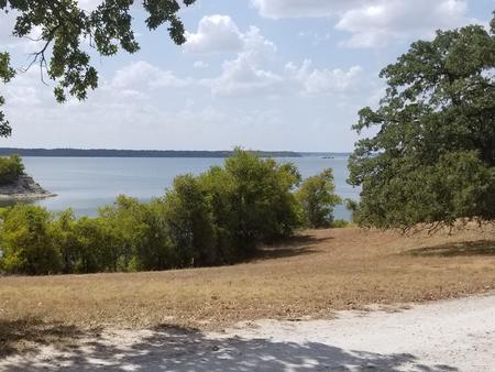
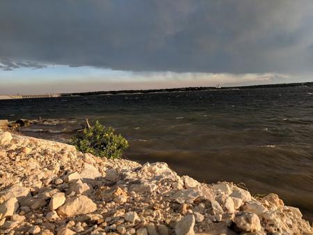
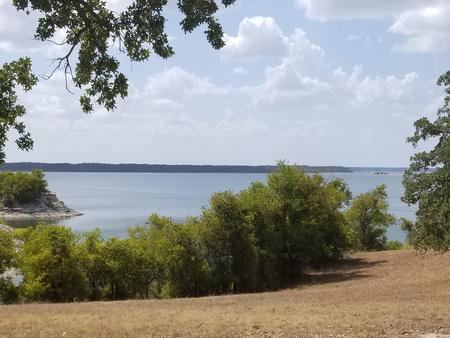
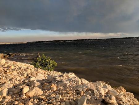
Lofers Bend West Campground is located on Whitney Lake on the Brazos River in Central Texas. Over two million people visit Whitney Lake each year to enjoy the plethora of recreational activities and scenic beauty the lake provides.
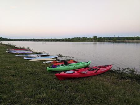
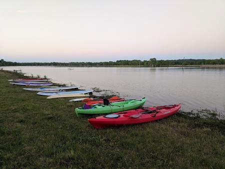
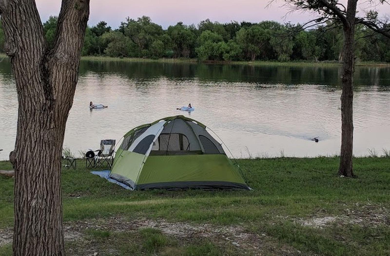
Boating, fishing, swimming, canoeing and kayaking are popular activities at Whitney Lake. Anglers can fish for a variety of bass, crappie and catfish.
The campground offers 51 electric sites, one group site, and one day-use group picnic shelter with water and electric hookups. 23 non-electric sites are available, many of which have water hookups. Amenities include flush toilets, showers, drinking water, a boat ramp and playground.
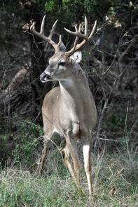
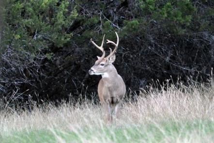
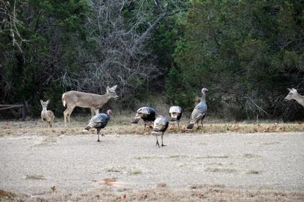
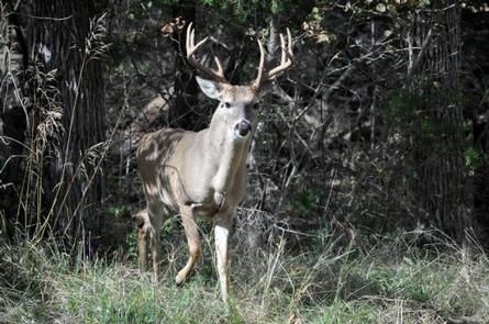
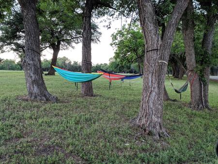
The park is situated on the lakeshore among rolling hills covered with cedar, live, and post oak trees. Many deer like to enjoy their stay at Lofers West along with the racoons and foxes.


From I-35 in Hillsboro, take Hwy 22 west 12 miles to Whitney, continue 7 miles past Whitney, and turn right before dam. Follow park road to 4-way stop. Turn left for West Lofers or right for East Lofers.
Latitude 31° 53′ 7.0001″ N
Longitude 97° 21′ 40.0000″ W
Kimball Bend Campground is located on Whitney Lake off the main channel of the Brazos River in Central Texas. The campground offers thirty four 50 amp campsites.
Boating, fishing, swimming, canoeing and kayaking are popular activities on the river and downstream at Whitney Lake. Anglers can fish for a variety of bass, crappie and catfish.
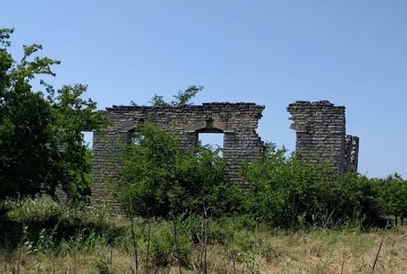
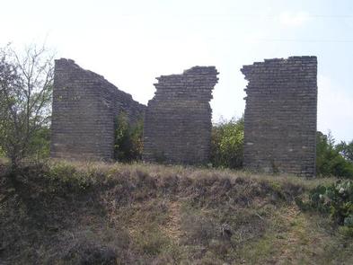
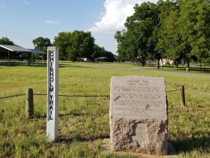
Visitors enjoy hiking the Chisholm Trail, a historic route followed by upwards of ten million cattle as they traveled northbound from southern Texas to Kansas and adjacent destinations between 1867 and the 1880s. It crosses through the campground and past several historic structures.
This year-round campground offers 34 sites with water and electric hookups. Amenities include flush toilets, showers, drinking water, a dump station and boat ramp.
The Brazos River flows gently over sand and rocks at Kimball Bend. The surrounding rolling hills are covered with cedar, live, and post oak trees.
The 12.5 mile Hopewell Trail is nearby. It allows hiking, mountain biking, and horseback riding. Visitors can travel south to Lakeside Village and Powelldale Mountain.


From Kopperl, TX, travel north on HWY 56 for approximately 2.5 miles. Turn right on HWY 174 and go approximately 2.3 miles. Turn left into the park, just before the HWY 174 bridge.
From Cleburne, TX, travel south on HWY 174 for 22 miles. Turn right into the park after you cross the HWY 174 bridge.
Latitude 32° 7′ 23.9999″ N
Longitude 97° 29′ 53.0002″ W
PLOWMAN CREEK CAMPGROUND IS CURRENTLY CLOSED DUE TO A FLOODING EVENT
Plowman Creek Campground is located on the west side of Whitney Lake off the main channel of the Brazos River in Central Texas. Plowman Creek not only offers many campsites but also includes flush toilets, showers, drinking water, a dump station, boat ramp and playground.
Boating, fishing, swimming, canoeing and kayaking are popular activities on the river and downstream at Whitney Lake. Anglers can fish for a variety of bass, crappie, and catfish.
The 12.5 mile Hopewell Trail allows hiking, mountain biking and horseback riding. Visitors can choose to travel north on the trail to Kimball Bend Park, or south to Lakeside Village and Powelldale Mountain.
This year-round campground offers 34 campsites in Plowman Creek. Twenty-two of these sites have water and 30 amp electrical hook up (sites 1-7 and 10-24). Twelve sites have water hookups only (sites 8,9 and 25-34). All sites have upright BBQ cookers and a ground cooker/fire ring. The park also has a restroom with showers, a restroom with toilet facilities only, and a trailer dump station. Amenities include flush toilets, showers, drinking water, a dump station, boat ramp and playground.
The Brazos River flows gently over sand and rocks at Plowman Creek. The surrounding rolling hills are covered with cedar, Live oak and Post oak.
From Kopperl, Texas, travel 1 mile south on FM 56. Follow signs into campground.
Latitude 32° 4′ 12.0000″ N
Longitude 97° 29′ 35.9999″ W