Overview
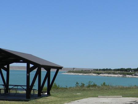
Russell Park is located on the west side of Georgetown Lake, in the Texas Hill Country approximately 25 miles north of Austin. Visitors enjoy boating, fishing and exploring the San Gabriel River Trail.
Recreation
Boating is the most popular way to enjoy the lake, and a boat ramp is provided for guests.
Fishing is excellent in the area, and the lake contains black bass, white bass, hybrid stripers, white crappie and channel and flathead catfish, but it’s most known for its abundance of smallmouth bass. Fishing docks are located on the shore within the campground.
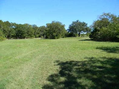
The San Gabriel River Trail is a 26-mile rugged path winding through dense juniper forest, hardwood bottomlands and prairie grasslands. The trail extends completely around Georgetown Lake via the dam and is open to hiking and biking.
Hunting is available for small game species such as dove, waterfowl, rabbit and squirrel, as well as white-tailed deer. Hunting is by permit only.
Facilities
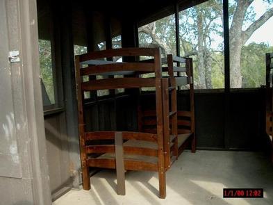
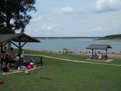
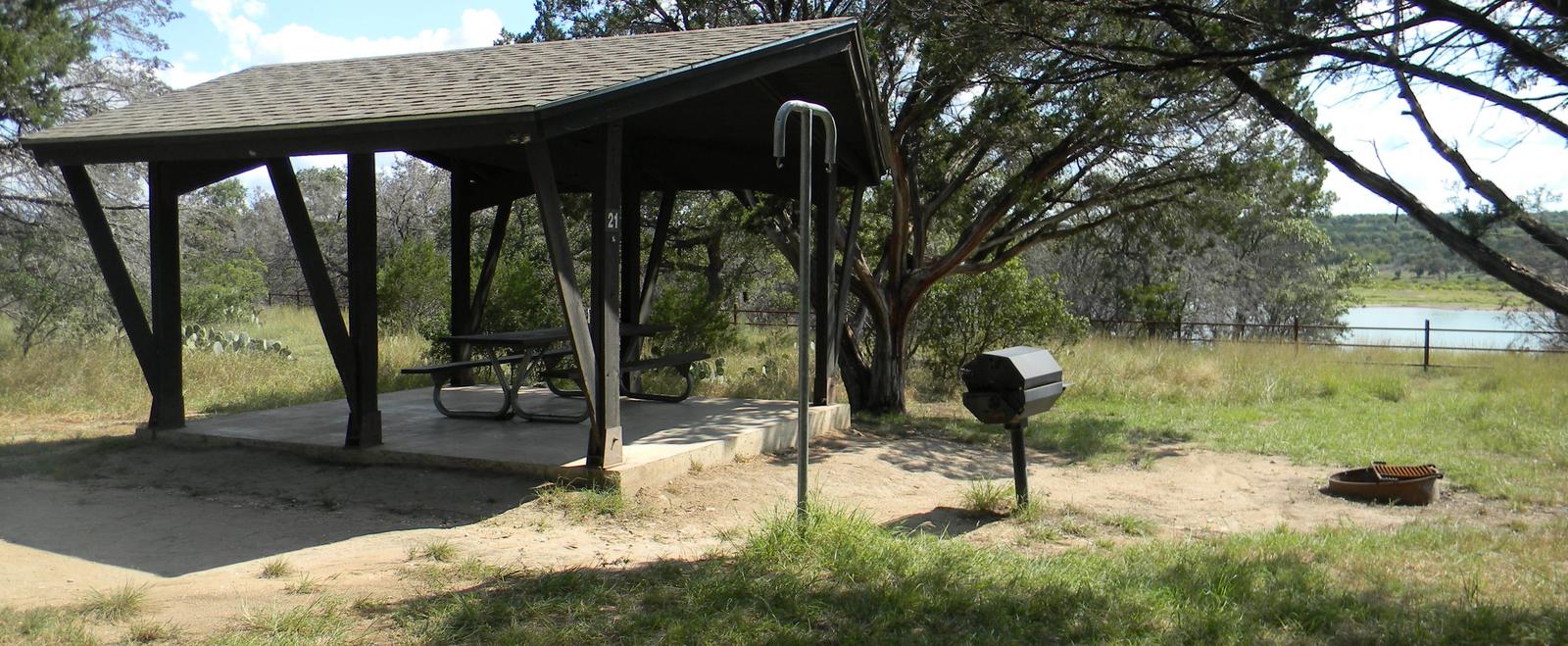
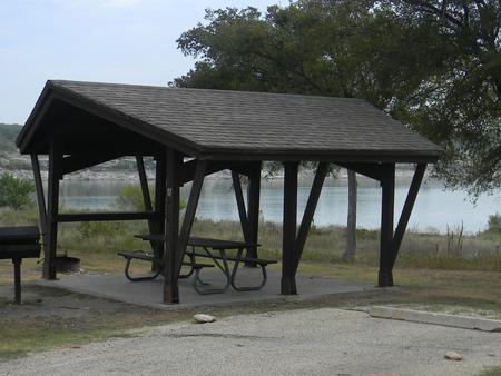
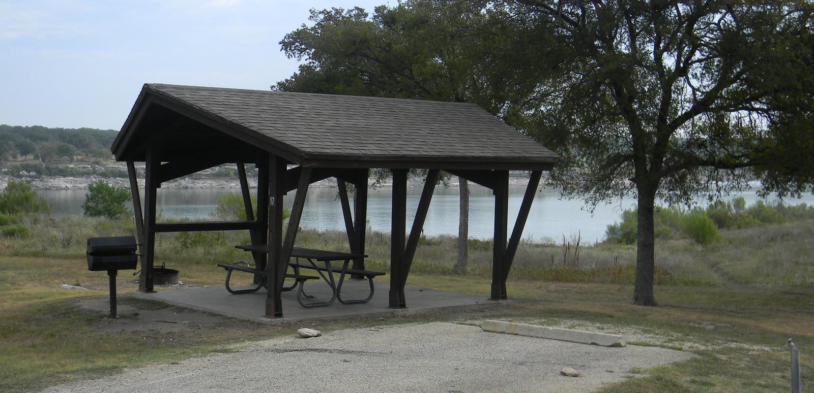
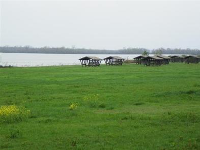
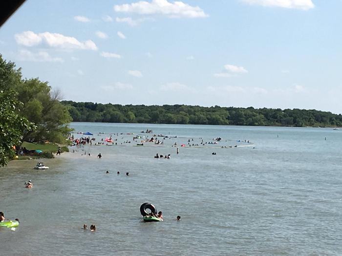
Russell Park is open year round and offers 27 primitive campsites with drinking water and flush toilets close by. Ten of these campsites have screened shelters which contain bunk beds with no bedding. Additional amenities include a swim beach and day use area.
Natural Features
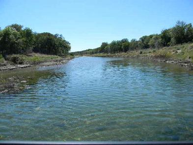
Georgetown Lake is a reservoir on the North Fork San Gabriel River in central Texas. The dam was completed in 1979 to provide flood control and water supply for the nearby community of Georgetown, and now provides countless recreation opportunities for outdoor enthusiasts.
Nearby Attractions
The nearby town of Georgetown offers gas, groceries and more. The historic downtown square district has shops and restaurants, and concerts and events are held on a regular basis.
Additionally, Austin is located just 25 miles from the lake, offering countless tourist attractions.
Nearby Activities
- Boating
- Camping
- Fishing
- Hiking
- Hunting
- Picnicking
- Water sports
- Wildlife viewing
- Swimming site
- Paddling
- Mountain biking
Gallery
Directions
From I-35, take FM 2338 west 7.5 miles to FM 3405, then go south 2 miles to CR 262. Go east 2 miles to the park entrance.
GPS Coordinates
Latitude 30° 40′ 39.0000″ N
Longitude 97° 45′ 33.0001″ W

