Categories
Uncategorized

DAM SITE RIVER (BEAVER LAKE)

Overview

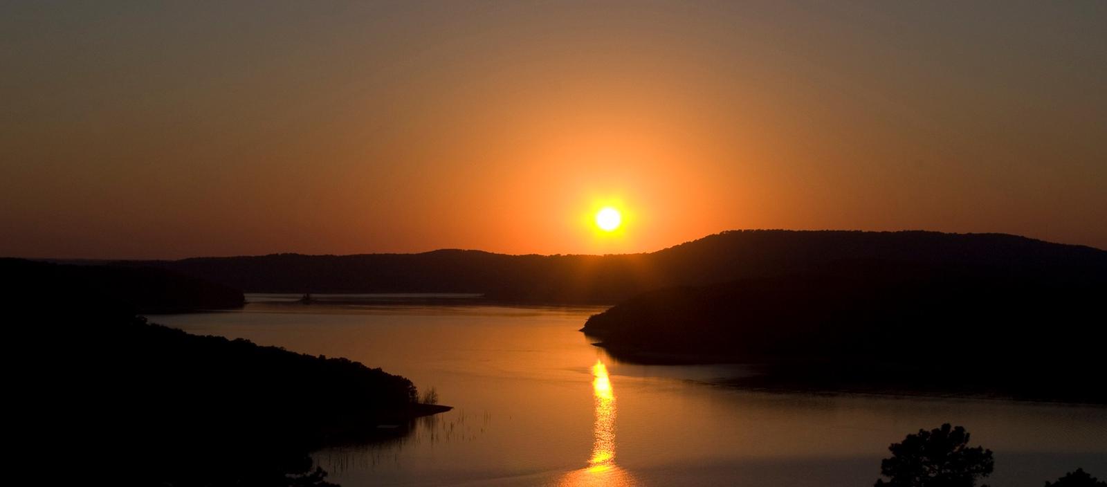
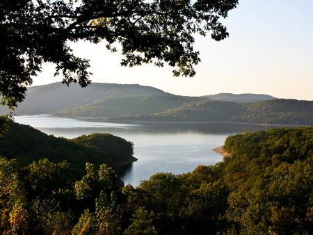
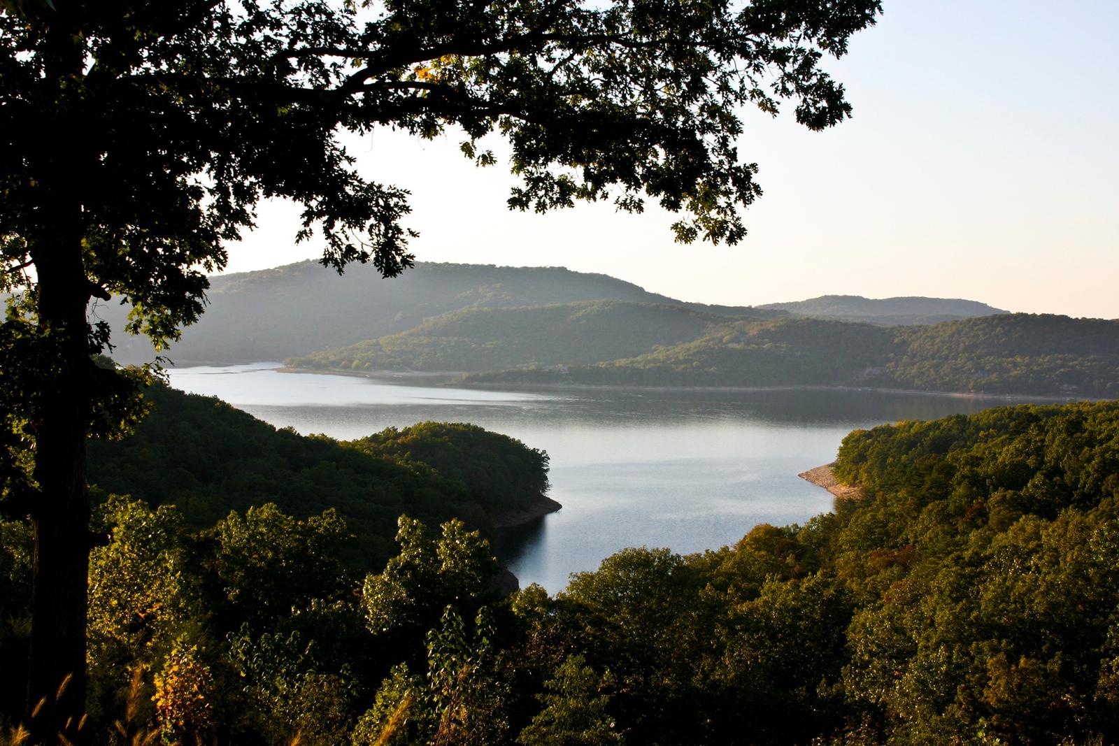
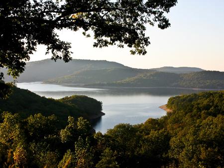
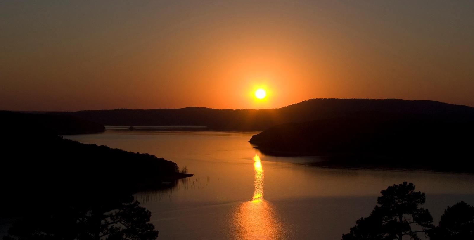
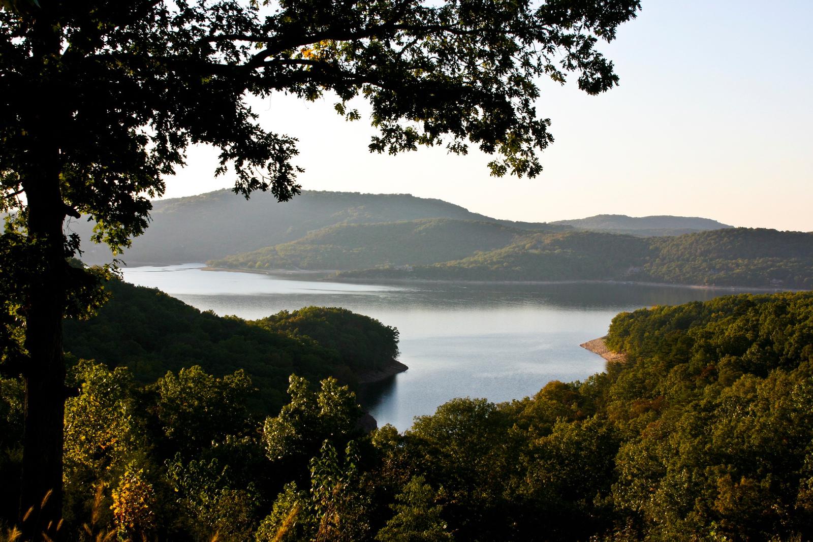
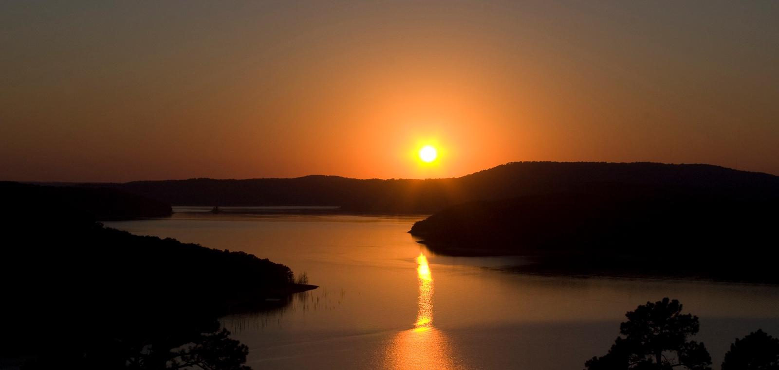
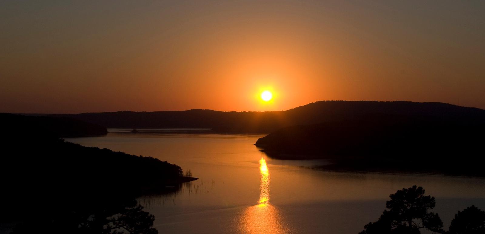
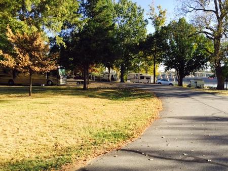
Dam Site River Campground sits on the shores of the White River, just below Beaver Dam and Lake in the Ozark Mountains. The campground features spacious and sunny campsites and an abundance of recreational activities.

Recreation

Fishing opportunities are plentiful near Dam Site River Campground. Just below the dam, the cold waters of the upper White River provide a perfect habitat for pole-bending rainbow and record-sized German brown trout. Nearby Beaver Lake has more than 28,000 surface acres of water, where anglers can try their luck at catching large and small-mouth bass, crappie, bream, white bass, stripers, and channel or spoon-bill catfish.

Several trails snake throughout the Ozark Mountains, offering peaceful hiking, biking and wildlife viewing opportunities for visitors.

Hunters will find game plentiful in northwest Arkansas. A mixture of hardwood and evergreen forest provides a good home to many different species of wildlife. While Beaver Lake is conveniently located near several population centers, within a short driving distance hunters can find remote areas filled with upland game animals such as deer, rabbits and squirrels.

Many other sports and activities await campers, including boating, swimming, picnicking, scuba diving, water skiing, spelunking and sightseeing.

Facilities

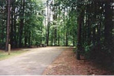
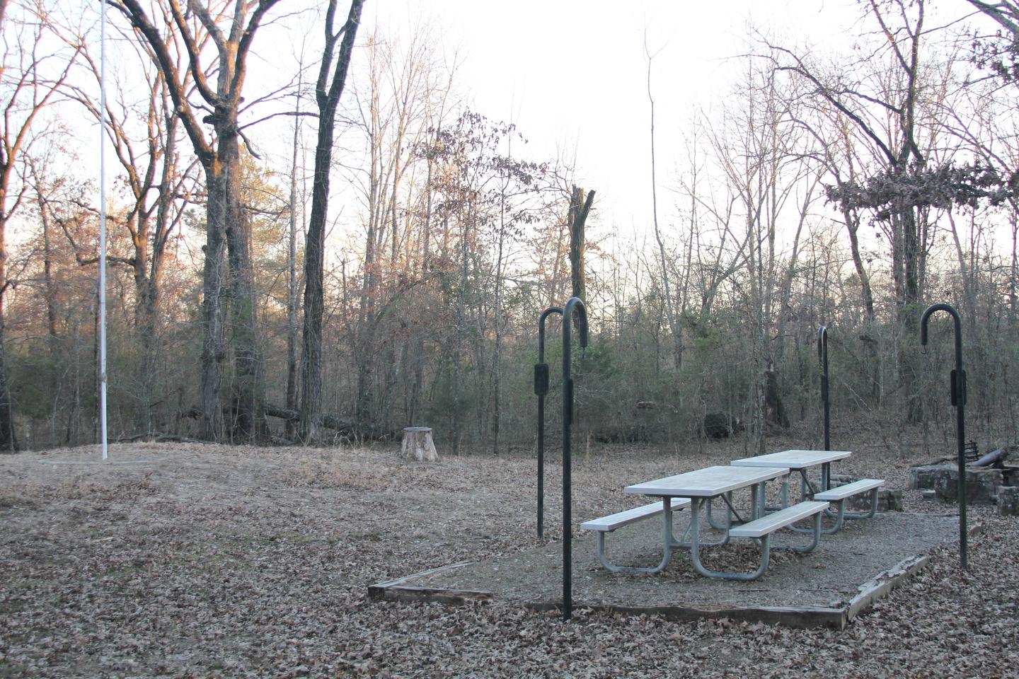
Dam Site River Campground has large campsites with plenty of shade and room for activities, and is steps away from the lake shore. Fire rings, picnic areas, drinking water and flush toilets all make for a comfortable camping getaway.

Natural Features

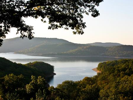
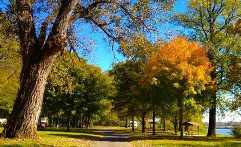
Towering limestone bluffs, natural caves and a variety of trees and flowering shrubs surround Dam Site River Campground, making it an ideal retreat for outdoor enthusiasts.

Beaver Lake and Dam, completed in 1966, was constructed in the White River Basin and boasts 449 miles of beautiful shoreline at the top of the conservation pool.

Although the dam was originally built for flood control, hydroelectric power and public water supply, it has also created a popular recreational oasis.

Nearby Attractions

Several marinas are located around the lake, offering groceries, fuel, boat rentals and storage, fishing guides and camping supplies. Click here for more information.

Nearby Activities

  • Boating
  • Camping
  • Fishing
  • Hiking
  • Water sports
  • Swimming site

Gallery

Directions

From Eureka Springs, Arkansas, take Highway 62 West and travel just over 4 miles. Turn left on Highway 187 and continue for about 6 miles. Take the first right after crossing the dam and follow signs to the campground.

GPS Coordinates

Latitude 36° 25′ 18.9998″ N

Longitude 93° 50′ 44.9999″ W

Categories
Uncategorized

PRAIRIE CREEK (AR)

Overview

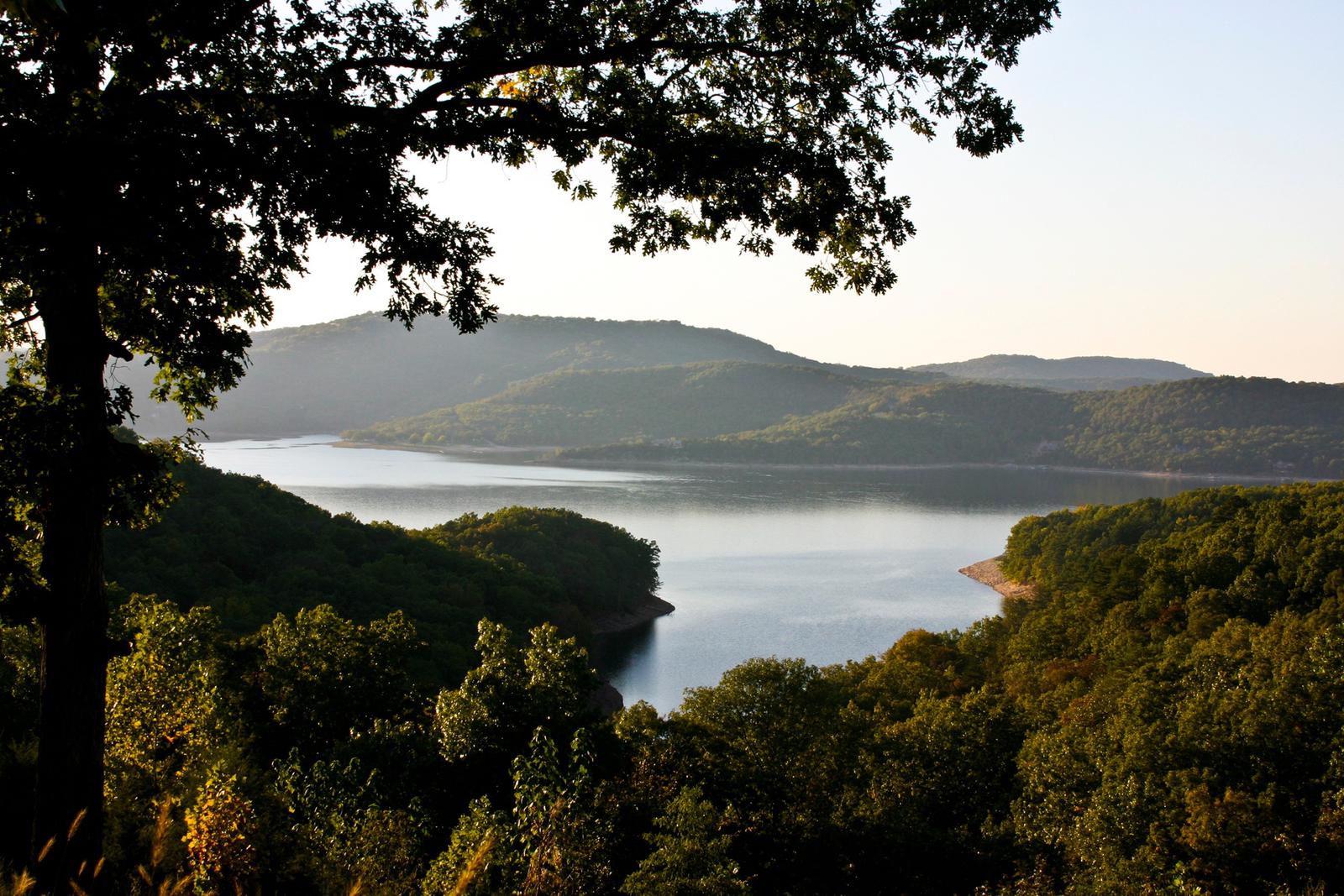
Prairie Creek Campground sits along the vast shores of Beaver Lake in the Ozark Mountains of Northwest Arkansas, offering spacious and sunny campsites and an abundance of recreational activities.

Recreation

Fishing opportunities are plentiful near Prairie Creek Campground. Beaver Lake has more than 28,000 surface acres of water, and anglers can try their luck at catching large and small-mouth bass, crappie, bream, white bass, stripers, and channel or spoon-bill catfish. Just below the dam, the cold waters of the upper White River provide a perfect habitat for pole-bending rainbow and record-size German brown trout.

Several trails snake throughout the Ozark Mountains, offering peaceful hiking, biking and wildlife viewing opportunities for visitors.

Hunters will find game plentiful in northwest Arkansas. A mixture of hardwood and evergreen forest provides a good home to many different species of wildlife. While Beaver Lake is conveniently located near several population centers, within a short driving distance hunters can find remote areas filled with upland game animals such as deer, rabbits and squirrels.

Many other sports and activities await campers, including boating, swimming, picnicking, scuba diving, water skiing, spelunking and sightseeing.

Facilities

Prairie Creek Campground has large campsites with plenty of shade and room for activities, and is steps away from the lake shore. Fire rings, picnic areas, drinking water and flush toilets all make for a comfortable camping getaway.

A sand volleyball court, five-lane boat ramp and playground make the area perfect for families and other large groups.

Natural Features

Towering limestone bluffs, natural caves and a variety of trees and flowering shrubs surround Prairie Creek Campground, making it an ideal retreat for outdoor enthusiasts.

Beaver Lake and Dam, completed in 1966, was constructed in the White River Basin and boasts 449 miles of beautiful shoreline at the top of the conservation pool.

Although the dam was originally built for flood control, hydroelectric power and public water supply, it has also created a popular recreational oasis.

Nearby Attractions

Several marinas are located around the lake, offering groceries, fuel, boat rentals and storage, fishing guides and camping supplies. Click here for more information.

Nearby Activities

  • Boating
  • Camping
  • Fishing
  • Hiking
  • Water sports
  • Swimming site

Gallery

Directions

From Rogers, Arkansas, take Highway 12/Prairie Creek Drive east for just over 3 miles. Turn left onto North Park Road and follow to the campground.

GPS Coordinates

Latitude 36° 21′ 16.9999″ N

Longitude 94° 3′ 2.0002″ W

Categories
Uncategorized

LOST BRIDGE NORTH

Overview

Lost Bridge North Campground sits along the vast shores of Beaver Lake in the Ozark Mountains of Northwest Arkansas, offering spacious and sunny campsites and an abundance of recreational activities.

Recreation

Fishing opportunities are plentiful near Lost Bridge North Campground. Beaver Lake has more than 28,000 surface acres of water, and anglers can try their luck at catching large and small-mouth bass, crappie, bream, white bass, stripers, and channel or spoon-bill catfish. Just below the dam, the cold waters of the upper White River provide a perfect habitat for pole-bending rainbow and record-size German brown trout.

Several trails snake throughout the Ozark Mountains, offering peaceful hiking, biking and wildlife viewing opportunities for visitors.

Hunters will find game plentiful in northwest Arkansas. A mixture of hardwood and evergreen forest provides a good home to many different species of wildlife. While Beaver Lake is conveniently located near several population centers, within a short driving distance hunters can find remote areas filled with upland game animals such as deer, rabbits and squirrels.

Many other sports and activities await campers, including boating, swimming, picnicking, scuba diving, water skiing, spelunking and sightseeing.

Facilities

Lost Bridge North Campground has large campsites with plenty of shade and room for activities, and is steps away from the lake shore. Fire rings, picnic areas, drinking water and flush toilets all make for a comfortable camping getaway.

Natural Features

Towering limestone bluffs, natural caves and a variety of trees and flowering shrubs surround Lost Bridge North Campground, making it an ideal retreat for outdoor enthusiasts.

Beaver Lake and Dam, completed in 1966, was constructed in the White River Basin and boasts 449 miles of beautiful shoreline at the top of the conservation pool.

Although the dam was originally built for flood control, hydroelectric power and public water supply, it has also created a popular recreational oasis.

Nearby Attractions

Several marinas are located around the lake, offering groceries, fuel, boat rentals and storage, fishing guides and camping supplies. Click here for more information.

Nearby Activities

  • Boating
  • Camping
  • Hiking
  • Water sports
  • Swimming site

Gallery

Directions

From Rogers, Arkansas, take Highway 62 east for about 13 miles to Garfield. Turn right on Highway 127 and continue for 6 miles. Turn left on Marina Road and follow signs to the park.

GPS Coordinates

Latitude 36° 24′ 38.9999″ N

Longitude 93° 53′ 35.9999″ W

Categories
Uncategorized

HORSESHOE BEND

Overview

Horseshoe Bend Campground sits along the vast shores of Beaver Lake in the Ozark Mountains of Northwest Arkansas, offering spacious and sunny campsites and an abundance of recreational activities.

Recreation

Fishing opportunities are plentiful near Horseshoe Bend Campground. Beaver Lake has more than 28,000 surface acres of water, and anglers can try their luck at catching large and small-mouth bass, crappie, bream, white bass, stripers, and channel or spoon-bill catfish. Just below the dam, the cold waters of the upper White River provide a perfect habitat for pole-bending rainbow and record-size German brown trout.

Several trails snake throughout the Ozark Mountains, offering peaceful hiking, biking and wildlife viewing opportunities for visitors.

Hunters will find game plentiful in northwest Arkansas. A mixture of hardwood and evergreen forest provides a good home to many different species of wildlife. While Beaver Lake is conveniently located near several population centers, within a short driving distance hunters can find remote areas filled with upland game animals such as deer, rabbits and squirrels.

Many other sports and activities await campers, including boating, swimming, picnicking, scuba diving, water skiing, spelunking and sightseeing.

Facilities

Horseshoe Bend Campground has large campsites with plenty of shade and room for activities, and is steps away from the lake shore. Fire rings, picnic areas, drinking water and flush toilets all make for a comfortable camping getaway.

There are also three large group picnic areas available, perfect for large parties and family get-togethers.

Natural Features

Towering limestone bluffs, natural caves and a variety of trees and flowering shrubs surround Horseshoe Bend Campground, making it an ideal retreat for outdoor enthusiasts.

Beaver Lake and Dam, completed in 1966, was constructed in the White River Basin and boasts 449 miles of beautiful shoreline at the top of the conservation pool.

Although the dam was originally built for flood control, hydroelectric power and public water supply, it has also created a popular recreational oasis.

Nearby Attractions

Several marinas are located around the lake, offering groceries, fuel, boat rentals and storage, fishing guides and camping supplies. Click here for more information.

Nearby Activities

  • Boating
  • Camping
  • Fishing
  • Hiking
  • Water sports
  • Swimming site

Gallery

Directions

From Rogers, Arkansas, take Highway 94 East/New Hope Road for approximately 8 miles, and follow into Horseshoe Bend Park.

GPS Coordinates

Latitude 36° 17′ 12.0001″ N

Longitude 94° 1′ 9.9998″ W

Categories
Uncategorized

HICKORY CREEK PARK

Overview

Hickory Creek Park sits along the vast shores of Beaver Lake in the Ozark Mountains of Northwest Arkansas, offering spacious and sunny campsites and an abundance of recreational activities.

Recreation

Fishing opportunities are plentiful near Hickory Creek Park. Beaver Lake has more than 28,000 surface acres of water, and anglers can try their luck at catching large and smallmouth bass, crappie, bream, white bass, stripers, and channel or spoon-bill catfish.

Just below the dam, the cold waters of the upper White River provide the perfect habitat for pole-bending rainbow and record-sized German brown trout.

Several trails snake throughout the Ozark Mountains, offering peaceful hiking, biking and wildlife viewing opportunities for visitors.

Hunters will find game plentiful in northwest Arkansas. A mixture of hardwood and evergreen forest provides a good home to many different species of wildlife. While Beaver Lake is conveniently located near several population centers, within a short driving distance hunters can find remote areas filled with upland game such as deer, rabbits and squirrels.

Many other sports and activities await campers, including boating, swimming, picnicking, scuba diving, water skiing, spelunking and sightseeing.

Facilities

Hickory Creek Park has large campsites with plenty of shade and room for activities, and is steps away from the lake shore.

Campfire rings, picnic areas, drinking water and flush toilets all make for a comfortable camping getaway. Group picnic shelters are also available, making it the perfect site for large parties or family gatherings.

Natural Features

Towering limestone bluffs, natural caves and a variety of trees and flowering shrubs surround Hickory Creek Park, making it an ideal retreat for outdoor enthusiasts.

Beaver Lake and Dam, completed in 1966, was constructed in the White River Basin and boasts 449 miles of beautiful shoreline at the top of the conservation pool.

Although the dam was originally built for flood control, hydroelectric power and public water supply, it has also created a popular recreational oasis.

Nearby Attractions

Several marinas are located around the lake, offering groceries, fuel, boat rentals and storage, fishing guides and camping supplies. Click here for more information.

Nearby Activities

  • Boating
  • Camping
  • Fishing
  • Hiking
  • Swimming site

Gallery

Directions

From Rogers, AR, take Highway 264 east for 4.5 miles. Turn right on Cow Face Road. After a mile, turn left on Hickory Creek Road. The park entrance sign is on the right after about a mile.

GPS Coordinates

Latitude 36° 14′ 34.0001″ N

Longitude 94° 2′ 15.0000″ W

Categories
Uncategorized

SPRINGHILL

Overview

Springhill Park sits along John Paul Hammerschmidt Lake in the lush, rolling hills of Arkansas. Campers come here for boating, swimming, birding and relaxing.

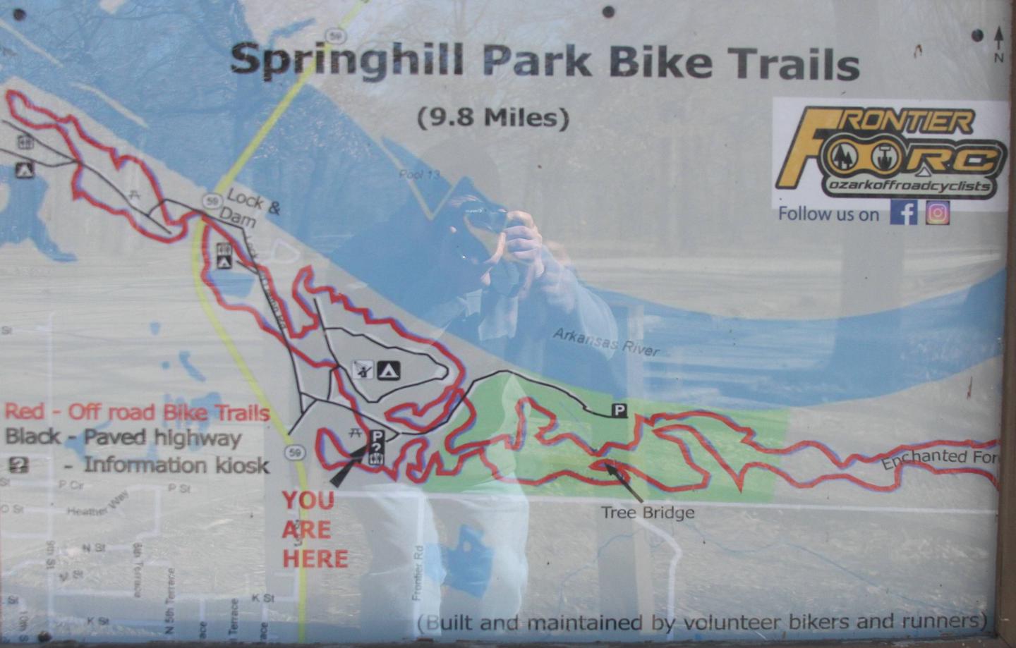
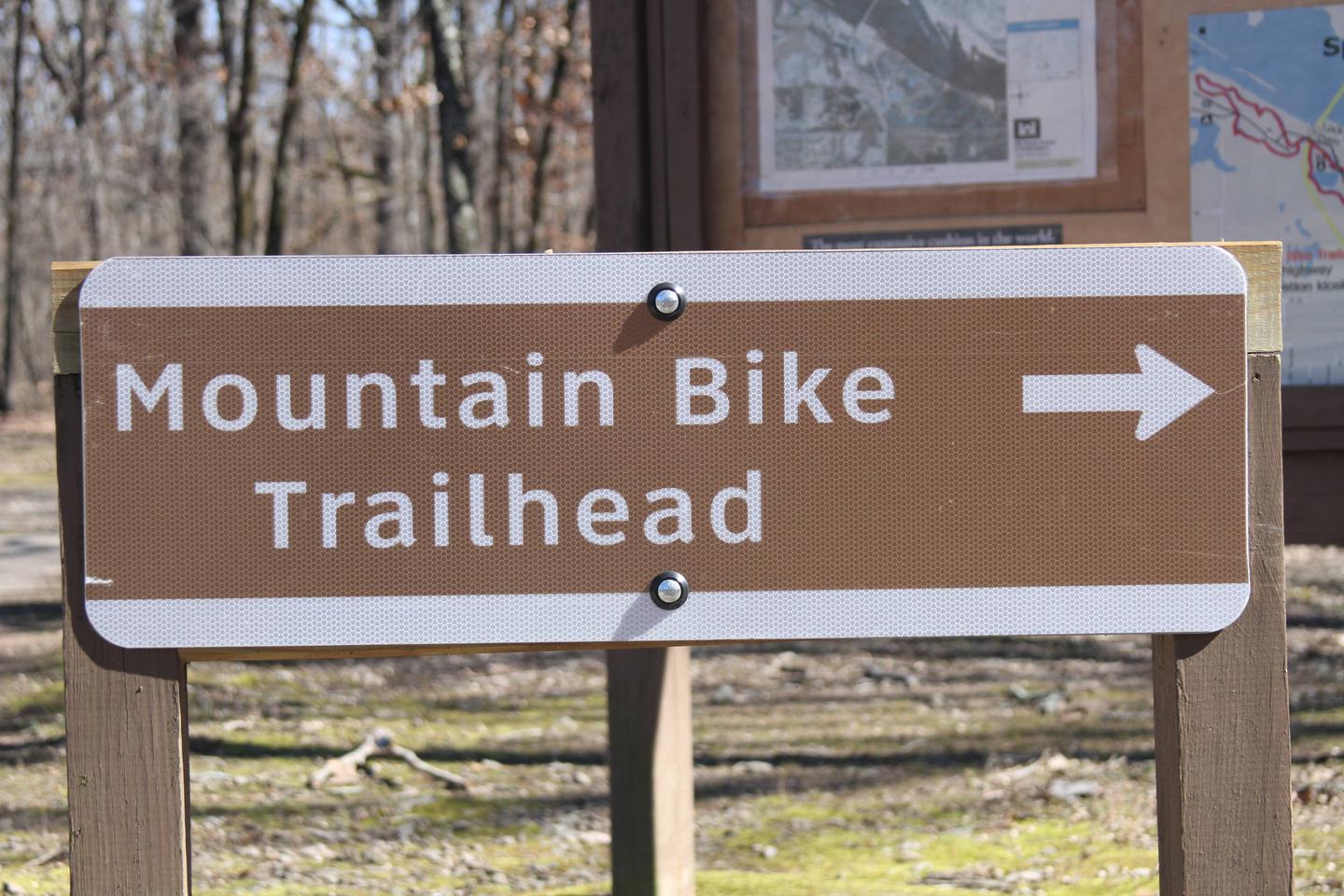
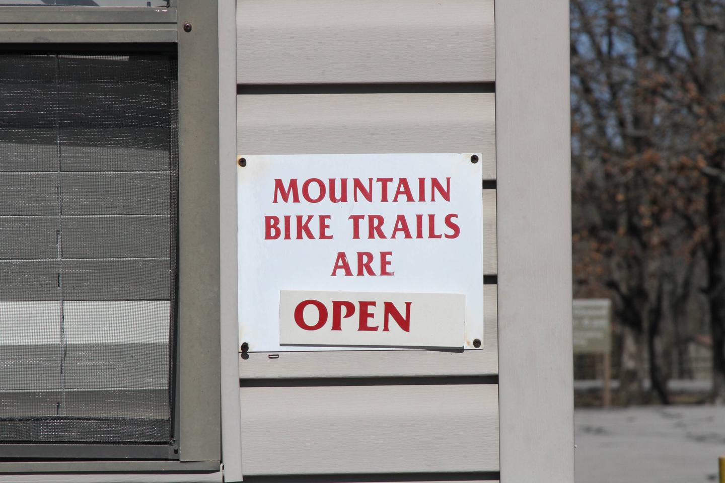
Avid mountain bikers enjoy the Springhill Park Mountain Bike Trail, a 10-mile "fast" trail where experienced bikers race frequently. The trail is also a designated National Recreation Trail.

Recreation

Year-round fishing for catfish, bream, crappie and white and largemouth bass is fantastic in the fertile waters of the Arkansas. From late fall until early spring, the tailwaters immediately below the lock and dam boasts some of the best sauger fishing in the country.

Facilities

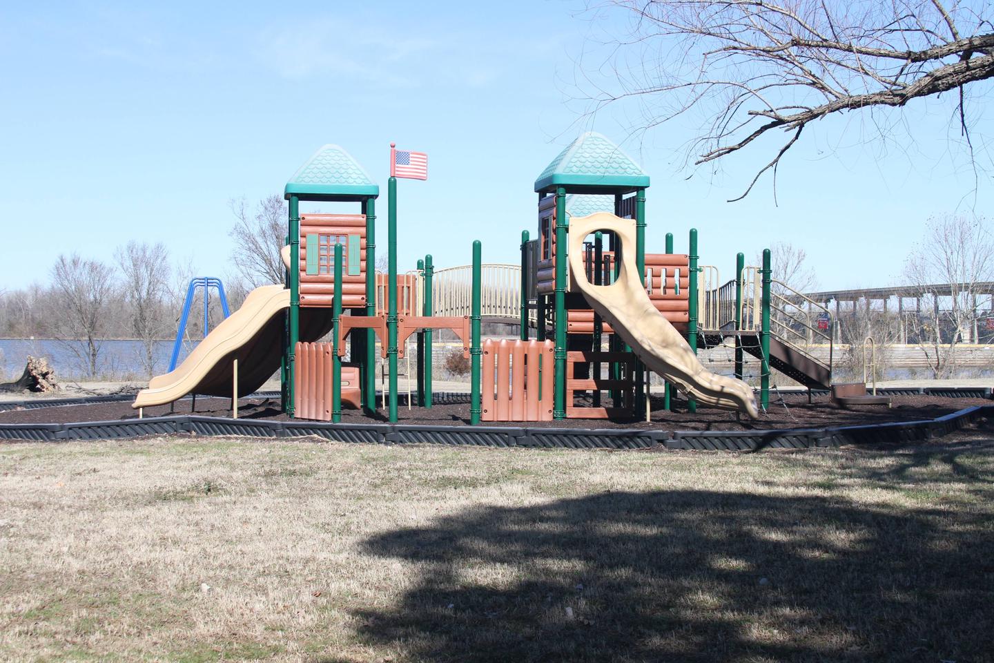
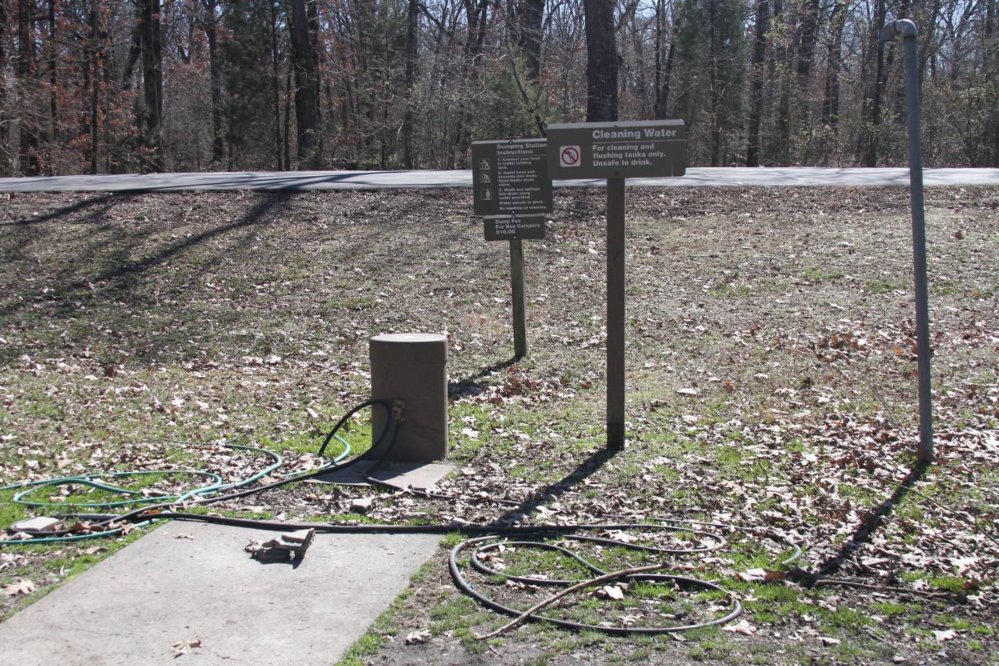
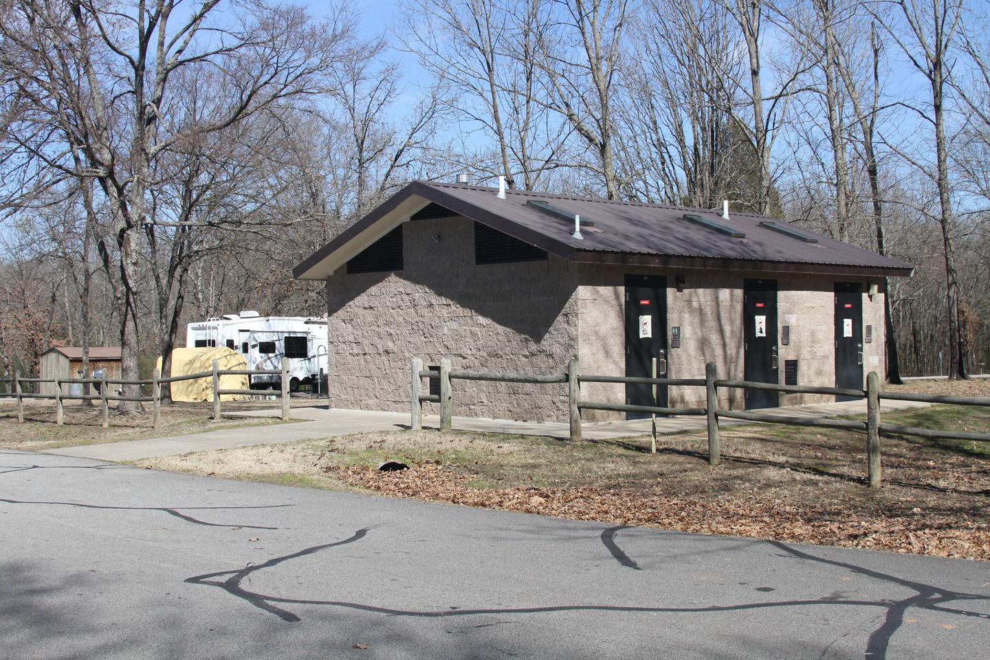
Springhill Park offers several spacious sites with electric hookups, along with four large group picnic shelters. Additional amenities include showers, a dump station, playground and boat ramps.

Natural Features

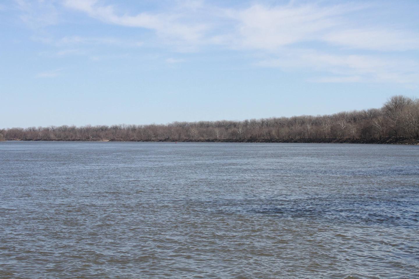
John Paul Hammerschmidt Lake is on the James W. Trimble Lock and Dam of the Arkansas River. Some campsites line the river while others sit between the lake and Massard Creek.

Bottomland hardwood timber banks, steep bluffs and open agricultural fields create the scenery.

Nearby Attractions

The Fort Smith Museum of History is located about 20 minutes away.

Nearby Activities

  • Biking
  • Boating
  • Camping
  • Fishing
  • Hiking
  • Birding

Gallery

Directions

From Barling, Arkansas, take SR-59 north for 1.5 miles and follow signs into campground.

GPS Coordinates

Latitude 35° 20′ 28.0000″ N

Longitude 94° 17′ 48.9998″ W

Categories
Uncategorized

Cherokee

This recreation area is part of Arkansas River – Rockefeller Lake

Directions

GPS Coordinates

Latitude 35° 7′ 45.5097″ N

Longitude 92° 47′ 21.9615″ W

Categories
Uncategorized

Sweeden Island

This recreation area is part of Arkansas River – Rockefeller Lake

Directions

GPS Coordinates

Latitude 35° 10′ 6.1720″ N

Longitude 93° 0′ 58.3143″ W

Categories
Uncategorized

TOAD SUCK

Overview

Toad Suck Campground, situated on the Arkansas River, is a popular destination for families and groups. Picnicking, boating and fishing all draw visitors to this shady campground.

Recreation

Fishing is excellent year-round, and record fish catches are common in the Arkansas River. The waters have an abundance of bream, crappie, white bass, largemouth bass and several species of catfish.

Facilities

Toad Suck provides 48 sites with electric and water hookups, plus five group picnic shelters. Additional amenities include hot showers, a playground and boat ramp.

Natural Features

Situated in the eastern edge of both the Ozark and Ouachita Mountains, the area is a haven for nature enthusiasts. Dogwood, redbud, wild plum and other native flowering trees offer breathtaking sights in springtime.

Nearby Attractions

The nearby Cadron Blockhouse in Cadron Settlement Park, a replica of a structure that was built in the late 18th century, is a popular tourist attraction.

The town of Conway hosts an annual Toad Suck Daze Festival, featuring a toad race competition.

Nearby Activities

  • Boating
  • Camping
  • Fishing
  • Birding

Gallery

Directions

From Conway, Arkansas, travel west for 7 miles on SR-60 and follow signs into the campground.

GPS Coordinates

Latitude 35° 4′ 26.0000″ N

Longitude 92° 32′ 40.9999″ W

Categories
Uncategorized

MAUMELLE

Overview

Maumelle Campground sits along the beautiful Arkansas River, offering boating, fishing and birding for outdoor enthusiasts.

Recreation

The Nuttall Trail runs through the park, offering visitors hiking opportunities. Anglers will find a selection of crappie, bream, hybrid bass, white bass and more.

A boat ramp is provided for campers to enjoy the river.

Facilities

Maumelle Campground offers 128 spacious campsites with electric hookups, along with eight large group picnic shelters. Amenities include a dock, hot showers, a boat ramp and playground.

Natural Features

The campground is set on the McClellan-Kerr Arkansas River Navigation System, a series of navigation pools used to help ships navigate upstream toward Oklahoma.

The Arkansas River is one of the Mississippi’s largest tributaries, flowing 1,450 miles from the Rocky Mountains of Colorado, through to Kansas, Oklahoma and Arkansas.

Wintering eagles can be seen in large numbers along the Arkansas River. Most of these eagles migrate from Canada and the U.S. Great Lakes region.

Nearby Attractions

The Pinnacle Mountain State Park is just two miles from the campground. The 13 mountain trails here range from easy to strenuous, and each one promises captivating scenery.

Nearby Activities

  • Boating
  • Camping
  • Fishing
  • Hiking

Gallery

Directions

From Little Rock, Arkansas, travel west on SR-10. Turn north on Pinnacle Valley Road and follow signs into campground.
9009 Pinnacle Valley Road
Little Rock, AR 72223

GPS Coordinates

Latitude 34° 49′ 45.9998″ N

Longitude 92° 25′ 54.9998″ W