Categories
Uncategorized

OAK GROVE

Overview

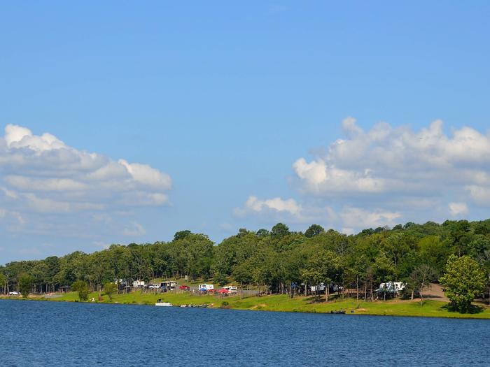
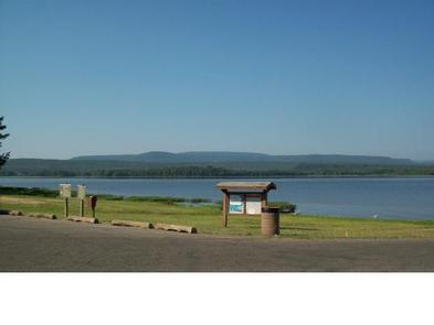
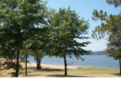
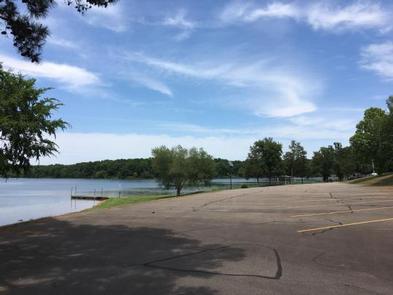
Oak Grove Campground sits along the shores of DeQueen Lake in southwest Arkansas.

Recreation

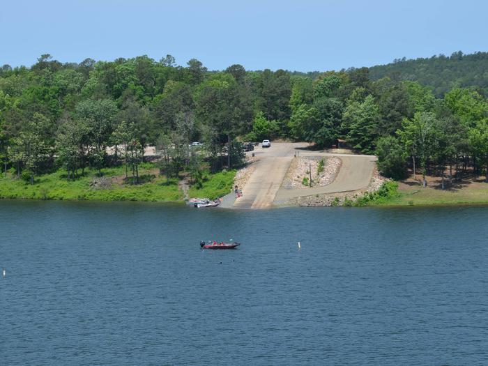
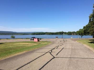
Boating and water sports top the list of recreational actives at the lake, and several boat ramps are provided for campers.

Fishing is also a popular pastime, with large mouth bass, small mouth bass, spotted pass, black and white crappie, channel and flathead catfish and various species of sunfish available in abundance. The Arkansas Game and Fish Commission have also stocked hybrid striped bass in the lake.

There are plenty of opportunities for hunting on the lands around the lake. Except for developed recreation areas and lands in the vicinity of the dam, all project lands are open to the public for hunting. Game species include bobwhite quail, mourning dove, turkey, fox squirrel, gray squirrel, cottontail rabbit and deer.

Although DeQueen Lake does not have a designated hiking trail, the vast expanse of land is open to the public and hiking activities are welcomed anywhere on project lands.

Facilities

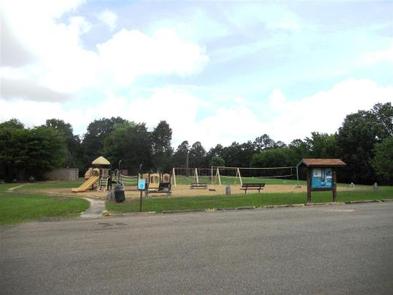
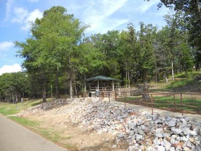
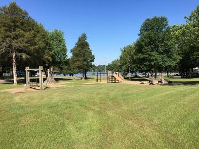
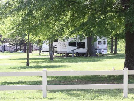
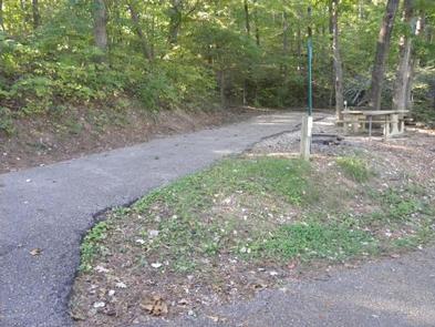
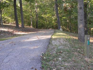
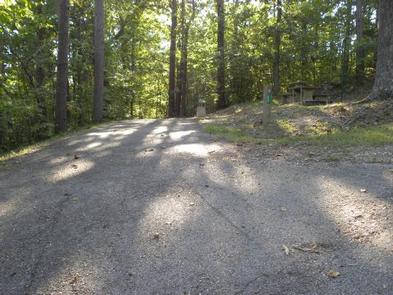
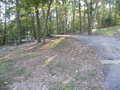
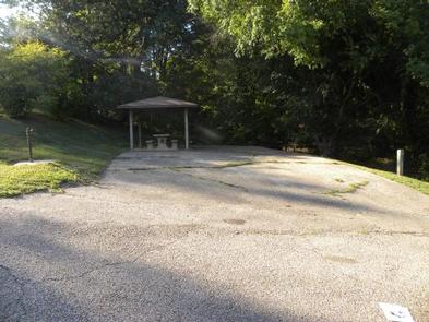
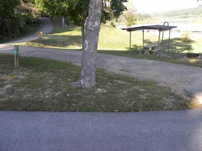
Oak Grove Campground offers 36 spacious campsites, along with one large reservable group picnic shelter. Campsites include modern amenities like flush toilets, showers and drinking water.

Natural Features

DeQueen Lake is part of a dam project located on the Rolling Fork River. The dam, completed in 1977, was built for flood control and water supply, and now provides a recreational oasis for thousands of campers each year.

The lake boasts 32 miles of shoreline to its visitors, along with 8,700 acres of rolling green landscape.

Nearby Attractions

The nearby town of DeQueen, Arkansas, offers gas, grocery and medical services.

Nearby Activities

  • Boating
  • Camping
  • Fishing
  • Hunting
  • Day use area
  • Swimming site

Gallery

Directions

From DeQueen, AR, take Highway 71 north for 3 miles. Turn west onto DeQueen Lake Road and continue for 5.3 miles, following signs into the campground.

GPS Coordinates

Latitude 34° 5′ 48.0001″ N

Longitude 94° 23′ 39.9998″ W

Categories
Uncategorized

BELLAH MINE

Overview

Bellah Mine Campground sits along the shores of DeQueen Lake in southwest Arkansas.

Recreation

Boating and water sports top the list of recreational activities at the lake, and several boat ramps are provided for campers.

Fishing is also a popular pastime, with large mouth bass, small mouth bass, spotted pass, black and white crappie, channel and flathead catfish and various species of sunfish available in abundance. The Arkansas Game and Fish Commission have also stocked hybrid striped bass in the lake.

There are plenty of opportunities for hunting on the lands around the lake. Except for developed recreation areas and lands in the vicinity of the dam, all project lands are open to the public for hunting. Game species include bobwhite quail, mourning dove, turkey, fox squirrel, gray squirrel, cottontail rabbit and deer.

Although DeQueen Lake does not have a designated hiking trail, the vast expanse of land is open to the public and hiking activities are welcomed anywhere on project lands.

Facilities

Bellah Mine Campground offers 24 spacious campsites, along with one large reservable group picnic shelter. Campsites include modern amenities like flush toilets, showers and drinking water.

Natural Features

DeQueen Lake is part of a dam project located on the Rolling Fork River. The dam, completed in 1977, was built for flood control and water supply, and now provides a recreational oasis for thousands of campers each year.

The lake boasts 32 miles of shoreline to its visitors, along with 8,700 acres of rolling green landscape.

Nearby Attractions

The nearby town of DeQueen, Arkansas, offers gas, grocery and medical services.

Nearby Activities

  • Boating
  • Camping
  • Fishing
  • Hunting
  • Water sports

Gallery

Directions

From DeQueen, AR, take Highway 71 north for 7 miles. Turn west onto Bellah Mine Road and continue for 5 miles, following signs into the campground.

GPS Coordinates

Latitude 34° 8′ 39.9998″ N

Longitude 94° 23′ 47.0000″ W

Categories
Uncategorized

Riverview

This recreation area is part of Dardanelle Lake

Directions

GPS Coordinates

Latitude 35° 14′ 46.2718″ N

Longitude 93° 10′ 20.6224″ W

Categories
Uncategorized

Spadra

This recreation area is part of Dardanelle Lake

Directions

GPS Coordinates

Latitude 35° 25′ 32.7904″ N

Longitude 93° 28′ 18.0335″ W

Categories
Uncategorized

Dardanelle State Park

This recreation area is part of Dardanelle Lake

Directions

GPS Coordinates

Latitude 35° 15′ 14.5016″ N

Longitude 93° 12′ 54.6155″ W

Categories
Uncategorized

Russellville State Park

This recreation area is part of Dardanelle Lake

Directions

GPS Coordinates

Latitude 35° 17′ 19.0590″ N

Longitude 93° 12′ 12.2066″ W

Categories
Uncategorized

SHOAL BAY

Overview

This shady campground sits on the scenic Shoal Bay arm of Lake Dardanelle, offering an excellent setting for boating, swimming and wildlife viewing.

Recreation

The lake, a popular spot for anglers, is brimming with white bass, largemouth bass, bream, crappie and large catfish.

The Bridge Rock Trail winds along a rugged slope overlooking the narrows of Shoal Creek, offering excellent hiking opportunities.

Dardanelle’s Visitor Center is noteworthy for its “Renaissance of a River” theme. Interpretive exhibits express the progression of river valley from the time of early Native Americans to its present day.

Facilities

Shoal Bay offers 45 reservable campsites, most of which have electric hookups. Two large picnic shelters are also available.

Amenities include a boat ramp, playground and hot showers.

Natural Features

Dardanelle Lake, sourced by the Arkansas River, spans 40,000 acres and boasts 315 miles of shoreline. The lake sits in the river valley between the Ozark and Ouachita National Forests.

Nearby Attractions

Bona Dea Trails and Sanctuary, with nearly 86 acres of wetlands and low woods, provide an ideal habitat for native wildlife. Visitors can explore the area on the 6 mile trail system.

Nearby Activities

  • Boating
  • Camping
  • Fishing
  • Wildlife viewing
  • Swimming site

Gallery

Directions

From New Blaine, Arkansas, take State Route 197 north for 2 miles.
Follow signs into campground.

GPS Coordinates

Latitude 35° 18′ 36.0000″ N

Longitude 93° 25′ 50.0002″ W

Categories
Uncategorized

PINEY BAY

Overview

Piney Bay Campground sits along Dardanelle Lake in western Arkansas. Campers come here to get a break from the city and take advantage of the ample swimming, boating and fishing opportunities.

Recreation

Picnicking, boating and fishing are favorite pastimes. The lake is brimming with white bass, largemouth bass, bream, crappie and large catfish.

Facilities

Piney Bay offers 68 reservable campsites, all equipped with electric hookups, along with a large group picnic shelter and over 20 walk-in campsites. Campers enjoy hot showers, two boat ramps, a playground and a swim beach.

Natural Features

Situated between the Ozark and Ouachita National Forests, Dardanelle Lake creates an excellent setting for nature lovers. The lake stems from the Arkansas River and spans 40,000 acres. Wooded area and hills surround the lake.

The region is a favorite destination for bald eagles in wintertime.

Nearby Attractions

Bona Dea Trails and Sanctuary, with nearly 86 acres of wetlands and low woods, provide an ideal habitat for native wildlife. Visitors can explore the area on the six-mile trail system.

Nearby Activities

  • Boating
  • Camping
  • Fishing
  • Day use area
  • Swimming site

Gallery

Directions

From London, Arkansas, take US-64 west for 3 miles to State Route 359 north. Continue for 3.5 miles and follow signs into the campground.

GPS Coordinates

Latitude 35° 23′ 57.9998″ N

Longitude 93° 18′ 51.9998″ W

Categories
Uncategorized

OLD POST ROAD

Overview

Old Post Road is a camping hotspot at Dardanelle Lake, with numerous opportunities for boating, biking, hiking and birding.

The river valley is a favorite winter destination for bald eagles.

Recreation

Boating and fishing are the top activities, and a boat ramp is provided for convenient lake access.

Soccer and baseball fields and tennis courts offer additional recreation opportunities, and a biking trail also starts at the campground.

Facilities

The 37 reservable campsites offer have water and electric hookups. A playground and multiple picnic areas make the park perfect for families and parties.

Natural Features

Perched between the Ozark and Ouachita National Forests, Dardanelle Lake creates an excellent setting for nature lovers. The lake, sourced by the Arkansas River, spans 40,000 acres and boasts 315 miles of shoreline. A variety of hardwoods surround the lake shore.

Nearby Attractions

The nearby Holla Bend National Wildlife Refuge offers excellent wildlife viewing and photography.

Nearby Activities

  • Boating
  • Camping
  • Fishing
  • Visitor center
  • Mountain biking
  • Birding
  • Disc golf
  • Soccer fields

Gallery

Directions

From SR-7, take Lock and Dam Road for one mile and follow signs into campground.

GPS Coordinates

Latitude 35° 14′ 49.9999″ N

Longitude 93° 9′ 45.0000″ W

Categories
Uncategorized

Webb Creek Park

Overview

Webb Creek Campground on Clearwater Lake greets visitors with excellent camping, fishing, swimming, boating and picnicking opportunities. Water sport enthusiasts love the lakes diverse offerings, from boating to jet skiing and canoeing to swimming. Clearwater is considered a "wilderness lake" because it lacks private boat docks and offers plenty of unspoiled shorelines to explore.

Recreation

Wildlife viewing is popular with wetland waterfowl, fox, deer and geese. Picnicking is also a favorite pastime, as is lounging on the beach, boating and fishing.

Facilities

Webb Creek Campground offers 31 sites, both electric and non-electric. Most of the campsites are located on a wooded hillside and each campsite offers a fire ring and picnic table. Additional amenities include a dump station, showers, boat ramp, playground and a swimming area.

Natural Features

The lake, surrounded by the picturesque hills of the Ozarks, is fed by the Black River. Average temperatures range from 33 to 59 degrees Fahrenheit in March, and 65 to 92 degrees in summer.

Nearby Attractions

Part of the Ozark National Scenic Riverways, stop by a historic sawmill known as the Klepzig Mill, or visit Blue Spring, Reed Spring and Rocky Falls while in the area. Elk viewing is available at Peck Ranch Wildlife Reserve. For those looking for a fun outing, a drive-in movie theater is also nearby.

Nearby Activities

  • Boating
  • Camping

Gallery

Directions

From Ellington, MO, travel south on MO 21 for 2.6 miles to Route H. Route H ends in the park.

GPS Coordinates

Latitude 37° 8′ 57.7900″ N

Longitude 90° 48′ 29.3602″ W