This recreation area is part of Millwood Lake
Directions
GPS Coordinates
Latitude 33° 47′ 5.5318″ N
Longitude 94° 0′ 30.5759″ W
This recreation area is part of Millwood Lake
Latitude 33° 47′ 5.5318″ N
Longitude 94° 0′ 30.5759″ W
This recreation area is part of Millwood Lake
Latitude 33° 47′ 44.8857″ N
Longitude 94° 11′ 9.3172″ W
This recreation area is part of Millwood Lake
Latitude 33° 41′ 11.0868″ N
Longitude 93° 59′ 50.6580″ W
This recreation area is part of Millwood Lake
Latitude 33° 45′ 39.1668″ N
Longitude 94° 3′ 31.6830″ W
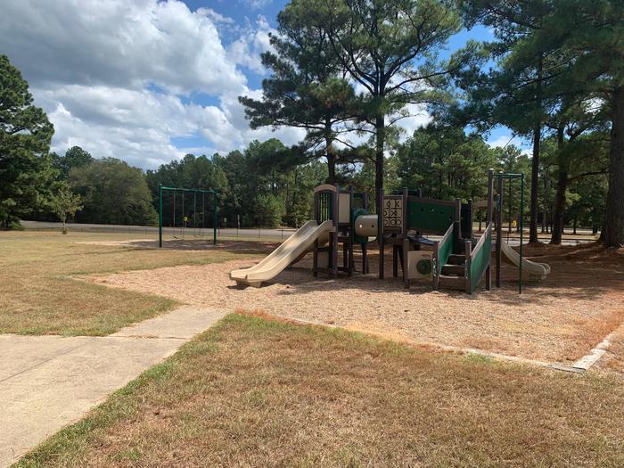
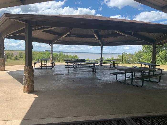
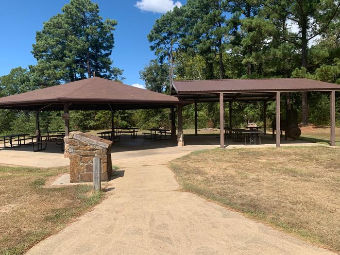
The Millwood Overlook Pavilion is located above beautiful Millwood Lake next to Millwood Dam. A secluded, tranquil, and well-maintained venue; the Overlook Pavilion is a popular location for weddings, reunions, and parties. The Overlook also offers a unique vantage point to view spectacular southern sunsets.
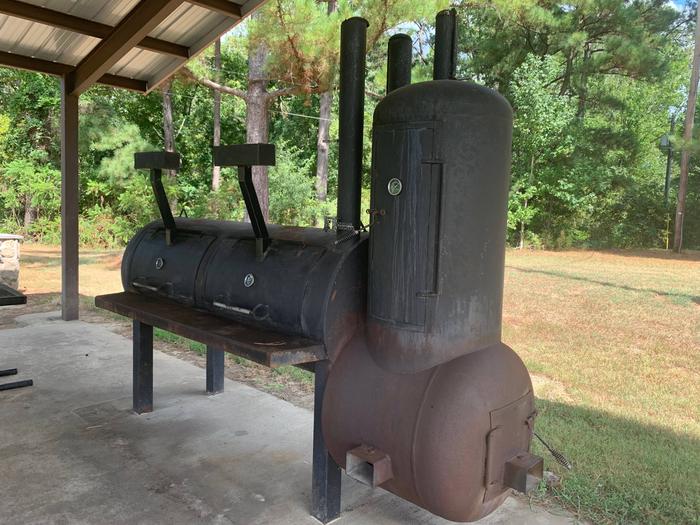
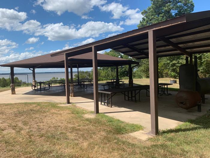
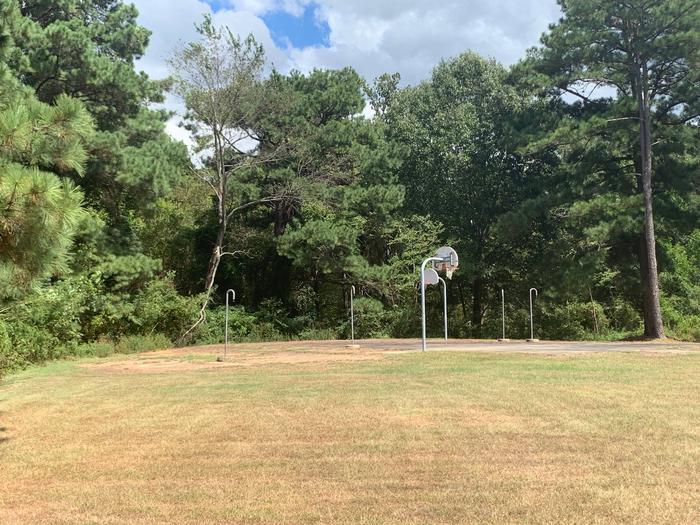
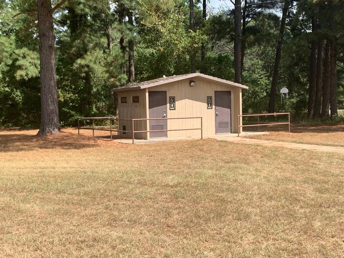
The Overlook Pavilion is a day use area that can accomodate groups of up to 150 people. No overnight camping is avaliable at the site. Multiple tables, a smoker/grill, accessible water hook-ups, and flush toilets are avaliable.
The Overlook provides a vew of the entire southern portion of Lake Millwood, near Millwood Dam.

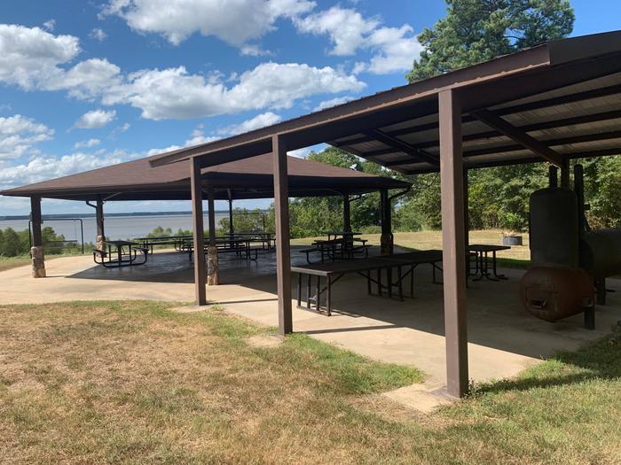
Millwood Overlook Pavilion is located 13 miles east of Ashdown on State Highway 32. When driving from Ashdown, cross Millwood Dam and take the first left.
Latitude 0° 0′ 0.0000″ S
Longitude 0° 0′ 0.0000″ W
This recreation area is part of Greers Ferry Lake
Latitude 0° 0′ 0.0000″ S
Longitude 0° 0′ 0.0000″ W
This recreation area is part of Greers Ferry Lake
Latitude 35° 33′ 52.5971″ N
Longitude 92° 12′ 15.6953″ W
This recreation area is part of Greers Ferry Lake
Latitude 35° 27′ 55.4628″ N
Longitude 92° 9′ 8.4784″ W
This recreation area is part of Greers Ferry Lake
Latitude 35° 33′ 14.8660″ N
Longitude 92° 4′ 33.9017″ W
This recreation area is part of Greers Ferry Lake
Latitude 35° 31′ 45.3324″ N
Longitude 92° 0′ 33.3036″ W