Categories
Uncategorized

CARDEN POINT

Overview

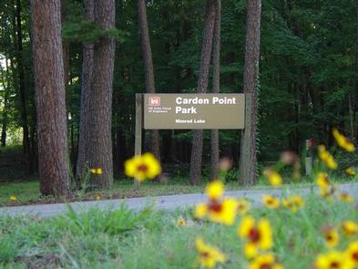
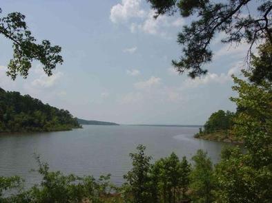
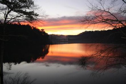
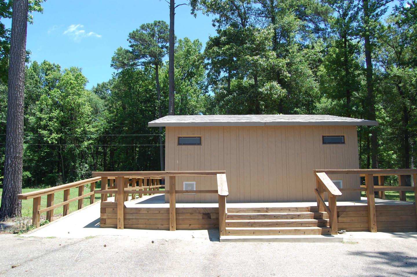
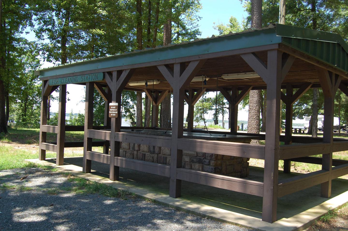
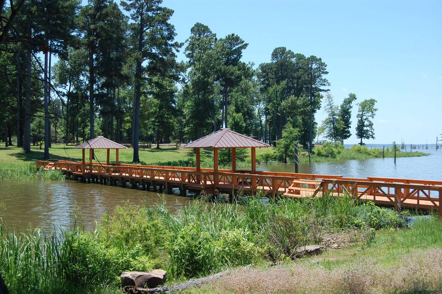
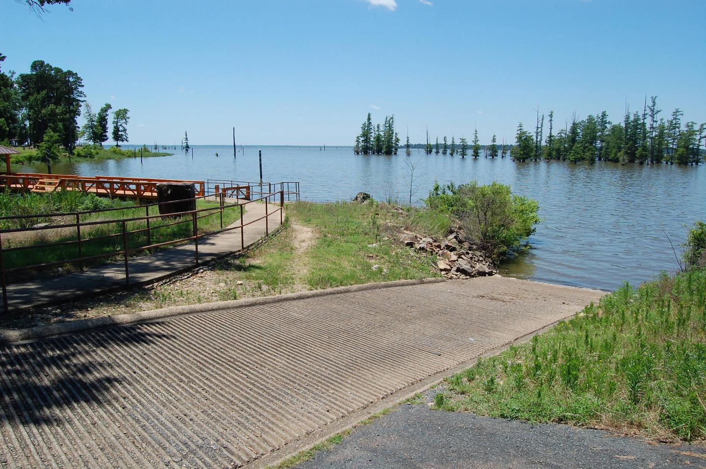
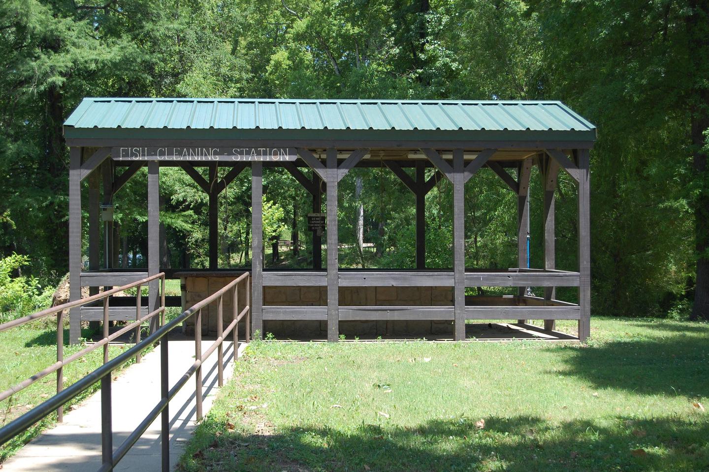
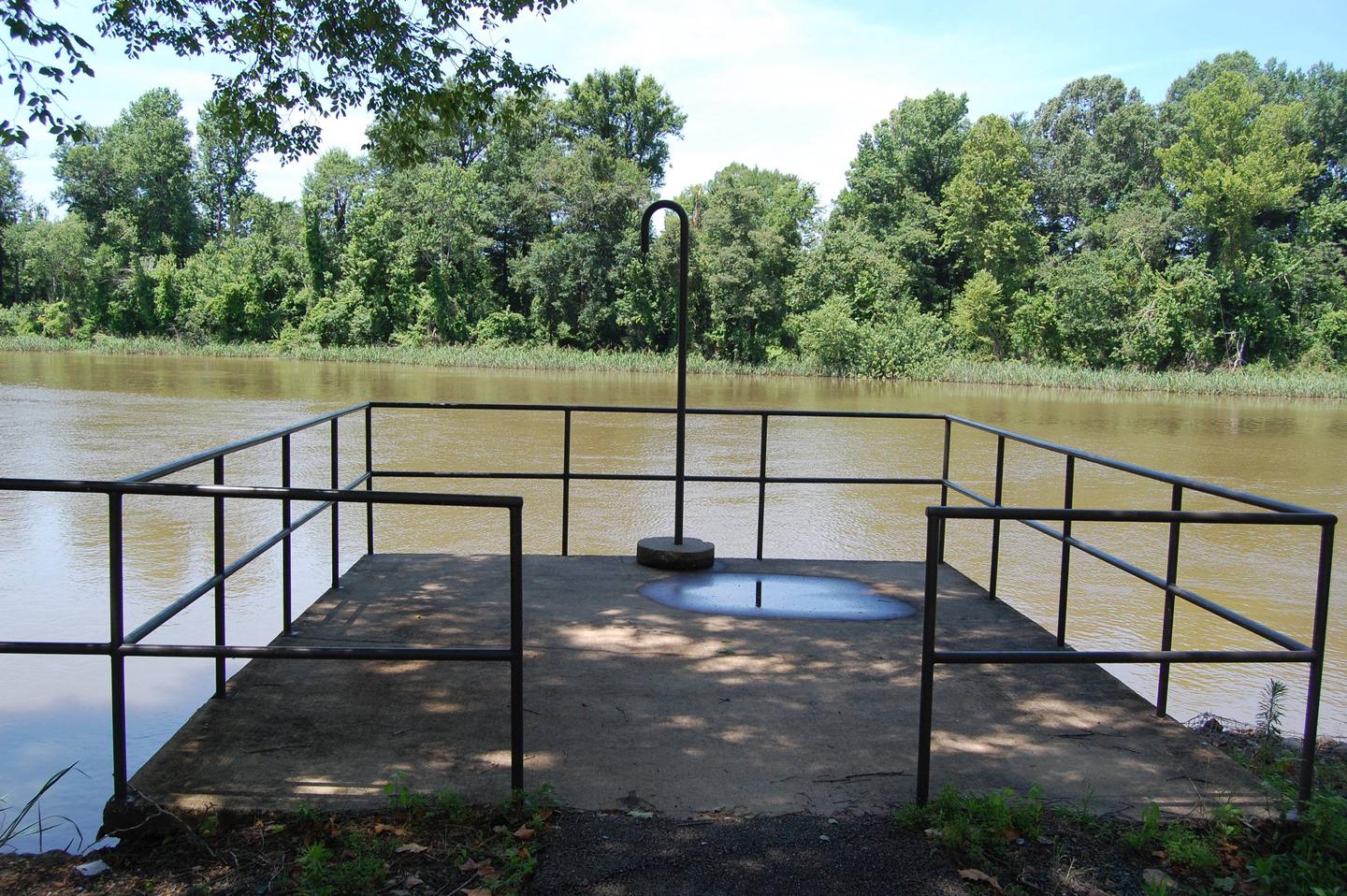
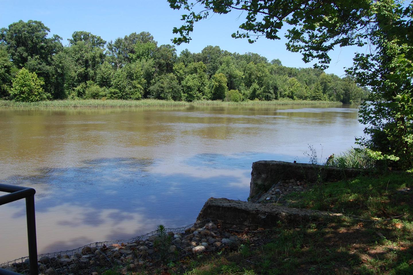
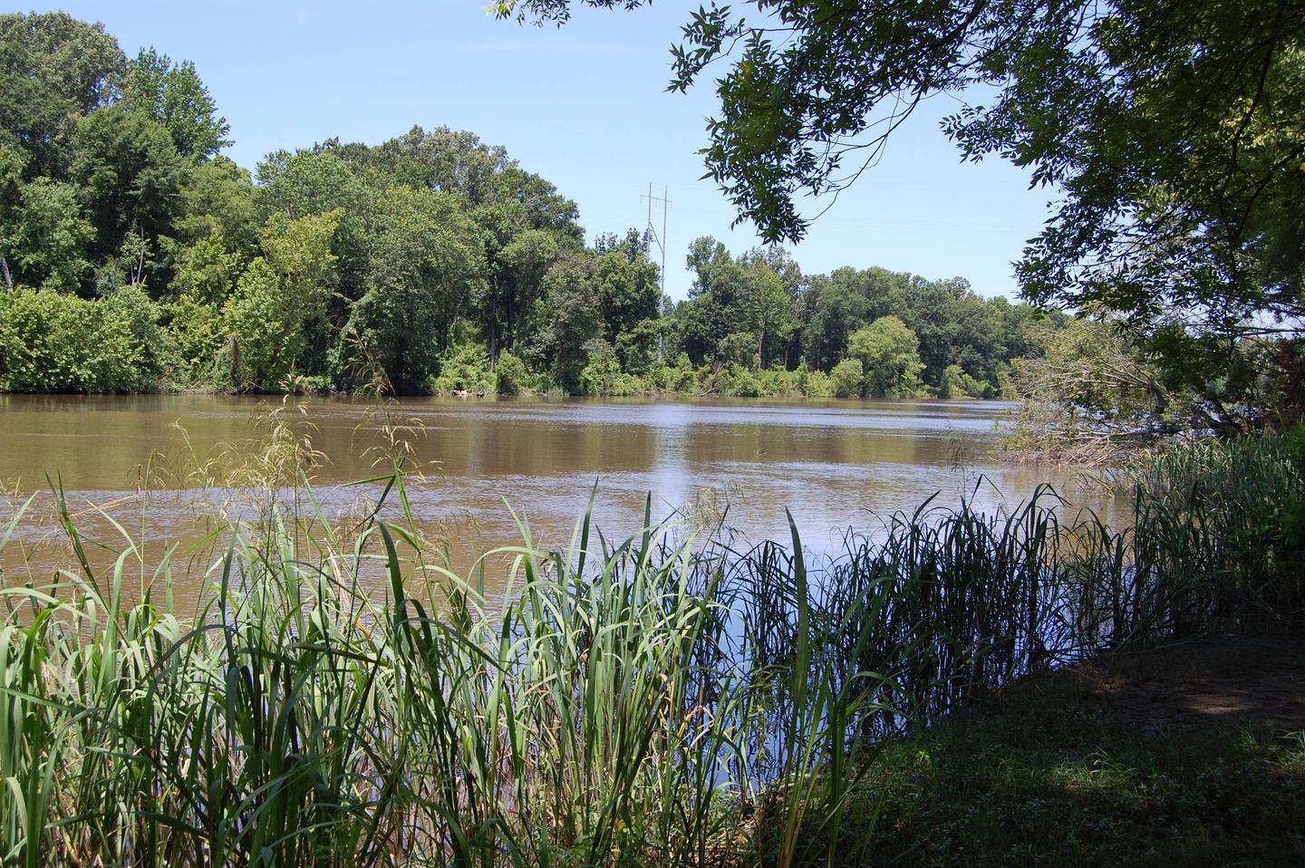
Carden Point Day Use Park sits along the shores of Nimrod Lake and Dam, cradled between Arkansas’ Ouachita and Ozark Mountains.

Recreation

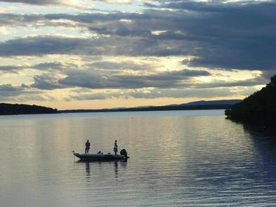
Fishing is one of the most popular activities at the lake, with an abundance of catfish, bluegill, bass and crappie available.

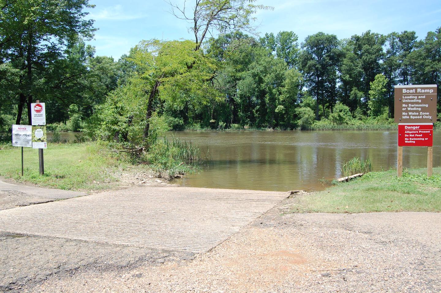
Boating, water skiing and tubing are also popular, with 11 boat ramps conveniently located around the lake, however, skiing and tubing are only allowed from the tip of Carden Point eastward toward the dam because areas west of there are too hazardous.

Visitors are likely to spot white-tailed deer, eastern wild turkey, bobwhite quail, squirrel, rabbit, fox, mink, black bear, dove and waterfowl in the area. Seasonal hunting is also permitted throughout the lake, except in or near recreation areas.

Facilities

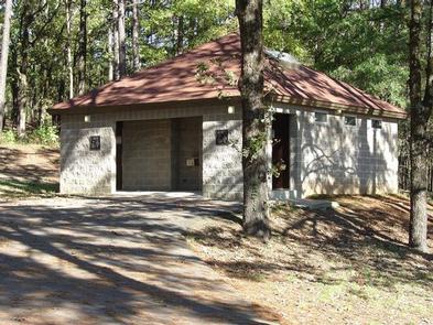
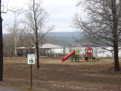
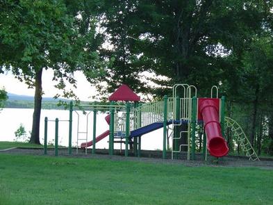
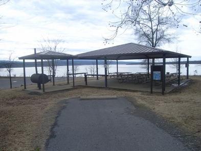
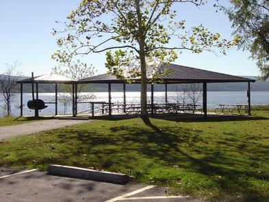
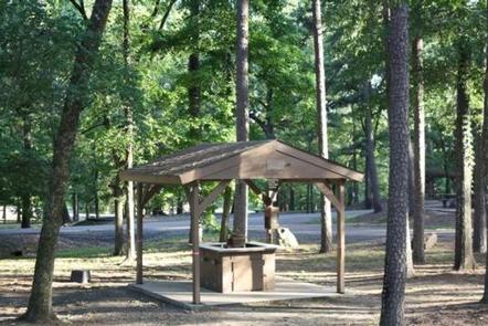
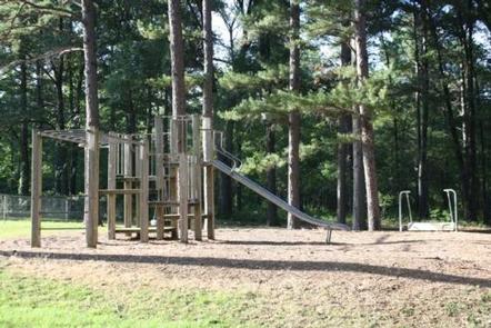
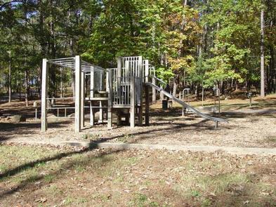
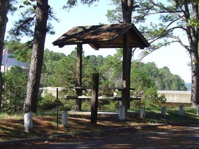
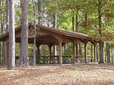
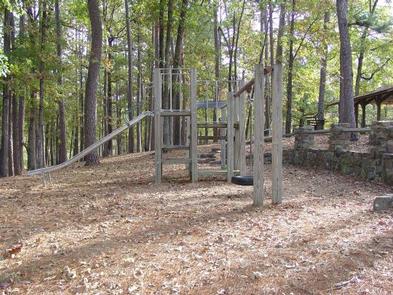
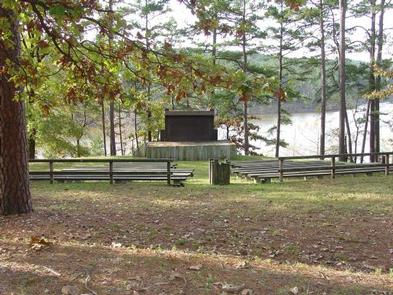
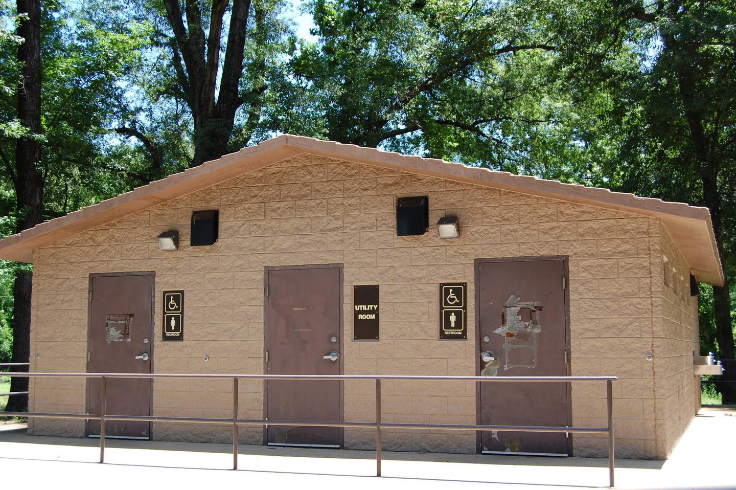
Carden Point features a large day use group picnic shelter, with drinking water, grills and tables. A playground, horseshoe pit and swimming beach make the area ideal for large parties or family functions.

Natural Features

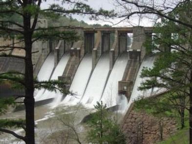
Nimrod Dam was completed in 1942 as part of a comprehensive plan for flood control and development of water resources in the Fourche LaFave River. Although recreation was not part of the initial mission of the dam project, the lake and surrounding 21,000 acres of pristine land have now become a recreational oasis for outdoor enthusiasts.

Nearby Attractions

Nimrod Lake is conveniently located adjacent to State Highway 7, a National Scenic Byway and other nearby points of interest like Petit Jean State Park, Mount Nebo State Park and Hot Springs National Park.

Nearby Activities

  • Boating
  • Camping
  • Fishing
  • Swimming

Gallery

Directions

From Plainview, Arkansas, take Route 60 east for 5.5 miles to the Access Road, then follow signs into campground.

GPS Coordinates

Latitude 34° 57′ 59.0000″ N

Longitude 93° 11′ 28.0000″ W

Categories
Uncategorized

SUNLIGHT BAY

Overview

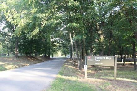
Sunlight Bay Campground sits along the shores of Nimrod Lake just off of the Fourche Lafave river on Wilson Slough. Nimrod Lake is cradled between Arkansas’ Ouachita and Ozark Mountains.

Recreation

Fishing is one of the most popular activities at the lake, with an abundance of catfish, bluegill, bass and crappie available.

Boating, water skiing and tubing are also popular, with 11 boat ramps conveniently located around the lake, however, skiing and tubing are only allowed from the tip of Carden Point eastward toward the dam because areas west of there are too hazardous.

Campers are likely to spot white-tailed deer, eastern wild turkey, bobwhite quail, squirrel, rabbit, fox, mink, black bear, dove and waterfowl in the area. Seasonal hunting is also permitted throughout the lake, except in or near recreation areas.

Facilities

With 29 spacious and modern campsites and one large day use group picnic shelter, Sunlight Bay Campground has plenty of room for the family. Two boat ramps and playground are also provided.

Natural Features

Nimrod Dam was completed in 1942 as part of a comprehensive plan for flood control and development of water resources in the Fourche LaFave River. Although recreation was not part of the initial mission of the dam project, the lake and surrounding 21,000 acres of pristine land have now become a recreational oasis for outdoor enthusiasts.

Nearby Attractions

Nimrod Lake is conveniently located adjacent to State Highway 7, a National Scenic Byway and other nearby points of interest like Petit Jean State Park, Mount Nebo State Park and Hot Springs National Park.

Nearby Activities

  • Boating
  • Camping
  • Fishing

Gallery

Directions

From Plainview, Arkansas, take Highway 28 west for a quarter mile, then follow signs to the campground.

GPS Coordinates

Latitude 34° 57′ 16.9999″ N

Longitude 93° 18′ 14.0000″ W
Categories
Uncategorized

RIVER ROAD

Overview

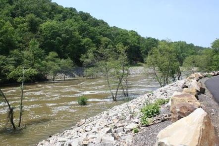
River Road Campground sits along the shores of Fourche LaFave River and Nimrod Dam, cradled between Arkansas’ Ouachita and Ozark Mountains.

Visitors are greeted with shaded campsites, beautiful scenery and many outdoor recreation opportunities. Nimrod Lake provides the ideal spot to get away from it all, relax and enjoy yourself.

Recreation

Fishing is one of the most popular activities at the lake, with an abundance of crappie, largemouth bass, catfish and bream available.

Boating, water skiing and tubing are also popular, with 11 boat ramps conveniently located around the lake, however, skiing and tubing are only allowed from the tip of Carden Point eastward toward the dam because areas west of there are too hazardous.

Campers are likely to spot white-tailed deer, eastern wild turkey, bobwhite quail, squirrel, rabbit, fox, mink, black bear, dove and waterfowl in the area. Seasonal hunting is also permitted throughout the forested area around the lake, except in or near recreation areas.

Facilities

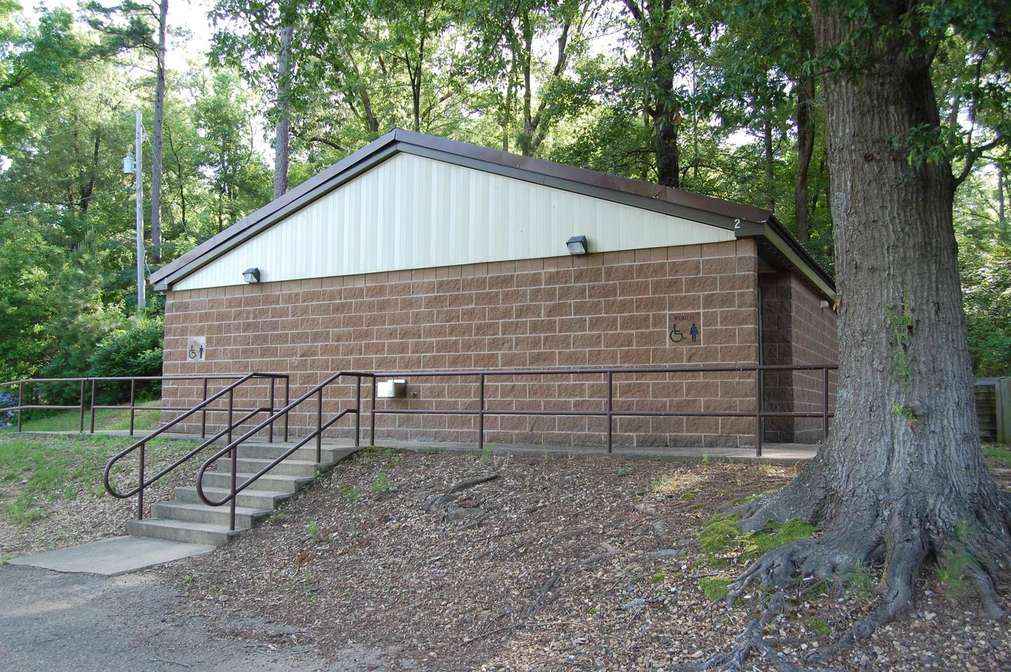
With 21 spacious and modern campsites (15 campsites in the River Road Loop and 6 campsites in the Project Point Loop) and one large day use group picnic shelter, River Road Campground has plenty of room for the family. A boat ramp into the river and playground are also provided.

Natural Features

Nimrod Dam was completed in 1942 as part of a comprehensive plan for flood control and development of water resources in the Fourche LaFave River. Although recreation was not part of the initial mission of the dam project, the lake and surrounding 21,000 acres of pristine land have now become a recreational oasis for outdoor enthusiasts.

Nearby Attractions

Nimrod Lake is conveniently located adjacent to State Highway 7, a National Scenic Byway and other nearby points of interest like Petit Jean State Park, Mount Nebo State Park and Hot Springs National Park.

Nearby Activities

  • Boating
  • Camping
  • Fishing

Gallery

Directions

From Ola, Arkansas, take Route 7 south for 9 miles to the Access Road and follow the signs to the campground.

GPS Coordinates

Latitude 34° 57′ 1.0001″ N

Longitude 93° 9′ 22.0000″ W
Categories
Uncategorized

QUARRY COVE

Overview

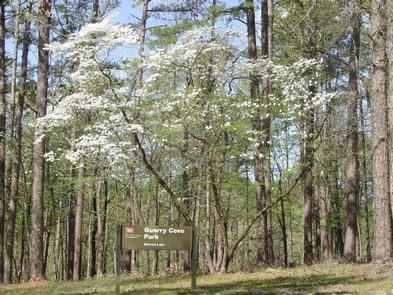
Quarry Cove Campground sits along the shores of Nimrod Lake and Dam, cradled between Arkansas’ Ouachita and Ozark Mountains.

Visitors are greeted with shaded campsites, beautiful scenery and many outdoor recreation opportunities. Nimrod Lake provides the ideal spot to get away from it all, relax and enjoy yourself.

Recreation

Fishing is one of the most popular activities at the lake, with an abundance of catfish, bluegill, bass and crappie available.

Boating, water skiing and tubing are also popular, with 11 boat ramps conveniently located around the lake, however, skiing and tubing are only allowed from the tip of Carden Point eastward toward the dam because areas west of there are too hazardous.

Campers are likely to spot white-tailed deer, eastern wild turkey, bobwhite quail, squirrel, rabbit, fox, mink, black bear, dove and waterfowl in the area. Seasonal hunting is also permitted throughout the lake, except in or near recreation areas.

Facilities

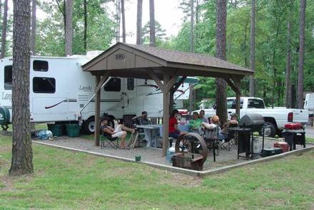
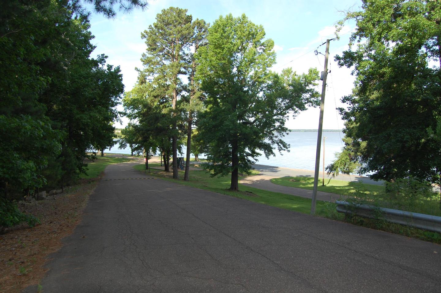
With 31 spacious and modern campsites and one large day use group picnic shelter, Quarry Cove Campground has plenty of room for the family. A swimming beach, boat ramp and playground are also provided.

Natural Features

Nimrod Dam was completed in 1942 as part of a comprehensive plan for flood control and development of water resources in the Fourche LaFave River. Although recreation was not part of the initial mission of the dam project, the lake and surrounding 21,000 acres of pristine land have now become a recreational oasis for outdoor enthusiasts.

Nearby Attractions

Nimrod Lake is conveniently located adjacent to State Highway 7, a National Scenic Byway and other nearby points of interest like Petit Jean State Park, Mount Nebo State Park and Hot Springs National Park.

Nearby Activities

  • Boating
  • Camping
  • Fishing
  • Swimming site

Gallery

Directions

From Ola, Arkansas, take Route 7 south for 9 miles. Turn west onto US-60, and continue for .5 miles and follow signs into campground.

GPS Coordinates

Latitude 34° 57′ 22.0000″ N

Longitude 93° 9′ 56.0002″ W

Categories
Uncategorized

CARTER COVE

Overview

Carter Cove Campground sits along the shores of Nimrod Lake and Dam, cradled between Arkansas’ Ouachita and Ozark Mountains.

Visitors are greeted with shaded campsites, beautiful scenery and many outdoor recreation opportunities. Nimrod Lake provides the ideal spot to get away from it all, relax and enjoy yourself.

Recreation

Fishing is one of the most popular activities at the lake, with an abundance of catfish, bluegill, bass and crappie available.

Boating, water skiing and tubing are also popular, with 11 boat ramps conveniently located around the lake, however, skiing and tubing are only allowed from the tip of Carden Point eastward toward the dam because areas west of there are too hazardous.

Campers are likely to spot white-tailed deer, eastern wild turkey, bobwhite quail, squirrel, rabbit, fox, mink, black bear, dove and waterfowl in the area. Seasonal hunting is also permitted throughout the lake, except in or near recreation areas.

Facilities

With 34 spacious and modern campsites and one large day use group picnic shelter, Carter Cove Campground has plenty of room for the family. A swimming beach, boat ramp and playground are also provided.

Natural Features

Nimrod Dam was completed in 1942 as part of a comprehensive plan for flood control and development of water resources in the Fourche LaFave River. Although recreation was not part of the initial mission of the dam project, the lake and surrounding 21,000 acres of pristine land have now become a recreational oasis for outdoor enthusiasts.

Nearby Attractions

Nimrod Lake is conveniently located adjacent to State Highway 7, a National Scenic Byway and other nearby points of interest like Petit Jean State Park, Mount Nebo State Park and Hot Springs National Park.

Nearby Activities

  • Boating
  • Camping
  • Fishing
  • Swimming site

Gallery

Directions

From Plainview, Arkansas, take Route 60 for 3 miles east to the Access Road. Continue 1 mile south and follow signs into campground.

GPS Coordinates

Latitude 34° 57′ 40.0000″ N

Longitude 93° 14′ 19.0000″ W
Categories
Uncategorized

BEARD’S BLUFF PARK (AR)

Overview

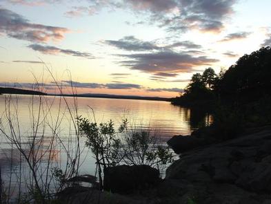
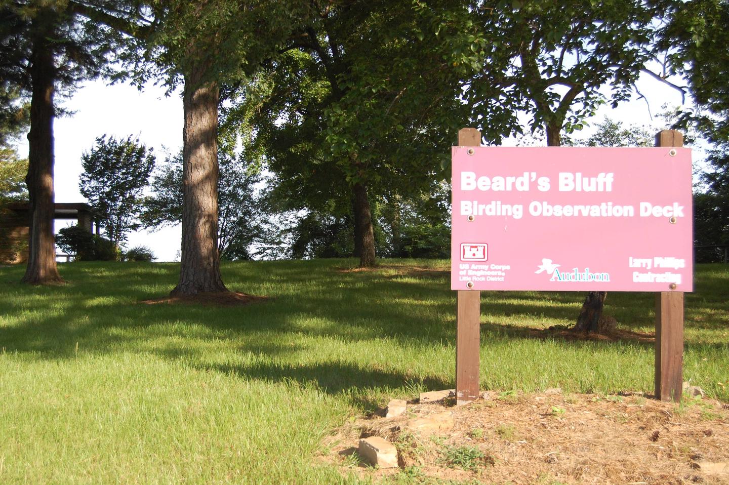
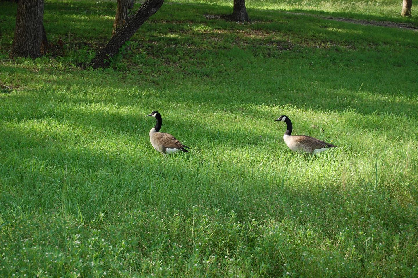
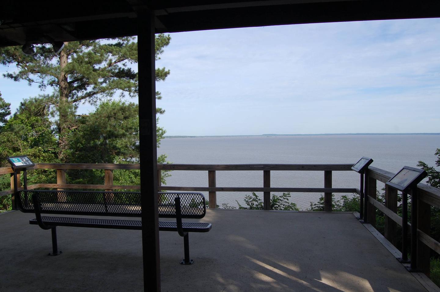
Beard’s Bluff is located 13 miles east of Ashdown on State Highway 32. It is a bird watcher’s paradise with a birding overlook and access to the best sunset viewing on the lake.

Recreation

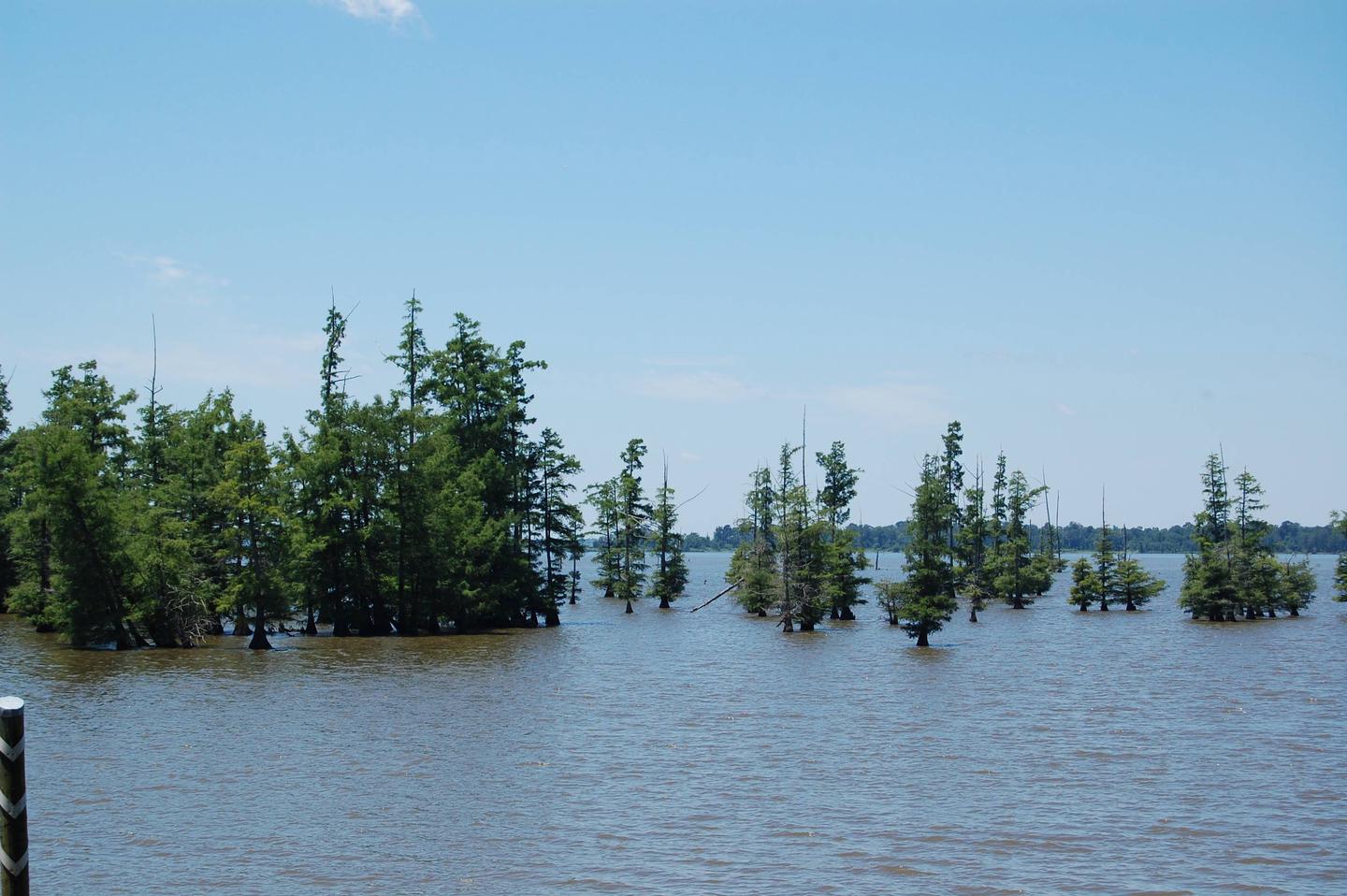
The campground offers open water access to the lake and Little River. The area is made navigable by boat lanes which mark the river and other designated waterways through the lake. Outside of these channels is submerged timber and aquatic vegetation that appeal to anglers and duck hunters alike. Millwood Lake is home to over 300 species of birds including the American Bald Eagle and Great White Pelicans, many of which can be found in the Beard’s Bluff area.

Facilities

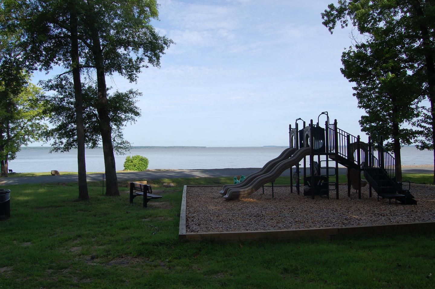
The campground contains lake side campsites as well as those not located directly on the lake but with a lake view. Flush toilets, showers, and potable water are located throughout the campground. The facility also offers one centrally located sewage dump station. Campsites are equipped with picnic tables, grills, fire rings, 30/50 amp electricity, water hydrants, and lantern poles.

Natural Features

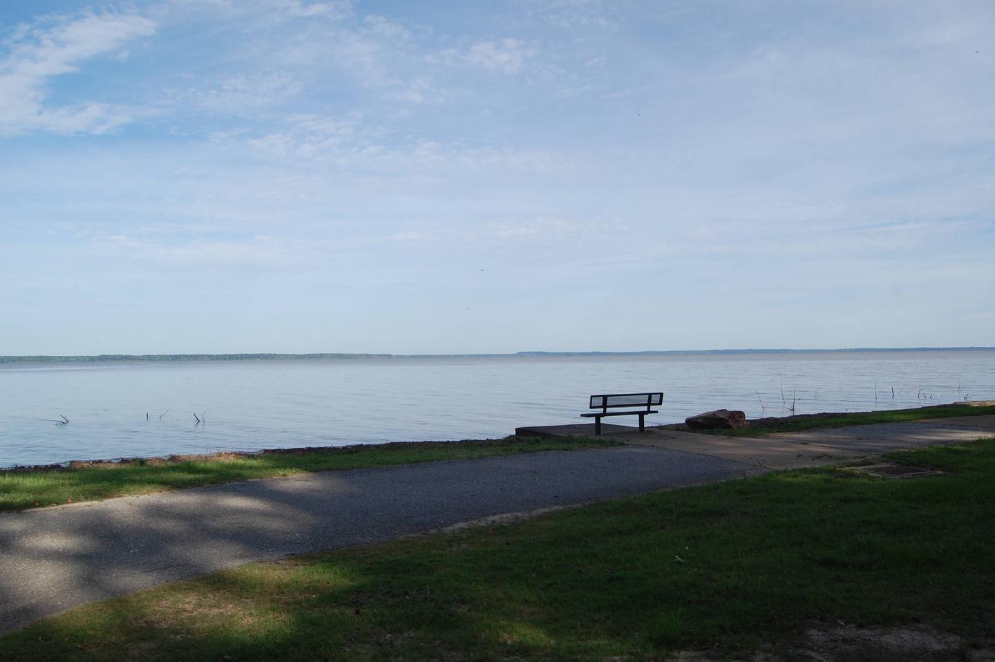
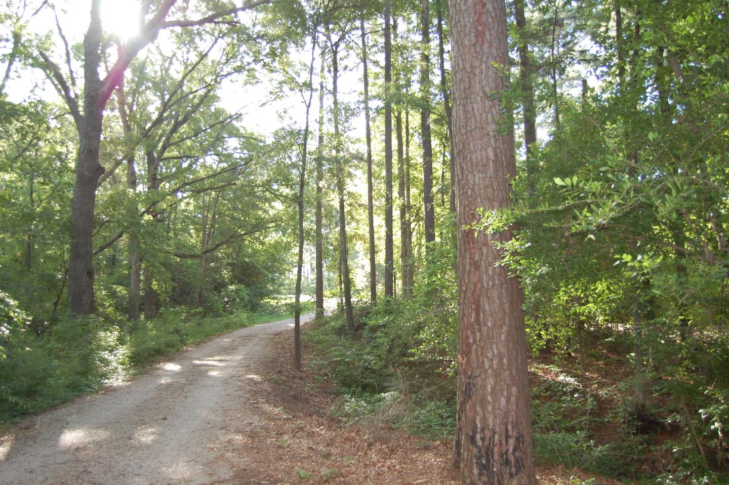
The campground is located directly on Millwood Lake with lake views from most of the campsites. Bluffs overlook the lake and the area is surrounded by a variety of dense forest.

Nearby Activities

  • Boating
  • Camping
  • Fishing
  • Wildlife viewing

Gallery

Directions

Beard’s Bluff Park is located 13 miles east of Ashdown on State Highway 32. When driving from Ashdown, cross Millwood Dam and take the second left.

GPS Coordinates

Latitude 33° 42′ 21.0701″ N

Longitude 93° 56′ 7.2600″ W
Categories
Uncategorized

COTTONSHED PARK (AR)

Overview

Cottonshed Park is located off the beaten path, eight miles southwest of Mineral Springs and Tollette. It is a quiet, wooded area with access to some of the best fishing on Millwood Lake.

Recreation

The campground is located on Millwood Lake with direct access to the Saline River. The area is made navigable by boat lanes which mark the river and other man made paths through the lake. Outside of these channels is submerged timber and aquatic vegetation that entice anglers and duck hunters to the area. Millwood Lake is home to over 300 species of birds including the American Bald Eagle and Great White Pelicans, many of which can be found in the Cottonshed area.

Facilities

The campground contains lake side campsites as well as those not located directly on the lake but with a lake view. Flush toilets, showers, and potable water are located throughout the campground. The facility also offers one centrally located sewage dump station. Campsites are equipped with picnic tables, grills, fire rings, 30/50 amp electricity, water hydrants and lantern poles.

Natural Features

The campground is located directly on Millwood Lake with lake views from most of the campsites. The surrounding landscape is flat, low land areas with dense timber.

Nearby Attractions

Old Washington Historic State Park is located 25 miles northeast of the park.

Nearby Activities

  • Boating
  • Camping
  • Fishing
  • Wildlife viewing

Gallery

Directions

Approximately 5 miles south of Mineral Springs on Highway 355, turn right / west onto Bright Star Road travel approximately 3 miles, turn left / south onto Cottonshed Lane.

OR

North on Hwy 355 approximately 5 miles, turn left / west onto Bright Star Road travel approximately 3 miles, turn left / south onto Cottonshed Lane.

GPS Coordinates

Latitude 33° 47′ 47.1901″ N

Longitude 93° 57′ 40.4302″ W

Categories
Uncategorized

WHITE CLIFFS PARK

Overview

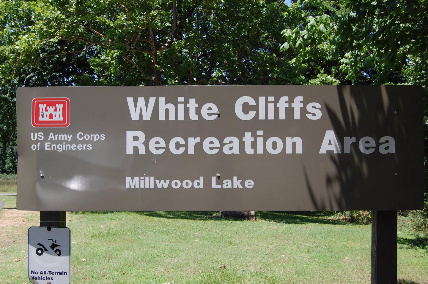
White Cliffs Campground is located on the east bank of the Little River feeding into Millwood Lake in southwest Arkansas.

Recreation

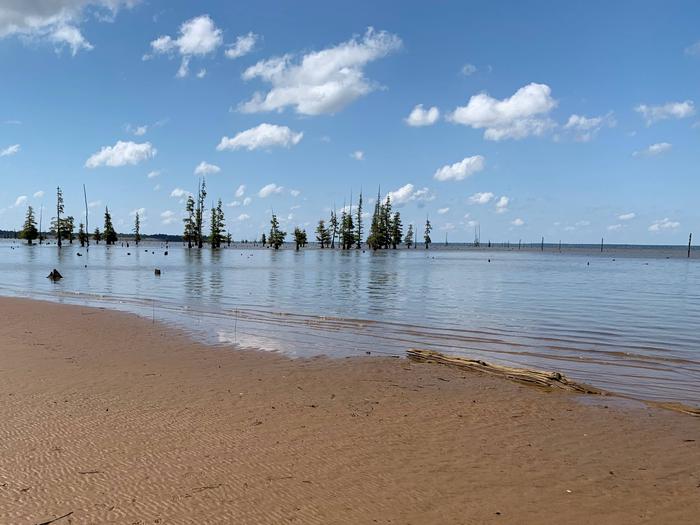
Visitors to this area enjoy fishing, duck hunting and relaxing in this peaceful campground. This area affords a great diversity of fish and wildlife habitat. Millwood Lake is one of the top fishing lakes in the country. Some 20,000 acres of submerged timber provide excellent fish habitat for a wide variety of fish including largemouth, white striped and spotted bass, channel and flathead catfish, bluegill, sunfish, buffalo carp and drum.

Facilities

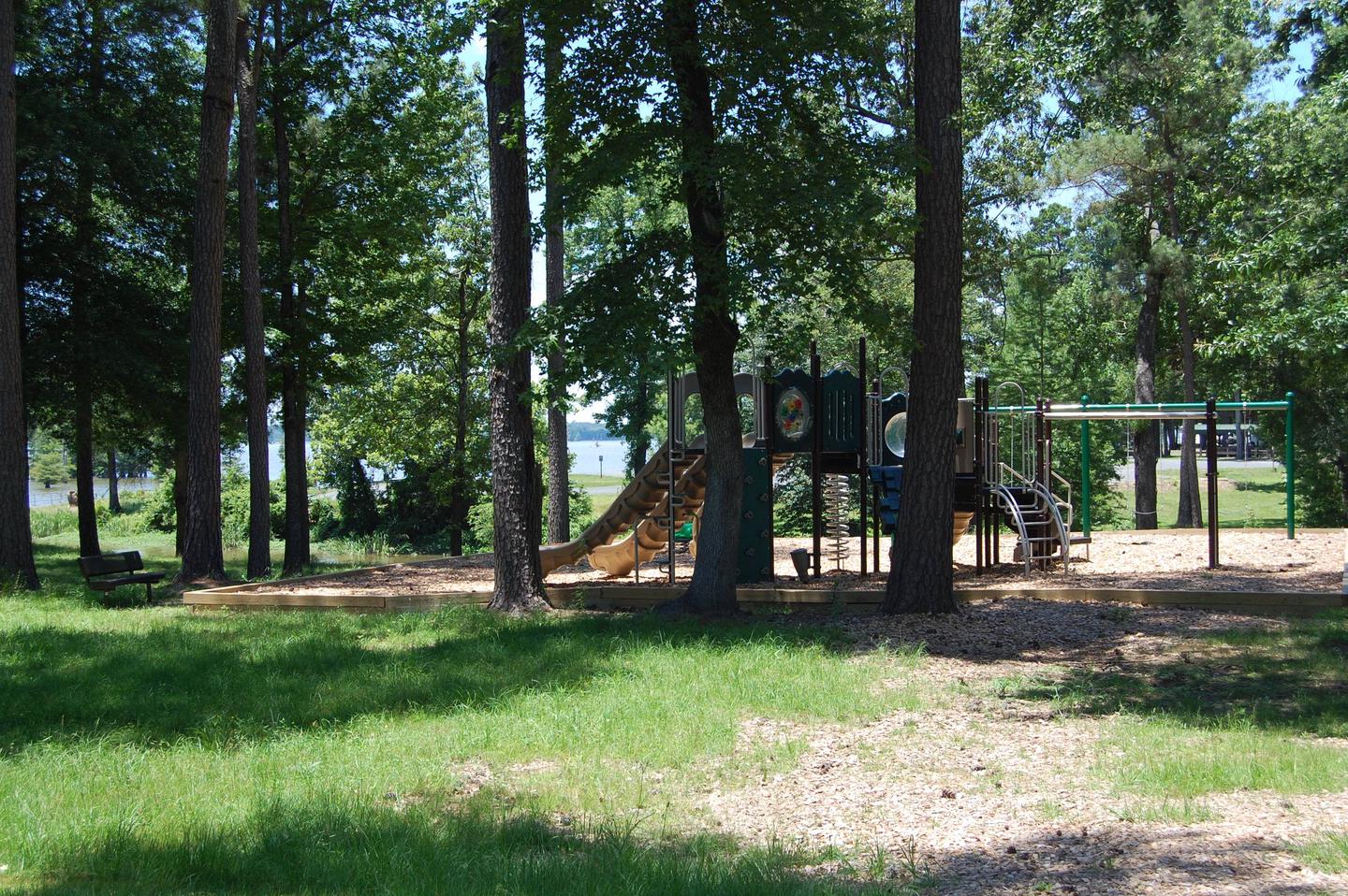
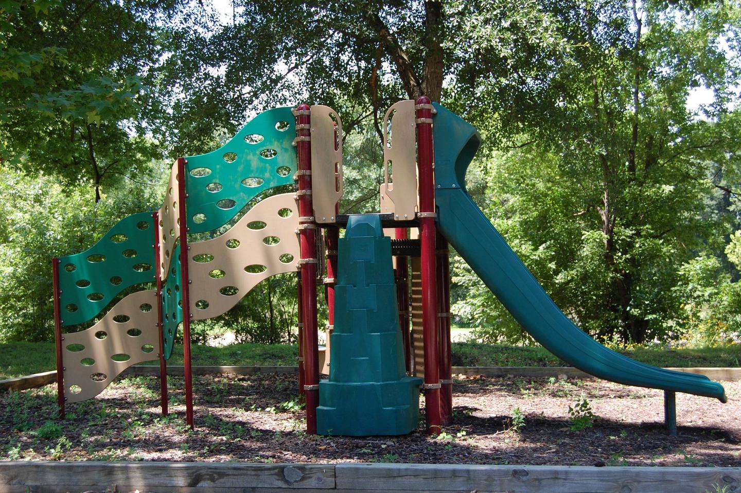
White Cliffs Campground offers 25 paved sites with water and electricity, flush toilets, showers, and a trailer dump station. Area amenities also include a boat ramp, bank-fishing access, a playground and adjacent protected natural area with hiking trail.

Natural Features

White Cliffs Campground is located on the Little River and within walking distance of White Cliffs Natural Area. The natural area includes a 100-foot high chalk bluff over the Little River, from which the area derives its name. The area includes the largest, and least disturbed Arkansas occurrences of chalk woodland. A nature trail meanders through unique topography characterized by knolls, ridges and ravines.

Nearby Attractions

Nearby towns include Ashdown and Nashville, Arkansas, and Texarkana, Texas.

Nearby Activities

  • Boating
  • Camping
  • Fishing

Gallery

Directions

Located six miles south of Cowlingsville on State Highway 317.

GPS Coordinates

Latitude 33° 45′ 54.0000″ N

Longitude 94° 3′ 31.0000″ W
Categories
Uncategorized

Cottonshed

This recreation area is part of Millwood Lake

Directions

GPS Coordinates

Latitude 33° 47′ 44.5005″ N

Longitude 93° 57′ 46.1157″ W
Categories
Uncategorized

Saratoga

This recreation area is part of Millwood Lake

Directions

GPS Coordinates

Latitude 33° 44′ 10.6898″ N

Longitude 93° 55′ 12.8178″ W