This recreation area is part of Ozark Lake
Directions
GPS Coordinates
Latitude 35° 27′ 56.2392″ N
Longitude 93° 56′ 18.1617″ W
This recreation area is part of Ozark Lake
Latitude 35° 27′ 56.2392″ N
Longitude 93° 56′ 18.1617″ W
This recreation area is part of Ozark Lake
Latitude 35° 29′ 8.1560″ N
Longitude 94° 3′ 43.0559″ W
Aux Arc Campground sits on the shores of Ozark Lake in the picturesque Arkansas River Valley.
"Aux Arc" is a name that originated with French explorers when they mapped the territory. The term means "the big bend," describing the bend in the Arkansas River. Over time, the name was simplified to "Ozark," thus the name for Ozark Lake.
Boating, hiking and picnicking are favorites with locals and visitors alike. Anglers find success with both boat and bank fishing, and popular fish species include catfish, bream, crappie and bass.
Public land surrounding the lake yields deer, quail, squirrels, rabbits, dove, wild turkey, ducks and geese for hunting season.
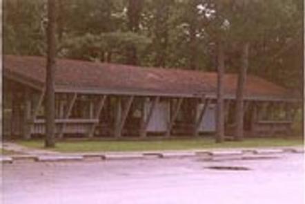
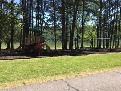
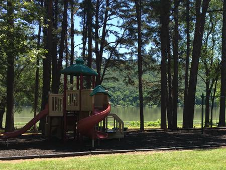
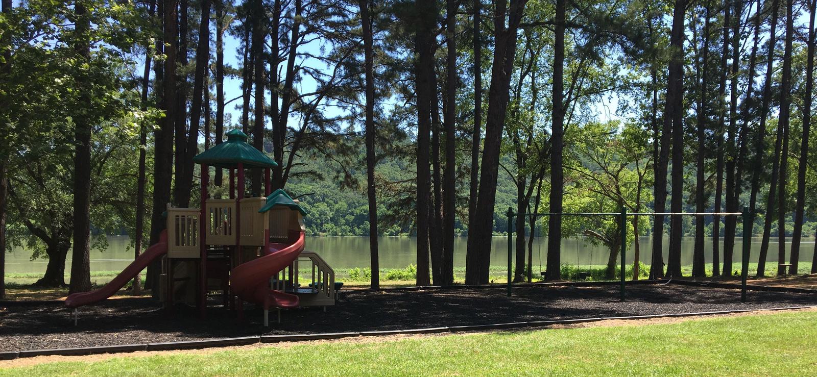
Aux Arc Campground offers spacious, shady campsites with electric and water hookups. Three picnic shelters, with electricity, can be reserved as well. Additional amenities include a dump station, two playgrounds, hot showers and a boat ramp.
Ozark Lake extends 36 miles along the Arkansas River. The shoreline of the lake varies from steep bluffs and tree-lined banks to open farm lands and level fields.
Two of the largest wineries in the state are located in the nearby town of Altus. Here, large grape vineyards reminiscent of the European Rhineland dot the countryside.
From Ozark, Arkansas, take SR-23 south for 1.5 miles to SR-309. Turn left and follow signs to the park.
Latitude 35° 28′ 13.0001″ N
Longitude 93° 49′ 5.0002″ W
This recreation area is part of Norfork Lake
Latitude 36° 22′ 25.8561″ N
Longitude 92° 15′ 8.6298″ W
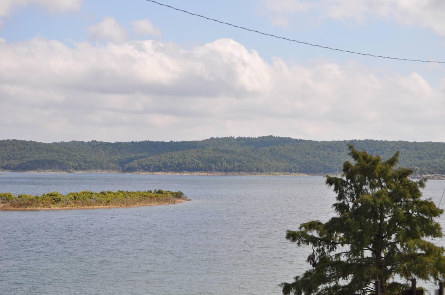
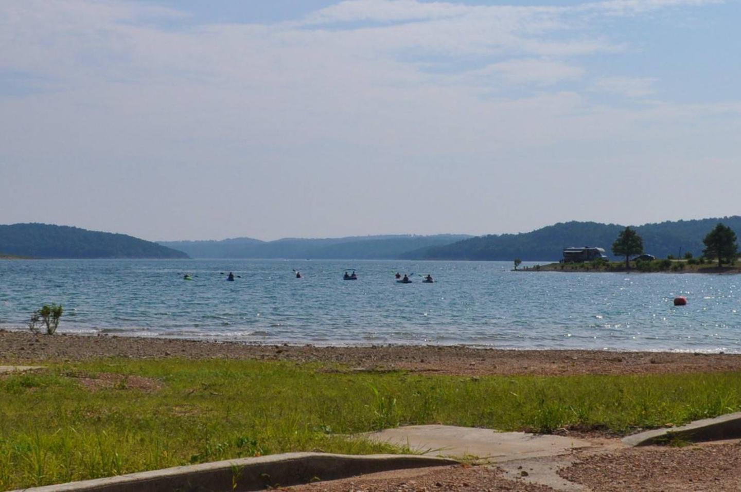
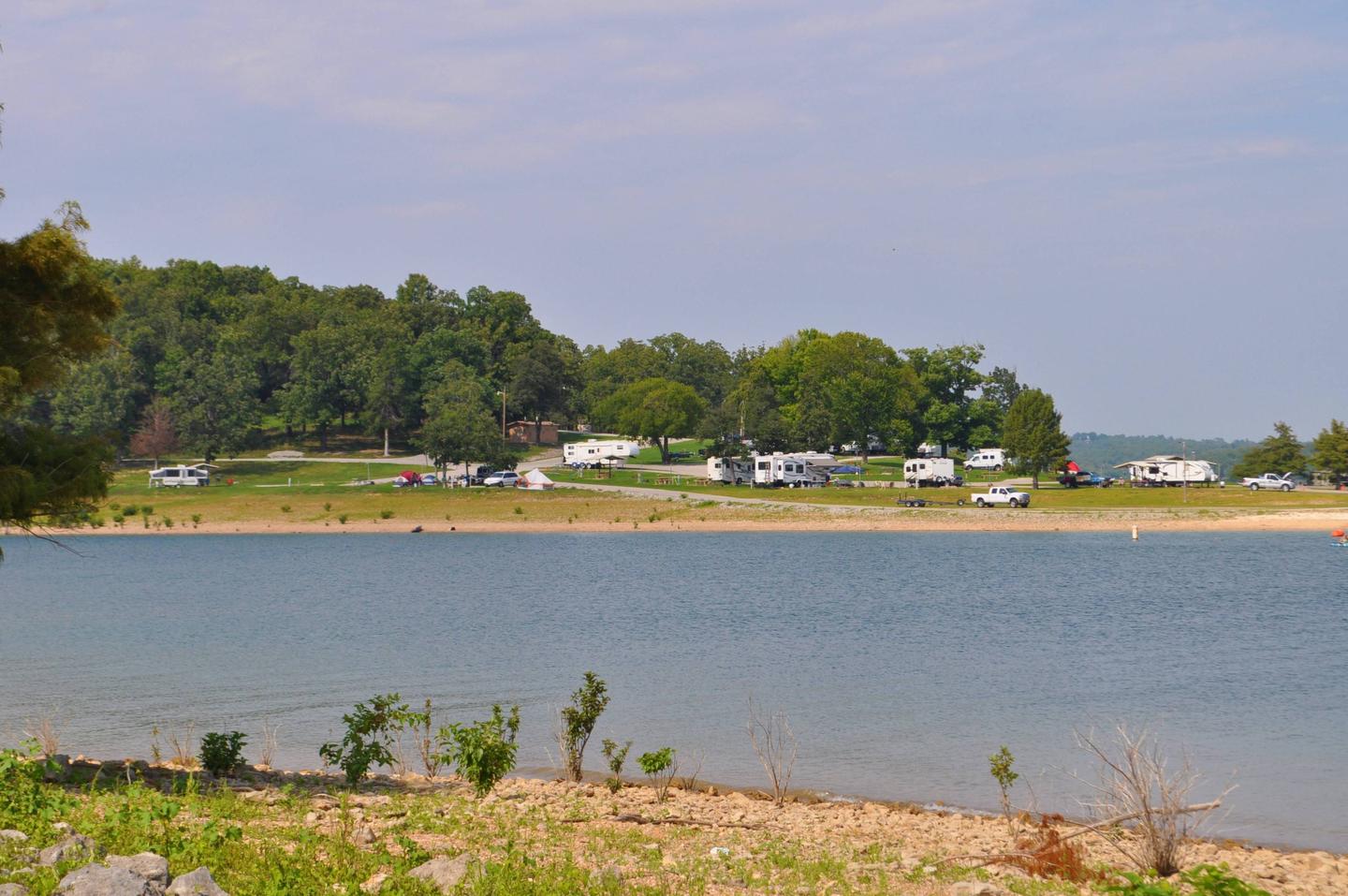
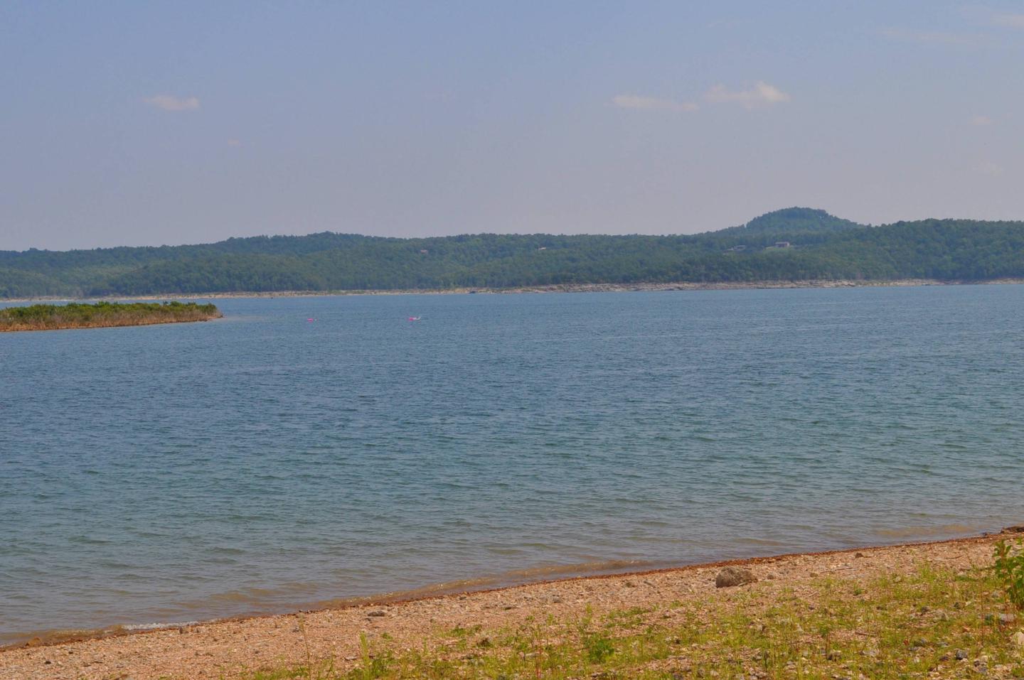
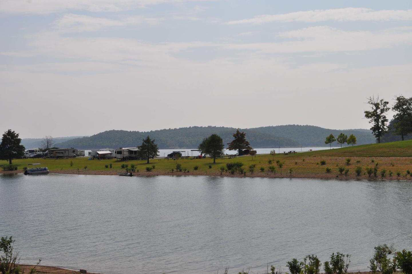
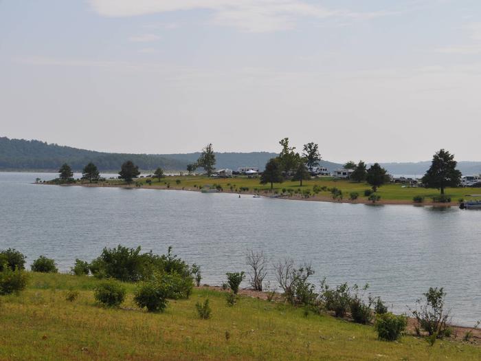
Robinson Point is one of the most popular parks in the central portion of Norfork Lake. The 102 campsites are sprawled across two peninsulas, so waterfront campsites are plentiful.
The hilly lake region is a playground for visitors young and old, with water and land activities galore.
Swimming, hiking and all types of boating are favorite pastimes for lake-goers. Coves are ideal for water skiers while the breezy, open areas provide excellent conditions for sailing.
In-season hunting is also popular here.
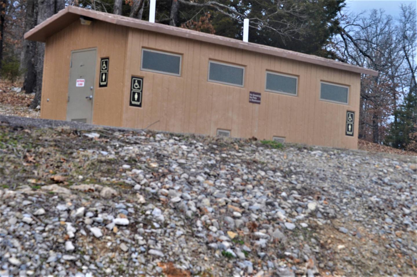
The 25 acres of campground provide many modern conveniences for campers. Sites are equipped with electric hookups and access to flush toilets and showers.
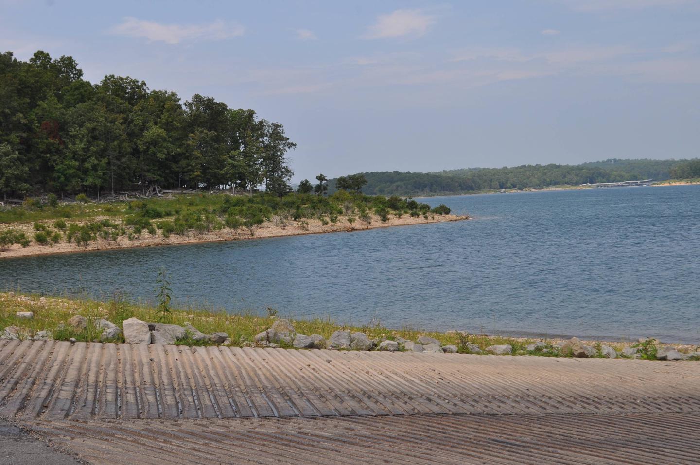
A boat ramp and swim beach offer convenient access to the lake.
Norfork Lake, a 22,000-acre recreation lake, stems from the North Fork River in northern Arkansas. The lake is about 25 miles east of Bull Shoals Lake, and cuts through the Ozark Mountains.
The Ozarks Range, in geological terms, is a heavily eroded plateau. It was shaped and carved by hundreds of streams over several thousand years, creating beautiful rugged terrain.
Head south to the Ozark National Forest to explore 1.2 million acres of protected Ozark terrain.
There, visitors can tour the Blanchard Springs Caverns, a living cave still in the process of formation.

From Mountain Home, AR, travel 9 mi E on US 412/62; turn right onto CR 279/Robinson Pt. Rd.
for 3 mi to park entrance. Follow signs into campground.
Latitude 36° 21′ 10.0001″ N
Longitude 92° 14′ 21.9998″ W
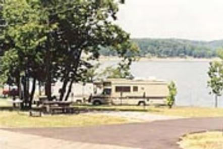
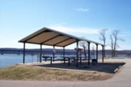
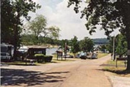
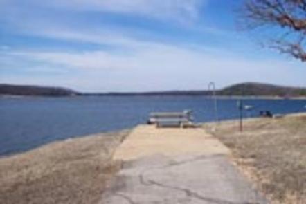
Henderson Park is surrounded by the clear waters of Norfork Lake. Spectacular lake views and plenty of secluded coves for water sports and breezy, open stretches for sailing, make Norfork Lake a popular area for recreationists.
Hiking trails in the area lead nature observers and photographers to picturesque overlooks of the Ozarks. A wide array of fresh water game fish are found in the lake, which is fed by the North Fork River and its tributaries. Bass, walleye, crappie, bream and catfish all make their home here.
The campground offers 36 campsites, all with electric hookups and water available for filling holding tanks. All campsites have a picnic table and campfire ring and grill.
A marina and boat ramp are on hand for easy access to water sports.
Norfork Lake covers 22,000 acres with 550 miles of shoreline. Densely wooded hills and hollows surround the lake in the Ozark Mountains. The North Fork River feeds into the lake, and beyond the dam, extends on to connect with the White River.
Including Henderson Park, there are 19 developed U.S. Army Corps of Engineers’ parks lining the lake for plenty of water sport opportunities.
The Robinson Point National Recreation Trail and the David’s Trail offer beautiful hiking opportunities and are just a short drive away. Drive just over 10 miles to visit the town of Mountain Home, considered one of the best places to live for sportsmen.
From Mountain Home, Arkansas, travel east on US Highway 62/412 10 miles to the town of Henderson. Look for park signs for the park entrance on the left.
Latitude 36° 22′ 35.7301″ N
Longitude 92° 13′ 57.5699″ W
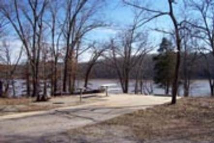
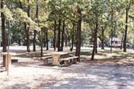
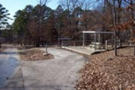
Gamaliel Campground is conveniently located on the Bennetts Bayou area of Norfork Lake. Most sites are shaded beneath tall trees, while others come equipped with canopies to shade the picnic tables.
Norfork Lake boasts plenty of secluded coves for water sports and breezy, open stretches for sailing. There are 19 well-maintained Army Corps of Engineers parks along the lake for bountiful water sport opportunities.
Explore the mile-long nature trail that loops from the campground.
Sailing the open waters makes for an exciting water activity. Scuba diving in the lake is common, attracting divers from neighboring U.S. states.
For visitors interested in fishing, Norfork Lake is stocked annually, and it’s not unheard of to catch striped bass over 40 pounds.
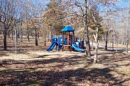
The 64 campsites have electric hookups and drinking water. A boat ramp, playground, swim beach and marina are also on-site.
Most campsites do not have a view of the lake.
Norfork Lake stems from the North Fork River in northern Arkansas. It’s about 25 miles east of Bull Shoals lake, and cuts through the Ozark Mountains.
The Ozarks are made from a heavily eroded plateau, shaped and carved by hundreds of streams over thousands of years. The region attracts a wide array of plants and animals.
Head south to see the Ozark National Forest and head west to see Bull Shoals Lake, a similar man-made lake that’s larger in size and equally entertaining as Norfork.
From Mountain Home, AR, travel 9 miles east on US 412/62, then 5
miles north on SR 101, then 3 miles southeast on CR 42. Follow
signs into campground.
Latitude 36° 25′ 16.0000″ N
Longitude 92° 13′ 19.9999″ W
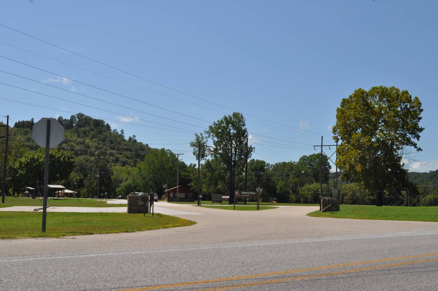
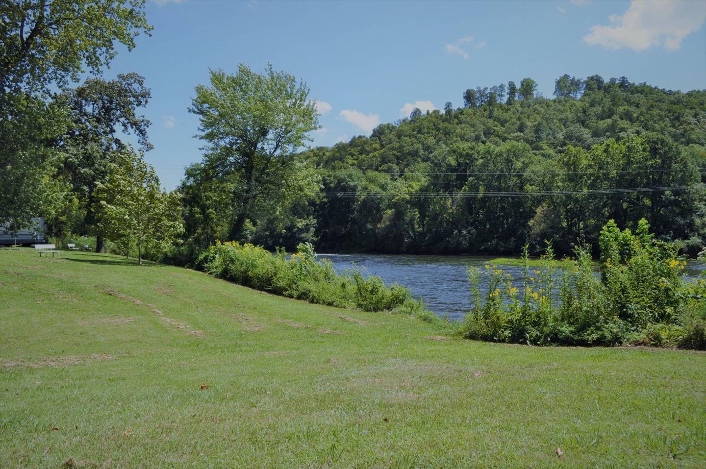
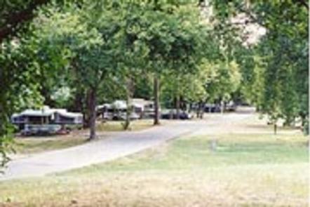
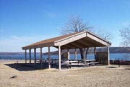
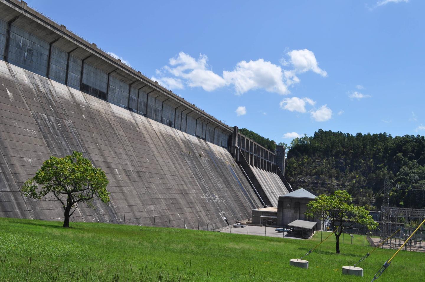
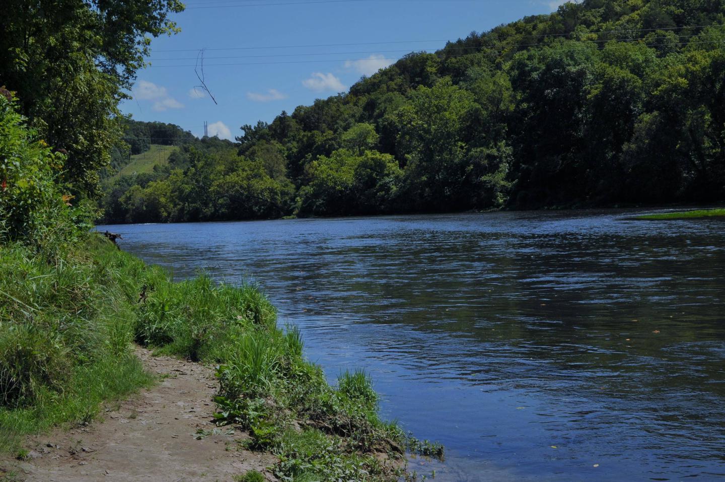
Dam Quarry Campground is an angler’s paradise. Located in northern Arkansas, just downstream of the Norfork Dam, the campground is renowned for its world-class trout fishing.
The Norfork Lake region was one of the state’s first water recreation areas with opportunities like water skiing, canoeing, scuba diving, and of course, fishing.
While fishing is the top-rated activity in the lower river area, kayaking, birding and hiking are also very popular.
The public land around Norfork keeps hunters busy with white-tailed deer, wild turkey, squirrel, rabbit and quail.
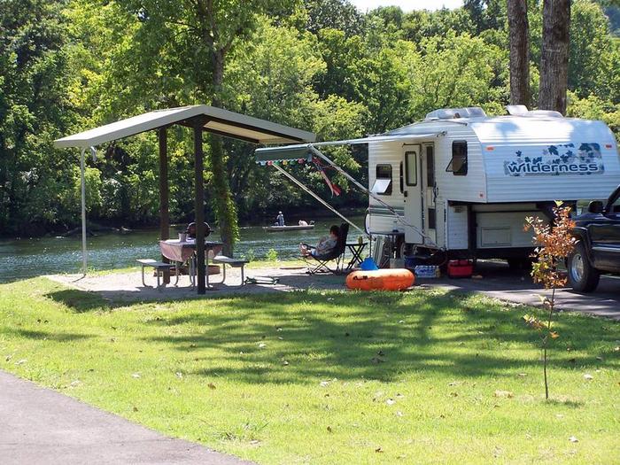
Kids will enjoy the playground and everyone will find fun in the water. A boat ramp is on-site and a marina is located just above the dam. Everything but the group sites have electric hookups.
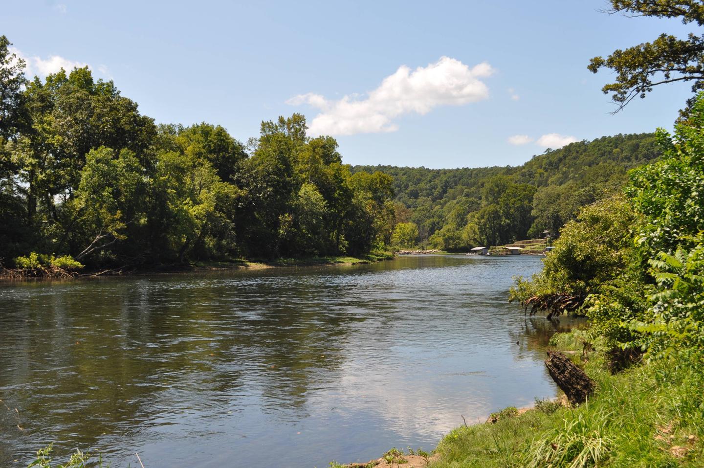
The campground sits at the banks of the North Fork River and Dry Run Creek. The river feeds the popular 22,000-acre Norfork Lake, which is just upstream from Dam Quarry. The site has beautiful views of the forested hills and hollows of the Ozarks.
A short drive south takes visitors to the Ozark National Forest for sightseeing and wildlife spotting. The campground is also just three miles northeast of the small town of Norfork.

From Mountain Home, AR, take State Route 5 south 14 miles to Salesville,
then turn left on State Route 177 for 2 miles. Park is located below
Norfolk Dam. Follow signs into the campground.
Latitude 36° 15′ 29.9999″ N
Longitude 92° 14′ 26.0002″ W
Cranfield Park is surrounded by the clear waters of Norfork Lake. It’s the closest campground to the city of Mountain Home and offers plenty of pleasing views of the lake from its well-shaded river island sites.
Norfork Lake boasts plenty of secluded coves for water sports and breezy, open stretches for sailing. Including Cranfield, there are 19 developed U.S. Army Corps of Engineers parks lining the lake for plenty of water sport opportunities.
Hiking trails in the area lead nature observers and photographers to picturesque overlooks of the Ozarks. A .75-mile nature trail is accessible from the campground.
A wide array of fresh water game fish are found in the lake, which is fed by the North Fork River and its tributaries. Bass, walleye, crappie, bream and catfish all make their home here.
A marina and boat ramp are on hand for easy access to water sports. The 69 campsites have electric hookups, two playgrounds and an amphitheater, among other modern conveniences. Two day-use group shelters are available for reservation.
Norfork Lake covers 22,000 acres with 550 miles of shoreline. Densely wooded hills and hollows surround the lake in the Ozark Mountains.
The North Fork River feeds into the lake, and beyond the dam, extends on to connect with the White River.
The Robinson Point National Recreation Trail is a beautiful hike especially during the fall months, for views of the Ozark Mountains’ changing colors through the seasons.
Drive just over five miles to visit the town of Mountain Home, considered one of the best places to live for sportsmen.
From Mountain Home, AR, travel 5 miles east on US 412/62, turn left onto Cranfield Road (CR 34) for 3 miles to the park entrance. Follow signs into the campground.
Latitude 36° 24′ 16.9999″ N
Longitude 92° 19′ 14.9999″ W
Bidwell Point is tucked below towering oak and pines on the shores of Norfork Lake. Lay on the beach or take the boat out for water skiing on the easily accessible waters of Norfork Lake.
Lake Norfork is home to one of the best striped bass fisheries in Arkansas. Black bass fishing is at its best from September through May, and an increasingly popular sport is night fishing with lights for crappie and White bass.
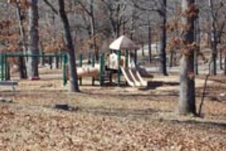
Campers can reserve one of the waterfront sites for continuous, clear views of the lake. The family-friendly campground maintains a large swim beach and a playground.
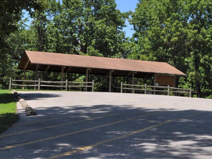
The sites have electric hookups, as does the group shelter. The group picnic shelter can fit up to 200 guests for any large occasion.
The forest-topped Ozarks are actually a heavily eroded plateau, shaped and carved by hundreds of streams over several thousand years.
Norfork Lake is sourced by the North Fork River in northern Arkansas, which winds through the rugged Ozarks before filling up 22,000 acres of Norfork Lake.
Hike the Robinson Point National Recreation Trail for wonderful views of the Ozarks.
Just south of the lake, The Ozark National Forest spans 1.2 million acres.

From Mountain Home, AR, travel 9 miles east on US 412/62, then 2 miles
north on SR 101.
Cross the lake on 101 bridge and take the 1st access road to the right.
Follow signs into campground.
Latitude 36° 23′ 10.0000″ N
Longitude 92° 14′ 15.0000″ W