Overview
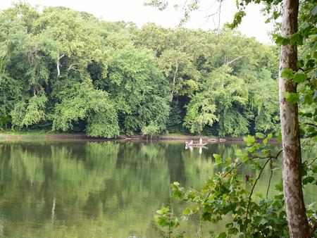
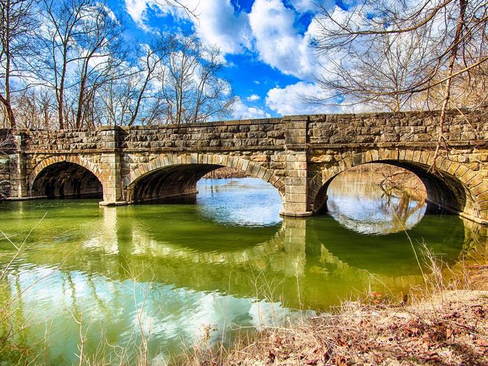
The Antietam Creek Campground is located at Mile 69.4 on the C&O Canal Towpath, a few miles south of Shepherdstown on the Maryland side of the Potomac River. The campsites are nestled in the woods between the Canal and the Potomac River and they are a short distance from many recreational opportunities. Fishing, boating and hiking are but a few possibilities while staying at Antietam Creek Campground.
Recreation
Popular activities at Antietam Creek include boating and fishing. Kayaking the creek and surrounding areas during various times of the year are scenic and ever changing. Nearby boat ramps at Dargan Bend and Snyders Landing provide motor boat access to the river. Fishing is also a popular pastime in both the watered sections of the C&O Canal the Potomac River. Be sure to acquire a Maryland Fishing License for those age 16 or older. West Virginia Licenses are approved for fishing in the Potomac only.
Facilities
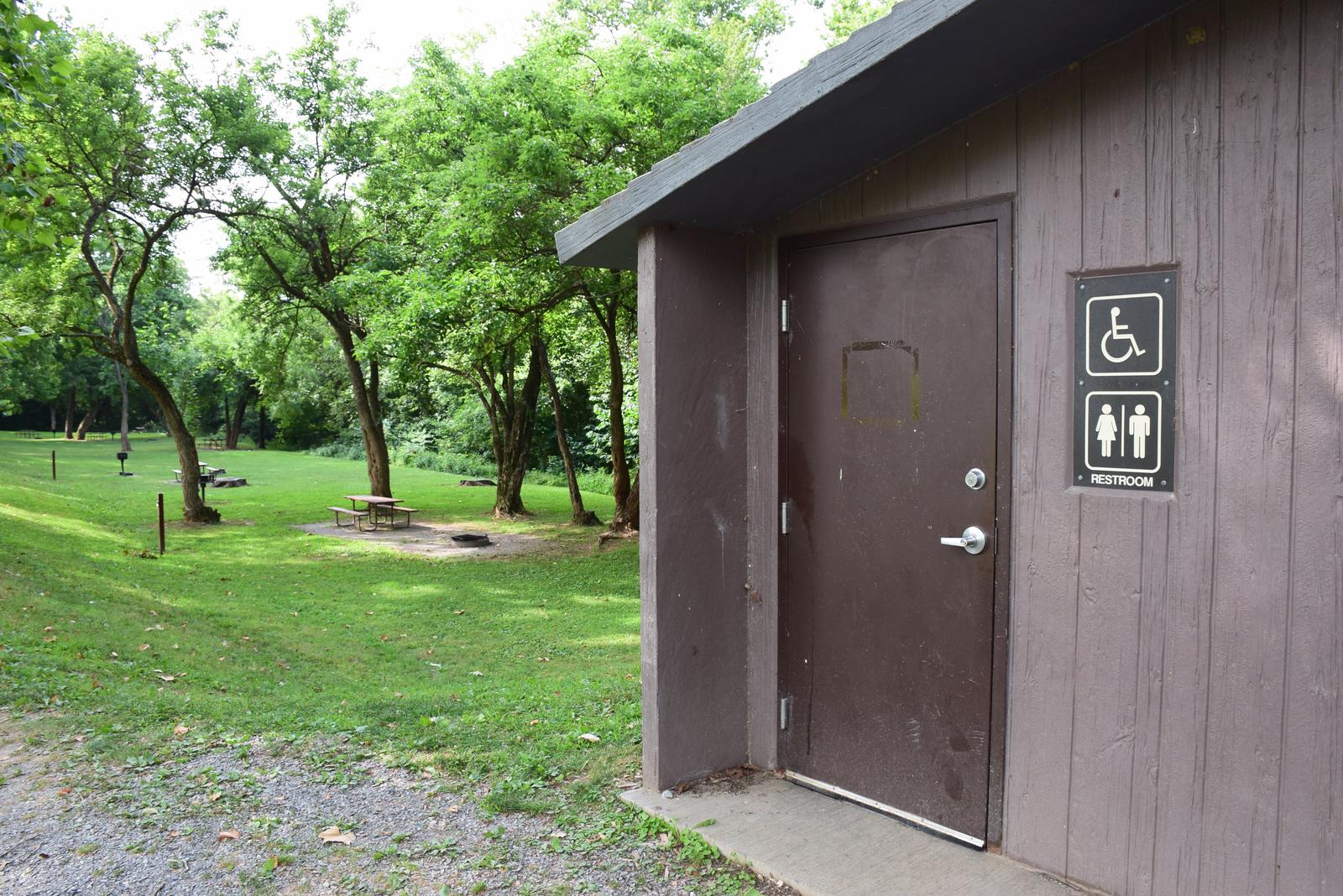
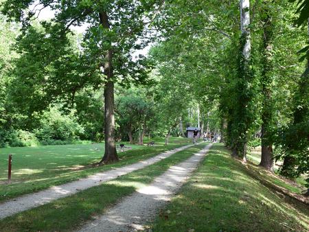
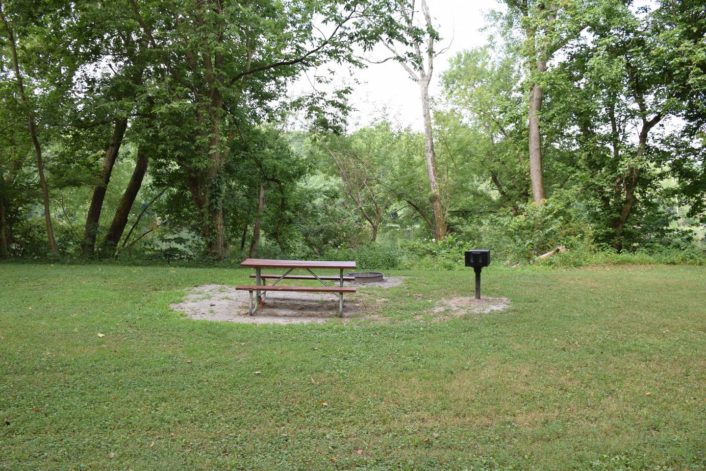
The campground has 20 single campsites each with a picnic table, fire ring and grill. Each campsite will accommodate up to eight campers. Protected pit toilets are located between campsite #6 and campsite #7 adjacent to the towpath. A second set of chemical toilets are available down the towpath. Potable water is along the towpath at pumps (may not be available during cold winter months). No vehicular traffic is allowed on the towpath and access to the campsites is by foot only. Parking is allowed on the shoulder of Canal Rd only.
Natural Features
Antietam Creek Campground is just south of Sharpsburg, MD. Antietam Creek is a typically mild and slow moving creek which feeds into the much larger and faster Potomac River directly adjacent to the campsite. River rise and floods can modify conditions quickly here.
Nearby Attractions
Antietam Battlefield, South Mountain Recreation Area and Harpers Ferry National Historical Park all provide additional hiking and history adventures specifically about the Civil War Era.
Nearby Activities
- Biking
- Camping
- Fishing
- Hiking
Gallery
Directions
From Hagerstown: Take MD-65 to Sharpsburg. Make a right on Main St. Left on Harpers Ferry Road for a few miles. Before you cross the Antietam Creek bridge make a right on Canal Rd. Campsites are across the canal and towpath from Canal Rd.
From West Virginia: Take WV-480 through Shepherdstown across the Potomac River. Make the first right after the bridge on Canal Rd. Follow Canal Rd a few miles until you see the campsites on your right before Antietam Creek.
GPS Coordinates
Latitude 39° 25′ 8.6498″ N
Longitude 77° 44′ 47.5598″ W

