This recreation area is part of Steinhagen Lake
Directions
GPS Coordinates
Latitude 30° 50′ 42.4212″ N
Longitude 94° 9′ 58.5072″ W
This recreation area is part of Steinhagen Lake
Latitude 30° 50′ 42.4212″ N
Longitude 94° 9′ 58.5072″ W
Bluffview Park is located on the southwest side of B.A. Steinhagen Lake, in Town Bluff, Texas. The lake provides a great getaway for fishing, boating, picnicking, camping and birding.
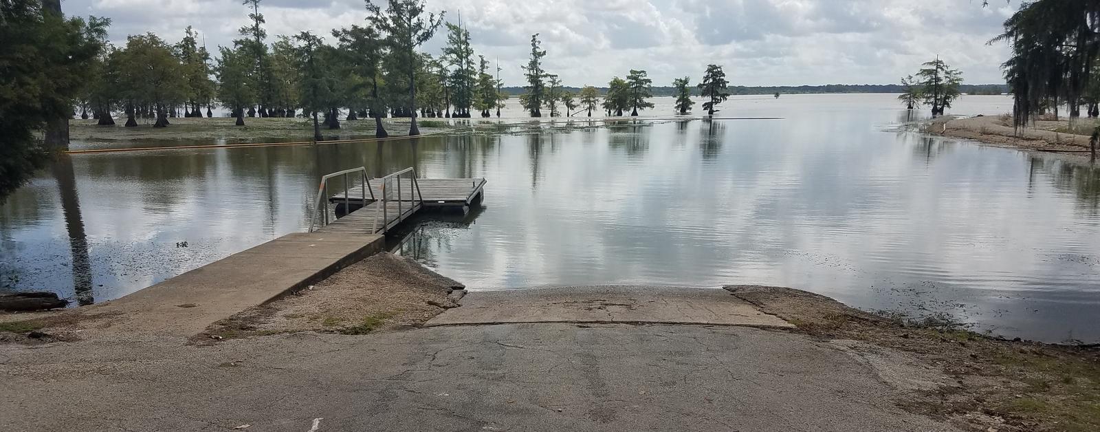
B.A. Steinhagen Lake is a prime location for boating, canoeing, fishing and wildlife viewing. Several parks with boat ramps and docks are scattered around the lake.
Fishing is a popular pastime. Largemouth bass, catfish and crappie are the primary sport species found in the lake.
Younger anglers love the children’s fishing pond within Magnolia Park, just 6.5 miles north. A Kid’s Fish Day is held annually in June.
The road systems within nearby Magnolia Ridge and Sandy Creek Parks offer excellent family biking opportunities for 3-5 mile rides.
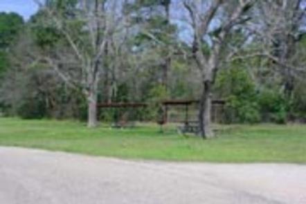
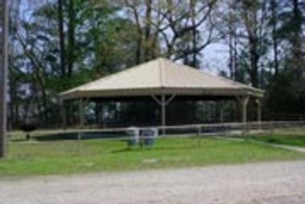
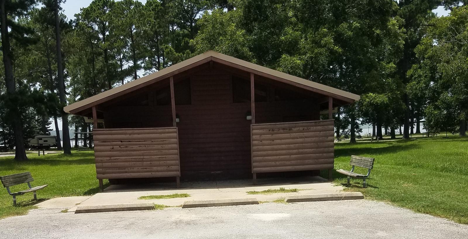
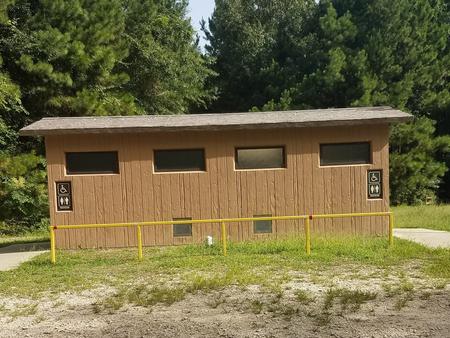
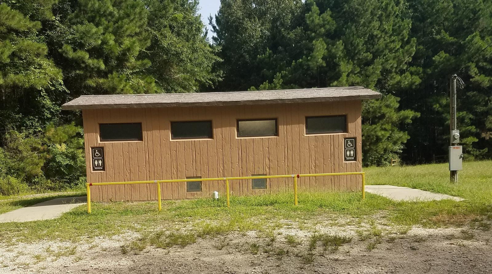
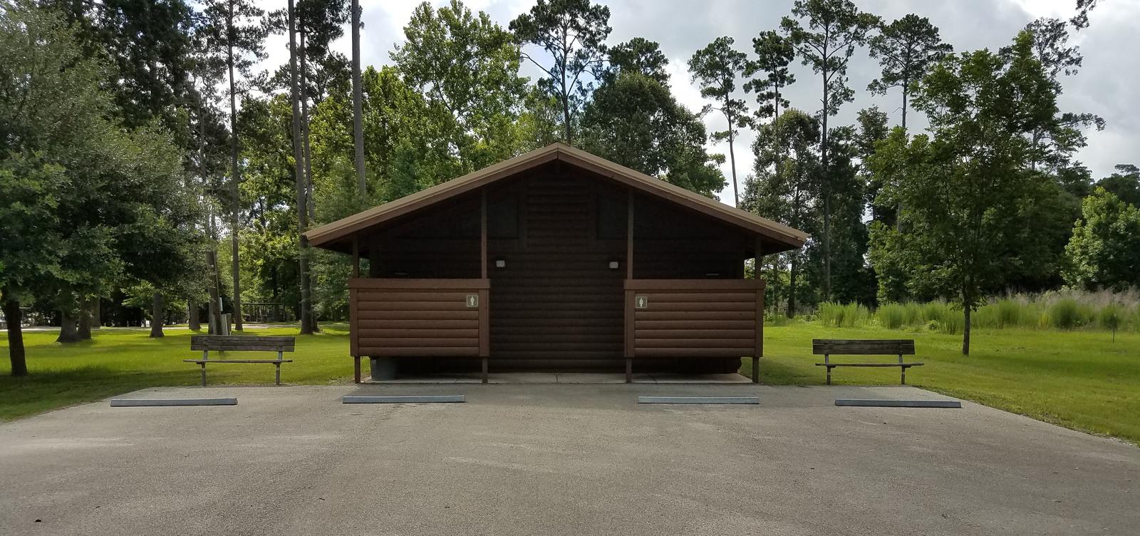
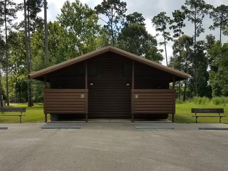
Bluffview Park is a year-round day-use area that offers one large group picnic shelter with electricity and water. Numerous individual picnic sites, some of which have shelters, are available on a first come, first served basis. Flush toilets, drinking water and trash collection are provided.
A small store is located across the road from the campground with bait, fuel and ice.
The lake lies in the heart of the East Texas Pineywoods, a beautiful region known for its pine uplands, bottomland hardwoods and pine-hardwood mixed forests, which provide habitat for a wide range of wildlife.
White-tailed deer, squirrels, rabbits, red and gray fox, bobwhite quail, and numerous species of ducks, geese, waterfowl and songbirds make their home in the area.
Nearby Martin Dies, Jr. State Park offers hiking, canoeing, fishing, swimming, biking and wildlife viewing opportunities. The Walnut Slough, Sandy Creek and Neches Paddling Trails meander from 3-16 miles on the park’s backwater sloughs, the open lake and the swift Neches River.
The Angelina-Neches/Dam B Wildlife Management Area is located at the north end of the lake, covering nearly 13,000 acres. The area boasts beautiful mature hardwoods, including cypress, sweet gum and red and water oak. Some areas feature stands of loblolly and shortleaf pine. Visitors have the opportunity to hunt, fish, hike and view wildlife in this extraordinary ecosystem.
From Woodville, Texas, go 11 miles east on U.S. 190. Turn south on FM 92 and go 5 miles to the park, which is on the left just north of the project office.
Latitude 30° 47′ 44.9999″ N
Longitude 94° 10′ 45.0001″ W
Sandy Creek Park is located on the southeast side of B.A. Steinhagen Lake between the towns of Woodville and Jasper in southeast Texas. The lake provides a great getaway for fishing, boating, picnicking, camping and birding.
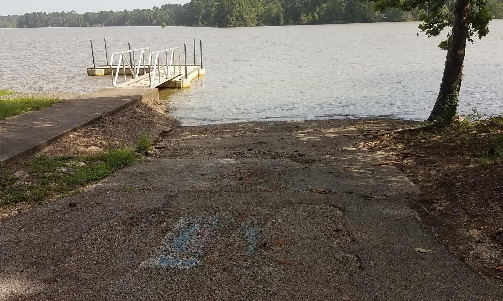
B.A. Steinhagen Lake is a prime location for boating, canoeing, fishing and wildlife viewing. Several parks with boat ramps and docks are scattered around the lake, including facilities within Sandy Creek. Boat rentals are also available.
Fishing is a popular pastime. Largemouth bass, catfish and crappie are the primary sport species found in the lake. Fishing docks are located within the park.
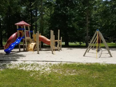
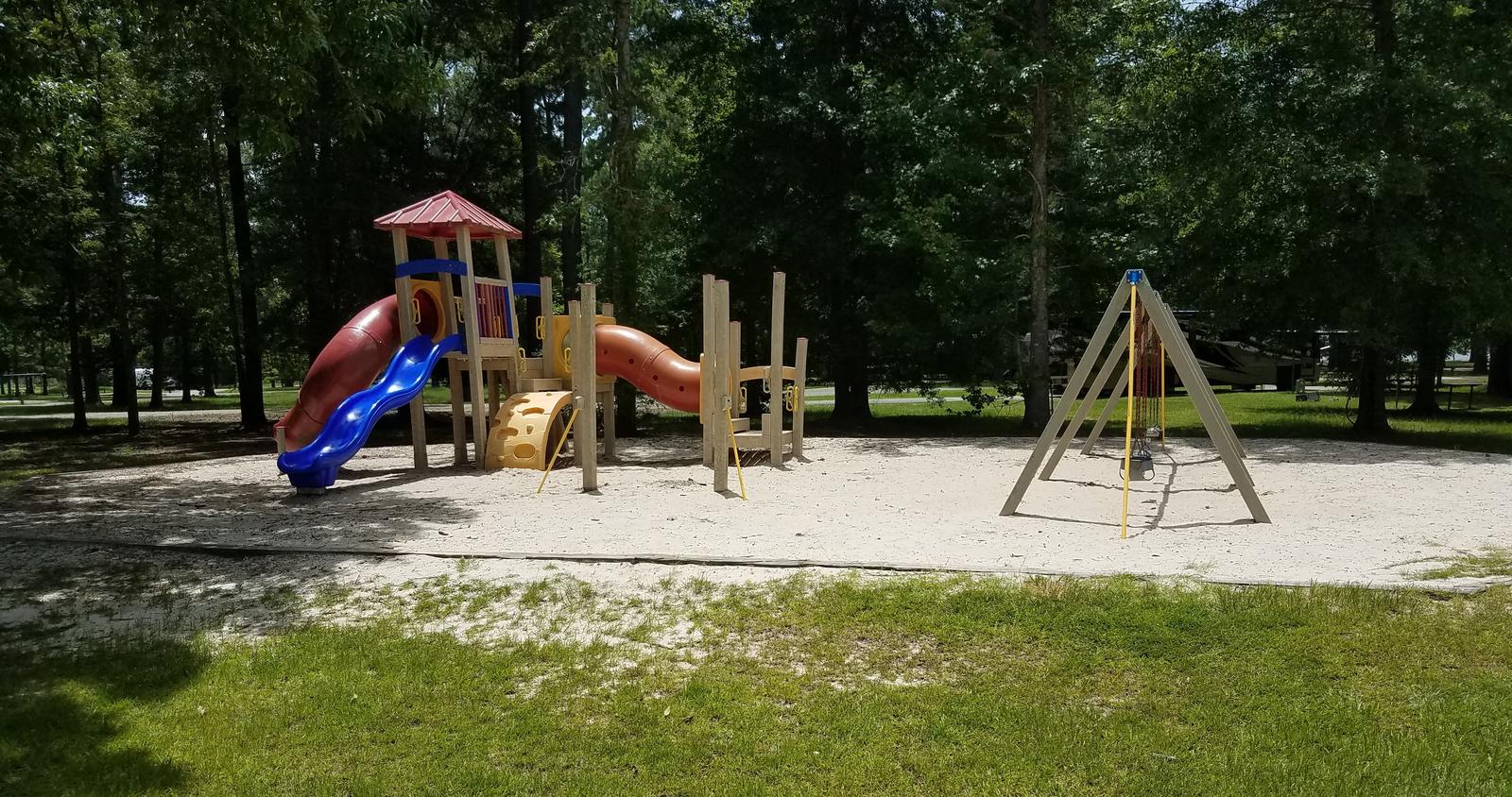
The road system within Sandy Creek Park offers excellent family biking opportunities for 3-5 mile rides. Campers enjoy the park’s volleyball court and children’s playground.
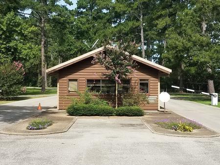
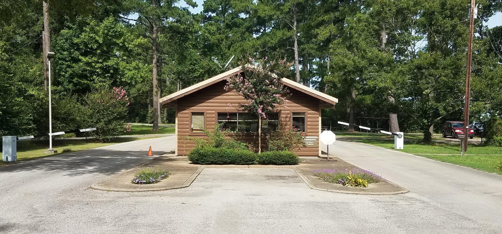
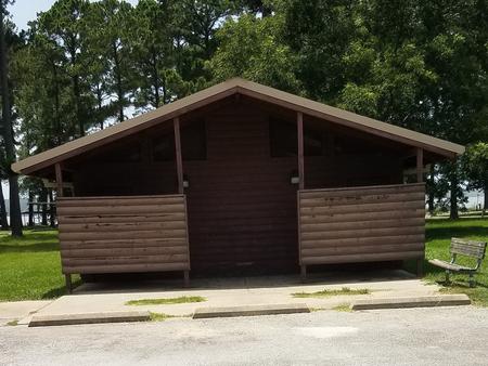
Sandy Creek Park is open year-round and offers numerous campsites, 71 of which have water and electric hookups. A group day-use picnic shelter is also available. Flush and pit toilets, showers and a dump station are provided.
The lake lies in the heart of the East Texas Pineywoods, a beautiful region known for its pine uplands, bottomland hardwoods and pine-hardwood mixed forests, which provide habitat for a wide range of wildlife.
White-tailed deer, squirrels, rabbits, red and gray fox, Bobwhite quail, and numerous species of ducks, geese, waterfowl and songbirds make their home in the area.
Nearby Martin Dies, Jr. State Park offers hiking, canoeing, fishing, swimming, biking and wildlife viewing opportunities. The Walnut Slough, Sandy Creek and Neches Paddling Trails meander from 3-16 miles on the park’s backwater sloughs, the open lake and the swift Neches River.
The Angelina-Neches/Dam B Wildlife Management Area is located at the north end of the lake, covering nearly 13,000 acres. The area boasts beautiful mature hardwoods, including cypress, sweet gum and red and water oak. Some areas features stands of loblolly and shortleaf pine. Visitors have the opportunity to hunt, fish, hike and view wildlife in the extraordinary ecosystem.
From Jasper, Texas, take US-190 west for 10 miles. Turn south on FM 777 and travel 2 miles to County Road 155. Turn west and continue 2.5 miles, following signs into the campground.
Latitude 30° 48′ 29.9999″ N
Longitude 94° 9′ 29.9999″ W
Magnolia Ridge Park is located on the northwest side of B.A. Steinhagen Lake, between the towns of Woodville and Jasper, Texas. The lake provides a great getaway for fishing, boating, picnicking, camping and birding.
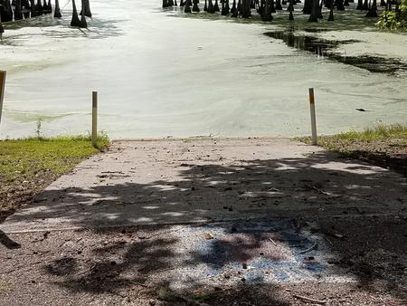
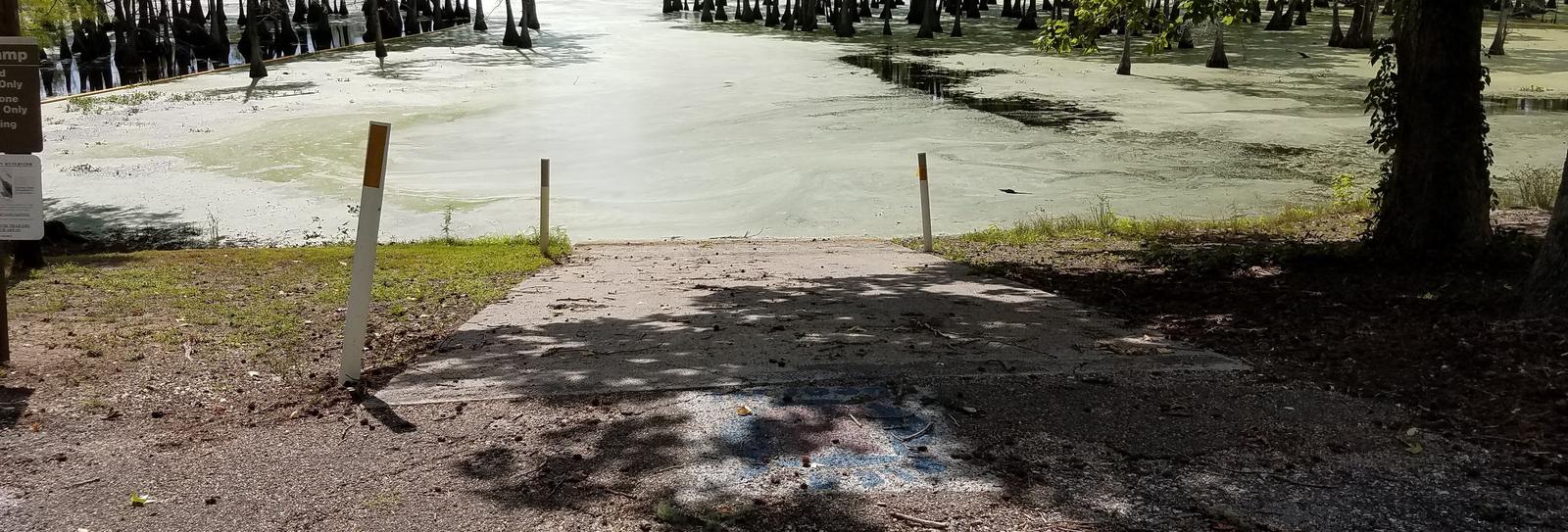
B.A. Steinhagen Lake is a prime location for boating, canoeing, fishing and wildlife viewing. Several parks with boat ramps and docks are scattered around the lake, including facilities within Magnolia Ridge.
Fishing is a popular pastime. Largemouth bass, catfish and crappie are the primary sport species found in the lake. Younger anglers love the Kid’s Fish Pond within Magnolia Ridge, and Kid’s Fish Day is held annually in June.
The road system within Magnolia Ridge Park offers excellent family biking opportunities for 3-5 mile rides. A playground is also located on-site.
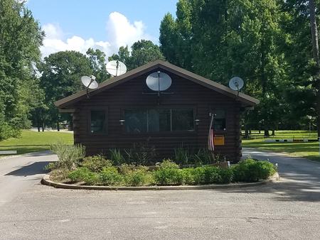
Magnolia Ridge Park is a year-round campground that offers 41 reservable campsites, 39 of which have water and electric hookups. Other facilities include a group day-use picnic shelter and group overnight shelter, both with electric hookups.
Flush toilets, showers and a dump station are provided.
The lake lies in the heart of the East Texas Pineywoods, a beautiful region known for its pine uplands, bottomland hardwoods and pine-hardwood mixed forests, which provide habitat for a wide range of wildlife.
White-tailed deer, squirrels, rabbits, red and gray fox, bobwhite quail and numerous species of ducks, geese, waterfowl and songbirds make their home in the area.
The Angelina-Neches/Dam B Wildlife Management Area is nearby, covering nearly 13,000 acres. The area boasts beautiful mature hardwoods, including cypress, sweet gum and red and water oak. Some areas feature stands of loblolly and shortleaf pine. Visitors have the opportunity to hunt, fish, hike and view wildlife in this extraordinary ecosystem.

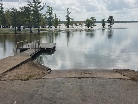
From Woodville, Texas, go 11 miles east on US-190. Turn north on FM-92 and continue 1.5 miles to the park entrance road.
Latitude 30° 52′ 0.0001″ N
Longitude 94° 14′ 15.0000″ W
This recreation area is part of Ray Roberts Lake
Latitude 0° 0′ 0.0000″ S
Longitude 0° 0′ 0.0000″ W
This recreation area is part of Ray Roberts Lake
Latitude 33° 25′ 45.2393″ N
Longitude 97° 3′ 23.0567″ W
This recreation area is part of Ray Roberts Lake
Latitude 33° 21′ 57.1801″ N
Longitude 97° 0′ 43.9653″ W
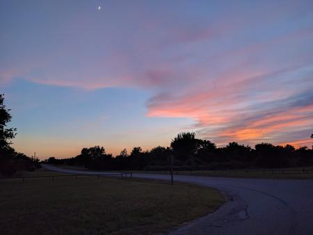
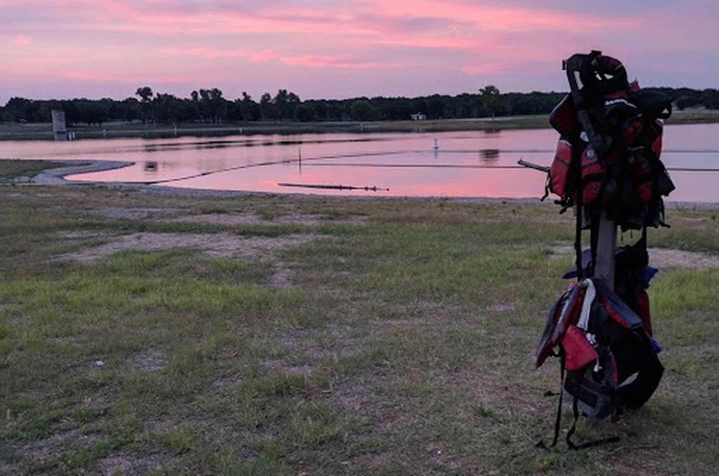
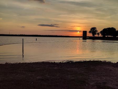
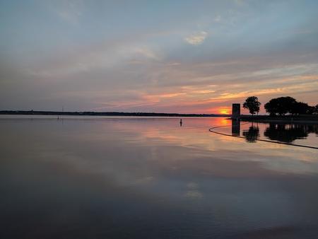
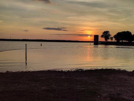
Lofers Bend Day Use Park is located on Whitney Lake on the Brazos River in central Texas. Whitney Lake gets over two million visitors a year. Visitors enjoy many recreational activities in the area and the scenic beauty that Whitney Lake provides.
Lofers Bend Day Use gates will open at 6:00 am and the park will close at 10:00 pm.
Boating, fishing, swimming, volleyball, and hiking opportunities are provided in the park.
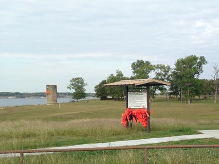
Lofers Bend Day Use Park offers 29 picnic sites, a reserveable day use group pavilion, a two lane boat ramp, playground, 2 swim beaches, 2 sand volleyball courts, a 1.5 mile fitness trail, and 2 restrooms.
The park is located in Hill County on the upstream side of Whitney Dam and features an oak-savannah landscape including a variety of oak trees, native grasses, and wildflowers. Whitetail deer can often be seen in the park.
The 12.5 mile Hopewell Trail is nearby. The trail allows hiking, mountain biking, and horseback riding. Visitors can choose to travel north on the trail to Kimball Bend Park, or south to Lakeside Village and Powelidale Mountain.



From I-35 in Hillsboro, take Hwy 22 West for 12 miles to Whitney, continue 7 miles past Whitney, and turn right before the dam. Take the first left turn.
Latitude 31° 52′ 40.7399″ N
Longitude 97° 21′ 30.8999″ W
This recreation area is part of Whitney Lake
Latitude 32° 8′ 33.3926″ N
Longitude 97° 28′ 46.8063″ W
This recreation area is part of Whitney Lake
Latitude 32° 1′ 25.6431″ N
Longitude 97° 29′ 30.0070″ W