Categories
Uncategorized

WILLOW BEACH

Overview

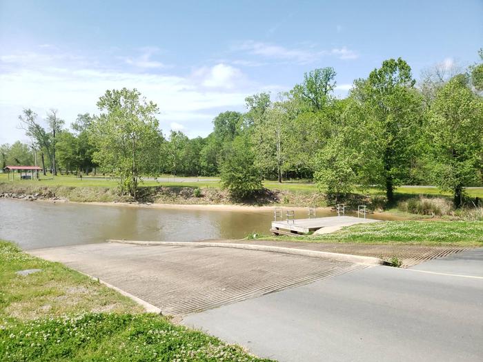
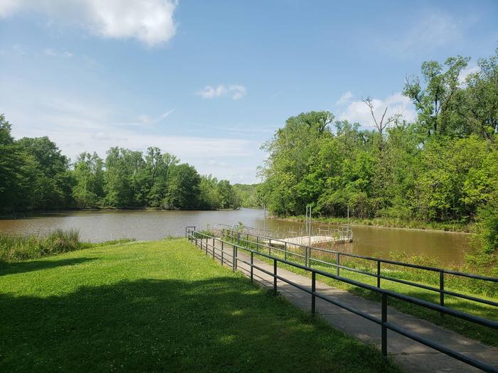
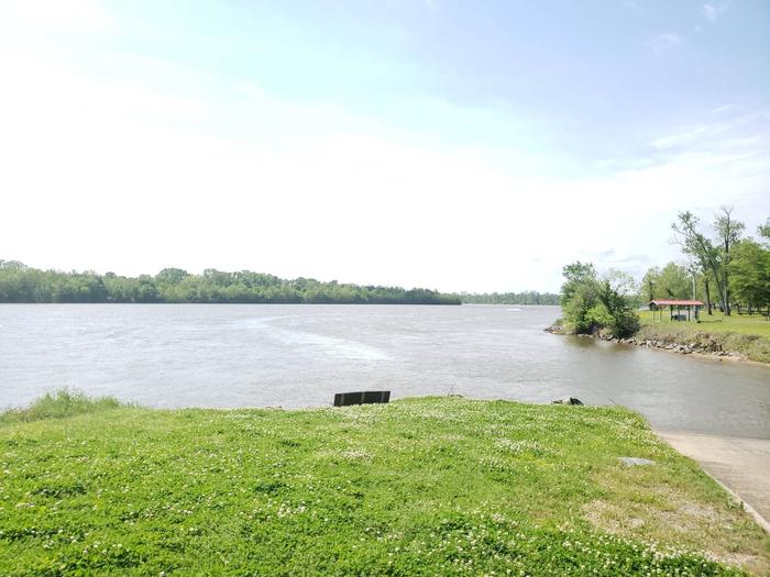
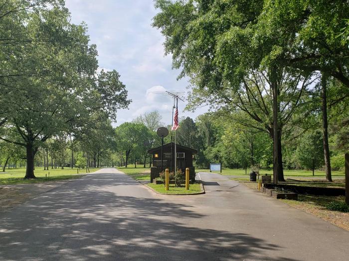
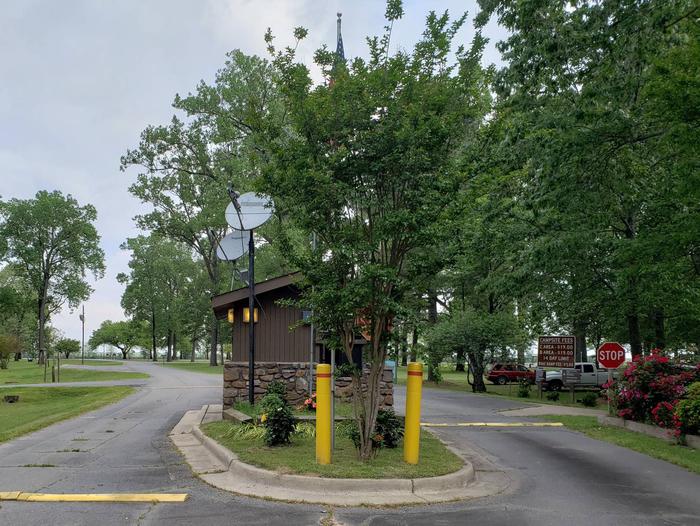
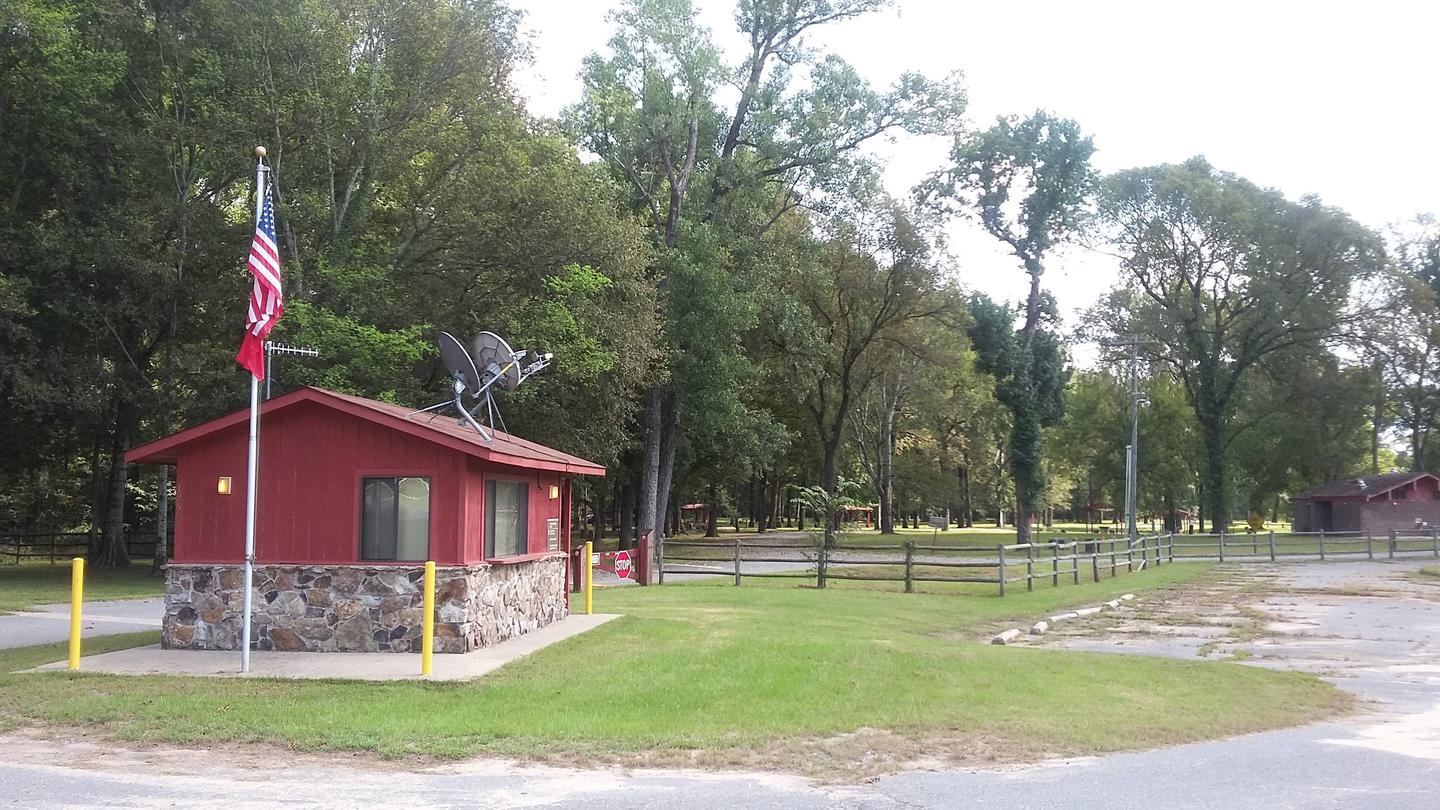
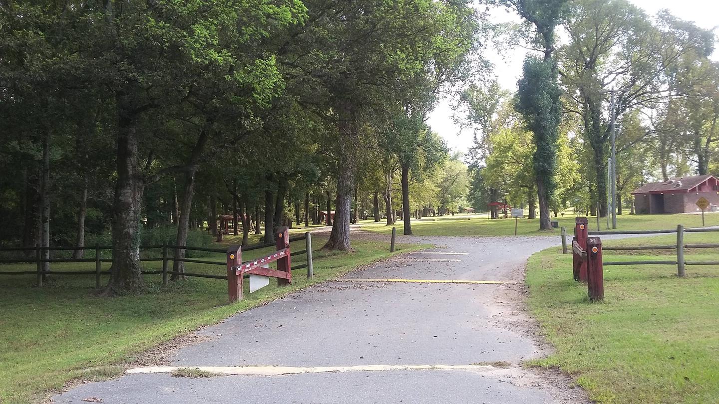
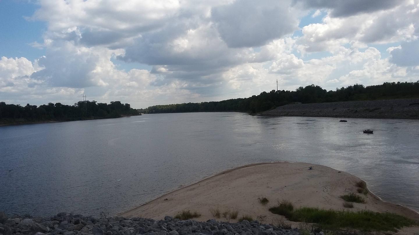
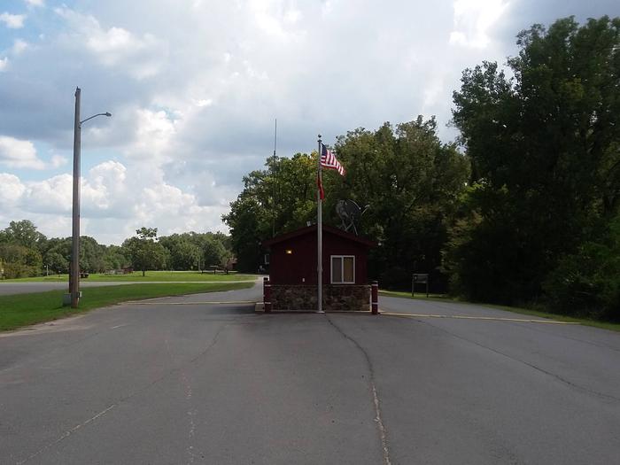
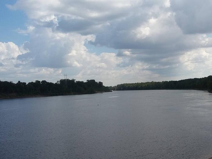
Willow Beach Campground is located near the David D.Terry Lock and Dam of the Arkansas River.

The wealth of recreational opportunities in the Arkansas River Valley provides visitors with endless fun for the whole family. Outdoor activities such as camping, picnicking, boating and sightseeing are favorite pastimes.

Recreation

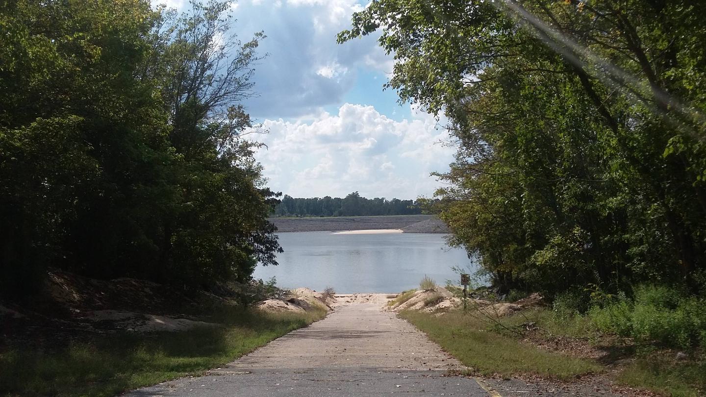
Willow Beach has a boat ramp and offers excellent fishing, especially in the old river cutoffs and the tail-waters of the dam and Murry Lock and Dam upstream. Anglers often catch bass, crappie and bream in the Arkansas River.

Hunting is available in nearby forests, and there is duck hunting on the waterways.

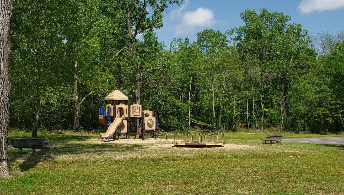
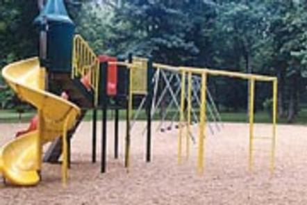
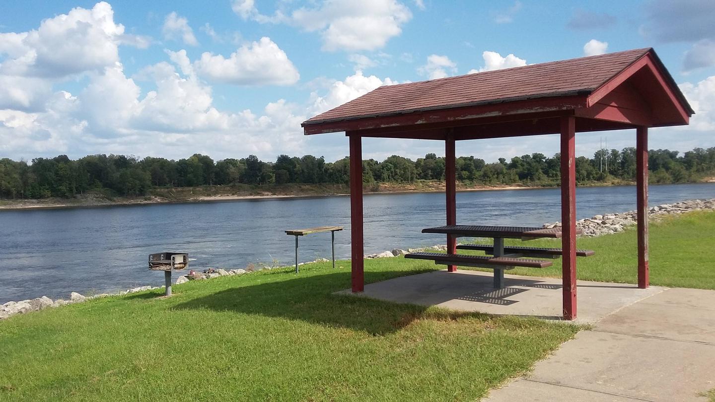
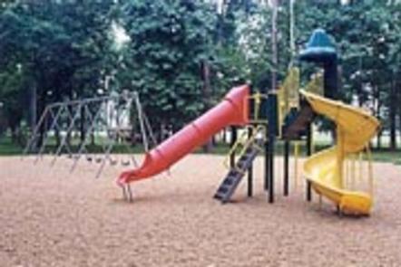
On shore, families enjoy picnicking and using the playground.

Facilities

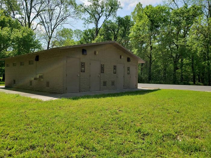
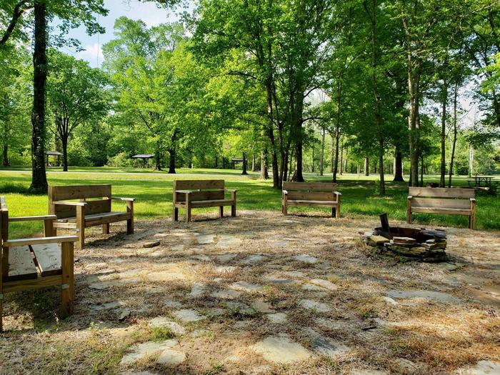
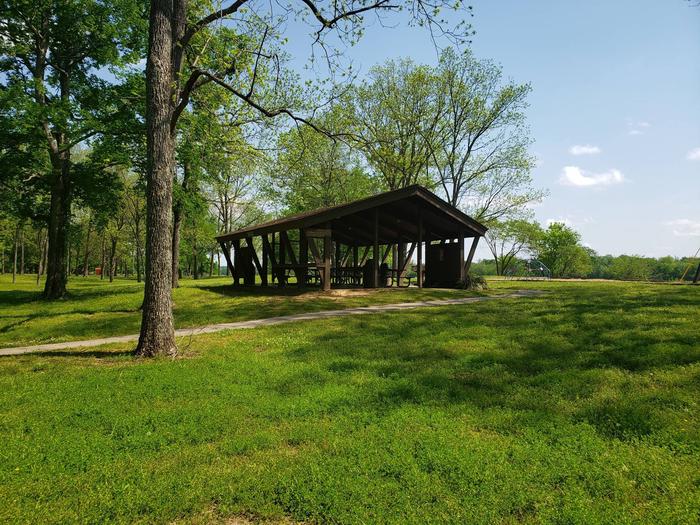
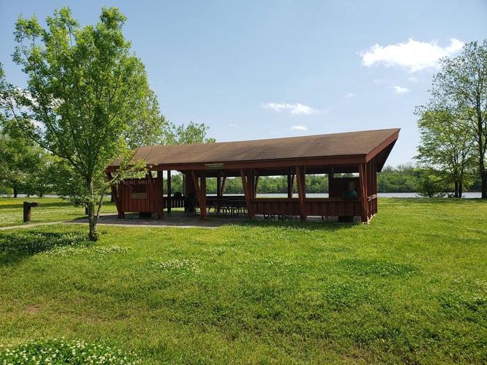
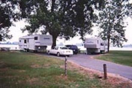
Willow Beach Campground offers 21 campsites with electric and water hookups, as well as three reservable group picnic shelters for day use. Additional amenities include a dump station, hot showers, a boat ramp and playground.

Natural Features

The park is in a forested area along the riverfront, close to the rolling fields of cotton farms. It is 193 feet above sea level; winters are generally mild and summer temperatures reach the upper 90s with high humidity.

Red fox are frequently seen in the park, along with deer and armadillo, and numerous species of waterfowl live in the water and along the shores.

Nearby Attractions

Little Rock, the state capital and largest city of Arkansas, is just minutes away, offering groceries, gas, restaurants and tourist attractions.

Nearby Activities

  • Boating
  • Camping
  • Fishing

Directions

From Little Rock, Arkansas, take U.S. Highway 165 east for 2.5 miles. Turn right on Colonel Manard Road and continue for three miles. Turn right again onto Blue Heron Parkway and follow signs to Willow Beach Park.

GPS Coordinates

Latitude 34° 41′ 57.0001″ N

Longitude 92° 8′ 13.9999″ W

Categories
Uncategorized

TAR CAMP

Overview

Tar Camp Park is situated near Pool 5 Lock and Dam on the Arkansas River.

The campground is known for its beauty and first-class fishing. Whether camping, fishing, boating or just relaxing in the sun, this area provides something for everyone.

Recreation

The campground is popular among fishermen. There is excellent catfish fishing in the tail-waters of Joe Hardin Lock and Dam as well as Emmitt Sanders Lock and Dam at the upstream end of Pool 3. Anglers often catch bass, crappie and bream.

Hunting is available in nearby forests, and there is duck hunting on the waterways.

On shore, families enjoy picnicking and using the playground.

Facilities

Tar Camp Campground offers more than 50 sites, most with electric and water hookups. Each campsite has a movable lamp post and grill, as well as campfire rings and picnic tables.

Two large group picnic shelters that can each accommodate up to 60 people each can be reserved for day use.

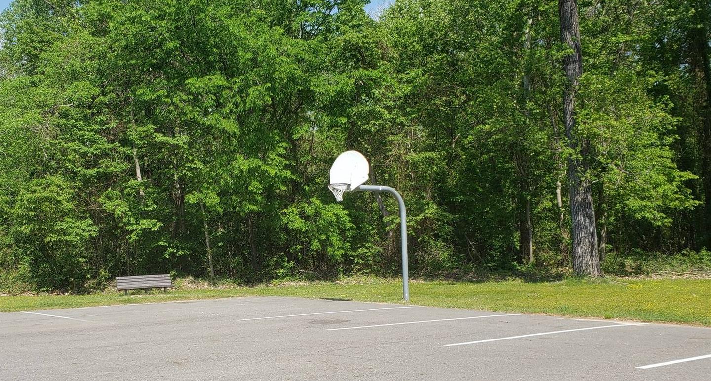
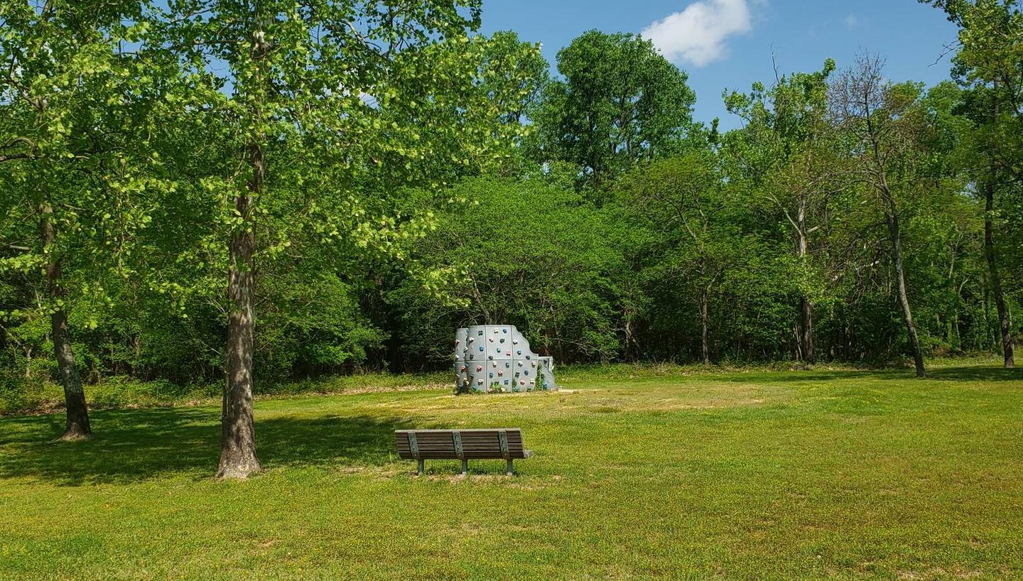
A rock climbing wall and basketball court provide additional recreation opportunities.

Natural Features

The park is in a forested area along the riverfront, close to the rolling fields of cotton farms. It is 193 feet above sea level; winters are generally mild and summer temperatures reach the upper 90s with high humidity.

Red fox are frequently seen in the park, and numerous species of waterfowl live in the water and along the shores.

Nearby Attractions

Little Rock, the state capital and largest city in Arkansas, is only a short drive away and offers many amenities and cultural attractions.

The nearby town of Pine Bluff is the home for the Arkansas Railroad Museum, Pine Bluff Regional Park, the Martha Mitchell Home and other points of interest, as well as shopping and groceries.

Nearby Activities

  • Boating
  • Camping
  • Hunting

Gallery

Directions

From Redfield, Arkansas, take State Route 46 east to State Route 365. Turn left and go 1 block, then turn right and drive 4 miles to Tar Camp Park. Follow signs into the campground.

GPS Coordinates

Latitude 34° 26′ 58.9999″ N

Longitude 92° 6′ 45.0000″ W

Categories
Uncategorized

STE MARIE PARK

Overview

Sainte Marie Park sits on the banks of Lake Langhofer and the Arkansas River by Pool 3 Lock and Dam.

Whether boating, fishing, hiking, picnicking or hosting a group event, Sainte Marie has facilities to accommodate a range of activities.

Recreation

The campground is popular among fishermen. There is excellent catfish fishing in the tail-waters of Joe Hardin Lock and Dam as well as Emmitt Sanders Lock and Dam at the upstream end of Pool 3. Anglers often catch bass, crappie and bream.

Hunting is available in nearby forests, and there is duck hunting on the waterways.

On shore, families enjoy picnicking and using the playground.

Facilities

Sainte Marie offers two reservable group picnic shelters that can each accommodate up to 75 people.

There are no electric hookups, but drinking water is provided. Additional amenities include grills, a courtesy dock and fishing dock.

Natural Features

The park is in a forested area along the riverfront, close to the rolling fields of cotton farms. It is 193 feet above sea level; winters are generally mild and summer temperatures reach the upper 90s with high humidity.

Red fox are frequently seen in the park, and numerous species of waterfowl live in the water and along the shores.

Nearby Attractions

The City of Pine Bluff is the home for the Arkansas Railroad Museum, Pine Bluff Regional Park, the Martha Mitchell Home and other points of interest, as well as shopping and groceries.

Nearby Activities

  • Boating
  • Camping
  • Fishing
  • Hunting

Directions

From Pine Bluff, follow the Martha Mitchell Expressway onto U.S. Highway 63N/79N. Turn left onto Louis L. Ramsay Road. Continue on St. Marie Park Road into the facility.

GPS Coordinates

Latitude 34° 16′ 9.0001″ N

Longitude 91° 56′ 21.9998″ W

Categories
Uncategorized

RISING STAR

Overview

Rising Star Campground is located on the Arkansas River by Pool 3 Lock and Dam. Whether camping, fishing, boating or just relaxing in the sun, this area provides something for everyone.

Recreation

The campground is popular among fishermen. There is excellent catfish fishing in the tail-waters of Joe Hardin Lock and Dam as well as Emmitt Sanders Lock and Dam at the upstream end of Pool 3. Anglers often catch bass, crappie and bream.

Hunting is available in nearby forests, and there is duck hunting on the waterways.

On shore, families enjoy picnicking and using the playground.

Facilities

Rising Star Campground offers 25 sites with electric and water hookups. Additional amenities include hot showers, a dump station and a playground.

There is one accessible group shelter that can accommodate up to 60 people; it is for day-use only and must be reserved.

Natural Features

The park is in a forested area along the riverfront, close to the rolling fields of cotton farms. It is 193 feet above sea level; winters are generally mild and summer temperatures reach the upper 90s with high humidity.

Red fox are frequently seen in the park, and numerous species of waterfowl live in the water and along the shores.

Nearby Attractions

Rising Star Park is located 12 miles from Pine Bluff, the home for the Arkansas Railroad Museum, Pine Bluff Regional Park, the Martha Mitchell Home and other points of interest, as well as shopping and groceries.

Nearby Activities

  • Boating
  • Camping
  • Fishing
  • Hunting
  • Wildlife viewing

Gallery

Directions

From Pine Bluff, Arkansas, take U.S. Highway 65 south for 7.8 miles to Linwood. Turn left on Blankinship Road, drive 3.5 miles and follow the signs for Rising Star Campground.

GPS Coordinates

Latitude 34° 10′ 8.0000″ N

Longitude 91° 44′ 12.0001″ W

Categories
Uncategorized

NOTREBES BEND PARK

Overview

This small, quiet campground contains 30 campsites and sits on the Arkansas River just below Wilbur D. Mills Dam. It is also along the Mississippi Flyway, the route millions of migratory birds take to get to and from the Gulf of Mexico.

Recreation

Fishing the tailwaters of Wilbur D. Mills Dam attracts anglers with an abundance of largemouth bass, crappie, bream and catfish, with catfish being a priority to many fishers. Boating, hunting, hiking and birding are also popular pastimes in this area.

Facilities

Notrebes Bend Campground offers 30 campsites with 50 amp electric hookups, drinking water and campfire rings. Twenty-four sites may be reserved. There is a comfort station located in the Campgound offering restrooms and hot showers for park users. There is also a boat ramp for visitors seeking access to the Arkansas River below Wilbur D. Mills Dam.

Natural Features

Notrebes Bend Campground is located on the Arkansas River just below Wilbur D. Mills Dam. The Arkansas River below Wilbur D. Mills meanders for 26 miles before it meets the Mississppi River. Just upriver of the Dam is Pool 2; which includes the Arkansas Post Canal which stretches east to connect with the White River, Merrisach Lake and Coal Pile Lake, a state designated waterfowl rest area.

Nearby Attractions

The Arkansas Post National Memorial marks the spot for the first European village built west of the Mississippi River in 1686. The Dale Bumpers White River National Wildlife Refuge is also nearby, offering excellent fishing, hunting, and wildlife viewing.

Nearby Activities

  • Boating
  • Camping
  • Fishing
  • Hunting
  • Birding

Gallery

Directions

From DeWitt Arkansas, take US-165 south for 8.1 miles. Exit onto State Route 44 east and continue south for 5.3 miles to Tichnor. Take Tichnor Blacktop Road for 10 miles, cross the Arkansas Post Canal Bridge, and turn right onto Wilbur D. Mills Road. Continue for 6.5 miles and enter park.

GPS Coordinates

Latitude 33° 59′ 17.0002″ N

Longitude 91° 18′ 33.0001″ W

Categories
Uncategorized

WILBUR D. MILLS

Overview

Wilbur D. Mills Campground is a small, quiet campground offering 21 campsites. The park is located just downstream of the Wilbur D. Mills Dam on the right descending bank of the Arkansas River.

Recreation

Hiking, fishing, hunting, birding, and boating are all popular pastimes in this area. The waters below Wilbur D. Mills Dam can be an excellent place to catch Blue, Channel and Flathead catfish as well as other species such as crappie, white bass, striped bass, and their hybrids. Many outdoor enthusiasts find the whitetail deer hunting to be excellent in the fertile soils of the bottomland hardwoods of the public lands adjacent to the area. Birders find many species to check off their lists as well. Hiking is permitted year round in the area, except during permit drawn hunts outside the park. Hikers are reminded to wear bright colors, such as fluorescent orange or yellow during hunting seasons as well.

Facilities

Electric and water hookups are available at each of the 21 campsites, 17 of which can be reserved. There is one designated Disabled Access site. Hot showers and a boat launch are also available.

Natural Features

The Wilbur D. Mills Campground is on the lower portion of the Arkansas River, just below the Wilbur D. Mills Dam. This non-commercially navigable portion of the Arkansas River meanders below Wilbur D. Mills Dam as it makes it’s 26 mile journey to the confluence with the Mississippi River. Many species of shorebirds find the shallow water and sand bars great feeding and nesting habitat. Federally Endangered Least Terns (Sterna antillarum) can be seen feeding and nesting in this portion of the Arkansas River. Please exercise caution and avoid active nesting sandbars.

Nearby Attractions

The Arkansas Post National Memorial marks where the first European village west of the Mississippi River was built in 1686. Arkansas Post was also the capital of Arkansas up until the Civil War. Arkansas Post State Park is also close to WIlbur D. Mills Campground and is worth a visit. Arkansas Game and Fish Commission’s Trusten Holder Wildlife Management Area is a state managed public land area offering many outdoor activities. The Dale Bumpers White River National Wildlife Refuge also offers many recreational activities on its 160,000 acres of public land.

Nearby Activities

  • Boating
  • Camping
  • Fishing
  • Hiking
  • Hunting
  • Birding

Gallery

Directions

From Dumas, Arkansas, travel north on US-165 for 9 miles to State Route 212. Turn right and continue 4 miles east, through Pendleton Bend Park, to the campground.

GPS Coordinates

Latitude 33° 58′ 44.0000″ N

Longitude 91° 18′ 31.0000″ W

Categories
Uncategorized

PENDLETON BEND

Overview

Pendleton Bend Campground and Day Use Park is located on the bank of the Arkansas River. The campground offers 31 campsites, a two lane boatramp, a comfort station with hot showers and restrooms, playground, picnic sites, and a group shelter that can accomodate 75 users.

Recreation

Hiking, fishing, boating, birding, and hunting are all popular activities for visitors. World-class bass and crappie fishing is found in Pool 2, and the tailwaters of the dam provide excellent opportunities to catch a variety of gamefish, especially catfish. A boat ramp is available for access to the Arkansas River. Hiking and birding is available in the nearby Trusten Holder Wildlife Management Area. Many species of waterfowl frequent the lower Arkansas River and its adjacent wetlands making this area a destination for waterfowl hunters.

Facilities

Pendleton Bend offers 31 campsites with electric and water hookups, 25 of which may be reserved. Additional amenities include a boat ramp, comfort station with hot showers and flush toilets, group picnic shelter, and a playground with picnic sites.

Natural Features

Pendleton Bend Campground and Park is located in the lush Eastern Arkansas alluvial bottomland forest in Desha County. Pendleton Bend Campground and Park is approximately 3.5 miles upstream of the Wilbur D. Mills Dam and Arkansas Electric Coop Hydropower Dam. The Campground and Park sits along the track for migratory birds as they come and go from the Gulf of Mexico, making it a destination for birders. Many species of waterfowl frequent the Arkansas River and adjacent wetlands making it a destination for waterfowl hunters.

Nearby Attractions

Nearby, visitors can visit the Arkansas Post National Memorial. Here, Henri de Tonti established the first European village west of the Mississippi River in 1686. In 1819, Arkansas Post became the capital of the Arkansas Territory and remained so until the Civil War. The Dale Bumpers White River Refuge is nearby that offers 160,000 acres of excellent hunting, fishing, and wildlife viewing opportunities as well.

Nearby Activities

  • Boating
  • Camping
  • Fishing
  • Hiking
  • Hunting
  • Day use area
  • Birding

Gallery

Directions

From Dumas, Arkansas, take US-165 north for 9 miles to State Route 212. Head east for 2 miles and
follow signs to the park.

GPS Coordinates

Latitude 33° 59′ 12.9998″ N

Longitude 91° 21′ 38.9999″ W
Categories
Uncategorized

MERRISACH LAKE

Overview

Merrisach Lake Campground and Day Use Park is situated on the banks of Merrisach Lake and the Arkansas Post Canal in the lush bottomland forest of eastern Arkansas. The campground is described as off the beaten path, providing visitors with the peace and quiet to enjoy fishing, hunting, picnicking and boating.

Recreation

The campground and day use park offers visitors the perfect amount of seclusion to enjoy the outdoors. Visitors enjoy fishing for bass, crappie and catfish in Merrisach Lake and other tributaries of Pool 2. The tailwaters of Wilbur D. Mills Dam provide excellent opportunities to catch many species of gamefish, especially catfish. Visitors to this area also find great hunting, birding and boating opportunities. Merrisach sits on the famed Mississippi Flyway, where millions of songbirds, ducks, geese and butterflies pass during migration.

Facilities

Campsites are spacious, with a few backing right up to the lake. Most sites offer electric and water hookups. Additional amenities include hot showers, a playground, boat ramp and dump station. Two large group picnic shelters are available, and can accommodate up to 75 guests each.

Natural Features

The Arkansas Post Canal creates a waterway from the Arkansas River to the White River, and Merrisach Lake stems from the pool between the Wilbur D. Mills Dam and Lock Number 2. Wilbur D. Mills Pool boasts 96 miles of shoreline and 10,600 acres of water.

Nearby Attractions

The Dale Bumpers White River National Wildlife Refuge is a haven for wildlife and migratory birds, and is one of the largest remaining bottomland hardwood forests in the Mississippi River Valley. The National Park Services’s Arkansas Post National Memorial is also a great place to visit while camping in the area.

Nearby Activities

  • Boating
  • Camping
  • Fishing
  • Hunting
  • Wildlife viewing
  • Birding

Gallery

Directions

From DeWitt, Arkansas, take US-165 south for 8.1 miles to State Route 44. Turn east for 5.3 miles and continue south onto Tichnor Blacktop Rd. After 10 miles, turn right onto Merrisach Lake Lane and continue into the park.

GPS Coordinates

Latitude 34° 1′ 49.0001″ N

Longitude 91° 15′ 59.0000″ W
Categories
Uncategorized

Russell

This recreation area is part of Georgetown Lake

Directions

GPS Coordinates

Latitude 30° 40′ 30.2694″ N

Longitude 97° 45′ 29.2703″ W
Categories
Uncategorized

Tejas

This recreation area is part of Georgetown Lake

Directions

GPS Coordinates

Latitude 30° 41′ 46.3732″ N

Longitude 97° 49′ 39.7071″ W