Categories
Uncategorized

DEVILS FORK

Overview

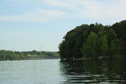
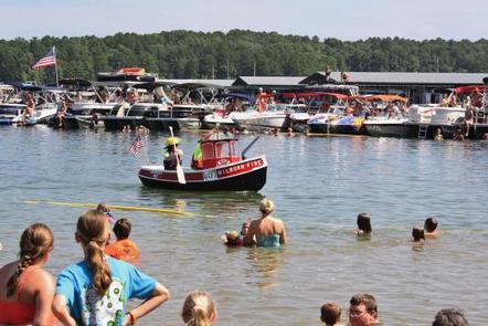
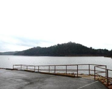
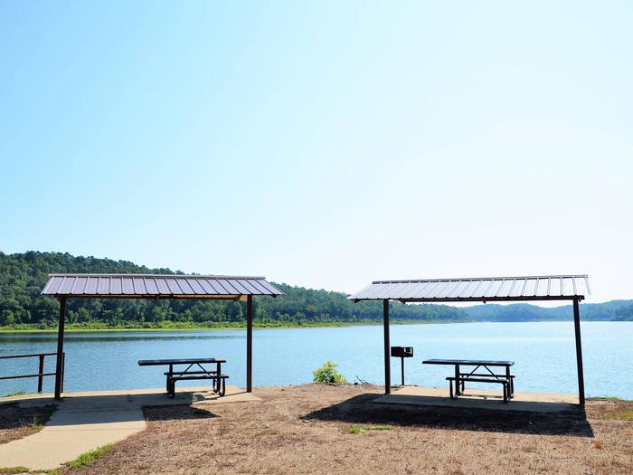
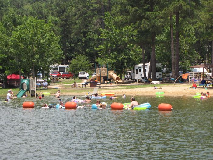
Devils Fork Campground is located on Greers Ferry Lake in the beautiful Ozark Mountains of north-central Arkansas. The environment provides the ideal location for family camping, fishing, boating and hiking.

Recreation

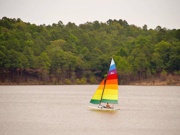
Greers Ferry Lake is an outdoor enthusiasts’ dream, with boating, sailing, water skiing, swimming, scuba diving and fishing opportunities. Hikers enjoy the area’s three National Nature Trails and one multi-purpose fitness trail.

Facilities

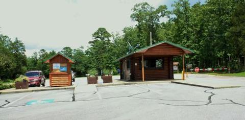
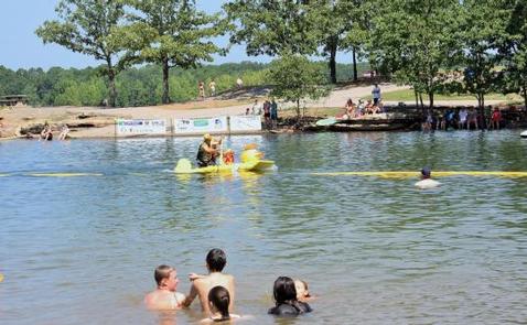
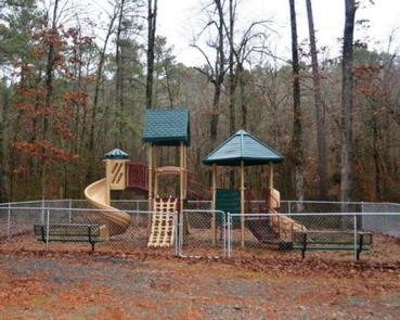
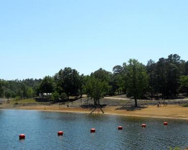
This campground offers 55 sites with electric hookups. Additional amenities include flush and vault toilets, drinking water, showers, a dump station, playground and swimming area.

Natural Features

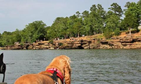
A dense mix of red cedar, black gum, red oak, elm, pecan and sweet gum trees forest the area, providing shade in the summer months and beautiful fall colors in autumn.

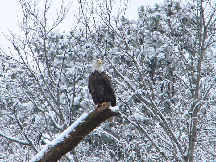
Wildlife is plentiful around Greers Ferry Lake. Visitors commonly see white-tailed deer, wild turkeys, rabbits, squirrels and a wide variety of birds.

Nearby Attractions

With over 30,000 acres of water surface, the lake serves as a playground for all kinds of water sports. Eighteen parks around the shoreline provide modern campgrounds, boat ramps swim areas and marinas.

Nearby Activities

  • Camping
  • Swimming site

Directions

From Greers Ferry, AR, take SR-16 1/4-mile north and follow signs to the campground.

GPS Coordinates

Latitude 35° 35′ 17.0002″ N

Longitude 92° 11′ 7.0001″ W

Categories
Uncategorized

DAM SITE(GREERS FERRY)

Overview

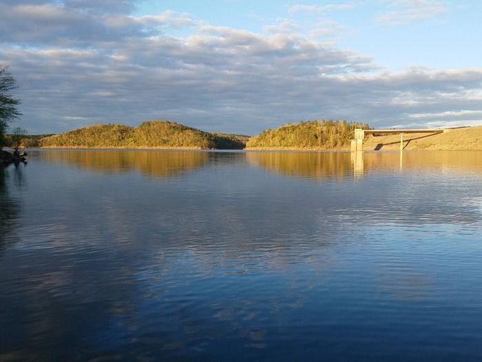
Dam Site Campground is located at Greers Ferry Dam at the foot of Round Mountain in the beautiful Ozark Mountains of north-central Arkansas. The environment provides the ideal location for family camping, fishing, boating and hiking.

Recreation

Greers Ferry Lake is an outdoor enthusiasts’ dream, with boating, sailing, water skiing, swimming, scuba diving and fishing opportunities. Hikers enjoy the area’s three National Nature Trails and one multi-purpose fitness trail.

The William Carl Gardner Visitor Center is just west of the dam, with exhibits, a children’s touch table, and a replica of the world record 40 lb. 4 oz. brown trout caught in the Little Red River downstream of the center.

Facilities

This large campground offers 252 sites, 40 of which have electric and water hookups, 108 have electric hookups, and 104 sites have no hookups.

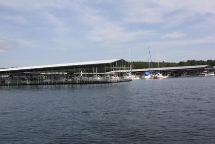
Additional amenities include flush and vault toilets, showers, a dump station, playground, marina, swimming area and a boat ramp.

Natural Features

A dense mix of red cedar, black gum, red oak, elm, pecan and sweet gum trees forest the area, providing shade in the summer months and beautiful fall colors during autumn.

Wildlife is plentiful around Greers Ferry Lake. Visitors commonly see white-tailed deer, wild turkeys, rabbits, squirrels and a wide variety of birds.

Nearby Attractions

With over 30,000 acres of water surface, the lake serves as a playground for all kinds of water sports. Eighteen parks around the shoreline provide modern campgrounds, boat ramps, swim areas and marinas.

Nearby Activities

  • Boating
  • Camping
  • Swimming site

Gallery

Directions

From Heber Springs, AR, take SR-25 3 miles north and follow signs to the campground.

GPS Coordinates

Latitude 35° 31′ 18.9998″ N

Longitude 91° 59′ 51.0000″ W

Categories
Uncategorized

CHOCTAW

Overview

Choctaw Campground is located on the spacious Greers Ferry Lake nestled in the foothills of the Ozark Mountains.

In the 19th century, a city named Higden flourished where the lake now rests. The city suffered from frequent flooding and as a result a man-made lake was created for flood control of the area.

Today, the city’s remains sit below the lake, enticing scuba divers and archeologists alike.

Recreation

Whether a visitor prefers boating, water skiing, fishing, swimming or scuba diving, Greers Ferry Lake has it all. The river tributaries keep anglers entertained, as they produce some of the largest walleye in the world; the record breaker was a whopping 23 lbs.

In spring, the countryside becomes a photographer’s paradise with wildflowers, redbud and dogwood trees in full bloom.

Facilities

Choctaw Park is open from the middle of May through mid-September. The sizable campground has 91 sites with electric hookups and 55 non-electric.

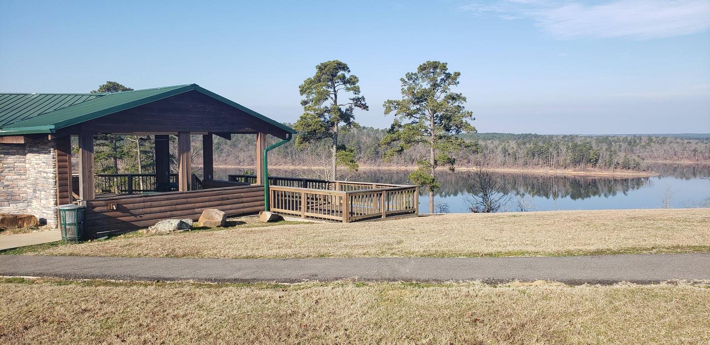
Campers can enjoy the hot showers, group picnic shelter, boat ramp, playground, swimming area and public marina.

Natural Features

Greers Ferry Lake spans 30,000 acres of north-central Arkansas. The dam creating the reservoir stands at the foot of the beautiful Round Mountain, with water trickling through to the Little Red River.

Nearby Attractions

Explore the quaint historic towns around the lake for shopping and dining.

Nearby Activities

  • Boating
  • Camping
  • Swimming site

Directions

From Clinton, AR, take US 65 5 miles south to AR 330 then 3.5 miles east.
Follow signs into campground.

GPS Coordinates

Latitude 35° 32′ 8.0002″ N

Longitude 92° 22′ 52.0000″ W

Categories
Uncategorized

LITTLE COON CREEK PARK

Overview

Little Coon Creek Campground is located on Gillham Lake in southwestern Arkansas on the Cossatot River. The rugged terrain around the lake creates stunning views and provides for many opportunities for boating, fishing, hunting, and swimming.

Recreation

Visitors enjoy the lake for its vast boating opportunities, and a boat ramp is provided for easy water access.

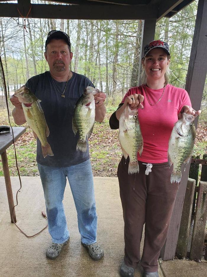
Anglers will find smallmouth, largemouth, and spotted bass, saugeye, crappie, channel and flathead catfish and various species of sunfish in the river. Fly fishing is also a popular pastime.
Hunting is allowed north of Little Coon Creek Park and on the eastern shore of the lake. Check with the Arkansas Game and Fish for Season Dates and Regulations. Lake maps are also available from any Park Attendant at the lake.

Facilities

Little Coon Creek provides 10 campsites and a group picnic shelter; each site has water and 50-amp electric hookups available. Additional amenities include hot showers with restrooms, a boat ramp with a handicap accessible fishing pier, a playground and a dump station nearby.

Natural Features

Gillham Lake spans 1,370 surface acres and boasts 36 miles of shoreline. The Dam was completed in 1975 and stems from the Cossatot River, which has been designated as a National Wild and Scenic River.

Nearby Attractions

The Cossatot River State Park-Natural Area and the Queen Wilhelmina State Park are both within driving distance just north of Gillham Lake. Both of these attractions offer great scenery, hiking, and interpretive programs that are fun for all ages.

Nearby Activities

  • Boating
  • Camping
  • Fishing

Gallery

Directions

From US-59/71 at Grannis, Arkansas, turn east onto County Rd 3/Frachiseur Rd and stay on this road for 5 miles and then follow the signs on into the park.

GPS Coordinates

Latitude 34° 13′ 49.6099″ N

Longitude 94° 15′ 4.9799″ W

Categories
Uncategorized

COSSATOT REEFS

Overview

Cossatot Reefs Campground sits along the lush banks of Gillham Lake in southwest Arkansas.

Nicknamed the "Bright Spot on the Cossatot," Gillham Lake is a recreational oasis for outdoor enthusiasts.

Recreation

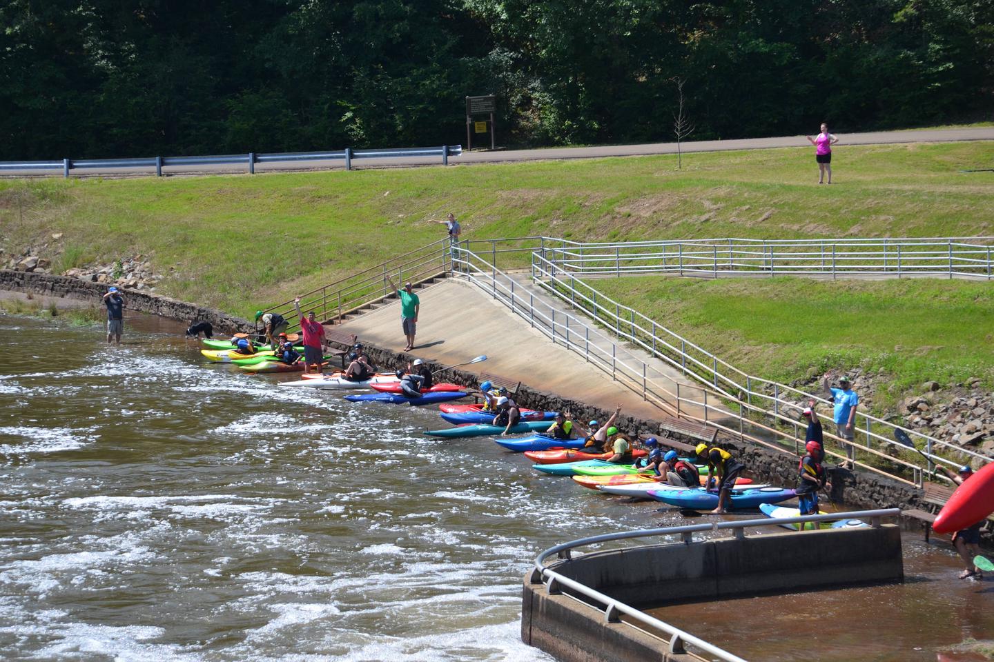
Visitors enjoy the lake for its vast boating opportunities, and a boat ramp is provided for easy water access. The river can be canoed from a point below the dam to U.S. Highway 71 South, a distance of about 16 miles. For shorter canoe trips, there are access roads to the river at Mize Crossing and Ladd Bridge.

Anglers will find smallmouth, largemouth, and spotted bass, crappie, channel and flathead catfish and various species of sunfish in the river. Fly fishing is also a popular pastime.

A short nature trail within the campground weaves through a quaint wooded section. In spring, the trail is painted with colorful redbud and dogwood blossoms.

Facilities

Cossatot Reefs offers 31 shady campsites, including a large group shelter. Hot showers, drinking water and flush toilets help create a comfortable camping experience.

Natural Features

Gillham Lake spans 1,370 surface acres and boasts 36 miles of shoreline. The lake stems from the Cossatot River, designated as a National Wild and Scenic River.

Nearby Activities

  • Boating
  • Camping
  • Fishing
  • Hunting
  • Water sports

Gallery

Directions

From De Queen, Arkansas, head north on US-59/US-71. Continue for nearly 10 miles and turn Right at Gillham EZ-Mart. Turn right on Tower Road; go 1.3 miles turn left onto Gillham Lake road; go 4.3 miles turn right and follow signs into the campground.

GPS Coordinates

Latitude 34° 12′ 24.2701″ N

Longitude 94° 13′ 52.7401″ W

Categories
Uncategorized

BIG COON CREEK

Overview

Big Coon Creek Campground sits along the lush banks of Gillham Lake in southwest Arkansas.

Nicknamed the “Bright Spot on the Cossatot,” Gillham Lake is a recreational oasis for outdoor enthusiasts.

Recreation

Visitors enjoy the lake for its vast boating opportunities, and a boat ramp is provided for easy water access. The river can be canoed from a point below the dam to U.S. Highway 71 South, a distance of about 16 miles. For shorter canoe trips, there are access roads to the river at Mize Crossing and Ladd Bridge.

Anglers will find smallmouth, largemouth, and spotted bass, saugeye, crappie, channel and flathead catfish and various species of sunfish in the river. Fly fishing is also a popular pastime.

Hunting is allowed north of Little Coon Creek Park and on the eastern shore of the lake. Check with the Arkansas Game and Fish for Season Dates and Regulations.

Facilities

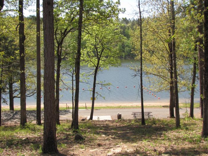
Coon Creek provides 32 sites, each with water and 50-amp electric hookups. Additional amenities include hot showers, a boat ramp, swimming beach, dump station and a playground.

Natural Features

Gillham Lake spans 1,370 surface acres and boasts 36 miles of shoreline. The lake stems from the Cossatot River, designated as a National Wild and Scenic River.

Nearby Activities

  • Boating
  • Camping
  • Fishing
  • Hiking
  • Hunting
  • Swimming site

Gallery

Directions

From Gillham on Hwy 71, go east on Tower Rd. for 1.3 miles; Turn left onto Gillham Lake Rd. for 4.3 miles; Turn left onto Polk Road 474 for 1.7 miles.

GPS Coordinates

Latitude 34° 13′ 19.9099″ N

Longitude 94° 14′ 38.0400″ W

Categories
Uncategorized

Horseshoe Bend

This recreation area is part of Dierks Lake

Directions

GPS Coordinates

Latitude 34° 8′ 25.5162″ N

Longitude 94° 5′ 37.7143″ W

Categories
Uncategorized

Blue Ridge Park

This recreation area is part of Dierks Lake

Directions

GPS Coordinates

Latitude 34° 11′ 34.8969″ N

Longitude 94° 5′ 44.8211″ W

Categories
Uncategorized

JEFFERSON RIDGE

Overview

Jefferson Ridge Campground is located on Dierks Lake in southwestern Arkansas. Rugged ridges bordering the lake create stunning views, and visitors enjoy boating, fishing, swimming and hunting.

Recreation

The 1360-acre lake offers excellent boating, canoeing, kayaking and swimming opportunities. Dierks Lake is known for its excellent bass and crappie fishing.

Hunters will find nearly 600 acres of public hunting lands in the upper reaches of the project. Game species include white-tailed deer, bobwhite quail, mourning dove, grey and fox squirrel, cottontail rabbit and a variety of waterfowl.

Facilities

This year-round campground offers 85 family sites and two day-use group picnic shelters, all with electric and water hookups. Several sites located at the water’s edge.

Amenities include flush toilets, showers, drinking water and two dump stations. A playground, two swimming beaches and two boat ramps provide additional recreation opportunities.

Natural Features

Dierks Lake is in the Ouachitas region of Arkansas and sits on the Saline River. The lake shore is forested with a mixture of hardwoods and pine.

Nearby Attractions

A day trip to Crater of Diamonds State Park in Murfreesboro, Arkansas, just 30 miles from the park, is a popular activity. The diamond mine is the only one of its kind in the country, where visitors get to keep any diamonds and semi-precious stones they unearth, regardless of value.

Nearby Activities

  • Boating
  • Camping
  • Fishing
  • Hiking
  • Hunting
  • Wildlife viewing
  • Swimming site

Gallery

Directions

From Dierks, Arkansas, travel 5 miles west on US-70, then 5 miles north on Green Chapel Road. Follow signs into campground.

GPS Coordinates

Latitude 34° 6′ 25.9999″ N

Longitude 94° 3′ 2.0002″ W

Categories
Uncategorized

PINE RIDGE

Overview

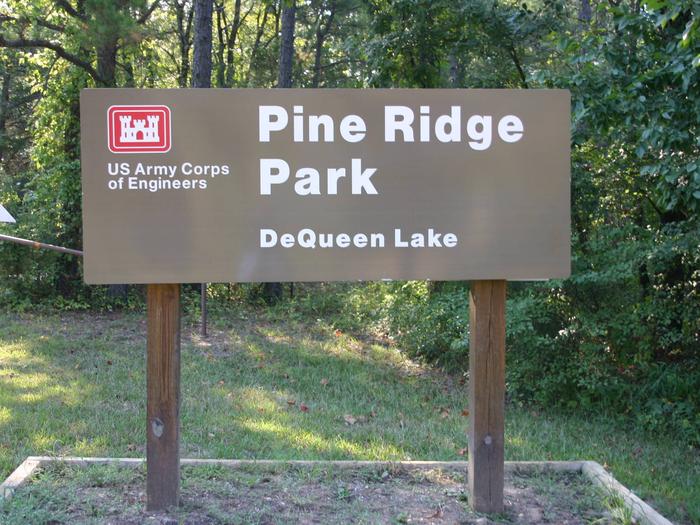
Pine Ridge Campground sits along the shores of DeQueen Lake in southwest Arkansas.

Recreation

Boating and water sports top the list of recreational actives at the lake, and several boat ramps are provided for campers.

Fishing is also a popular pastime, with large mouth bass, small mouth bass, spotted pass, black and white crappie, channel and flathead catfish and various species of sunfish available in abundance. The Arkansas Game and Fish Commission have also stocked hybrid striped bass in the lake.

There are plenty of opportunities for hunting on the lands around the lake. Except for developed recreation areas and lands in the vicinity of the dam, all project lands are open to the public for hunting. Game species include bobwhite quail, mourning dove, turkey, fox squirrel, gray squirrel, cottontail rabbit and deer.

Although DeQueen Lake does not have a designated hiking trail, the vast expanse of land is open to the public and hiking activities are welcomed anywhere on project lands.

Facilities

Pine Ridge Campground offers 45 spacious campsites, along with one large reservable group picnic shelter. Campsites include modern amenities like flush toilets, showers and drinking water.

Natural Features

DeQueen Lake is part of a dam project located on the Rolling Fork River. The dam, completed in 1977, was built for flood control and water supply, and now provides a recreational oasis for thousands of campers each year.

The lake boasts 32 miles of shoreline to its visitors, along with 8,700 acres of rolling green landscape.

Nearby Attractions

The nearby town of DeQueen, Arkansas, offers gas, grocery and medical services.

Nearby Activities

  • Boating
  • Camping
  • Fishing
  • Hunting

Gallery

Directions

From DeQueen, AR, take Highway 71 north for 3 miles. Turn west onto DeQueen Lake Road and continue for 5.5 miles, then turn west again onto County Road and follow signs into the campground.

GPS Coordinates

Latitude 34° 4′ 52.0000″ N

Longitude 94° 22′ 52.0000″ W