Categories
Uncategorized

DOWNSTREAM POINT

Overview

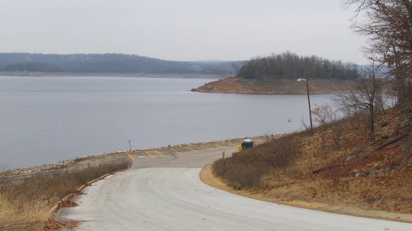
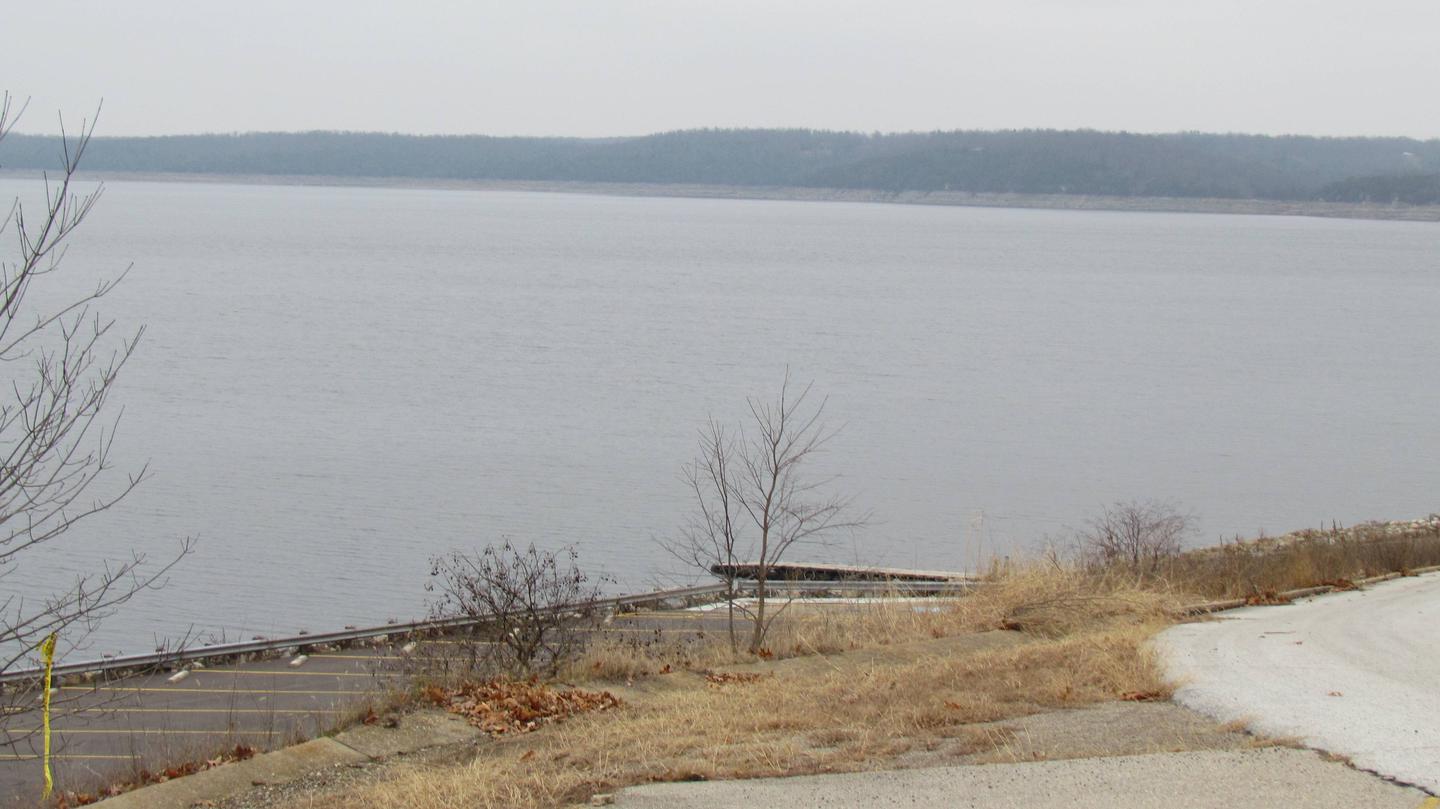
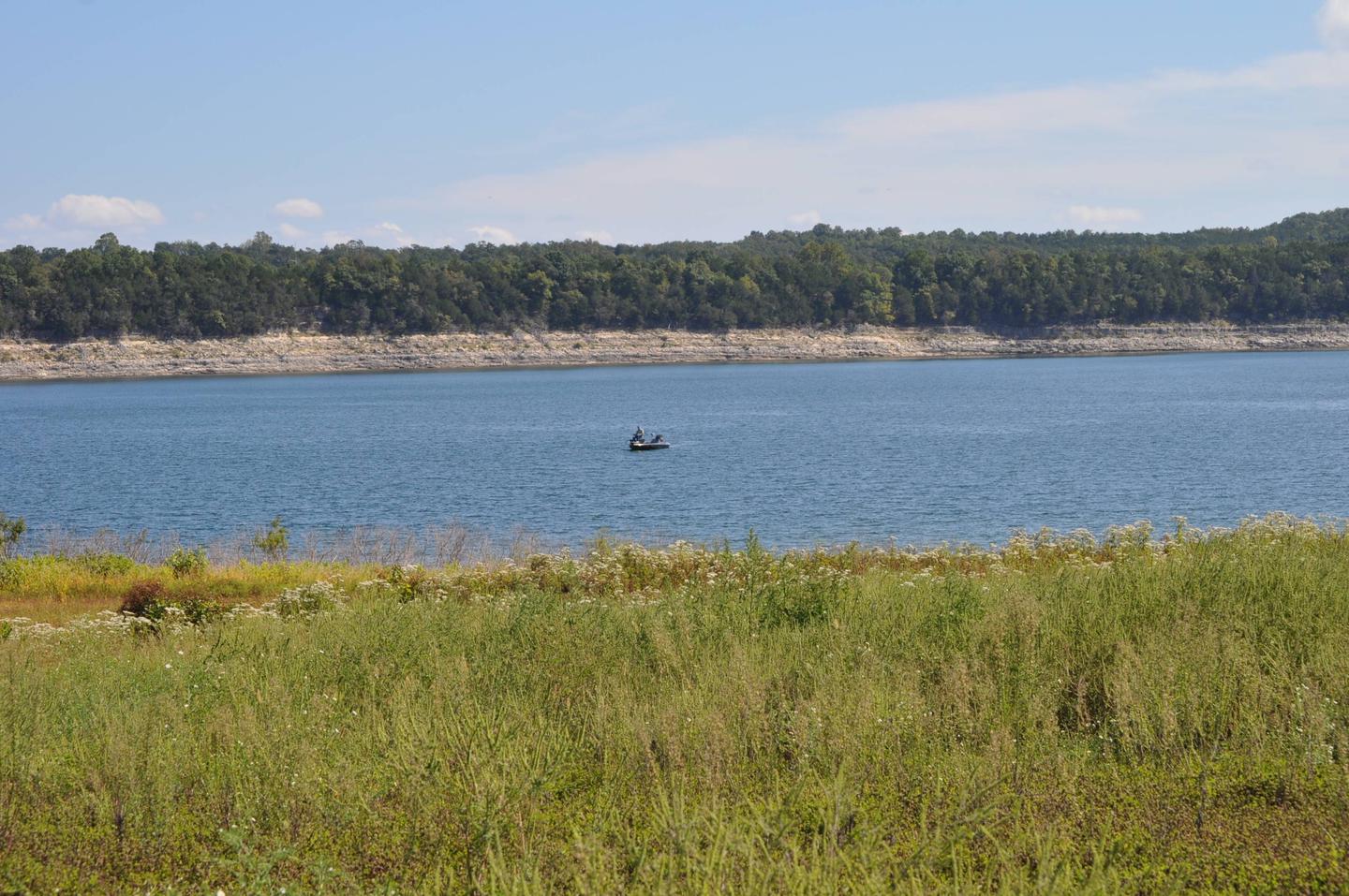
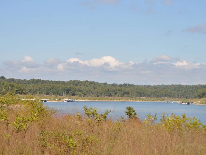
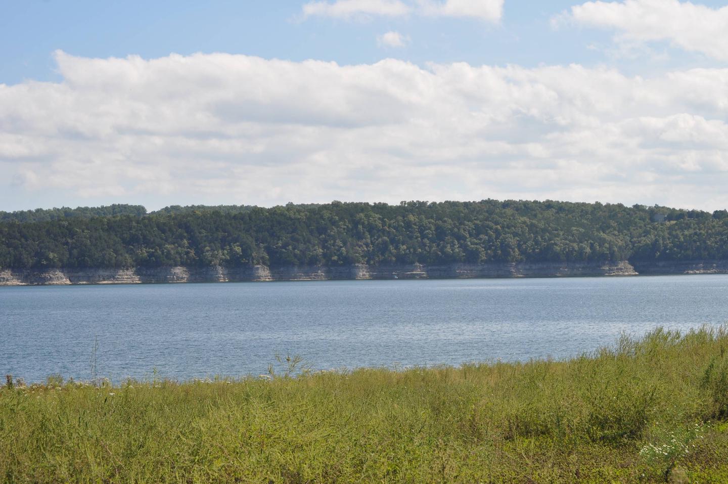
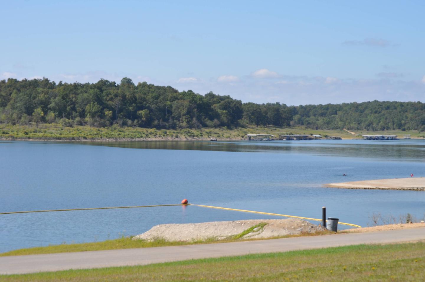
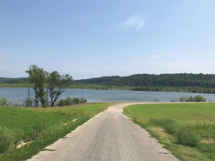
Downstream Point is located on the crystal clear Big Hill Lake in southeast Kansas.

The lake boasts three campgrounds, three equestrian trails and four day-use areas for the public to enjoy.

Picnicking, horseback riding, hiking, swimming, fishing and other outdoor activities abound.

Recreation

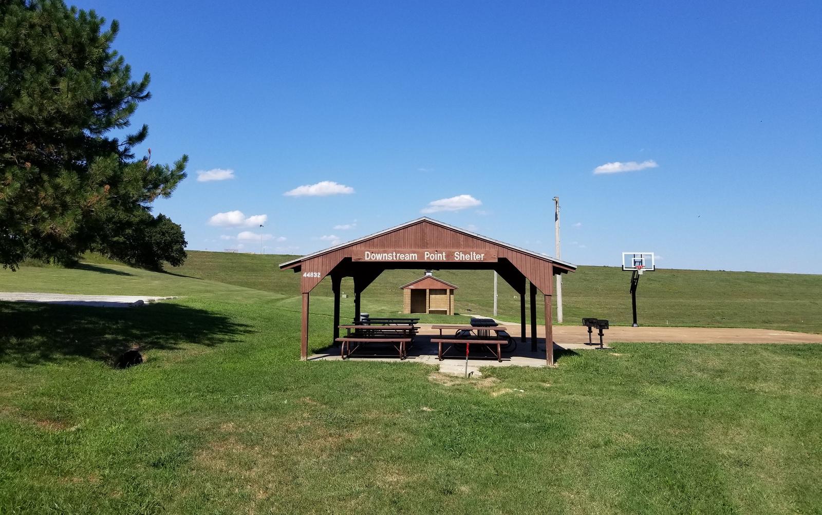
Downstream Point is mostly used as a group picnic area. The facility has basketball courts and is located by the outlet channel.

After picnicking, visitors can venture onto several hiking and equestrian trails nearby including Big Hill Lake Horse Trail, a 17-mile trail with a variety of terrain for all ages to explore, and the Ruth Nixon Trail, named after an early supporter of the lake, which is @ 1 mile long and winds along the western side of the lake.

Big Hill Lake is known for being a trophy lake for fishing. Principal species of sport fish include largemouth bass, crappie, channel and flathead catfish, bluegill, walleye and smallmouth bass. The lake is also popular for fishing tournaments.

Almost all of the land around the lake is open to public hunting, except for parks and areas around the dam and control structures. Principal species hunted are whitetail deer, turkey and squirrel.

Families with kids can cool off during summer heat at a sand-covered beach at nearby Mound Valley Park.

Facilities

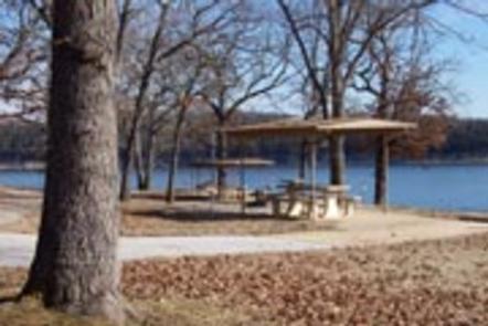
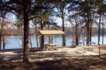
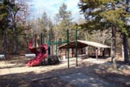
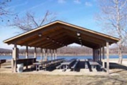
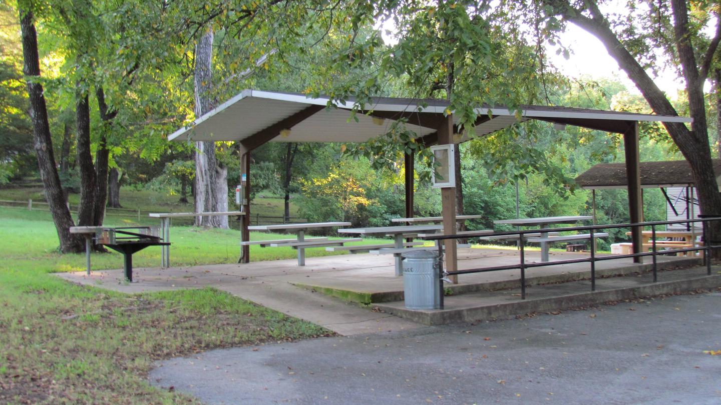
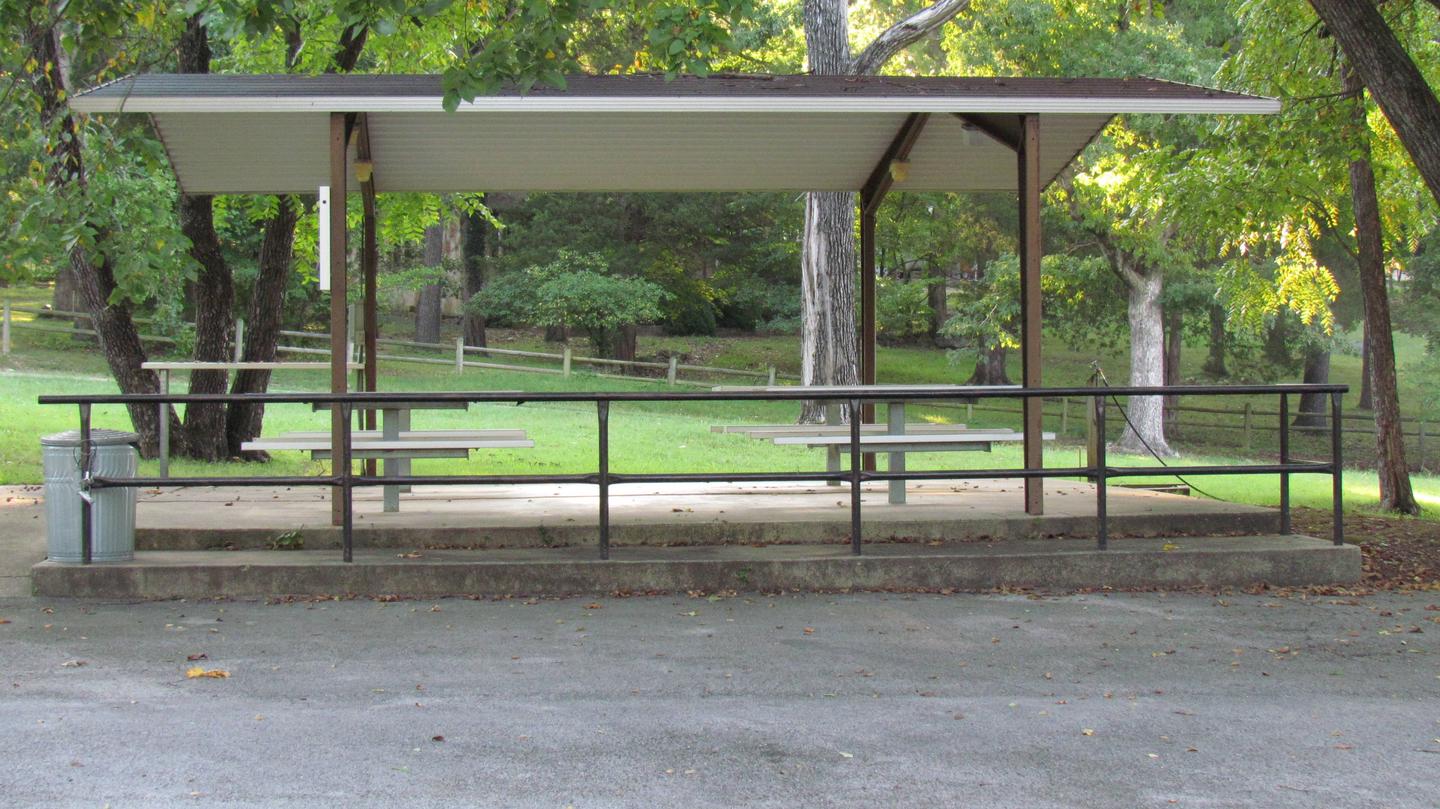
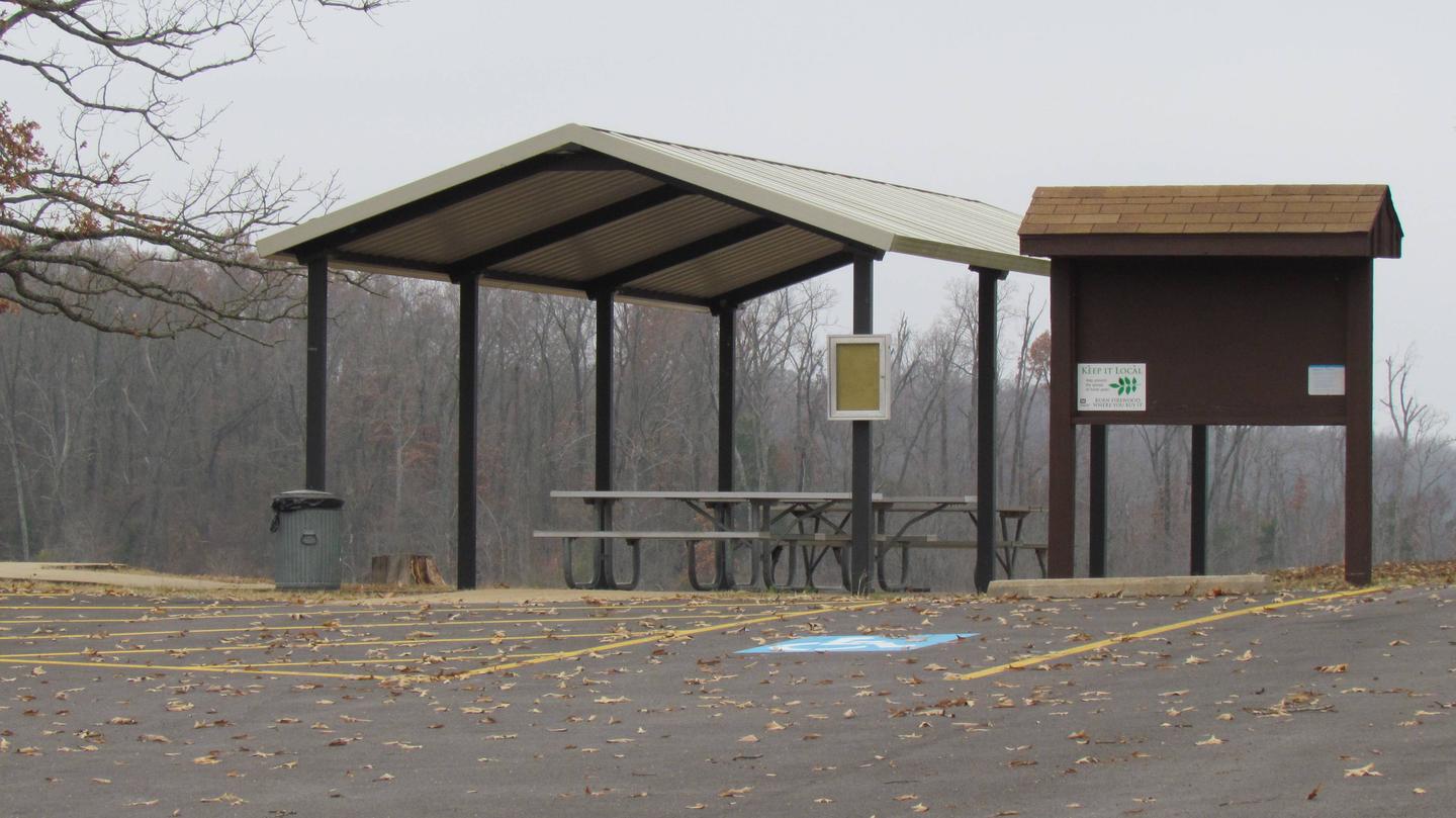
This facility provides a reservable group picnic shelter that can accommodate up to 100 people. The shelter is within walking distance of the lake and provides shade in an otherwise sunny area.

Natural Features

The park is nestled in the rolling, wooded countryside that is referred to as the Little Ozarks.

With thick oak-hickory forests surrounded by prairie and farmland, the lake shore supplies a variety of habitats for birds and mammals.

Nearby Activities

  • Camping
  • Fishing
  • Hunting
  • Swimming site

Gallery

Directions

Take U.S. Highway 169 to Cherryvale, Kansas, and turn east onto Main Street. Continue through the town and turn right at the end of Main Street onto Olive Street. Go 1/2 a block and turn left onto County Route 5000. Proceed 4.5 miles to Big Hill Lake and follow signs to the park.

GPS Coordinates

Latitude 37° 16′ 9.9998″ N

Longitude 95° 27′ 29.9999″ W

Categories
Uncategorized

Bull Shoals State Park

This recreation area is part of Bull Shoals Lake

Directions

GPS Coordinates

Latitude 36° 21′ 12.0132″ N

Longitude 92° 35′ 29.8572″ W
Categories
Uncategorized

Ozark Isle Park

This recreation area is part of Bull Shoals Lake

Directions

GPS Coordinates

Latitude 36° 26′ 34.5354″ N

Longitude 92° 37′ 49.2877″ W

Categories
Uncategorized

Bull Shoals Marina

This recreation area is part of Bull Shoals Lake

Directions

GPS Coordinates

Latitude 36° 22′ 54.5092″ N

Longitude 92° 35′ 44.2964″ W

Categories
Uncategorized

TUCKER HOLLOW PARK

Overview

Tucker Hollow, a small 28-campsite park, sits near the upper part of Bull Shoals Lake. There’s something for everyone at the region’s most popular lake, whether it’s a day basking in the sun, jet skiing, fishing or canoeing.

Recreation

Bull Shoals Lake beckons water sports lovers, birders, naturalists and those who simply want an escape from the city. Hiking and in-season hunting are popular land activities here.

Facilities

The campsites have electric hookups, and all sites offer 50 amp service. Two picnic shelters are available, but these do not have electricity.
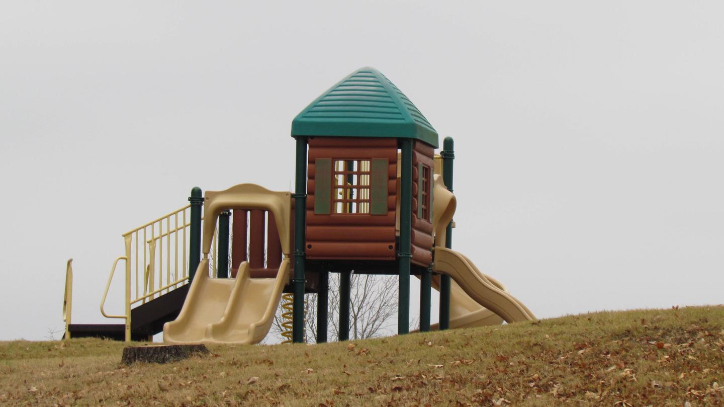
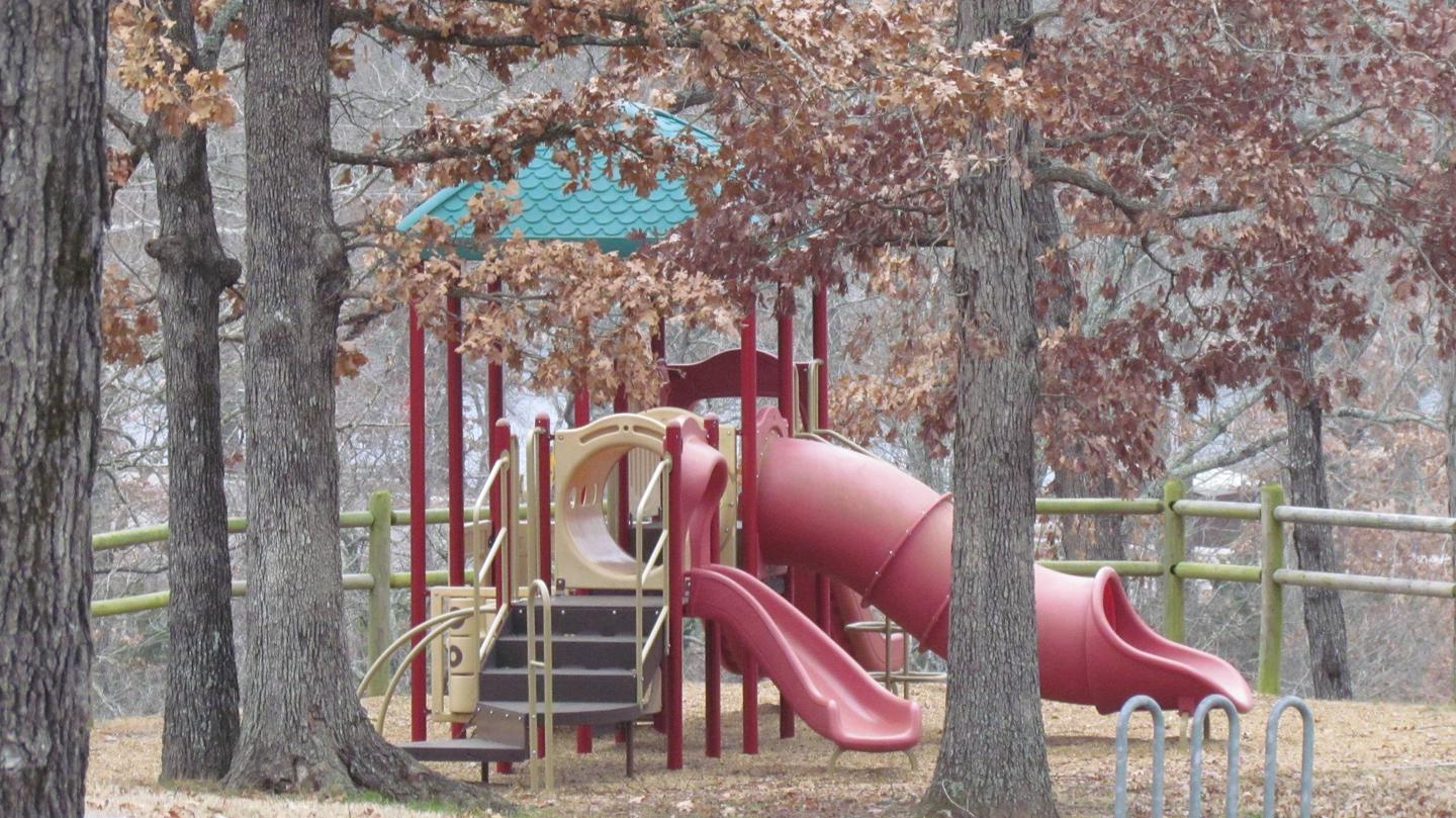
Families will enjoy the swimming beach and the playground.

Natural Features

Bull Shoals Lake is located on the northern edge of central Arkansas. Built in 1951 for flood control, the lake spans 71,000 acres and extends for 80 miles. It’s fed by the White River, which flows through the Arkansas Ozarks.

Nearby Attractions

The Bull Shoals-White River State Park has two highly recommended hiking trails to explore. The Big Bluff Trail offers views of the White River below Bull Shoals Dam, and the Lakeside Trail meanders along the shores of the lake.

Nearby Activities

  • Boating
  • Camping
  • Swimming site

Gallery

Directions

From Lead Hill, AR, travel SR 14 7 mi. NW to SR 281. Travel 3 mi. N on SR
281 and follow signs into campground.
Go 7 miles northwest of Lead Hill, AR, on state highway 14, then 3 miles
north on state highway 281.

GPS Coordinates

Latitude 36° 28′ 34.0000″ N

Longitude 93° 0′ 24.9998″ W

Categories
Uncategorized

LEAD HILL

Overview

Lead Hill Campground is a splendid, sizable campground with plenty of waterfront sites along the shores of Bull Shoals Lake.

The lake, renowned as a haven for water sports enthusiasts, boasts nearly 1,000 miles of shoreline along the Arkansas and Missouri border.

Recreation

Year-round fishing tournaments keep fishermen active as they seek out 12-pound bass. The lake also attracts birders, naturalists, hikers, scuba divers and those who come for all types of motorboat sports.

Facilities

Most of the 75 campsites have canopies over picnic tables for cooling shade, and each one is equipped with electric hookups. The campground also has two group campsites, a playground, designated swim area and a marina.

Natural Features

Lead Hill is on the Arkansas side of Bull Shoals, which stretches across the border of Arkansas and Missouri. Bull Shoals Lake, formed by a dam built in 1951, stems from the White River in the Ozark Mountains, and eventually flows into the Mississippi.

Nearby Attractions

Cruise around the lake to see the many public parks operated by the Army Corps of Engineers. These parks cover additional swim areas, 11 marinas and several hundred miles of undeveloped land and coves.

Nearby Activities

  • Boating
  • Camping
  • Swimming site

Gallery

Directions

From Lead Hill, AR, travel 4 mi. on SR 7 N and follow signs into campground.

GPS Coordinates

Latitude 36° 28′ 28.9999″ N

Longitude 92° 55′ 18.9998″ W

Categories
Uncategorized

LAKEVIEW PARK

Overview

Lakeview Park Campground is located on Bull Shoals Lake. Set in the scenic Ozark Mountains of northern Arkansas and southern Missouri, the lake has hundreds of miles of lake arms and coves perfect for boating, water sports, swimming, fishing and scuba diving.

The lake also appeals to birders, naturalists, hunters and visitors seeking a fun and peaceful place to relax along the water.

Recreation

The lake is a water sports paradise. Marinas offer boat rentals, supplies and guides for hire. Year-round fishing tournaments keep fishermen active as they seek out 12-pound bass and other species ranging from pan fish to walleye. The lake holds several state fishing records and the nearby White River is a premier trout fishery in the central United States.

There is also a 1.5-mile nature trail that begins in the campground.

Facilities

Lakeview Park Campground offers 78 campsites, all with electric hookups, along with two large group shelters.

Amenities like hot showers, flush toilets, a dump station, boat ramp, swimming area and playground make this campground popular among boaters, fishermen and families.

Natural Features

Lakeview is a large park with wooded campsites on a bluff overlooking the water. The lake and surrounding mountains are popular year-round as each season unfolds a new panorama. Summer contrasts lush green hardwoods and cedar glades against towering rocky bluffs and unusual rock formations. Fall foliage presents the renowned "flaming fall revue."

Watching and photographing wildlife can be enjoyed in developed and undeveloped areas alike. Each year more than 100 bald eagles winter in the Bull Shoals area.

Nearby Attractions

Cruise around the lake to see nearly 20 other public parks and hundreds of miles of undeveloped land and coves around the lake, which include additional swim areas and 11 marinas.

Nearby Activities

  • Boating
  • Camping
  • Fishing
  • Hiking
  • Wildlife viewing
  • Swimming site

Gallery

Directions

From Mountain Home, Arkansas, take State Route 5 north for 6 miles to Midway. Turn left on State Route 178 and follow for 7 miles to Lakeview. Turn right on Boat Dock Road and follow signs into the campground.

GPS Coordinates

Latitude 36° 22′ 36.0001″ N

Longitude 92° 32′ 48.9998″ W

Categories
Uncategorized

HIGHWAY 125 PARK BULL SHOALS

Overview

Enjoy the beautiful scenery overlooking Bull Shoals Lake, known in the area as a water sports paradise.

The park is a departure point for the Peel Ferry, which connects Highway 125 from Arkansas to Missouri. Peel Ferry is Arkansas’ last remaining free ferry. It runs year-round and saves drivers a 50-mile journey around the lake.

Recreation

The surplus of water activities keep visitors entertained for many days of vacation. Hiking and birding are also rewarding pastimes here.

Facilities

The 39 campsites are equipped with electric hookups, drinking water and showers. The site has a designated swimming area and marina.

Groups of up to 50 can reserve the group picnic shelter, which is beside the playground.

Natural Features

Blue Shoals Lake spans more than 71,000 acres across the northern edge of Arkansas and the southern edge of Missouri. The lake was created in 1951 with the completion of the massive concrete dam, Blue Shoals Dam.

The lake is surrounded by dense forest along the rolling foothills of the Arkansas Ozarks.

Nearby Attractions

Visit the Bull Shoals-White River State Park and explore its two hiking trails: the Big Bluff Trail and the Lakeside Trail. Consider a ferry ride to explore scenic drives on the Missouri side of the lake.

Nearby Activities

  • Boating
  • Camping
  • Swimming site

Gallery

Directions

From Yellville, AR. take SR 14 for 14 miles northwest to SR 125, go north on SR 125 for 13 miles. Follow signs into campground.

GPS Coordinates

Latitude 36° 29′ 22.9999″ N

Longitude 92° 46′ 22.0001″ W

Categories
Uncategorized

BUCK CREEK (MO)

Overview

Relax in the shaded campsites at Buck Creek, on the Arkansas side of the massive Bull Shoals Lake. Here, there’s plenty of opportunities for water sports, hiking and picnicking.

The Peel Ferry, the last remaining state-operated ferry in Arkansas, leaves from Buck Creek. It connects Highway 125 from Arkansas to Missouri for convenient access to the lowers stretches of the lake.

Recreation

Bull Shoals Lake has great appeal to jet skiers, water skiers, fishermen, birders, hikers and those who just want to "get away from it all."

Fall foliage in the area attracts lots of visitors for an annual celebration called the Flaming Fall Revue.

Facilities

All but two of the 38 sites have electric hookups. The campground caters to kids with a playground and swimming area, and campers with boats can make use of the launch ramp.

Natural Features

Bull Shoals Lake, spanning upwards of 71,000 acres, is fed from the White River. The river flows from northwest Arkansas to south-central Missouri, and then loops back into central Arkansas where it eventually flows into the Mississippi River. The lake is lined with hardwoods and cedar.

Nearby Attractions

Visit the Bull Shoals-White River State Park and explore its two hiking trails. The Big Bluff Trail presents views of the White River below Bull Shoals Dam, and the Lakeside Trail meanders along the shores of the lake.

Nearby Activities

  • Boating
  • Camping
  • Swimming site

Gallery

Directions

From Mountain Home, AR, take SR 5 N 24 mi. to US 160 JCT. Travel W on US
160 21 mi to Hwy U. Follow SR U 5 mi. S to US 125 for 5.7 mi. to Buck
Creek Park Access Road. Follow signs into campground.

GPS Coordinates

Latitude 36° 29′ 39.9998″ N

Longitude 92° 47′ 46.0000″ W

Categories
Uncategorized

BEAVER CREEK (MO)

Overview

Escape from the hustle and bustle of city-life at Beaver Creek, a small, quiet campground tucked between a forested area and the lower shores of Bull Shoals Lake. The lake, in the beautiful Ozark Mountains, attracts visitors year-round as each season unfolds a new panorama.

Recreation

Hiking, birding, all types of water sports, and in-season hunting are featured attractions.

Spring and fall are the best seasons for fishing, but spotted bass, crappie and similar fish can be sought throughout the year.

Facilities

Beaver Creek hosts 33 campsites with electrical hookups and hot showers. A group shelter, playground and marina are also on-site.

Natural Features

The campground is in south-central Missouri along the Beaver Creek arm of Bull Shoals Lake. Sturdy, green hardwoods and cedar glades encompass the rocky bluffs and unique rock formations of the mountains.

Nearby Attractions

Visit the Jones Point State Wildlife Management Area for promising wildlife spotting and birding.

The lively tourist town of Branson is just 30 minutes away. Here, visitors can shop, dine and find live music.

Nearby Activities

  • Boating
  • Camping

Gallery

Directions

From Mountain Home, AR, travel north on State Route 5 for 24 miles to US 160. Follow 160 west for 42 miles to Kissee Mills, MO to junction of State Route O; go left on State Route O. Follow signs to the park.

GPS Coordinates

Latitude 36° 38′ 22.9999″ N

Longitude 93° 2′ 44.9999″ W