This recreation area is part of Fort Gibson Lake
Directions
GPS Coordinates
Latitude 35° 52′ 44.0500″ N
Longitude 95° 16′ 40.4323″ W
This recreation area is part of Fort Gibson Lake
Latitude 35° 52′ 44.0500″ N
Longitude 95° 16′ 40.4323″ W
This recreation area is part of Fort Gibson Lake
Latitude 36° 8′ 5.8570″ N
Longitude 95° 17′ 46.2087″ W
This recreation area is part of Fort Gibson Lake
Latitude 36° 10′ 32.3673″ N
Longitude 95° 16′ 44.7582″ W
This recreation area is part of Fort Gibson Lake
Latitude 36° 0′ 17.1540″ N
Longitude 95° 15′ 51.9588″ W
This recreation area is part of Fort Gibson Lake
Latitude 35° 57′ 6.8364″ N
Longitude 95° 18′ 31.8240″ W
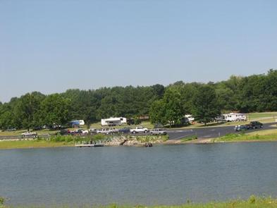
Taylor Ferry South is a heavily wooded campground that provides an abundance of shade for rest and relaxation. Conveniently located off Highway 51, users can easily access the main body of the lake for a variety of water activities. As an added bonus, there are several stores and marinas nearby for supplies and equipment rentals. Boat and RV storage locations are within a mile of the campground.
The nearly 20,000-acre lake offers excellent boating and swimming opportunities.
Anglers enjoy fishing for black bass, white bass, crappie and several varieties of catfish and panfish.
The lake’s 225 miles of shoreline are home to thousands of acres of public hunting lands, where white-tailed deer, bobwhite quail, mourning dove, duck, geese, cottontail rabbit and squirrel roam.
This year-round campground offers 95 sites, 89 of which have electric hookups.
Amenities include flush and pit toilets, drinking water, showers, a dump station and boat ramp.
The area around Taylor Ferry South is primarly an oak-hickory forest; however, the entrance road is lines with pines. Most of the rocky shoreline within the campground has a gradual slope to the water’s edge for easy access. A man made sandy swim beach with playground equipment is located across the highway from the campground.
Historic Fort Gibson, established in 1824, served as an important military post on the western frontier for close to 70 years. Now a National Historical Landmark, the site is open to the public year round.
Volunteers reenact the lifestyle of the late 1800s during various events held throughout the year. A reconstructed log stockade, and original barracks, hospital, bakehouse and other structures still stand today.
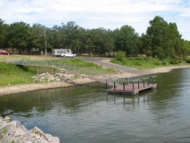
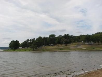
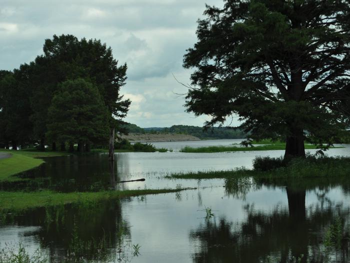

Address for GPS: Taylor Ferry South Campground, 33814 E. 746 Rd., Wagoner, OK 74467
From Wagoner, Oklahoma, travel 5 miles east on Highway 51. Turn left on South 330 Road and travel south for approximatly 1/4 mile. Turn left on East 746 Road and travel less than 1 mile to the entrance gate and check in station.
Latitude 35° 56′ 26.9999″ N
Longitude 95° 16′ 34.0000″ W
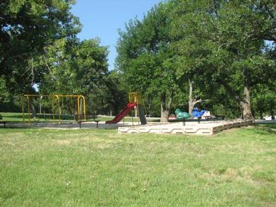
Rocky Point is located on the upper end of Fort Gibson Lake where Flat Rock Creek meets the main channel. This year-round campground offers a sandy swim beach, playground equipment and one of the best boat ramps on Fort Gibson Lake. Rocky Point Store is conveniently located direcly outside the park gates for sandwiches, pizza, ice and fuel. The store also maintains a small inventory of grocery and camping items.
The nearly 20,000-acre lake offers excellent boating and swimming opportunities.
Anglers enjoy fishing for black bass, white bass, crappie and several varieties of catfish and panfish.
The lake’s 225 miles of shoreline are home to thousands of acres of public hunting lands, where white-tailed deer, bobwhite quail, mourning dove, duck, geese, cottontail rabbit and squirrel roam.
This year-round campground offers 59 campsites and one group day-use picnic shelter, all with electric hookups. An additional 3 campsites with canopies and no hookups are available on a first come – first serve basis.
Rocky Point is unique on Fort Gibson Lake by offering a designated swim beach within the park. Additional amenities include drinking water, flush and pit toilets, showers, 2 dump stations, 3 boat ramps and a courtesy dock.
Rocky Point offers steep rocky bluffs on the eastern edge of the park and thick wooded timber of the western edge. A cove between the two sides offers boaters a calm location to moor boats.
Historic Fort Gibson, established in 1824, served as an important military post on the western frontier for close to 70 years. Now a National Historical Landmark, the site is open to the public year round.
Volunteers reenact the lifestyle of the late 1800s during various events held throughout the year. A reconstructed log stockade, and original barracks, hospital, bakehouse and other structures still stand today.
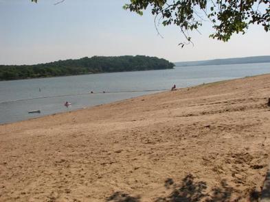

From Wagoner, Oklahoma: travel 4.5 miles north on Highway 69. Turn right at stoplight on East 690 Road. Travel 3 miles east. Turn left on South 320 Road and travel north for 3/4 mile to park entrance.
Latitude 36° 1′ 59.0002″ N
Longitude 95° 18′ 59.0000″ W
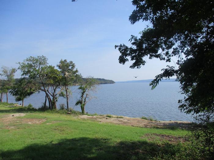
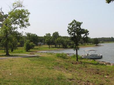
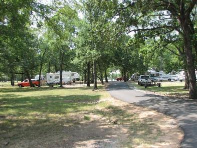
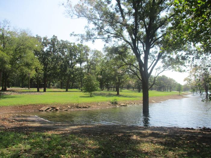
Flat Rock Creek is located on the east shore of Flat Rock Bay on Fort Gibson Lake In northeastern Oklahoma. The park offers a chance to view spectacular sunsets. Even though this campground is a little off the beaten path, it has a strong and loyal following.
Campers love the remote setting and family friendly atmosphere.
The nearly 20,000-acre lake offers great boating and swimming opportunities.
Anglers enjoy fishing for black bass, white bass, crappie and several varieties of catfish and panfish.
The lake’s 225 miles of shoreline are home to thousands of acres of public hunting lands, where white-tailed deer, turkey, mourning dove, duck, geese, cottontail rabbit and squirrel roam.
This seasonal campground offers 30 family sites and one group day-use picnic shelter, all with electric hookups. An additional site without hookups is available on a first come, first served basis. Visitors can enjoy all the facilites 9 months out of the year, March 1 – November 30. Park gates are locked December – February.
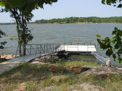
Amenities include flush and pit toilets, drinking water, showers, a dump station and boat ramp.
An oak-hickory woodland covers the rolling hills of the region. The protected shallow cove provides an ideal location for kayaks and canoes.
Historic Fort Gibson, established in 1824, served as an important military post on the western frontier for close to 70 years. Now a National Historical Landmark, the site is open to the public year round.
Volunteers reenact the lifestyle of the late 1800s during various events held throughout the year. A reconstructed log stockade, and original barracks, hospital, bakehouse and other structures still stand today.

Address for GPS: Flat Rock Creek, 31291 E. 670 Rd., Chouteau, OK 74337
From Tulsa, OK: Travel east on Highway 412 to Highway 69, take the Wagoner, Oklahoma exit. Travel south on Highway 69 for 7 miles. Turn left on East 655 Road and travel east for 3 miles. Turn right on South 320 Road. Travel south for 1 mile. Turn right on East 670 Road and travel west for approximately .7 mile to park entrance gates.
Latitude 36° 2′ 44.0002″ N
Longitude 95° 19′ 36.9998″ W
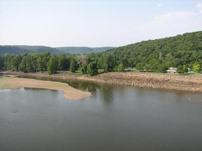
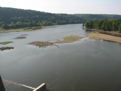
Dam Site Campground is situated below Fort Gibson Dam on the west bank of the Grand River in northeastern Oklahoma. The campground was severely damaged during recent flooding. None of the campsites offer water or electric. Water is available in the park, but it is for filling holding tanks/containers only.
Visitors love the campground for its excellent river access and fantastic fishing opportunities.
The nearly 20,000-acre lake offers great boating and swimming opportunities.
Anglers enjoy fishing for black bass, white bass, crappie and several varieties of catfish and panfish.
The lake’s 225 miles of shoreline are home to thousands of acres of public hunting lands, where white-tailed deer, bobwhite quail, mourning dove, duck, geese, cottontail rabbit and squirrel roam.
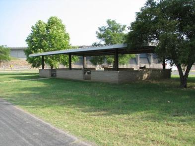
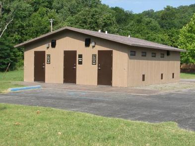
This seasonal campground offers 23 primitive campsites. Large family groups can take advange of the group day use shelter within the park, as well as, one located at the Overlook. Amenities include flush toilets, showers, a dump station and boat ramp.
Fort Gibson Lake sits nearly 8 miles from the confluence of the Grand and Arkansas Rivers. An oak-hickory woodland covers the rolling hills of the region.
A wide variety of waterfowl migrates through the area annually, providing plenty of opportunities for bird watchers.
Historic Fort Gibson, established in 1824, served as an important military post on the western frontier for close to 70 years. Now a National Historical Landmark, the site is open to the public year round.
Volunteers reenact the lifestyle of the late 1800s during various events held throughout the year. A reconstructed log stockade, and original barracks, hospital, bakehouse and other structures still stand today.
From Fort Gibson, Oklahoma, take Highway 62 and exit onto Lee Street north. Turn right onto Hickory Street and continue for 3 blocks, then turn left onto State Highway 80A/Garrison Street. The road will follow the Grand River to the Fort Gibson Dam. Go west over the dam, then turn left at the end of the dam. The park will be at the bottom of the hill.
Latitude 35° 52′ 4.0001″ N
Longitude 95° 14′ 1.0000″ W
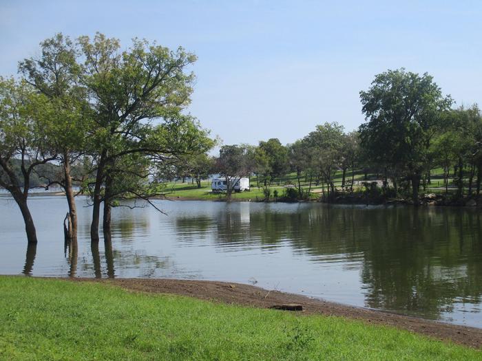
Blue Bill Point is located on the banks of Flat Rock Bay on tranquil Fort Gibson Lake in northeastern Oklahoma. Blue Bill is a peaceful campground popular with family groups and retirees. The gradual sloping shoreline offers easy access to the water for fishing, swimming and mooring boats. This protected shallow cove is an ideal location for kayaks and canoes.
The nearly 20,000-acre lake offers excellent boating and swimming opportunities.
Anglers enjoy fishing for black bass, white bass, crappie and several varieties of catfish and panfish.
The lake’s 225 miles of shoreline and thousands of acres of public hunting lands are abundant with wildlife.
This seasonal campground offers 40 family sites and one group day-use picnic shelter, all with electric hookups. Three additional primitive sites without hookups are available. The campground is open 9 months out of the year, March 1 – November 30.
Amenities include flush and pit toilets, drinking water, showers, a dump station, 2 boat ramps and courtesy dock.
Blue Bill Point is surrounded by a mixed hardwood forest. A small fishing pond is located a short distance outside the campground. Cultivated fields offer an opportunity to view wildlife as they graze or cross these open areas.
Historic Fort Gibson, established in 1824, served as an important military post on the western frontier for close to 70 years. Now a National Historical Landmark, the site is open to the public year round.
Volunteers reenact the lifestyle of the late 1800s during various events held throughout the year. A reconstructed log stockade, and original barracks, hospital, bakehouse and other structures still stand today.

Address for GPS: Blue Bill Point Campground, 67260 S. 307 Rd., Wagoner, Oklahoma 74467.
From the intersection of US Highway 69 and State Highway 51 in Wagoner, Oklahoma, travel north on Highway 69 for 5.5 miles. Turn right on East 680 Road and travel east for 1 mile. Follow curve to the left and travel south for another mile. Follow curve to the right and travel east for an additional mile to park entrance.
Latitude 36° 2′ 33.0000″ N
Longitude 95° 20′ 3.9998″ W