This recreation area is part of Hulah Lake
Directions
GPS Coordinates
Latitude 36° 55′ 29.7132″ N
Longitude 96° 5′ 57.5375″ W
This recreation area is part of Hulah Lake
Latitude 36° 55′ 29.7132″ N
Longitude 96° 5′ 57.5375″ W
This recreation area is part of Hugo Lake
Latitude 0° 0′ 0.0000″ S
Longitude 0° 0′ 0.0000″ W
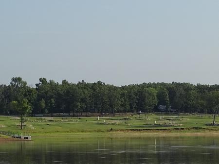
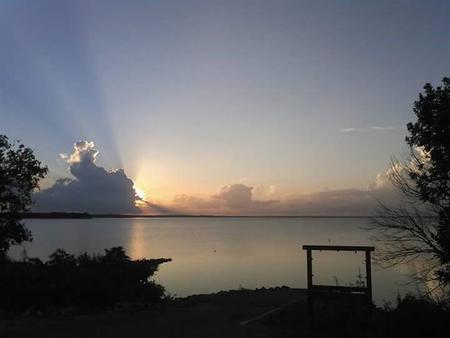
Virgil Point Campground is a large, grassy campground in a forested expanse of southeast Oklahoma. The camp is perched along the banks of Hugo Lake, providing guests with plenty of recreational opportunities.
Hugo offers activities for many differetn types of recreation.
There are always fish to be caught in the Kiamichi River and in Hugo Lake. The northern half of Hugo Lake is flooded timber, which offers exceptional fishing opportunities. From early sand bass and slab crappie to late season fall bass, anglers will always find opportunities. The catfishing is excellent during the summer.
Hunters are welcome to enjoy over 25,000 acres of land managed by either the Army Corps of Engineers or Oklahoma Department of Wildlife Conservation. Bow hunting is permitted in and around most the park areas. Kiamichi Park features an archery practive range, a shooting range, and a 3,000-acre Quality Deer Management Area.
Recreational boaters enjoy the wide open lower lake, with it’s open water, beautiful limestone rock walls, and sandy banks.
Nature abounds at Hugo Lake. Wildlife around the lake includes land and waterfowl, whitetail deer, mink, fox and beaver.
Virgil Point Campground features 51 spacious, modern campsites. A boat ramp is available to enhance visitor’s enjoyment of the lake.
Hugo Lake Dam is located on the Kiamichi River, 18 river miles upstream from its confluence with the Red River. The dam, completed in 1974, provides flood control, water supply and fish and wildlife management for nearby communities. It also provides a recreational oasis for outdoor enthusiasts of all types.
A number of historical attractions are located near Hugo Lake, including Native American cultural centers, Civil War headquarters, historic churches and schools. Visit the lake website for more information.
A $10.00 service fee will apply if you change or cancel your reservation. Late cancellations are subject to additional fees. For full details see Recreatoin1Stop Reservation Policy.
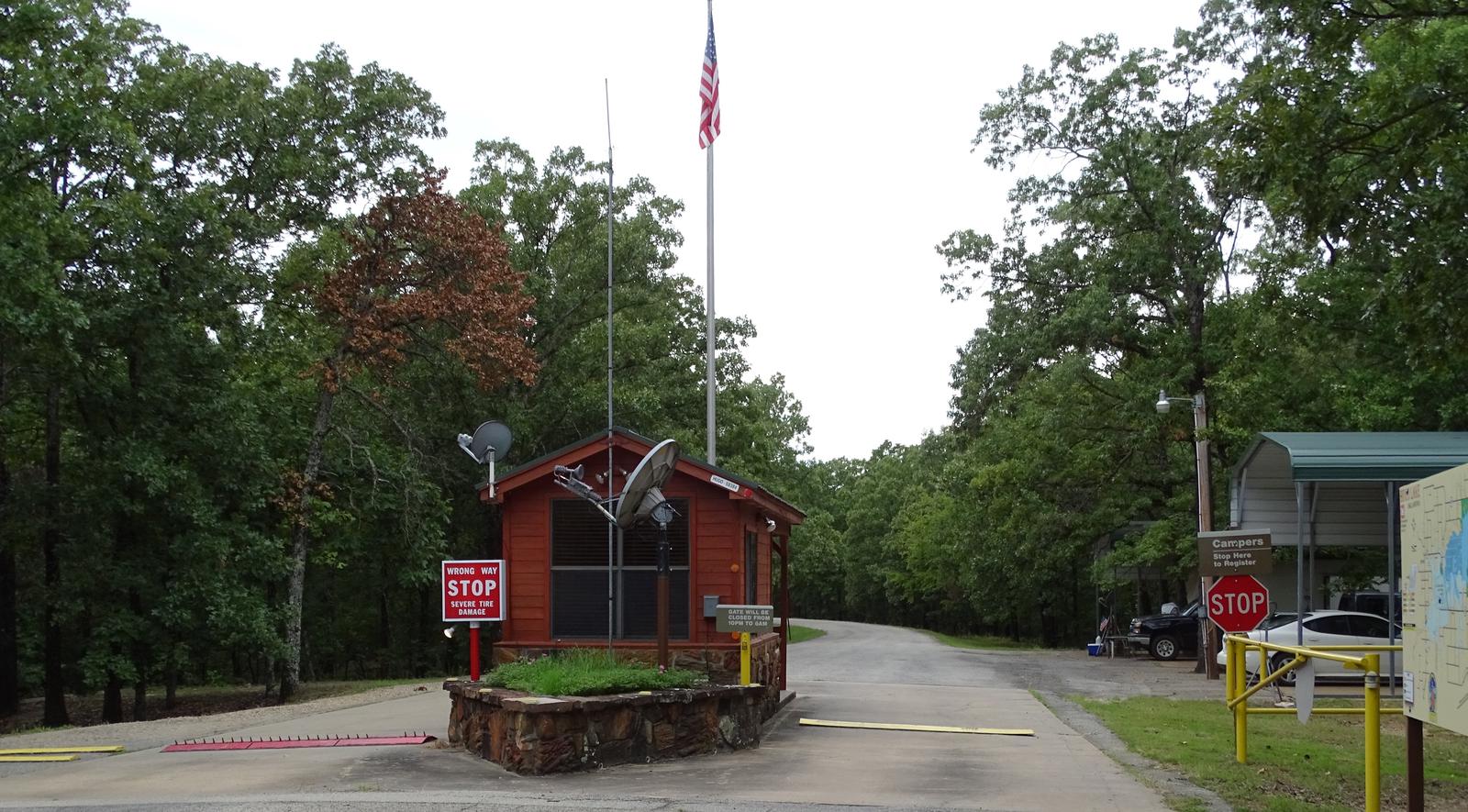

From Hugo, OK, take Highway 70 east for 10 miles, then turn north onto Highway 147. Continue for 2 miles and follow the posted signs to the campground.
Latitude 34° 2′ 8.0002″ N
Longitude 95° 22′ 7.0000″ W
Kiamichi Park Campground is a large, grassy campground in a forested expanse of southeast Oklahoma. The camp is perched along the banks of Hugo Lake, providing guests with plenty of recreational opportunities.
There are always fish to be caught at Hugo Lake. From early sand bass and slab crappie to late season fall bass, anglers will always find opportunities. Hugo Lake also provides excellent catfishing during the summer.
The lake area offers plenty of hunting opportunities, with over 25,000 acres of land available. Bow hunting is permitted in and around most of the park areas. Kiamichi Park features an archery practice range and a 3,000-acre Quality Deer Management Area.
Wildlife around the lake includes waterfowl, bobwhite quail, dove, whitetail deer, mink, fox and beaver.
This large park and it’s miles of paved roads are ideal for biking, jogging, hiking, and sight-seeing. There are also wooded trails for exploring and horseback riding. Equestrian trail riding is accessible from Bobcat Road or Raccoon Road. Equestrian camping is available on Raccoon Road, which offers nine horse stalls.
Kiamichi Park Campground features 85 spacious, modern campsites, along with two large group picnic shelters. A playground and swimming beach make the campground perfect for large parties, youth trips or family functions.
Hugo Lake dam is located on the Kiamichi River, 18 river miles upstream from its confluence with the Red River. The dam, completed in 1974, provides flood control, water supply and fish and wildlife management for nearby communities. It also provides a recreational oasis for outdoor enthusiasts of all types.
A number of historical attractions are located near Hugo Lake, including Native American cultural centers, Civil War headquarters, historic churches and schools. Visit the lake website for more information.
A $10.00 service fee will aplly if you change or cancel your reservation. Late cancellations are subjet to additional fees. For full details see Recreation1Stop Reservation Policy.

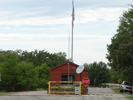
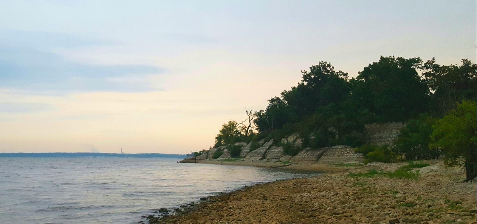
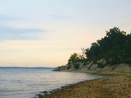
From Hugo, OK, take Highway 70 east for 5 miles and follow the posted signs to the campground.
Latitude 34° 0′ 9.0000″ N
Longitude 95° 24′ 6.0001″ W
Wilson Point Day Use is a large recreational area in a forested expanse of southeast Oklahoma. The park is perched along the banks of Hugo Lake, providing guests with plenty of outdoor activities.
There are always fish to be caught at Hugo Lake. From early sand bass and slab crappie to late season fall bass, anglers will always find opportunities. Hugo Lake also provides excellent catfishing during the summer.
The lake area offers plenty of hunting opportunities, with over 25,000 acres of land available. Bow hunting is permitted in and around most of the park areas. Kiamichi Park features an archery practice range and a 3,000-acre Quality Deer Management Area.
Wildlife around the lake includes waterfowl, bobwhite quail, dove, whitetail deer, mink, fox and beaver.
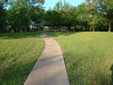
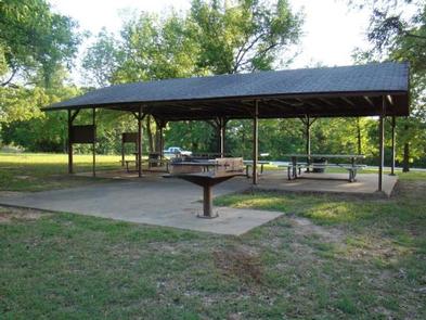
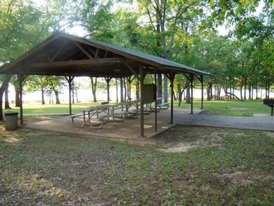
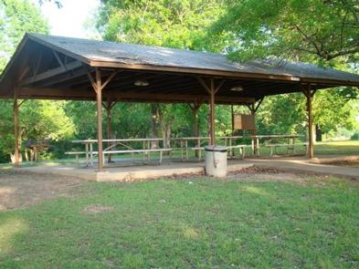
Wilson Point offers a large group picnic shelter, playground, swimming beach, kids fishing pond, and boat ramp. This park is perfect for large parties, youth trips, or family functions.
Hugo Lake Dam is located on the Kiamichi River, 18 river miles upstream from its confluence with the Red River. The dam, completed in 1974, provides flood control, water supply and fish and wildlife management for nearby communities. It also provides a recreational oasis for outdoor enthusiasts of all types.
A number of historical attractions are located near Hugo Lake, including Native American cultural centers, Civil War headquarters, historic churches and schools. Visit the lake website for more information.
A $10.00 service fee will apply if you change or cancel your reservation. Late cancellations are subject to additional fees. For full details see Recreation1Stops Reservation Policy.
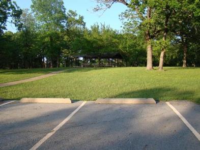
From Sawyer, OK, take Highway 147 north for a mile, then turn left into the day use area.
Latitude 34° 3′ 27.0000″ N
Longitude 95° 23′ 4.9999″ W
The Hugo Lake Group Camp is a large, grassy campground in a forested expanse of southeast Oklahoma. The camp is perched along the banks of Hugo Lake, providing guests with plenty of recreational opportunities.
There are always fish to be caught at Hugo Lake. From early sand bass and slab crappie to late season fall bass, anglers will always find opportunities. Hugo Lake also provides excellent catfishing during the summer.
The lake area offers plenty of hunting opportunities, with over 25,000 acres of land available. Bow hunting is permitted in and around most of the park areas. Kiamichi Park features an archery practice range and a 3,000-acre Quality Deer Management Area.
Wildlife around the lake includes waterfowl, bobwhite quail, dove, whitetail deer, mink, fox and beaver.
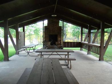
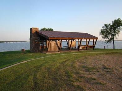
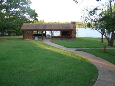
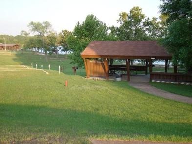
Hugo Lake Group Camp includes four group camping sites, which can accommodate up to 25 guests each. Each of these group camping sites has electrical hook-ups for four to five campers, as well as a large picnic shelter. A shared playground and easy lake access make Group Camp perfect for large parties, youth trips or family functions. Please be aware there is no running water at this facility at this time.
Hugo Lake dam is located on the Kiamichi River, 18 river miles upstream from its confluence with the Red River. The dam, completed in 1974, provides flood control, water supply and fish and wildlife management for nearby communities. It also provides a recreational oasis for outdoor enthusiasts of all types.
A number of historical attractions are located near Hugo Lake, including Native American cultural centers, Civil War headquarters, historic churches and schools. Visit the lake website for more information.
A $10.00 service fee will apply if you change or cancel your reservation. Late cancellations are subject to additional fees. For full detaions see Recreation1Stop Reservation Policy.
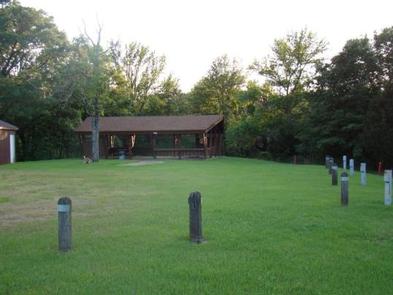
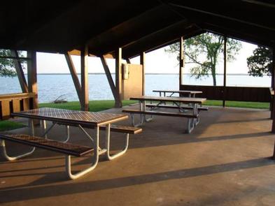
From Sawyer, OK, take Highway 147 north for nearly 4 miles, follow posted signs, and stay with the paved road to the campground.
Latitude 34° 3′ 27.0000″ N
Longitude 95° 23′ 4.9999″ W
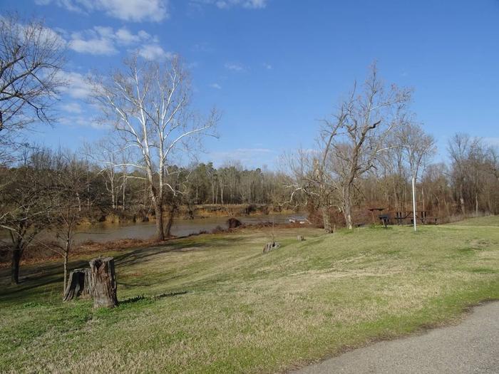
Rattan Landing is small, peaceful campground on the bank of the Kiamichi River. The campground is just north of where the Kiamichi River opens up into the Hugo Lake Resevior located in southeast Oklahoma. Thirteen campsites are nestled into this quiet getaway location; and each site offers a view and a short walk to the river bank. With a boatramp in the park, this is a fishermans’ all-in-one place to come relax.
Hugo offers activities for many different types of recreation.
There are always fish to be caught in the Kiamichi River and in Hugo Lake. The northern half of Hugo Lake is flooded timber, which offers exceptional fishing opportunities. From early sand bass and slab crappie to late season fall bass, anglers will always find opportunities. The catfishing is excellent during the summer.
Hunters are welcome to enjoy over 25,000 acres of land managed by either the Army Corps of Engineers or Oklahoma Department of Wildlife Conservation. Bow hunting is permitted in and around most of the park areas. Kiamichi Park features an archery practice range, and a 3,000-acre Quality Deer Management Area.
Recreational boaters enjoy the wide open lower lake,with its open water, beautiful limestone rock walls, and sandy banks.
Nature abounds at Hugo Lake. Wildlife around the lake includes waterfowl, bobwhite quail, dove, whitetail deer, mink, fox and beaver. There are miles of road to view from, as well as trails to get off the beaten path.
Rattan Landing features 13 modern campsites, a boatramp on site, and direct river access at almost every site.
Rattan Landing is around a 40 acre property that offers woodland wilds, clear fields, and river access. The Kiamichi River is known for good fishing and variable scenery. The river flows into Hugo Lake Reservior, and 18 river miles past the dam it meets up with the Red River. The dam, completed in 1974, provides flood control, water supply and fish and wildlife management for nearby communities. It also provides a recreational oasis for outdoor enthusiasts of all types.
A number of historical attractions are located near Hugo Lake, including Native American cultural centers, Civil War headquarters, historic churches and schools. Visit the lake website for more information.
A $10.00 service fee will apply if you change or cancel your reservation. Late cancellations are subject to additional fees. For full details see Recreatoin1Stop Reservation Policy.
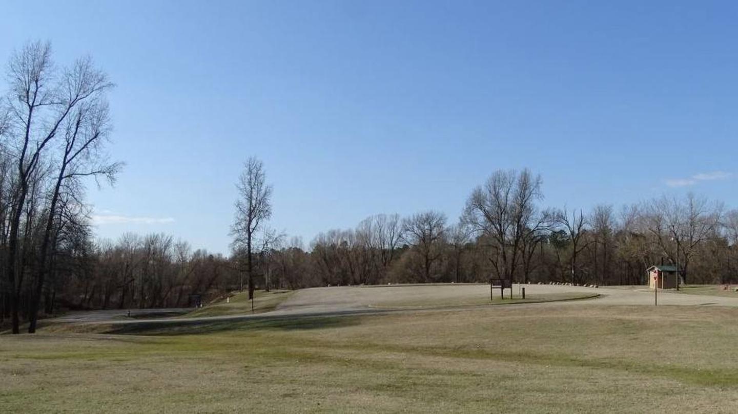

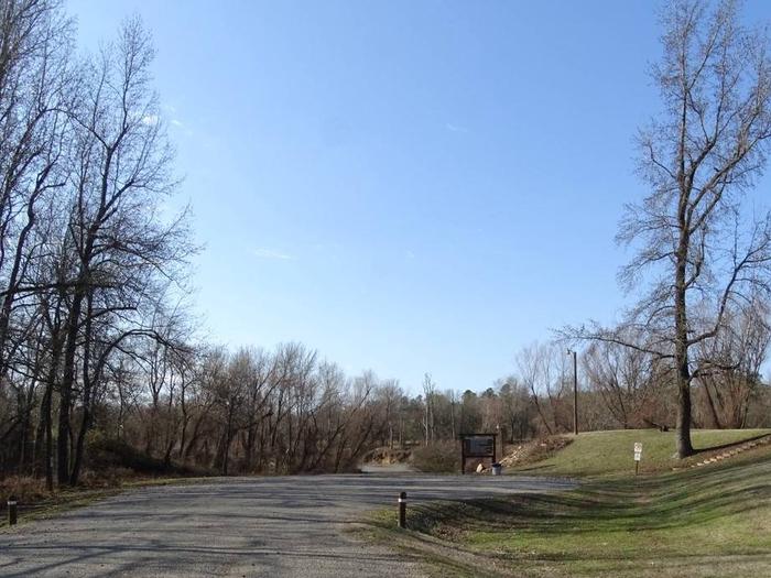
From Rattan, OK take Highway 3 west for 4 miles and the park entrance will be to the left just before the bridge crossing the river.
From Anters, OK take Highway 3 east for 8.5 miles and the park entrance will be on the right as soon as you cross the river.
Latitude 0° 0′ 0.0000″ S
Longitude 0° 0′ 0.0000″ W
This recreation area is part of Heyburn Lake
Latitude 35° 57′ 1.5822″ N
Longitude 96° 17′ 33.5054″ W
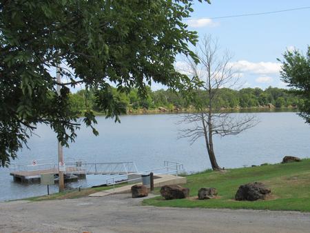
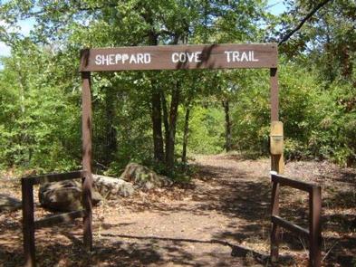
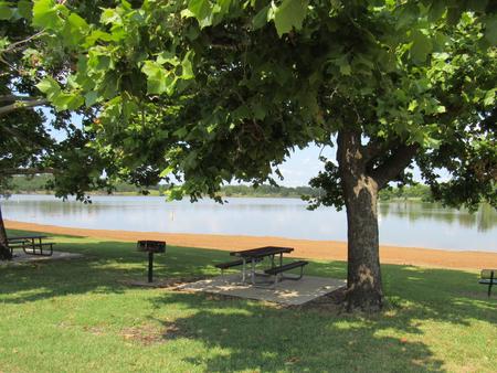
Sheppard Point is an excellent destination for access to Oklahoma’s Heyburn Lake and taking advantage of hiking and sightseeing on the multi-use nature trail.
Sheppard Point offers a handful of equestrian-friendly sites where horses can be kept behind the sites on tether poles, with direct access to the trail system.
Picnicking, horseback riding, hiking, fishing, water skiing, boating, swimming are some of the favorite activities at Heyburn Lake.
Anglers catch catfish, bass and crappie while hunters seek white-tailed deer and wild turkey.
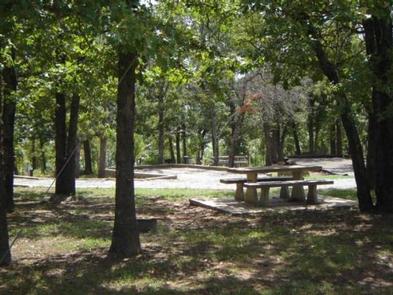
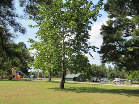
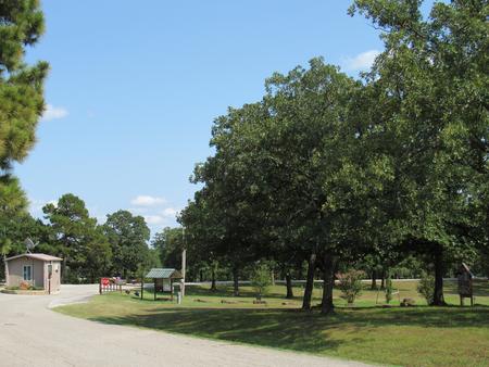
Sheppard Point has a selection of both tent and RV campsites. Perks include hot showers, a boat ramp, playground, swim beach and multi-use trail to the perks. Group picnic shelters are available as well.
Heyburn Lake lies in the Sandstone Hills of the Osage Section of Oklahoma’s central lowlands. The picturesque setting of grasslands and gently sloping, wooded hills, provides a stunning backdrop for recreation in the area.
The area is mostly forested with oaks, blackjack, and the occasional hickory, ash, elm or cottonwood tree. In spring, flowering wild plum and redbud trees add color to the soft, green landscape.
Visitors can explore the various parks at Heyburn Lake including Sunset Bay, Overlook and Heyburn Park. Keystone Lake lies about 20 miles to the north. Tulsa is less than 30 miles to the northeast.
From Sapulpa, take SH33 and go 7 miles west of Kellyville. Exit on Turner
Turnpike. Follow signs 3.5 miles south from SH33.
From Bristow, take SH48 to 48/33 intersection. Go east on SH33 3.5 miles
to 305th W. Ave. Follow signs south from SH33.
Latitude 35° 57′ 24.9998″ N
Longitude 96° 18′ 55.0001″ W
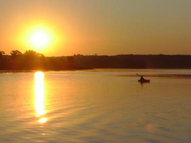
Heyburn Park on Heyburn Lake is in Creek County, best known as Oklahoma’s former Indian Territory. Many of the towns surrounding the lake began as trading posts for the railroad in the 19th century.
Boating, water skiing and fishing are all popular activities on Heyburn Lake. Common catches include crappie, bass and catfish.
During hunting season, project lands provide opportunities for waterfowl and whitetail deer. Heyburn Public Hunting Area covers more than 6,000 acres of project lands and provides hunting opportunities for squirrel, rabbit, quail, waterfowl and wild turkey.
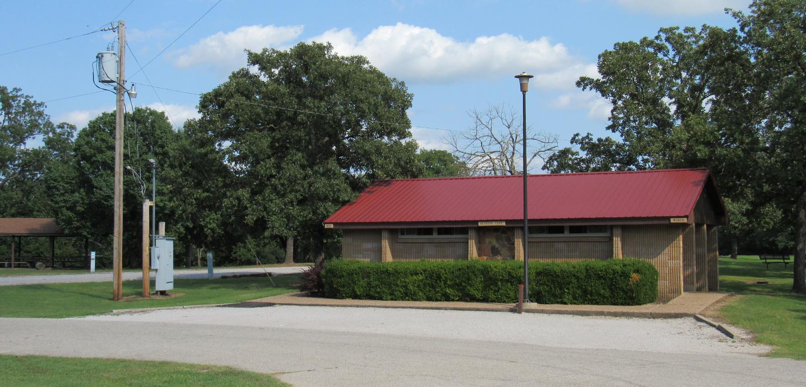
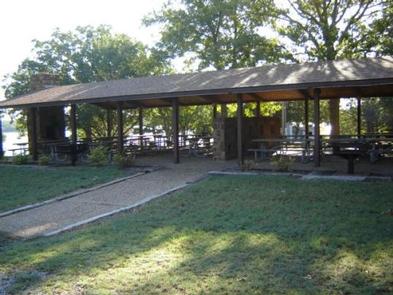
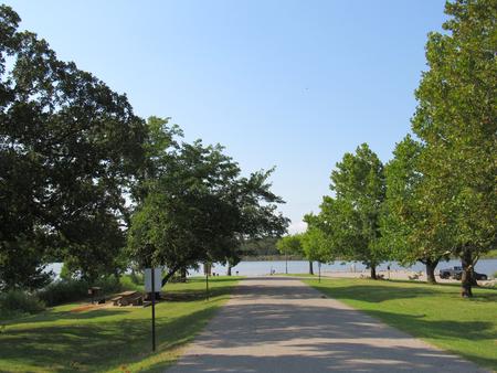
The campground has 46 campsites with water and electric hookups, some of which have 50 amp service. Two group shelters, one with 50 amp camping sites and one day-use shelter by the swim beach, are available.
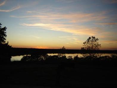
Heyburn lies in a picturesque setting of grasslands and gently sloping, sandstone hills covered with oak trees and scattered with hickory, ash, elm and cottonwood.
In the spring, flowering wild plum and redbud trees add color to the soft, green landscape.
Visitors can explore the various parks of Heyburn Lake including Sunset Bay, Overlook and Sheppard Point. Keystone Lake lies about 25 miles to the north and Tulsa is less than 30 miles northeast.
From Bristow, go 9 miles east and turn left on to 257th West Ave. Follow the paved road about 3 miles to the campground.
From Sapulpa, take State Highway 66 west to Kellyville, turn west on to 151st South Ave and go about 3.5 miles to the 4 way intersection. Turn right and stay on the paved road for about 2 miles until you reach the park.
Latitude 35° 57′ 6.0001″ N
Longitude 96° 16′ 49.0001″ W