Categories
Uncategorized

MAY CREEK CABIN

Overview

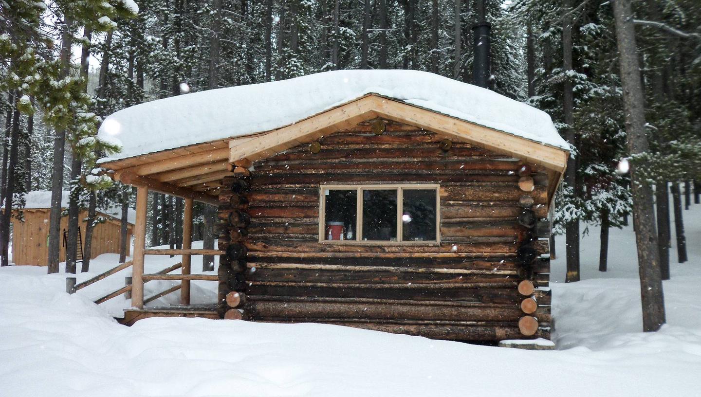
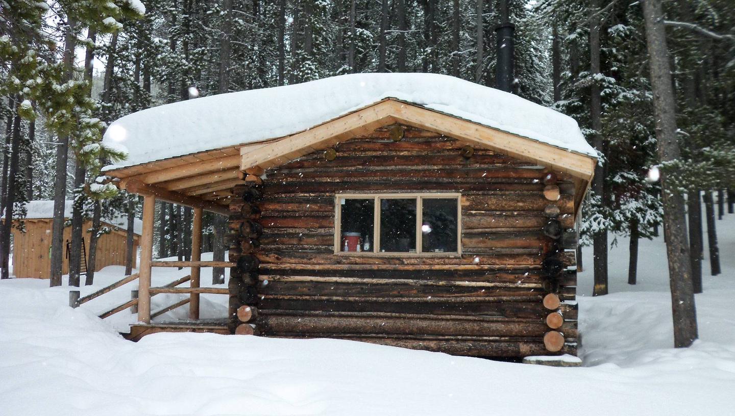
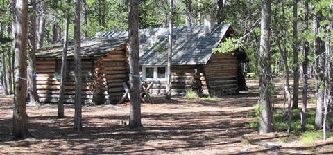
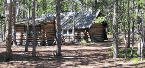
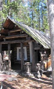
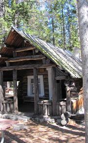
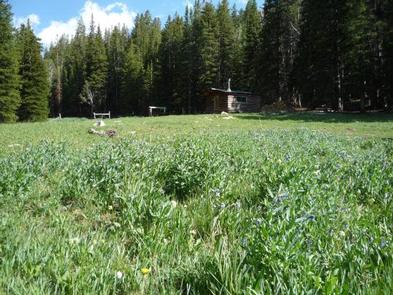
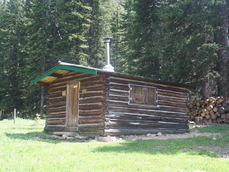
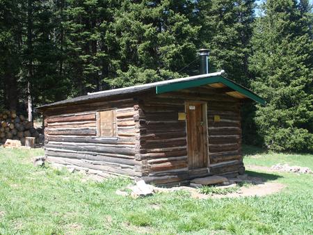
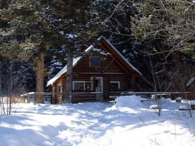
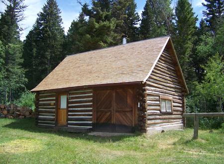
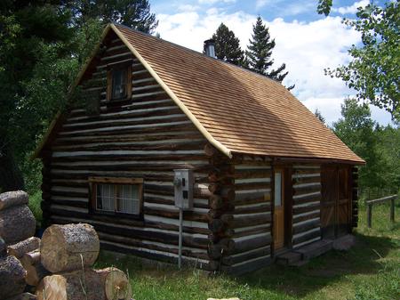
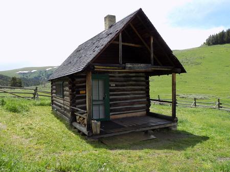
May Creek Cabin is located on the Lewis and Clark National Historic Trail in western Montana. It was built by miners in the early 1900s and used by them for
about 30 years. Hunters occupied it for about 30 years after that. The cabin went unused for nearly 30 years and was restored for public use in 1993. In 2011, more work was completed to enhance the quality and safety of the structure.

Summer and
fall months give visitors plenty of daylight and moderate temperatures to explore the surrounding meadows, peaks and valleys, as well as fish in plentiful mountain
streams.

The cabin can be accessed by driving to May Creek Campground and then hiking or skiing just over two miles, depending on conditions. Guests are responsible for their own travel arrangements and safety, and must bring several of their own amenities.

Recreation

Early explorers crossed through the area, leaving a variety of trails for hiking, mountain biking or horseback riding, including the Nez Perce Trail, the Lewis and Clark National Historic Trail and the Continental Divide National Historic Trail. Historic sites are located along all routes. A GPS unit, compass and area maps are helpful in reaching the cabin and exploring the area.

The surrounding hills and valleys are popular for hiking and backpacking in the summer and fall, and for cross-country skiing and snowshoeing, although extreme caution is urged to avoid avalanche danger.

Fishing and wading are available in the adjacent May Creek. Anglers might catch brook or rainbow trout, which are plentiful in the alpine waters.

Facilities

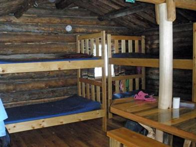
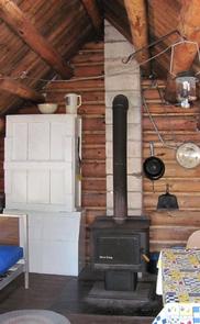
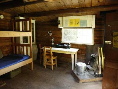
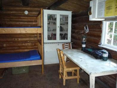
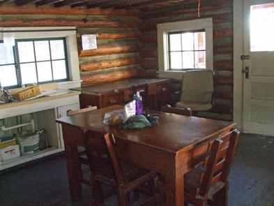
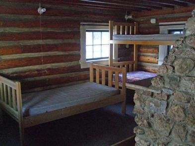
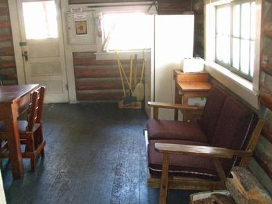
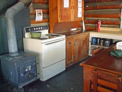
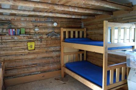
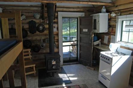
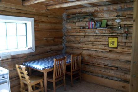
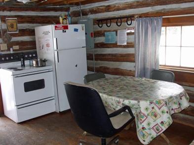
The wood-frame, one-room cabin is equipped with bunk beds and foam mattresses that sleep up to four people, a wood-burning stove for heat and a propane stove for
cooking. The flat-topped wood stove can also be used for cooking. A table with benches, cooking and eating utensils, axe, shovel, bucket, cleaning gear and firewood (during the winter months) are
also provided.

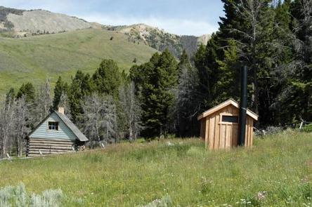
A wood stove is available for heat, and firewood and an axe are provided from September 16-June 15. You will need to provide your own firewood from June 16-September 15. An outhouse with a vault toilet is near the cabin. A propane lantern should also be available, but fuel is not supplied.

The cabin has no electricity or running water. It is recommended that guests bring their own water supply for drinking, cooking and washing. Water is also available
from a nearby creek, but it must be treated or boiled prior to use.

Guests should bring their own bedding, food, toilet paper, towels, flashlights, garbage bags and 16-ounce propane canisters for the stove and lantern. All garbage and
food must be packed out and guests should clean the cabin prior to leaving.

Natural Features

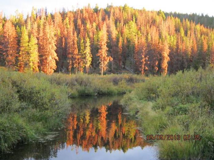
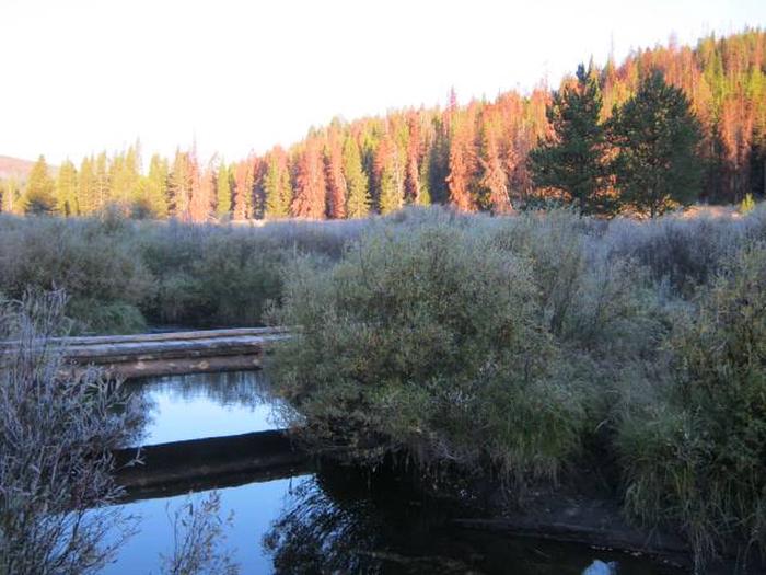
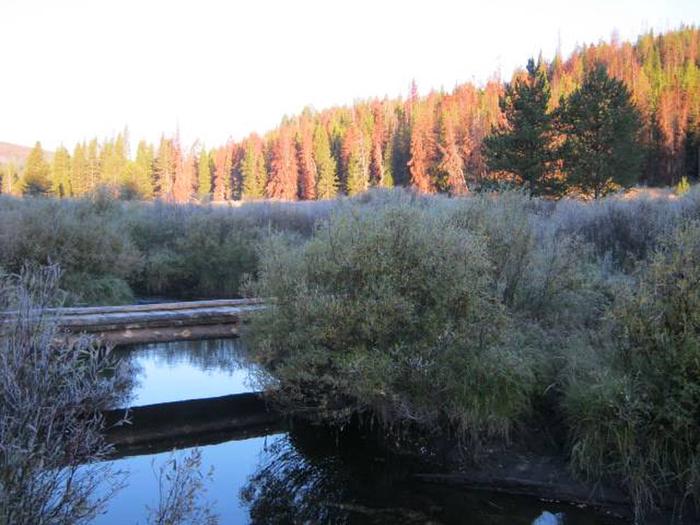
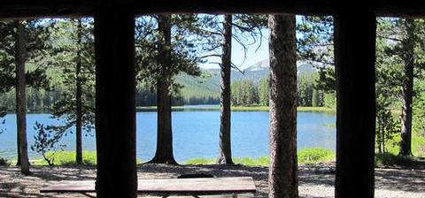
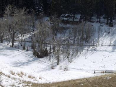
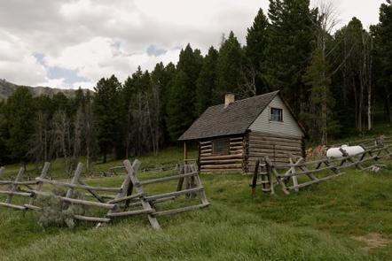
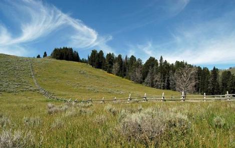
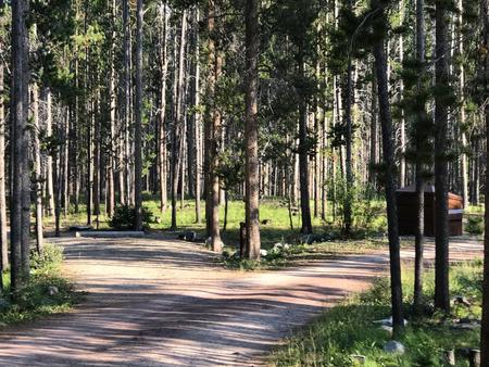
The rustic cabin is situated at the base of the Anaconda Mountain Range in the Beaverhead-Deerlodge National Forest of southwestern Montana. It is nestled in evergreen forest near the banks of May Creek at an elevation of about 6,600 feet.

The Anacondas are home to abundant wildlife, including mountain lions, elk, deer, moose and bears (learn more about bear safety). This area is a major spot for elk calving.

Nearby Attractions

The Big Hole National Battlefield is located about nine miles east of the cabin. It is the site of the Nez Perce War of 1877, a battle between the Native American tribe, the United States Army and civilian volunteers.

Nearby Activities

  • Biking
  • Historic & cultural site
  • Camping
  • Fishing
  • Hiking
  • Hunting
  • Winter sports
  • Wildlife viewing

Gallery

Directions

From Wisdom, travel west on Highway 43 for about 16 miles to the May Creek Campground. Guests can park in the plowed parking area near the highway at the entrance to the campground during the winter. During the summer months, follow the campground road to the fence at the south end of the campground. Parking is available in the meadow just west of the campground.

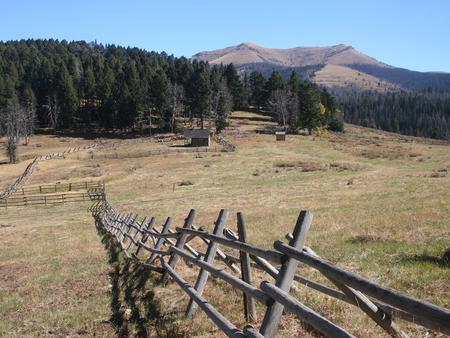
From the campground, hike or ski south along the marked May Creek Trail, crossing a small bridge. About a quarter-mile past the bridge, the May Creek Trail intersects with the May Creek Ridge Trail; stay on the May Creek Trail and continue south for about two miles. The cabin is located on the edge of a large meadow, in the trees, on the east side of the creek. Large, blue diamond stakes mark the trail across the meadow to the cabin. Maps of the area may be purchased by calling the Wisdom Ranger District.

GPS Coordinates

Latitude 45° 38′ 31.6298″ N

Longitude 113° 49′ 20.8898″ W

Categories
Uncategorized

TWIN LAKES CABIN (MT)

Overview

Twin Lakes Cabin is located in a scenic evergreen forest in the Beaverhead Mountains of western Montana. It was built in the 1920s to provide housing for trail crews, smoke chasers, timber cruisers and grazing inspectors who worked in the area.

Guests have access to a number of recreational opportunities, including hiking and mountain biking in the summer and fall, and snowmobiling, snowshoeing and
cross-country skiing during the winter.

The cabin is accessible by vehicle during the summer months, and until the snow closes the road. Guests may need to hike, snowmobile, ski or snowshoe up to 12 miles when the access road is closed. The cabin is equipped with a variety of amenities to provide an optimal outdoor experience; however, guests need to bring some of their own supplies and gear.

Recreation

A variety of hiking, mountain biking and horseback riding trails exist in the area, including the Big Lake Creek Trail, which traverses four miles of terrain
surrounding the lake. The nearby trails also provide access to the Continental Divide National Scenic Trail.

During winter months, the trails are popular for snowmobiling, cross country skiing and snowshoeing. Visitors should be prepared for unexpected avalanches.

Fishing and non-motorized boating are enjoyed by visitors to Twin Lakes. Anglers might see a variety of trout, as well as arctic grayling and mountain whitefish. Power boats are limited to electric motors only on the lake.

Facilities

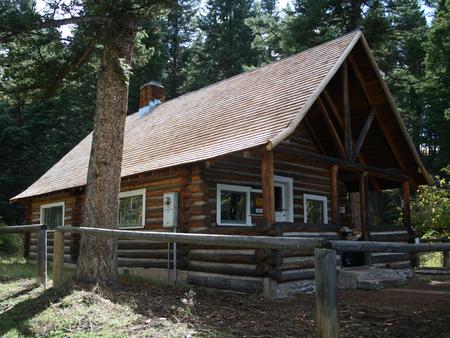
The wood-frame, one-room cabin sleeps up to four people and comes equipped with one bunk bed with mattresses and two folding cots. Other amenities include a wood-burning
stove, propane cook stove, table and chairs, cupboard space, a food storage box, basic cooking and eating utensils, cookware, a propane lantern, axe, shovel, bucket and
cleaning equipment.

A wood stove is available for heat, and firewood and an axe are provided from September 16-June 15. You will need to provide your own firewood from June 16-September 15. An outhouse with vault toilet is located nearby.

The cabin has no electricity or running water. Guests will need to bring their own water for drinking, cooking and cleaning during the fall, winter and spring. Water is available from June to Sepember from a hand pump located near the cabin. Water can be taken from the mountain lake 

or streams, but it must be treated prior to use.

Fuel is not provided for the cook stove or lantern, so guests need to bring 16-ounce propane canisters. Other items to bring include bedding, food, toilet paper,
towels, matches, flashlights, garbage bags and maps, among other necessities. Guests are required to carry out all trash and food and clean the cabin prior to leaving.

Natural Features

The cabin is located in a heavily wooded area at the base of Squaw and Jumbo peaks on the shore of the 75-acre Twin Lakes. It is situated at an elevation of about 7,200 feet in the Beaverhead Mountains, a subrange of the Bitterroot Range that divides Montana and the neighboring state of Idaho.

Extensive conifer forests provide habitat for a large elk herd that winters in Idaho and summers in Montana. Marshy glacial valleys in the area constitute some of
the best moose habitat in the state. Other wildlife in the area includes mountain goats, bighorn sheep, lynx, marten, deer and black bears (learn more about bear safety).

Nearby Activities

  • Biking
  • Boating
  • Camping
  • Fishing
  • Hiking
  • Winter sports
  • Wildlife viewing

Gallery

Directions

From Wisdom, MT, travel south on Highway 278 approximately 6 miles. If coming from Jackson, MT travel north on Highway 278 for approximately 12 miles. Turn west onto the Twin Lakes Road, follow for 8 miles, turn left Forest Road 945 continuing approximately 5 miles to Forest Road 183. Turn west onto Forest Road 183 for approximately 6 miles, turn northwest onto Forest Road 183A for approximately 1 mile. The cabin is located in Twin Lakes campground on the shores of the lake. Once you are in the campground turn left at the bulletin board. The cabin is located between Site #2 and Site #5. A map of the area may be necessary to reach the cabin and can be purchased by calling the Wisdom Ranger District.

Snowfall prohibits convenient access to the cabin throughout most of the year. Guests must snowmobile, ski, snowshoe or hike up to 12 miles to the cabin during the winter and spring months from the end of the plowed road. The route is marked with orange diamond stakes in the ground.

GPS Coordinates

Latitude 45° 24′ 35.4600″ N

Longitude 113° 41′ 9.4898″ W
Categories
Uncategorized

WALL CREEK CABIN

Overview

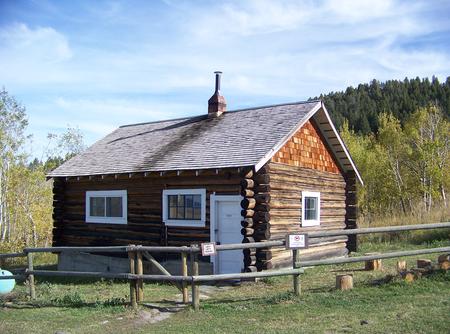
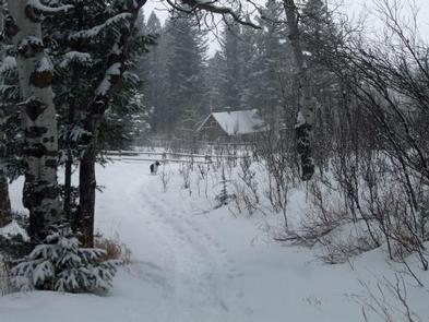
Wall Creek Cabin is a small dwelling that gives guests access to prime elk and deer viewing. The cabin is near a major wildlife refuge and herds can often be seen
wandering nearby. It is typically open to the public from mid-May through November, offering ample opportunity to explore southwestern Montana.

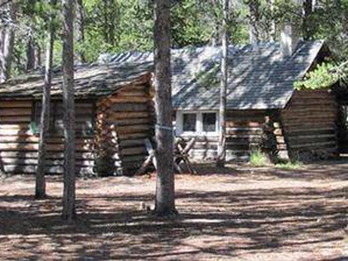
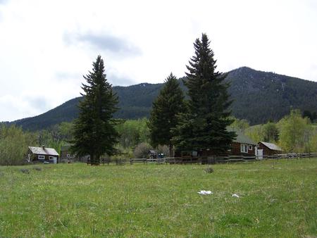
The facility was a ranger station until the 1940s. There are three log buildings at the site, including the small cabin, a barn and a main house, which is used by
grazing permit holders. Only the smaller cabin is available for public use. Though usually quiet, there may be work activity associated with grazing management, with cowboys, horses and dogs at the site.

The site can easily be accessed by vehicle and is open during late spring through early fall. Guests are responsible for their own travel arrangements and safety, and
must bring several of their own amenities.

Recreation

Big game hunting is by far the most popular activity enjoyed by visitors to the cabin. The area and surrounding wilderness is thick with wildlife. Hunters must have appropriate licensure to hunt in the state of Montana, and hunting is only allowed in designated areas. Wildlife viewing is popular, as animals often come near the cabin.

A variety of hiking and horseback riding trails are available in the area, as well as trails for off-road vehicles. Trailhead access is about a mile north of the cabin on Hyde Creek.

Facilities

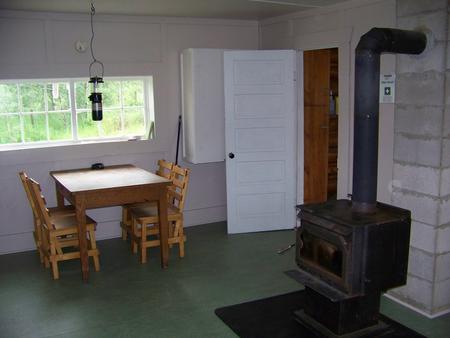
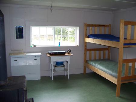
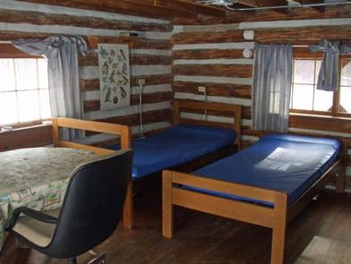
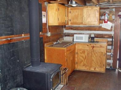
You must call the Madison Ranger District at 406-682-4253 Monday – Friday 8:00 am to 4:30 pm for the cabin combination. The office is NOT open on Federal Holidays. The primitive cabin is small, with a single room and an enclosed porch. It is equipped with two sets of bunk beds with foam pads that can sleep up to four people.
Other amenities include a propane cook stove, propane lantern, table and chairs, cleaning supplies, basic cooking utensils, cooking pots and a wood stove for heat.

Firewood may be stacked against the fence to the west of the cabin, but the firewood supply cannot be guaranteed. Split wood is stored in the box on the porch. A
primitive outhouse with vault toilet is located 100 feet north of the cabin.

The only water that may be available is at a spigot at the horse trough. Primarily for stock use, the water must be properly filtered, treated or boiled for drinking or cooking purposes. Propane is not
provided for the cook stove or lantern, so guests will need to bring small disposable propane canisters. Cell phone service is minimal or nonexistent in the area.

Other items to bring include sleeping bags and pillows, matches, flashlight, food, toilet paper and garbage bags. Guests are expected to pack out all trash and food
and clean the cabin before leaving. The firewood supply should also be replenished.

Natural Features

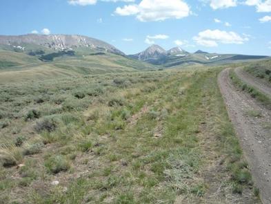
The cabin is located on the edge of the Madison River Valley and the Gravelly Mountains at an elevation of 6,150 feet. It sits in an open, grassy area backed by
forested slopes.

This is a popular destination for big game hunters and for wildlife lovers who want to view elk in the fall, due to its proximity to the Wall Creek Wildlife Management Area, which is also home to deer, moose, antelope and bears (learn more about bear safety).

Nearby Activities

  • Biking
  • Boating
  • Camping
  • Fishing
  • Hiking
  • Hunting
  • Wildlife viewing

Gallery

Directions

From Ennis, take US Highway south for about 18 miles to Indian Creek and the McAtee Bridge fishing access
site. Turn right and go nearly 1 mile to junction just beyond bridge. Turn left and travel toward Wall Creek Wildlife Management Area for 2.7 miles to T junction.
Turn left and stay on main road for 2.5 miles, through many twists and curves, to another T junction. Staying on main road, turn left and travel for about 2 miles.
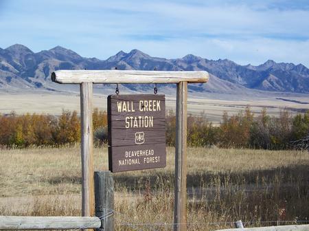
Turn right, through gate, at Wall Creek Station sign, and travel a half mile to another gate. Go through gate and cabin is just beyond. Rout is signed.Maps (Beaverhead-Deerlodge National Forest-South) may be purchased by calling the Madison Ranger District.

GPS Coordinates

Latitude 45° 0′ 40.0702″ N

Longitude 111° 42′ 25.6702″ W

Categories
Uncategorized

NOTCH CABIN

Overview

Notch Cabin is located in a remote part of southwestern Montana, within proposed wilderness, and is open from July 1 through November. It is somewhat difficult to access, but worth the trouble
for outdoor enthusiasts. The cabin is used by big game hunters during hunting season. Hiking is available in the summer and fall.

The cabin was built by a miner in the early 1900s. The surrounding landscape is thick with sage and grasslands, transitioning to timbered slopes that are full of
wildlife.

A high-clearance, four-wheel drive vehicle is required to access the cabin, which is located near the end of a very rough road. The cabin offers some basic amenities. Guests are responsible for their own
travel arrangements and safety, and must bring most of their own supplies and gear.

Recreation

In addition to big game hunting, visitors can enjoy hiking, backpacking and horseback riding in the area. While no Forest Service trails are within the immediate
vicinity of the cabin, the Snowcrest Trail is within a mile. It covers the entire range, providing panoramic views of the area. The 40-mile trail can serve as a
hearty horseback riding adventure, a lengthy backpacking trip, or make for several day trips.

The nearby seasonal mountain streams offer access to fishing. Anglers can enjoy a possible catch of brook trout, among other species. The wildlife management area is also good for hunting, but offers a perfect opportunity for visitors to catch a glimpse of wildlife in their natural habitat.

Due to the high elevation and short growing season, recreational livestock is allowed only if supplemental feed (certified weed-free) is brought in. No pasture or
corral is available. The final two miles of the access road to the cabin are not suitable for horse trailers.

Facilities

You must call the Madison Ranger District at 406-682-4253 Monday – Friday 8:00 am to 4:30 pm for the cabin combination. The office is NOT open on Federal Holidays. The tiny, low-roofed cabin is equipped with a set of bunk beds with foam pads that sleep up to two people, a propane cook stove, basic cooking utensils, a propane
lantern, wood heat stove, broom, dustpan and basic cleaning supplies.

Firewood is provided, stacked under the trees behind the cabin. A primitive outhouse is located 100 feet northwest of the cabin.

Water is available only from the stream and must be properly filtered, treated or boiled for drinking or cooking purposes. It is recommended that guests bring
their own water supply for drinking, cooking and washing.

Fuel is not provided for the cook stove or lantern. Guests must bring small propane canisters. Other items to bring include sleeping bags, pillows, flashlights, matches, food,
toilet paper and garbage bags. There is no cell phone service available in the area. Guests should replenish the supply of split wood and kindling, pack
out all trash and food, and clean the cabin before leaving.

Natural Features

The cabin is situated at an elevation of 8,470 feet in a notch between Olson Peak and Hogback Mountain on the Snowcrest Range. A small stream runs about 100 feet in
front of the cabin.

The Robb-Ledford Wildlife Management Area is nearby, which is an important elk and big game winter range that spans more than 28,000 acres in southwestern Montana. In
addition to elk, the range is home to mule deer, upland birds and a growing population of grizzly bears (learn more about bear safety).

Nearby Activities

  • Camping
  • Hiking
  • Hunting
  • Wildlife viewing

Gallery

Directions

Notch Cabin is about 62 miles from Ennis, Montana. The final 28 miles are gravel, dirt or primitive two-track.

From Ennis, take Montana Highway 287 west for 23 miles to Alder. At Alder, turn south toward Ruby Reservoir (County 248) and travel 21 miles. Turn right on Ledford
Creek Road (County 50) and travel southwest for 3 miles to signed junction. Turn right and after about 4.5 miles, you’ll enter the Robb-Ledford WMA. Continue for 0.5
mile to junction, turn right and travel for 5 miles. This stretch of the road will split, with the option of going around or over a hill, then reconnecting a short
distance later. After the 5 miles, the Springbrook road joins in from the west. Continue south toward the mountains and cross Ledford Creek after about 3.5 miles. Go 0.5 mile
farther, and you’ll reach the Forest Boundary. The cabin lies 1 mile beyond the boundary. The route is signed.

You’ll see the cabin straight ahead just as the road turns left across the creek. Driving time from Ennis is nearly 3 hours, with the last 9 miles taking over an
hour. Cabin may also be accessed via Sweetwater Creek Road, then Springbrook road. This route is not signed. See map for details. Maps (Beaverhead-Deerlodge National Forest-South) may be
purchased by calling the Madison Ranger District at 406-682-4253.

GPS Coordinates

Latitude 44° 52′ 55.9600″ N

Longitude 112° 8′ 14.0302″ W

Categories
Uncategorized

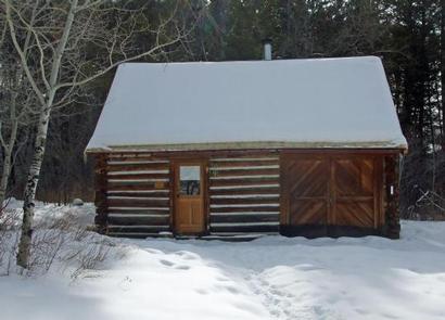
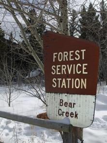
BEAR CREEK CABIN

Overview

The Bear Creek Cabin allows visitors to experience southwestern Montana’s vast wilderness areas, including wide open fields and a variety of nearby mountain ranges. Situated on the Trail Fork of Bear Creek, the cabin offers a scenic location to enjoy activities such as hunting, skiing, snowshoeing, as well as hiking and horseback riding on nearby trails. A smaller cabin, Bear Creek Bunkhouse, is located about 100 feet to the west and is also on the rental program.

The cabin is used as an administrative site in the summer and fall months, but is open to the public between December and April. The site can be accessed by vehicle, however, a portion of the road may be muddy or snow-covered, as it is not always plowed. Visitors are responsible for their own travel arrangements and safety, and must bring several of their own amenities, including water.

Recreation

There are a variety of hiking and horseback riding trails in the area. The trails are popular among visitors for cross country skiing and snowshoeing during the winter months.
The nearby wilderness areas do not allow motorized vehicles or bicycles. Camping and fishing in the backcountry are allowed, but the proper permits are required. The Bear Creek Wildlife Management Area immediately to the north of the cabin is closed to all off-trail access, including foot traffic, between Dec. 2 and May 15.

Facilities

You must call the Madison Ranger District at 406-682-4253 Monday – Friday 8:00 am to 4:30 pm for the cabin combination. The office is NOT open on Federal Holidays.

The large, two-room cabin can sleep four people comfortably with one set of bunk beds and two single beds, each with a mattress. The cabin has electricity and is equipped with lights, a refrigerator, a stove and an oven. A table with chairs and basic cooking equipment are also provided.

The cabin has a wood stove for heat and comes with firewood, which is usually stacked on the porch and on the side of the cabin. An outhouse with vault toilets is located 40 feet south of the cabin and there are two additional concrete vault toilets adjacent to the campground to the west.

Visitors must bring their own water; the creek is the only source of fresh water and may be difficult to access during the winter. Sleeping bags and extra blankets are not supplied, and users will need to bring their own food, toilet paper and garbage bags, among other necessities.

Garbage and cleaning services are not provided. Renters must clean the facility prior to departure, as well as replenish the supply of split wood and kindling.

Natural Features

The facility is located at the edge of the Lee Metcalf Wilderness, at the foot of the Madison Range. The cabin is situated at an elevation of 6,250 feet, amid open meadows that are surrounded by mature aspens and Douglas fir trees.

Bear Creek runs near the cabin and nearby bunkhouse, and the Bear Creek Wildlife Management Area lies immediately to the north. The area is home to a variety of wildlife, including elk, mule deer, black bears and grizzly bears, mountain grouse, and other species (learn more about bear safety).

Nearby Attractions

Bear Creek is approximately 60 miles north of Old Faithful Geyser.

Nearby Activities

  • Camping
  • Hiking
  • Hunting

Gallery

Directions

From Ennis, take Highway 287 south for 11 miles, to Cameron, Montana. From Cameron, turn east on Bear Creek Loop and continue approximately 6 miles to the cabin.

The last several miles are gravel or dirt roads, which may be muddy or snow-covered and may not always be plowed. Maps (Beaverhead-Deerlodge National Forest-South) may be purchased by calling the Madison Ranger District.

GPS Coordinates

Latitude 45° 9′ 21.7102″ N

Longitude 111° 33′ 12.2400″ W

Categories
Uncategorized

BEAR CREEK BUNKHOUSE

Overview

The Bear Creek Bunkhouse allows visitors to experience southwestern Montana’s vast wilderness areas, including wide open fields and a variety of nearby mountain ranges. Situated on the Trail Fork of Bear Creek, the cabin offers a scenic location to enjoy nature. A larger cabin is located about 100 feet to the west and is also on the rental progarm.

The bunkhouse is used as an administrative site in the summer and fall months, but is open to the public between December and April. During the winter months, visitors can enjoy cross country skiing and snowshoeing, as well as hiking and horseback riding on nearby trails.

The site can be accessed by vehicle, however, a portion of the road may be muddy or snow-covered, as it is not always plowed. Visitors are responsible for their own travel arrangements and safety, and must bring several of their own amenities, including water.

Recreation

In addition, there are a variety of hiking and horseback riding trails in the area. The trails are popular among visitors for cross country skiing and snowshoeing during the winter months.

The nearby wilderness areas do not allow motorized vehicles or bicycles. Camping and fishing in the backcountry is allowed, with the proper permits. The Bear Creek Wildlife Management Area immediately to the north of the cabin is closed to all off-trail access, including foot traffic, between Dec. 2 and May 15.

Facilities

You must call the Madison Ranger District at 406-682-4253 Monday – Friday 8:00 am to 4:30 pm for the cabin combination. The office is NOT open on Federal Holidays.

This one room cabin has electricity and lights as well as two single beds with foam pads, which can accommodate up to two people. In addition to the beds, there is a table with chairs, refrigerator, stove, oven, basic cooking equipment and cleaning supplies.

The cabin has a wood stove for heat and firewood is provided and stacked to the east of the cabin. An outhouse, with vault toilets, is located 150 feet east of the bunkhouse, near the larger cabin. Additional toilets are available at the adjacent campground.

Visitors need to bring their own water; the creek is the only source of water and may be difficult to access during the winter. Sleeping bags and extra blankets are not supplied, and users will need to bring their own food, toilet paper and garbage bags. Garbage and cleaning services are not provided.

Renters must clean the facility prior to departure, as well as replenish the supply of split wood and kindling.

Natural Features

The facility is located at the edge of the Lee Metcalf Wilderness, at the foot of the Madison Range. The bunkhouse is situated at an elevation of 6,250 feet, amid open meadows that are surrounded by mature aspen and Douglas fir trees.

Bear Creek runs near the bunkhouse and nearby cabin, and the Bear Creek Wildlife Management Area lies immediately to the north. The area is home to a variety of wildlife, including elk, mule deer, black bears and grizzly bears, mountain grouse, and other species (learn more about bear safety).

Nearby Attractions

Bear Creek is approximately 60 miles north of Old Faithful Geyser.

Nearby Activities

  • Camping
  • Hiking
  • Hunting
  • Winter sports

Gallery

Directions

From Ennis, take Highway 287 south for 11 miles, to Cameron, Montana. From Cameron, turn east on Bear Creek Loop and continue approximately 6 miles to the cabin. The last several miles is gravel or dirt, which may be muddy or snow-covered and may not always be plowed. Maps may be purchased by calling the Madison Ranger District.

GPS Coordinates

Latitude 45° 9′ 22.3898″ N

Longitude 111° 33′ 14.0400″ W

Categories
Uncategorized

ANTONE CABIN

Overview

The Antone Cabin sits in a beautiful open meadow, at the edge of a thick forest, providing visitors with a unique camping experience in the mountains of southwestern Montana. The cabin opens for use on July 1and stays open through December, and it is most popular during hunting season.

In addition to hunting access, the facility provides ample opportunities for hiking, backpacking and horseback riding, as well as winter sports, such as snowshoeing and cross country skiing. The cabin lies within proposed wilderness so snowmobiling and bicycling is not permitted beyond the road.

Visitors are responsible for their own travel arrangements and safety, and must bring several of their own amenities to really enjoy their stay at Antone Cabin.

Recreation

A variety of hiking, backpacking and horseback riding trails extend into the Snowcrest Range, including the Snowcrest Trail, which covers the entire range, providing panoramic views. The 40-mile trail can serve as the means for a hearty horseback adventure, a lengthy backpacking trip, or make for several day trips into the wilderness. Antone Peak is a popular day hike.

The nearby Blacktail Deer Creek, and other seasonal mountain streams, offer access to freshwater fishing. Anglers can enjoy a possible catch of brook trout, among other species.

Facilities

You must call the Madison Ranger District at 406-682-4253 Monday – Friday 8:00 am to 4:30 pm for the cabin combination. The office is NOT open on Federal Holidays.

The cabin is a small, primitive, one-room log cabin, equipped with bunk beds that sleep up to two people, a table and chairs. The cabin has a loft, but it is not available for public use, due to safety regulations.

Also inside the cabin is a propane stove with an oven, a wood stove for heat, a shelf and cupboard space, cooking pots, eating utensils, a broom and dust pan, bucket, shovel, axe and cleaning supplies. Foam pads are supplied on the beds.

Outside there is a toilet approximately 40 feet southeast of the cabin. Two propane lights are supplied by a large propane tank outside and firewood is stacked near the outside fence on the porch, however the supply cannot be guaranteed.

Guests must bring their own water. The spring just south of the cabin may have sufficient water for cleaning, but is unreliable. Sleeping bags and blankets are not supplied, and users will also need to bring their own matches, food, toilet paper and garbage bags. Garbage and cleaning services are not provided.

Natural Features

The historic log cabin is located along the grassy foothills at the southern end of the Snowcrest Range, at an elevation of 8,100 feet. Together with the nearby Gravelly Range, the area is one of Montana’s most popular hunting grounds.

The two mountain ranges are home to nearly 10,000 elk and a growing population of grizzly bears (learn more about bear safety). Moose are also frequent visitors to the meadow where the cabin lies.

The large horse pasture adjacent to the cabin is for administrative use only. The public may rent the small horse corral that is next to the trailhead for an additional $10.00/night fee. No livestock is permitted inside the small fenced area immediately around the cabin.

Nearby Activities

  • Camping
  • Fishing
  • Hiking
  • Hunting
  • Winter sports

Gallery

Directions

From Dillon, travel about 40 miles southeast on Forest Road 202 (Blacktail Creek Road), to Antone Station turnoff. Turn north onto Forest Road 325 and continue about 6 miles to the cabin. During winter months, snowmobiles may be required for the majority of the drive, depending on conditions. Call ahead for road conditions.

GPS Coordinates

Latitude 44° 46′ 51.3502″ N

Longitude 112° 12′ 36.0698″ W
Categories
Uncategorized

Lodgepole Campground (MT)

Overview

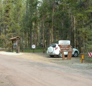
Lodgepole Campground is a large facility situated along a scenic highway in the Pintler Ranger District of the Beaverhead-Deerlodge National Forest, the largest national forest in Montana. Across the street is Georgetown Lake, a popular destination for fishing, boating and water sports.

Please note, this campground IS NOT within Sequoia National Park.

Recreation

Postcard-perfect Georgetown Lake is a prime destination for fishing and fly fishing with kokanee salmon, rainbow and brook trout being the most sought-after species.

Canoeing and boating are also popular activities. Hikers, horseback riders and mountain bikers will find no shortage of trails within a few miles of the campground.

Facilities

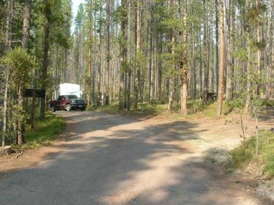
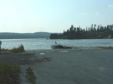
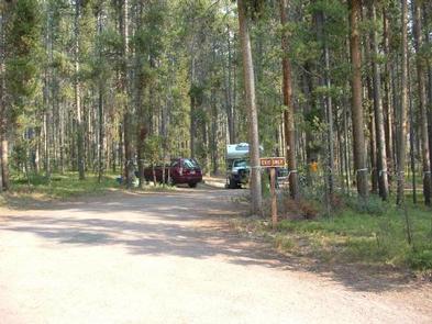
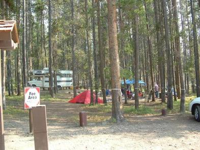
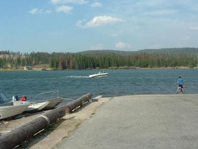
The campground is conveniently located across the street from Georgetown Lake, though there is no direct lake access from the site but Red Bridge Boat Launch is walking distance away. If you camp at Lodgepole Campground there is no charge for using the boat launch/day use area. This facility is one of the larger campgrounds in the lake area with 31 units available for tent and RV camping.

Natural Features

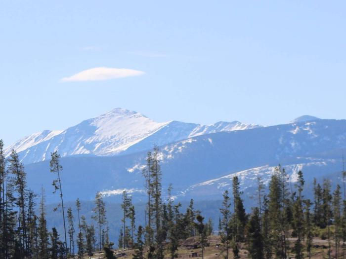
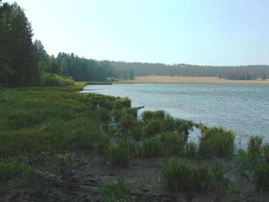
Georgetown Lake boasts more than 3,000 acres of cool mountain waters at an elevation of 6,000 feet. It is surrounded by the sometimes snow-covered Flint Creek Range to the north and the Pintlers to the south.

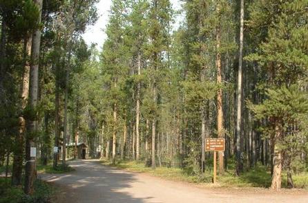
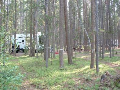
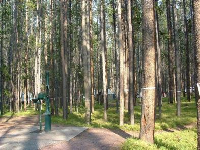
Lodgepole Campground derives its name from the long and slender Lodgepole pines, which surround the area.

The lake area is also home to abundant wildlife, including moose, elk, white-tailed deer and even bighorn sheep.

Charges & Cancellations

Must cancel 4 days in advance

Nearby Activities

  • Biking
  • Boating
  • Camping
  • Fishing
  • Hiking
  • Hunting
  • Water sports
  • Wildlife viewing
  • Swimming site

Gallery

Directions

From Philipsburg travel 10.75 miles south on State Highway 1. The campground is directly across the highway from Georgetown Lake and Red Bridge Boat Launch.

GPS Coordinates

Latitude 46° 12′ 42.9998″ N

Longitude 113° 16′ 21.0000″ W
Categories
Uncategorized

PHILIPSBURG BAY CAMPGROUND

Overview

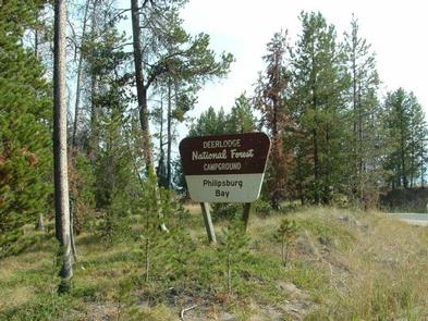
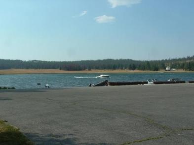
Philipsburg Bay Campground is adjacent to Georgetown Lake and provides ideal access to fishing, boating and water skiing. It is located in the Pintler Ranger District of the Beaverhead-Deerlodge National Forest, the largest national forest in Montana. Surrounded by mountains of outstanding beauty, the location is perfect for visitors who enjoy mountain and water sports or those who prefer relaxing and taking in the spectacular view.

Recreation

Georgetown Lake is a prime destination for fishing and fly fishing with kokanee salmon, rainbow and brook trout being the most sought-after species.
Canoeing and boating are also popular activities. Hikers, horseback riders and mountain bikers will find no shortage of trails within a few miles of the campground.

Facilities

The facility has 69 sites that are all first-come, first-served, with the exception of one loop that can be reserved in advance during the summer season. It is available for RV or tent camping and is boater-friendly with paved roads and a boat ramp.

Natural Features

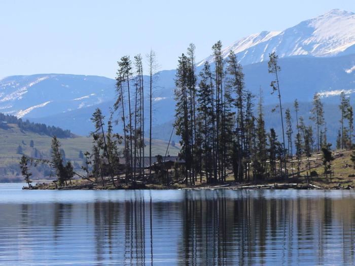
The campground overlooks the Anaconda-Pintler Wilderness. Georgetown Lake is a large mountain lake spanning close to 3,000 acres at an elevation of over 6,000 ft. Lodgepole pines enclose the lake and surrounding mountains, providing a home to abundant wildlife including moose, elk, white-tailed deer and even bighorn sheep. Water birds such as the graceful blue heron as well as hawks and other birds of prey also inhabit the lake area.

Nearby Attractions

Town of Philipsburg and Anacaonda, gem mining, hiking, fly fishing, atving.

Charges & Cancellations

Must cancel 4 days in advance

Nearby Activities

  • Biking
  • Boating
  • Camping
  • Fishing
  • Hiking
  • Hunting
  • Water sports
  • Wildlife viewing
  • Swimming site

Gallery

Directions

The campground is located in southwestern Montana, about 11 miles south of Philipsburg. Follow U.S. Route 1 south and take a right on Georgetown Lake Road. The campground is on the left adjacent to the lake.

GPS Coordinates

Latitude 46° 12′ 23.0000″ N

Longitude 113° 17′ 24.0000″ W
Categories
Uncategorized

SPRING HILL CAMPGROUND

Overview

Nestled in the Lodgepole pine forests of southwestern Montana, Spring Hill Campground is only eight miles from Georgetown Lake, a popular destination for fishing, boating and water sports. Spring Hill is located in the Pintler Ranger District of the Beaverhead-Deerlodge National Forest, the largest national forest in Montana. Surrounding mountains add to the majestic scenery and provide ample outdoor recreation opportunities during the summer season.

Recreation

Warm Springs Creek is well-known among Montana anglers as a source of rainbow, cutthroat, brook and brown trout. Georgetown Lake is also a prime destination for fishing and fly fishing with kokanee salmon, rainbow and brook trout being the most sought-after species. Canoeing and boating are also popular sports. Hikers, horseback riders and mountain bikers will find no shortage of trails within a few miles of the campground.

Facilities

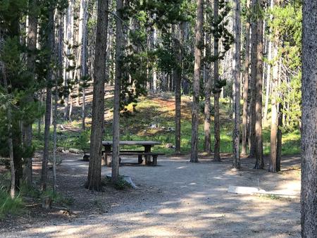
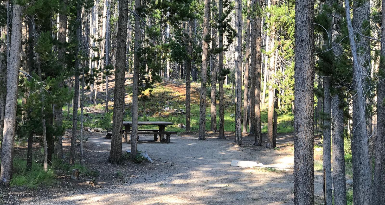
The campground is conveniently located near Georgetown Lake, though there is no direct lake access from the site. There are 15 units available for tent and RV camping, as well as a pleasant picnic area.

Natural Features

Warm Springs Creek runs adjacent to the campground. Nearby Georgetown Lake, a large mountain lake of more than 3,000 acres at an elevation of over 6,000 feet, draws the most attention from visitors. The area immediately surrounding the campground is abundantly populated with Lodgepole pines and is home to local wildlife, including moose, elk, white-tailed deer and even bighorn sheep.

Nearby Attractions

The historic town of Anaconda is only a short drive away.

Charges & Cancellations

Must cancel 4 days in advance

Nearby Activities

  • Biking
  • Camping
  • Fishing
  • Hiking
  • Hunting
  • Picnicking
  • Wildlife viewing

Gallery

Directions

Travel approximately 11 miles west of Anaconda along State Highway 1 to the campground.

GPS Coordinates

Latitude 46° 10′ 18.0001″ N

Longitude 113° 9′ 50.0000″ W