Categories
Uncategorized

DOUGLAS CREEK CABIN

Overview

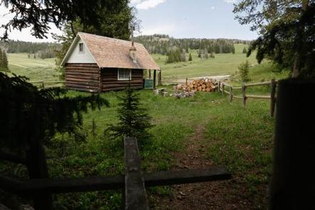
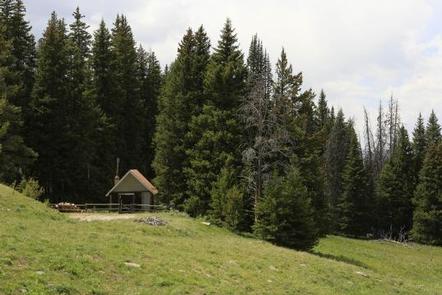
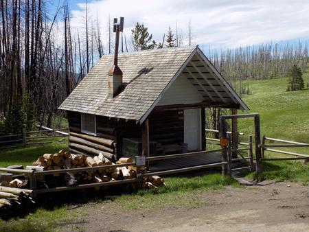
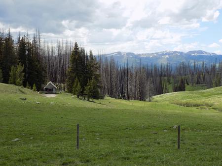
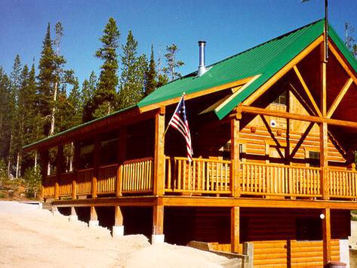
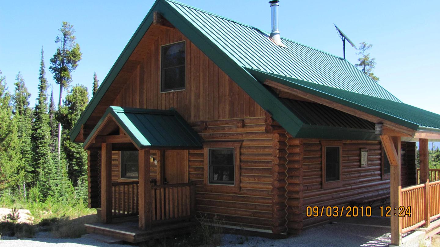
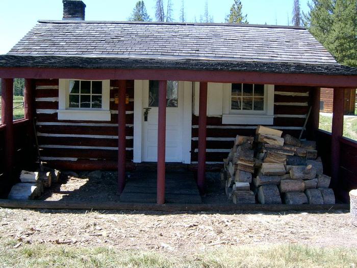
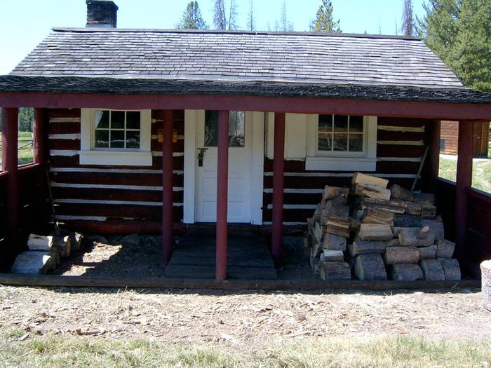
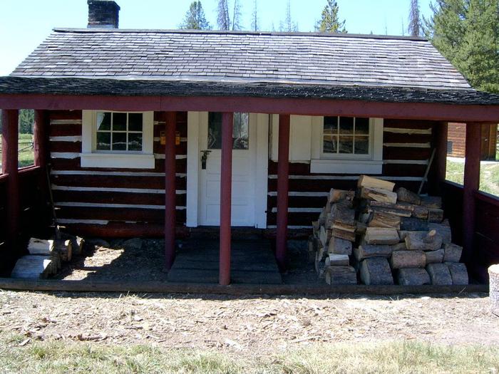
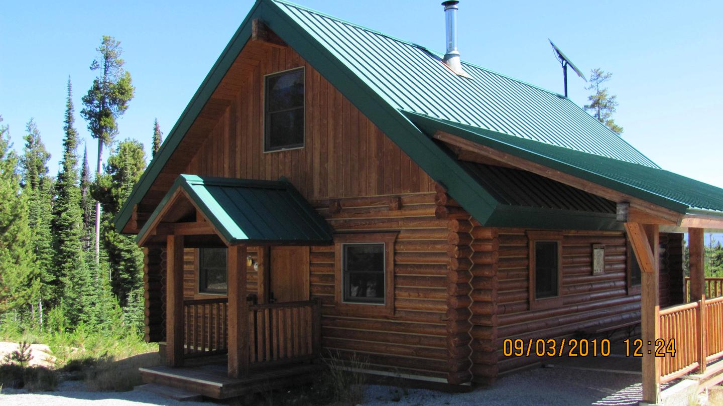
Douglas Creek Cabin offers a great way to access the various seasonal activities available in the Beaverhead-Deerlodge National Forest in western Montana. While hunting enthusiasts enjoy the cabin during bow and rifle seasons, it is popular for snowmobiling in the winter and hiking in the summer. The cabin is in a very remote location, giving anyone an outdoor recreational experience they will never forget.

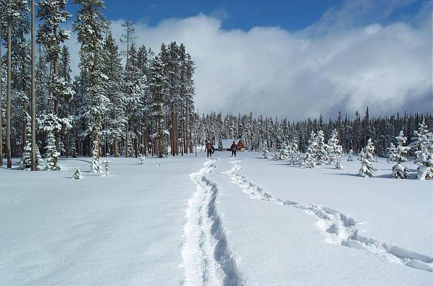
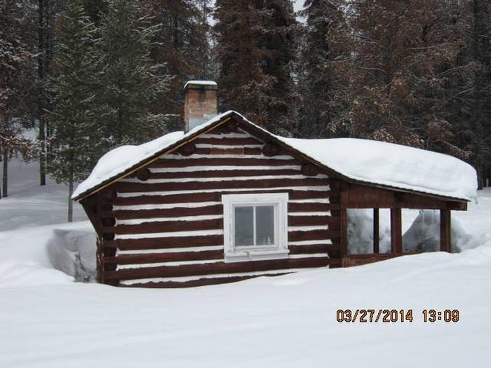
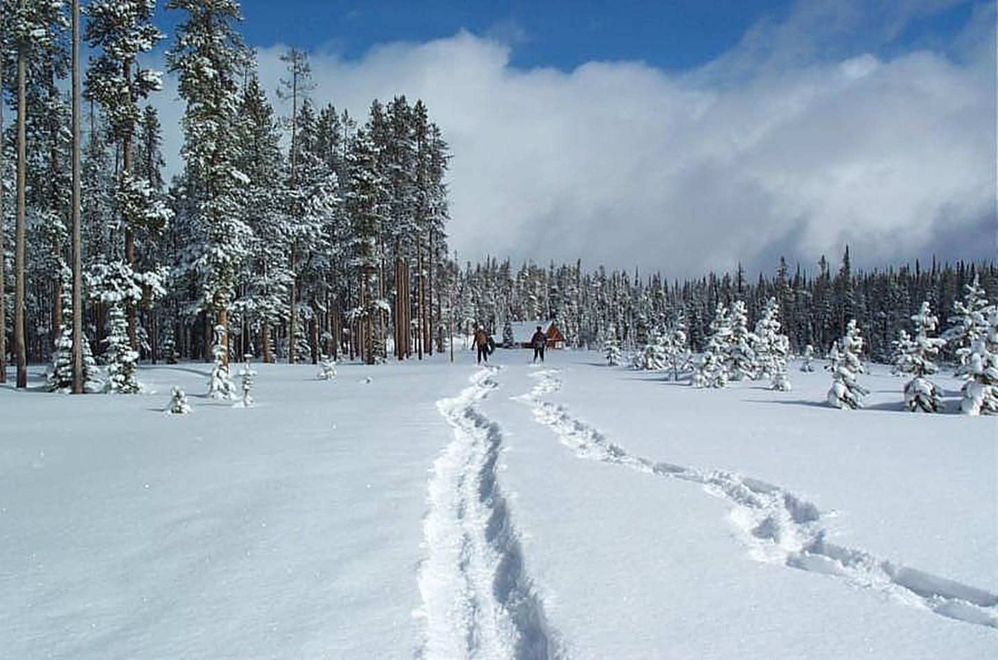
Access to the cabin is limited by weather conditions. Four-wheel drive and high-clearance vehicles are necessary year-round. Excessive snowfall prohibits any vehicles from accessing the cabin and visitors will need to plan for cross-country skiing or snowmobiling three or more miles. Guests are responsible for their own travel arrangements and safety, and must bring their own amenities.

Recreation

Douglas Creek is a small stream at this location and does not support any sizeable fish but fishing is popular in any of the mountain lakes in the vicinity. Access to the lakes will require extensive hiking or driving. The area is home to a variety of trails for hiking, but there are no designated trails near the cabin. A big game winter range and elk calving grounds are nearby, offering great wildlife viewing potential. Hunting for deer, elk and upland game birds is popular in the area.

Guests also enjoy snowmobiling, cross-country skiing and snowshoeing in the surrounding areas during the winter. Various weather conditions can increase avalanche danger in the area and visitors are encouraged to carry proper backcountry equipment, including a beacon, shovel and probe, while recreating.

Facilities

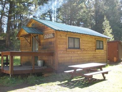
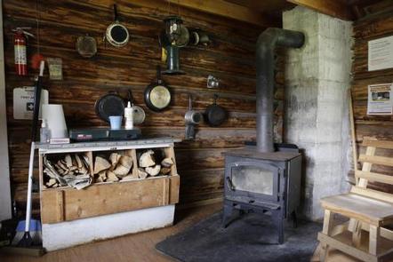
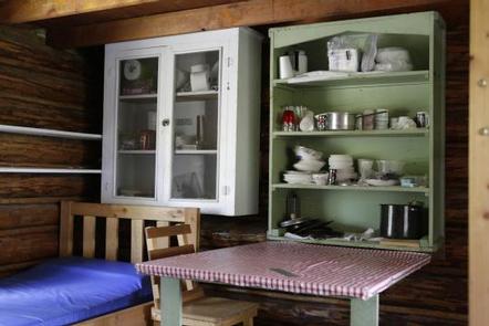
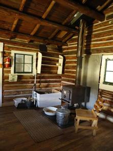
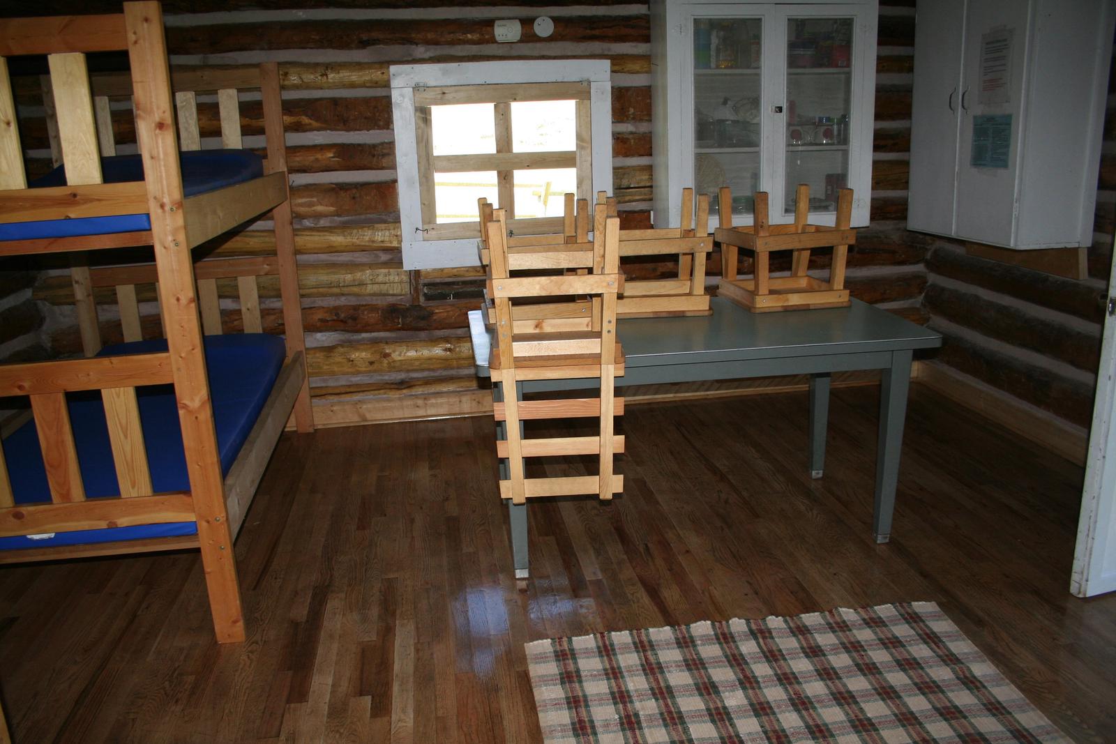
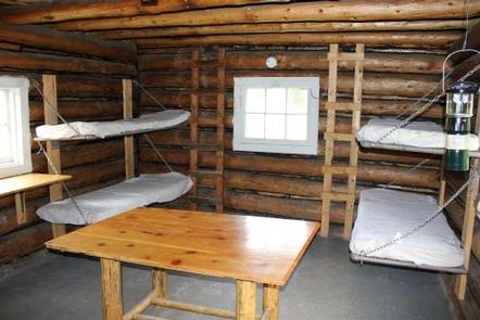
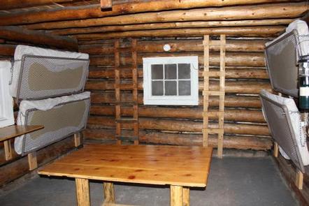
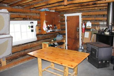
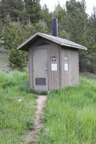
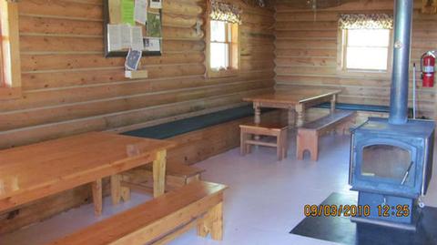
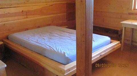
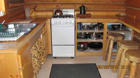
The primitive, one-room cabin has bunkbeds that sleep up to four people. It has a table and chairs, minimal cooking utensils, and a wood stove for heat. Firewood is provided but cannot be guaranteed. There is no electricity, plumbing or water available at the cabin. An outhouse with a vault toilet is located just steps behind the cabin.

Guests will need to bring water for cooking, cleaning and drinking, as well as bedding, towels, soap, dishes, cooking equipment and fuel, toilet paper, garbage bags and an axe or chainsaw. A broom and dust pan are provided and guests are required to carry out all trash. Guests are also required to clean the facility prior to departure. Cell phone service is sometimes available depending on your provider.

Natural Features

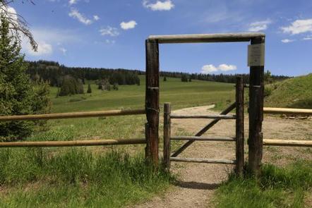
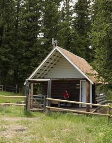
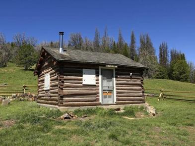
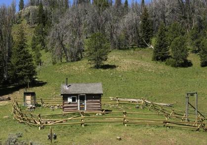
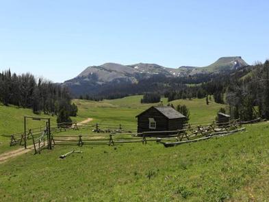
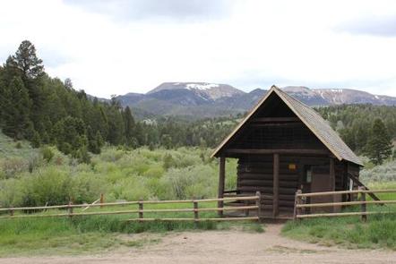
The rustic, remotely located cabin is adjacent to Douglas Creek, in the north end of the Flint Creek Range. It is situated in a grassy meadow, surrounded by mature evergreen trees. The cabin was built in the 1960s and was used as an administrative location for crews working in the area.

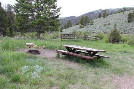
The small and narrow Douglas Creek runs about 50 feet from the cabin through the cabin site. It is an ideal place to relax or build childhood memories.

The Flints have typical Rocky Mountain fauna, including a few mountain goats. The area is popular for hunting of deer, elk and blue grouse. Dozens of alpine lakes in the range provide good fishing. Bears may also frequent the area.

Nearby Attractions

Interesting day trips might include touring the Grant-Kohrs Ranch, which is operated by the National Park Service just outside of Deer Lodge, which is about 25 miles from the cabin. In Deer Lodge, visitors can tour the old Montana Territorial Prison, which was built by convict labor in 1871. Both are on nationally recognized historic sites.

Charges & Cancellations

Reservations are nonrefundable unless extenuating circumstances warrant otherwise. Determination will be made on a case by case basis.

Nearby Activities

  • Biking
  • Camping
  • Hiking
  • Hunting
  • Winter sports
  • Wildlife viewing

Gallery

Directions

From Hall, travel south on Highway 1 for about 3 miles to Douglas Creek. Take Forest Road 707 and continue approximately 7 miles to the cabin. Maps may be purchased by calling the Pintler Ranger District.

GPS Coordinates

Latitude 46° 30′ 6.4800″ N

Longitude 113° 7′ 19.3102″ W

Categories
Uncategorized

MOOSE LAKE CABIN

Overview

Moose Lake Cabin is located in the Beaverhead-Deerlodge National Forest in southwestern Montana. The historic cabin, which was built in 1917 for use as a Forest Service work cabin, offers visitors access to the Anaconda-Pintler Wilderness Area, which covers almost 250 square miles of mountain ranges.

Many lakes and streams provide ample access to world famous trout fishing and the area also boasts miles of roads and trails for hiking, backpacking, OHV and horseback riding.

The cabin can typically be accessed by vehicle, depending on road and weather conditions. Excessive snowfall may require visitors to walk, ski or snowshoe about a quarter mile from the main road to the cabin. Moose Lake Road is plowed during winter. Guests are responsible for their own travel arrangements and safety, and must bring most of their own amenities. 

OHV riders MUST stay on roads and trails!

Recreation

Moose Lake Cabin provides access to hunting, fishing, hiking or just relaxing. Participants must have Montana licenses to hunt or fish, and must only hunt in designated areas. Fishing for brook and cutthroat trout is excellent in the area, which is widely known for its trout-filled mountain streams. The Middle Fork of Rock Creek as well as Copper Creek and other smaller creeks are close by.

Visitors also enjoy snowmobiling, cross country skiing and snowshoeing in the area during the winter. Various weather conditions can increase avalanche danger in the area; visitors are encouraged to carry proper backcountry equipment, including a beacon, shovel and probe while recreating.

Hiking and horseback riding trails lead into the Anaconda-Pintler Wilderness. There are three trailheads in the area, none more than a six mile drive from the cabin. Horses are not allowed in the wilderness area until July 1st each year. As a reminder, pelletized or certified weed seed free feed and straw is required in all National Forests in Montana; please plan accordingly.

Facilities

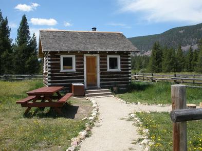
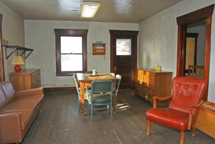
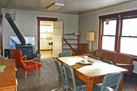
This is a small, primitive, one-room cabin and is equipped with two sets of bunk beds with mattress pads that can sleep up to four people. It has a small table and chairs and a few pots for heating water.

There is a wood stove for heat and firewood is provided but cannot be guaranteed. A shared outhouse with a vault toilet is nearby and a small dispersed camping area is a few hundred yards from the cabin. A seasonally available hand pump for drinking water, a picnic table and fire pit are also outside.

Guests will need to bring their own sleeping bags and pillows, as well as matches, food, toilet paper, propane stove and garbage bags. There is limited cell phone service available in the area depending on your provider. Guests are asked to replenish the supply of split wood and kindling, pack out all trash and food, and clean the cabin prior to leaving.

There is a fenced pasture for horses next to the cabin but you must check the fence for damage before using it. Do not corral your horses on the cabin grounds.

This cabin is also about a mile from Copper Creek Campground.

Natural Features

The cabin is located on the Middle Fork of Rock Creek (Moose Lake Road, FR 5106) near the Anaconda-Pintler Wilderness. It sits at the edge of an open meadow, surrounded by evergreens and towering peaks. And the Middle Fork of Rock Creek flows about 100 yards behind the cabin. There is easy access to the creek.

The area is known for its high, rugged and beautiful mountain scenery, as well as the variety of wildlife that makes its home there, including elk, moose, deer, mountain lions and bears (learn more about bear safety).

Nearby Attractions

The Skalkaho Highway (Highway 38) leads into the Sapphire Mountains along a primitive and once widely used Native American trail. The scenic drive, which is closed during winter, was built to provide access between mining areas and agricultural communities in the Bitterroot Valley. About 30 miles from the cabin, the road leads to Skalkaho Falls in the neighboring Bitterroot National Forest.

Charges & Cancellations

Reservations are nonrefundable unless extenuating circumstances warrant otherwise. Determination will be made on a case by case basis.

Nearby Activities

  • Camping
  • Fishing
  • Hiking
  • Hunting
  • Winter sports
  • Wildlife viewing

Gallery

Directions

From Philipsburg, travel south on Highway 1 for about 7 miles to the junction with Skalkaho Highway/Highway 38. Turn right onto Highway 38 and continue west for about 9 miles and turn left onto Moose Lake Road/Forest Road 5106. Travel another 9 miles to the cabin. Winter weather conditions may require visitors to park on the main road and hike about a quarter-mile to the cabin. Maps may be purchased by calling the Pintler Ranger District.

GPS Coordinates

Latitude 46° 4′ 30.0400″ N

Longitude 113° 31′ 35.2200″ W

Categories
Uncategorized

WEST FORK CABIN (S OF ENNIS)

Overview

West Fork Cabin is a small, secluded cabin in the mountains of southwestern Montana, located high in the Gravelly Range. The area is home to a variety of wildlife and offers numerous trails for hikers, equestrians and off-road vehicle riders during warmer months and
snowmobilers in the winter.

The cabin is available from July 1 through March 31. It can typically be accessed by vehicle; however, a portion of the roadway may be muddy or snow-covered, requiring
four-wheel drive or chains. Depending on the weather, snowmobiles may be necessary to reach the cabin. Guests are responsible for their own travel arrangements and
safety, and must bring several of their own amenities.

Recreation

The cabin is used primarily for hunting, snowmobiling, cross-country skiing and snowshoeing. Visitors are encouraged to practice safe snowmobiling techniques (learn more about avalanche danger).

Miles of hiking and horseback riding trails, which wind through the mountains and to the 10,542-foot Black Butte, can be accessed near the cabin. A trailhead just north of the West Fork Rest Area leads to the extensive network of trails in the backcountry. Off-road vehicles must stay on designated trails at all times in the area.

Facilities

You must call the Madison Ranger District at 406-682-4253 Monday – Friday 8:00 am to 4:30 pm for the cabin combination. The office is NOT open on Federal Holidays. The primitive, one-room cabin is small and has a set of bunk beds and one twin bed to sleep up to three people. It has a table and chairs, a propane stove and lantern, and a wood stove for heat.
Firewood is stacked against the outside fence or within a box on the porch. The cabin is also stocked with basic cookware, dishes, utensils and cleaning equipment.

An outhouse with a vault toilet is located about 30 yards south of the cabin at the tree line. It is not visible from the cabin and must be accessed through the gate
in the back corner of the fence.

Guests may use the large administrative horse pasture, but the condition of the fence cannot be guaranteed. The fence is usually down, requiring equestrian campers to bring
their own fencing supplies. Animals are not allowed within the small, rail-fenced area immediately surrounding the cabin.

The cabin does not have drinking water or electricity. Fuel is not provided for the stove or lantern. Guests need to bring their own water for drinking, cooking and
cleaning. Water taken from the nearby spring box must be filtered or boiled prior to use. Cell phone service is minimal to nonexistent in the area.

Items to bring include bedding, pillows, propane fuel canisters, food, flashlights, toilet paper, matches and garbage bags. All garbage and food must be packed out,
and guests must clean the cabin and replenish the wood supply prior to leaving.

Natural Features

The cabin is located on the southern end of the Gravelly Range at an elevation of 8,460 feet at the headwaters of the West Fork Madison River. Much of the area around the cabin was burned in the Eureka Fire in 2013. Black Butte, the highest peak on the range and an old volcanic cone, is about 10 miles to the north and can be easlly climbed.

The area is home to some of the highest-elevation pronghorn antelope, as well as other wildlife, such as elk, moose and bears ( learn about bear safety ).

Nearby Activities

  • Biking
  • Camping
  • Hiking
  • Hunting
  • Winter sports
  • Wildlife viewing

Gallery

Directions

From Ennis, travel south on Highway 287 for about 30 miles, then head northwest on Standard Creek Road for about 20 miles and 10 miles south on Forest Road 290. The majority of the road to the cabin is gravel and has some long, steep grades, which may require four-wheel drive. The road can be treacherous and impassable if the conditions are wet or snowy. Snowmobiles or skis may be required for the final portion, up to 30 miles, in the winter. Maps (Beaverhead-Deerlodge National Forest-South) may be purchased by calling the Madison Ranger District.

GPS Coordinates

Latitude 44° 48′ 14.0000″ N

Longitude 111° 53′ 20.5102″ W
Categories
Uncategorized

BLACK BUTTE CABIN

Overview

Black Butte Cabin is a snug log cabin that sits high in the Gravelly Mountains. It sleeps four people and has scenic views of Lion Mountain. The area is home to a variety of wildlife and provides access to numerous trails for hiking, horseback riding and off-road vehicles during warmer months, and snowmobiles in the winter.

The cabin is open nine months out of the year, July through March, and can typically be accessed by vehicle in summer and fall, however a portion of the roadway may be muddy or snow-covered, requiring four-wheel drive or chains. Snowmobiles are necessary to reach the cabin in winter. Guests are responsible for their own travel arrangements and safety, and must bring several of their own amenities, including water.

Recreation

A number of hiking and horseback riding trails originate along the road adjacent to the cabin and explore various drainages in the area. Hikers can also summit Black Butte, just over the ridge from the cabin, on a user-created trail that leads to the peak . Off-road vehicles must stay on designated trails at all times. The area is also popular during winter months for cross-country skiing, snowmobiling and snowshoeing.

Guests enjoy hunting in the surrounding wilderness. The area is home to some of the highest-elevation pronghorn antelope, as well as other wildlife. Fishing is available in nearby Standard Creek, where anglers might catch cutthroat and brown trout.

Facilities

You must call the Madison Ranger District at 406-682-4253 Monday – Friday 8:00 am to 4:30 pm for the cabin combination. The office is NOT open on Federal Holidays.

The primitive one-room cabin sleeps up to four people and has two bunkbeds with mattress pads. It is equipped with a propane camp stove and propane lantern, however propane is not supplied.

A table and chairs, basic cooking equipment and a wood stove for heat are provided. Firewood is available, stacked against the fence behind the cabin. An outhouse with a vault toilet is located across the road, about 100 feet from the cabin.

Guests need to bring their own water for drinking, cooking and cleaning purposes, as well as bedding, towels, food, toilet paper and garbage bags, among other necessities. Guests are required to replenish the supply of split firewood, pack out all garbage and THOROUGHLY CLEAN the facility prior to leaving. Cell phone service is not available near the cabin but might be available a few miles south along the Gravelly Range road #290.

Natural Features

The cabin is located on the edge of a large, grassy meadow in the Gravelly Range at an elevation of 8,900 feet. 10,542′ Black Butte, the highest peak on the range and an old volcanic cone, overlooks the cabin. The cabin is used primarily for hunting and snowmobiling and is available from July 1 to March 31.

Four-wheel drive and chains may be needed to access the cabin due to mud or snow. During winter or depending on snow conditions, snowmobiles may be necessary for up to 21 miles of the route. Various weather conditions can impact the area’s avalanche risks; guests are encouraged to practice safe snowmobiling techniques.

Nearby Attractions

The cabin is approximately 60 miles west of Yellowstone Park.

Nearby Activities

  • Camping
  • Hiking
  • Hunting
  • Winter sports

Gallery

Directions

From Ennis, travel south on Highway 287 for about 32 miles to the West Fork Rest Area. Turn right onto West Fork Road/Forest Road 209 and continue for about 2 miles. Turn right onto Standard Creek Road/Forest Road 237 and travel 18 miles to the cabin. Maps may be purchased by calling the Madison Ranger District.

GPS Coordinates

Latitude 44° 55′ 5.3000″ N

Longitude 111° 49′ 32.4098″ W
Categories
Uncategorized

VIGILANTE CABIN

Overview

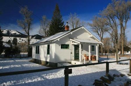
The Vigilante Cabin, also known as the Vigilante Middle House, offers a comfortable place to stay deep in the mountains of southwestern Montana. The cabin
used to be a guard station and boasts two bedrooms, a kitchen, living room and electricity. It is close to many outdoor recreation opportunities, including fishing,
hiking and hunting, as well as off-road vehicle trails and gold panning.

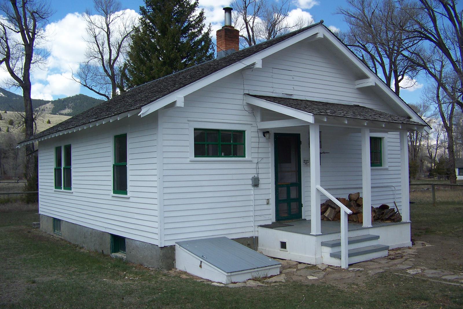
The house and two adjacent buildings were built by the Civilian Conservation Corps on the site of a range experiment station. The white clapboard middle house is available for rent, while the two other houses on the property are still used by Forest Service personnel and volunteers throughout the year. Though usually quiet, this can be a busy site when work crews are using those adjacent facilities.

The cabin is accessible throughout most of the year by vehicle; however, a portion of the road may be difficult to navigate when wet or snow-covered and may not be plowed. Guests are
responsible for their own travel arrangements and safety, and must bring some of their own amenities.

Recreation

Guests can enjoy fishing the Ruby River for mountain whitefish and rainbow trout. Gold panning is also possible in a section of the river near the cabin.

Big game hunting is possible in designated areas. Appropriate licenses are required.

A variety of hiking trails and points of exploration exist around the cabin. Off-road vehicle trails are also available in the area. During winter months, guests
enjoy snowmobiling and snowshoeing on the many nearby trails.

Facilities

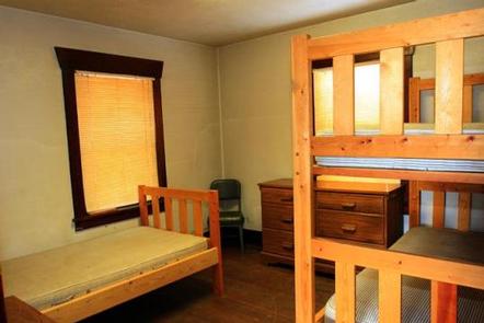
You must call the Madison Ranger District at 406-682-4253 Monday – Friday 8:00 am to 4:30 pm for the cabin combination. The office is NOT open on Federal Holidays. The large, two-bedroom cabin has a bunkbed and single bed with mattresses in each bedroom to sleep up to six people. It has electric lights and a water heater. The
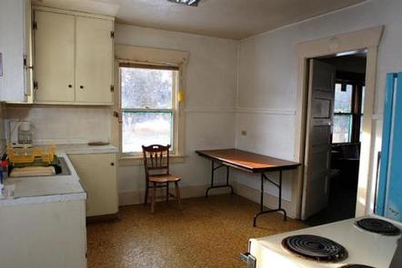
kitchen is equipped with a range, refrigerator, table and chairs, cookware and utensils. A wood stove heats the cabin, and firewood is provided.

The living room is fully furnished, and there is a functioning bathroom during the summer months, with running water, a sink, shower and a flush toilet. The
bathroom is sealed off when the water system at the cabin is winterized. The water system is winterized from October to May. A concrete outhouse with vault toilet is available east of the house. A picnic table and a fire ring are located nearby but firewood is not provided for campfires.

Guests need to bring their own water from October to May. Other items to bring include bedding, pillows, towels, soap, matches, flashlight and garbage bags, among other
necessities. Guests are asked to replenish the supply of split wood and kindling, pack out all food and garbage, and clean the cabin prior to leaving.

Natural Features

Located along the Ruby River, the facility stands at an elevation of about 6,100 feet between the Snowcrest and Gravelly mountain ranges. It sits in a mostly open and
grassy area with just a few cotttonwood trees around it, offering views of the nearby peaks.

A variety of wildlife makes its home in the area, including elk, mule deer, black and grizzly bears, mountain grouse, and other species ( learn more about bear safety ).

Nearby Activities

  • Camping
  • Fishing
  • Hiking
  • Hunting
  • Winter sports
  • Wildlife viewing

Gallery

Directions

From Sheridan, travel south on Highway 287 for about 10 miles to Alder. Turn south on Ruby River Road and continue about 22 miles to Vigilante Station. The last 20 miles are on a gravel road, which can be slippery when wet or snow-covered. The gate lock code is the same as the cabin. Maps of the area may be purchased by calling the Madison Ranger District.

GPS Coordinates

Latitude 45° 1′ 3.0698″ N

Longitude 111° 57′ 45.5800″ W
Categories
Uncategorized

HELLS CANYON GUARD STATION

Overview

Hells Canyon Guard Station is a quaint log cabin located in the Highland Mountains of Montana’s Beaverhead-Deerlodge National Forest. It is most often used as a base
camp by hunters and hikers. The area is replete with wildlife and provides access to scenic mountain views, as well as plentiful opportunities for recreation.

It was originally built in 1906 and used as a line cabin for ranchers before being donated to the Forest Service in 1910. The Forest Service has used the cabin as a guard station and now offers it for public enjoyment.

The cabin can be accessed by vehicle; however, during winter months, alternative resources may be required to reach the cabin. Guests are responsible for their own
travel arrangements and safety, and must bring several of their own amenities.

Recreation

Hunters frequently use the cabin as a base camp. Fishing is also available in nearby Hells Canyon Creek.

Hiking, mountain biking and horseback riding are popular activities enjoyed by visitors to the Hells Canyon area. Off-road vehicles are allowed on designated trails.
Off-road vehicles and motorcycles are also allowed in the area, but must be properly permitted and licensed to be on trails and roads.

During winter months, the area is popular for cross country skiing, snowshoeing and snowmobiling. Winter sports enthusiasts should carry and know how to use proper
backcountry equipment, including a beacon, shovel and probe.

Facilities

The large, single-room structure has bunk beds to sleep up to 4 people. It has drinking water, a propane cook top, a wood stove for heat and cooking, and a table and chairs. Basic cooking and eating utensils, pots and pans, as well as some cleaning equipment should be available inside. An outhouse with a vault toilet is nearby.

Electricity is not available at this cabin. There is a propane lantern you can use but propane is not provided. The propane is provided for the cook top that is located on the porch of the cabin. Guests will need to bring their own bedding, including blankets and pillows, towels, soap, matches, garbage bags, food and propane fuel (for lantern) in 16-ounce canisters. Guests are required to pack out all trash and clean the cabin prior to leaving. Cell phone service is rare or nonexistent in the area. 

Please remember that Hells Canyon Guard Station is considered a recreational area and shooting is not permitted around the cabin.

Natural Features

The cabin is in an idyllic setting, with pristine nature all around. It is situated along Hells Canyon Creek in a lush meadow of sagebrush and tall grasses.

The Beaverhead-Deerlodge National Forest is famous for its wide array of big game animals. Elk and deer are the most sought after by hunters on the forest and
in the Hells Canyon area. Upland game birds are also in the area.

Nearby Activities

  • Biking
  • Camping
  • Fishing
  • Hiking
  • Horseback riding
  • Hunting
  • Winter sports

Gallery

Directions

From Whitehall, travel south on Highway 55 for about 20 miles. Turn right off the highway just before crossing the Jefferson River, onto Forest Service Road 125, and continue west about 14 miles on a dirt road. Winter access varies with snow conditions. Guests may need to hike, ski or snowmobile to the cabin during winter months. Maps may be purchased by calling the Butte/Jefferson Ranger District.

GPS Coordinates

Latitude 45° 41′ 26.9902″ N

Longitude 112° 25′ 27.9098″ W
Categories
Uncategorized

GORDON REESE CABIN

Overview

Gordon Reese Cabin provides a modern, well-equipped place to stay while enjoying the scenic western Montana mountain ranges. During the summer a variety of recreational opportunities exist in the surrounding area, including hunting, hiking and viewing abundant wildlife. The cabin is a feature along the Lewis and Clark Trail.

During the winter months the Gordon Reese Cabin and surrounding areas transform into a winter wonderland. Surrounding the cabin are 32 kilometers of cross-country ski trails for which visitors enjoy various levels of difficulty. Gordon Reese Cabin is available as a warming hut to the public during the day, meaning the renters of the cabin do not have exclusive use of the facilities and are expected to act in a welcoming manner. The upstairs sleeping area can be closed off to provide limited privacy during the day when the cabin is used as a warming hut.

In the summer, the cabin can be accessed by a short, level hike from a parking area less than a mile away. In the winter, the cabin is available by cross-country skiing the same distance. Guests are responsible for their own travel arrangements and safety, and must bring several of their own amenities.

Recreation

Popular activities include hiking, cross-country skiing and mountain biking on the area’s many trails. The cabin sits along the famous Lewis and Clark Trail, which led frontier explorers through the area in the early 1800s. The entire length of the trail covers 4,600 miles, showcasing some of the most beautiful and rugged areas of America.

Facilities

The cabin has two double beds and four twin beds with mattresses in the loft, and can sleep up to eight people. A wood stove is available on the main floor for heat and firewood is kept in the basement, along with emergency and solar power equipment and other supplies. The cabin is equipped with propane-powered lighting.

A main floor contains a well-equipped kitchen, two tables with benches, cupboard and counter space with stools and a variety of cooking and eating utensils. The kitchen has a propane cooking stove and a sink for waste water. Water is not available at the cabin. An outdoor vault toilet is provided.

Guests will need to bring their own water for drinking, cooking and cleaning, as well as bedding, towels, toilet paper, soap, matches, food and other necessities. Guests must bring their own garbage bags and are required to carry out all garbage. The cabin must be cleaned prior to departure. There is no cell phone service in the area.

Natural Features

The Gordon Reese Cabin was built in 2001 and is located in the Picnic Meadows area near Chief Joseph Pass, along the Montana-Idaho border.

At the base of the Anaconda Mountain Range, the cabin sits in an evergreen forest with abundant wildlife in the area. Mountain lions, elk, deer, moose and bears can be found within the range (learn more about bear safety).

Nearby Attractions

Historic sites in the area include the Big Hole National Battlefield on the Nez Perce National Historic Trail. It is a commemorative site where war broke out in 1877 and is part of Big Hole National Battlefield, which is located about 15 miles east of the cabin.

Nearby Activities

  • Biking
  • Historic & cultural site
  • Camping
  • Fishing
  • Hunting
  • Winter sports
  • Wildlife viewing

Gallery

Directions

From Wisdom, travel west on Highway 43 for 26 miles, the parking area is located at the top of Chief Joseph Pass. The route has many signs. Maps of the area may be purchased by calling the Wisdom Ranger District.

GPS Coordinates

Latitude 45° 41′ 38.4698″ N

Longitude 113° 56′ 3.5200″ W

Categories
Uncategorized

LUPINE SHELTER

Overview

Lupine Shelter is a picnicking facility open year-round, however it is most heavily visited during the winter, when it is used by snowmobilers as a warming hut. It is an excellent location to have a picnic or a family gathering any time of year.

Recreation

In winter, snowmobiling, cross country skiing and snowshoeing are popular activities in the snow-covered meadow surrounding the shelter.

During the spring, summer and fall, a variety of hiking and mountain biking trails can be found in the area.

Facilities

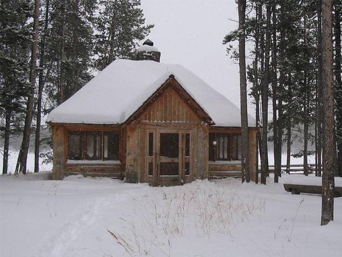
The day-use shelter boasts a beautiful large rock fireplace, lots of window and two tables with chairs inside. Guests are encouraged to clean up after themselves with the provided broom and dust pan.

Additional picnic tables are available outside the shelter. Accessible vault toilets are provided. No drinking water is available, nor is trash collection.

Natural Features

The shelter was built in the early 1990s, as a replica of a Civilian Conservation Corps-style building. It is situated in a grassy meadow surrounded by a forest of mature pine trees at an elevation of 7,600 feet.

In spring and early summer, vivid wildflowers color the meadow. A variety of birds and wildlife make their home in the area.

Nearby Attractions

The closest town is Wise River, Montana, which is about 25 miles north of the picnic area.

Nearby Activities

  • Biking
  • Camping
  • Fishing
  • Hiking
  • Winter sports
  • Wildlife viewing

Gallery

Directions

From Wise River, Montana, take the Pioneer Mountains Scenic Byway approximately 25 miles south.

GPS Coordinates

Latitude 45° 30′ 7.9999″ N

Longitude 113° 6′ 4.0000″ W

Categories
Uncategorized

CANYON CREEK CABIN

Overview

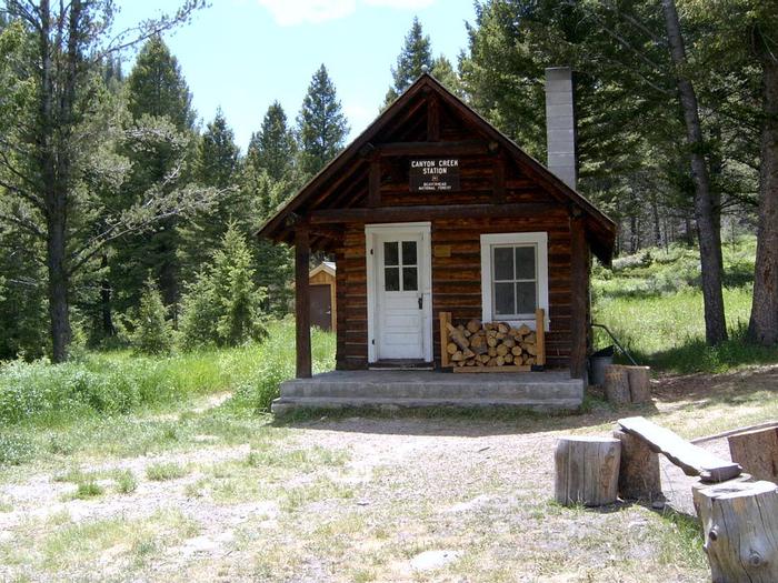
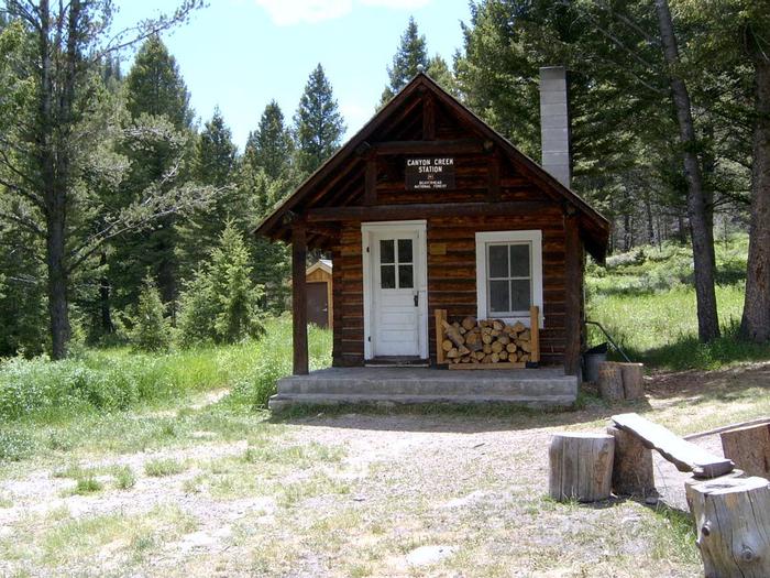
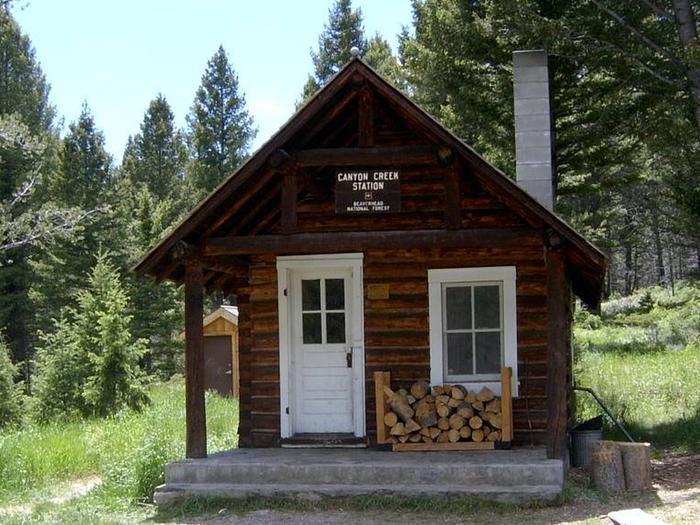
Canyon Creek Cabin is located in the middle of an old mining district. Historic sites that can be explored on foot or on a bike are nearby. A variety of trails exist in the area, as does abundant wildlife. The cabin is a quaint location for guests to enjoy the scenic Pioneer Mountains in southwestern Montana.

The cabin is accessible by a four-wheel drive or high clearance vehicle, depending on conditions. Snowmobiles, skis or snowshoes may be necessary during the months between December and April each year. Guests are responsible for their own travel arrangements and safety, and must bring several of their own amenities.

Recreation

A variety of old roads exist in the area, providing plentiful hiking and biking opportunities. A trail climbs 5 miles up to a group of glacial lakes in the Pioneer Mountains, and can be accessed near the ranch on Forest Road 7401. Charcoal kilns, which date back to mining days, are situated in the area near the cabin, as another point of exploration.

Hunting is a popular activity. Canyon Creek is available for fishing. Anglers might see brook, rainbow and cutthroat trout, among other species, in the cold creek. Fishing is also available in the lakes in the area.

The trails and roadways provide excellent snowmobiling, cross-country skiing and snowshoeing in the winter. Guests must realize the potential for avalanche danger, and carry and know how to use proper backcountry equipment, including a beacon, shovel and probe while recreating (learn about avalanche danger).

Facilities

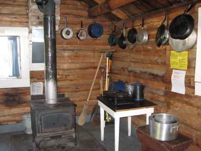
The small wood cabin can accommodate four people and is equipped with bunkbeds. A fold-down table and folding chairs are also provided, as well as a wood stove for heat. Firewood is also available but is not guaranteed.

A variety of equipment is available inside the cabin, including a saw, an axe and some dishes and pans. A broom, dust pan, shovel, bucket and a propane stove may also be available. The cabin has no electricity or running water. An outside vault toilet is provided.

Guests will need to bring water for drinking, cooking and cleaning, as well as bedding, matches, food, propane fuel canisters and necessary cooking equipment, among other amenities. Water from the creek must be treated before drinking or cooking use. Guests are asked to replenish the split firewood supply and clean the cabin prior to leaving.

Natural Features

The cabin was built in 1930 to be used as a guard station. It is situated at the base of a sheer cliff in the eastern Pioneer Mountain Range at an elevation of about 7,300 feet. The Wise River runs nearby and a mountain creek is adjacent to the cabin.

The cliff and surrounding area is home to many mountain goats. Moose can usually be found in nearby willow bottoms. During the winter, deer and elk can be seen on their winter range located up and down-canyon from the cabin. Black bears also frequent the area.

Nearby Attractions

A short drive takes visitors to Vipond Park where there are spectacular wildflowers in early summer. Glendale, an old smelter town, is nearby. There isn’t much left of Glendale, just a few old buildings, the red brick smelter stack and the foundations of many buildings. Two cemeteries are located nearby. Most of the area around Glendale is privately owned.

Nearby Activities

  • Biking
  • Historic & cultural site
  • Camping
  • Fishing
  • Hiking
  • Hunting
  • Wildlife viewing

Gallery

Directions

From Melrose, travel west on Forest Road 187 for about 13 miles, then continue southwest for 6 miles on Forest Road 7401. Four-wheel drive or high clearance vehicles are required to access the cabin. Depending on conditions, skis and snowmobiles may be necessary to complete the route. Maps may be purchased by calling the Dillon Ranger District.

GPS Coordinates

Latitude 45° 40′ 30.0698″ N

Longitude 112° 53′ 16.3298″ W

Categories
Uncategorized

HOGAN CABIN

Overview

Hogan Cabin is a small cabin located on the Lewis and Clark National Historic Trail in western Montana. The cabin was built in the 1920s to provide field quarters for trail crews, smoke chasers, timber cruisers and grazing inspectors that worked in the area.

It is a great retreat for snow lovers in the winter, as the cabin provides access to a variety of snowmobiling, cross-country skiing and snowshoeing trails. Summer and fall months give guests plenty of daylight and moderate temperatures to explore the surrounding meadows, peaks and valleys, as well as fish in plentiful mountain streams.

The cabin is only accessible by motorized vehicle during the summer months and until snow closes the road. Guests may have to snowmobile, hike or ski up to six miles, depending on conditions. Guests are responsible for their own travel arrangements and safety, and must bring several of their own amenities.

Recreation

The surrounding hills and valleys are popular for hiking and backpacking in the summer and fall, and for cross-country skiing, snowshoeing and snowmobiling in the winter.

The cabin sits along the famous Lewis and Clark Trail, which led frontier explorers through the area in the early 1800s. The entire length of the trail covers 4,600 miles, showcasing some of the most beautiful and rugged areas of America.

Hunting and fishing are also popular in the area. Mountain creeks and streams run near the cabin, and wildlife is abundant in the surrounding forest. It is also a popular place to watch for various bird species.

Facilities

The one-room log cabin has bunk beds and mattresses to sleep up to four people. It has a table and chairs, a propane stove, propane lantern, and a variety of cooking,
eating and cleaning equipment.

A wood stove is available for heat, and firewood and an axe are provided from September 16-June 15. Firewood is not provided from June 16-September 15. An outhouse with vault toilet and a campfire ring with grill are located nearby.

The cabin has no electricity or running water. Guests will need to bring water for drinking, cooking and cleaning purposes, as well as small propane canisters for the stove and lantern.

Guests also need to bring their own bedding, food, towels, soap, matches and flashlights, toilet paper, garbage bags and other necessities. There is no cell phone service available at the cabin. Guests are required to pack out all trash and food and clean the cabin prior to leaving.

Natural Features

The cabin is situated on the Lewis and Clark National Historic Trail at an elevation of about 7,300 feet. It is at the southwestern end of the Anaconda Mountains,
near the Sapphire Range, in the Beaverhead-Deerlodge National Forest.

The Anacondas are home to abundant wildlife, including mountain lions, elk, deer, moose and bears (learn more about bear safety).

Nearby Activities

  • Historic & cultural site
  • Camping
  • Hiking
  • Winter sports
  • Wildlife viewing

Gallery

Directions

Travel west on Highway 43 from Wisdom, Montana for approximately 20 miles. Turn north on the Trail Creek Road #106, travel for approximately 6 miles to the cabin. It will be located on the left (west) side of the road.

Access 1
This route takes off from the Chief Joseph Pass cross country ski parking area. Travel north on the Broadway Trail for about one mile until the trail intersects with FS road #1260. The first mile is for skiers only. The remaining road is shared by both skiers and snowmobiles. The route is marked with blue and orange diamonds. This route is recommended for the novice or inexperienced skier. The total distance is 6 miles.

Access 2
Shoofly Trail #3117 is the shortest route into Hogan Cabin and also the most difficult. This trail takes off from the parking area along Highway 43 by the Cabinet
Creek sign. There are a few sections with steep pitches and most of the difficult sections are tree-lined. If you choose the Shoofly Trail, consideration should be
given to snow conditions and skier experience. This trail is marked with blue diamonds.

Access 3
Shoofly Alternate: This trail leaves the Shoofly trail from the north end of the meadow and it rejoins Shoofly at the top of the hill. The Shoofly Alternate offers
skiers going to Hogan Cabin a more gentle ascent of the hill. If snow conditions are poor when you are returning from the cabin or you are not comfortable with the
faster downhill that Shoofly offers, this route may be advisable. It is marked by blue diamonds.

Access 4
Trail Creek Road #106 is the main snowmobile route into the area and is marked with orange diamonds. It is also the flattest route into Hogan Cabin. Skiers should
expect encounters with snowmobiles if they use this route. It is 6 miles to Hogan Cabin on this road.

A map of the area may be necessary to reach the cabin and can be purchased by calling the Wisdom Ranger District.

GPS Coordinates

Latitude 45° 42′ 49.0298″ N

Longitude 113° 52′ 47.6800″ W