Madison Campground is a spacious campground covering nearly 7 acres.
Nearby Activities
- Camping
- Recreational vehicles
Directions
34 miles south of Ennis on Highway 287.
GPS Coordinates
Latitude 44° 52′ 37.8840″ N
Longitude 111° 34′ 32.5560″ W
Madison Campground is a spacious campground covering nearly 7 acres.
34 miles south of Ennis on Highway 287.
Latitude 44° 52′ 37.8840″ N
Longitude 111° 34′ 32.5560″ W
This is a small high elevation campground surrounded by lodgepole pine near Van Houten Lake.
From Jackson, MT travel 1.5 miles south on Highway 278. Take Forest Road 181 for 10.5 miles to the campground.
Latitude 45° 14′ 52.9080″ N
Longitude 113° 28′ 35.1120″ W
Established as part of the National Wilderness Preservation System in November 1983, the Lee Metcalf Wilderness consists of 259,000 acres distributed across the Madison Range in southwest Montana. The wilderness contains four separate units. The Bear Trap Canyon unit of 6,000 acres is administered by the Bureau of Land Management. The other three units are administered by the Forest Service and are in the Gallatin and Beaverhead-Deerlodge national forests. The three are Spanish Peaks, 76,000 acres; Taylor Hilgard, 141,000 acres; and Monument Mountain, 33,000 acres. View our detailed information.
Latitude 45° 6′ 46.5804″ N
Longitude 111° 29′ 50.5572″ W
The Anaconda Pintler Wilderness is a 158,656-acre area straddling the Continental Divide located in southwest Montana. It’s known for its high, rugged mountain scenery where mountain goats make their home. Elevations range from 5,100 feet in the lower reaches to 10,793 feet on West Goat Peak. Passes are commonly snow-covered until mid July. View our detailed information.
Latitude 45° 58′ 13.0620″ N
Longitude 113° 24′ 37.8252″ W
At the heart of the forest, this district has several campgrounds, picnic and other recreation areas to explore.
Latitude 45° 44′ 51.3969″ N
Longitude 113° 5′ 44.2662″ W
This ranger district is in the northeast corner of the forest. Located near two major highways, there are many campgrounds and picnic area to choose from on this district making them a nice place to stop along your journey.
Please be "Bear Aware" and check out our Bear Country Safety information before you recreate on the Madison Ranger District. We want you and the bears to enjoy the forest!
Latitude 46° 3′ 37.2145″ N
Longitude 112° 14′ 38.4050″ W
This southernmost district has several campgrounds, picnic areas, and even a rockhounding (crystals) area.
Latitude 45° 0′ 0.6704″ N
Longitude 113° 1′ 2.1295″ W
Located at the Headwaters of the Columbia River Basin, the continental divide surrounds Butte offering a variety of outdoor recreation opportunities for motorized and non-motorized enthusiasts.
Camping, hiking, hunting and fishing are a few of the more popular activities that attract visitors to the Butte-Jefferson Ranger Districts. Blue ribbon trout fishing is found on the Big Hole River, Jefferson River, and smaller streams throughout the districts.
Trail enthusiasts and rock climbers are drawn to the spectacular scenery and challenge of the granite outcrops found in the Homestake areas east of Butte. The Continental Divide National Scenic Trail traverses the forest and provides excellent hiking, horseback and mountain bike riding opportunities just minutes from Butte from several trailheads. Thompson Park and Sheepshead Recreation Area provide picnicking and trail opportunities that include portions of the Milwaukee Road in Thompson Park. High mountain peaks and lakes in the Tobacco Root Mountains provide spectacular vistas over 10,000 feet.
Off-highway vehicle enthusiasts can find fun and excitement at the Whitetail-Pipestone Area east of Butte. The area boasts miles of OHV routes that provide a challenge to both novice and experienced riders.
Latitude 45° 58′ 19.8093″ N
Longitude 112° 38′ 48.3994″ W
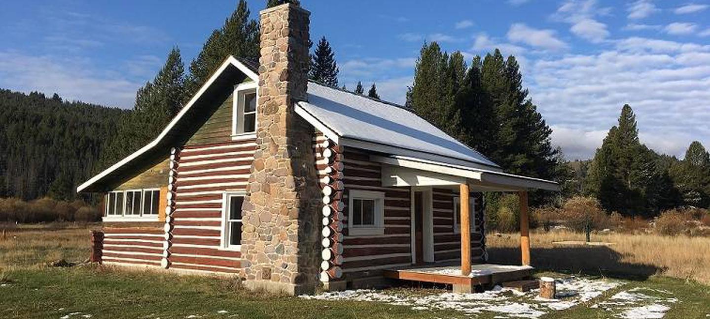
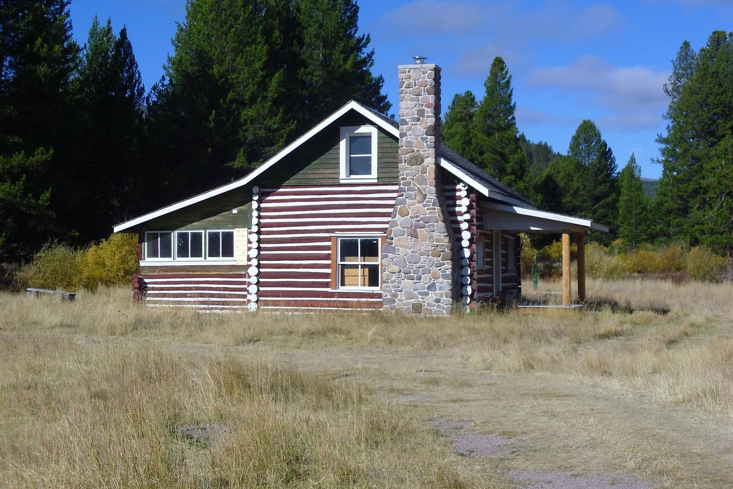
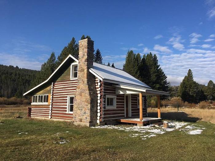
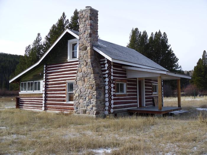
The West Fork of Rock Creek Cabin is located on the western edge of the Beaverhead-Deerlodge National Forest and is open for reservations year-round. It is a large cabin that provides a great experience in the mountains of southwestern Montana. The cabin offers access to numerous trails and wildlife viewing, as well as a comfortable place to picnic and spend the nights.
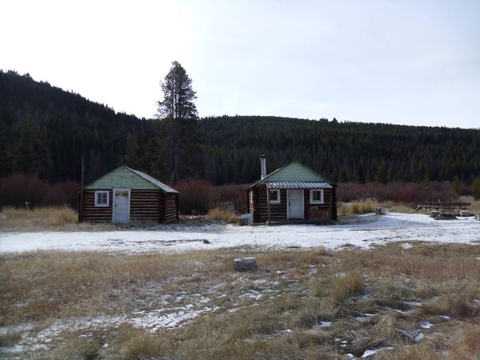
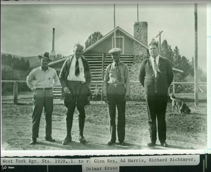
There are three structures at the site, which was once used as a Forest Service Guard Station and later as a youth camp. Only the large cabin has been restored and is available to the public. The smaller cabins are damaged and are not available to rent.
The site can typically be accessed by vehicle, depending on conditions. Excessive snowfall may require renters to walk about 200 yards from the plowed highway to the cabin. Guests are responsible for their own travel arrangements and safety, and must bring all of their own amenities.
This is a historic structure and is brought to you as a rental by the US Forest Service Historical Preservation Committee, the Beaverhead-Deerlodge National Forest and the Pintler Ranger District. Please help us keep it nice for future generations and respect the historic nature of this cabin.
A variety of hiking is available in the area, as well as ample wildlife viewing. Visitors enjoy cross-country skiing and snowshoeing in the winter.
Fishing is popular in the many clear mountain streams adjacent to the cabin. Anglers may see plentiful trout populations, as the area is known for some of the world’s finest trout streams.
The cabin is located along the scenic Skalkaho Highway 38, which links Hamilton and Philipsburg, in southwestern Montana. The drive into the Sapphire Mountains is primitive and was once a trail widely used by Native Americans. The roadway was built to provide access between mining areas and agricultural communities in the Bitterroot Valley. The road leads to Skalkaho Falls in the nearby Bitterroot National Forest; however, the road is closed to wheeled vehicle traffic in the winter but is easily accessible by snow machine.
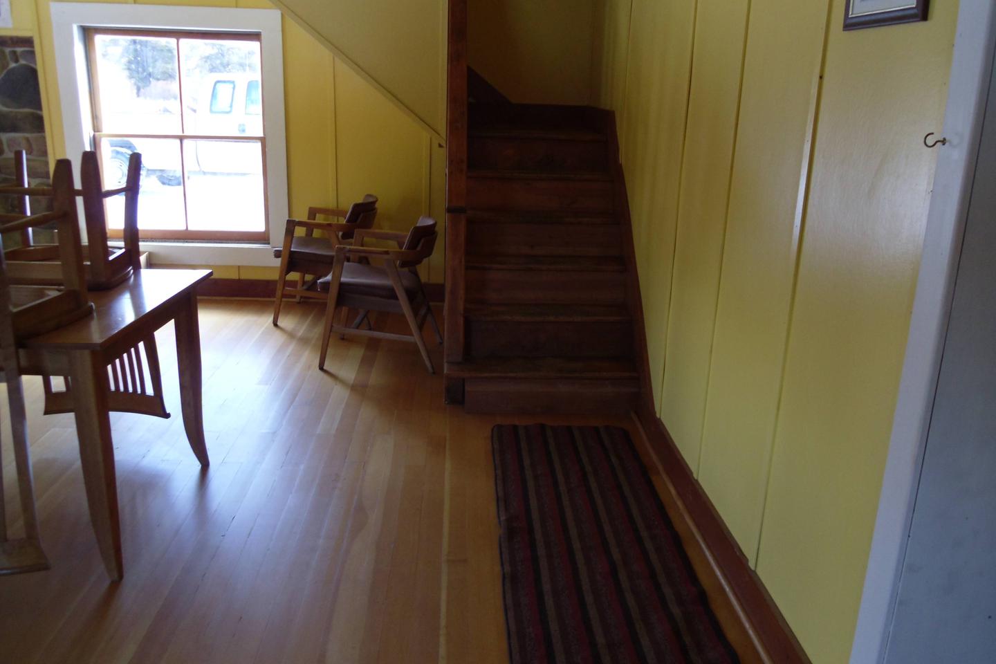
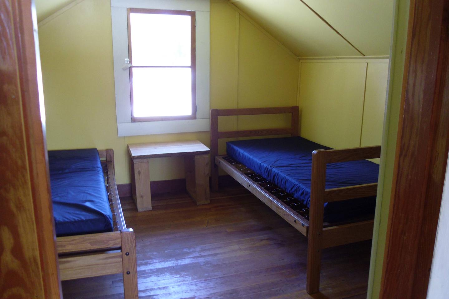
The cabin is equipped with five beds with mattress pads that can sleep up to five people. It is a large cabin so feel free to bring more cots. The cabin is two stories and will comfortably accomodate several people. It has a table and chairs and a wood stove is provided for heat. Firewood is available, but not guaranteed.
There is a very large parking area and circle driveway beside the cabin that will easily accomodate RV’s and Travel Trailers. (There are NO hook-ups) The whole cabin complex is behind a locked gate.
An accessible outhouse with a pit toilet is located a short distance north of the cabin.
There is no electricity or plumbing and the well is only open seasonally.
There is little to no cell phone service available in the area.
Guests need to bring their own Cook Stove and utensils, sleeping bags, pillows, lanterns and flashlights, matches, food, toilet paper and garbage bags. Firewood is sometimes provided but cannot be guaranteed. Guests are asked to replenish the supply of split wood and kindling, pack out all trash and food, and clean the cabin before leaving.
PLEASE be extremely careful with gas operated lanterns and stoves
The log cabin is situated near the Anaconda Pintler Wilderness in an open meadow surrounded by evergreens. The area is known for its high, rugged and beautiful mountain scenery, where hundreds of mountain goats make their home. The cabin is close to some scenic, clear mountain streams and ponds, where a number of wildlife species, including elk, moose, deer, mountain lions and bears, come to water (learn more about bear safety.
The cabin is in a large pasture and horses may be turned loose but you must check the fence for damage before using it. As a reminder, pelletized or certified weed seed free feed and straw is required in all National Forests in Montana; please plan accordingly.
Gem Mountain Sapphire Mine https://gemmountainmt.com/
The Town of Philipsburg http://www.visitphilipsburg.com/ , 20 minute drive
Skalkaho Pass and Skalkaho Falls, 30 minutes west on Skalkaho highway
Main fork of Rock Creek, Middle fork of Rock Creek, and North Fork of Rock Creek are all within 10 minutes
Reservations are nonrefundable unless extenuating circumstances warrant otherwise. Determination will be made on a case by case basis.
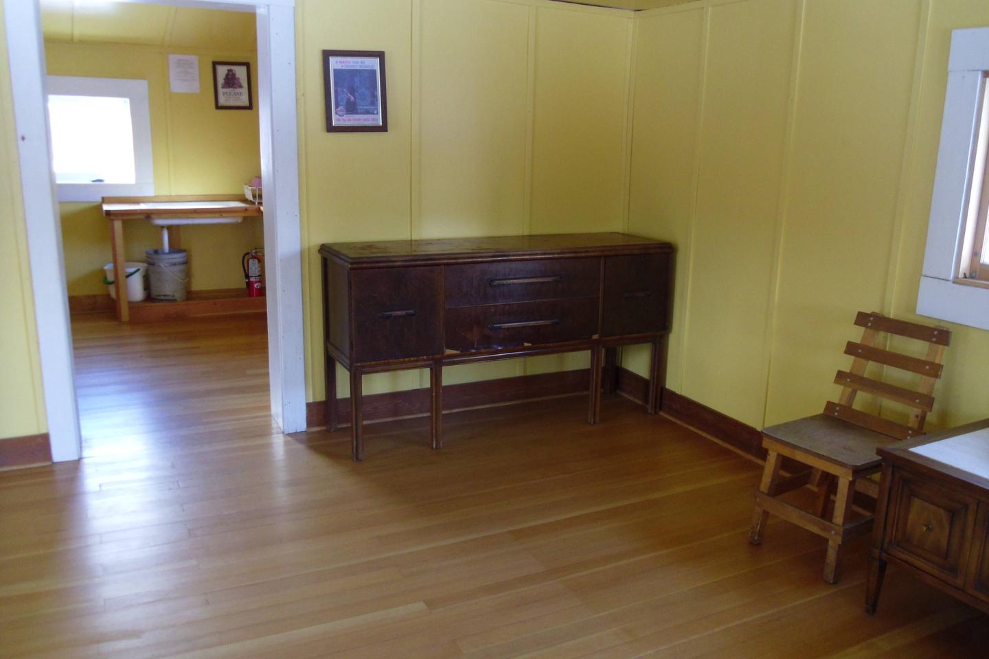
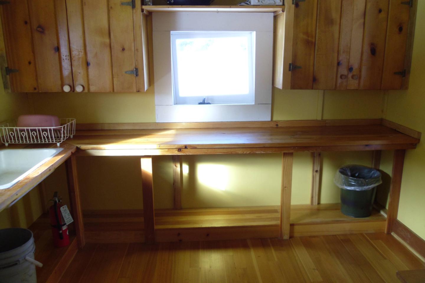
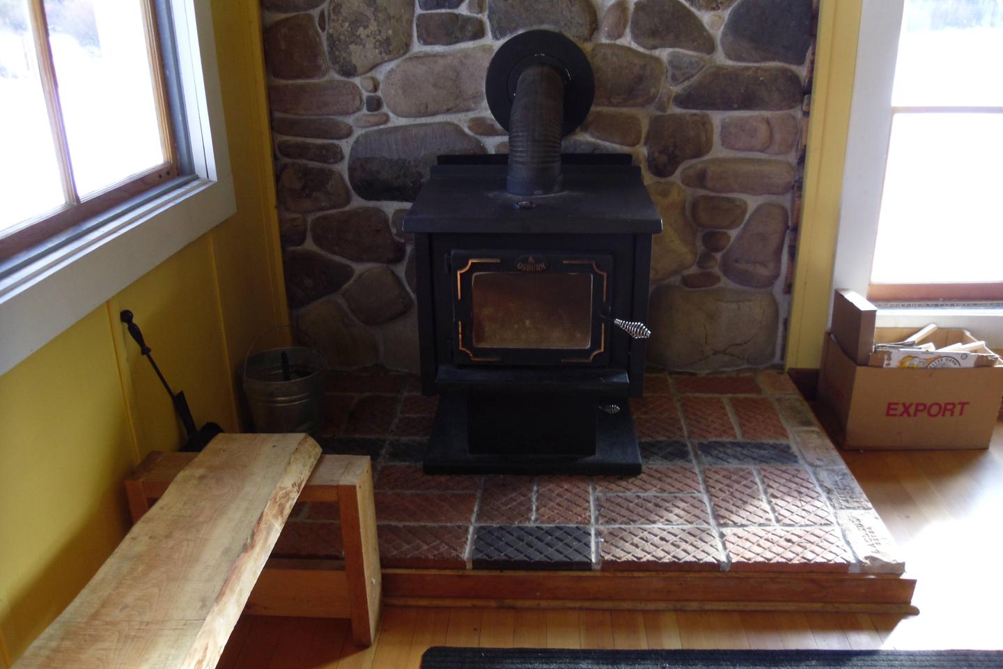
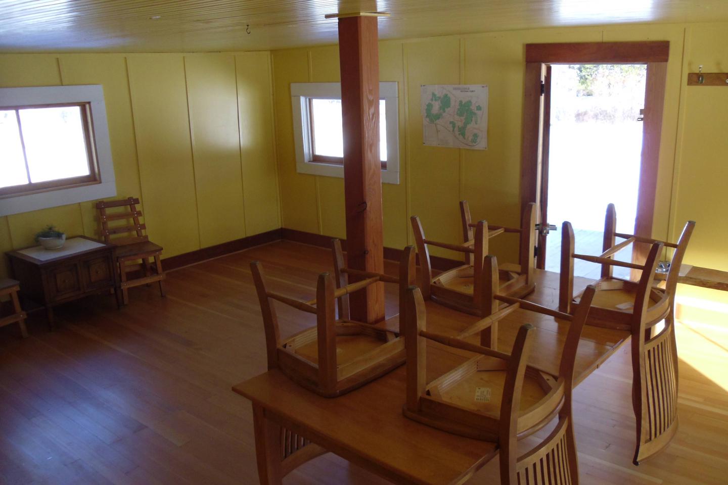
From Philipsburg, travel south on Highway 1 for just over 6 miles. Turn right onto Skalkaho Highway/Highway 38 and travel west for about 13 miles. The entrance to the cabin is on the left, behind a locked gate, which uses the same key code as the cabin. The last 200 yards of the road may be closed due to snowfall during the winter months. Maps may be purchased by calling the Pintler Ranger District.
Latitude 46° 13′ 43.4302″ N
Longitude 113° 33′ 29.4502″ W
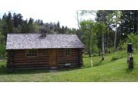
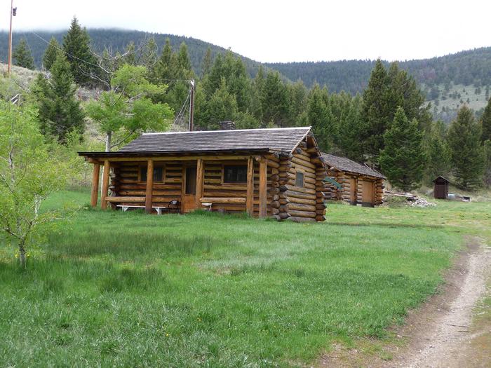
Birch Creek Cabin is a historic log cabin with electricity and running water. It provides access to a variety of hiking, ohv, and for cross-country skiing and snowshoe trails (depending on the season). A vaulted toilet lies 100′ west of the cabin.
Guests can typically access the cabin by vehicle, depending on conditions. The roads leading to the cabin are gravel – but suitable for passenger cars (depending on the season and snow levels). The final quarter-mile may be covered with impassible snow during the winter, requiring skis, snowshoes or snowmobile to complete the route. There is a reliable parking area just off of the Birch Creek Road near the Thief Creek Bridge. Guests are responsible for their own travel arrangements and safety, and must bring several of their own amenities.
An extensive network of hiking trails exists on the surrounding peaks and valleys. Some lead to alpine lakes, which offer quality mountain fishing. Grayling, cutthroat trout, brook trout and rainbow trout can all be found in the mountain waters.
There are two popular cross-country skiing and snowshoeing trails adjacent to the cabin. The Birch Creek Loop and the May Lake Ski Trail both traverse through the area. Old mining roads are plentiful in the area, providing excellent opportunities for exploration on foot, bike, ohv or horseback.
The two-room log cabin is equipped with bunkbeds and mattress pads that will sleep up to four people. A separate kitchen has a table and chairs, an electric cook stove, pots and pans and basic eating and cooking utensils.
A wood stove is available inside the cabin for heat and firewood is provided. An outhouse with a vault toilet is available outside the cabin. Drinking water is provided, but is not available year-round.
Guests will need to bring their own bedding, including blankets and pillows, as well as matches, food, toilet paper, garbage bags and other necessities. Wood may be available, but the supply cannot be guaranteed. Those staying at the cabin during the winter months will need to bring their own water for drinking, cooking and cleaning purposes.
Guests are asked to be conservative with wood and propane fuel used to light the cabin, as well as clean the cabin and carry out all trash upon departure.
There is no cell phone reception at the cabin. Limited cell phone coverage may be obtained near the Forest Boundary to the east (carrier dependent).
The cabin sits below a historic Civilian Conservation Corps work camp at the confluence of Birch Creek and Thief Creek. It is situated on the eastern slopes of the Pioneer Mountains in southwestern Montana, and was used as a forest ranger station as early as 1908. A forested picnic area is nearby.
An abundance of wildlife live in the area, including elk, moose, deer, pine marten, wolverine, northern goshawk, wolf, black bear and (rarely) grizzly bear.
Farlin Mining Community, Torrey Mountain, Tweedy Mountain, Thief Creek Road (passable in summer and fall), Aspen Picnic Area, Dinner Station Campground, Bond Lake Trailhead, Deerhead Lake Trailhead, Minneopa Trailhead. From Willow Creek Road – Gorge Lake Trailhead, Torrey Lake Trailhead, Rainbow Lake Trailheads

From Dillon, travel north on I-15 for 12 miles to exit 74 at Apex. Turn west and continue about 8 miles on Birch Creek Road. Cross the bridge and take the first right onto Thief Creek Road. The cabin is about 1/4-mile to the west at Thief Creek. Depending on snow conditions, guests may need to park at the Birch Creek Road turnoff and ski or snowmobile to the cabin. Maps may be purchased at the Dillon Ranger District or online http://www.fs.usda.gov/bdnf (mobile maps are available).
Latitude 45° 24′ 55.1902″ N
Longitude 112° 51′ 16.8800″ W