Categories
Uncategorized

MCCART LOOKOUT

Overview

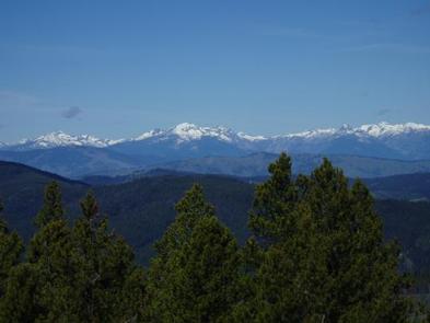
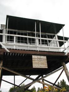
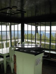
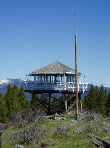
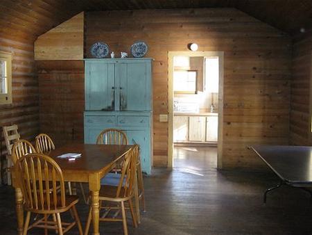
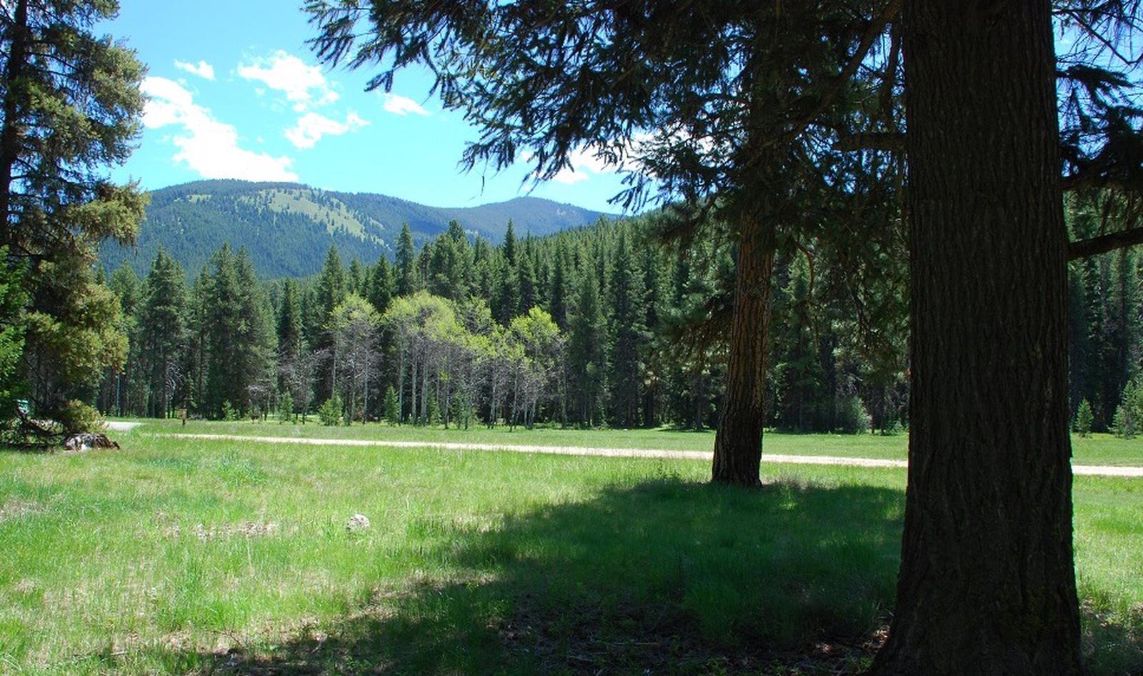
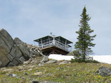
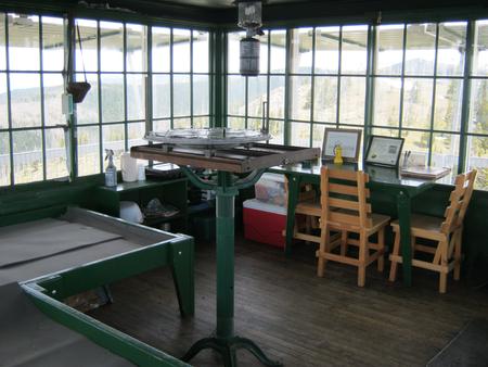
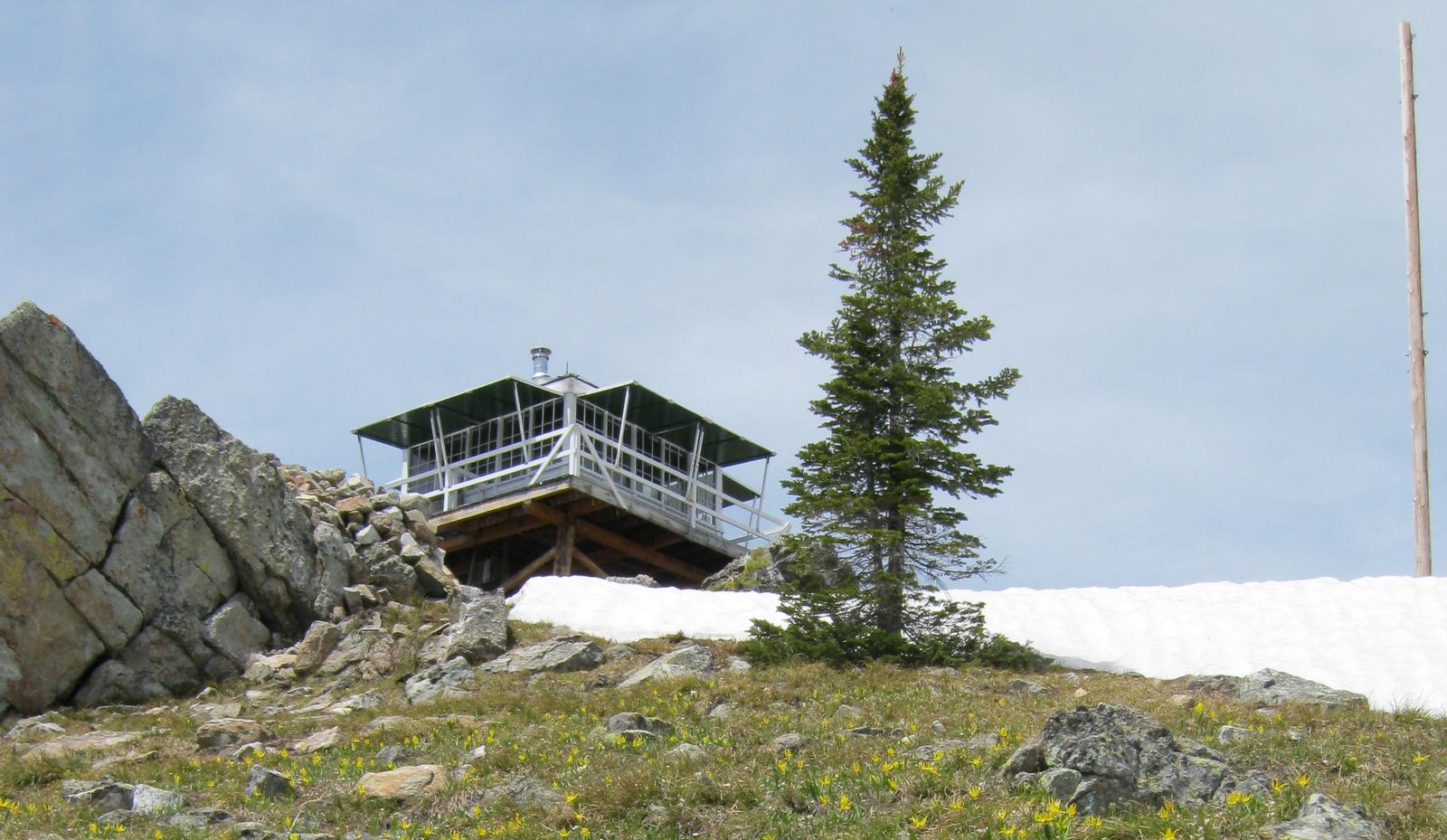
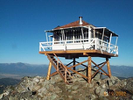
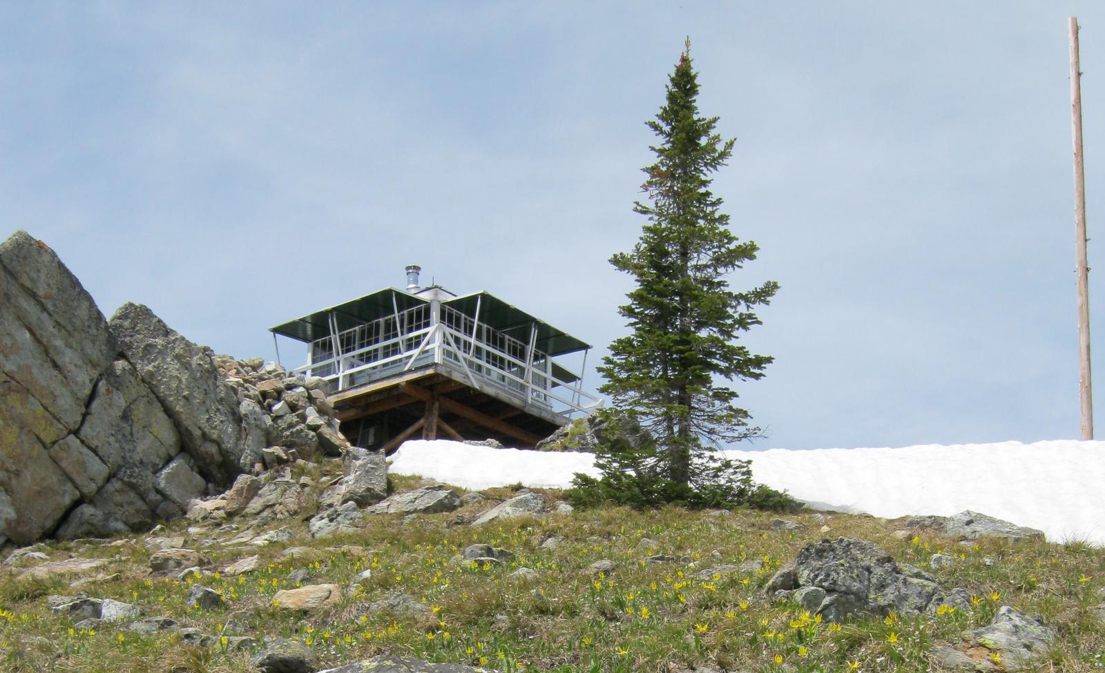
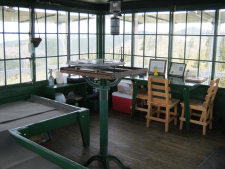
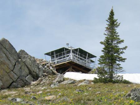
McCart Lookout is a historic tower located on McCart Peak, east of Sula. It has been restored to reflect a lookout of the 1940s, including the stove, furniture, dishes and other small touches. It offers a unique chance for visitors to camp on a mountain peak, on the border of the Anaconda-Pintler Wilderness, in a rustic, old-time setting. The tower provides spectacular views of the surrounding western Montana wilderness.

Recreation

The trail to reach the tower continues south and joins the Continental Divide National Scenic Trail, which extends 3,100 miles across the United States, from the borders of Mexico to Canada. While it might take about six months to complete, a variety of day hikes and points of exploration are available within the area of the lookout tower. Trails can be enjoyed on foot or on horseback. Backpackers also enjoy the terrain.

Aside from hiking and horseback riding, the area is replete with wildlife and offers scenic views. A lookout journal is kept inside, providing instructions of what to do in case of emergency or a storm. Danger from lightning is largely abated due to a lightning rod implanted at the structure.

Facilities

The 14-by-14 room sits at the top of an 10′ tall tower and can accommodate up to four people. It is equipped with a bed platform for two, as well as a table and chairs, wood stove for heat and a propane camp stove and lanterns. Basic eating and cooking utensils are available and an outdoor toilet is provided.

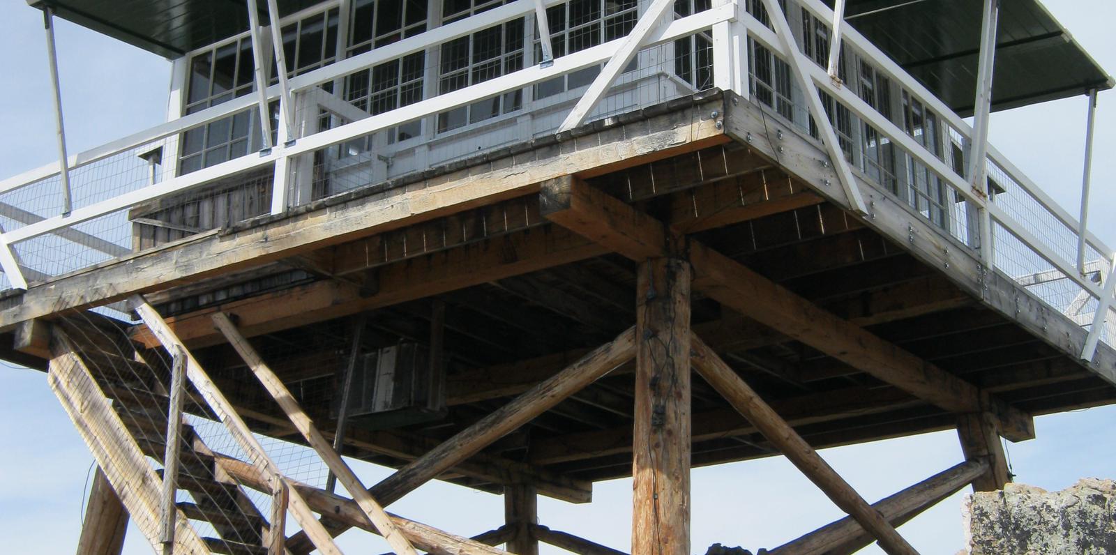
The lookout is built on a 10 foot tall tower, with narrow steps and catwalk. This may pose a hazard for children and pets. Guests are responsible for their own safety.

A 30-inch catwalk surrounds the tower’s single, glass-paneled room. Guests may need to saw their own firewood from down and dead material surrounding the lookout, and a bow saw and axe are provided.

Guests will need to bring their own water for drinking, cooking and cleaning purposes, as well as propane fuel canisters for cooking and lighting. Guests are also responsible for their own bedding, towels, soap, toilet paper and garbage bags. The facility does not provide trash receptacles; all garbage must be carried out, and the tower must be cleaned by guests prior to leaving.

The tower is accessed by a moderate, 1.5-mile hike from the parking area. Snowmobiles and other off-road vehicles are not allowed on the trail, however, horses and other livestock are welcome. Guests are responsible for their own travel arrangements and safety, and must bring several of their own amenities.

Natural Features

The tower is situated east of the Bitterroot Valley, at an elevation of 7,115 feet. It was named for William McCart, who settled the area but failed to complete his homestead entry to patent. It is poised on the edge of the Anaconda-Pintler Wilderness and offers beautiful views of the Pintler Mountains to the east and the Bitterroot Mountains to the west.

The Bitterroot forest is home to many species of wildlife, from mule deer, whitetail deer, elk, bighorn sheep, mountain goats, black bear, mountain lions, and moose, to many varieties of smaller animals and birds.

Nearby Attractions

A variety of natural hot springs exist in the area, including the the Lost Trail Hot Springs, which is located about 13 miles northwest of the tower. It provides swimming and additional amenities, including a general store and lodging.

Nearby Activities

  • Historic & cultural site
  • Camping
  • Hiking
  • Wildlife viewing
  • Fire lookouts/cabins overnight

Gallery

Directions

From Missoula, Montana, travel south on Highway 93 for approximately 90 miles to Sula. Go east on Highway 472 for about 15 miles and then south on Forest Road 5765/McCart Road for about 6 miles to the Johnson Peak Trailhead. Hike about 1.5 miles to the lookout tower.

GPS Coordinates

Latitude 45° 53′ 4.9999″ N

Longitude 113° 43′ 3.0000″ W

Categories
Uncategorized

LARRY CREEK GROUP CAMP

Overview

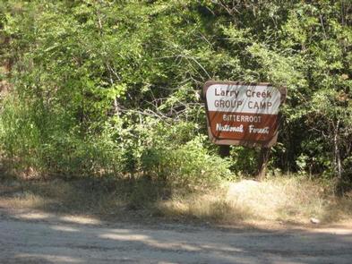
Larry Creek Group Campground is located in western Montana’s Bitterroot National Forest. It is a great location for an extended family or group getaway, providing access to many fishing, hiking, mountain biking and hunting opportunities.

Recreation

A variety of non-motorized trails are nearby, including a half-mile nature trail that highlights some the area’s best features. The 9-mile Bass Creek Trail is located just south of the campground and leads to a scenic overlook and many fishing holes.

Bass Lake, Bass Creek and numerous additional mountain streams make the campground a very popular location for fishing.

An interpretive trail, fitness trail and volleyball court are located within the campground.

Facilities

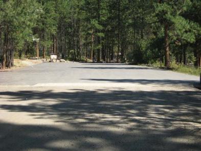
The campground offers one large, accessible group campsite, available for tent and RV camping. It can accommodate up to 75 people and 10 vehicles. The adjacent parking area is small, limiting RVs to about 30 feet in length.

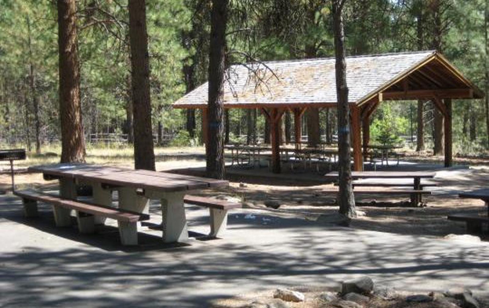
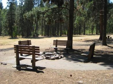
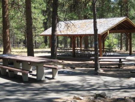
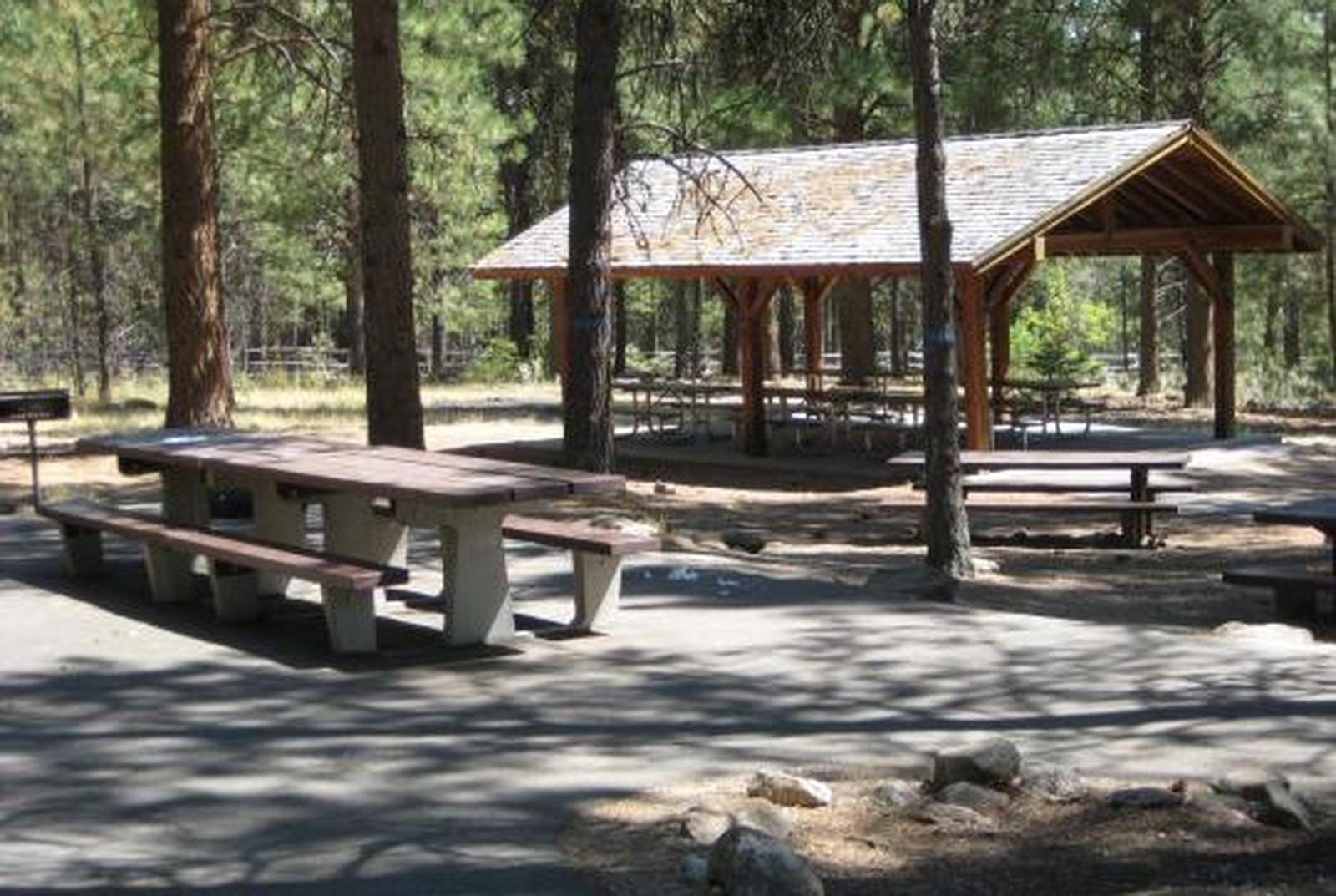
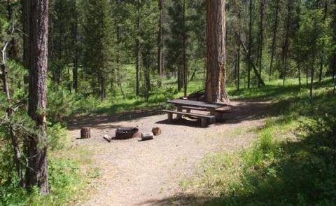
The site is equipped with a picnic shelter, several tables, a large campfire circle and grills. Accessible vault toilets and drinking water are provided. A gravel road accesses the campground.
Vehicles must stay on Forest Roads and in the designated parking area. Vehicles are not allowed off-road. Motorized access to the meadow is not allowed.

Natural Features

The campground sits at a fairly low elevation in the Bass Creek Recreation Area between Missoula and Hamilton. It is situated west of the Lee Metcalf National Wildlife Refuge, in an area forested with pine, spruce and fir trees.

A variety of wildlife, including mule and white-tailed deer, elk, moose and birds can often be seen in the area.

Nearby Attractions

The Lee Metcalf National Wildlife Refuge is located along the Bitterroot River about 20 miles from the campground. The refuge provides visitors with opportunities for wildlife observation, photography, hunting, fishing and environmental education. A wildlife viewing area offers 2.5 miles of nature trails, including an accessible 0.5-mile path. The trails meander through meadows and woodlands along the river.

A variety of services are available in the neighboring city of Stevensville.

Nearby Activities

  • Biking
  • Camping
  • Fishing
  • Hiking
  • Hunting
  • Wildlife viewing
  • Backpacking

Gallery

Directions

From Stevensville, travel northwest on County Road 269 to Highway 93. Continue about 4 miles to Bass Creek Road. Travel 2 miles on Bass Creek Road and less than a mile on Forest Road 1136. Turn onto Forest Road 1316 and continue about a mile to the campground.

GPS Coordinates

Latitude 46° 38′ 17.0002″ N

Longitude 114° 17′ 57.0001″ W

Categories
Uncategorized

WOODS CABIN

Overview

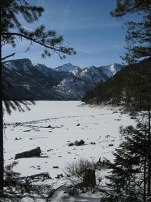
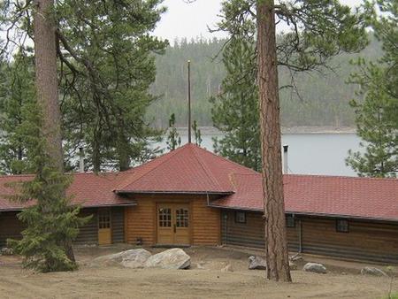
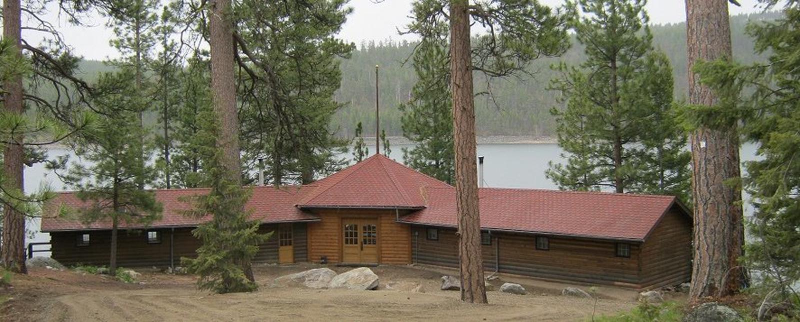
Woods Cabin offers a unique chance to camp in the forest, in a rustic, old-time setting, while enjoying all the summer and winter activities that are available from the shore of scenic Lake Como.

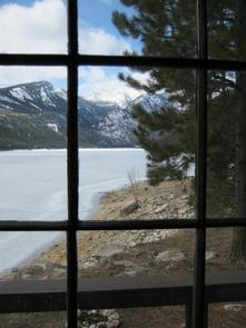
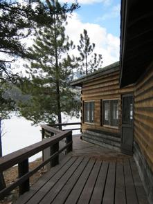
The cabin provides a comfortable experience and spectacular views, with its large windows and decks overlooking the lake and nearby mountain peaks. It also provides access to the lake and a nearby beach and gives visitors access to a myriad of trails and open spaces.

IMPORTANT WINTER RENTAL INFORMATION:

Woods Cabin is available for rent in the winter and provides a great basecamp for numerous outdoor winter recreation activities. To ensure your stay is enjoyable, there are a few things to note when renting the cabin during the winter. The road to the cabin is NOT maintained during the winter months, so depending on weather conditions, you may or may not be able to drive to the Woods Cabin parking lot. The gate is closed on the access road to Woods Cabin for public safety so that visitors do not drive down to the cabin and get stuck or slide into the cabin. The county road, however, to the boat launch (located on the south side of Lake Como) is maintained. Visitors can park at the boat launch and walk, ski, or snowshoe across the dam and up to Woods Cabin, which is approximately ¾ mile. Be prepared to haul your gear into the cabin via sled or backpacks. There is no drinking water available this time of year, so please bring your own drinking water. Firewood is provided at the cabin but it may need to be split. A splitting maul is also provided. Please be aware of rapidly changing weather conditions and always use caution and be prepared when recreating in winter conditions.

Recreation

Boating, fishing, swimming and other water sports are popular on Lake Como. Anglers might see rainbow and cutthroat trout, as well as kokanee salmon, among other alpine species. A boat ramp and parking area are available at the south side of the lake. A large, sandy beach is available to visitors at the north side of the lake.
To the west of the cabin, a short walk will take visitors to a trailhead that begins a 7-mile loop trail around Lake Como. The Lake Como National Recreation Loop Trail is suitable for hiking, mountain biking and accessing the lake for swimming or picnics. The first quarter-mile of the trail is wheelchair accessible and the trail also crosses Rock Creek at one point.
Approximately 3 miles from the cabin, at the west end of the lake, is a magnificent waterfall that cascades over fern-covered rock cliffs. A trail continues from the waterfall, or heads west up Rock Creek, into the Selway-Bitterroot Wilderness area.
Winter activities include cross-country skiing on un-groomed terrain, snow shoeing, and ice fishing.

Facilities

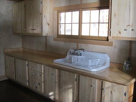
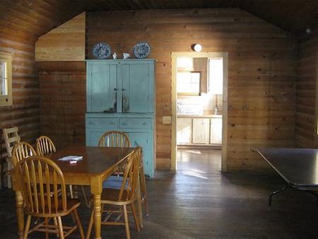
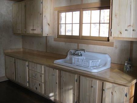
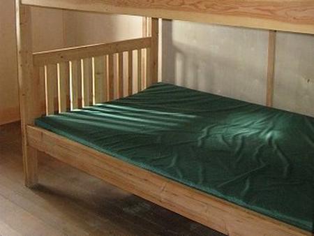
The rustic cabin has three bedrooms, a living area and a kitchen. It has beds that can accommodate up to 12 people (double bunk beds with mattresses). The main living area offers a table and chairs and two wood stoves for heating. Woods Cabin is ony partially furnished. There is no electricity or hot water. We recommend bringing your own sleeping bags or bedding, ice chest, dish soap, matches, 1st Aid kit, flashlights, etc. Each renter is responsible for leaving the cabin cleaner than they found it. We’d appreciate your feedback on the condition of the cabin or any suggestions you may have.

The cabin was built in 1928 and was renovated in 2011. Please be aware that this is a rustic cabin and despite our efforts to control the rodents, there may be rodent activity. Please keep the cabin clean and store food in containers or cupboards.

Firewood is provided at the cabin but it will need to be split. A splitting maul is also provided.

The driveway to the cabin is on a moderately steep hillside that flattens to a pull-through loop near the cabin entrance. Parking at the cabin is limited to 2 vehicles, but other vehicles can park in the upper parking lot.

Day use passes are required at day use sites within the Lake Como Recreation Area from Memorial Day through Labor Day. Four day use passes are provided for Woods Cabin visitors and will be located inside the cabin. Upon vacating the cabin, please return the passes for the next renters to use. Additional vehicles need to have a day pass displayed. Day passes can be purchased on site within the Recreation Area.

Natural Features

The cabin is located along the north shore of 913-acre Lake Como in the central Bitterroot Mountains of western Montana. It is situated at an elevation of 4,245 feet and is primarily used for meetings, workshops and retreats, as it can accommodate a larger group of people. The cabin is more than 90 years old and accommodations are rustic.
A variety of wildlife and birds can be seen from the cabin and its surroundings. Osprey, bald eagles, deer, moose, elk and bears make their home in the area (learn about outdoor safety ).

Nearby Activities

  • Biking
  • Boating
  • Camping
  • Fishing
  • Hiking
  • Winter sports
  • Water sports
  • Wildlife viewing
  • Swimming site

Gallery

Directions

From Darby, Montana, continue north on Highway 93 for 4 miles. Turn west onto County Road 82/Lake Como Road. Follow signs to the Lake Como National Recreation Area and continue past the swimming area, to a gate at the third lot. Maps of the area can be purchased by calling the Darby Ranger District.

GPS Coordinates

Latitude 46° 3′ 56.0002″ N

Longitude 114° 14′ 38.0000″ W
Categories
Uncategorized

HORSE HEAVEN CABIN

Overview

The Horse Heaven Cabin is a historic cabin that sits between two scenic wilderness areas in northeastern Idaho. It provides access to a variety of trails and recreational opportunities unique to the area. The cabin is equipped to handle equestrian campers, as well as adventurers of all types.

Recreation

Visitors to the area enjoy big and small game hunting, as well as for birds and waterfowl. Proper licenses are required to hunt within the Idaho and neighboring Montana.

There are a variety of hiking and horseback riding trails in the area. The trails are also popular for cross country skiing, backcountry skiing and snowshoeing in the winter months. Bicycles and motorized travel are not allowed within wilderness boundaries.

Facilities

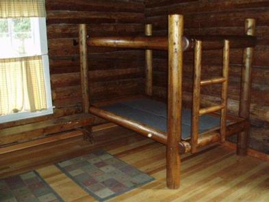
The one-room, 16-by-18 cabin is equipped with two built-in bunk beds that can accommodate up to four people. It has a table and chairs, a propane cook stove, propane lantern and a wood stove for heat.

Basic cooking and eating utensils are provided, as well as some cooking pots. Firewood for the stove is also available outside the cabin. A small stream may provide water during the summer, but it should be boiled or treated before it is used for drinking or cooking purposes. A vault toilet is provided in an outhouse behind the cabin.

Guests will need to bring their own sleeping pads and bedding, as well as propane fuel for cooking and lighting. Guests will also need to bring water for drinking, cooking and cleaning during the fall and winter months. Food, matches, flashlights, toilet paper and garbage bags are not provided. Guests must carry out all trash and clean the cabin prior to their departure.

The cabin is accessible most of the year by four-wheel drive and high-clearance vehicles. Winter access, however, is restricted to snowmobiles or cross country skiing up to 57 miles. Guests are responsible for their own travel arrangements and safety, and must bring several of their own amenities.

Natural Features

The cabin was built in 1939 by the Civilian Conservation Corps for use as a fireman’s cabin. It is situated at an elevation of 7,100 feet on a road that divides the 1.2 million-acre Selway-Bitterroot Wilderness and the 2.3 million-acre Frank Church-River of No Return Wilderness areas.

While the cabin is on the edge of an open meadow, most of the area is covered by coniferous forests. Because of its size, the wilderness provides a secluded habitat for a wide variety of wildlife. Large populations of mountain lions and grey wolves live in the area, as well as lynx, coyote, fox, bighorn sheep, mountain goats, elk, moose, deer and black bears.

Nearby Attractions

The cabin lies near the prehistoric southern Nez Perce Trail, which was used by Native American tribes as a seasonal migration and subsistence route between eastern Oregon and Idaho and the buffalo country in eastern Montana.

Today, the dramatic winding road serves as a boundary between the heart of thousands of square miles of two designated wilderness. The area is some of the wildest land in the country and is well worth the time to explore.

Nearby Activities

  • Biking
  • Camping
  • Hiking
  • Hunting
  • Winter sports
  • Wildlife viewing

Directions

From Elk City, Idaho, travel southeast on Highway 14 and Forest Road 222. Continue east on Forest Road 468 for about 36 miles.

From Darby, head south for 4 miles on Highway 93. On West Fork Road/Highway 473, continue past the 14-mile marker to the Nez Perce Road/Magruder Corridor Road. Turn west and go 57 miles on the paved, gravel, one-lane, steep road and turn south at the sign for Trail 28 and follow tracks to the cabin.

High-clearance vehicles are required to access the cabin year-round. Maps may be purchased by calling the West Fork Ranger District.

GPS Coordinates

Latitude 45° 38′ 6.0000″ N

Longitude 114° 54′ 46.0001″ W

Categories
Uncategorized

FALES FLAT CAMPGROUND

Overview

Fales Flat Campground is a group facility on Nez Perce Fork of the Bitterroot River. It is also well equipped for equestrian campers. The campground provides access to a variety of hiking and horseback riding trails in the area, as well as a variety of historic sites that denote the presence of the Nez Perce many years ago.

Recreation

Fly fishing and wading in the Nez Perce Fork, which runs alongside the campground, are also popular activities.

A variety of trails and unimproved roads are great for hiking and horseback riding. Three trails originate near the campground, including the Watchtower Trail and Sheephead Creek Trail which access the Selway-Bitterroot Wilderness and can be hiked as a loop. A steep, 2-mile trail leads to the historic Bare Cone Lookout.

Facilities

The campground offers one large group site for tent and RV camping. It can accommodate 15 to 100 people. Hookups are not available. Parking surfaces are gravel.

The site is equipped with multiple tables and a large campfire circle. Vault toilets are provided. Drinking water and trash collection bins are not available.

A few individual and equestrian sites are available at the campground on a first-come, first-served basis. Those sites have access to a horse staging area and hitching racks.

Natural Features

The campground is located in a large meadow at the base of Nez Perce Pass along the Nez Perce Fork of the Bitterroot River. The area is believed to have been used by the Nez Perce Nimi’ipuu tribe during its travels to the buffalo country in eastern Montana.

Nearby Attractions

The campground is about 23 miles from the town of Conner. A variety of services are offered there.

Nearby Activities

  • Biking
  • Camping
  • Fishing
  • Hiking
  • Hunting
  • Scenic drive
  • Historic sites

Gallery

Directions

From Darby, travel south on Highway 93 for about four miles. Turn onto Highway 473 and continue southwest for 14 miles. Turn west onto Forest Road 468 and continue about 12 miles to the campground.

GPS Coordinates

Latitude 45° 44′ 46.0000″ N

Longitude 114° 26′ 35.9999″ W

Categories
Uncategorized

GIRD POINT

Overview

The Gird Point Lookout offers a unique chance to camp on top of a mountain peak in a rustic, old-time setting. It sits high above the valley and provides panoramic views of three surrounding mountain ranges.

Comfortably equipped, the lookout tower provides almost everything anyone would need to enjoy a variety of recreational opportunities available in the mountains of western Montana.

Recreation

A variety of hiking and mountain biking trails are available in the area, as well as some off-road vehicle trails. The adjacent mountainsides have had several large fires in the last few decades and visitors will see a mosaic of recovering vegetation patterns. Hazardous snags still remain standing and hikers should use caution, especially during high winds.

The lookout is known for its scenic views that can be enjoyed on just about any day of the year, regardless of current weather conditions. It provides a peaceful location to relax and enjoy nature. A variety of wildlife make its home in the area as well, providing ample sightseeing and wildlife viewing opportunities, from a vantage point at least 8 feet from the highest point in the region.

Facilities

The 14-by-14 lookout is equipped with two beds that can sleep up to four people. It has a table and chairs, a propane stove and lantern, basic eating and cooking utensils and pots and pans, as well as a wood stove for heat and cooking. Firewood should be available at the tower but supply cannot be guaranteed. An outdoor toilet is also provided.

Guests will need to bring their own water for drinking, cooking and cleaning purposes, as well as propane fuel canisters. Bedding, including mattress pads, is not provided. Visitors should plan to bring bedding, towels, soap, matches, garbage bags, toilet paper and food, among other necessities. Guests are required to pack out all trash and clean the cabin prior to leaving. Basic cleaning equipment is provided. No smoking or open flames (candles) in the Lookout. No fireworks.

The lookout can be accessed by vehicle and then a short hike over a moderate grade for the remainder of the route. Guests are responsible for their own travel arrangements and safety.

The historic L-4 cabin sits on top of an 8′ high tower, with narrow steps and catwalk. This may pose a hazard for children and pets. Guests are responsible for their own safety.

Natural Features

The lookout is located 20 miles east of Hamilton, Montana, in the Bitterroot National Forest at an elevation of 7,702 feet. A 30-inch catwalk surrounding the glass-paneled room offers unobstructed views of the surrounding Sapphire, Bitterroot and Anaconda-Pintler mountain ranges.

The 8-foot tower was originally built to watch for forest fires in the Hamilton/Skalkaho area, but it was later turned into a public recreation location. The lookout was restored beginning in 2001 and now has vintage 1940s furnishings.

Nearby Attractions

Highway 38 is also called the Skalkaho Highway. It continues into the Sapphire Mountains along a primitive and once widely used Native American trail. The scenic drive, which is closed during winter, was built to provide access between mining areas and agricultural communities in the Bitterroot Valley.

Nearby Activities

  • Biking
  • Camping
  • Hiking
  • Wildlife viewing

Gallery

Directions

From Hamilton, Montana, travel east on Highway 38 for about 7 miles. Turn north onto Gird Road/Forest Road 714 and continue for about 13 miles to the Gird Point Lookout Trailhead. The tower is approximately 1/2 mile hike from the parking area.

GPS Coordinates

Latitude 46° 1′ 21.7099″ N

Longitude 114° 10′ 41.3101″ W

Categories
Uncategorized

EAST FORK CABIN

Overview

East Fork Cabin offers visitors a unique chance to camp in the Bitterroot National Forest of southwestern Montana. The cabin takes visitors back to a rustic, old-time setting and provides access to a variety of recreational opportunities on public lands.

The site is available year-round and offers additional camping areas to accommodate large groups. An adjacent picnic area and pavillion provides a convenient location for everyone to gather.

The cabin can be accessed by vehicle, however during winter months (October through April), alternative resources may be required to reach the cabin. The road is plowed up to three-quarters of a mile from the cabin. Guests are responsible for their own travel arrangements and safety, and must bring several of their own amenities.

Recreation

Fishing is popular in the nearby river. A variety of trout, including brown, rainbow, cutthroat and brook, can be found in the area between Sula and Conner. Winter fishing for whitefish is popular and productive, as the river is closed to trout fishing during the colder months. The catch along the East Fork is fairly evenly divided between bait, spin and fly fishermen.

The surrounding hills and valleys are popular for hiking, backpacking and horseback riding in the summer and fall. Cross country skiing, snowshoeing and snowmobiling can be enjoyed in the area during the winter (learn more about avalanche safety). Winter sports enthusiasts can enjoy more than 50 miles of groomed trails, along with a number of unmarked trails that are open for recreation.

Facilities

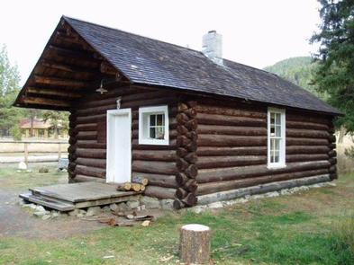
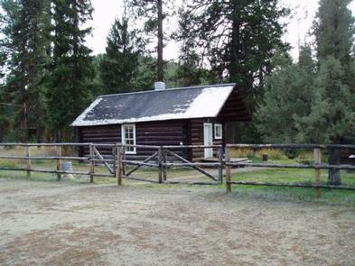
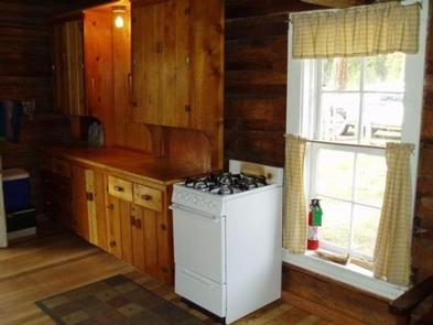
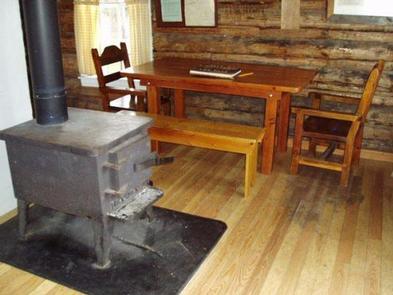
The small, one-room cabin can accommodate up to eight people. It is equipped with bunk beds and mattress pads, a table and chairs, counter and cupboard space and a propane cooking stove and oven. Propane is provided.

There are electric lights and one outlet for power. There is a wood stove for heat and firewood is provided. Pots, pans, plates and utensils are also available. Drinking water is available at the pump house and a vault toilet is located in an outhouse that is adjacent to the cabin. Toilet paper is provided.

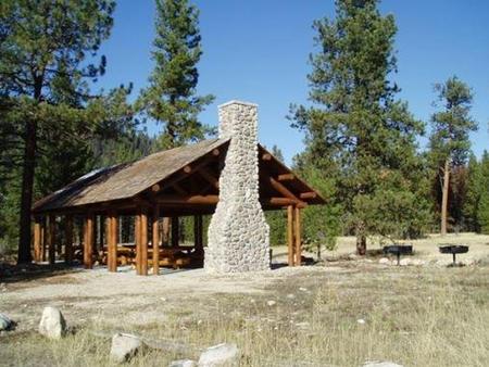
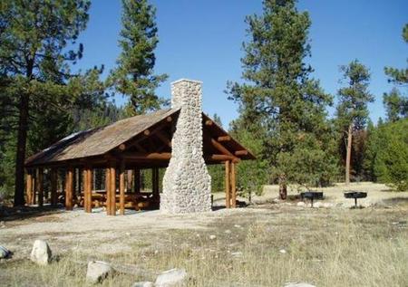
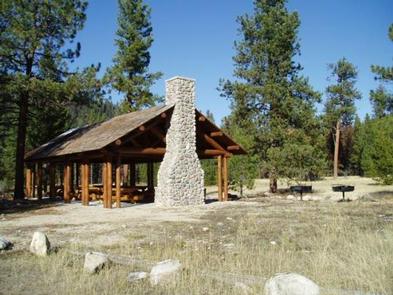
A large, log picnic shelter is also available at the site. It has a fireplace and two large charcoal grills. Even though there is a limit of eight people at the cabin, RV and tent camping is allowed in designated areas at the cabin. The site has a 35 person limit.

Guests will need to bring their own bedding, towels, soap and garbage bags. Guests are asked to replenish the supply of cut wood, as well as clean the cabin prior to their departure. Basic cleaning supplies are provided.

Natural Features

The rustic cabin was built before 1914 and was restored in 1987. It was originally a guard station, used by fire watchers in the forest. It is situated on the East Fork of Bitterroot River, at an elevation of about 5,200 feet.

The river flows west from within the Anaconda-Pintler Wilderness, to just south of Conner, Montana, where it joins the West Fork of the Bitterroot River to form the Bitterroot River. During the spring the river becomes a dangerous combination of fast water and snags.

The Anacondas are home to abundant wildlife, including mountain lions, elk, deer, moose and bears ( learn about outdoor safety ).

Nearby Activities

  • Historic & cultural site
  • Camping
  • Fishing
  • Hiking
  • Winter sports

Gallery

Directions

From Sula, travel northwest on Highway 93 for less than a mile. Turn northeast (right) onto East Fork Road/County Road 472 and continue about 16 miles to the cabin. Maps may be purchased by calling the Darby-Sula Ranger District at 406-821-3913.

GPS Coordinates

Latitude 45° 55′ 22.0001″ N

Longitude 113° 43′ 34.0000″ W
Categories
Uncategorized

INDIAN TREES CAMPGROUND

Overview

Indian Trees Campground is a quiet place to stay 3/4 miles off of Highway 93 in the mountains of southwest Montana. It provides access to a number of enjoyable recreational activities, as well as the vast scenery of the rugged Bitterroot National Forest. The area boasts wild game, high quality water and wild and scenic rivers.

Recreation

Visitors enjoy a variety of recreational opportunities, including hiking, mountain biking and horseback riding. A number of trails can be accessed near the campground, including the Nez Perce National Historic Trail and the Lewis and Clark National Historic Trail. The Nez Perce NHT is a 3.1-mile trail begins near the turnoff to the campground and follows a portion of the original Nez Perce route. Explorers in the early 1800s also used the route, and wagon ruts are still visible along parts of the trail. The Continental Divide National Scenic Trail is also nearby.

Fishing is available in nearby Camp Creek. Anglers will find mostly cutthroat trout but other species are available. A variety of wildlife, including big game like mule and white-tailed deer, elk and moose, makes its home in the area.

Facilities

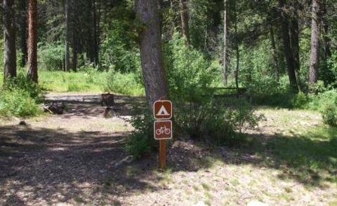
The campground offers 15 single-family campsites, available for tent and RV camping. Most sites can accommodate up to 10 people and two vehicles, however, one site can accommodate up to 15 people. Site #6 is accessible, while Site #2 is designated for use by bicyclists.

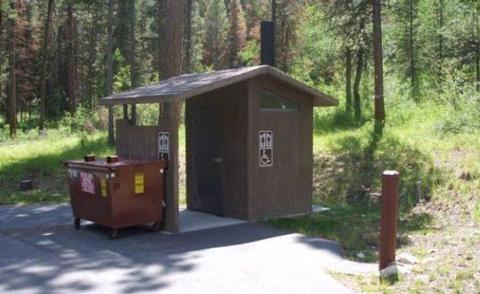
Each site is equipped with a table and campfire ring with grill. Accessible vault toilets and drinking water are provided. A campground host is on-site. Utility hookups are not available.

Natural Features

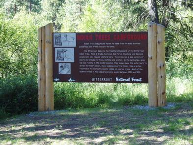
The campground is conveniently located near Highway 93, at an elevation of about 5,100 feet. It is named for the numerous scarred ponderosa pine trees in the area. Native American populations that once lived in or frequented the area stripped the trees of bark to expose and extract the tree’s sweet cambium layer for food. The trees remain historically significant and provide shade to the campground.

Nearby Attractions

Popular Lost Trail Hot Springs is located less than a half-mile from the campground. Unlike the majority of natural hot springs, Lost Trail lacks sulfur, making it odorless and very comfortable for swimming.

A general store and lodging is located in Sula Store, about 5 miles north.

Nearby Activities

  • Biking
  • Historic & cultural site
  • Camping
  • Fishing
  • Hiking
  • Hunting
  • Swimming site

Gallery

Directions

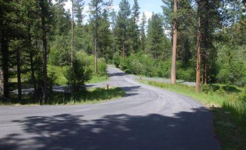
From Sula, travel 6 miles south on Highway 93, then 1 mile southwest on Forest Road 729. Road to campground is gravel, but the campground and parking spurs are paved.

GPS Coordinates

Latitude 45° 45′ 19.8756″ N

Longitude 113° 57′ 15.7248″ W
Categories
Uncategorized

SPRING GULCH

Overview

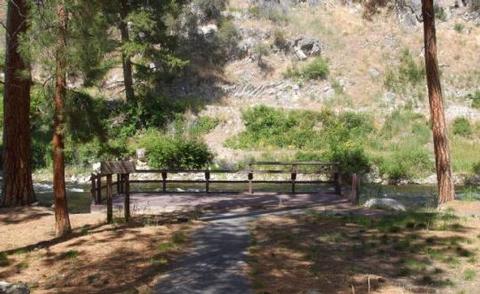
Spring Gulch Campground is a well-maintained campground located about 50 feet from the highway, on the banks of the scenic Bitterroot River. Visitors enjoy a variety of recreational opportunities, including hiking, mountain biking, fishing and swimming. The campground provides accessible sites and amenities, making it a comfortable spot for anyone to relax in the mountains of southwestern Montana.

Recreation

A number of hiking, biking and horseback riding trails can be accessed near the campground. The Continental Divide National Scenic Trail can be accessed not far from the campground, as well as trails that lead to the area’s numerous mountain peaks.

A variety of natural hot springs exist in the area, including Lost Trail Hot Springs, which is approximately seven miles south of the campground. The springs are popular places for swimming. A general store and lodging are located nearby.

Rafting, canoeing, kayaking and fishing on the Bitterroot River are also popular activities. A short paved path meanders along the river and an accessible fishing dock is located within the campground. Anglers can expect to find mainly cutthroat trout, but other freshwater species are available.

Facilities

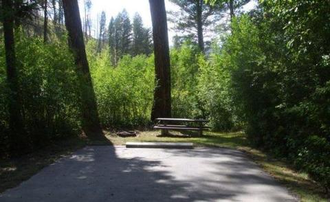
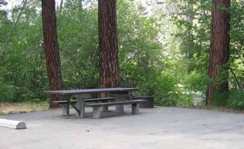
The campground offers single and double-family campsites, some of which are accessible. Picnic tables and campfire rings with grills are provided, as are accessible vault toilets and drinking water. RV hookups are not available.

Natural Features

Located on the banks of the Bitterroot River, the campground is nestled in a ponderosa pine forest. It is easily accessible from Highway 93 and sits at an elevation of about 4,300 feet in the Bitterroot National Forest. A variety of wildlife, including big game like mule and white-tailed deer, elk and moose, makes its home in the area.

Nearby Attractions

The small town of Sula is less than five miles from the campground, offering gas and a post office.

Nearby Activities

  • Boating
  • Camping
  • Fishing
  • Hiking
  • Swimming site

Gallery

Directions

The campground is located in southwestern Montana, approximately 75 miles south of Missoula. From Sula, travel three miles northwest on Highway 93.

GPS Coordinates

Latitude 45° 51′ 31.0000″ N

Longitude 114° 1′ 23.0002″ W
Categories
Uncategorized

PINEY CAMPGROUND AND BOAT LAUNCH

Overview

Piney Campground is adjacent to Georgetown Lake and provides ideal access to fishing, boating and water skiing. It is located in the Pintler Ranger District of the Beaverhead-Deerlodge National Forest. Surrounded by mountains of outstanding beauty, the location is perfect for visitors who enjoy mountain and water sports or those who prefer relaxing and taking in the spectacular view.

Recreation

Georgetown Lake is a prime destination for fishing and fly fishing with kokanee salmon, rainbow and brook trout being the most sought-after species. Canoeing and boating are also popular activities. Hikers, horseback riders and mountain bikers will find no shortage of trails within a few miles of the campground.

Facilities

The facility has 29 sites that are all first-come, first-served, with the exception of one loop, with 19 sites, that can be reserved in advance during the summer season. It is available for RV or tent camping and is boater-friendly with paved roads and a boat ramp nearby. The campground features drinking water and vault toilets. The sites include picnic tables and fire rings.

Natural Features

The campground overlooks the Anaconda-Pintler Wilderness. Georgetown Lake is a large mountain lake spanning close to 3,000 acres at an elevation of over 6,000 ft. Lodgepole pines enclose the lake and surrounding mountains, providing a home to abundant wildlife including moose, elk, white-tailed deer and even bighorn sheep. Water birds such as the graceful blue heron as well as hawks and other birds of prey also inhabit the lake area.

Nearby Attractions

The towns of Anaconda and Philipsburg are nearby and the campground is adjacent to Georgetown Lake. Discovery Ski Area is close by with lift-access mountain biking.

Nearby Activities

  • Biking
  • Boating
  • Camping
  • Fishing
  • Hiking
  • Swimming site
  • Swimming
  • Star gazing
  • Water access

Gallery

Directions

From Hwy 1 take Georgetown Lake Road over dam. Follow signs; Piney will be 2 miles on your left.

GPS Coordinates

Latitude 46° 11′ 44.0599″ N

Longitude 113° 18′ 7.9099″ W