Categories
Uncategorized

HORNET LOOKOUT

Overview

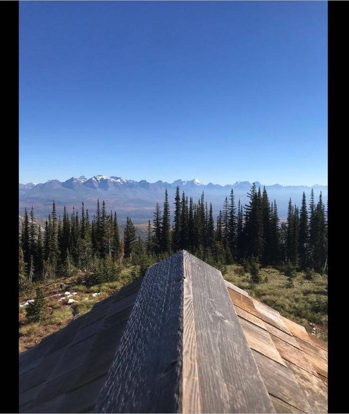
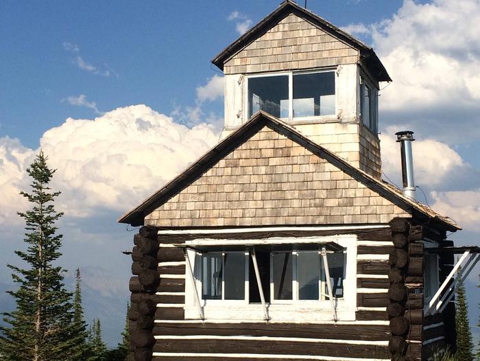
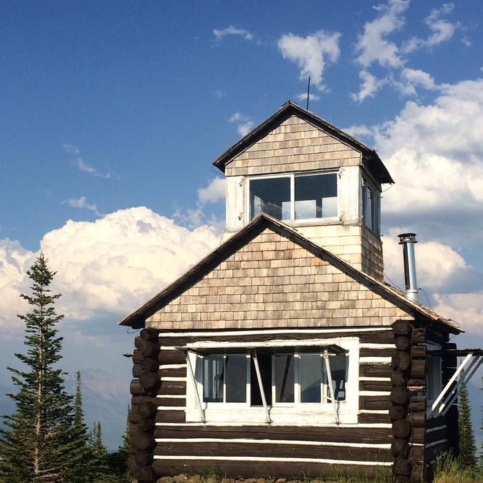
Hornet Lookout provides guests with astounding 360-degree views of the surrounding terrain, including Glacier National Park and Kintla Lake on clear days. On some nights, the Northern Lights may be seen from the lookout. Visitors also enjoy access to a variety of recreational activities.

Access to the lookout requires a one-mile hike from the trailhead at the parking area. Guests are responsible for their own travel arrangements and safety, and must bring several of their own amenities.

Recreation

Hiking and mountain biking on the gravel roads and trails are among the activities available in the area. Viewing wildlife is another rewarding pastime.

Facilities

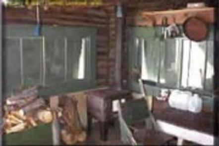
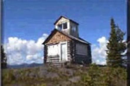
The two-story lookout sits at ground level. The ground level provides a living space for two guests and the second story is a small loft used solely for full views of the region. The lookout’s rustic accommodations include a propane cook stove, propane lantern, two cots, a small wood stove for heat. A pit toilet is provided outside the lookout. Pets are allowed, but cleaning up after them is required.

No water is available. Guests should pack their own bedding, water, first aid kit and food, among other necessities. Click here for more cabin details.

Natural Features

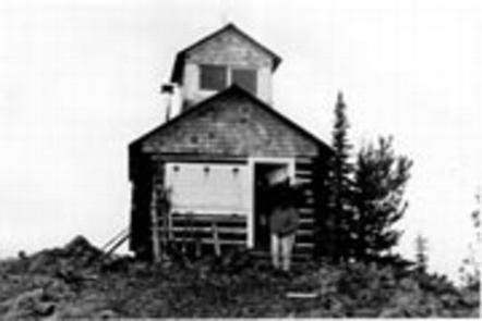
The scenic lookout is perched atop Hornet Peak, at an elevation of 6,744 feet. Nearby peaks include Wedge Mountain and Akinkoka Peak. The rustic lookout was built in 1922 and, in its prime, played an integral role for detecting forest fires in the North Fork area. A 2003 wildfire charred the surrounding area, but wildflowers and bear grass are making a comeback.

Glacier View Ranger District is bordered on the east by the North Fork of the Flathead River and Glacier National Park. To the north is Canada and west is the Montana’s Kootenai National Forest.

Nearby Attractions

Glacier National Park and the Wild and Scenic North Fork of the Flathead River are nearby.

Nearby Activities

  • Historic & cultural site
  • Camping
  • Hiking
  • Wildlife viewing

Gallery

Directions

From Columbia Falls, take Nucleus Avenue north through Columbia Falls and turn east on Railroad Street. At the stop sign, the road becomes the North Fork Road. Continue on North Fork Road for about 45 miles and over the railroad overpass. Turn left (west) on Whale Creek Road 318 and drive 4 miles, then turn right on the narrow Hornet Road 9805 and go 5.2 miles to the trailhead of Hornet Trail 349. Hike about a mile to the lookout.

GPS Coordinates

Latitude 48° 52′ 40.0001″ N

Longitude 114° 30′ 42.0001″ W

Categories
Uncategorized

CHALLENGE CABIN

Overview

Challenge Cabin is available during the winter and is located about 60 miles southeast of Hungry Horse, in northwestern Montana. It provides a primitive escape for visitors who enjoy winter recreation. The cozy shelter awards visitors with beautiful mountain views, peaceful sounds of nature and virgin, white snow for great photography and snow play.

Access to the cabin involves an 8-mile trek by hiking, skiing, snowshoeing or snowmobiling. Guests are responsible for their own travel arrangements and safety, and must bring several of their own amenities.

Recreation

Cross country skiing, snowmobiling and snowshoeing are popular activities enjoyed by visitors to the area. Reaching the cabin on the 8-mile access trail is part of the snow sport fun. Visitors might also catch a glimpse of any number of wildlife that lives in the area.

Facilities

The cabin can sleep up to five guests. It is equipped with a propane cook stove, lights, and a wood stove. Furnishings include a table and chairs, a bunk bed and a small loft where additional people can roll out sleeping bags. Basic cooking pots and utensils are supplied, but guests are encouraged to bring their own. Pets are allowed, but cleaning up after them is required.

A vault toilet is provided outside the cabin. Firewood is included for heating in the wood stove.

Guests should bring their own water for drinking, cooking and cleaning purposes, as well as food, bedding, flashlights, garbage bags and basic camp gear. Click here for more cabin details.

Natural Features

The cabin sits in a meadow surrounded by a stand of Douglas fir and pine trees, near Challenge Creek. The Hungry Horse Ranger District is bordered on the east by the Middle Fork of the Flathead River and Glacier National Park.

Nearby Attractions

The nearest grocery stores are in East Glacier and Hungry Horse. Both towns are about an hour-and-a-half drive, in addition to the trek from the cabin.

Nearby Activities

  • Camping
  • Hiking
  • Winter sports
  • Wildlife viewing

Gallery

Directions

From Hungry Horse, travel east on Highway 2 for 51 miles, then 8 miles south on Skyland Road 569. Park in the plowed area along Highway 2, then hike, snowmobile, ski or snowshoe approximately 8 miles along the groomed trail. The cabin is not accessible by car.

GPS Coordinates

Latitude 48° 13′ 45.0001″ N

Longitude 113° 19′ 49.0001″ W
Categories
Uncategorized

NINKO CABIN

Overview

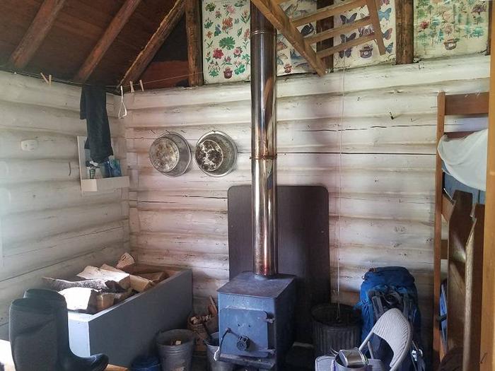
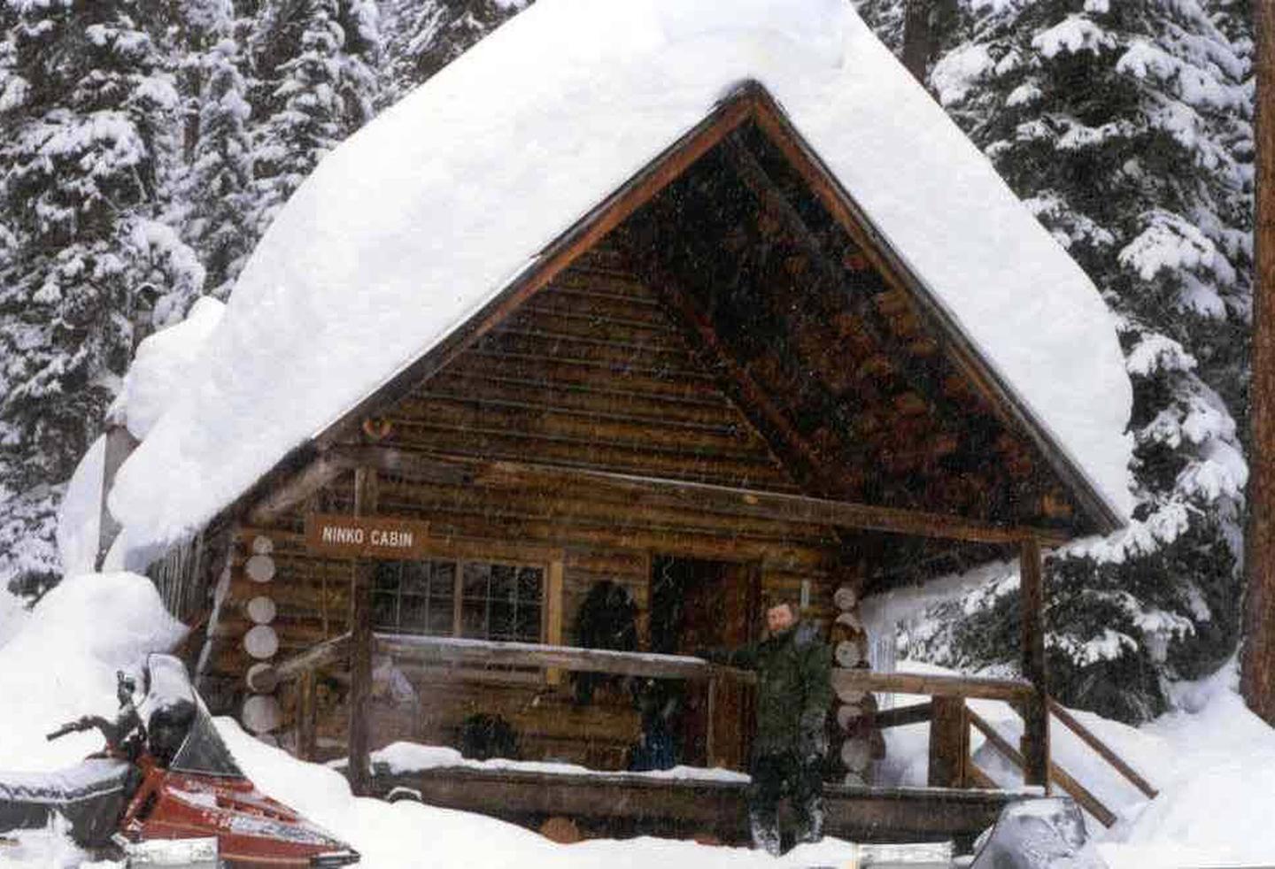
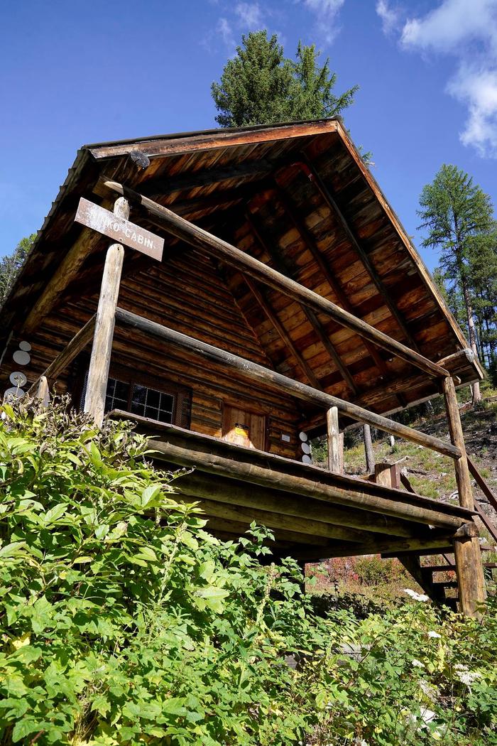
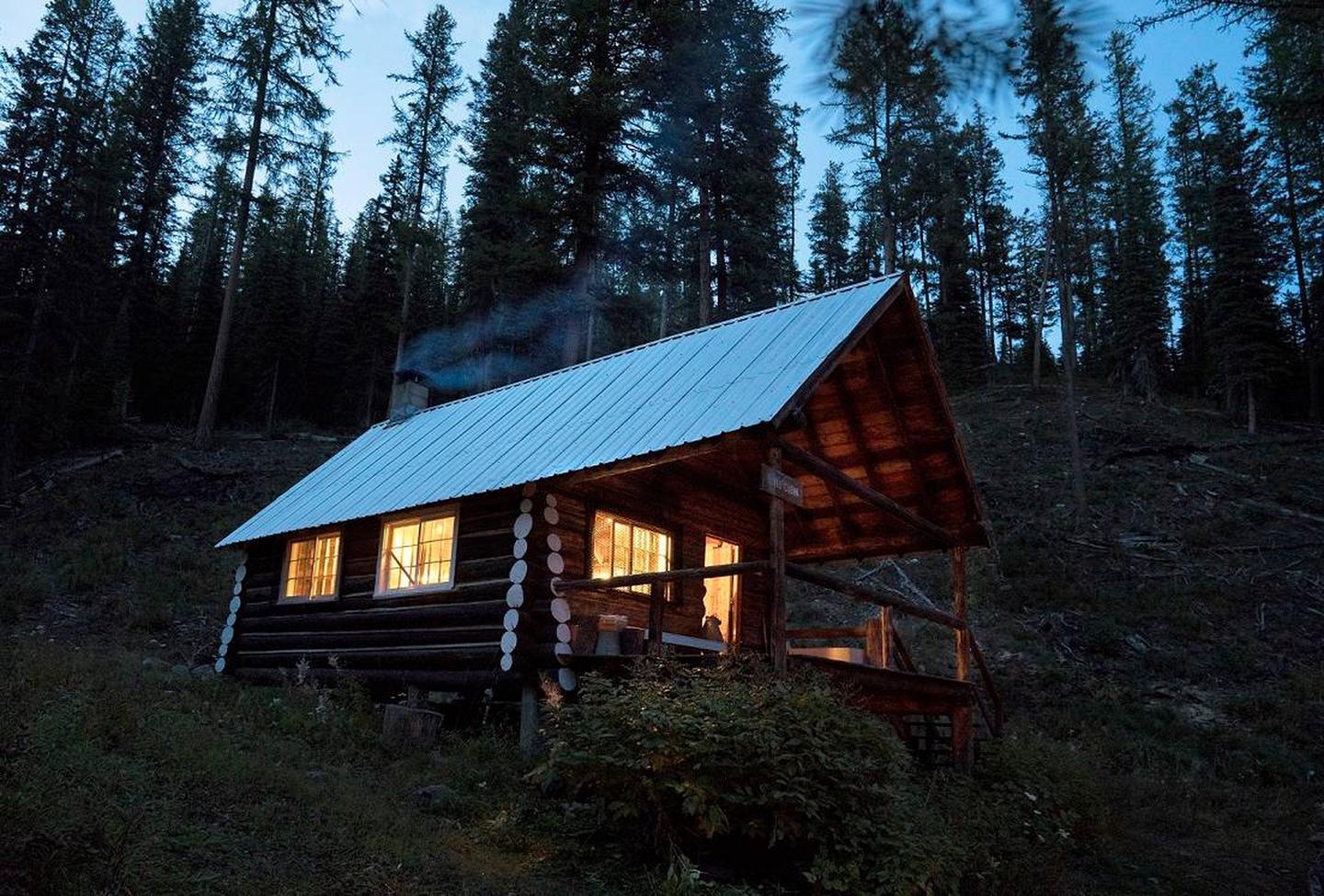
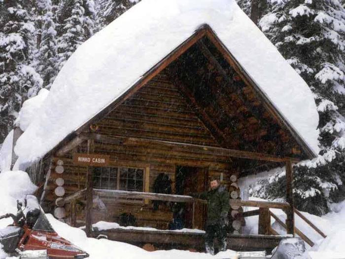
Ninko Cabin is located 45 miles north of Columbia Falls, in northwestern Montana. It is an ideal rental for winter sports enthusiasts. Open only during cold months, the cabin provides a rustic, cozy setting with a good chance for pristine snow-capped scenery. It also provides access to a variety of recreational activities.

The cabin can be accessed via a 12-mile hike, snowshoe, ski or snowmobile trek from North Fork Road. Guests are responsible for their own travel arrangements and safety, and must bring several of their own amenities.

Recreation

Cross country skiing, snowmobiling and snowshoeing are popular activities enjoyed by visitors to the area. Reaching the cabin on the 12-mile journey is part of the snow-sport fun to be had when visiting the cabin.

Facilities

The rustic cabin sleeps six with two bunk beds and two single beds. Amenities include a propane cook stove, lights, wood stove for heating, and a vault toilet. Pets are allowed, but cleaning up after them is required.

No water is available. Renters should pack their own bedding, drinking water, food, matches and all basic camp gear. Click here for more cabin details. Guests will need to clean the cabin, carry out all trash and replenish cut firewood supply prior to departure.

Natural Features

The cabin sits in a mountain valley, near Whale Creek, at an approximate elevation of 4,600 feet. Surrounding peaks include Hornet Mountain and Mount Thompson-Seton.

The Glacier View Ranger District is bordered on the east by the Middle Fork of the Flathead River and Glacier National Park. To the north is Canada and west is the Kootenai National Forest. A variety of wildlife make its home in the area.

Nearby Activities

  • Historic & cultural site
  • Camping
  • Hiking
  • Winter sports
  • Wildlife viewing

Gallery

Directions

From Columbia Falls, travel north on Nucleus Avenue and turn east on Railroad Street at the stop sign. The road becomes the North Fork Road as it travels about 45 miles and over the railroad overpass. Turn left on Whale Creek Road 318 and park in the plowed pullout. Then ski, snowshoe or snowmobile about 7 miles from the parking area to the gated road No. 10832. Continue northwest for about 2 miles to Ninko Cabin. Signs are posted along the way.

The North Fork Road is gravel, rough in spots and only intermittently plowed during the winter months. A four-wheel drive vehicle and chains are recommended for passage in winter.

GPS Coordinates

Latitude 48° 51′ 29.0002″ N

Longitude 114° 35′ 51.0000″ W

Categories
Uncategorized

ZIPS PLACE CABIN

Overview

Zip’s Place Cabin is located 48 miles east of Hungry Horse, in northwestern Montana. It provides a beautiful setting on property that was originally a homestead granted in 1937. In 1945 the land was bought by the Kimmet family of Cut Bank, and in 1954 the family constructed the cabin that resides there today. Visitors enjoy a variety of recreational activities, including hiking, biking, winter sports and viewing wildlife.

The cabin can be accessed by vehicle during the summer months. During the winter months or when the road conditions are impassable, guests must park at the designated parking area and hike, snowmobile, ski, or snowshoe approximately one mile to the cabin. Guests are responsible for their own travel arrangements and safety, and must bring several of their own amenities.

Recreation

Hiking and mountain biking are popular activities in warmer months. Cross country skiing, snowmobiling and snow shoeing entertain visitors in winter. Elk and moose are among the native animals that may be spotted in the area.

Facilities

The rustic cabin can accommodate up to eight guests. Amenities include a vault toilet, electric stove, refrigerator, microwave oven, lights, electric and propane heat, pots and pans, utensils and cutlery, dishes and cleaning items. Pets are allowed, but cleaning up after them is required.

Electricity is provided but water is only available from a well hand-pump June 1 to November 30. Guests should bring food, bedding and basic camp gear, including a first aid kit.

Natural Features

The cabin entrance faces a large grassy lawn area. The rear backs up to a stand of lodgepole pine and Douglas fir trees. A small stream runs behind the cabin.

The Hungry Horse Ranger District is bordered on the east by the Middle Fork of the Flathead River and Glacier National Park. It also covers part of the 286,700-acre Great Bear Wilderness.

Nearby Attractions

The town of Hungry Horse, located an hour away, offers a variety of conveniences like grocery stores and gas stations.

Nearby Activities

  • Boating
  • Camping
  • Fishing
  • Hiking
  • Winter sports
  • Wildlife viewing

Gallery

Directions

From Hungry Horse, travel east on U.S. Highway 2 for 48 miles, to mile marker 191. Travel south on Geifer Greek/Lodgepole Lane (a gravel road that veers left initially). Follow the signs to the cabin.

During the winter months or when the road conditions are impassable, renters must park at the designated parking area and hike, snowmobile, ski or snowshoe about a mile to the cabin. Please respect the adjacent property owners and do not block the driveway.

GPS Coordinates

Latitude 48° 15′ 43.9999″ N

Longitude 113° 24′ 54.0000″ W

Categories
Uncategorized

FORD CABIN

Overview

Ford Cabin offers a cozy, rustic getaway along the appropriately named Wild and Scenic North Fork of the Flathead River. It is about 45 miles north of Columbia Falls, in northwestern Montana. Visitors enjoy a variety of recreational activities, including fishing, viewing wildlife and exploring the area’s many trails.

The cabin is available from May 25 to March 15. It can be access by vehicle, however four-wheel drive and chains are recommended during the winter. Guests are responsible for their own travel arrangements and safety, and must bring several of their own amenities.

Recreation

Rainbow and cutthroat trout fishing is pleasant. In fact, the Flathead River is renowned for its excellent fly fishing. Visitors can hike and mountain bike on various trails and roads, or float in the river from the Canadian border to Polebridge on Class I to II rapids.

Facilities

The rustic log cabin has a small, covered front porch and a vault toilet nearby. It is equipped with a propane stove, lights, a heater and limited cooking and eating utensils. Furnishings include two bunk beds and one double bed, to accommodate up to six people.

Water from a hand-pump system, is only available from April to November. In winter, visitors must bring their own water. Other items to bring include food, bedding, flashlights, a first aid kit and other basic camping gear. Click here for more cabin details.

Natural Features

The cabin is perched on a grassy field beside a stand of pine trees and near the North Fork of the Flathead River and Tepee Creek.

The surrounding Glacier View Ranger District is bordered on the east by the Middle Fork of the Flathead River and Glacier National Park. To the north is Canada and west is the Kootenai National Forest. A variety of wildlife live in the area, including elk, moose and bears.

Nearby Attractions

Polebridge Mercantile offers limited supplies, and is about a half-hour’s drive from the cabin.

Nearby Activities

  • Boating
  • Historic & cultural site
  • Camping
  • Fishing
  • Hiking
  • Winter sports
  • Wildlife viewing

Gallery

Directions

From Columbia Falls, travel north on Nucleus Avenue until the road ends at the intersection of Railroad Street. Turn right (east) on Railroad Street. Continue on Railroad Street; it becomes the North Fork Road. Continue north on the North Fork Road for 45 miles. Turn right on Road 308 just north of the Tepee Creek crossing. Follow Road 308 back across Tepee Creek to Ford Cabin.

North Fork Road is gravel and rough in spots. It is only intermittently plowed during the winter months, requiring four-wheel drive or chains for travel.

GPS Coordinates

Latitude 48° 52′ 25.0000″ N

Longitude 114° 22′ 36.0001″ W

Categories
Uncategorized

SWAN GUARD STATION

Overview

Swan Guard Station is located next to beautiful Swan Lake, in northwestern Montana, where visitors enjoy all kinds of recreation. The fully restored historic cabin can accommodate up to eight people and offers somewhat modern amenities and plenty of space.

Guests are responsible for their own travel arrangements and safety, and must bring several of their own amenities.

Recreation

In addition to wildlife viewing, hiking and mountain biking trail access is nearby at Bond Creek Trailhead. Cross country skiing and snowshoeing are popular activities enjoyed by visitors during the winter.

The cabin is located just south of the town of Swan Lake, which offers opportunities for fishing, motor boating, non-motor boating, swimming and picnicking.

Facilities

The accessible cabin has beds and mattresses to accommodate up to eight people. It offers electricity, but no indoor plumbing. A propane heater provides heat in the living room.

A kitchen provides a refrigerator, sink, cooking range, and oven. It has ample cupboard space, as well as preparation and serving surfaces. A vault toilet and a hand-pump water system are available outside the cabin.

Guests will need to bring bedding, food, flashlights, a first aid kit and other necessary camping gear. The cabin will need to be cleaned and all trash carried out before leaving. Click here for more cabin details.

Natural Features

The cabin is the oldest building in the Flathead National Forest. It was constructed in 1909 as a remote ranger station and has since been fully restored and reconstructed. It is located at the south end of Swan Lake, near the village of Swan Lake.

The nearby Swan River Wildlife Refuge provides abundant bird and wildlife viewing opportunities.

Nearby Activities

  • Biking
  • Boating
  • Historic & cultural site
  • Camping
  • Fishing
  • Hiking
  • Winter sports
  • Wildlife viewing

Gallery

Directions

From Bigfork take Hwy 83 south towards Swan Lake. Continue through the town of Swan Lake to mile-marker 69, just south of town. The cabin driveway is just south of the cabin rental sign. Continue down the driveway to the cabin with the porch.

GPS Coordinates

Latitude 47° 54′ 33.9998″ N

Longitude 113° 50′ 7.0001″ W
Categories
Uncategorized

OLD CONDON RANGER STATION

Overview

Old Condon Ranger Station is open year-round, providing access to great recreation opportunities in every season. Visitors to the area enjoy fishing in the nearby Swan River, as well as hiking and exploring areas surrounding the cabin. Varieties of birds and wildlife make their home in the area.

The cabin provides modern amenities and can be reached by vehicle. Guests are responsible for their own travel arrangements and safety, and must bring some of their own supplies to ensure a comfortable stay.

Recreation

Guests at the house enjoy fishing in the nearby creek and river, as well as viewing wildlife. The facility affords scenic views of the Mission Mountains.

A variety of trails are available nearby for hiking and backpacking. The same trails serve as popular areas for cross country skiing and snowmobiling in the winter.

Facilities

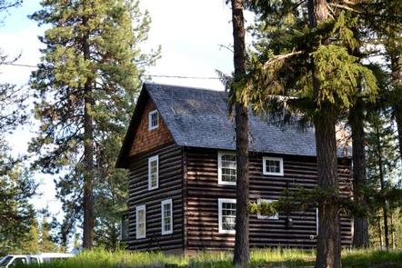
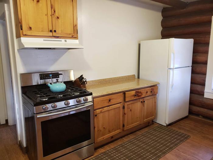
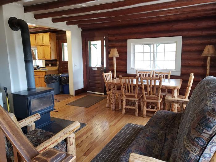
The two-story cabin greets guests with a screened porch and a green painted front door. It has a living and dining room with a propane furnace, as well as electricity and a full kitchen. The kitchen includes a refrigerator with freezer and a modern gas range and oven. Cabinets are stocked with basic cookware, plates, cups, bowls and utensils.

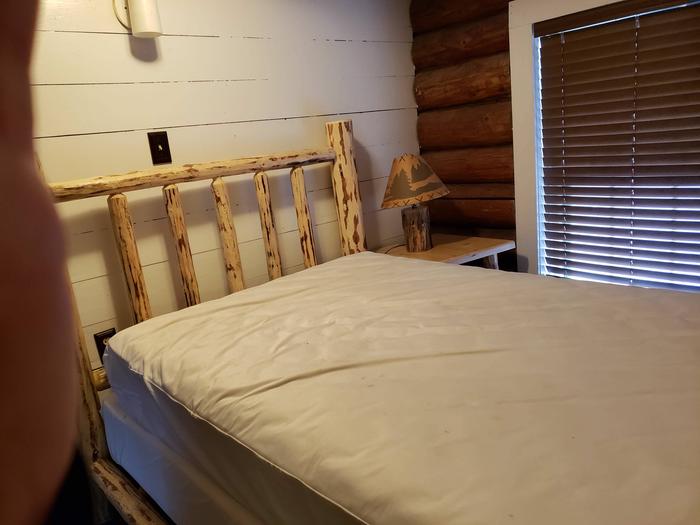
Upstairs are three bedrooms with a mix of two double and four single beds (two sets of bunkbeds). The couch in the living room also folds flat for use as a bed. Old Condon can comfortably sleep up to eight people. An indoor bathroom features running water and a flush toilet.
Guests should bring bedding, food and personal toiletries. Binoculars are recommended for bird and wildlife watching. Click here for more cabin details. Guests must clean the cabin and carry out all trash before leaving.

Natural Features

The cabin is nestled in Swan Valley just west of the Bob Marshall Wilderness. It sits about five miles east of the Swan River. From the front porch, guests can see views of the Mission Mountains across an open field. Behind the cabin is a stand of towering mixed pine trees and Simpson Creek flows nearby.

Part of a historic Forest Service compound, the ranger’s residence was constructed in the early 1920s and later restored for public use. Historically, the site was used year round to operate the Condon Ranger District, which has been renamed as the Swan Lake Ranger District. The work center was relocated in the 1960s, but some structures remain to remind visitors of the old Forest Service days.

Nearby Attractions

Limited supplies are sold at a general store in Condon, about 20 minutes from the cabin.

Nearby Activities

  • Historic & cultural site
  • Camping
  • Fishing
  • Hiking
  • Winter sports
  • Wildlife viewing

Gallery

Directions

Old Condon is located between milepost 46 and 47 on Highway 83, in northwestern Montana. Turn east onto Condon Loop Road 124 following the "Old Condon" arrow. Follow this road for approximately 1 mile. The driveway is on the right, just past a large open meadow. If you reach a bridge, you have gone too far.

GPS Coordinates

Latitude 47° 35′ 28.0000″ N

Longitude 113° 42′ 33.0001″ W
Categories
Uncategorized

SILVERTIP CABIN

Overview

The remote Silvertip Cabin serves as an ideal base for accessing various hiking and horseback riding trails to the Great Bear and Bob Marshall Wilderness areas. Located 70 miles south of the town of Hungry Horse, up to eight guests can enjoy the comforts of the cabin’s mattress-covered beds and warm up by the wood stove following various wilderness adventures.

The cabin is only available on weekends from early July until August, or sometimes the first weekend of September. Access requires up to a 4-mile hike or horseback ride to the cabin, depending on conditions and the time of year. Guests are responsible for their own travel arrangements and safety, and must bring several of their own amenities.

Recreation

From the cabin, several hiking and horseback riding trails lead into the two wilderness areas. Fishing, wildlife viewing and hunting are also popular activities.

Facilities

The log cabin can sleep up to eight people in six single beds and two cots. Amenities include a propane stove, propane lights, basic cooking utensils, a wood stove, a sink with running water, and an outdoor pit toilet. Equestrian campers are welcome to use the corral and hitching rail. There is a water valve above the stock tank to provide water for the horses.

No tables or campfire rings are available outside the cabin. Drinking water is available at the cabin. The water system is not filtered but can be treated or boiled prior to consumption. There is a bag water filter for cabin use hanging next to the sink.

Guests should bring water, food, bedding, towels, a first aid kit and all other basic camp gear. Click here for more cabin details. Guests must clean the cabin and carry out all trash before leaving.

Dogs are allowed.

Natural Features

The cabin is situated in a stand of mixed conifer trees, at an elevation of 4,400 feet. It lies a short walk from the Spotted River, on a stretch of Flathead National Forest land wedged between Great Bear Wilderness to the north and Bob Marshall Wilderness to the west. Peaks in the region include Sergeant Mountain and Whitcomb Peak.

Nearby Attractions

Silvertip is a long distance from any modern conveniences. Guests should expect to drive over two hours for gas and groceries.

Nearby Activities

  • Camping
  • Fishing
  • Hiking
  • Wildlife viewing

Gallery

Directions

From Hungry Horse, drive east on Highway 2 to Martin City, then south on Forest Road 38. Drive about 55 miles on a winding, gravel road, along Hungry Horse Reservoir. At the junction with Diamond R Guest Ranch, turn east on Forest Road 568 and travel approximately 15 miles. Park at the trailhead and hike or ride on Trail No. 228 for about a third of a mile, to the Spotted Bear River Trail 83. Go past trails 43 and 89. Silvertip Cabin is just south of the Trail 89 intersection.

If traveling in July or August, the trail requires a 1.5-mile hike to the cabin. If traveling in June or September, a gate will prohibit access on Forest Road 568 and the trek to the cabin may be up to 4 miles.

GPS Coordinates

Latitude 47° 55′ 31.6700″ N

Longitude 113° 17′ 10.2098″ W
Categories
Uncategorized

WHITETAIL CABIN

Overview

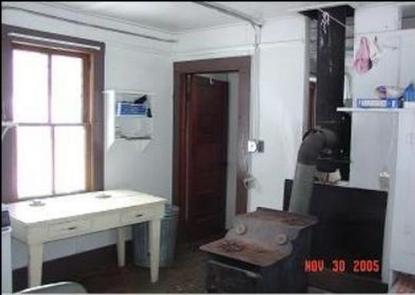
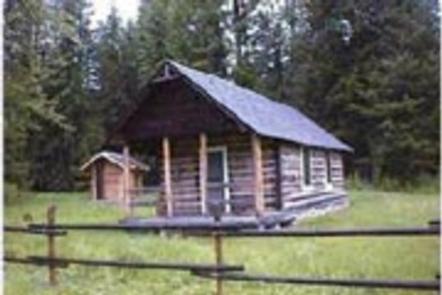
Whitetail Cabin sits at an altitude of 4,048 feet in the north end of the Custer National Forest approximately 20 miles from Ashland, Montana. The cabin was built in
the 1930s by the Civilian Conservation Corps. Formerly a ranger station, it is now a registered historic site.

The cabin is available year-round and is accessible by car, but guests should be prepared to hike about 100 yards to the cabin in winter, depending on road conditions. Some creature
comforts are provided, but guests will need to bring several of their own amenities.

Recreation

Hiking, mountain biking and horseback riding are popular options in the area. Horse facilities are provided at the cabin.

In winter, the landscape is ideal for cross-country skiing and snowshoeing.

The cabin is popular with hunters during elk, deer and turkey hunting seasons.

Facilities

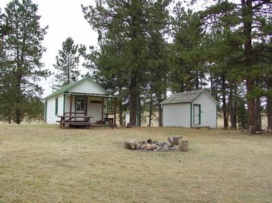
The 2-room cabin sleeps 4 and comes furnished with 2 sets of bunkbeds with mattresses, a table with 4 chairs, electric range, electric refrigerator, cleaning equipment
and some basic cooking and eating utensils. A wood burning stove is provided, along with a limited supply of firewood.

A picnic table and campfire ring are located in front of the cabin. An outhouse with pit toilet is located nearby. Horse facilities include a corral, 1
hitching rails and approximately 5 acres of fenced area to contain livestock. Seasonal spring water can be used for livestock consumption only, but guests should call the Ranger District to check water availability in advance.

No water is available at the cabin. Guests must bring their own supply of water for drinking, cooking and washing.

Items such as bedding, lanterns or flashlights, matches, extra toilet paper, first aid supplies, trash bags, dish soap, and towels are not available. Guests are
expected to pack out their trash and clean the cabin before leaving.

Natural Features

The cabin sits in an open area backed by a stand of ponderosa pine. It is located in the Ashland Ranger District, which features a landscape of ponderosa pines and steep rocky outcroppings.

Custer National Forest supports populations of bear, mule and whitetail deer, antelope, elk, cougar and bobcat
( bear precautions ). A variety of birds also inhabit the area.

Nearby Activities

  • Biking
  • Historic & cultural site
  • Camping
  • Hiking
  • Horseback riding
  • Hunting

Gallery

Directions

From Ashland, Montana, take Highway 212 east for approximately 5 miles to East Fork Otter Creek Road. Turn northeast onto East
Fork Otter Creek Road and travel 12 miles to Whitetail Cabin.

GPS Coordinates

Latitude 45° 38′ 25.0001″ N

Longitude 105° 58′ 34.0000″ W
Categories
Uncategorized

DIAMOND BUTTE LOOKOUT

Overview

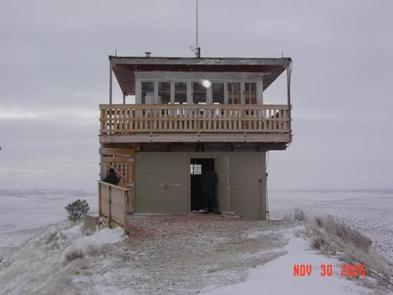
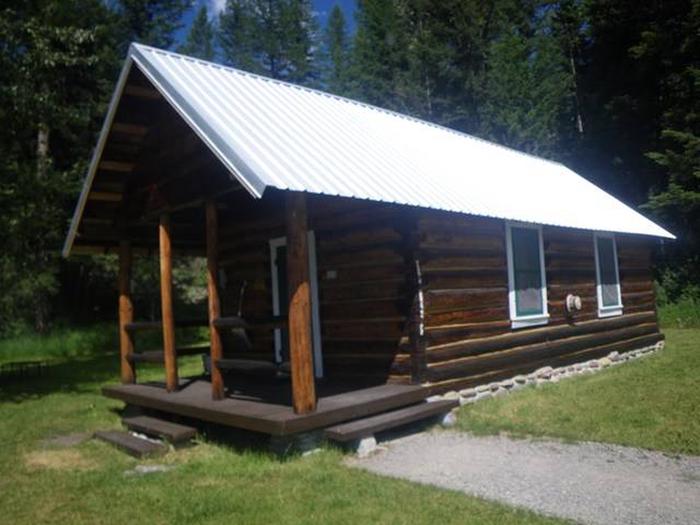
Diamond Butte Lookout is perched atop a 30-foot masonry tower on Diamond Butte at an altitude of 4,245 feet in the Custer National Forest approximately 40 miles from
Ashland, Montana. The lookout was moved from its original location of Yeager Butte in 1958 and was an active fire lookout until 2001.

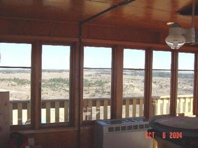
Guests can enjoy panoramic views of the surrounding mountains. This vantage point offers the chance to enjoy sunrises, sunsets and star gazing on clear nights.

The lookout is accessible by car, but it is a 200-foot walk up a steep hill to the lookout from the parking area. Guests should be prepared to bring most of their own supplies and
gear.

Recreation

You can enjoy hiking, horseback riding and mountain biking near the lookout. Opportunities are available to enjoy off-road vehicle riding and hunting.

Facilities

The lookout can accommodate 4 people and is furnished with a table, chairs and1 twin bed with mattress, a double futon with mattress and a cot. Propane appliances include a cook stove with an oven, lights and a heater. A few cooking and eating utensils are provided, along with a broom, mop and bucket.

Parking and an outhouse with a pit toilet are located at the gate 200 feet below the lookout. A wagon is stored in the lookout’s basement to help haul gear.

Water and electricity are not available. Guests must bring their own water for drinking, cooking and washing.

Items such as bedding, lanterns or flashlights, matches, extra toilet paper, first aid supplies, trash bags, dish soap, towels and an ice chest are not available. Guests are expected to pack out their trash and clean the cabin before leaving.

Natural Features

The lookout offers expansive views of the nearby hills and the distant Bighorn Mountains, which are about 100 miles away. Vegetation is sparse, but sagebrush and lupin thrive on the surrounding landscape.

Wildlife in the area includes fox, black bear, antelope and a variety of bird species ( bear safety ).

Nearby Activities

  • Biking
  • Camping
  • Hiking
  • Horseback riding
  • Hunting
  • Wildlife viewing

Gallery

Directions

From Ashland, Montana: travel east on State Highway 212 for approximately 3 miles. Turn south onto Otter Creek Road hwy 484 and travel 20 miles. Just past the Fort Howes Work Center, turn east onto Taylor Creek Road and travel 12 miles to Sonnette Divide Road. Turn north onto the Sonnette Divide Road for 2 miles then turn east on the Diamond Butte Lookout Road. Travel 1 mile to the lookout.

GPS Coordinates

Latitude 45° 14′ 57.0001″ N

Longitude 105° 55′ 57.0000″ W