Categories
Uncategorized

LONESOMEHURST CAMPGROUND

Overview

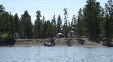
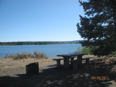
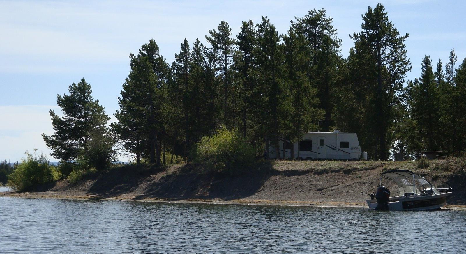
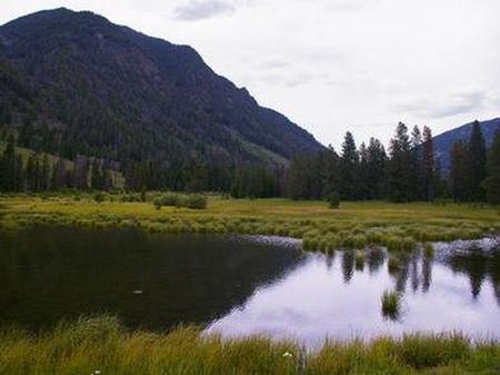
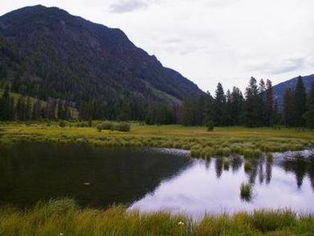
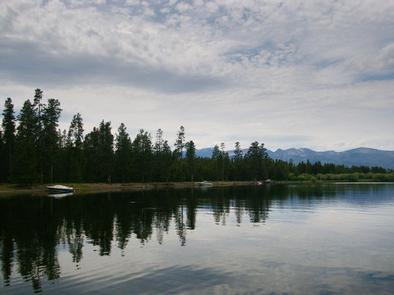
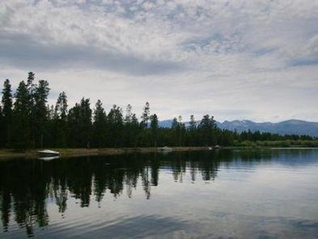
Lonesomehurst Campground is located on the banks of scenic Hebgen Lake, just 20 minutes from West Yellowstone, in southwestern Montana. Visitors enjoy the area for its boating, fishing and hiking opportunities, as well as its close proximity to Yellowstone National Park.

Recreation

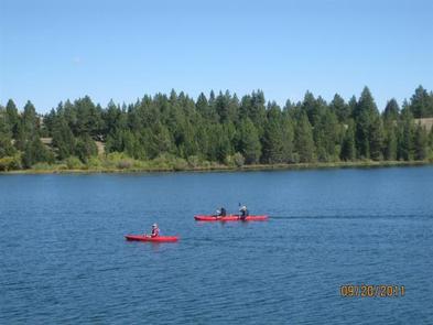
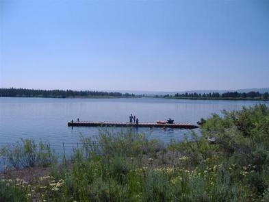
Hebgen Lake is considered Montana’s premier stillwater fishing lake. Anglers will find a healthy population of brown, cutthroat and rainbow trout. Boating and swimming are popular activities on the lake. A boat ramp is located within the campground.

Hiking, biking and off-road vehicle trails crisscross the surrounding area.

Facilities

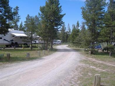
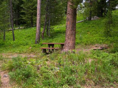
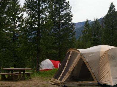
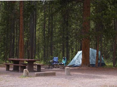
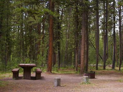
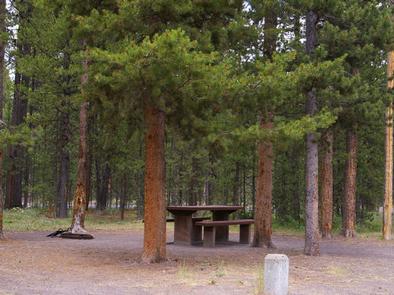
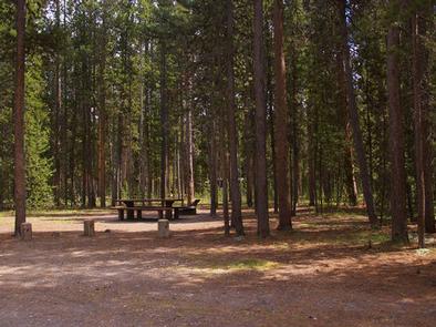
The campground offers several single-family sites. Four RV-compatible sites have electric hookups. Picnic tables and campfire rings are provided,as well as vault toilets and drinking water. Firewood is available for purchase from the campground host.

Natural Features

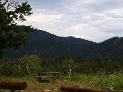
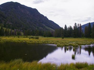
Hebgen Lake sits on the Madison River, at an elevation of 6,240 feet. The lake covers 21 square miles and has 65 miles of shoreline. Lonesomehurst is situated on the South Fork Arm of the lake, among lodgepole pines.

A variety of waterfowl is often spotted in the area, including Sandhill cranes, herons, Western grebes, white pelicans, osprey, Canada geese, mallards, wood ducks, loons and bald and golden eagles. Bison, deer and moose are frequently seen as well.

Nearby Attractions

West Yellowstone offers dining, shopping and lodging options. The Grizzly and Wolf Discovery Center is a popular attraction with live grizzlies, gray wolves and birds of prey, and a variety of exhibits and educational programs.

Yellowstone National Park offers unparalleled wildlife viewing opportunities, breathtaking scenery and unique geological features.

Nearby Activities

  • Biking
  • Boating
  • Camping
  • Fishing
  • Hiking
  • Wildlife viewing
  • Photography
  • Swimming
  • Kayaking
  • Canoeing
  • Berry picking
  • Star gazing
  • Birding
  • Water access
  • Backpacking

Gallery

Directions

From West Yellowstone, travel west on Highway 20 for eight miles, then continue four miles north on Hebgen Lake Road (Denny Creek Road).

GPS Coordinates

Latitude 44° 44′ 9.5600″ N

Longitude 111° 13′ 52.6800″ W

Categories
Uncategorized

BEAVER CREEK CAMPGROUND

Overview

Beaver Creek Campground is located near the Madison River and Earthquake Lake, less than 30 minutes from West Yellowstone and Yellowstone National Park. Visitors enjoy the area for its fishing, boating and hiking opportunities, as well as its close proximity to Yellowstone.

Recreation

Earthquake Lake offers fishing and canoeing and can be accessed via trails from within the campground, or less than a mile away on the highway. A visitor center is nearby, with interpretive displays, as well as information on the 1959 earthquake and subsequent landslide that formed the lake.

Hebgen Lake is considered Montana’s premier still-water fishing lake. Anglers will find a healthy population of brown, cutthroat and rainbow trout. Boating and swimming are popular activities on the lake.

The Cabin Creek Trail begins at nearby Cabin Creek Campground. This 6-mile trail is open to hikers and horseback riders.

Facilities

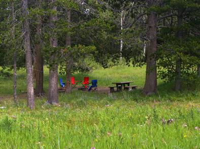
The campground offers several single-family sites, each equipped with a picnic table and campfire ring. Vault toilets, drinking water, food storage lockers and trash collection are provided.

Natural Features

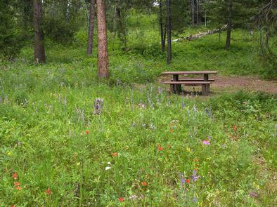
The campground is situated on a hillside above the Madison River and Earthquake Lake. Hebgen Lake is also nearby. A forest of pine, Douglas fir and aspen forest the campground. Plentiful grasses and summer wildflowers cover the forest floor.

Nearby Attractions

West Yellowstone offers dining, shopping and lodging options. The Grizzly and Wolf Discovery Center is a popular attraction, with live grizzlies, gray wolves and birds of prey, and a variety of educational exhibits and programs.

Yellowstone National Park offers unparalleled wildlife viewing opportunities, breathtaking scenery and unique geological features.

Nearby Activities

  • Biking
  • Camping
  • Fishing
  • Hiking
  • Wildlife viewing
  • Photography
  • Mountain biking
  • Star gazing
  • Birding
  • Backpacking
  • Mushroom picking

Gallery

Directions

From West Yellowstone, drive 8 miles north on Highway 191, then 16 miles west on Highway 287.

GPS Coordinates

Latitude 44° 51′ 41.0000″ N

Longitude 111° 22′ 22.0001″ W

Categories
Uncategorized

RAINBOW POINT CAMPGROUND

Overview

Rainbow Point Campground is located on the banks of scenic Hebgen Lake, in southwestern Montana. It is approximately 10 miles north of West Yellowstone and the West Entrance of Yellowstone National Park. Visitors enjoy the area for its boating, fishing and hiking opportunities, as well as its close proximity to Yellowstone.

Recreation

Hebgen Lake is considered Montana’s premier still-water fishing lake. Anglers will find a healthy population of brown, cutthroat and rainbow trout. Boating and swimming are popular activities on the lake. A boat ramp is located within the campground.

Hiking, biking and off-road vehicle trails crisscross the surrounding area.

Facilities

The campground offers several single-family campsites, many of which have electric hookups. Sites are equipped with a picnic table and campfire ring. Vault toilets and drinking water are provided. Firewood is available for purchase within the campground.

Natural Features

Hebgen Lake sits on the Madison River, at an elevation of 6,240 feet. The lake covers 21 square miles and has 65 miles of shoreline. Rainbow Point is situated on Rainbow Bay, among a dense forest of lodgepole pine.

A variety of waterfowl is often spotted in the area, including sandhill cranes, herons, Western grebes, white pelicans, osprey, Canada geese, mallards, wood ducks, loons and bald and golden eagles. Bison, deer and moose are frequently seen as well.

Nearby Attractions

West Yellowstone offers dining, shopping and lodging options. The Grizzly and Wolf Discovery Center is a popular attraction with live grizzlies, gray wolves and birds of prey, and a variety of educational exhibits and programs.

Yellowstone National Park offers unparalleled wildlife viewing opportunities, breathtaking scenery and unique geological features.

Nearby Activities

  • Biking
  • Boating
  • Camping
  • Fishing
  • Hiking
  • Wildlife viewing
  • Day use area
  • Photography
  • Swimming
  • Kayaking
  • Canoeing
  • Berry picking
  • Birding
  • Water access
  • Backpacking
  • Mushroom picking

Gallery

Directions

From West Yellowstone, travel 5 miles north on Highway 191. Turn west (left) onto Rainbow Point Road (Forest Road 6954) and travel 3 miles, then 2 miles north (right) on Rainbow Point Road, after the intersection.

GPS Coordinates

Latitude 44° 46′ 45.0001″ N

Longitude 111° 10′ 49.0001″ W

Categories
Uncategorized

Upper Big Bill Trailhead

Closed. Facilities removed. Delete record.

Directions

CLOSED

GPS Coordinates

Latitude 47° 56′ 43.9614″ N

Longitude 113° 23′ 44.9185″ W

Categories
Uncategorized

Glacier View Area

The Glacier View Area is located west of Glacier National Park and borders Canada to the north.  All trails can be accessed from the North Fork road #486.

Directions

GPS Coordinates

Latitude 0° 0′ 0.0000″ S

Longitude 0° 0′ 0.0000″ W

Categories
Uncategorized

Graves Creek

Graves Creek (also known as Graves Bay) Campground is located on the west shore of the Hungry Horse Reservoir off of Road 895.  There are 3 campsites, a vault toilet, and fishing access. 

Directions

GPS Coordinates

Latitude 48° 7′ 37.5996″ N

Longitude 113° 48′ 36.8388″ W

Categories
Uncategorized

ANNA CREEK CABIN

Overview

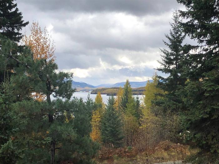
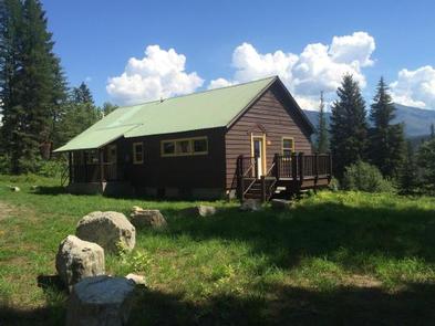
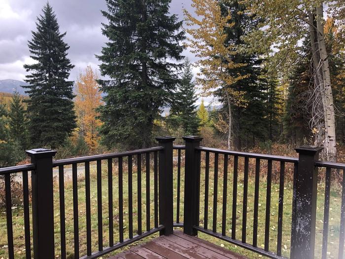
Anna Creek Cabin is located 30 miles south of the town of Hungry Horse, perched above Hungry Horse Reservoir with sweeping views of the reservoir and the Great Bear Wilderness. The cabin provides a private setting to enjoy the recreation opportunities along the west side of Hungry Horse Reservoir. Located half way down the reservoir, the cabin provides a delightful setting for viewing wildlife and enjoying the peaceful surrounding.

Recreation

The cabin location provides a base to explore the numerous recreation opportunities along the west side of Hungry Horse Reservoir. Visitors can access the water within a short drive to Graves Bay, Graves Creek or Handkerchief Lake for fishing, swimming or boating. Access to hiking trails along pioneer ridge or the east side of Jewel Basin are in close proximity to the cabin. Other popular activities such as driving for pleasure, berry picking, wildlife watching, and fishing are abundant in the area around the cabin.

Facilities

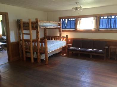
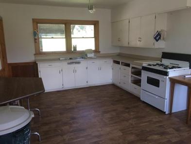
This single story cabin is equipped with a propane cook stove, heater, lights and accessible vault toilet. Indoor accommodations sleep up to 12 people on one double bed, two twin beds, two double/twin bunk beds, plus two twin roll out trundle beds. Outside, enjoy the campfire pit with barbecue grate and the deck on the south side of the cabin.

No drinking water or electricity are available. Guests should bring plenty of water, bedding, food, flashlights, basic camping gear, tools to gather outdoor firewood, among other necessities.

Natural Features

The cabin is set up above the West Side Hungry Horse Reservoir road providing privacy and scenic views. The west side of the cabin and large parking area backs up to the forest with Anna creek flowing through. The east side of the cabin offers open views of the Great Bear Wilderness. The site offers a nice mix of shade and sun.

Nearby Attractions

Water access to Hungry Horse Reservoir, Graves Creek and Handkerchief Lake are a short drive away.

Nearby Activities

  • Boating
  • Camping
  • Fishing
  • Hiking
  • Wildlife viewing

Gallery

Directions

Anna Creek Cabin is located 30 miles from Hungry Horse, MT on the West Side Hungry Horse Reservoir Road (895). From Hungry Horse, turn south on Road 895, cross the Hungry Horse Dam and continue 29 miles on the west side of Hungry Horse Reservoir to the cabin. The cabin is located on the west side of the road between mile marker 28 and 29, accessed via a short driveway. Be sure to close the gate behind you on your way up to the cabin.

GPS Coordinates

Latitude 48° 10′ 6.7001″ N

Longitude 113° 47′ 27.5600″ W

Categories
Uncategorized

Cedar Flats River Access

               The Cedar flats access site is located on the wild stretch of the South Fork of the Flathead River just outside the Wilderness boundary. It is less than a quarter mile hike down a steep trail from the parking area near milepost #11 on Forest Road #2826. There is a party size limit of 10 along this stretch until the river reaches the Spotted Bear Ranger Station suspension bridge. This section also is catch and release to preserve a premier fishery. For more information consult the South Fork River section in the Three forks of the Flathead River Guide in the quick links section. Directions to Cedar Flats are found below.

Directions

GPS Coordinates

Latitude 0° 0′ 0.0000″ S

Longitude 0° 0′ 0.0000″ W

Categories
Uncategorized

Swan River

The Swan River originates in the Mission Mountans and flows north between the Swan Range and the Mission Mountain Wilderness.

The Swan originates at Gray Wolf Lake in the Mission Mountains, at 6,650 feet above sea level. Fed partly by melt from the Gray Wolf Glacier, the river descends through a short and steep canyon to Lindbergh Lake, at the base of the Mission Mountains. From there the river flows briefly east before turning north, passing Condon, flowing about 75 miles to the northern end of the valley where it empties into Swan Lake. At the north end of the 10-mile long lake, the river emerges into the Flathead Valley, where it turns abruptly west through a canyon, emptying into Flathead Lake at the town of Bigfork. Via Flathead Lake, it eventually drains to the Flathead River, a major tributary in the Columbia River system.

The river is fed by many tributaries descending from the mountains along both sides of its valley. On the west side, streams draining the Mission Mountains into the Swan River include Glacier, Elk, Cold, Jim, Piper, Woodward, Whitetail, and Porcupine Creeks. Eastern tributaries, flowing off the Swan Range, include Holland, Smith, Alder, Lion, Goat, Soup, and Lost Creeks. Below Swan Lake, the river is also joined by Bear and Mud Creeks from the east.

Montana Highway 83 roughly parallels the river from the Bigfork area to near Lindbergh Lake.

Directions

GPS Coordinates

Latitude 0° 0′ 0.0000″ S

Longitude 0° 0′ 0.0000″ W

Categories
Uncategorized

Youngs Danaher Backcountry Access

The most popular place to start a backcountry South Fork float trip is at the confluence of the Young’s and Danaher rivers. The best way to access the confluence is from the Owl Creek trailhead in the Swan Valley or the Lodgepole trailhead out of Ovando, Mt. The Owl Creek trailhead is located on Hwy 83 approximately 15 miles south of the town of Condon, it is a 29 mile trip on foot or horseback to reach the confluence. The Lodgepole trailhead is approximately 12 miles north of the town of Ovando, Mt. off of Hwy 200, it is a 22 mile trip on foot or horseback. The takeout for float trips on the Upper South Fork is the Mid Creek takeout about 38 miles from the confluence. The entirety of this section of river is within the wilderness boundary so wilderness rules apply, please consult the South Fork section of the Three Forks of the Flathead River Guide in the quick links section.

Directions

GPS Coordinates

Latitude 47° 26′ 43.6596″ N

Longitude 113° 11′ 1.2480″ W