Categories
Uncategorized

SPIRE ROCK CAMPGROUND

Overview

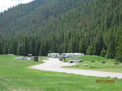
Spire Rock Campground is located in scenic Gallatin Canyon on the Bozeman Ranger District of the Gallatin National Forest, in southwestern Montana. It is 26 miles south of Bozeman.

The surrounding area offers many outdoor recreational opportunities, including fishing, rafting, hiking and viewing local wildlife.

Recreation

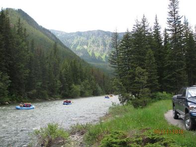
Great opportunities for hiking, fishing, scenic driving and wildlife viewing are available around the campground. Anglers cast for rainbow, brown, brook and cutthroat trout, whitefish and Arctic grayling on the Gallatin River. Rafting and kayaking are popular activities as well.

The popular Storm Castle Trail begins nearby. This steep, 3-mile one-way trail climbs to Storm Castle Rock, with excellent views of the canyon below. Garnet Mountain Lookout Trail also begins near the campground. The 3.5-mile trail climbs 2,800 feet in elevation, to the lookout.

Facilities

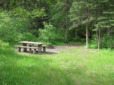
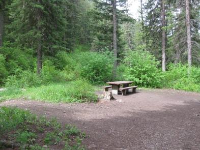
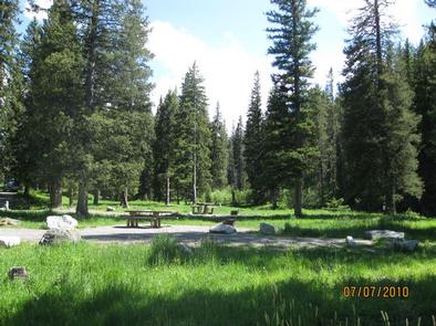
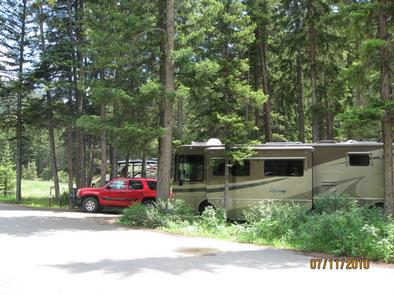
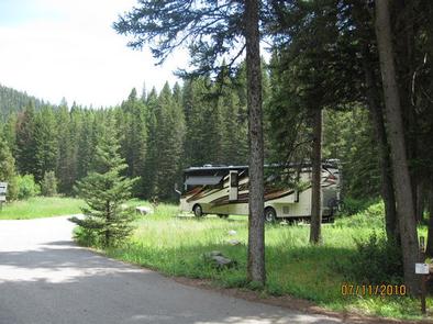
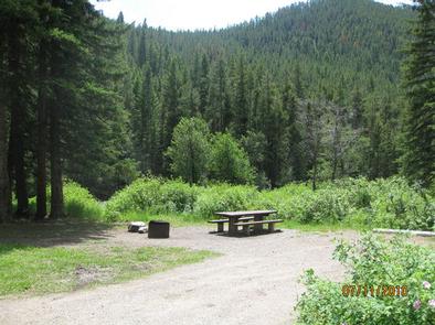
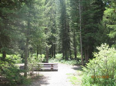
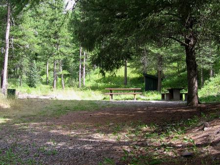
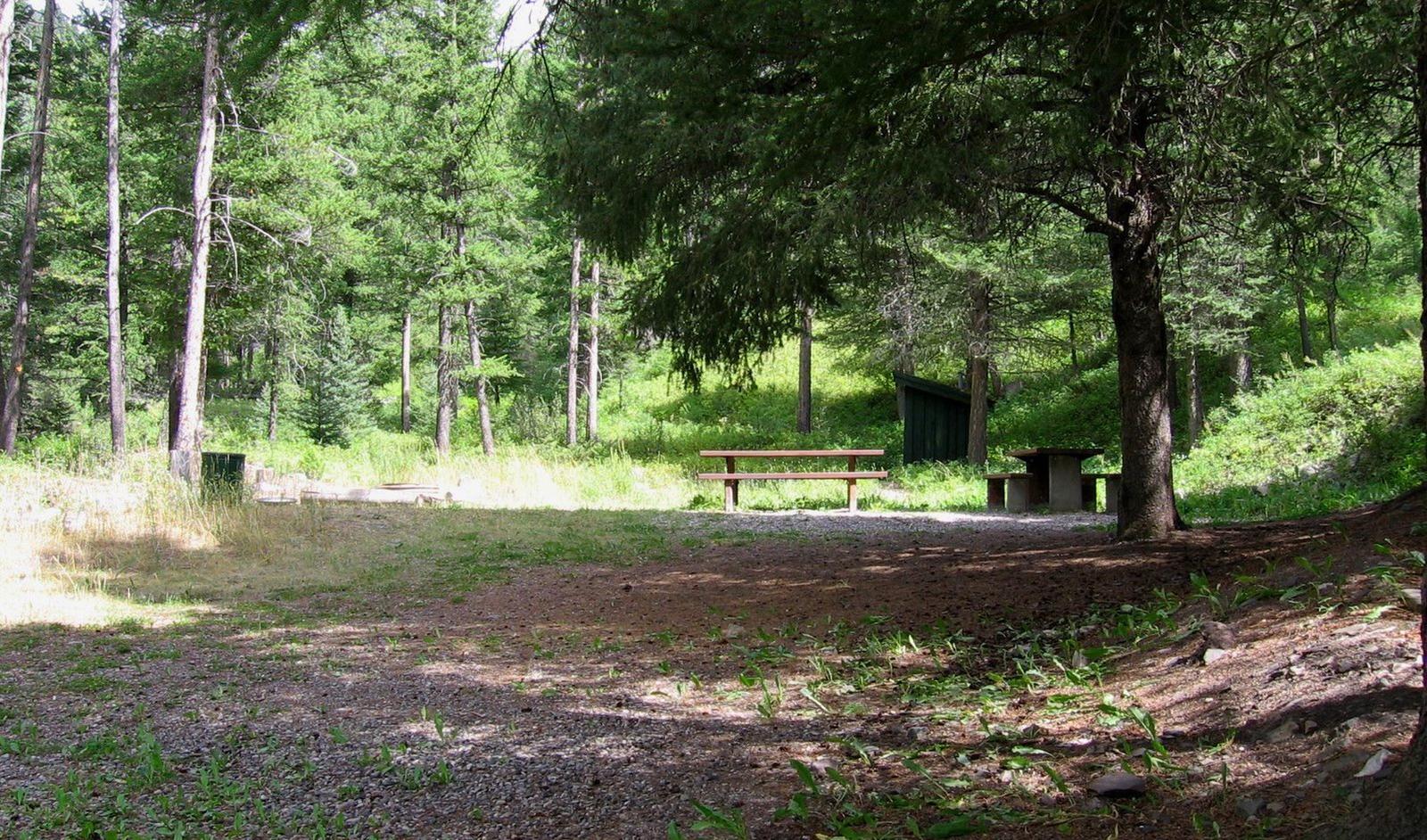
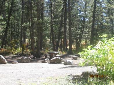
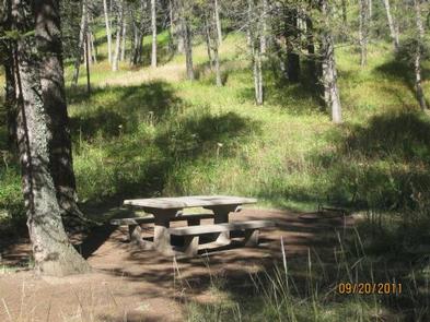
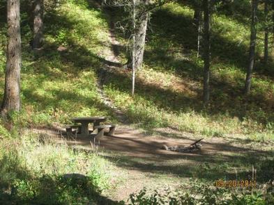
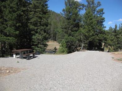
The campground offers single-family campsites, an overnight, GROUP CAMPING AREA (SITE 2), and another GROUP AREA (SITE 12), that can be used for overnight camping or day-use picnicking. Picnic tables and campfire rings are provided, as are vault toilets.

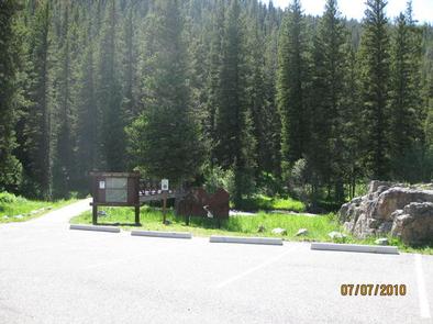
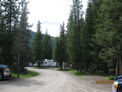
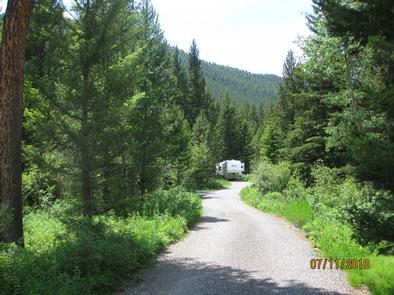
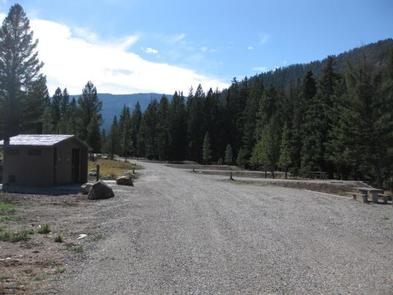
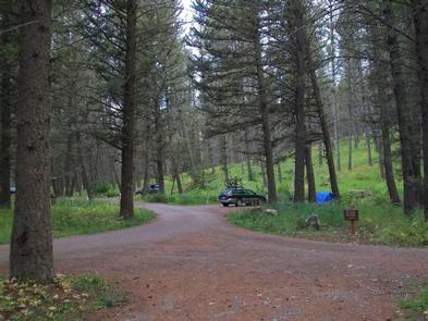
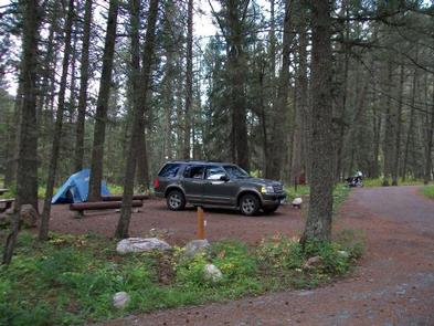
No drinking water is available in the campground. Campers must bring their own water. Roads and parking spurs within the campground are gravel.

Natural Features

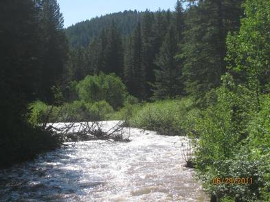
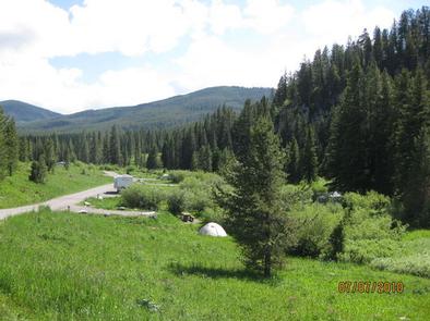
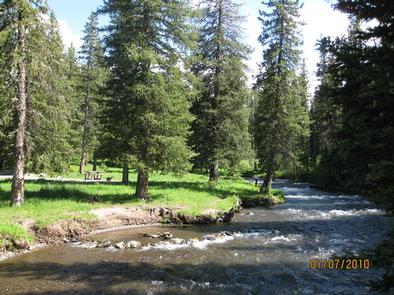
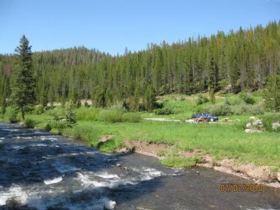
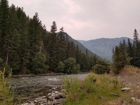
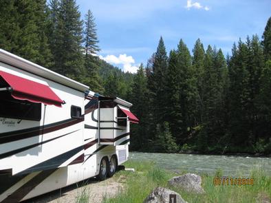
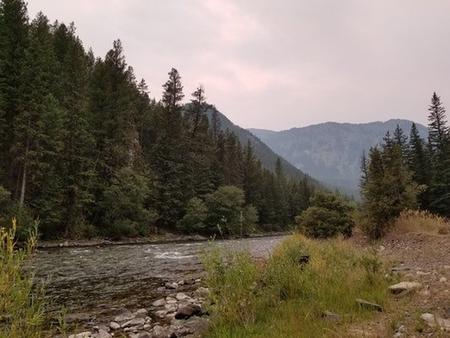
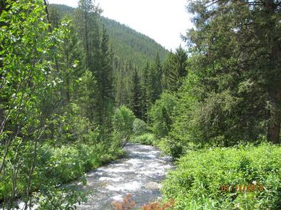
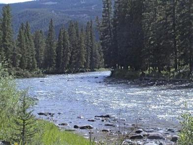
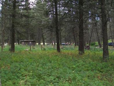
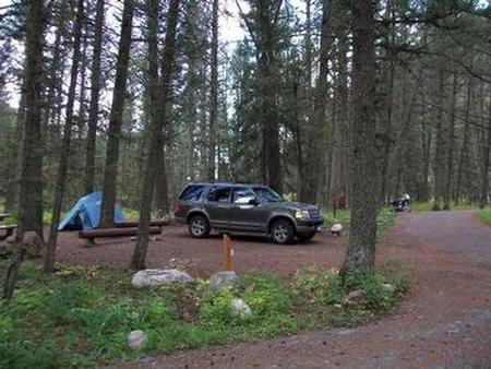
The campground sits next to Storm Castle Creek, a tributary of the Gallatin River, at an elevation of 5,600 feet. Most campsites are located along the creek and are surrounded by spruce and fir trees.

A variety of wildlife makes its home in the area. Visitors can often glimpse bald eagles, bighorn sheep, moose, elk, mountain goats, deer and coyotes. Black bears and grizzly bears also live in the canyon.

Nearby Activities

  • Biking
  • Camping
  • Fishing
  • Hiking
  • Wildlife viewing
  • Photography
  • Mountain biking
  • Berry picking
  • Star gazing
  • Birding
  • Backpacking
  • Mushroom picking

Gallery

Directions

From Bozeman, travel south on Highway 191 for 23 miles to the Storm Castle turnoff. Turn left and go 3 miles to the campground. The last 3 miles are on a gravel road.

From West Yellowstone, go 66 miles north on Highway 191 to the Storm Castle turnoff. Turn right at the intersection after the bridge and continue 3 miles to the campground.

GPS Coordinates

Latitude 45° 26′ 29.0000″ N

Longitude 111° 12′ 23.0000″ W

Categories
Uncategorized

LANGOHR CAMPGROUND

Overview

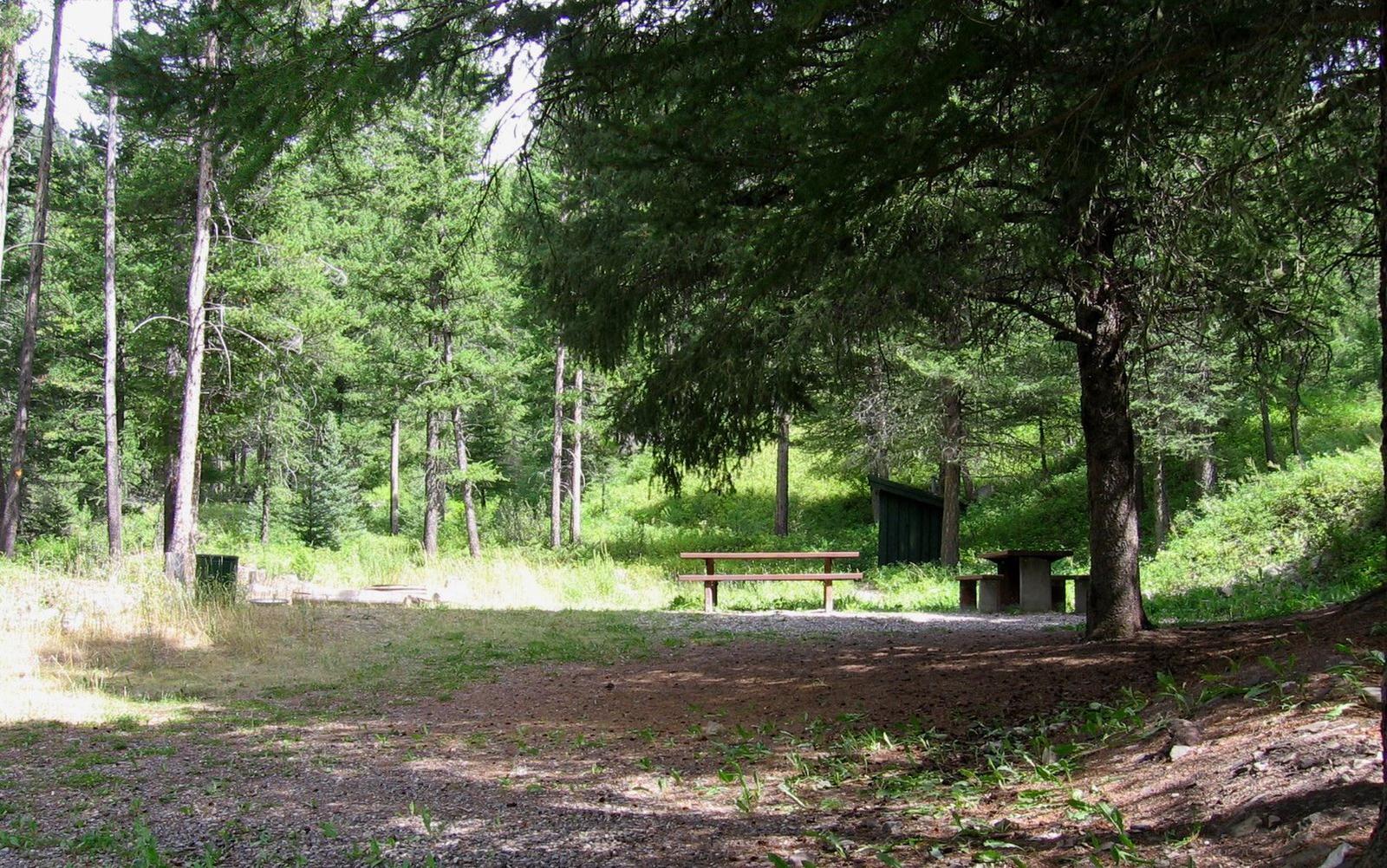
Langohr Campground is located in scenic Hyalite Canyon on the Bozeman Ranger District of the Gallatin National Forest. It is located just 12 miles south of Bozeman, Mont.

The surrounding area offers many outdoor recreational opportunities, including fishing, hiking and climbing.

Recreation

Hyalite Creek provides great fishing for Yellowstone cutthroat, Arctic grayling and brook trout. Many hiking trails can be found in Hyalite Canyon.

Facilities

The campground offers several single-family campsites. A GROUP PICNIC AREA (SITE 20) for DAY USE ONLY is also available and can accommodate up to 50 people. Tables and campfire rings are provided, as are vault toilets, drinking water and trash collection.

Natural Features

The campground sits next to Hyalite Creek, at an elevation of 6,200 feet. Most campsites are situated in open meadows along the creek. Some are located among scattered pine and fir trees.

Nearby Attractions

Hyalite Reservoir is just 3.5 miles from the campground. The scenic 206-acre lake offers many recreational activities, including boating, canoeing, fishing, hiking, climbing and picnicking.

The popular Hyalite Peak Trail begins near the reservoir. The 7.5-mile one-way trail gains 3,450 feet in elevation as is climbs past numerous waterfalls to beautiful Hyalite Lake and Peak.

Nearby Activities

  • Biking
  • Camping
  • Fishing
  • Hiking
  • Wildlife viewing
  • Photography
  • Mountain biking
  • Star gazing
  • Birding
  • Water access
  • Backpacking

Gallery

Directions

From Main Street in Bozeman, travel south along 19th Avenue for 7 miles, to the paved Hyalite Canyon Road. Turn left and continue south for about 5 miles, to the campground.

GPS Coordinates

Latitude 45° 32′ 1.0000″ N

Longitude 111° 0′ 54.0000″ W
Categories
Uncategorized

HOOD CREEK CAMPGROUND

Overview

Hood Creek Campground is located next to scenic Hyalite Reservoir, on the Bozeman Ranger District of the Gallatin National Forest. It is 17 miles south of the city of Bozeman, Mont.

The surrounding area offers many outdoor recreational opportunities, including boating, canoeing, fishing, hiking and climbing.

Recreation

Hyalite Reservoir offers many recreational activities, including boating, canoeing and fishing. Anglers fish for Yellowstone cutthroat, Arctic grayling and brook trout. Hyalite Creek offers fishing as well.

Many hiking trails are found in Hyalite Canyon, including the popular Hyalite Peak Trail. This 7.5-mile one-way trail gains 3,450 feet in elevation as is climbs past numerous waterfalls to the beautiful Hyalite Lake and Hyalite Peak.

Facilities

The campground offers sites for both overnight camping and day-use picnicking. A GROUP AREA (SITE 28) for overnight camping is also available for reservation, and can accommodate up to 80 people.

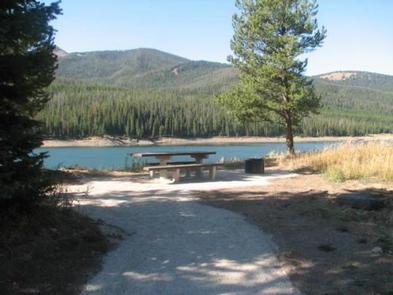
Picnic tables and campfire rings are provided, as are vault toilets, drinking water and trash collection. A boat ramp is located on-site. Roads and parking spurs within the campground are gravel. Firewood is available for $6.00 per bundle.

Natural Features

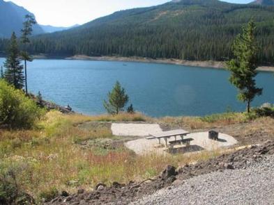
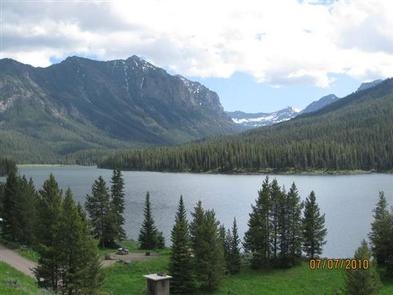
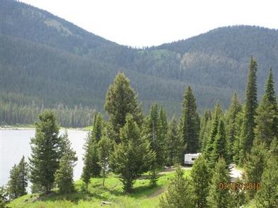
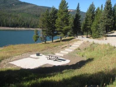
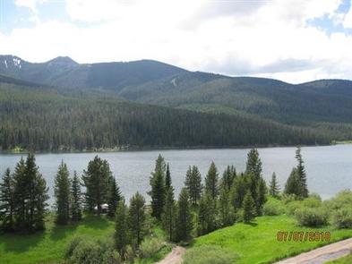
The campground is situated on the banks of scenic Hyalite Reservoir, at an elevation of 6,700 feet. Some campsites lie in open meadows along the shoreline, while others are located among scattered pine and fir trees.

Nearby Activities

  • Biking
  • Boating
  • Camping
  • Fishing
  • Hiking
  • Picnicking
  • Wildlife viewing
  • Day use area
  • Photography
  • Swimming
  • Mountain biking
  • Off road vehicle trails
  • Kayaking
  • Canoeing
  • Berry picking
  • Star gazing
  • Birding
  • Water access
  • Backpacking
  • Mushroom picking

Gallery

Directions

From Main Street in Bozeman, travel south on 19th Avenue for 7 miles, to the paved Hyalite Canyon Road. Turn left and continue 10 miles to the campground.

GPS Coordinates

Latitude 45° 29′ 6.0000″ N

Longitude 110° 58′ 4.0001″ W

Categories
Uncategorized

GREEK CREEK CAMPGROUND

Overview

Greek Creek Campground is located in scenic Gallatin Canyon, in the Bozeman Ranger District of the Gallatin National Forest. It is 30 miles south of the city of Bozeman, Montana.

The surrounding area offers many outdoor recreational opportunities, including fishing, rafting, hiking and viewing local wildlife.

Recreation

Great opportunities for hiking, fishing, scenic driving and wildlife viewing are available around the campground. Anglers cast for rainbow, brown, brook and cutthroat trout, whitefish and Arctic grayling on the Gallatin River. Rafting and kayaking are popular activities as well.

Many trails can be found in Gallatin Canyon. The Swan Creek Trail begins at nearby Swan Creek Campground. Golden Trout Lakes Trail begins near the Portal Creek Road, about six miles south of the campground.

Facilities

The campground offers single-family campsites, each equipped with a picnic table and campfire ring. Vault toilets, drinking water and trash collection are provided. Roads within the campground are paved, while parking spurs are gravel. Firewood available for $6.00 per bundle.

Natural Features

The campground sits just off Highway 191 at an elevation of 5,600 feet. A beautiful forest of spruce, fir and cottonwood trees covers most of the campground.

A variety of wildlife makes its home in this scenic canyon. Visitors can often glimpse bald eagles, bighorn sheep, moose, elk, mountain goats, deer and coyote. Black and grizzly bears also live in the canyon.

Nearby Activities

  • Camping
  • Fishing
  • Wildlife viewing
  • Photography
  • Kayaking
  • Star gazing
  • Birding
  • Water access
  • Rafting

Gallery

Directions

From Bozeman, travel south on Highway 191 for 30 miles, to the campground. From West Yellowstone, travel north on Highway 191 for about 59 miles.

GPS Coordinates

Latitude 45° 22′ 50.0002″ N

Longitude 111° 10′ 54.0001″ W

Categories
Uncategorized

CHISHOLM CAMPGROUND

Overview

Chisholm Campground is located next to scenic Hyalite Reservoir in the Bozeman Ranger District of the Gallatin National Forest, 18 miles south of Bozeman, Montana.

The surrounding area offers many outdoor recreational opportunities, including boating, canoeing, fishing, hiking and climbing.

Recreation

Hyalite Reservoir offers many recreational activities, including boating, canoeing and fishing opportunities. Anglers fish for Yellowstone cutthroat, Arctic grayling and brook trout. Hyalite Creek and the East Fork offer fishing as well.

Many hiking trails are found in Hyalite Canyon, including the popular Hyalite Peak Trail. This 7.5-mile one-way trail gains 3,450 feet in elevation as it climbs past numerous waterfalls, to beautiful Hyalite Lake and Peak.

Facilities

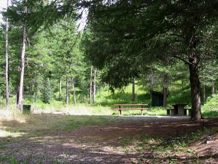
This fully accessible campground offers single-family campsites, each equipped with a picnic table and campfire ring. Vault toilets, drinking water and trash collection are provided. Roads and parking spurs are gravel. A boat ramp is located 1 mile away at Hood Creek Campground. Firewood is available for $6.00 per bundle at Hyalite Youth Camp.

Natural Features

The campground is situated in a forest of pine and fir trees, next to Hyalite Reservoir, at an elevation of 6,700 feet. The East Fork Hyalite Creek runs alongside the north side of the campground.

Nearby Activities

  • Biking
  • Camping
  • Fishing
  • Hiking
  • Wildlife viewing
  • Photography
  • Swimming
  • Mountain biking
  • Off road vehicle trails
  • Kayaking
  • Canoeing
  • Berry picking
  • Star gazing
  • Birding
  • Water access
  • Mushroom picking

Gallery

Directions

From Main Street in Bozeman, take 19th Avenue south for 7 miles to the paved Hyalite Canyon Road. Turn left and continue south for 11 miles to the campground. The last mile of road is gravel.

GPS Coordinates

Latitude 45° 28′ 28.9999″ N

Longitude 110° 57′ 22.0000″ W
Categories
Uncategorized

SWAN CREEK CAMPGROUND

Overview

Swan Creek Campground is located in the scenic Gallatin Canyon, on the Bozeman Ranger District of the Gallatin National Forest, in southwestern Montana. It is 31 miles south of Bozeman.

The surrounding area offers many outdoor recreational opportunities, including fishing, rafting, hiking and viewing local wildlife.

Recreation

Great opportunities for hiking, fishing, scenic driving and wildlife viewing are available in the area surrounding the campground. Anglers cast for rainbow, brown, brook and cutthroat trout, whitefish and Arctic grayling on the Gallatin River. Rafting and kayaking are popular activities as well.

Many trails can be found in Gallatin Canyon. The Swan Creek Trail begins within the campground. Golden Trout Lakes Trail begins up nearby Portal Creek Road, five miles south of the campground.

Facilities

The campground offers single-family campsites. Vault toilets, drinking water and trash collection are provided. Roads within the campground are paved, but parking spurs are gravel. Firewood is available at Greek Creek Campground for $6.00 per bundle.

Natural Features

The campground sits next to scenic Swan Creek, a tributary of the Gallatin River. It is just off Highway 191, at an elevation of 5,800 feet. A beautiful, dense forest of spruce and fir trees covers the campground.

A variety of wildlife makes its home in this scenic canyon. Visitors can often glimpse bald eagles, bighorn sheep, moose, elk, mountain goats, deer and coyotes. Black bears and grizzly bears also live in the canyon.

Nearby Activities

  • Camping
  • Fishing
  • Hiking
  • Wildlife viewing
  • Photography
  • Berry picking
  • Star gazing
  • Birding
  • Water access
  • Mushroom picking

Gallery

Directions

From Bozeman, travel south on Highway 191 for 30 miles to the Swan Creek turnoff. Turn left and go a half-mile to the campground.

From West Yellowstone, travel 58 miles north on Highway 191. Turn right at Swan Creek turnoff and go a half-mile to the campground.

GPS Coordinates

Latitude 45° 22′ 21.0000″ N

Longitude 111° 10′ 5.0002″ W

Categories
Uncategorized

MOOSE CREEK FLAT CAMPGROUND

Overview

Moose Creek Flat Campground is located in scenic Gallatin Canyon on the Bozeman Ranger District of the Gallatin National Forest, in Montana. It is 32 miles south of Bozeman.

The surrounding area offers many outdoor recreational opportunities, including fishing, rafting, hiking and viewing local wildlife.

Recreation

The surrounding area provides great opportunities for hiking, fishing, scenic driving and wildlife viewing. Anglers cast for rainbow, brown, brook and cutthroat trout, whitefish and Arctic grayling on the Gallatin River. An accessible fishing dock is located at the river’s edge. Rafting and kayaking are popular activities as well.

Many trails can be found in Gallatin Canyon. The Swan Creek Trail begins at nearby Swan Creek Campground. Golden Trout Lakes Trail begins about 15 minutes away up Portal Creek Road, three miles south of the campground.

Facilities

This fully accessible campground offers several single-family campsites, each equipped with a picnic table and campfire ring. A GROUP PICNIC AREA (SITE 14) for DAY USE ONLY equipped with 3 standard size picnic tables is also available and can accommodate up to 50 people.

Vault toilets, drinking water and trash collection are provided. Roads within the campground are paved, but the parking spurs are gravel.

Natural Features

The campground sits next to the Gallatin River near Moose Creek, just off Highway 191, at an elevation of 5,700 feet. A forest of pine and fir trees covers the surrounding mountainsides, but the campground itself lies in an open meadow.

A variety of wildlife makes its home in this scenic canyon. Visitors can often catch a glimpse of bald eagles, bighorn sheep, moose, elk, mountain goats, deer and coyotes. Black and grizzly bears also live in the canyon.

Nearby Activities

  • Camping
  • Fishing
  • Wildlife viewing
  • Day use area
  • Photography
  • Kayaking
  • Star gazing
  • Birding
  • Water access
  • Rafting

Gallery

Directions

From Bozeman, take Highway 191 south for 32 miles. From West Yellowstone, take Highway 191 north 57 miles. The campground is on the west side of the highway.

GPS Coordinates

Latitude 45° 21′ 24.0001″ N

Longitude 111° 10′ 17.0000″ W
Categories
Uncategorized

MOOSE CREEK GROUP SITE

Overview

Moose Creek Group Site is located in the scenic Gallatin Canyon on the Bozeman Ranger District of the Gallatin National Forest of Montana. It is 32 miles south of Bozeman.

The surrounding area offers many outdoor recreational opportunities, including fishing, rafting, hiking and viewing local wildlife.

Recreation

Great opportunities for hiking, fishing, scenic driving and wildlife viewing are available around the campground. Anglers cast for rainbow, brown, brook and cutthroat trout, whitefish and Arctic grayling on the Gallatin River. Rafting and kayaking are popular activities as well.

Many trails can be found in Gallatin Canyon. The Swan Creek Trail begins at nearby Swan Creek Campground. Golden Trout Lakes Trail begins about 15 minutes away up Portal Creek Road, three miles south of the campground.

Facilities

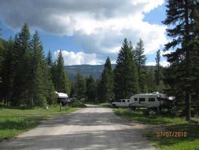
Moose Creek is available for group picnicking or camping and can accommodate up to 90 people. Picnic tables and campfire rings are provided, as are vault toilets. Drinking water and trash collection are not available at the campground.

Natural Features

The group site sits next to the Gallatin River and Moose Creek, just off Highway 191, at an elevation of 5,700 feet. The site is partly surrounded by pine and fir trees.

A variety of wildlife makes its home in this scenic canyon. Visitors can often glimpse bald eagles, bighorn sheep, moose, elk, mountain goats, deer and coyotes. Black and grizzly bears also live in the canyon.

Nearby Activities

  • Camping
  • Wildlife viewing
  • Photography

Gallery

Directions

From Bozeman, travel south on Highway 191 for 32 miles to the turnoff, a quarter-mile south of the main Moose Creek Flat Campground. Turn left onto a gravel road that leads 200 yards to the group site.

From West Yellowstone, take Highway 191 north for 57 miles. The group area is on the east side of the highway across from the campground.

GPS Coordinates

Latitude 45° 21′ 5.0000″ N

Longitude 111° 10′ 17.0000″ W
Categories
Uncategorized

RED CLIFF CAMPGROUND

Overview

Red Cliff Campground is located in the scenic Gallatin Canyon, on the Bozeman Ranger District of the Gallatin National Forest, in Montana. Bozeman is 46 miles north of the campground and West Yellowstone is 45 miles south. The campground is adjacent to the Gallatin River and Highway 191.

The surrounding area offers many outdoor recreational opportunities, including fishing, rafting, hiking and viewing local wildlife.

Recreation

Great opportunities for hiking, fishing, scenic driving and wildlife viewing are available around the campground. Anglers cast for rainbow, brown, brook and cutthroat trout, whitefish and Arctic grayling on the Gallatin River. Rafting and kayaking are popular activities as well.

The Elkhorn Creek Trail, for hiking and horseback riding, begins at the south end of the campground.

Facilities

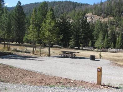
The campground offers single-family campsites, with and without electric hookups. Several sites are also accessible. A day-use group picnic area is available on-site as well, and can accommodate up to 60 people. Vault toilets and drinking water are provided. Roads and parking spurs within the campground are gravel.

Natural Features

The campground sits next to the Gallatin River, at an elevation of 6,200 feet. Most campsites are situated among scattered pine and fir trees. Some sites are located in open meadows further from the river.

A variety of wildlife makes its home in this scenic canyon. Visitors can often glimpse bald eagles, bighorn sheep, moose, elk, mountain goats, deer and coyotes. Black and grizzly bears also live in the canyon.

Nearby Attractions

The west entrance to Yellowstone National Park is located 45 miles south of the campground, in the town of West Yellowstone. Visitors enjoy day trips to the park for unparalleled wildlife viewing, beautiful scenery and unique geologic features.

The Grizzly and Wolf Discovery Center in the town of West Yellowstone is a popular attraction. It showcases live grizzly bears, gray wolves and various birds of prey, and has a variety of exhibits and educational programs.

Nearby Activities

  • Camping
  • Fishing
  • Hiking
  • Wildlife viewing
  • Photography
  • Berry picking
  • Star gazing
  • Birding
  • Water access
  • Backpacking

Gallery

Directions

From Bozeman, travel south on Highway 191 for 46 miles to the campground. From West Yellowstone, take Highway 191 north for 45 miles.

GPS Coordinates

Latitude 45° 10′ 27.0001″ N

Longitude 111° 14′ 30.0001″ W
Categories
Uncategorized

CABIN CREEK CAMPGROUND

Overview

Cabin Creek Campground is located near the Madison River, in southwestern Montana. It is just 25 minutes from West Yellowstone and Yellowstone National Park’s west entrance. Visitors enjoy the area for its fishing, boating and hiking opportunities, as well as its close proximity to Yellowstone.

Recreation

The Cabin Creek Trail begins at the campground. The 6-mile trail is open to hikers and horseback riders.

Earthquake Lake can be accessed less than three miles from the campground. Fishing and canoeing are popular activities there. A visitor center is nearby, with interpretive displays and information on the 1959 earthquake and subsequent landslide that formed the lake on the Madison River.

Hebgen Lake is considered Montana’s premier still-water fishing lake. Anglers will find a healthy population of brown, cutthroat and rainbow trout. Boating and swimming are popular activities on the lake.

Facilities

The campground offers several single-family sites. Each site is equipped with a picnic table and campfire ring. Vault toilets and drinking water are provided.

Natural Features

The campground is situated across the road from the Madison River, between Hebgen and Earthquake Lakes. A mature pine and Douglas fir forest covers the campground, where plentiful grasses and summer wildflowers cover the forest floor.

Nearby Attractions

West Yellowstone offers dining, shopping and lodging options. The Grizzly and Wolf Discovery Center is a popular attraction with live grizzlies, gray wolves and birds of prey, and a variety of educational exhibits and programs.

Yellowstone National Park offers unparalleled wildlife viewing opportunities, breathtaking scenery and unique geological features.

Nearby Activities

  • Biking
  • Camping
  • Fishing
  • Hiking
  • Hunting
  • Wildlife viewing
  • Photography
  • Mountain biking
  • Berry picking
  • Star gazing
  • Birding
  • Water access
  • Backpacking
  • Mushroom picking

Gallery

Directions

From West Yellowstone, travel 8 miles north on Highway 191, then 14 miles west on Highway 287.

GPS Coordinates

Latitude 44° 52′ 17.9400″ N

Longitude 111° 20′ 38.4000″ W