Categories
Uncategorized

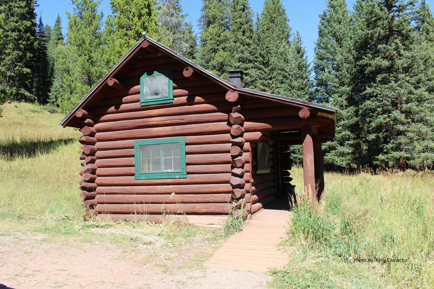
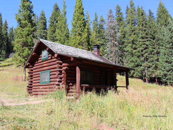
WINDOW ROCK CABIN

Overview

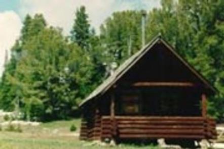
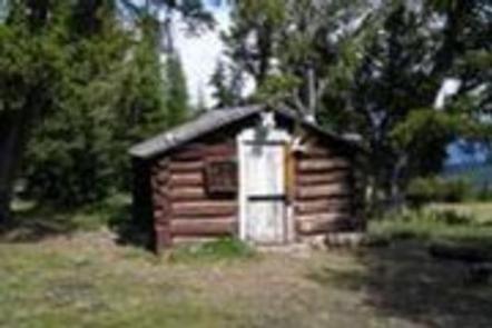
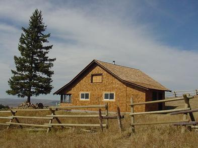
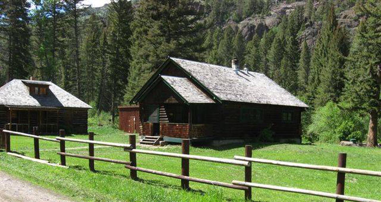
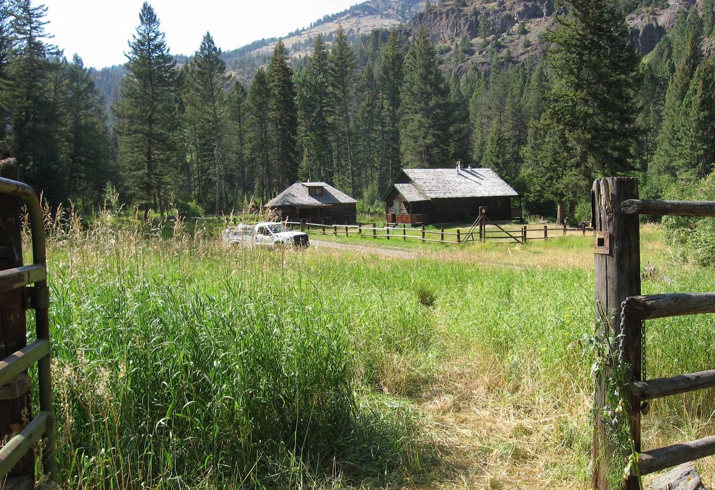
Window Rock Cabin was built in 1940 and now offers a year-round retreat for outdoor enthusiasts. It is ideally located in one of Gallatin National Forest’s most popular recreation areas.

The cabin is accessible by car in the summer. During the spring (from March 31st through May 15th) the road to the cabin is closed to motorized vehicle traffic every year. Guest should be prepared to hike or bike 12 miles to the cabin during this period.

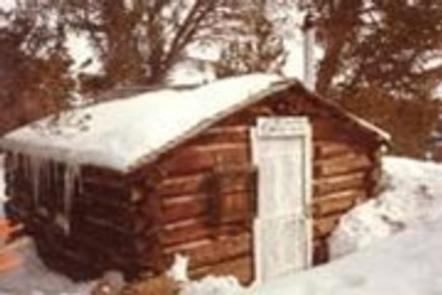
During winter months the access road is infrequently plowed, so guests should be prepared with a four wheel drive, high clearance vehicle or to ski up to 12 miles to the cabin.

Guests are responsible for their own travel arrangements and safety, and must bring several of their own amenities.

Recreation

Hikers and equestrians have access to the Hyalite Peak trailhead that leads into an area of the Gallatin Range known for its waterfalls. Two accessible trails in Hyalite Canyon lead to the waterfalls. Bicyclists can use Hyalite Canyon Road.

Hyalite Canyon is a popular destination for backcountry skiers and ice climbers. Hyalite Reservoir is a mile away, offering opportunities for non-motorized boating and trout fishing. Elk hunting is excellent in Hyalite Canyon in the fall.

Facilities

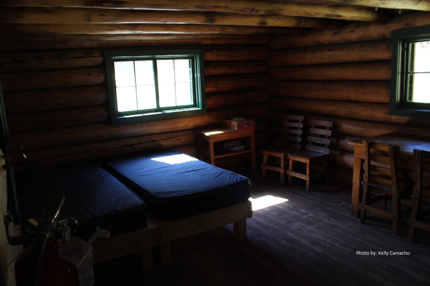
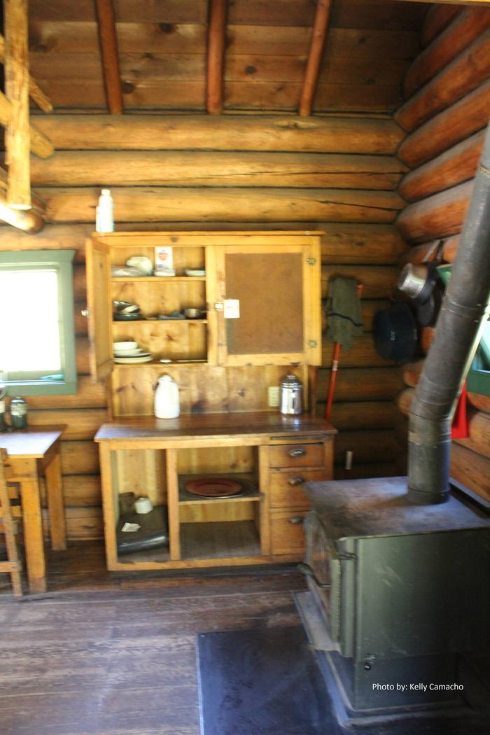
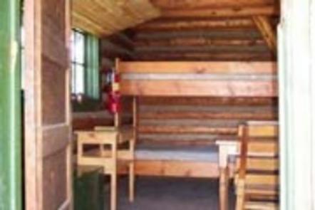
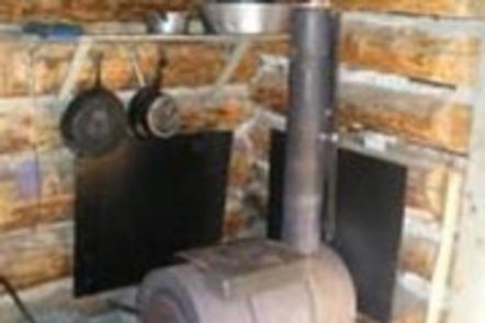
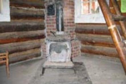
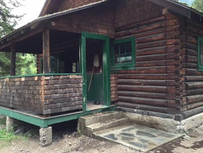
The cabin sleeps four people on twin beds with mattresses. The wood-burning stove can be used for cooking and heating.A table with chairs, broom and dustpan are provided.

A campfire ring is located outside. The outhouse has an accessible vault toilet.
A horse corral is available with space for six horses.

No water or electricity is provided. Guests must bring their own water supply, garbage bags for packing out trash, as well as bedding, lighting, extra toilet paper and matches.

Natural Features

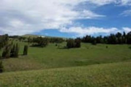
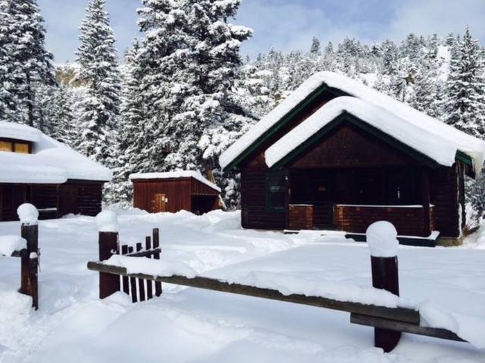
Window Rock Cabin is nestled in Hyalite Canyon, an area with beautiful wildflower meadows during the summer and thick blankets of pristine snow in winter.

Evergreen forest and the steep ridges of the Gallatin Mountains surround the cabin.Hyalite creek flows nearby.

This area is important habitat for grizzly bears, bison, elk, mule deer, mountain lions, bighorn, wolves and mountain goats.

Nearby Activities

  • Biking
  • Camping
  • Fishing
  • Hiking
  • Horseback riding
  • Hunting
  • Winter sports
  • Wildlife viewing

Gallery

Directions

From Bozeman, MT: Drive south on S. 19th Ave. for about 7 miles. Turn left onto Hyalite Canyon Road FS 62. Drive about 12.7 miles to the Window Rock Cabin access road and gate on the right (west) side of the road. Use the cabin combination to unlock the gate. Please close the gate behind you. Continue past the gate for about 200 meters to Window Rock Cabin.

Winter Route, December to March 31: the directions are the same except that you must park at the junction of Hyalite Road FS 620 and the Window Rock Cabin access road (which is 12.7 miles from S. 19th Ave.) From there you may hike, ski, or snowshoe the final 200 meters to the cabin. Please park in the wide pullouts to the side of the road so that snowplows and other Forest visitors can pass.

ROAD CLOSURE INFORMATION: (Please refer to the Motor Vehicle Use Map )

Hyalite Canyon Road, FS 62, closes to all motorized vehicles the evening of March 31 through May 15. Cabin renters must be prepared to walk, ski, or bike approximately 12 miles to the cabin when the road is closed.

Snowmobiles are not allowed at this cabin or anywhere in Hyalite Canyon past Moser Road FS 6210.

Hyalite Canyon Road FS 62 is intermittently plowed during the winter

GPS Coordinates

Latitude 45° 27′ 43.9999″ N

Longitude 110° 57′ 31.0000″ W

Categories
Uncategorized

WINDY PASS CABIN

Overview

Windy Pass Cabin was built in 1934. It provides a rustic mountain retreat with few amenities, so guests need to bring most of their own supplies and gear to make their experience comfortable and enjoyable.

The cabin is available from June 16th through October 14th each year. It is accessible via a 2.5-mile hike or horseback ride up the Windy Pass Trail with an elevation gain of 1,300 feet.

Recreation

The Windy Pass Trail passes by the cabin and takes hikers and equestrians along the ridge and down through the Gallatin Range. Several other trails crisscross the area, including the Gallatin Crest Trail. Hunting in designated areas is also a popular activity.

Facilities

The cabin sleeps four people with a set of bunk beds with mattresses downstairs and two beds in the loft. A wood-burning stove provides heat. A table with chairs, cookware and utensils are available. A horse corral and outhouse with vault toilet are located outside.

Drinking water, electricity and firewood are not provided. Guests needs to bring their own water supply. Trash bags are needed for packing out garbage, and guests are expected to clean the cabin before leaving.

A cook stove is not provided. Visitors should bring items such as bedding, flashlights or lanterns, matches and extra toilet paper.

Natural Features

Windy Pass Cabin is located near the Gallatin Crest at approximately 8,900 feet in the Gallatin Mountains. A small stream flows just below it. High alpine meadows dotted with evergreens surround the cabin and fill with colorful wildflowers in July.

A short walk to the top of the Gallatin Crest offers views of the distant snow-dusted peaks of the Absarokas and the Yellowstone River to the east and the Madison Range to the west.

Grizzly bear, gray wolf, mountain lion, deer, elk, moose, bighorn sheep and the Canada lynx are some of the wildlife that inhabit this area. Birders may see a wide variety of bird species.

Nearby Activities

  • Camping
  • Hiking
  • Horseback riding
  • Hunting
  • Wildlife viewing

Gallery

Directions

There is no motorized access to this cabin.

From Bozeman, MT: Drive west towards Four Corners, then south towards Big Sky/West Yellowstone on US Highway 191 for about 35 miles. Turn left (east) onto Portal Creek Road, FS 984. Travel for 3.5 miles to the FS Road 6959 and FS Road 984 junction. Take the right fork (southeast) and stay on FS Road 984 toward Upper Portal Creek/Windy Pass Trailhead and drive for 5.3 more miles. Stay to the left on FS Rd. 984 past the junction of FS Road 2686 (to the Hidden Lakes Trailhead). From the Windy Pass/Upper Portal Creek trailhead hike Trail 82 for 2.5 miles to the junction with Windy Pass Trail 420. Turn left unto Trail 420 and hike about 1/4 mile to the Windy Pass Cabin.

Elevation gain: 1,300 ft.

This cabin is closed from October 15 through June 15 each year.

ROAD CLOSURE INFORMATION: (Please refer to the Motor Vehicle Use Map and the Interim Summer Trails of the Hyalite Porcupine Buffalo Horn Wilderness Study Area)

Trails 82, 96, 420, and the area around the Windy Pass Cabin are closed to all motor vehicles year around.

GPS Coordinates

Latitude 45° 15′ 55.0001″ N

Longitude 111° 6′ 5.0000″ W
Categories
Uncategorized

YELLOW MULE CABIN

Overview

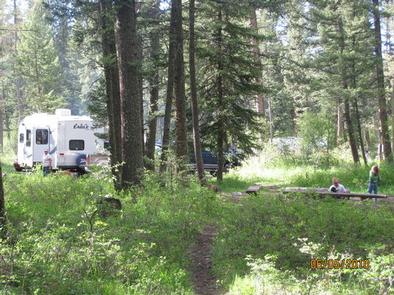
Yellow Mule Cabin was built in 1920 and was once used as a ranger station. This cabin is unique because it was constructed according to the builder’s preference instead of being built with a standard Forest Service design. It is eligible for nomination to the National Register of Historic Places.

The cabin provides a rustic, backcountry retreat year-round. A few basic amenities are provided, so guests should be prepared to bring most of the supplies and gear they need for an enjoyable experience.

This remote cabin is not accessible by car. Summer access is via off-road vehicle, motorcycle or hiking for 8 miles. Winter access is by snowmobile for 14 miles.

Recreation

This cabin is popular with snowmobilers because of its proximity to the Buck Creek Ridge Trail, which offers a 1,000 foot elevation gain. Hikers, mountain bikers and off-road vehicle riders enjoy this trail in the summer.

Snowmobilers and cross-country skiers can also access McAtee Basin. Hunting in designated areas is another popular pastime.

Facilities

This 12 x 14 single-room cabin can sleep up to three people and comes with three cots. A wood stove is provided for heat. Basic cookware, utensils, a propane lantern and a dining table with chairs are available. An outhouse with a vault toilet is located just outside.

Water, electricity, cooking facilities and firewood are not provided. Guests must bring their own water supply and trash bags to pack out trash, as well as bedding, matches, first aid supplies, extra toilet paper and battery-operated lanterns or flashlights.

Natural Features

The cabin sits between a meadow and a stand of mixed evergreens at an elevation of approximately 8,650 feet. Wildflowers bloom across the meadow in the summer and a thick layer of pristine snow blankets the area in winter. The jagged, glaciated peaks of the Madison Mountain Range stretch out into the distance.

Wildlife in this area includes grizzly bear, gray wolf, mountain lion, deer, elk, moose, bighorn sheep and the Canada lynx. Birders may see a wide variety of bird species.

Nearby Activities

  • Historic & cultural site
  • Camping
  • Hiking
  • Hunting
  • Wildlife viewing
  • Mountain biking
  • Off road vehicle trails
  • Snowmobile trails

Gallery

Directions

From Bozeman, MT: Drive west towards Four Corners, then south towards Big Sky/West Yellowstone on US Highway 191 for about 40 miles to the Big Sky turnoff. From here there are three different travel options depending on the season and mode of travel.

1. (June 16 – December 1, weather and snow conditions permitting) Drive south on US Hwy 191 3.75 miles. Turn right (west) onto Buck Creek Ridge Road FS 2599. Drive for 7.7 miles to the Buck Creek Ridge Trailhead. All highway vehicles must park here. Travel for 9.5 miles on Buck Creek Ridge Trail 10. At the junction of Trail 467 to Yellow Mule Cabin, take a right (north) and switchback down about 1/3 mile to the cabin.
Winter Route, December 2 to June 16: Park in the lot across from the entrance to Buck Creek Ridge Road on the east side of US Hwy 191. The cabin is approximately 17.5 miles from the parking area.

2.Drive south on US Hwy 191 for about 5.2 miles from the Big Sky turnoff. Turn right (west) into the Lower Buck Creek Trailhead just past the Corral Bar and Steak House. All cars and trucks must park there. Take Trail 610 which leaves the Trailhead parking area to the north. Travel for 4 miles. This route travels through private land, please stay on the trail. Trail 610 then joins FS Road 2599. Turn left (south) on FS Road 2599 and travel for 5.1 more miles to the Buck Creek Ridge Trailhead. From here travel for 9.5 miles on Buck Creek Ridge Trail 10. At the junction of Trail 467 to Yellow Mule Cabin, take a right (north) and switchback down about 1/3 mile to the cabin. The cabin is approximately 18.6 miles from the trailhead. This route can be used in the summer or winter. In the winter follow the orange diamonds.

3. Non-Motorized: From the Big Sky turnoff and junction with US Hwy 191, turn right (west) onto Lone Mountain Trail/State Highway 64 for 2.9 miles. Turn left (south) onto Ousel Falls Rd. and travel for 1.8 miles to the Ousel Falls Trailhead which is on the south side of the road (left). Take FS Trail 162 southwest for 8.3 miles to the junction with FS Trail 10. Travel right (west) on Trail 10 for approximately 1.5 miles. At the junction of Trail 467 to Yellow Mule Cabin, turn right (north) and switchback down about 1/3 mile to the Cabin.

ROAD CLOSURE INFORMATION: (Please refer to the Motor Vehicle Use Map )

December 1 to June 16 Buck Creek Ridge Road 2599 and the Buck Creek Ridge Trail 10 are closed to all wheeled motorized vehicles.

This is a groomed multi-use winter trail. Please obey traffic rules. Ride on the right side of the trail and ride with caution. Snowmobiles and bicycles must purchase a winter trail grooming pass to travel on groomed snowmobile routes. Contact Montana, Fish Wildlife and Parks for details.
ALL WINTER USERS: Please read the Gallatin National Forest avalanche advisory: www.mtavalanche.com , or call (406) 587-6981.

GPS Coordinates

Latitude 45° 11′ 4.9999″ N

Longitude 111° 24′ 59.0000″ W
Categories
Uncategorized

TRAIL CREEK CABIN

Overview

Trail Creek Cabin, built in 1924, was the original ranger station for the Bozeman Ranger District. It is available year round, offering guests the chance to enjoy summer or winter recreation. The cabin is located in a remote area that is not accessible by car or truck. Guests must travel on foot, horseback, motorized vehicle (under 50”) or mountain bike. In winter, skis, snowshoes or snowmobiles may be used to reach the cabin. The best route for arriving on foot or horseback is about 2 miles, while motorized vehicles (under 50”), and snowmobiles have a 5-mile route. Call the district office M-F, 8 to 4:30, for latest road/trail conditions. Check Travel Plan for restrictions and authorized dates. Guests are responsible for their own travel arrangements and safety, and should be prepared to bring supplies and gear they need for a comfortable stay.

Recreation

The cabin is located along a trail system that connects the Yellowstone and Bozeman Districts. A hiking and equestrian trail at the end of Goose Creek Road leads to several alpine lakes. Snowy conditions in winter provide ample opportunities to snowshoers, cross-country skiers and snowmobilers.
As an addition to non-mortorized use, the Trail Creek Cabin provides wonderful opportunites for the motorized use community. In additon to accessing the cabin by atv, motorcyle or utvs under 50″, the area has several opportunities for looped riding trials as well as scenic overlooks. This cabin can also be accessed via the Bear Canyon Trail by motorized (under 50″) use. Please see Travel Plan for the latest seasonal trail restrictions.  

Facilities

The cabin has bunk beds with mattresses to accommodate up to four people. A wood stove is available to heat the cabin. Other amenities include a table with chairs, propane lantern, shovel, bucket, mop and broom. The cabin is stocked with firewood from OCTOBER THROUGH MAY for indoor fires only. An axe and splitting maul are provided. Please be conservative of the firewood as it is extremely difficult to replace. Gather firewood for outdoor fires from the forest nearby. Do not use the provided firewood for outdoor fires.

A campfire ring and an outhouse with vault toilet are located outside. A horse corral is provided for four animals, and guests who use it must clean it before leaving. Feed must be weed seed free, and out of state horses must have a current Coggins test. WATER SOURCES ARE UNRELIABLE DUE TO STREAM FLOWS. THERE MAY BE NO NEARBY WATER SOURCE.

The cabin does not offer electricity or water. Guests must bring their own drinking WATER, food, cooking gear and propane canisters for the lantern, as well as their own bedding, dishes, utensils, matches, newspaper, flashlights, garbage bags, extra toilet paper, a first aid kit and dish soap, among other necessities. The cabin will need to be cleaned and all trash removed prior to leaving.

Natural Features

The cabin is located in the foothills of the Gallatin Mountains at an elevation of 6,200 feet. It is situated on the edge of a meadow in front of a stand of lodgepole
pine. The front porch of the cabin offers views of the meadow with the mountain peaks beyond. A small intermittent creek flows behind the cabin.

Guests may catch a glimpse of a bear, moose, elk or deer. Several bird species can also be spotted.

Nearby Activities

  • Camping
  • Hiking
  • Horseback riding
  • Winter sports
  • Wildlife viewing

Gallery

Directions

From Newman Creek, foot, ski and horse travel are accommodated. To reach the trailhead, travel south off Interstate 90 (exit 316) on Trail Creek Road for approximately 7 miles, then west on Newman Creek Road to the trailhead (1 mile). The trail to the cabin is 2.2 miles, with the first 1.7 miles crossing private property, so please stay on the trail. For those coming from the south; the Newman Creek Road turnoff is 5.5 miles north of the Trail Creek Road/Divide Road junction. During winter months, Newman Creek Road may not be plowed and an additional 1-mile ski might be necessary to reach the cabin. During wet weather, this trail may be very muddy .

From Goose Creek, snowmobile and off-road vehicle travel (check travel map or call district for dates allowed) are accommodated. To reach this trailhead, travel south off Interstate 90 (Exit 316) on the Trail Creek Road for 3 miles, then east on Goose Creek Road for 2 miles to the locked gate. Parking is available at this point. The cabin is located 5.2 miles further up the road. Off-road vehicles must be less than 50 inches wide to maneuver through a slot in the Goose Creek Gate, and are allowed only certain times of the season.

It is recommended that winter renters carry topographic maps and compasses for navigation, since the route may be difficult to find due to weather conditions.

GPS Coordinates

Latitude 45° 34′ 9.6899″ N

Longitude 110° 50′ 8.0498″ W

Categories
Uncategorized

MILL CREEK CABIN

Overview

Mill Creek Cabin was built in 1927 as a temporary lodging for traveling Forest Service personnel.

The cabin can be accessed by vehicle year-round, though a four-wheel drive vehicle is recommended. Guests are responsible for their own travel arrangements and safety. This cabin offers rustic accommodations with limited amenities, so guests need to bring most of their own supplies and gear for a comfortable stay.

Recreation

Hikers and equestrians can access trailheads that lead into the Absaroka-Beartooth Wilderness. Anglers can fish for Yellowstone cutthroat trout in Mill Creek.
Huckleberry-picking is a popular pastime when in season.

Winter recreation includes cross-country skiing, snowshoeing and snowmobiling on the Mill Creek Snowmobile Trail. The cabin also offers easy access to the Snowbank and and
Passage Creek Falls ski trails.

Facilities

This 20-by-14 log structure has a front and back porch. It has bunk beds with mattresses to accommodate up to four people. Other amenities include a table with chairs, wood-burning stove for heat. It also has an electric range and electric lights. Water is available in the cabin from mid-June to mid-September.

FIREWOOD IS NOT AVAILABLE FROM JUNE 1ST THROUGH SEPTEMBER 30TH. PLEASE BRING FIREWOOD OR GATHER FROM FOREST DURING SUMMER.
DO NOT BURN PROVIDED FIREWOOD FOR OUTDOOR FIRES, EVER, AS IT IS EXTREMELY DIFFICULT TO REPLACE. Firewood is available for indoor use during winter as long as supplies last.
The front porch has a picnic table and benches. A campfire ring( bring your own wood) and outdoor vault toilet are located near the cabin. A corral for up to four horses is located across from the parking area and has running water and a trough during the summer months.

Water is not available at the cabin from mid-September through mid-June, so guests need to provide their own drinking water. Guests also need to bring cookware, utensils, bedding, fire starting materials (newspaper and matches), flashlights, first aid supplies and extra toilet paper. The cabin and corrals (if used) should be cleaned and all trash removed prior to leaving.

Natural Features

Mill Creek Cabin is tucked into the Absaroka Mountains, at an elevation of 5,750 feet. The cabin sits at the edge of a meadow in front of a stand of evergreens. The back
porch overlooks bubbling Mill Creek, a tributary of the Yellowstone River.

Deer, elk and black bears are sometimes visitors to this area. Bird species that inhabit this area include bald eagles, owls, jays, western meadowlarks and mountain bluebirds.

Nearby Activities

  • Camping
  • Fishing
  • Hiking
  • Winter sports
  • Wildlife viewing

Gallery

Directions

From Livingston, travel south on Highway 89 for approximately 15 miles. Turn left (east) on Mill Creek Road 468. From this point, it is approximately 12 miles to the cabin along a paved then gravel road. The cabin (marked as the Mill Creek Work Center) will be on the right, just before the Snowbank Campground. In winter, the road is plowed to the Snowbank snowmobile parking area, which is beyond the cabin.

GPS Coordinates

Latitude 45° 17′ 21.9998″ N

Longitude 110° 32′ 43.0001″ W

Categories
Uncategorized

PORCUPINE CABIN

Overview

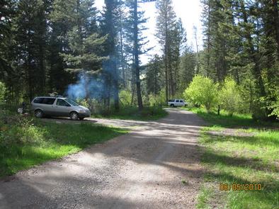
Porcupine Cabin sits in the foothills of the Crazy Mountains at an elevation of 6,400 feet. It was built in 1914 after a previous structure burned down, and was remodeled by the Civilian Conservation Corps in 1934. Since its construction, the cabin has been used as temporary housing by Forest Service rangers while they were patrolling for timber poachers, watching for fires and monitoring livestock. Today, it is available year-round to outdoor enthusiasts, offering access to a variety of activities.

Guests can drive to the cabin in the summer, but a high-clearance, four-wheel drive vehicle is recommended due to road conditions. Winter access requires snowshoeing, skiing or snowmobiling up to 2 miles from the end of the maintained gravel road.

Guests are responsible for their own travel arrangements and safety, and must bring several of their own amenities.

Recreation

Guests can access the nearby trailhead for hiking, mountain biking and equestrian use, heading east into the Crazy Mountains. The trails are used by snowshoers and cross-country skiers in the winter.

Facilities

The 26 x 44 frame house has three rooms and a screened front porch. It has bunk beds with mattresses to accommodate up to eight people. It has a table and chairs, some cleaning equipment and a propane lantern available for use. A wood stove is available to heat the cabin.
FIREWOOD IS NOT AVAILABLE FROM JUNE 1ST THROUGH SEPTEMBER 30TH. PLEASE BRING FIREWOOD OR GATHER FROM FOREST DURING SUMMER.
DO NOT BURN PROVIDED FIREWOOD FOR OUTDOOR FIRES, EVER, AS IT IS EXTREMELY DIFFICULT TO REPLACE. Firewood is available for indoor use during winter as long as supplies last. An axe and splitting maul should be available.

An outhouse with vault toilet is located behind the cabin. A campfire ring is out front. (Please bring wood to burn outside).

Water, electricity and propane canisters for the lantern are not provided. Guests need to bring their own drinking water, cooking gear and food, bedding, fire starters (matches and newspaper), extra toilet paper, flashlights, first aid kit, cookware, dishes and utensils, among other necessities. The cabin will need to be cleaned and all trash carried out.

Equestrian trails are located nearby, and a small pasture near the barn is available for cabin renter’s stock. Please be aware that the pasture fence may not be secure. Stock is not allowed near the cabin or inside the cabin fence. 

Natural Features

The cabin sits on a hillside overlooking the grasslands of Shields Valley. This vantage point provides a majestic view of the Bridger Mountains and spectacular star gazing on a clear night. Guests can look out at the northern peaks of the Crazies from the front porch.
Porcupine Cabin offers a quiet and fairly isolated retreat, however, there may be some passing traffic from recreational users accessing the nearby trailhead.

Deer, moose, bears and elk may be spotted nearby. Several bird species that inhabit this area include bald eagles, owls, jays, western meadowlarks and mountain bluebirds.

Nearby Activities

  • Biking
  • Camping
  • Hiking
  • Winter sports
  • Wildlife viewing

Gallery

Directions

From Livingston, Montana, travel north on Highway 89 to Wilsall. Just north of Wilsall, turn northeast onto Shields River Road. Continue 8 miles to Porcupine Road, turn east (right) and then drive another 8 miles to the cabin. Four-wheel drive vehicles are recommended due to the road condition.

During the winter, the last two miles of the road to the cabin are not plowed. Skis, snowshoes or snowmobiles are required to reach the cabin.

GPS Coordinates

Latitude 46° 6′ 47.0002″ N

Longitude 110° 28′ 17.0000″ W
Categories
Uncategorized

BIG CREEK CABIN

Overview

The original Big Creek Cabin was built in 1907 and it still stands on this site. The current cabin, a former guard station, was completed in 1925 and sits right next to the
original.

Big Creek Cabin is the largest cabin in the Yellowstone District, a 28-by-40 log structure with five rooms and two porches. It offers rustic accommodations with limited
amenities. Guests will need to bring much of their own gear and supplies.

The cabin is accessible by vehicle when there’s no snow, however, four-wheel drive is strongly recommended. In the winter, skis or snowshoes are required to cover the
half-mile to the cabin from the plowed road. Guests are responsible for their own travel arrangements and safety.

Recreation

A trailhead is located near the cabin that leads to three different trails for hikers and equestrians. One of these trails heads into the Gallatin Range.

Good trout fishing is available in Big Creek. Cross-country skiing and snowshoeing are popular winter pastimes.

Facilities

The cabin is furnished with tables, chairs and enough beds with mattresses to accommodate 11 people (most are bunk beds). A propane lantern, wood cook stove and wood
heat stove are also provided. FIREWOOD IS NOT AVAILABLE FROM JUNE 1ST TO SEPTEMBER 30TH. PLEASE BRING FIREWOOD OR GATHER FROM FOREST DURING SUMMER.
DO NOT BURN PROVIDED FIREWOOD FOR OUTDOOR FIRES, EVER, AS IT IS EXTREMELY DIFFICULT TO REPLACE. Firewood is available during winter months as long as supplies last. An axe and a splitting maul should be available. A mop and bucket are provided for cleaning the cabin.

A corral is located across from the cabin, with room for six stock animals. A campfire ring and outhouse with vault toilet are just outside.

Water and electricity are not available. Guests will need to bring their own water supply. Propane fuel for the lantern is not provided, so it may be necessary to
bring extra propane or battery-operated lanterns or flashlights. Garbage bags are needed to pack out trash.

For a comfortable stay, guests should bring a propane canister for the lantern, flashlight, bedding, cookware, dishes, utensils, newspaper, garbage bags, matches, toilet paper and first aid kit. Guests are expected to pack out all trash and clean the
cabin and the stock corral (if used) before leaving.

Natural Features

Big Creek Cabin is located in an area known as Paradise Valley, where the peaks of the Gallatin Range fracture the western sky and the Absarokas rise to the east.

The cabin sits in a flat clearing surrounded by spruce and fir trees at an elevation of 5,800 feet. Big Creek flows about 50 feet from the back porch. Bears, elk, deer
and moose are frequently seen in the vicinity.

Nearby Activities

  • Historic & cultural site
  • Camping
  • Fishing
  • Hiking
  • Horseback riding
  • Winter sports
  • Wildlife viewing

Gallery

Directions

From Livingston, drive south on Highway 89 for approximately 34 miles to Big Creek Road and a sign for Mountain Sky Guest Ranch. Turn right at the sign and follow
Big Creek Road for about 5 miles to the cabin. High-clearance, four-wheel drive vehicles are strongly recommended.

In winter, the road is plowed to Mountain Sky Guest Ranch. Park in the small parking lot just west of Mountain Sky Guest Ranch. Cross-country skis or snowshoes are
required the last half-mile to the cabin from the end of the plowed road. The road gate just past Mountain Sky Guest Ranch closes from Dec. 2 to May 15, annually, for
protection of the road.

GPS Coordinates

Latitude 45° 18′ 28.0001″ N

Longitude 110° 55′ 23.9999″ W

Categories
Uncategorized

IBEX CABIN

Overview

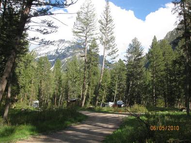
Ibex Cabin was constructed in 1939 as a shelter for Forest Service rangers working within the Shields Ranger District of the Gallatin National Forest of south-central Montana. It is available for summer and winter recreational use, and provides a peaceful, remote mountain retreat.

Guests can drive to the cabin from June until the snow flies. The cabin is closed April and May due to road and wildlife protection. High clearance, four-wheel drive vehicles are strongly recommended. The access road to the cabin may get muddy in the rain, so guests may want to call ahead for road conditions. In the winter, the cabin is only accessible by a 5.5-mile ski, snowshoe or snowmobile trip. Guests are responsible for their own travel arrangements and safety.

This cabin offers very rustic accommodations with limited amenities, so guests should be
prepared to bring most of their own supplies and gear to make their stay an enjoyable experience.

Recreation

There are a number of trails in the area for hikers, equestrians and snowmobilers. Tresspass Trail and Cottonwood Lake Trail are good trails in the area to explore. Trails in the area may cross private property,so guests MUST stay on the trail.

Winter recreation includes snowshoeing and cross-country skiing. Big game hunting is also a popular activity in this area.

Facilities

The cabin has bunk beds with mattresses to accommodate up to four people. Other amenities include a wood stove for heat, a propane lantern ( bring propane cannisters), table, chairs, axe, splitting maul, bucket, broom, mop and shovel.

An outhouse with vault toilet is located outside.
FIREWOOD IS NOT AVAILABLE FROM JUNE 1ST THROUGH SEPTEMBER 30TH. PLEASE BRING FIREWOOD OR GATHER FROM FOREST DURING SUMMER.
DO NOT BURN PROVIDED FIREWOOD FOR OUTDOOR FIRES, EVER, AS IT IS EXTREMELY DIFFICULT TO REPLACE. Firewood is available during winter months as long as supplies last. A campfire ring is located outside, (collect wood in forest nearby or bring firewood for outside fires).

Electricity and water are not available. Guests must bring their own water supply, as well as cooking gear, propane canisters for the lantern, bedding, matches, newspaper, first aid kit, dishes and utensils, toilet paper and other necessities. The cabin will need to be cleaned and all trash carried out, prior to leaving.

Natural Features

The rustic cabin is nestled at the edge of a meadow in the foothills of the Crazy Mountains, at an elevation of 6,600 feet. A forest of Lodgepole pine grows behind the cabin, and views from the front reveal the 7,354-foot peak of Ibex Mountain.

The surrounding meadow bursts with color from wildflowers in the summer. Mule deer, porcupine and elk may be spotted around the cabin. Several bird species that inhabit this area include bald eagles, owls, jays, western meadowlarks and mountain bluebirds.

Nearby Activities

  • Camping
  • Hiking
  • Hunting
  • Winter sports
  • Wildlife viewing

Gallery

Directions

From Livingston, travel north on U.S. Highway 89 just past Clyde Park. Turn right onto Cottonwood Bench Road and continue 3 miles. Turn right onto Cottonwood Road and proceed for about 7 miles, to the intersection of Upper Cottonwood Creek Road and Lower Cottonwood Road. Turn left on Upper Cottonwood Creek Road. Take the next right,
continuing on Upper Cottonwood Creek Road. Continue approximately 4.5 miles to an intersection and bear left onto Ibex Road, following the signs for the next 2.5 miles to the cabin. (High clearance four-wheel drive vehicles are recommended due to the rough road conditions).

In the winter, park at the winter parking area at the intersection of Briggs Lane and Upper Cottonwood Creek Road, which is approximately 9 miles from U.S. Highway 89. Ski, snowshoe or snowmobile the remaining 5.5 miles to the cabin.

The Cottonwood area can be extremely windblown during the winter months. Roads drift in with snow quickly during high winds and may not be plowed for 24 to 48
hours. It is recommended that winter guests carry topographic maps and compasses for navigation since the route may be windblown and difficult to find. The signs might be down due to weather conditions or vandalism.

GPS Coordinates

Latitude 46° 0′ 11.0002″ N

Longitude 110° 26′ 29.0000″ W
Categories
Uncategorized

SNOWBANK CAMPGROUND

Overview

Snowbank Campground is located on the banks of Mill Creek, approximately 29 miles south of Livingston, in southwestern Montana. Visitors enjoy the area for its scenic natural beauty, and fishing and trail opportunities. This campground is not recommended for RV’s over 30′ in length.

Recreation

Mill Creek offers anglers the opportunity to fish for whitefish, rainbow, brown and cutthroat trout.

A number of hiking trailheads near the campground offer wilderness access, climbing into the Absaroka Range. The 6.3-mile Wicked Ridge Trail begins just outside the campground entrance. Off-road vehicle and bike trails also crisscross the area around Snowbank.

Facilities

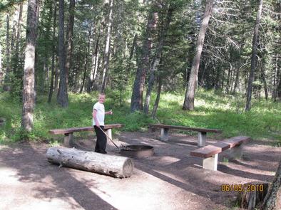
The campground offers one GROUP CAMPING AREA (SITE 12) that can accommodate up to 25 people. Single-family sites are also available. Picnic tables and campfire rings are provided, as are vault toilets, drinking water and trash collection. Firewood is available for $6.00 per bundle.

Natural Features

The campground is situated along Mill Creek near the western edge of the Absaroka-Beartooth Wilderness, where a scenic forest of mature spruce and fir trees covers the area. Thimbleberry and raspberry bushes dot the forest floor.

Nearby Activities

  • Biking
  • Camping
  • Fishing
  • Hiking
  • Wildlife viewing
  • Photography
  • Berry picking
  • Star gazing
  • Birding
  • Water access
  • Backpacking
  • Mushroom picking

Gallery

Directions

From Livingston, travel south on Highway 89 for 16 miles to the Mill Creek Road/Forest Road 486 (Pray turnoff). Turn left (east) onto Mill Creek Road, cross the East River Road (Highway 540) and continue east for 11 miles to the campground.

From Gardiner, take Highway 89 north for 36 miles to the Mill Creek Road/Forest Road 486 (Pray turnoff). Turn right (west) onto Mill Creek Road, cross the East River Road (Highway 540) and continue east for 11 miles to the campground.

GPS Coordinates

Latitude 45° 17′ 24.0000″ N

Longitude 110° 32′ 24.0000″ W
Categories
Uncategorized

PINE CREEK CAMPGROUND

Overview

Pine Creek Campground is located approximately 13 miles south of Livingston, and a few miles east of the Yellowstone River and Highway 89, in Montana. Visitors enjoy the area for its hiking and fishing opportunities in a beautiful natural setting.

Recreation

Pine Creek offers anglers the opportunity to fish for whitefish, rainbow and brown trout. An accessible fishing dock is located within the campground.

Creekside Trail is an accessible nature trail that meanders along Pine Creek for a half-mile in the campground.

The Pine Creek Trailhead offers hiking and horseback riding. Pine Creek Trail climbs five miles up to Pine Creek Lake, a beautiful 32-acre alpine lake. A mile up the trail from the campground, hikers are awarded beautiful views of Pine Creek Falls.

Facilities

The campground offers several single-family campsites, as well as an OVERNIGHT GROUP CAMPING AREA (SITE 26) and GROUP PICNIC AREA (SITE 28) is available for DAY-USE ONLY. Tables and campfire rings are provided, as are vault toilets, drinking water and trash collection.

Natural Features

Pine Creek is situated in the foothills of the Absaroka Mountains in the heart of beautiful Paradise Valley. A forest of mature Douglas fir and spruce trees covers the campground.

Nearby Activities

  • Biking
  • Camping
  • Fishing
  • Hiking
  • Picnicking
  • Wildlife viewing
  • Day use area
  • Photography
  • Berry picking
  • Star gazing
  • Birding
  • Water access
  • Backpacking
  • Mushroom picking

Gallery

Directions

From Livingston, head south on Highway 89 for 9 miles. Turn left onto East Side Road and continue 6 miles. Go a quarter-mile past the town of Pine Creek and turn onto Forest Road 202. Continue 3 miles south to the campground.

From Gardiner, travel north on Highway 89 to the Pray turnoff on Mill Creek Road. Turn right onto Mill Creek Road and go a half-mile to the stop sign at the junction with East Side Road. Turn left on East Side Road and go about 10 miles to Forest Road 202. Turn right onto 202 and go 3 miles south to the campground.

GPS Coordinates

Latitude 45° 30′ 1.0001″ N

Longitude 110° 31′ 0.0001″ W