Categories
Uncategorized

CABIN CREEK CABIN

Overview

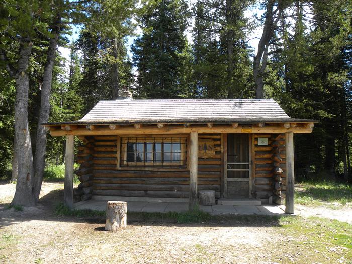
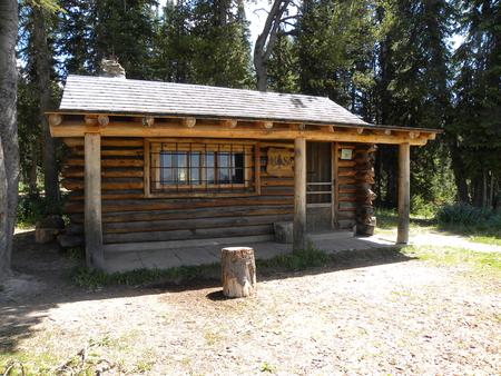
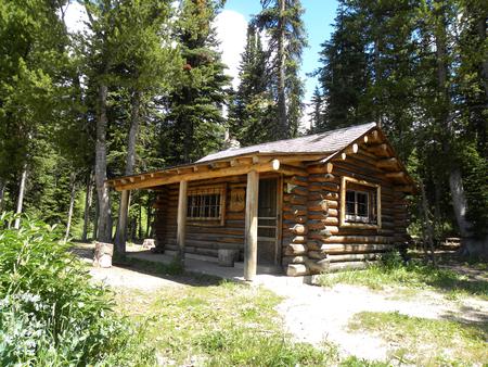
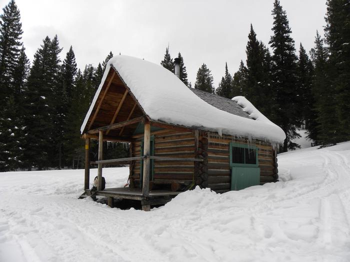
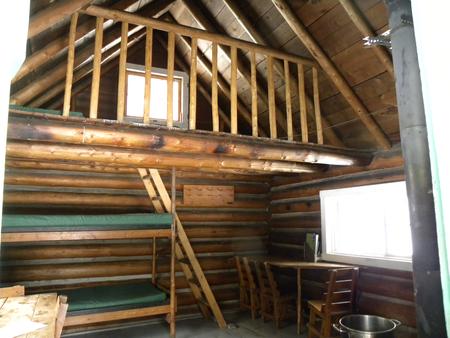
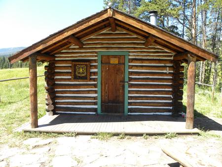
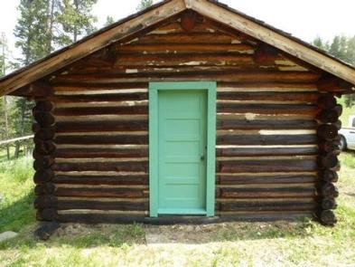
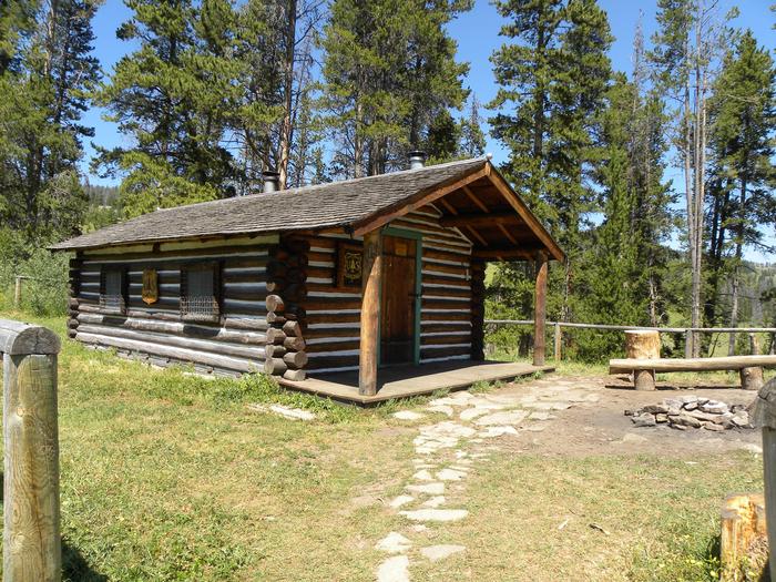
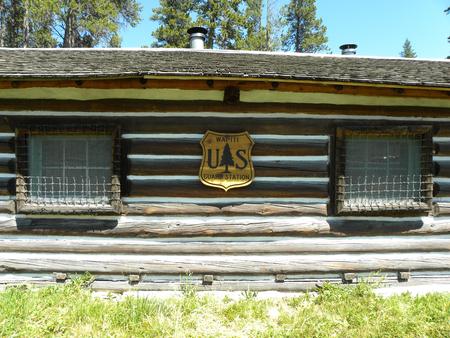
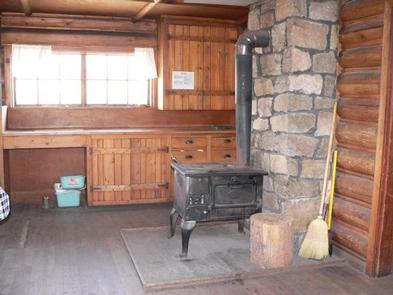
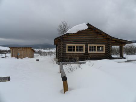
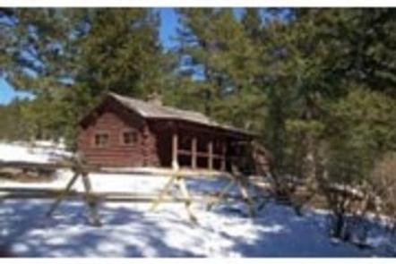
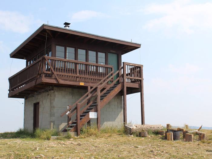
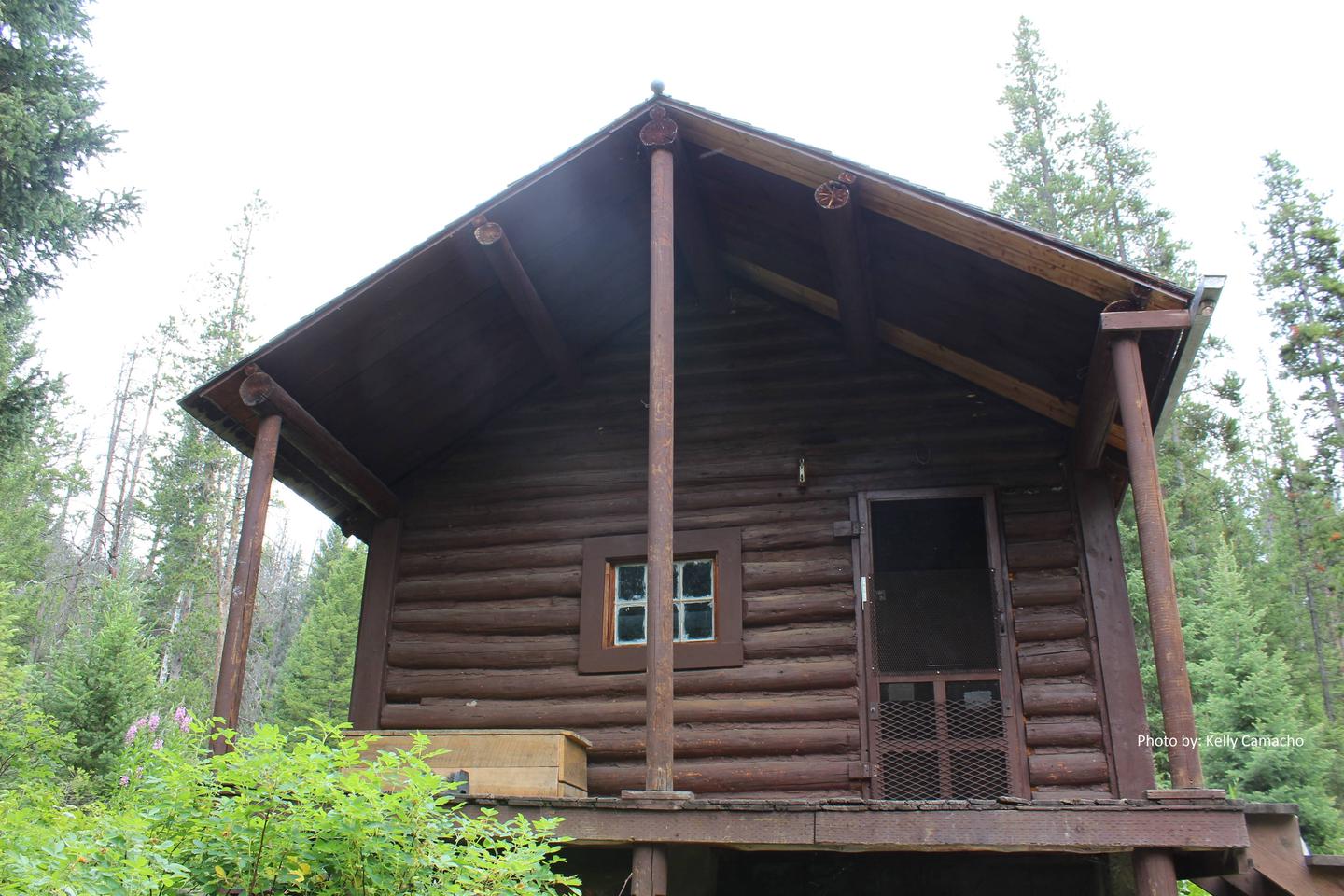
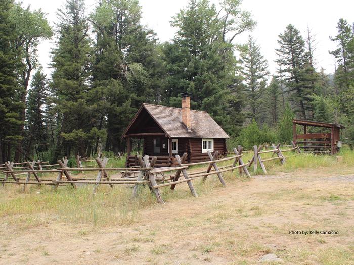
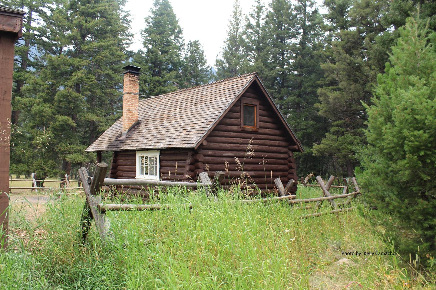
Cabin Creek Cabin is a primitive, rustic, single-room structure that was built by the Civilian Conservation Corps in the 1930s. It offers a few basic amenities, so guests will need to bring most of their own supplies and gear to ensure an enjoyable experience.

Cabin Creek Cabin is closed during the spring season due to weather and trail conditions. The cabin is open during the summer, fall, and winter months; June to March.

Guests are responsible for their own travel arrangements and safety, and they must bring several of their own amenities.

Recreation

Cabin Creek is surrounded by hiking, horseback riding, and mountain biking trails as well as ATV/UTV and motorcyles routes subject to seasonal restrictions and delayed open dates. Please contact the Hebgen Lake Ranger District to obtain open dates. 

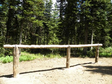
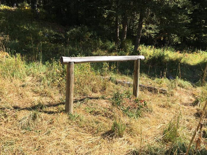
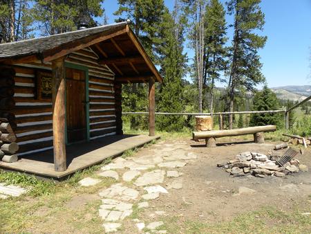
Hikers and equestrians have trailhead access to the Monument Mountain Unit of the Lee Metcalf Wilderness, which climbs 10,995 feet in elevation to the Monument Peak. There is a hitching rail provided for stock use. The Big Sky Snowmobile Trail used to access the cabin in winter provides challenging backcountry snowmobiling.

The area offers excellent big game hunting opportunities in the fall.

Facilities

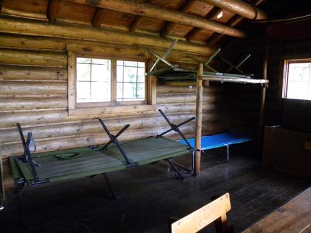
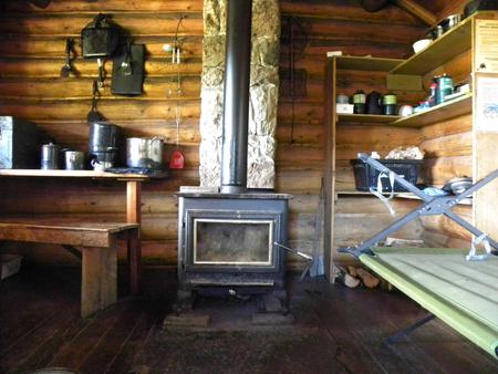
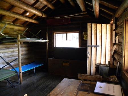
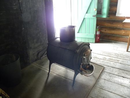
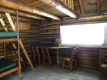
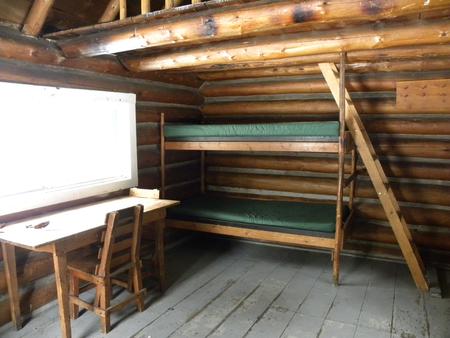
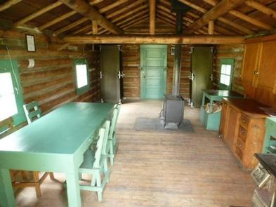
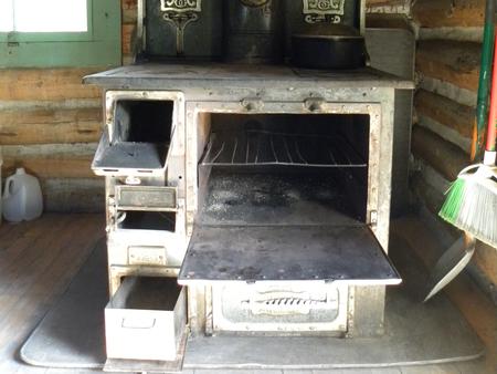
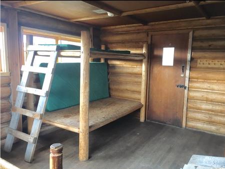
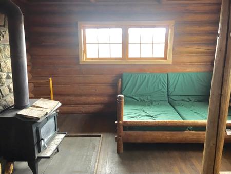
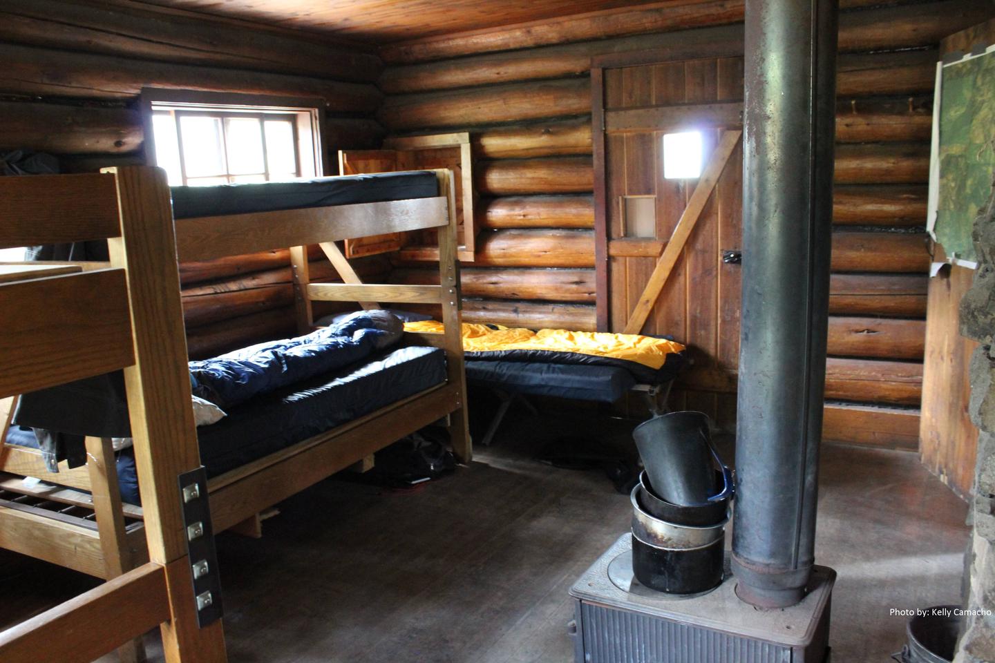
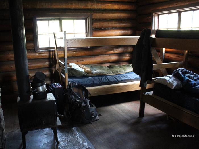
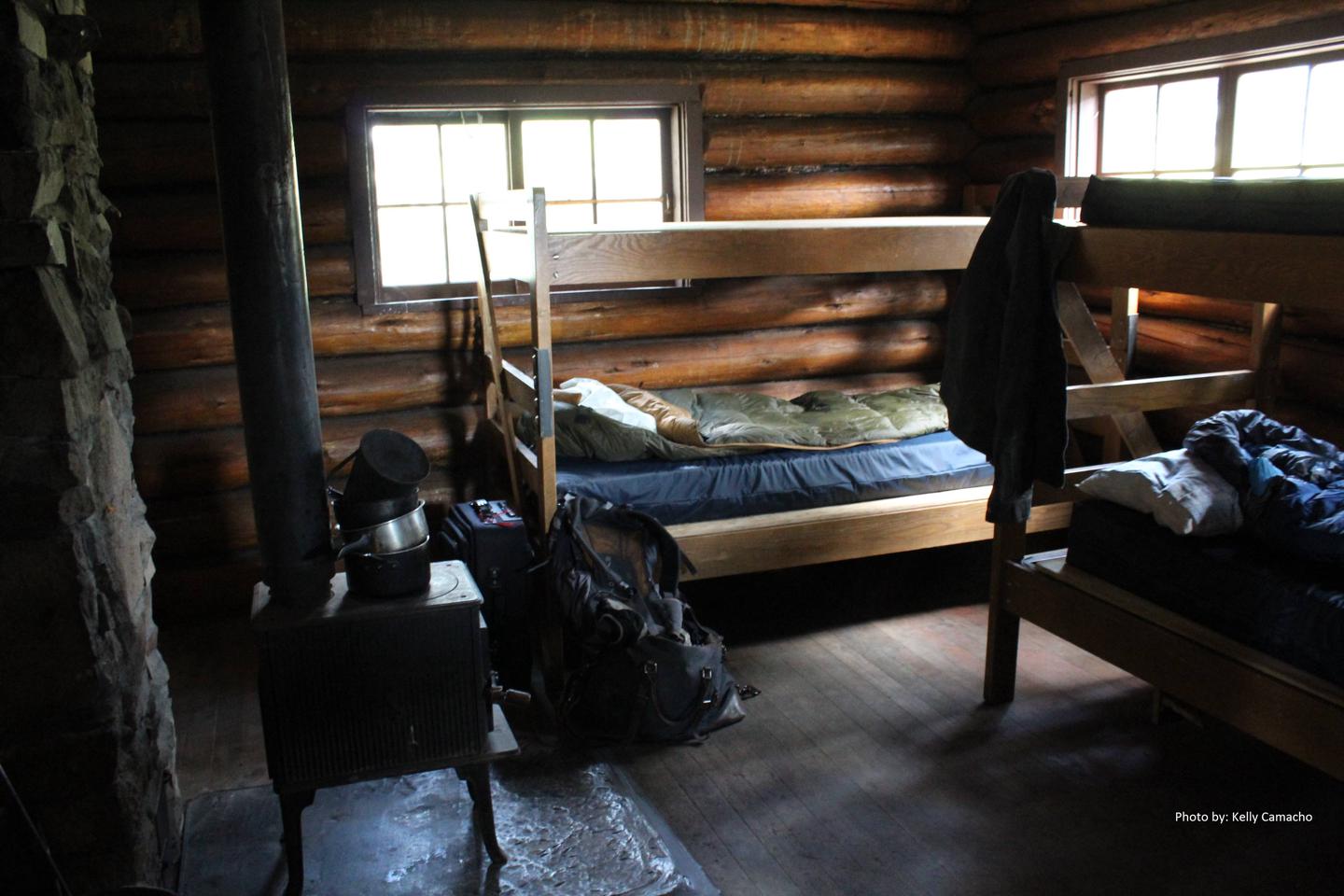
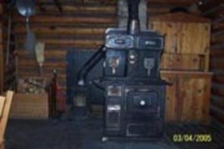
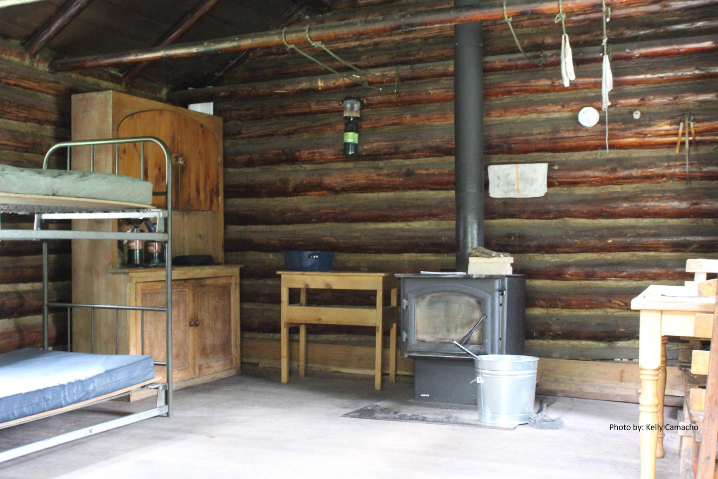
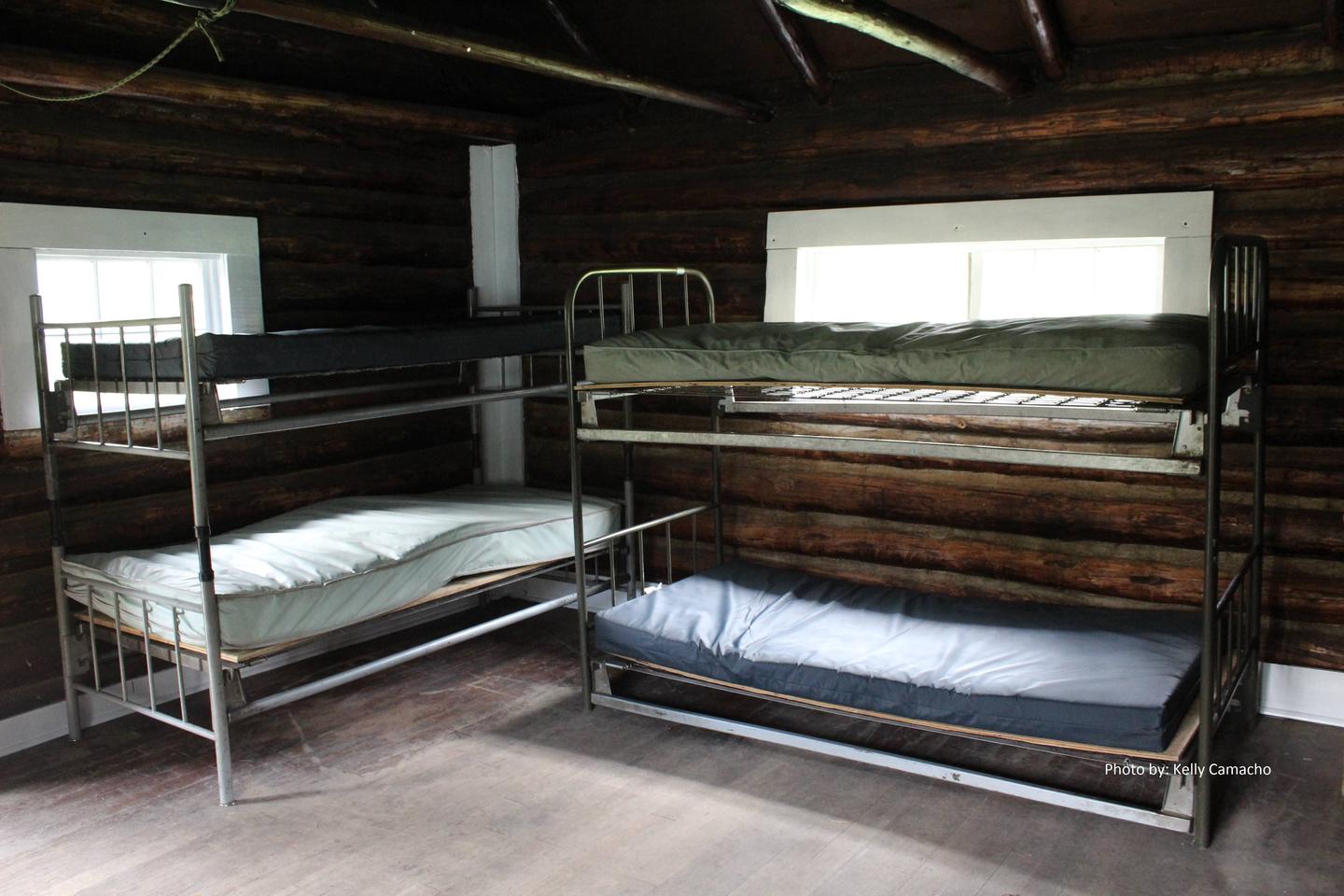
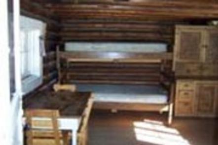
The cabin can sleep up to three persons, with a maximum group size of four persons for overnight use. The cabin has a seven night maximum stay per group. The cabin has one bunk bed platform and three cots. A wood stove is available to heat the cabin, but firewood is not provided. Do not cut green trees for firewood. Basic cookware, dishes, an axe, shovel, broom, mop, and a table with chairs are provided. 

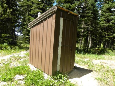
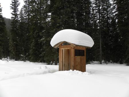
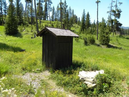
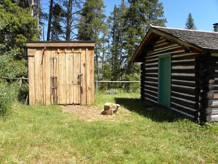
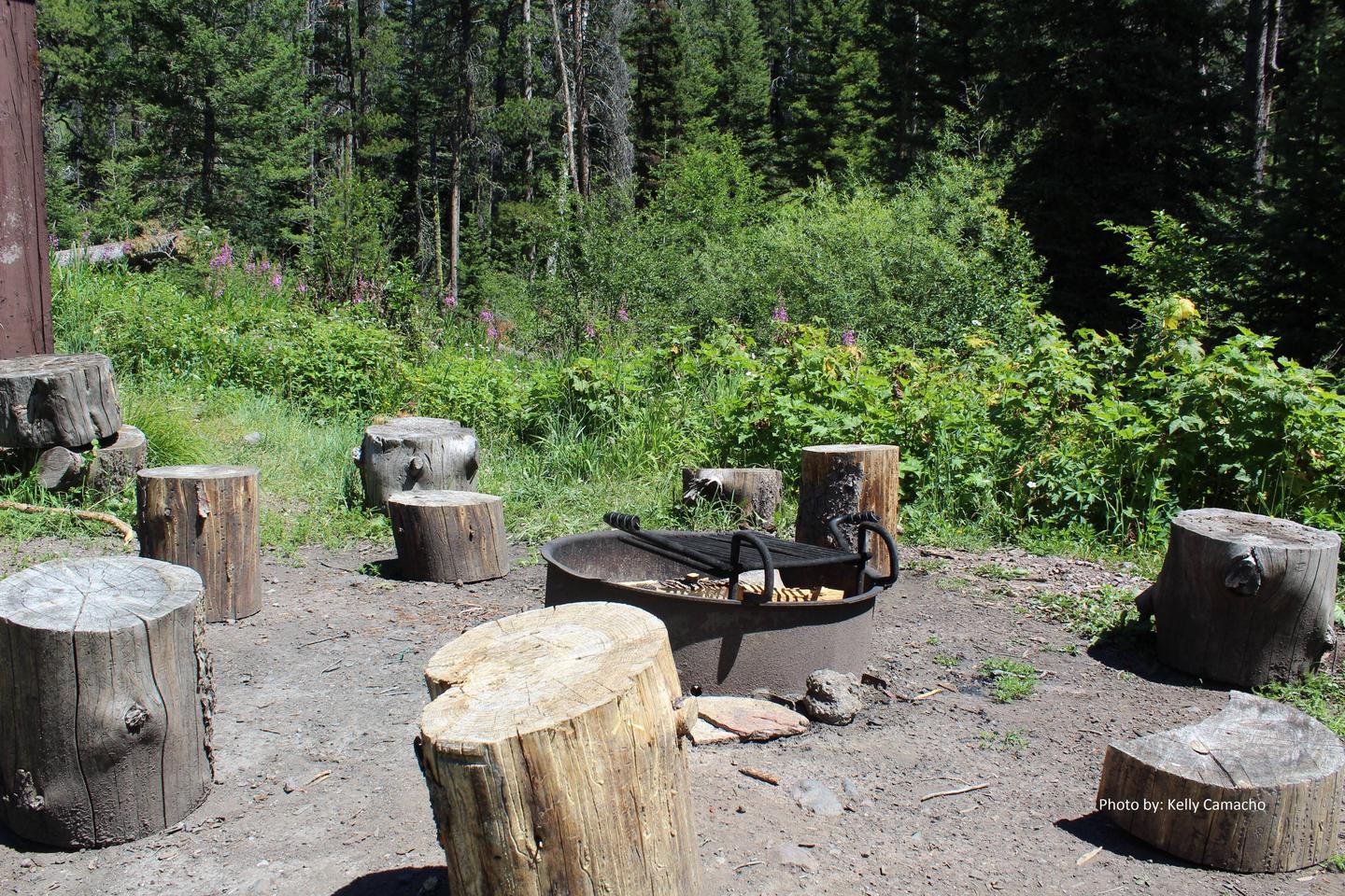
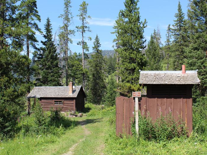
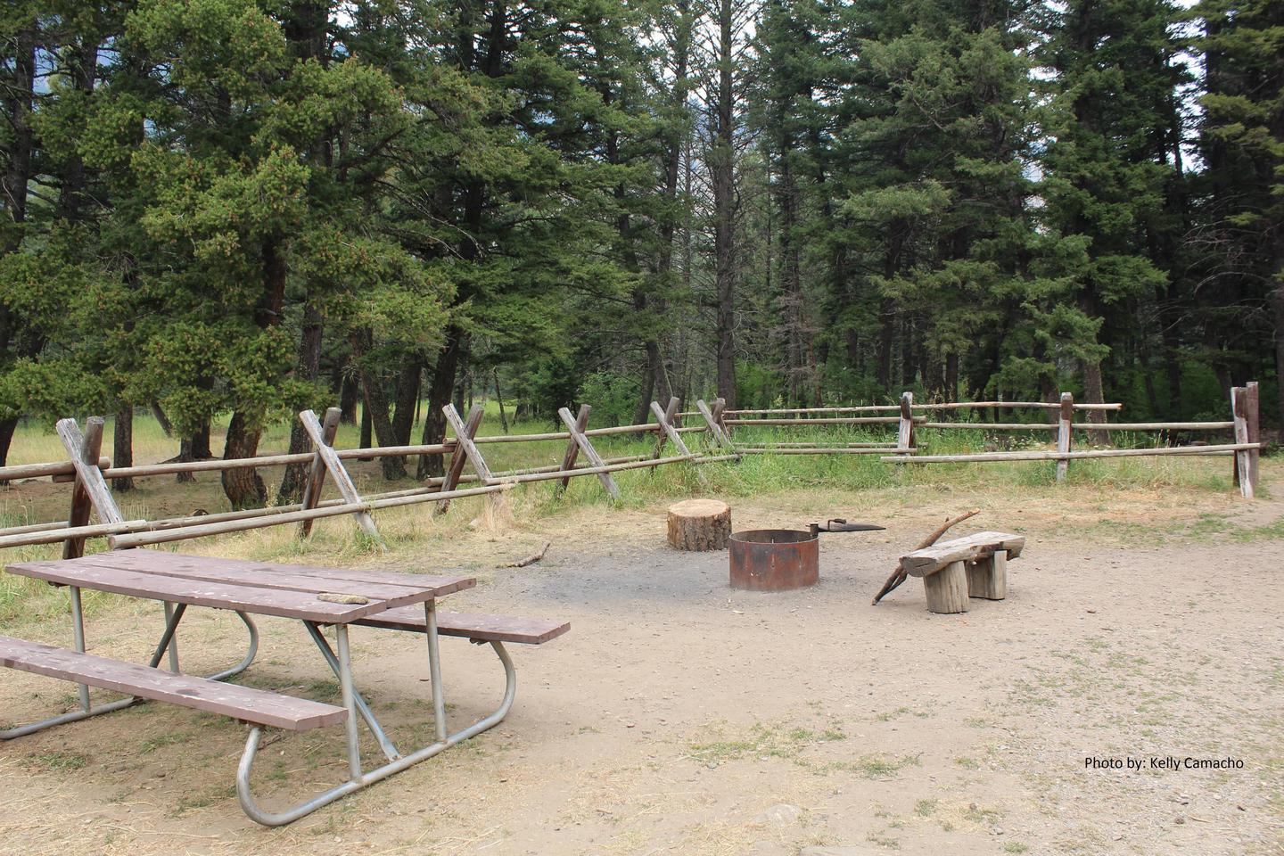
An outhouse with a vault toilet is located outside and adjacent to the cabin. A hitching rail for stock is available.

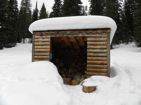
Drinking water, electricity, and firewood are not provided. Guests need to bring their own water supply and firewood, since wood is scarce around the cabin. Garbage bags are also necessary for guests to pack out all trash. Limited cookware, dishware, and utensils are provided. It is recommended that campers bring their own for use.

Lanterns or flashlights are not provided. Items like bedding, dish soap, matches, first aid supplies, and extra toilet paper are not available. Guests are expected to clean the cabin prior to leaving.

Natural Features

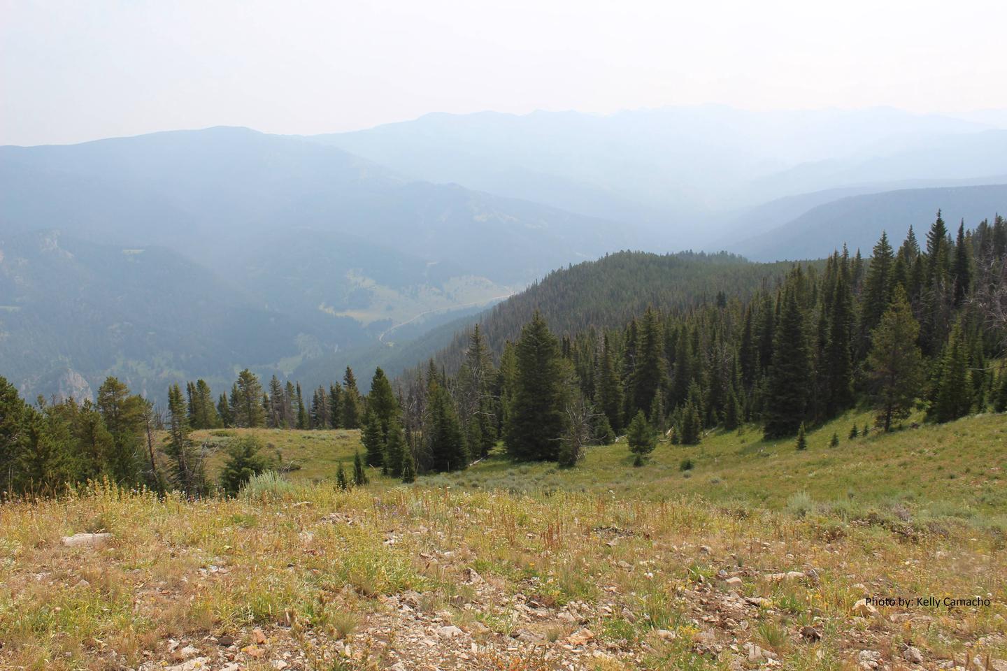
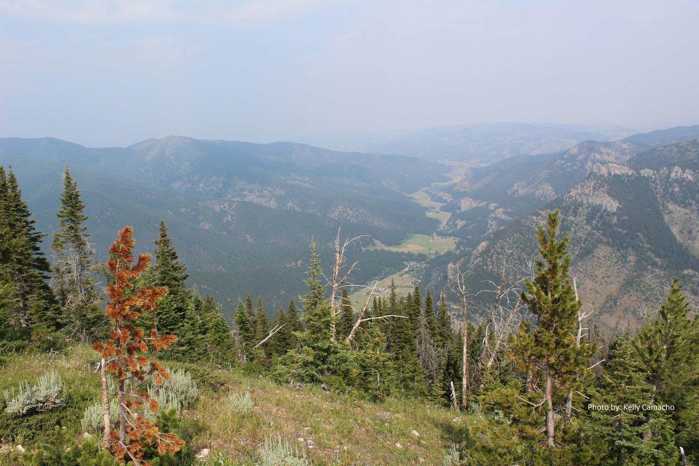
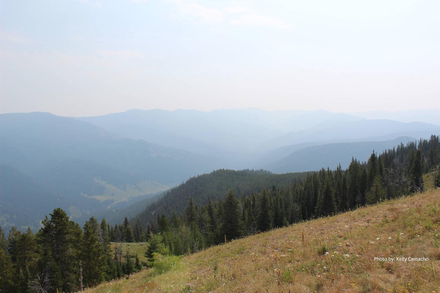
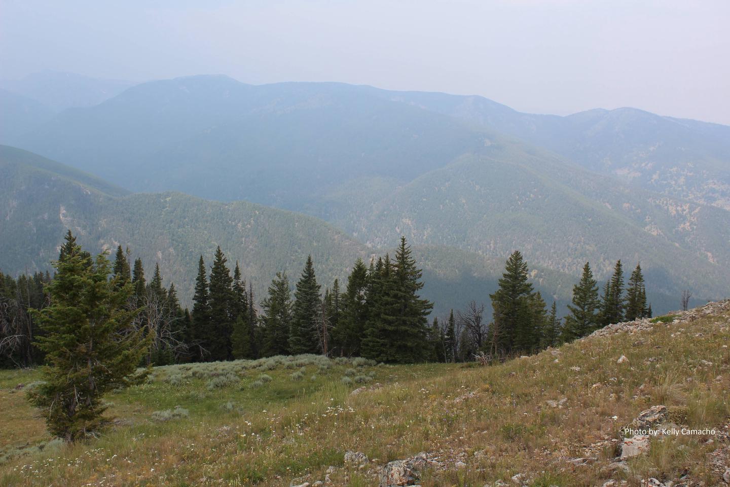
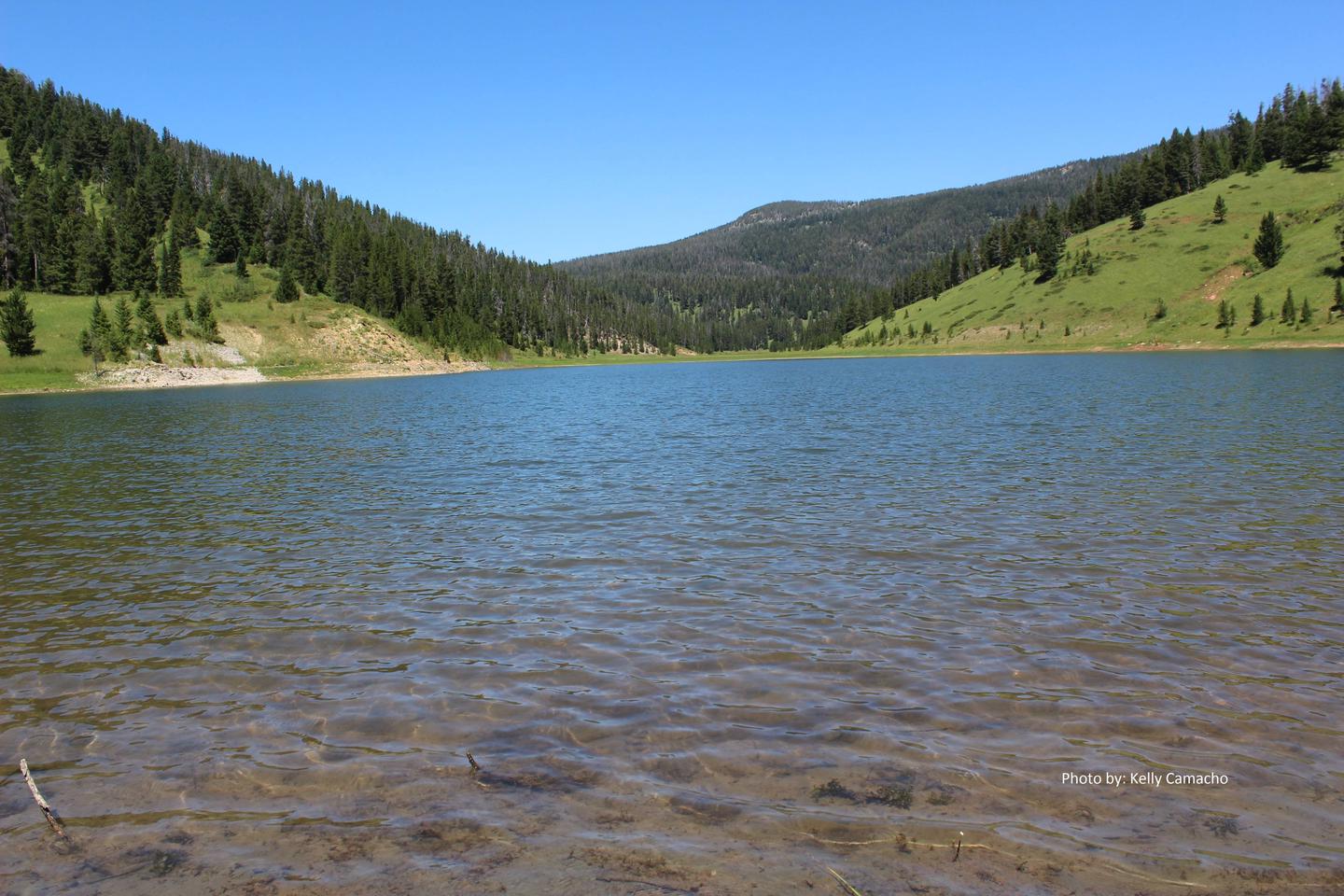
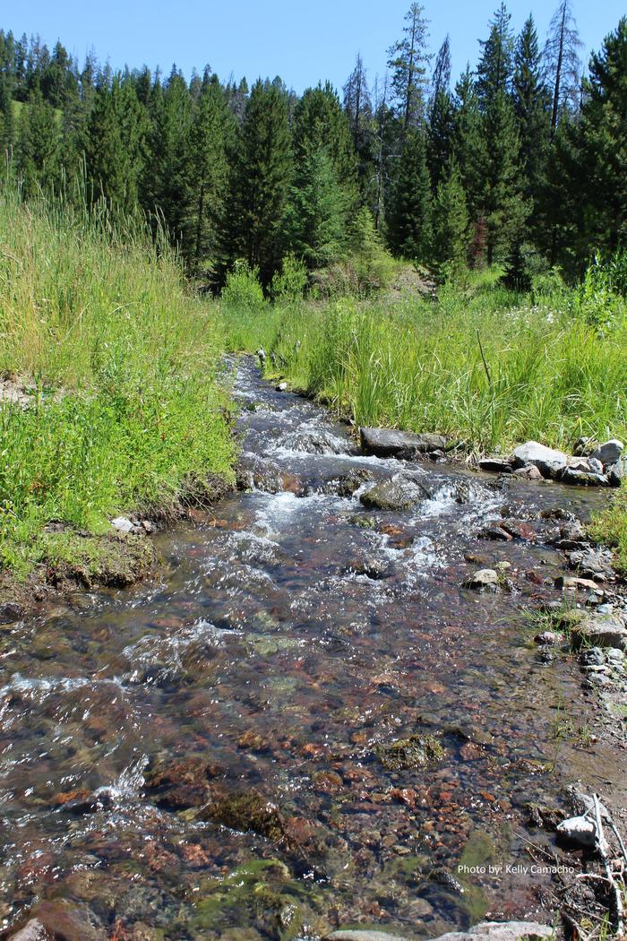
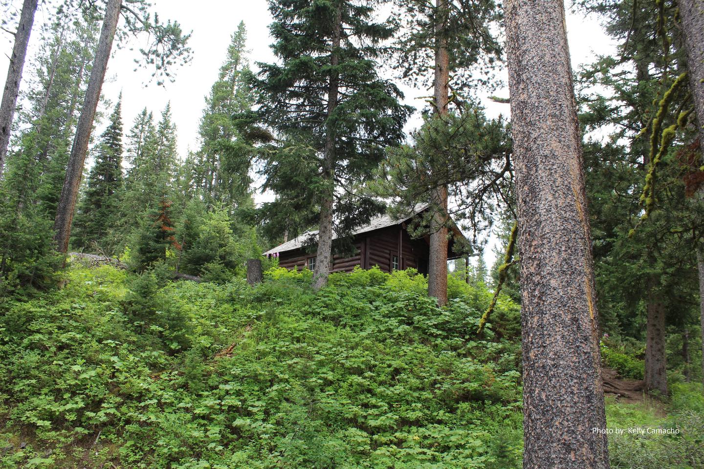
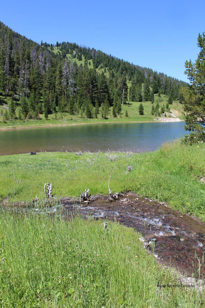
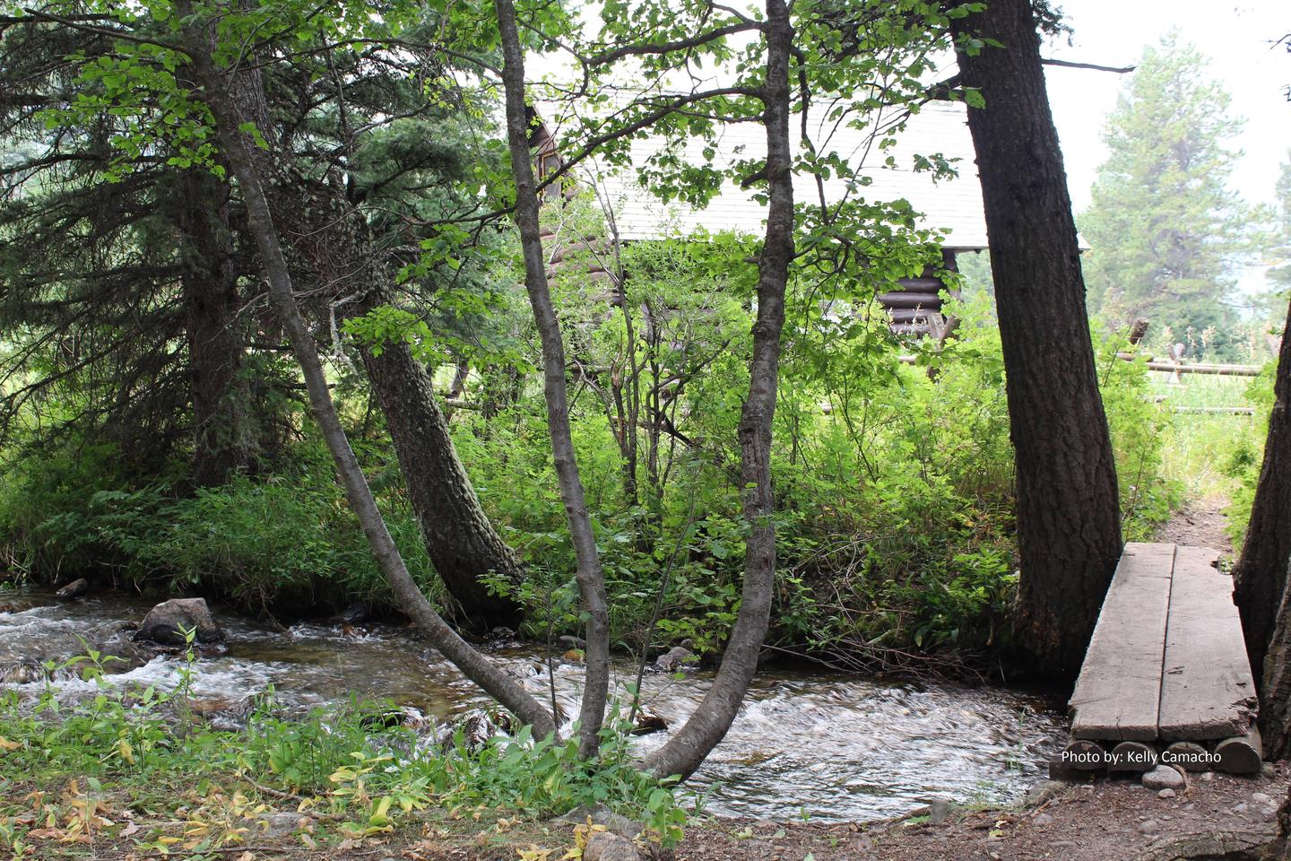
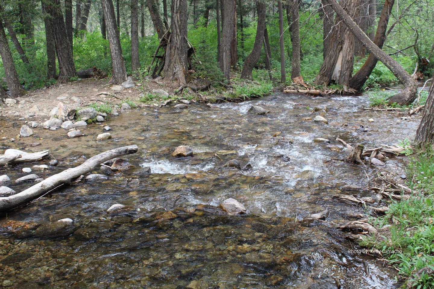
The cabin sits at an elevation of approximately 8,700 feet, among a stand of mixed conifers. Middle Fork Cabin Creek flows nearby. The surrounding meadow and forests give way to the peaks of the Madison Range.

The Lee Metcalf Wilderness and Cabin Creek Wildlife Management Area are nearby. Wildlife species in this area include grizzly bears, elk, gray wolves, bighorn sheep, deer, and moose.

Nearby Attractions

Yellowstone National Park is approximately 20 miles from Cabin Creek Cabin, which makes it an ideal destination for a day trip.

The surrounding area also holds Hegben and Earthquake lakes as well as the Earthquake Lake Visitor Center

Nearby Activities

  • Camping
  • Hiking
  • Horseback riding
  • Hunting
  • Winter sports
  • Wildlife viewing

Gallery

Directions

Summer access from West Yellowstone: Take U.S. Highway 287 to Forest Service Road 681, Red Canyon Rd, then to the Red Canyon Trailhead. Foloow Trail #205 approximatley 5 miles to Cabin Creek Trail, then 1 mile via hike, horse, mountain bike, or motorcylce to the cabin. Note: ATVs must park at the junction with trail #205 and use permitted methods to access cabin. Motorcyles can access cabin directly during allowed season.

ATV/UTV and motorcylce access is allowed July 16 – December 1 from the Teepee Creek Rd. 986 (Call Ranger station for Trail conditions and possible delays).

Winter access from West Yellowstone: The cabin is adjacent to the Big Sky Snowmobile Trail. North from West Yellowstone by snowmobile or car approximately 9.5 miles on U.S. Highway 191. Parking is available at the Fir Ridge Cemetery pullout. The Big Sky Snowmobile Trail starts on the north side of U.S. Highway 191 and runs approximately 11 miles to the cabin.

During the early summer and fall, guests are encouraged to call the Hebgen Lake Ranger District at (406) 823-6961 for road conditions and access to the cabin.

GPS Coordinates

Latitude 44° 53′ 15.0000″ N

Longitude 111° 11′ 48.0001″ W

Categories
Uncategorized

BEAVER CREEK CABIN (MT)

Overview

Beaver Creek Cabin is a primitive, rustic cabin located within the Custer Gallatin National Forest, in an area that offers a variety of recreational activities. The cabin is situated 3.5 miles down Forest Service Road 985. It is accessible by vehicle when there is no snow, but winter access is only by snowmobile, skis, or snowshoes. 

Guests are responsible for their own travel arrangements and safety, and they must bring several of their own amenities.

Recreation

Several trailheads near the cabin lead into the Lee Metcalf Wilderness. These trails take hikers and equestrians to high mountain lakes within the Madison Range. There is a hitching rail provided for stock use. Other trails on the forest offer access to ATV/UTV and motorcycles.

Winter activities include snowmobiling, showshoeing, and cross-country skiing. Hunting and fishing are available nearby.

Hebgen Lake is within 10 miles, offering many other recreational opportunities.

Facilities

This is a primitive cabin. It accommodates a maximum of six people, with a seven night stay maximum per group. A wood stove heats the cabin, and firewood is provided for the interior wood stove through certain dates. Firewood is provided October 1st – May 31st for indoor use only. Other amenities include an axe, shovel, bucket, and table with chairs. There is a sleeping loft and two bunk beds.

No water or electricity is available at the cabin. Guests must either bring drinking water or treat water they retrieve from natural sources. It is also recommended that guests bring their own cooking stoves. Garbage bags are needed to pack out trash. Limited cookware, dishware, and utensils are provided. It is recommended that campers bring their own for use.

Items such as bedding, flashlights or lanterns, first aid supplies, and extra toilet paper are also not available at the cabin.

Natural Features

The cabin sits at an elevation of around 7,000 feet in a wooded canyon near Beaver Creek and the Lee Metcalf Wilderness. It is nestled within the Madison Range and tucked beneath 11,316-foot Hilgard Peak, the highest in the range.

Visitors to this area may see an abundance of wildlife, such as deer, elk, grizzly bears, moose, and bighorn sheep. A variety of bird species also inhabit the area.

Nearby Attractions

Yellowstone National Park is within 30 miles, making it an ideal day trip from Beaver Creek Cabin.

Other attractions include; Hebgen Lake, Earthquake lake and the Earthquake Lake Visitor Center, and Henry’s Lake State Park Accross the Idaho Border.

Nearby Activities

  • Boating
  • Camping
  • Fishing
  • Hiking
  • Horseback riding
  • Hunting
  • Winter sports
  • Wildlife viewing

Gallery

Directions

Summer access from West Yellowstone: Proceed 8 miles north on U.S. Highway 191. Turn left onto U.S. Highway 287/Hebgen Lake Road and continue for 14.5 miles. Turn right on Beaver Creek Road/Forest Service Road 985 and drive for 3.5 miles. The cabin access road is on the right side of Beaver Creek Road. The cabin is 300 yards down the access road. You must open a locked gate to enter the access road. The combo for the gate is the same combo provided to unlock the cabin in the confirmation letter. Please keep the gate closed and locked at all times.
Winter access from West Yellowstone: Proceed 8 miles north on U.S. Highway 191. Turn left onto U.S. Highway 287/Hebgen Lake Road and continue for 14.5 miles. Park at the Refuge Point parking lot, adjacent to the highway. Do not park on the highway. Snowmobile, ski, or snowshoe from the parking lot, approximately an eighth of a mile west, to Beaver Creek Road/Forest Service Road 985. Turn right and continue north 3.5 miles to the cabin, on the right side of the road. 

During the spring and fall, guests are encouraged to call the Hebgen Lake Ranger District at (406) 823-6961 for road conditions and access to the cabin.

GPS Coordinates

Latitude 44° 54′ 56.9999″ N

Longitude 111° 21′ 20.9999″ W

Categories
Uncategorized

WAPITI CABIN

Overview

Wapiti Cabin is a primitive, rustic, log structure open year-round for recreational enjoyment. It provides access to several trails for summer hiking and biking, and winter skiing and snowmobiling. The cabin can be accessed by vehicle in warmer weather, but snow conditions may require a six mile trek on skis, snowshoes, or by snowmobile.

Guests are responsible for their own travel arrangements and safety, and they must bring several of their own amenities.

Recreation

The junction of Taylor Fork Road and Wapiti Creek offers several trailheads leading into the Cabin Creek Wildlife Management Area.
Mountain bikers will find several route options in the Wapiti Loops in Taylor Fork, including a 14-mile route that begins at the cabin.

For winter sports enthusiasts, the Big Sky Snowmobile Trail is within 2 miles of the cabin, and it offers some of Montana’s best backcountry snowmobiling. The area around Wapiti Creek also offers good terrain for cross-country skiing and snowshoeing.
The cabin is open to stock, and there is a corral available for horses. A hitching rail surrounds the cabin for stock use.

Please keep in mind that fall hunting season brings big game hunters to this area.

Facilities

This is a primitive cabin. It can sleep up to four people, with a maximum group size of six people for overnight use. There is a seven night maximum stay per group. A wood stove is available for heat, and an old-fashioned wood cook stove is also available. Basic ammeneties such as an axe, shovel, bucket and table with chairs are also provided. Four cots are available.

An outhouse is located outside and adjacent to the cabin. Firewood is supplied for indoor use only. Renters must gather their own wood for outdoor campfires. A corral is available for stock. Limited cookware, dishware, and utensils are provided. It is recommended that campers bring their own for use.

No electricity or water is available. Guests must bring their own drinking water, flashlights and lanterns, bedding, matches, extra toilet paper, garbage bags, dish soap, and other necessities. The cabin will need to be cleaned and all trash removed prior to departure.

Natural Features

Wapiti Cabin is situated inbetween the Madison Mountain Range and the Gallatin Mountain Range at an elevation of 7,000 feet. Beyond the meadow, guests at the cabin can see dense stands of evergreens and rugged mountain ridges. Wapiti Creek flows nearby.

The area around Wapiti Cabin is grizzly bear habitat, but it’s also home to deer, elk, moose, and other wildlife. 

Nearby Attractions

Wapitit Cabin is within the vacinity of West Yellowstone, MT, home of the West Gate to Yellowstone National Park. 

It is also close to Hebgen and Earthquake lakes as well as the Earthquake Lake Visitor Center. 

Nearby Activities

  • Biking
  • Camping
  • Horseback riding
  • Hunting
  • Winter sports
  • Wildlife viewing

Gallery

Directions

Summer access (May 16 to December 1): For summer access from West Yellowstone, proceed north on Highway 191 for approximately 33.5 miles. Turn left on Taylor Fork Road/Forest Service Road 134 and proceed approximately 3.5 miles. Turn left on Forest Service Road 2522 and proceed approximately 1.5 miles. The cabin is located on the right side of the road.

Winter access (December 2 to May 15): From Sage Creek Trailhead parking area off of Highway 191, follow the newly relocated Big Sky/Carrot Basin Trail for eight miles. Please note that the cabin is located on the edge of a winter wildlife closure area. Off trail snowmobiling around the cabin is permitted only to the south of the access road (on the left side, if traveling to and beyond the cabin).

Trail grooming occurs December 1 – March 31 depending on snow conditions. View grooming report at destinationyellowstone.com/snowmobile. Trail maybe impassable due to weather.

Skiers and snowshoers may access the cabin by traveling south on FS road 2522 which is not plowed or groomed.

During the spring and fall, guests are encouraged to call the Hebgen Lake Ranger District at (406) 823-6961 for road conditions and access to the cabin. 

GPS Coordinates

Latitude 45° 2′ 24.0000″ N

Longitude 111° 17′ 8.9999″ W

Categories
Uncategorized

BASIN STATION CABIN

Overview

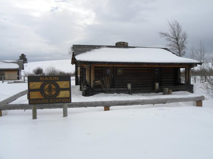
Basin Station Cabin is a primitive, rustic, two-room structure located in the Hebgen Lake Ranger District of the Custer Gallatin National Forest. The cabin is open year-round. The adjacent road is heavily traveled. Winter guests can snowshoe, ski, or snowmobile to the cabin up to three miles from the nearest available parking. This cabin is parking accessible during warmer months.

Guests are responsible for their own travel arrangements and safety, and they must bring several of their own amenities.

Recreation

Basin Station is surrounded by hiking, horseback riding, and mountain biking trails as well as ATV/UTV and motorcyles routes subject to seasonal restrictions and delayed open dates. Please contact the Hebgen Lake Ranger District to obtain open dates. Horses are not allowed at the cabin. The horse corral is used administratively by the USDA Forest Service.  

Winter activities in the area include cross-country skiing, snowmobiling, and snowshoeing.

Nearby Hebgen Lake offers opportunities for fishing, boating, and hunting. A public boat launch with two docks is located about two miles from the cabin at Lonesomehurst Campground and additional access to the lake is available through surrounding day use areas.

Facilities

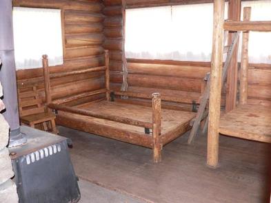
This is a primitive cabin. It sleeps four people and has a six persons maximum per group at cabin site. There is a seven day maximum stay per group. A wood stove is available for heat, and an old-fashioned wood cook stove is also available with firewood provided October 1st – May 31st for indoor use only. Basic amenities are provided such as an axe, shovel, and a table with chairs. The cabin is equipped with a double-bed platform and one set of bunk bed platforms, all equipped with mattresses.

No water or electricity is available at the cabin. Guests must either bring drinking water or treat water they retrieve from natural sources. It is also recommended that guests bring their own cooking stoves. Garbage bags are needed to pack out trash. Limited cookware, dishware, and utensils are provided. It is recommended that campers bring their own for use.

Items such as bedding, flashlights or lanterns, first aid supplies, and extra toilet paper are also not available at the cabin.

Natural Features

The cabin sits in an open meadow in the Upper Madison River Valley with views of distant evergreen forests and mountain peaks on all sides. It is situated within a couple miles of the South Fork Arm of the Madison River; just down the road from Hebgen Lake.

The area around Basin Station Cabin is grizzly bear habitat, it’s also home to bison, elk, pronghorn, and other wildlife. 

Nearby Attractions

The cabin is approximately nine miles from West Yellowstone, MT, home of the West Gate to Yellowstone National Park. 

Other attractions include; Hebgen Lake, Earthquake lake and the Earthquake Lake Visitor Center, and Henry’s Lake State Park across the Idaho Border. 

Nearby Activities

  • Biking
  • Boating
  • Camping
  • Fishing
  • Hiking
  • Horseback riding
  • Hunting
  • Winter sports
  • Water sports
  • Wildlife viewing

Gallery

Directions

Summer directions from West Yellowstone: Proceed west on U.S. Highway 20 for approximately 6.5 miles. Turn right on Denny Creek Road and continue approximately two miles north. The cabin is located on the right side of the road.

Winter directions from West Yellowstone: Proceed west on U.S. Highway 20 for approximately 7.5 miles. Parking is available at the Buttermilk Trailhead, located approximately one mile up Highway 20 from Denny Creek Road, to the left. Guests will need to ski, snowmobile, or snowshoe one mile down Highway 20 from the Buttermilk Trailhead parking lot, and proceed along the two mile trail to the cabin.

During the spring and fall, guests are encouraged to call the Hebgen Lake Ranger District at (406) 823-6961 for road conditions and access to the cabin. Road conditions can vary greatly. 

GPS Coordinates

Latitude 44° 42′ 34.9999″ N

Longitude 111° 14′ 7.0001″ W
Categories
Uncategorized

BATTLE RIDGE CABIN

Overview

Battle Ridge Cabin is a rustic dwelling located north of Bozeman, in southwestern Montana. The cabin was built in 1938 and is open year-round. It can be reached by vehicle in the summer, but guests visiting during winter must hike or ski a quarter-mile from the highway to reach the cabin.

Guests are responsible for their own travel arrangements and safety, and must bring several of their own amenities.

Recreation

This is a popular destination in winter for cross-country skiers and snowshoers. Hikers can find nearby trails.

Hunting is a popular activity in the area. This is also an ideal spot for birding and watching other wildlife species.

Facilities

Battle Ridge Cabin is wheelchair accessible and has a capacity of up to four to five people. Two sets of bunk beds with mattresses and one cot are provided. A wood cook stove, propane lantern, table and chairs are also provided.

A vault toilet is located in an outhouse nearby. A campfire ring is just outside the cabin.

No electricity or running water is provided. A spring is located about 500 yards away, but the water should be treated or boiled prior to consumption. Guests need to bring garbage bags to pack out their trash, and they are expected to clean the cabin before leaving.

Items such as bedding, dishes, dish soap, dish towels, lanterns or flashlights, extra toilet paper, extra propane and first aid supplies are not available.

Natural Features

The cabin sits in a meadow surrounded by the evergreen-forested slopes of the Bridger Mountains, including the 9,004-foot Ross Peak, one of the better-known mountains in the range.

The Custer Gallatin National Forest provides habitat for species such as grizzly and black bear, gray wolf, mountain lion, deer, elk, moose, bighorn sheep and the Canada lynx. Birders may see a wide variety of bird species.

Nearby Attractions

Bozeman is approximately 20 miles away, offering various dining, shopping or opportunities to get necessary supplies.

Nearby Activities

  • Hiking
  • Hunting
  • Off highway vehicle
  • Winter sports
  • Wildlife viewing
  • Fire lookouts/cabins overnight
  • Mountain biking
  • Cross country skiing
  • Snowshoeing
  • Sledding
  • Downhill skiing
  • Snowmobile trails

Gallery

Directions

Late spring, summer, and fall access by regular vehicle (May to November):
From Bozeman, MT: Drive north on 19th Ave. to West Oak St. Turn right onto West Oak and drive east to N. Rouse Ave. Turn left onto US Highway 86 and drive for 20 miles. Remain on Highway 86 towards Battle Ridge Pass by staying left at the Brackett Creek Y. The cabin access road is about 0.9 miles more and is on the left (east) side of the highway 1/4 mile before the Battle Ridge Trailhead and Battle Ridge Pass. Open the gate using the cabin combination and drive another 1/2 mile to the cabin.

Winter Route, December to April (depending on snow conditions):
Winter parking is only available at the Battle Ridge Trailhead. Parking along Highway 86 is prohibited so that highway snow plows can work. Please park at the Battle Ridge Trailhead. Please leave room for trucks with trailers in the parking area. You may ski, snowshoe (or walk), and snowmobile from the Battle Ridge Trailhead on a marked ski and snowmobile trail which begins on the south end of parking area. Look for the trail marker near the entrance to the parking lot. It is about a half mile to the cabin from the trailhead. Follow the orange and blue diamond trail markers.

GPS Coordinates

Latitude 45° 52′ 28.9999″ N

Longitude 110° 53′ 30.9998″ W

Categories
Uncategorized

FOX CREEK CABIN (MT)

Overview

Fox Creek Cabin is a former ranger station located in a remote area. It is very small and offers only basic amenities. Guests will need to bring most of the gear and supplies they need to have a comfortable and enjoyable stay.

The cabin is located in a non-motorized area and can only be accessed by a 2.5-mile hike during the summer months, from the end of Langohr Road. A four-wheel drive vehicle is recommended for driving on Langohr Road. Winter access to the cabin requires hiking, skiing or snowshoeing about six miles from the South Cottonwood Trailhead.

Recreation

The South Cottonwood and History Rock Trails are used to access the cabin and are available for hiking, mountain biking, snowshoeing and cross-country skiing, depending on the conditions. Both trails connect to the Mount Blackmore Loop Trail, which offers views of the Hyalite Canyon at the summit of Mount Blackmore before descending to Blackmore Lake.

Fishing is possible in the area, as well as hunting in the fall.

Facilities

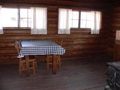
The cabin has bunk beds with mattresses to accommodate up to two people. A small wood stove can be used for heating and cooking. A table with chairs, basic cookware, dishes, utensils and cleaning equipment are provided.
An outhouse is equipped with a vault toilet.

Electricity and water are not provided. Guests must bring their own water supply and flashlights or lanterns. Guests should also bring their own bedding, dish soap, toilet paper, garbage bags and other supplies.

The cabin will need to be cleaned and all trash carried out prior to departure.

Natural Features

The cabin sits at an elevation of approximately 6,700 feet, next to South Cottonwood Creek in the midst of the Gallatin Mountain Range. It is situated in a small clearing surrounded by thick evergreen forest, so it is well hidden from the trails used to reach the cabin. The access trails offer scenic views of wildflower meadows and 10,154-foot Mount Blackmore.

Wildlife in this area includes grizzly and black bears, gray wolves, mountain lions, deer, elk, moose, bighorn sheep and Canada lynx. Birders may see a wide variety of bird species.

Nearby Attractions

Nearby Activities

  • Biking
  • Camping
  • Fishing
  • Hiking
  • Hunting
  • Winter sports
  • Wildlife viewing

Gallery

Directions

There is no motorized access to this cabin.
There are two travel options to Fox Creek Cabin:

1. South Cottonwood Trailhead. From Bozeman, MT: Drive south on S. Cottonwood Road for about 7 1/2 miles. Turn left onto Cottonwood Canyon Road and drive about 2.1 miles to the end of the road and the South Cottonwood Trailhead. Travel approximately 6 miles on S. Cottonwood Trail 422 to the junction with the History Rock Trail 424. Travel about 1/4 mile more on History Rock Trail 424. Look for a side trail on your right. Travel this trail and follow the signs about 1/4 mile more to the cabin.

This is the recommended winter route (December 2 through June 15). The cabin is small and nestled in trees and may be difficult to find when snow covered.

3. Langohr. From Bozeman, MT: Drive south on S. 19th Ave. for about 7 miles. Turn left onto Hyalite Canyon Road FS 62. Drive 6.3 miles on Hyalite Road 62 to the intersection with Langohr Road FS 6230 (closed December 2 – June 15). Drive about 5 miles up FS Rd 6230 to the end of the road (stay on FS Road 6230). Take the path to the south to join with Trail 424 and travel west (right). Hike, bicycle or horseback ride for a total of about 2.5 miles to the junction with the cabin access trail, which is about a 1/4 mile before you reach the South Cottonwood Trail 422.

ROAD CLOSURE INFORMATION: (Please refer to the Motor Vehicle Use Map )
Hyalite Canyon Road, FS 62, closes to all motorized vehicles the evening of March 31 through May 15.
Hyalite Canyon Road FS 62 is intermittently plowed during the winter.

GPS Coordinates

Latitude 45° 28′ 48.0000″ N

Longitude 111° 2′ 39.0001″ W
Categories
Uncategorized

GARNET MOUNTAIN FIRE LOOKOUT

Overview

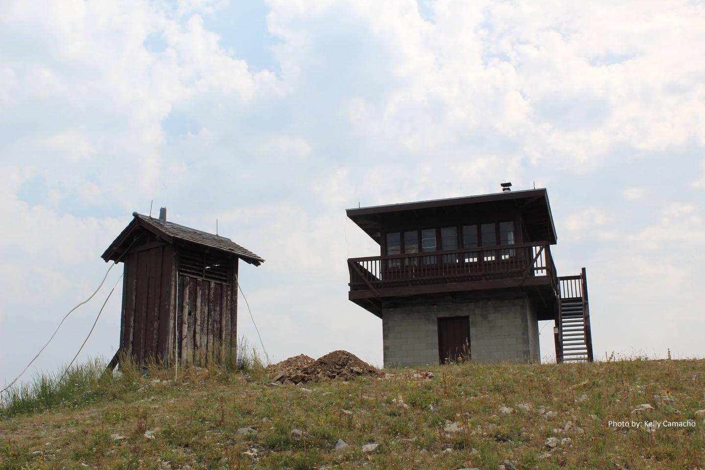
Garnet Mountain Fire Lookout sits on the apex of Garnet Mountain, at an elevation of 8,245 feet. The lookout provides a panoramic view of the surrounding peaks and valleys. Highlights include the Spanish Peaks to the west, the Gallatin Range to the south, the Hyalite Ridge to the east and the Gallatin River Valley to the north.

The structure can be accessed by hiking, horseback or mountain bike on the Garnet Mountain Lookout Trail in the summer. The 4.5-mile trail gains 2,800 feet along its path. Motorcycles and ATVs can access the lookout via the Rat Lake Trail from June 16 through December 1. During winter months, guests must plan on skiing, snowmobiling or snowshoeing up to 10 miles.

Guests are responsible for their own travel arrangements and safety, and must bring several of their own amenities.

Recreation

Hikers, mountain bikers and off-road vehicle riders can access the same trail used to get to the lookout.
Snowy conditions offer abundant opportunities for cross-country skiing and snowshoeing.

Big game hunting for bear, elk or moose is a popular autumn pastime around Garnet Mountain.

Facilities

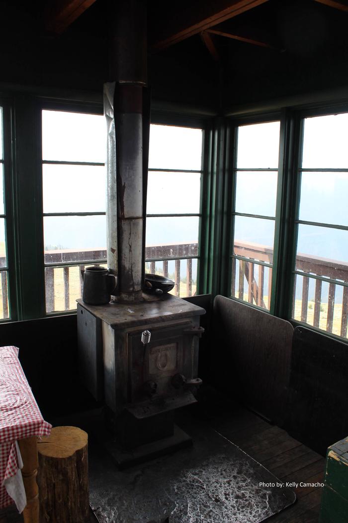
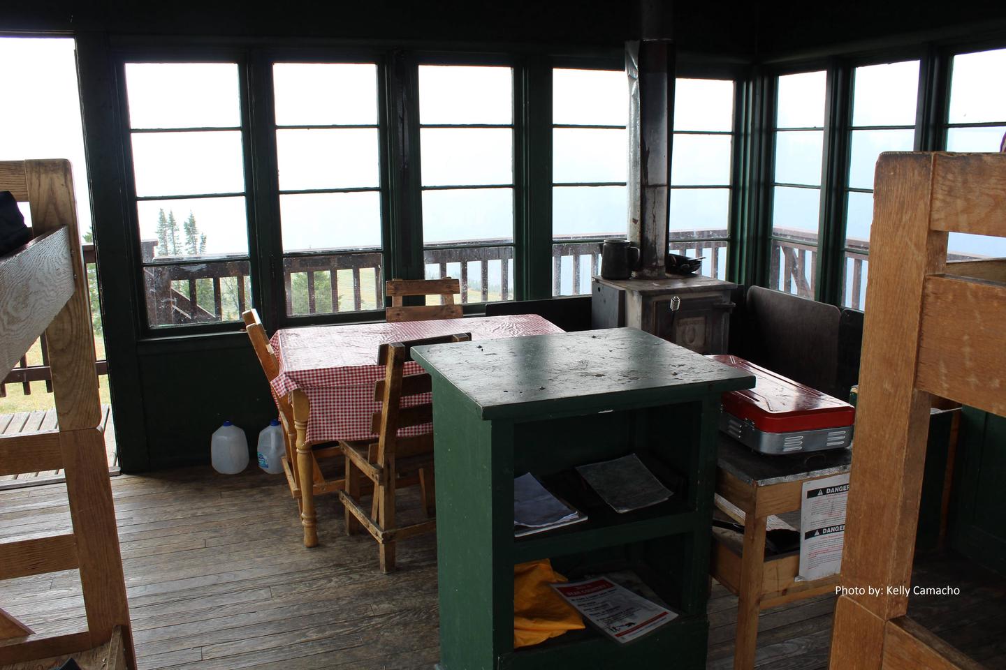
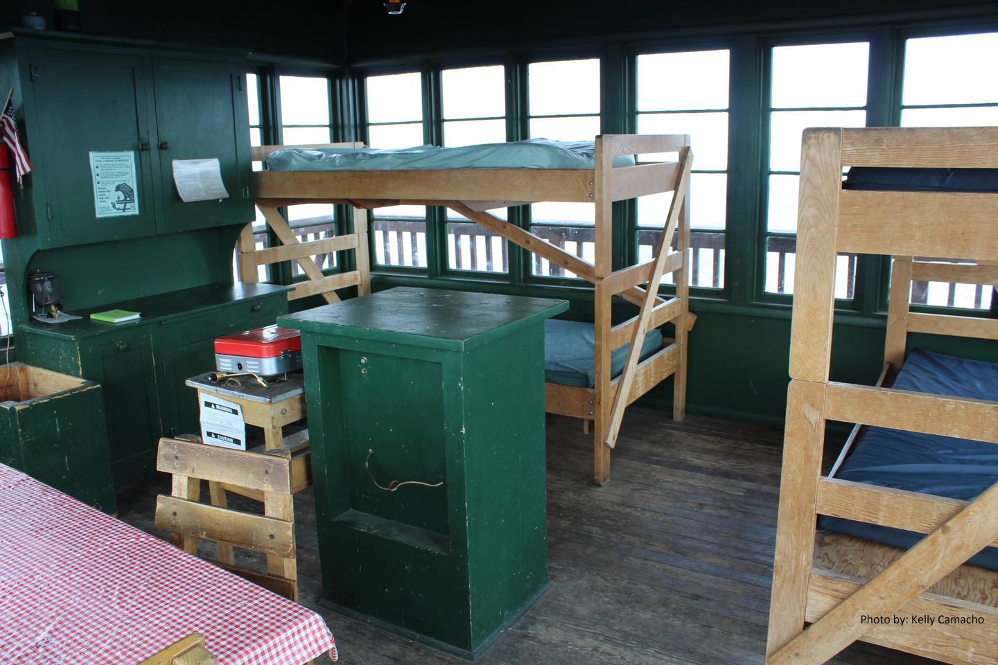
The lookout can sleep up to four people on provided bunk beds with mattresses. There is a wood stove for heat and propane stove for cooking. Other amenities include a table with chairs, basic cookware, dishes and utensils. A vault toilet is located outside the facility.
Firewood is provided for the wood stove, and there is a campfire ring outside as well.

Water and electricity are not available.

Guests must bring their own water supply, as well as garbage bags for packing out trash. Items such as bedding, flashlights or lanterns, dish soap, extra toilet paper and first aid supplies are also not provided.

Natural Features

A fire lookout has existed on Garnet Mountain since 1930. The current structure was built in 1962. The lookout is available for reservation year-round. It is an excellent vantage point for watching sunrises and sunsets, or for gazing at the stars on a clear night.

Grizzly bears are extremely common in this area, and gray wolves, mountain lions, deer, elk, moose, bighorn sheep and the Canada lynx also make their home here. A wide variety of bird species can also be seen.

Nearby Activities

  • Biking
  • Camping
  • Hiking
  • Hunting
  • Winter sports
  • Wildlife viewing
  • Fire lookouts/cabins overnight
  • Off road vehicle trails

Gallery

Directions

From Bozeman, MT: Take US Highway 191 west to Four Corners, then south towards Big Sky/West Yellowstone for approximately 21 miles to the intersection with Storm Castle Road FS 132 which is on your left (east) and immediately crosses the Gallatin River on a single span concrete bridge.
There are three options from this point:
1. Garnet Mountain Trailhead (This non-motorized trail is open to pedestrians, horseback riders, bicyclists and skiers): Drive 2 miles on Storm Castle Road FS 132 to the Storm Castle Trailhead. On the south side of the road take Trail 85. Stay left and avoid the right turn onto the Riverside Trail. Climb 4 miles on and 2,500 ft. on Trail 85 to the Lookout.

2. Rat Lake Trailhead. This motorized trail is open to ATVs less than 50″ wide, motorcycles and snowmobiles. Drive 6.8 miles on Storm Castle Road FS 132 to the intersection with FS Road 3112. Take the right fork onto FS Road 3112 and drive about a mile more to the primitive Rat Lake trailhead (the end of the road). From there travel Trail 416 for 6 miles to Garnet Mountain Lookout. Follow the signs to Garnet Mountain Trail 416 and avoid the Pioneer Lakes Trail 79.

3. Winter Route January 1 thourgh May 15: Storm Castle Road FS 132 is closed to all wheeled motorized vehicles 1/2 mile from US Highway 191. Parking is available at the Storm Castle winter trailhead 1/2 mile from Highway 191 just past the Forest Service Helibase. From the winter parking snowmobiles must follow Option #2 described above. The Lookout is approximately 12 miles via this route from the winter Trailhead. Skiers and snowshoers can follow option #1 for about a 6 mile route to the Lookout.

ROAD CLOSURE INFORMATION: (Please refer to the Motor Vehicle Use Map )

Garnet Mountain Fire Lookout cannot be by accessed and is closed to vehicles wider than 50 inches.

January 1 throuh May 15 Storm Castle Road FS 132 is closed to all wheeled motorized vehicles
Cabin renters must park at the Storm Castle winter trailhead 1/2 mile from Highway 191 between January 1 through May 15.

This is a groomed multi-use winter trail. Please obey traffic rules. Ride on the right side of the trail and ride with caution. Snowmobiles and bicycles must purchase a winter trail grooming pass to travel on groomed snowmobile routes. Contact Montana, Fish Wildlife and Parks for details.

ALL WINTER USERS: Please read the Gallatin National Forest avalanche advisory: www.mtavalanche.com , or call (406) 587-6981.

GPS Coordinates

Latitude 45° 25′ 36.0001″ N

Longitude 111° 12′ 23.0000″ W
Categories
Uncategorized

LITTLE BEAR CABIN

Overview

Little Bear Cabin was built in 1938 and still looks much the same as it did back then. It is available year-round for recreationists, as well as for those who seek a quiet mountain retreat.

The cabin can be accessed by vehicle during the summer and fall (June 16th – December 31st) weather and snow conditions permitting, but winter access requires snowmobiling or skiing 10 miles from the paved road.

Guests are responsible for their own travel arrangements and safety, and must bring several of their own amenities.

Recreation

Several multi-use trails and roads crisscross the area, ideal for motorcycle and off-road vehicle riding, mountain biking and hiking.

Winter activities include snowshoeing,snowmobiling and cross-country skiing. The area surrounding the cabin is popular with hunters in the fall.

Facilities

The cabin has a bunk bed downstairs and two beds in the loft, each with mattresses, to sleep up to four people.
There is a wood cook stove which provides some heat, but it may not be sufficient in extremely cold temperatures.
A table with chairs, broom,dustpan and snow shovel are provided.

A campfire ring and outhouse with vault toilet are located outside the cabin.Water and electricity are not available.
Guests must bring their own drinking water, as well as fire starters (matches and newspaper), bedding, dish soap, flashlights or lanterns and extra toilet paper, among other necessities.

The cabin must be cleaned and all trash removed prior to leaving.

Natural Features

The cabin sits atop a grassy knoll on a small ridge near the north end of the Gallatin Range, offering views of Gallatin Valley and the Bridger Range. Stands of mixed conifer surround the cabin.

Wildlife in the surrounding area includes grizzly and black bears, gray wolves, mountain lions, deer, elk, moose, bighorn sheep and Canada lynx. Birders may see a wide variety of bird species.

Nearby Activities

  • Biking
  • Camping
  • Hiking
  • Hunting
  • Winter sports
  • Wildlife viewing
  • Off road vehicle trails

Gallery

Directions

From Bozeman, MT: Drive west towards Four Corners, then south towards Big Sky/West Yellowstone on US Highway 191 for 14 miles to Little Bear Road which is on the left (east) side of Highway 191. This road turns into Forest Service Road 980.

Summer, June 16 to December 31: Drive about 5.2 miles on the Little Bear Road. Turn right onto Wilson Creek Divide Road FS 3138 for approximately 6 more miles. The gate to the cabin will be on the right (north). The cabin combination will open the gate. Please close the gate behind you.

Winter, December 31 to June 16: Park at or before the gate 3 to 5 miles from Highway 191 (depending on snow conditions).

ROAD CLOSURE INFORMATION: (Please refer to the Motor Vehicle Use Map )

Little Bear Road FS 980 is closed to all wheeled motorized vehicles from January 1st through June 15 beginning at the 2.7 mile gate (5 miles from Highway 191).

Routes are open to snowmobiles in the winter but not tracked ATVs or UTVs.

All wheeled motor vehicles must park to the side of the road before reaching the gate. Please do not block the gate.

This is a groomed multi-use winter trail. Please obey traffic rules. Ride on the right side of the trail and ride with caution. Snowmobiles and bicycles must purchase a winter trail grooming pass to travel on groomed snowmobile routes. Contact Montana, Fish Wildlife and Parks for details.

GPS Coordinates

Latitude 45° 29′ 47.0000″ N

Longitude 111° 8′ 56.0000″ W

Categories
Uncategorized

MYSTIC LAKE CABIN

Overview

Mystic Lake Cabin was built in 1930 and is currently open year-round. It provides access to a variety of recreational activities, including fishing, hunting and exploration of numerous trails.

The cabin is located in a non-motorized area. Guests must be prepared to hike, horseback ride or mountain bike to get there in the summer, and winter access is by cross-country skis or snowshoes.

Guests are responsible for their own travel arrangements and safety, and must bring several of their own amenities.

Recreation

New World Gulch Trail and Bozeman Creek Trail are just a couple of the multi-use trails in the area for hikers, equestrians, mountain bikers, skiers and snowshoers.

The Mystic Lake Loop is popular with mountain bikers.
Anglers can fish for brook, rainbow and cutthroat trout in Mystic Lake. Hunting opportunities are good in the fall.

Facilities

The cabin has bunk beds with mattresses to sleep up to four people. A wood-burning cook stove also heats the cabin. Other amenities include a table with chairs, basic cookware, dishes and tableware. Firewood is supplied for the stove.
Outside is a campfire ring and a corral for up to two horses. An outhouse is equipped with a vault toilet.

No electricity or water is available at the cabin. Guests need to bring their own supply of drinking water, as well as items such as fire starters (matches and newspaper), flashlights or lanterns, bedding, extra toilet paper, first aid supplies and dish soap, which are also not provided

The cabin will need to be cleaned and all trash removed prior to leaving.

Natural Features

The cabin is tucked into a stand of pines near the southeastern shore of Mystic Lake, at an elevation of about 6,400 feet.

The landscape surrounding Mystic Lake includes meadows that fill with wildflowers in the summer, as well as evergreen forest and the peaks of the Gallatin Range.

Visitors may spot one of the resident black or grizzly bears, moose, elk or mule deer. Several bird species also inhabit the area.

Nearby Activities

  • Biking
  • Camping
  • Fishing
  • Hiking
  • Horseback riding
  • Hunting
  • Winter sports
  • Wildlife viewing

Gallery

Directions

There is no motorized access to this cabin.
1. Sourdough Canyon Trailhead: From Bozeman, MT. Drive south on S. 19th Ave. for 5.1 miles to Nash Rd. Turn left (east) onto Nash Rd. Drive 1.7 miles to Sourdough Canyon Road, turn right (south), and drive for 0.9 miles to the Sourdough Canyon Trailhead.

From the Sourdough Canyon Trailhead travel south on Trail 454, at mile 5 just before the bridge you have two options:
1. Before the bridge turn left onto the Mystic Lake Trail 457. Follow this single track trail approximately 2.8 miles to Mystic Lake. Cross the outlet of the lake to find the cabin up the hill on the south end of the lake.
2. Cross the bridge and go left at the junction to stay on Trail 454. Travel this old roadbed for another 5 miles to the cabin. This is the recommended winter route.

ROAD CLOSURE INFORMATION: (Please refer to the Motor Vehicle Use Map )

Sourdough Canyon/Bozeman Creek Trail 454 and Trail 457 are closed to all motorized use.

In the winter, Trail 454 is a groomed cross-country ski trail and is closed to all bicycles and wheeled vehicles.

GPS Coordinates

Latitude 45° 32′ 28.0000″ N

Longitude 110° 55′ 9.9998″ W
Categories
Uncategorized

SPANISH CREEK CABIN

Overview

Spanish Creek Cabin was constructed in 1934 and retains much of its rustic character from that time.

The cabin is available year-round and offers an excellent base camp for a variety of summer and winter recreation opportunities. It is adjacent to a popular trailhead and a campground.

Guests may drive to the cabin during summer months. During the winter (December 2nd through May 15th) the access road is gated 3.5 miles from the cabin and guest should be prepared to hike, bike, ski or snowshoe to the cabin.
Guests are responsible for their own travel arrangements and safety, and must bring several of their own amenities.

Recreation

A nearby trailhead provides access to a network of trails that head south into the Lee Metcalf Wilderness and west into non-wilderness areas.The trails can be used by hikers, equestrians, snowshoers and cross-country skiers.

Trails also lead to Little Hell Roaring Creek, the north end of the Madison Range and the South Fork of Spanish Creek.
This area also offers opportunities for fishing and hunting.

Facilities

The two-story cabin has bunk beds and beds with mattresses to sleep up to four people. A wood cook stove is provided. In a kitchen area cleaning equipment is available.

A campfire ring is located in front of the cabin. An outhouse is equipped with a vault toilet.

Electricity and water are not provided. Guests need to bring their own drinking water, bedding, food, lanterns or flashlights, extra toilet paper, dish soap, garbage bags and first aid supplies, among other necessities. The cabin will need to be cleaned and all trash removed before leaving.

Natural Features

The cabin sits at the base of the Lee Metcalf Wilderness, in a large meadow, at an elevation of 6,200 feet. Wildflowers add bursts of color around the cabin each summer. South Fork Spanish Creek flows nearby.

The densely-forested peaks of the Madison Range surround the cabin. This area is home to grizzly bears, moose, elk, deer and bighorn sheep, as well as a variety of bird species.

Nearby Activities

  • Camping
  • Fishing
  • Hiking
  • Hunting
  • Winter sports
  • Wildlife viewing

Gallery

Directions

From Bozeman, MT: Drive west towards Four Corners, then south towards Big Sky/West Yellowstone on US Highway 191 for about 19.5 miles. Turn right onto Spanish Creek Road and drive 9 miles to the National Forest boundary. Continue on towards the Spanish Creek Trailhead. To the left (east) side of the road look for a jack leg fence and the access gate for the Spanish Creek Cabin. Use the cabin combination to unlock the gate. Please close the gate behind you.

Winter Route, December 2 through May 15: Cabin renters must park 5 miles from US Highway 191 at the Forest Service gate. The Spanish Creek Road FS 982 is closed to wheeled motor vehicles. Do not block any gates. The private landowner must have access beyond the gates year around. Visitors may ski, snowshoe, hike, or bike (depending upon snow conditions) 3.5 miles to cabin.

ROAD CLOSURE INFORMATION: (Please refer to the Motor Vehicle Use Map )

December 2 through May 15 Spanish Creek Road FS 982 is closed to wheeled motor vehicles.

GPS Coordinates

Latitude 45° 27′ 4.0000″ N

Longitude 111° 22′ 25.0000″ W