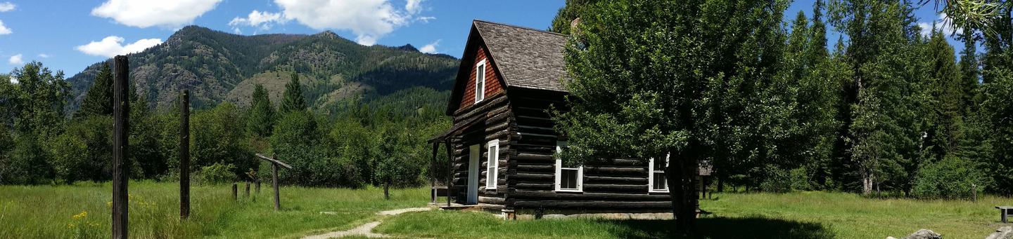
Overview
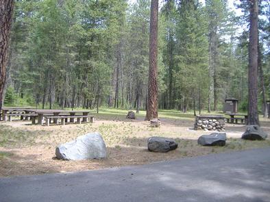
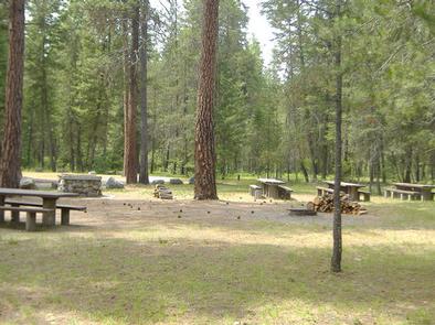
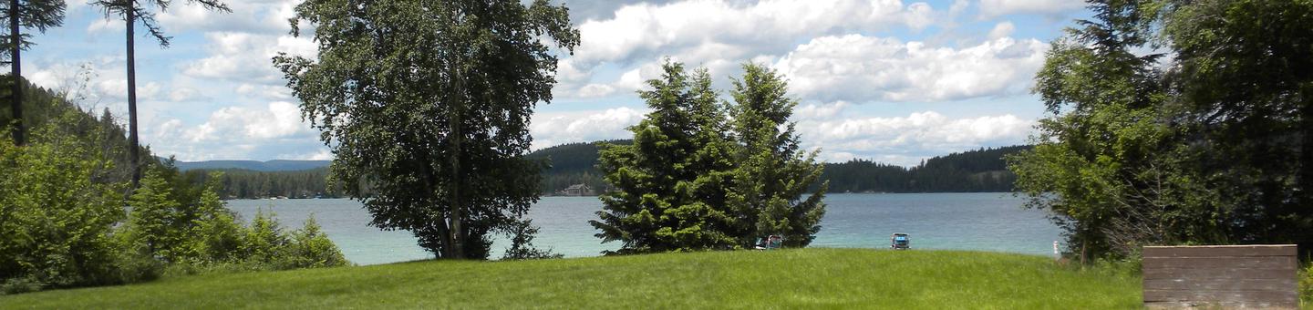
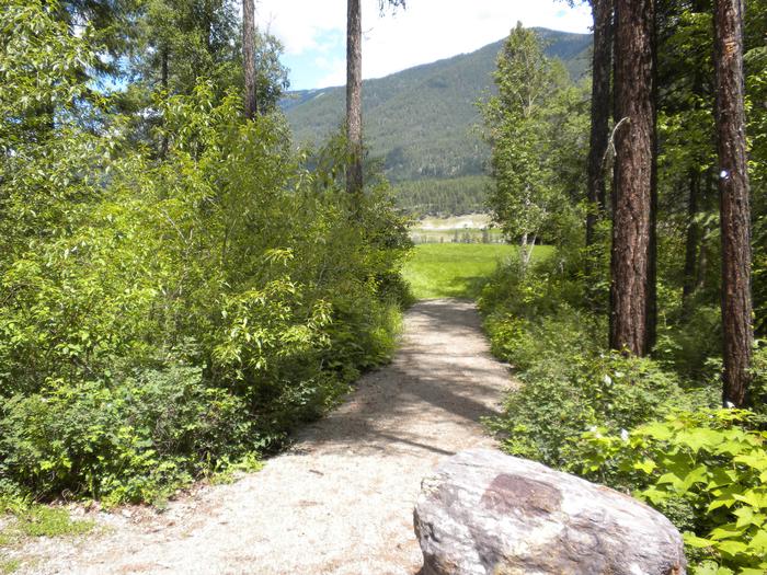
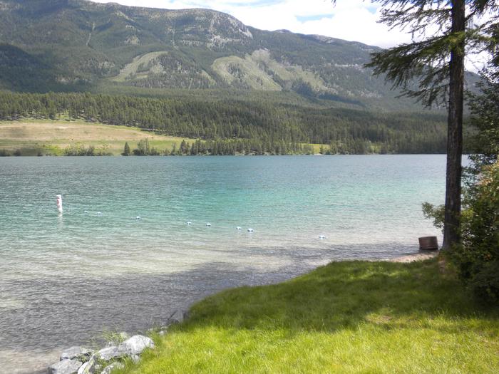
South Dickey Lake is a popular group picnic area on the shores of beautiful Dickey Lake. It provides access to a grassy swimming beach. There are 5 day use sites, but only one site can be reserved. All other sites are first come-first serve.
Recreation
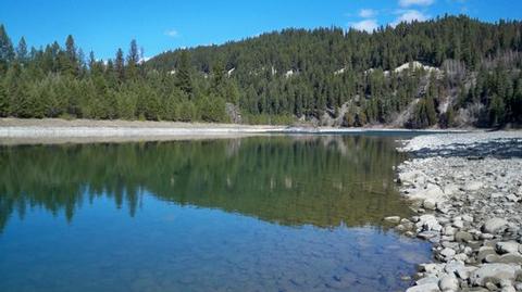
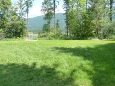
The lake provides ample opportunity for boating, fishing, swimming and water skiing. Anglers can expect a catch of kokanee salmon, kamloop and rainbow trout. A grassy lawn gently slopes down to the lake.
Facilities
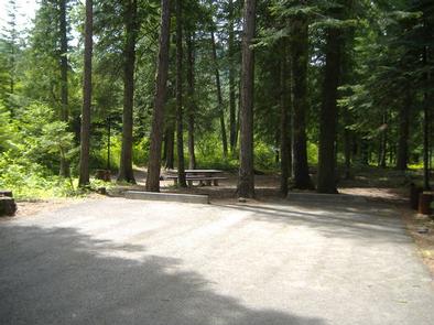
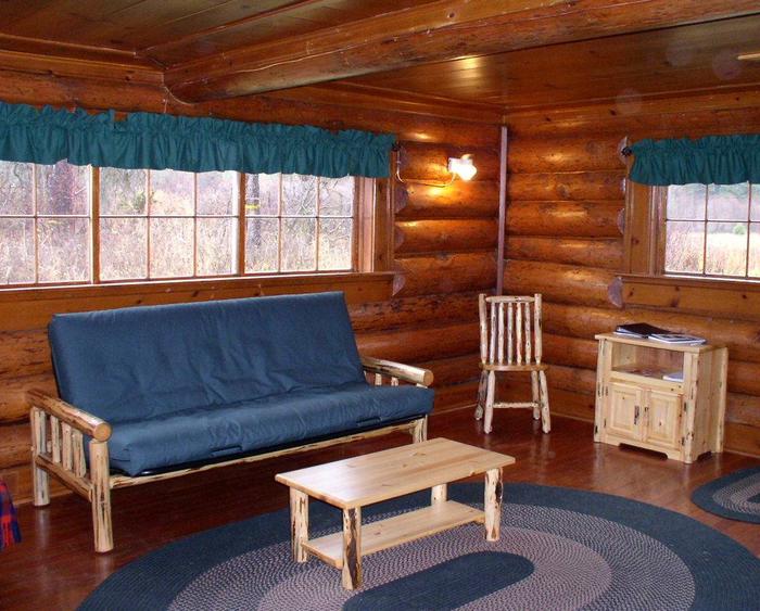
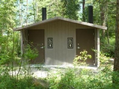
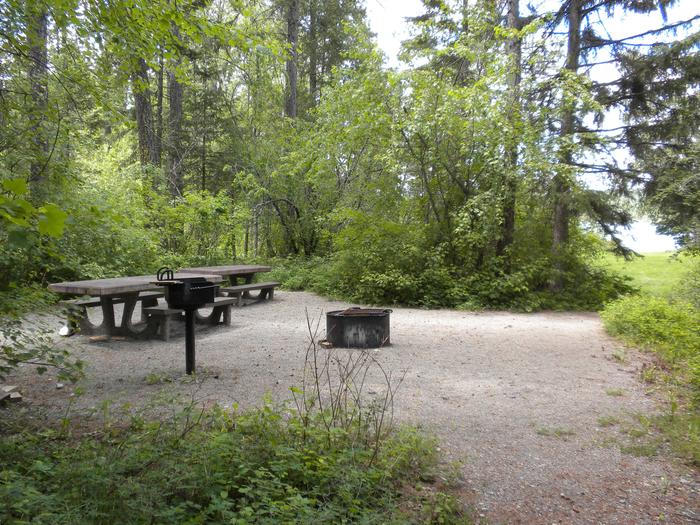
The reservable group picnic area can accommodate up to 50 people and is equipped with two tables and campfire rings with grills. Accessible vault toilets and potable drinking water are also provided. The swimming beach is available for use, but is open to the public as well. This site is a day use area, open from 10 a.m. to 10 p.m. Overnight camping is not allowed. Visitors who wish to stay overnight can make reservations at North Dickey Lake Campground.
Natural Features
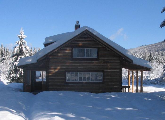
The facility is located in northwestern Montana, next to 800-acre Dickey Lake. Larch and fir trees surround the lake and dot the landscape at the picnic area. It is situated at an elevation of about 3,100 feet. In the spring and early summer, the sound of the loon can often be heard from the beach.
Nearby Attractions
The facility is 20 miles from the United States-Canadian border, and 65 miles from the entrance to Glacier National Park.
Nearby Activities
- Boating
- Camping
- Fishing
- Swimming site
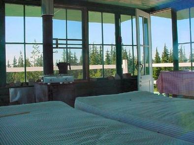
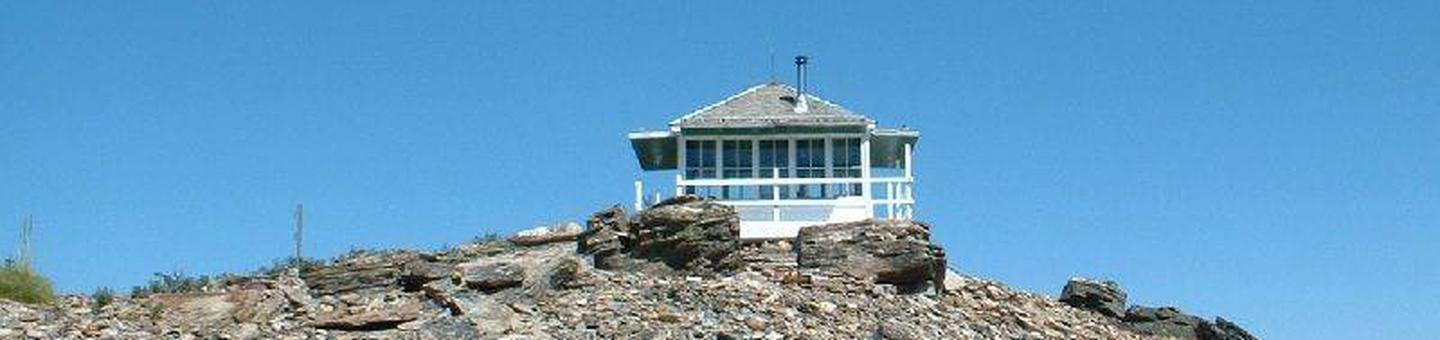
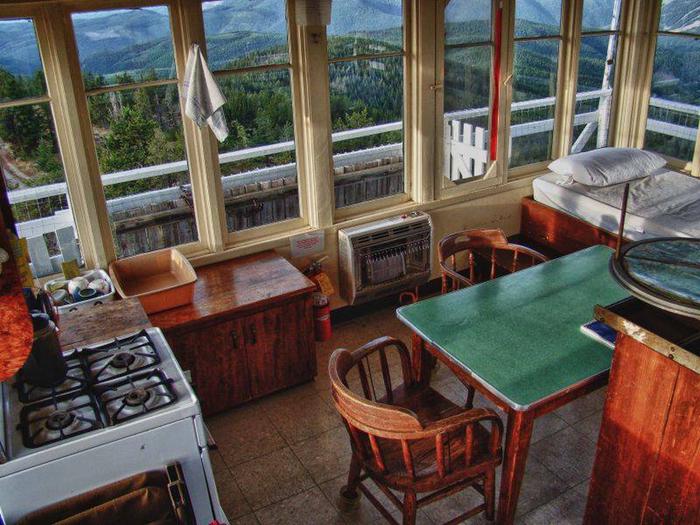
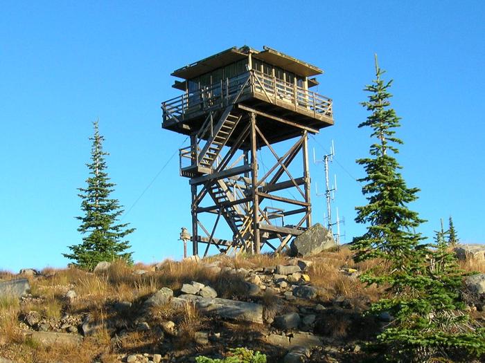
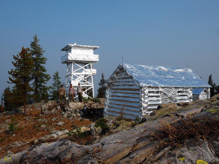
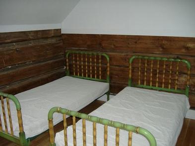
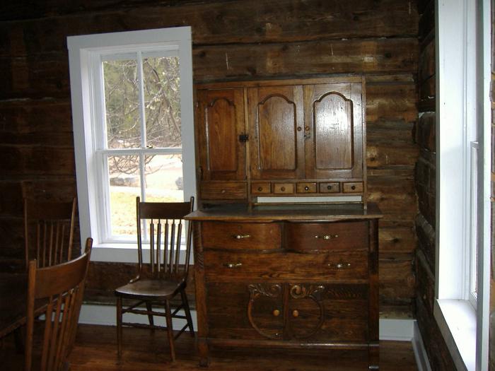
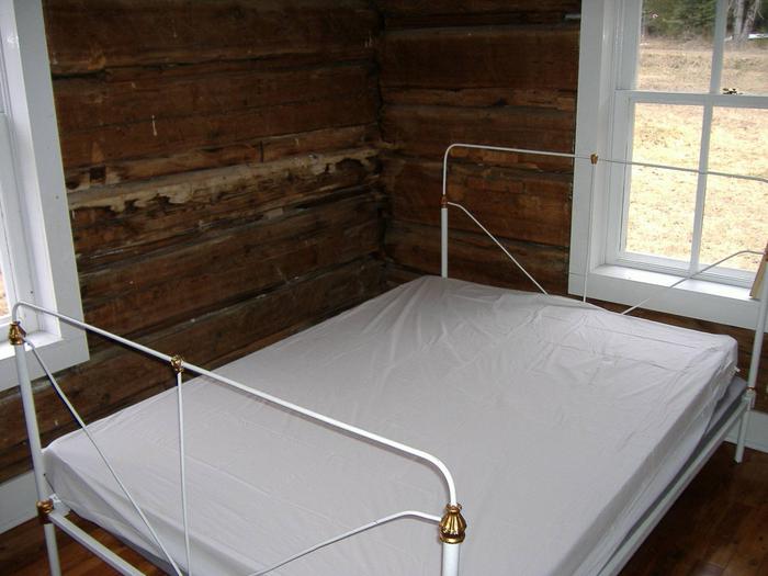
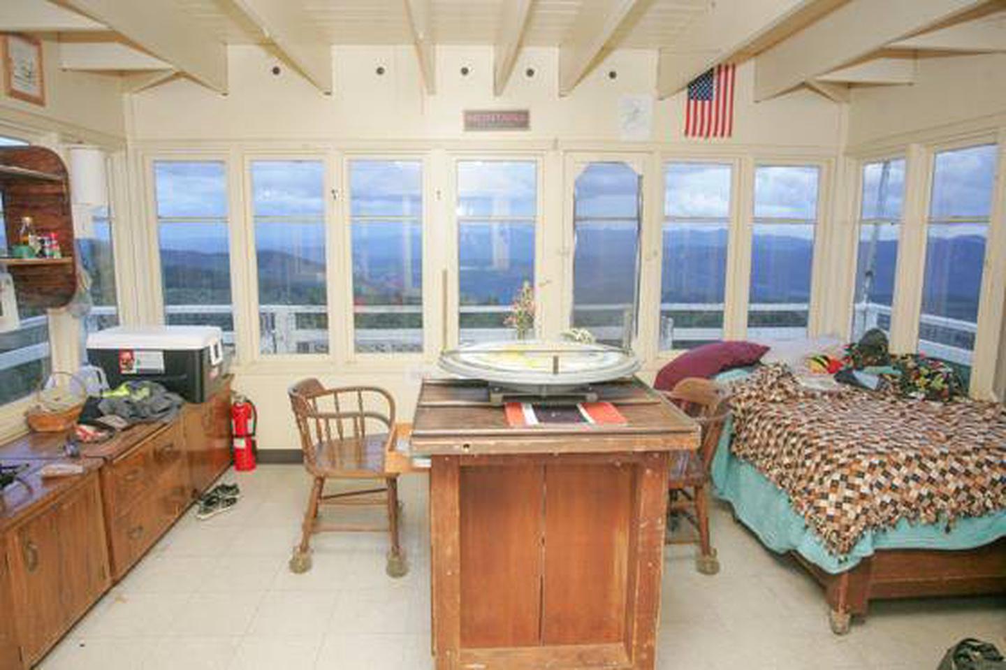
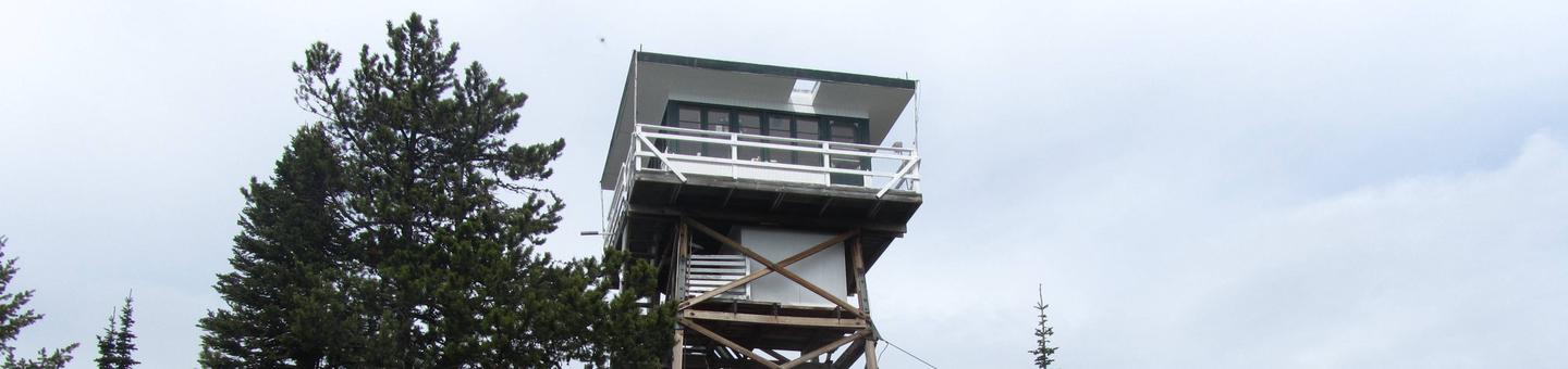
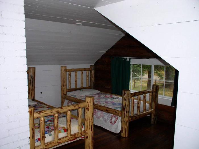
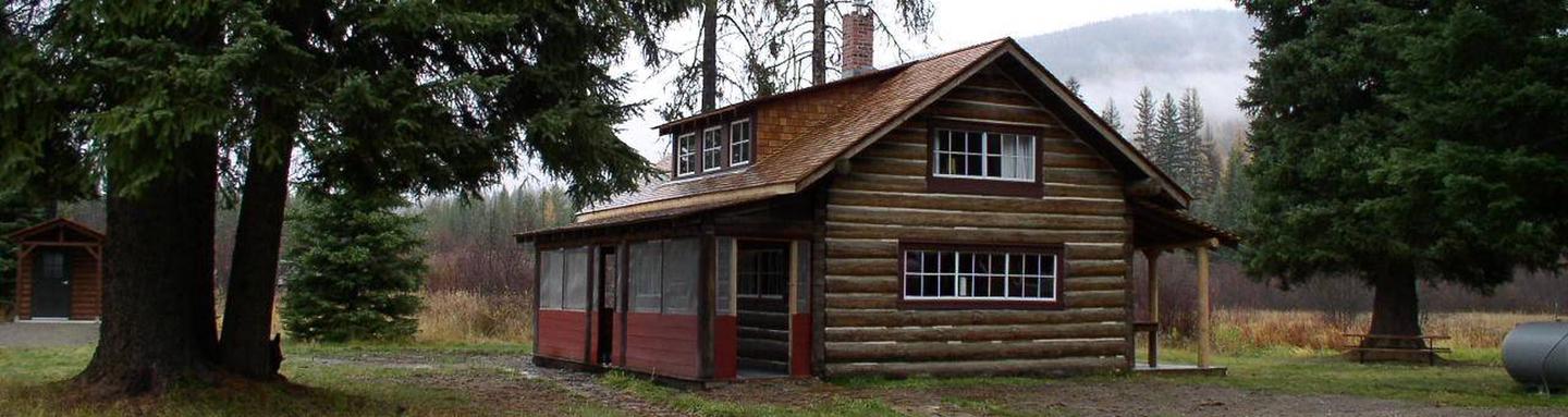
Gallery
Directions
From Eureka travel South on Hwy 93 for approximately 20 miles. Take a left on Lake Shore road 3788 and follow for 2 miles to the day use site.
GPS Coordinates
Latitude 48° 42′ 24.7000″ N
Longitude 114° 48′ 44.5201″ W