Overview
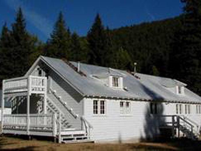
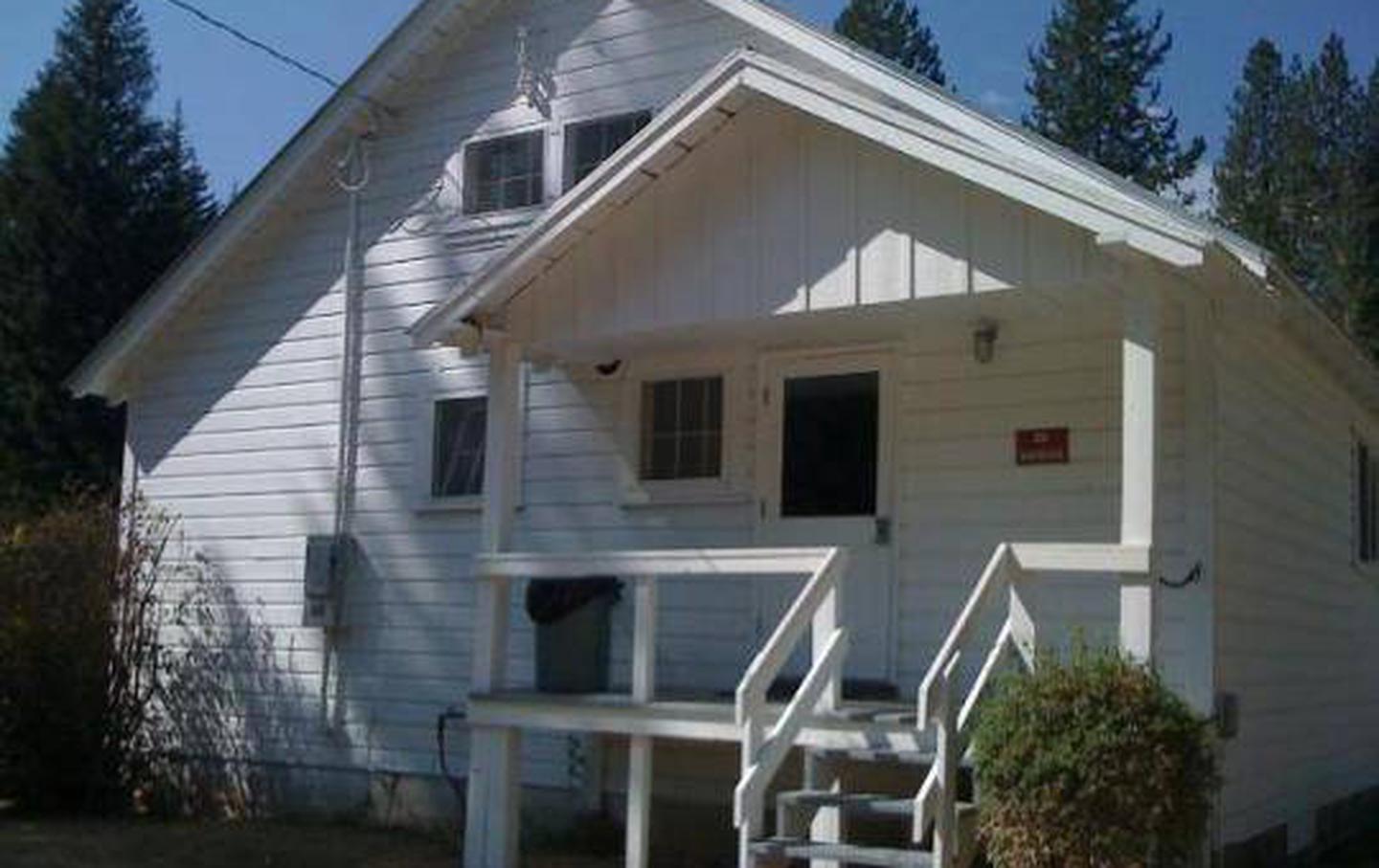
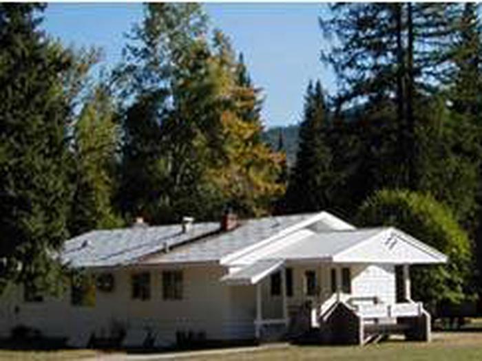
Savenac Cookhouse provides cooking and eating accommodations for large groups staying at the Savenac Historic Tree Nursery in the Lolo National Forest of Montana. The area is filled with history and was once the site of the U.S. Forest Service’s largest and most beautiful nurseries in the West.
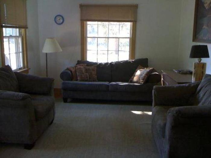
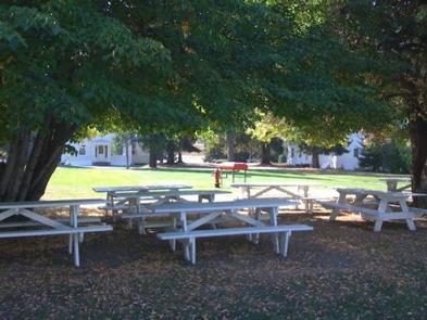
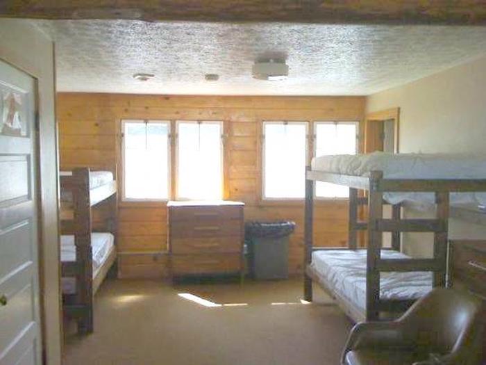
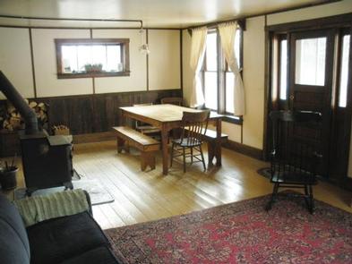
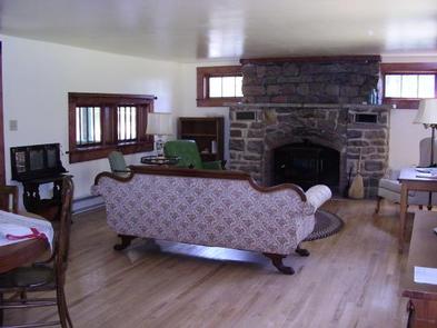
The cookhouse can seat up to 30 people and offers somewhat modern facilities, as well as access to a variety of recreational opportunities. In addition, the cookhouse can sleep up to 9 people downstairs.
Recreation
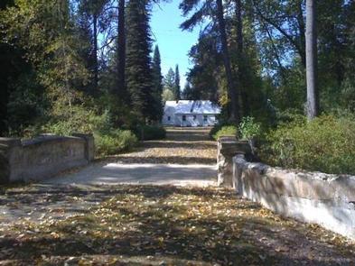
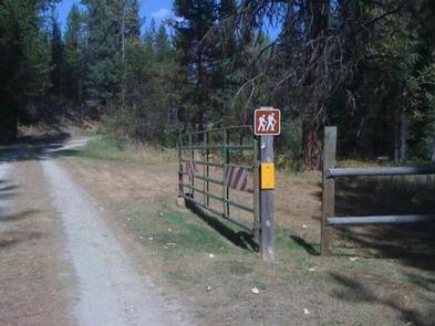
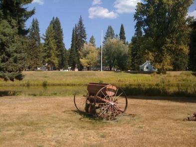
A variety of historic sites and memorials, as well as interpretive trails, exist near the cookhouse. A self-guided tour of the nursery is available at the site to give visitors a historical perspective.
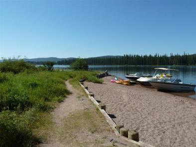
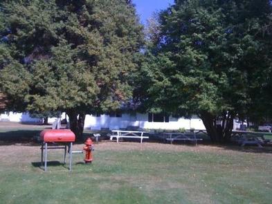
The world-class Route of the Hiawatha Trail is located just 7 miles to the west, offering pristine mountain biking. Numerous mountain streams and the St. Regis River are available for fishing, wading and non-motorized boating within just a few minutes of Savenac. The beautiful Savenac Creek runs through the compound.
In the winter, trails in the nearby area are groomed for snowmobile use and opportunities abound for cross country skiing and snowshoeing. Lookout Pass ski hill is located just 10 miles west on Interstate 90.
Facilities
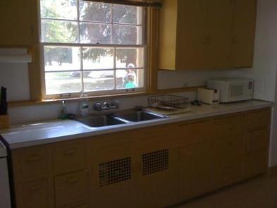
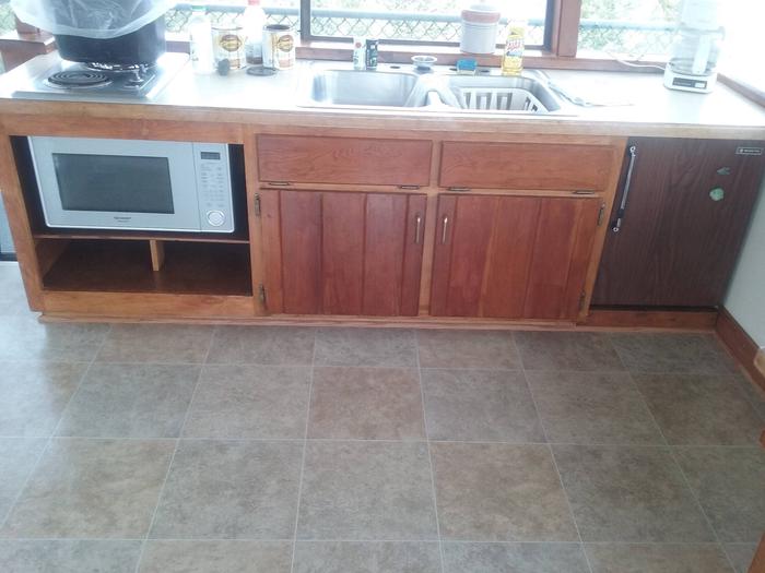
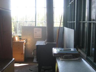
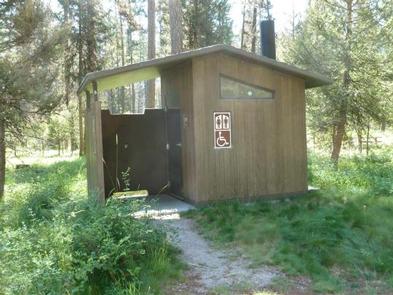
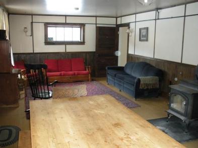
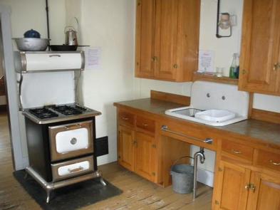
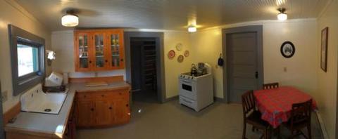
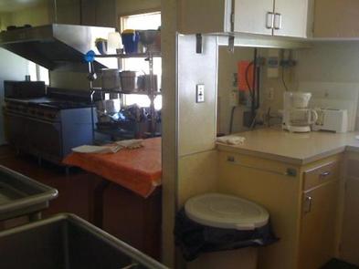
The cookhouse is equipped with a large kitchen including a commercial-grade vintage stove with grills, burners, and double ovens, a commercial diswasher, a walking refrigerator/freezer, two standard refrigerators, coffee pots, a microwave, and assorted cooking utensils, pots, pans, dishes and tableware for 25 to 30 people. The facility also has a dining area with tables and chairs that can seat 25 to 30 people, and a bathroom.
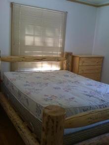
Downstairs, the cookhouse has 9 twin beds with mattresses, mostly in one large room, two bathrooms with showers, and a few dressers.
Guests will need to bring their own food and supplies as well as ice and any additional equipment that is needed. Guest will also need to bring their own bedding, including sleeping bags, blankets and pillows, as well as towels, soap, toilet paper, grabage bags, and other necessities. Guests are required to clean the facility before leaving. Hosts are onsite to perform a checkout inspection before leaving the facility.
The cookhouse is available year-round, except when it is reserved for administrative use or maintenance. It can be accessed by vehicle. Guests in the cookhouse are responsible for their own travel arrangements and safety, and must bring some of their own amenities.
Additional sleeping quarters are available in the bunkhouse, but the bunkhouse must be rented in addition to the cookhouse.
Natural Features
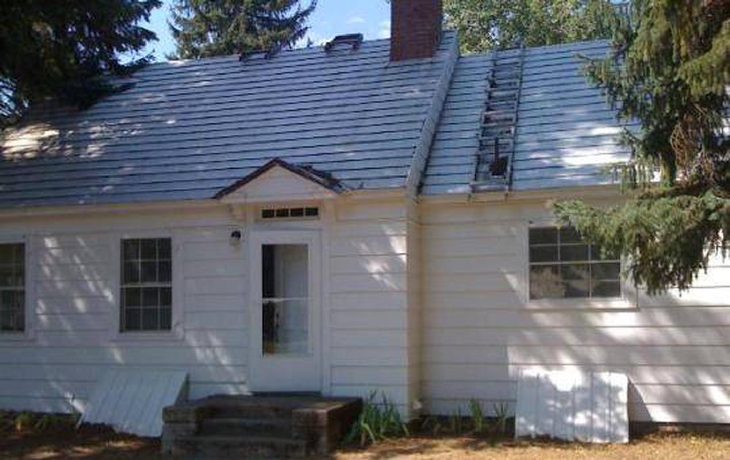
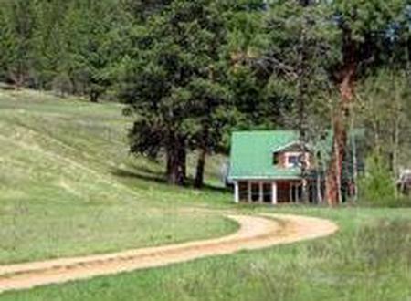
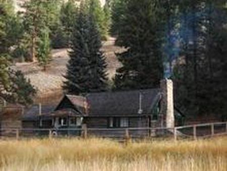
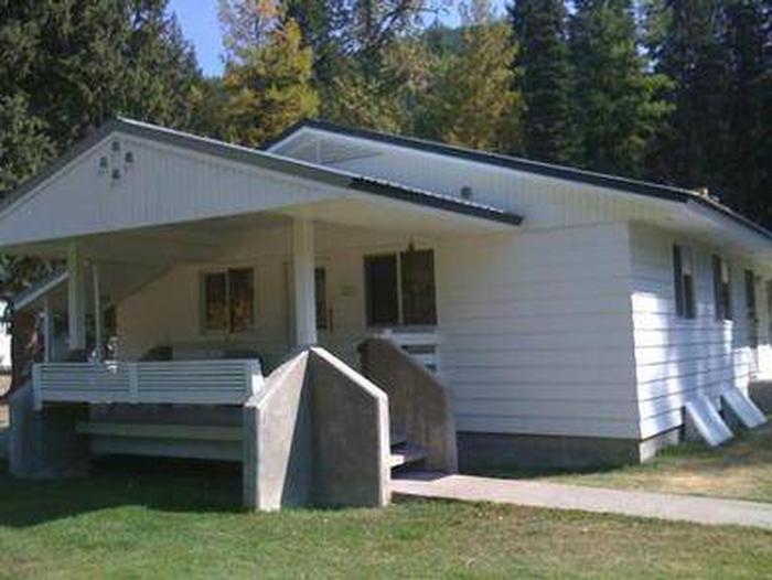
The cookhouse is one of three rental cabins located at the Historic Savenac Nursery, which was founded in 1907 to grow trees for the Forest Service. Nursery operations concluded in 1969 and now the site is open to the public for recreation. The cookhouse was originally a residence and was converted in the 1970s to a space for eating and food preparation.
The facilities are close to the Idaho border, in the Bitterroot Mountains of western Montana. The Lolo National Forest is home to many species of wildlife, including deer, elk, bighorn sheep, mountain goats, mountain lions, moose and black bears.
Nearby Attractions
The nursery is located near Haugan, with easy access to Interstate 90. It is within walking distance of a family restaurant, gas and general store and gift shop. The Savenac compound also consists of a visitor center that is operated from Memorial Day through Labor Day.
Nearby Activities
- Biking
- Historic & cultural site
- Camping
- Fishing
- Hiking
- Hunting
- Winter sports
- Wildlife viewing
Gallery

Directions
From Missoula, travel west on Interstate 90 for 90 miles, to Haugan (Exit 16). Turn right at the stop sign. At the frontage road turn right, then take the first left, crossing the cattleguard. Signs are onsite if needed. Maps are available online or for purchase by calling the Superior Ranger District.
GPS Coordinates
Latitude 47° 23′ 8.0002″ N
Longitude 115° 23′ 44.0002″ W