Overview
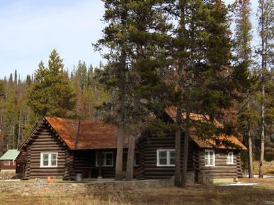
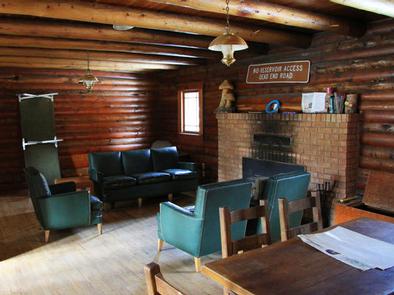
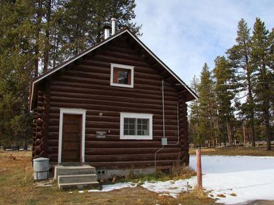
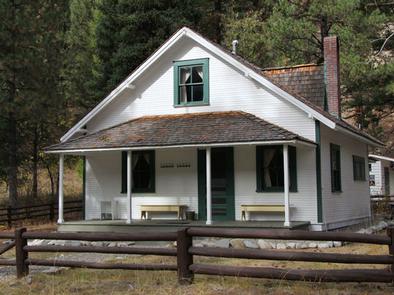
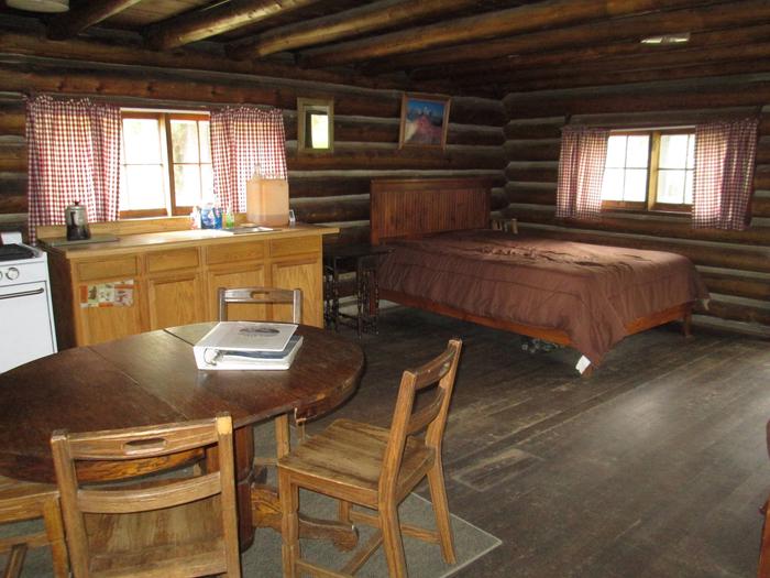
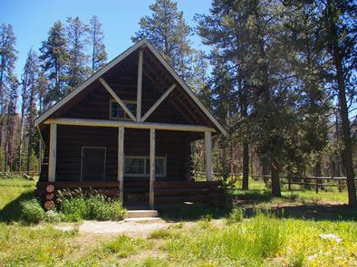
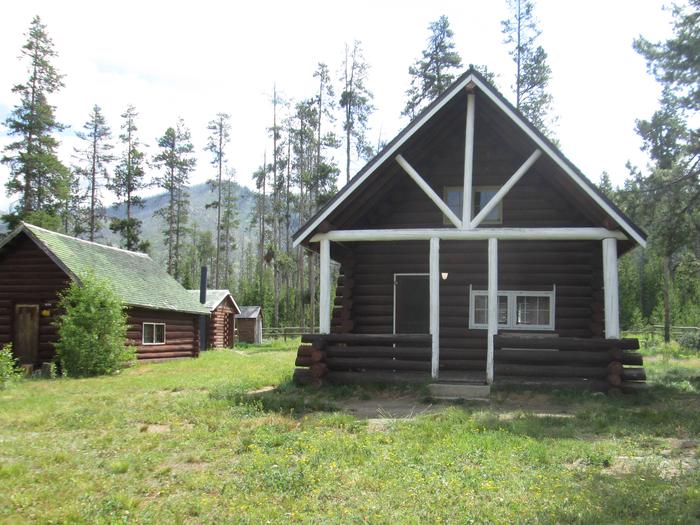
Historic Stolle Meadows Cabin is a single-room dwelling that has been restored to near original condition. it’s located in a beautiful setting near a variety of
recreational activities. The cabin is available year-round.
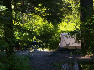
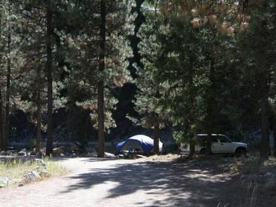
The route to the cabin is drivable in warmer months but is only accessible by a 6.5-mile ski or snowmobile trek in the winter. Many conveniences are provided for a comfortable and pleasant experience, but guests may want to bring some additional gear and supplies.
Recreation
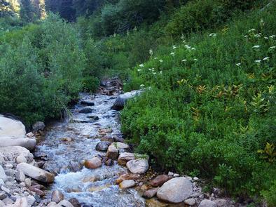
Beautiful Warm Lake is less than 5 miles from the cabin, offering boating, canoeing and fishing for rainbow, cutthroat, lake and bull trout. Billy Rice Swim Beach, on the north shore of the lake, is a great day-use site for picnicking and swimming. Numerous hiking, biking, horse and off-road vehicle trails crisscross the area around the lake. Click here for an Idaho OHV safety message.
A popular activity is to explore nearby Vulcan Hot Springs, about 1.5 miles away. Winter activities include snowshoeing, cross-country skiing and sledding. Hunting season brings out hunters in search of big game.
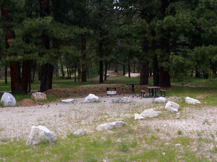
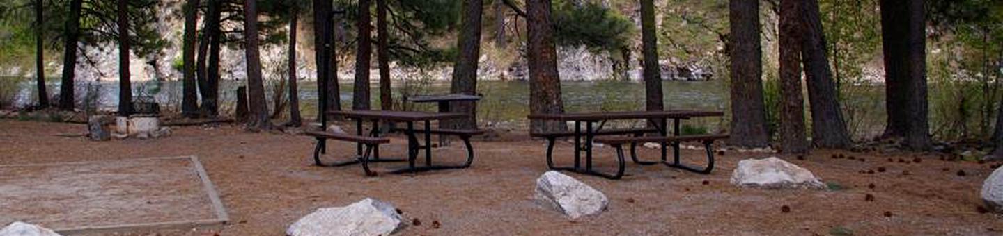
Facilities
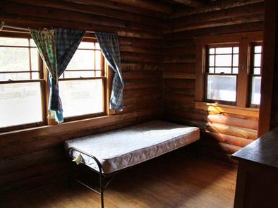
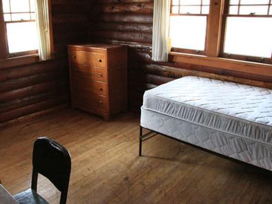
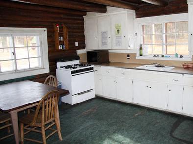
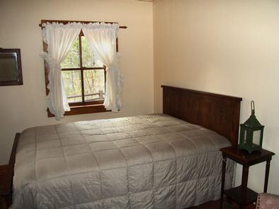
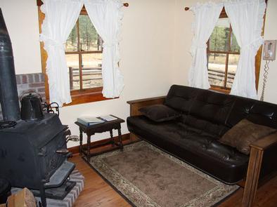
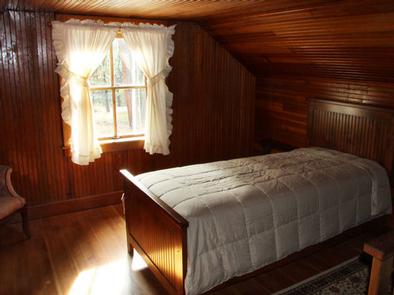
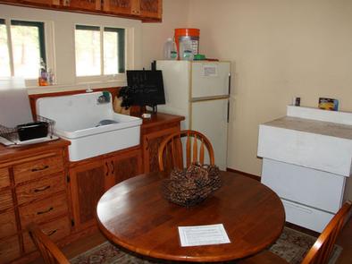
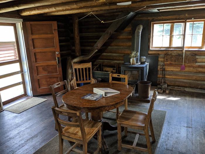
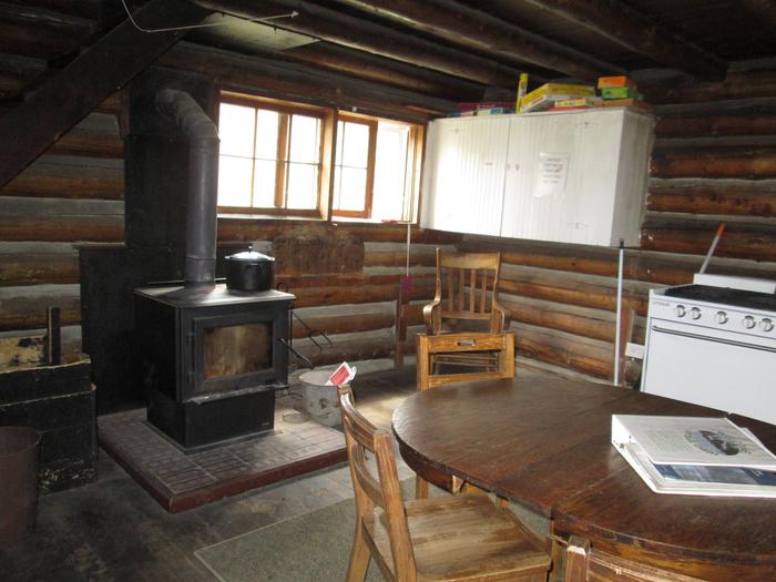
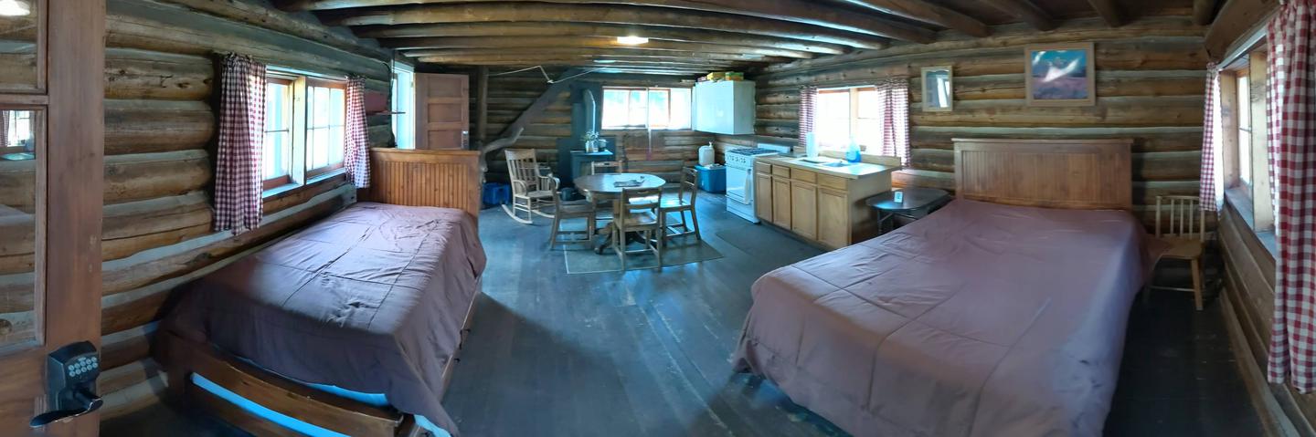
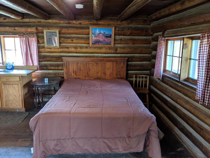
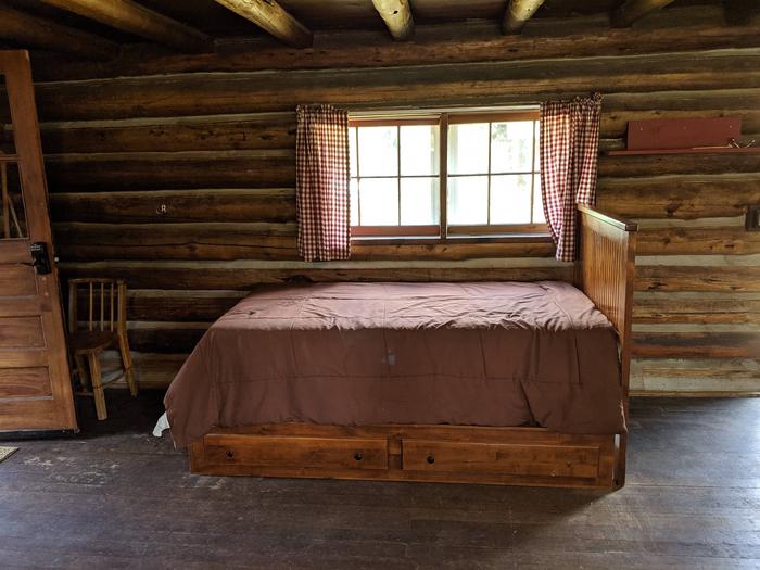
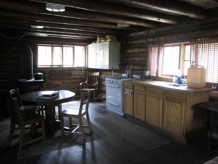
The cabin contains one double bed and one twin trundle bed with mattresses, a table and chairs, dry sink, wood stove and firewood, propane cooking stove with fuel, pots and pans, dishes, tableware, solar lights and a first aid kit. An axe and maul are provided to split firewood.
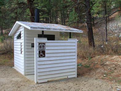
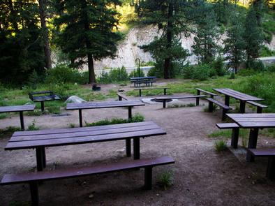
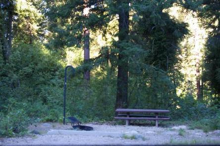
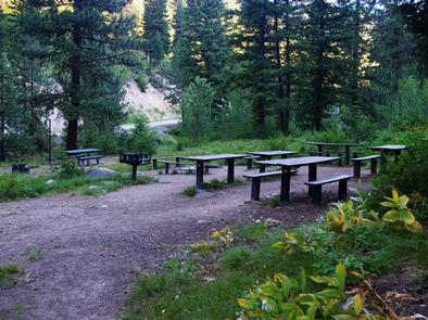
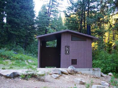
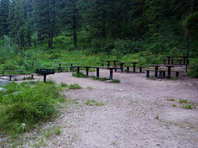
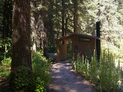
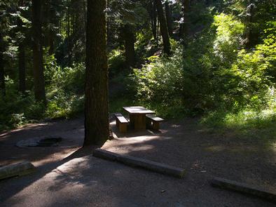
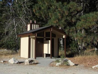
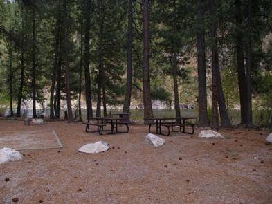
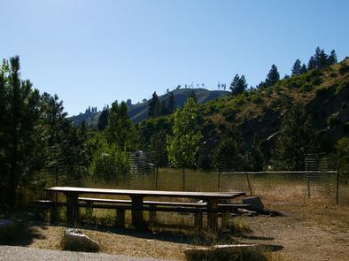
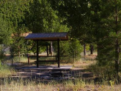
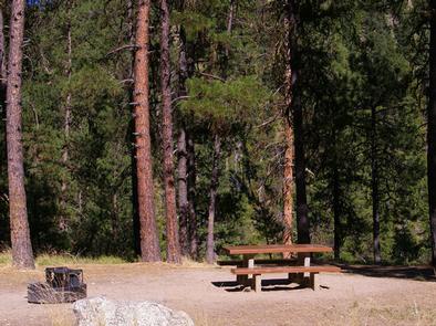
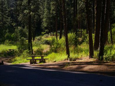
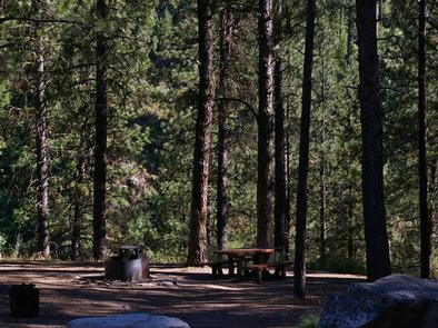
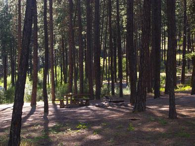
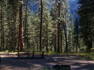
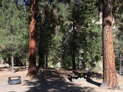
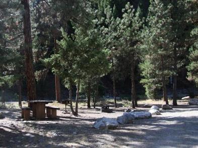
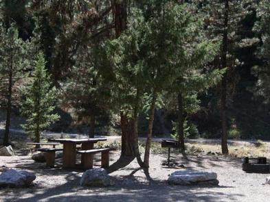
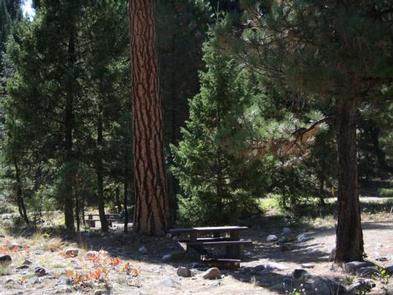
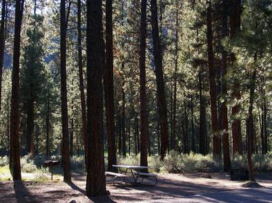
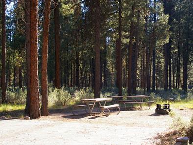
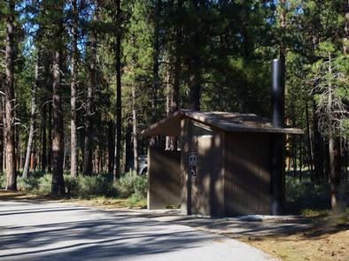
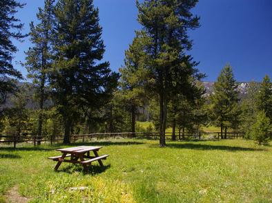
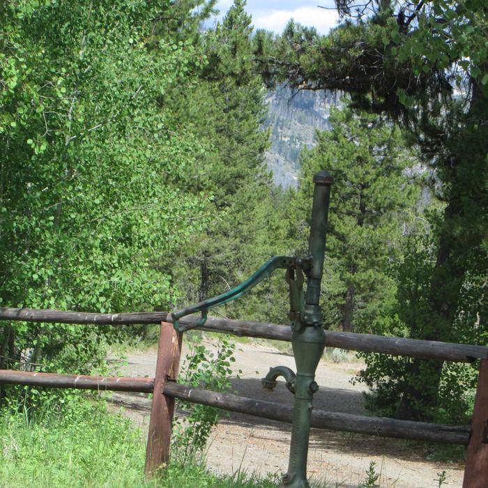
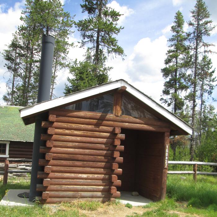
An outhouse with vault toilet and a picnic table are located outside. Drinking water is available year-round from a hand pump outside the cabin.
No electricity is available at the cabin. Guests should consider bringing backup lighting in case the solar powered lights are dim. Garbage bags must be brought in to pack out trash. Bedding and pillows are not provided.
Natural Features
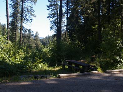
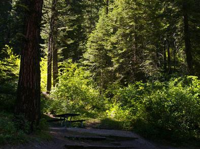
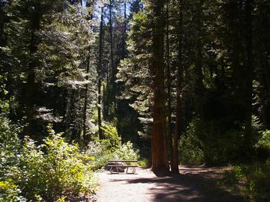
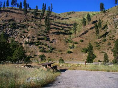
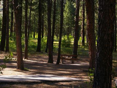
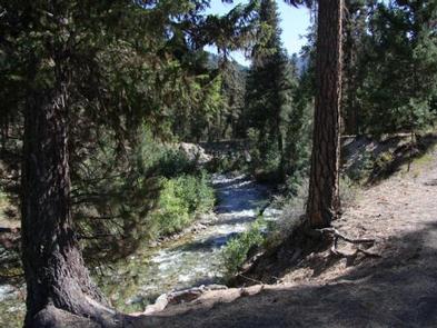
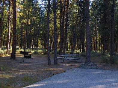
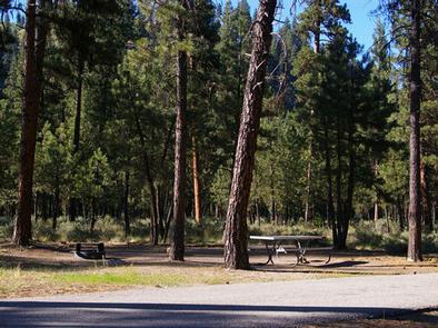
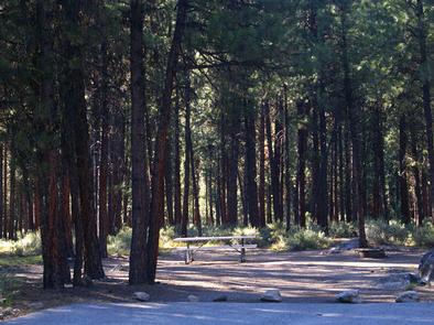
The cabin is nestled in a mixed-growth lodgepole pine forest on a bluff overlooking Stolle Meadows at an elevation of 5,300 feet. Above the forest, mountain peaks rise into the sky.
Many wildlife species make their home here. Elk, deer, moose, bear and a variety of other animals frequent the forest. Snowshoe hares and ermine are active in winter, though they may be hard to spot with their white winter coats.
Nearby Attractions
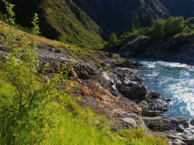
Near Stolle Meadows is a South Fork Salmon River site where visitors can watch Chinook salmon spawn every August. A boardwalk features interpretive signs.
Nearby Activities
- Biking
- Boating
- Camping
- Fishing
- Hiking
- Hunting
- Winter sports
- Swimming site
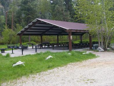
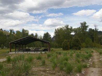
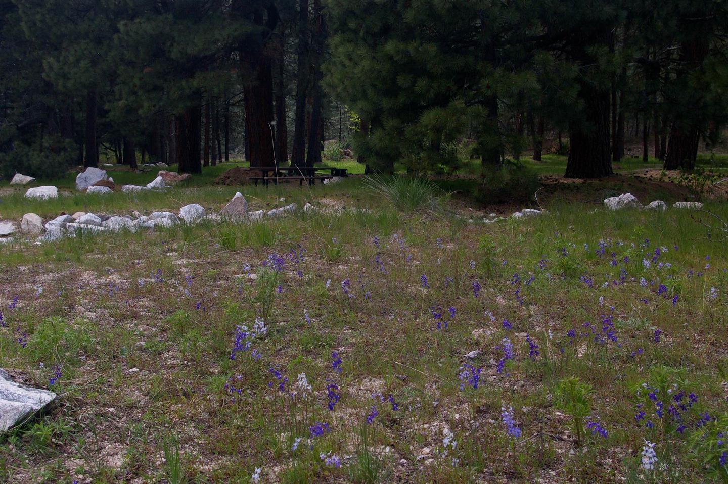
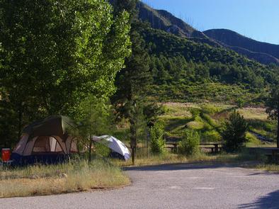
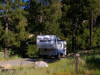
Gallery

Directions
From Boise, Idaho, take Highway 55 north 85 miles to Cascade. Turn east on Warm Lake Highway and go 25 miles to Stolle Meadows Road (427). Turn south and go 5 miles to cabin, which will be on your left up a small hill.
Road construction on forest road 427 (Stolle Meadows Road) is set to begin August 1st, 2019. FR 427 from Warm Lake Highway to the junction of FR 474 will be closed Monday through Friday, 8am – 11:30am, and 1pm – 5pm. From 11:30 – 1pm the road will have one lane open with flaggers directing traffic. The road will be opened on weekends. Road construction will continue until shut down by winter conditions. Please plan your arrival and departue accoringly.
GPS Coordinates
Latitude 44° 35′ 34.0001″ N
Longitude 115° 40′ 21.0000″ W