Categories
Uncategorized

CHICKEN CREEK

Overview

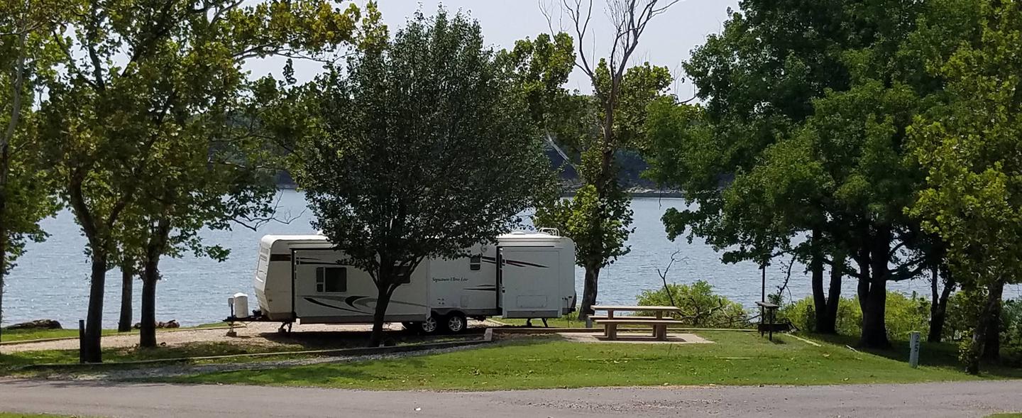
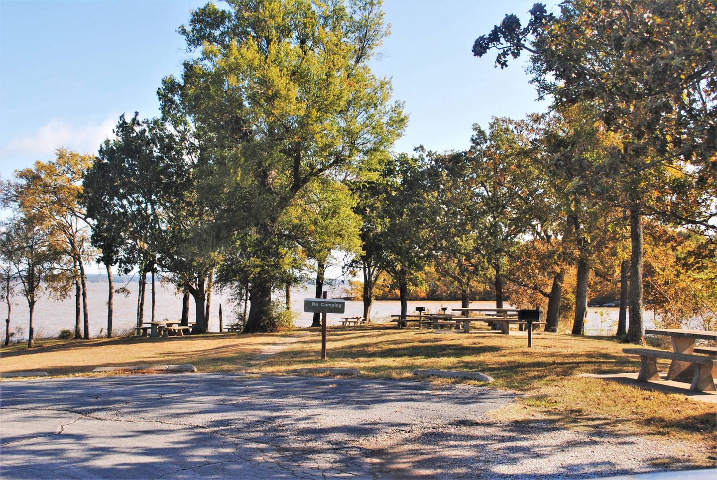
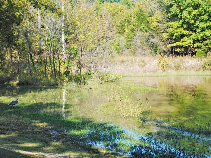
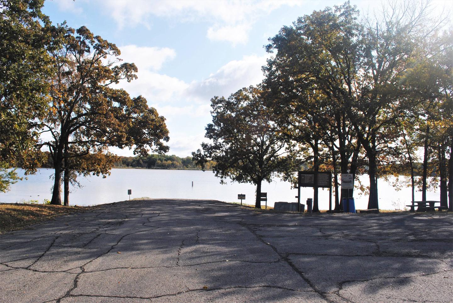
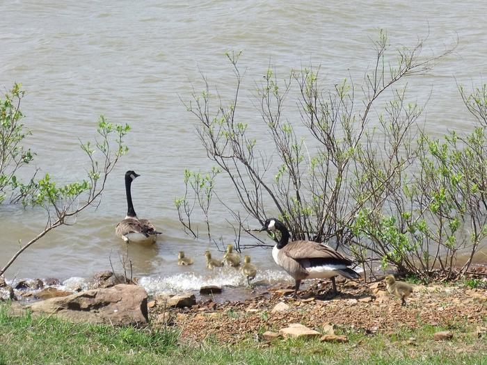
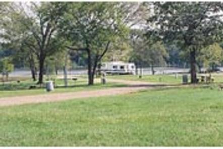
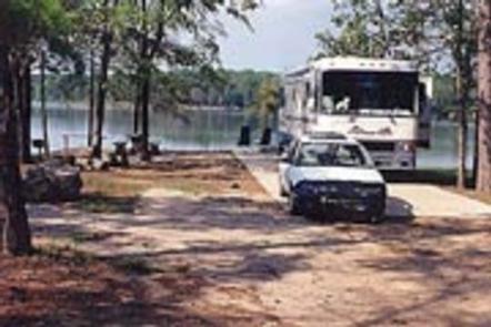
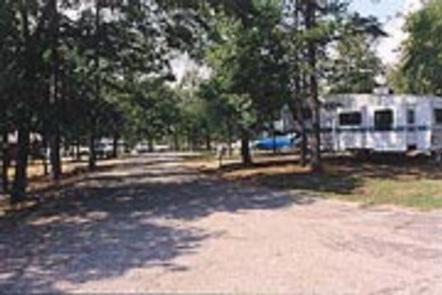
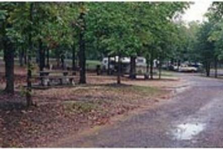
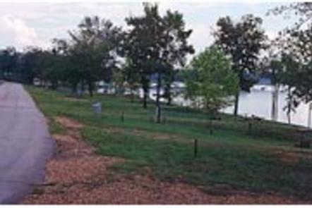
Head to Chicken Creek Campground for tons of fun on Tenkiller Ferry Lake. As one of the most popular campgrounds on the lake, Chicken Creek boasts modern facilities, impressive vistas, convenient access to boating and plenty of opportunities to view wildlife. It’s no wonder why so many campers return each year.

Recreation

Water skiing, boating, fishing, hiking, and swimming are some of the activities enjoyed by visitors. Prevailing winds and secluded coves create an ideal environment for sailing. Scuba divers enjoy the lake’s clear waters and high visibility. Fishing is good for black bass, white bass, striped bass, crappie and catfish. The trout stream below the dam is one of only two year-round trout fisheries in Oklahoma, and is regularly stocked with rainbow trout. Hunting is also permitted in parts of the lake area, in accordance with federal and state laws.

Facilities

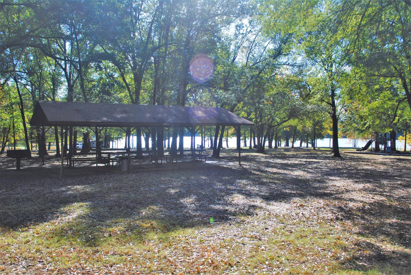
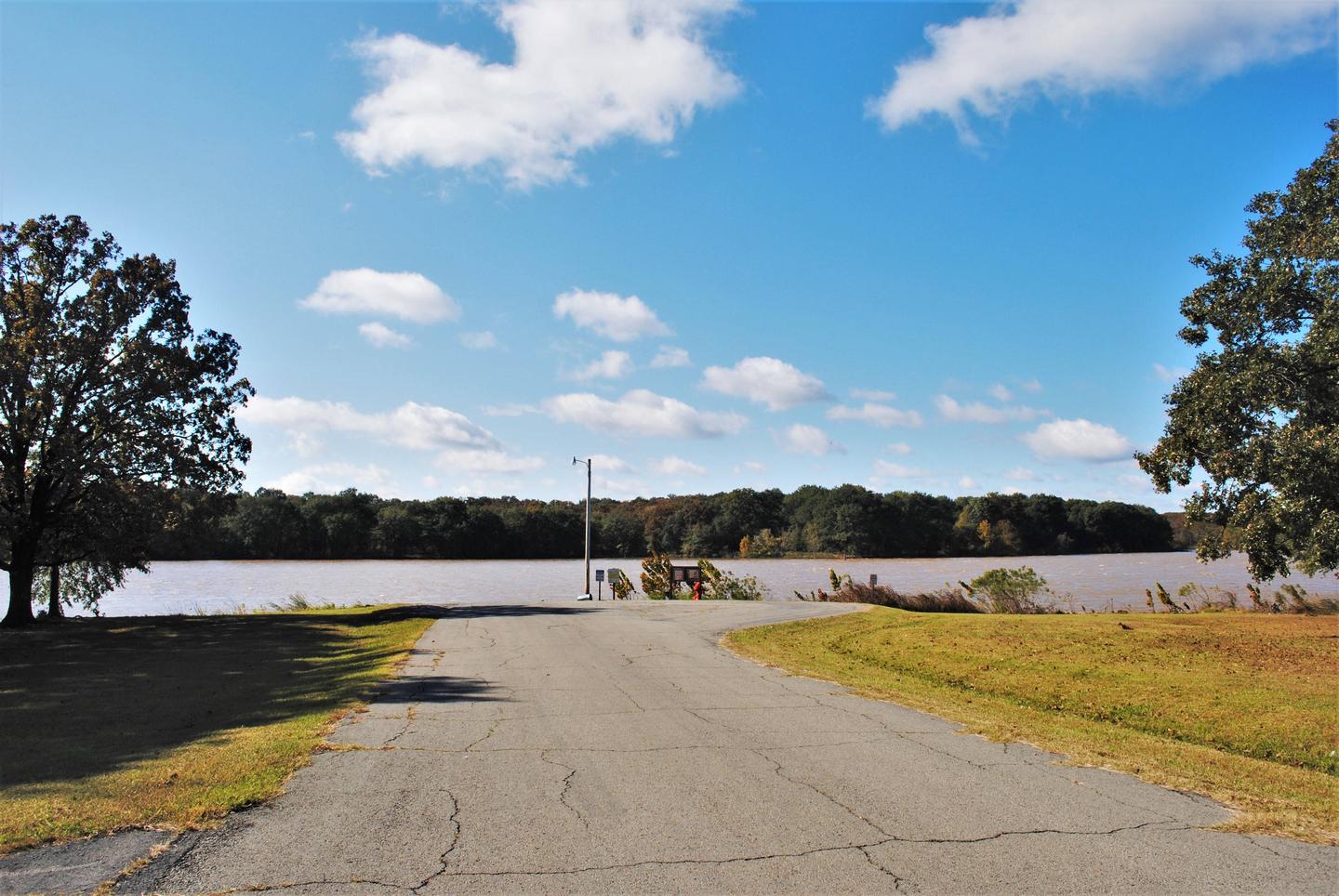
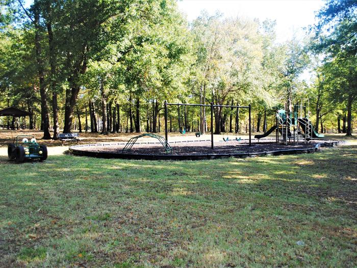
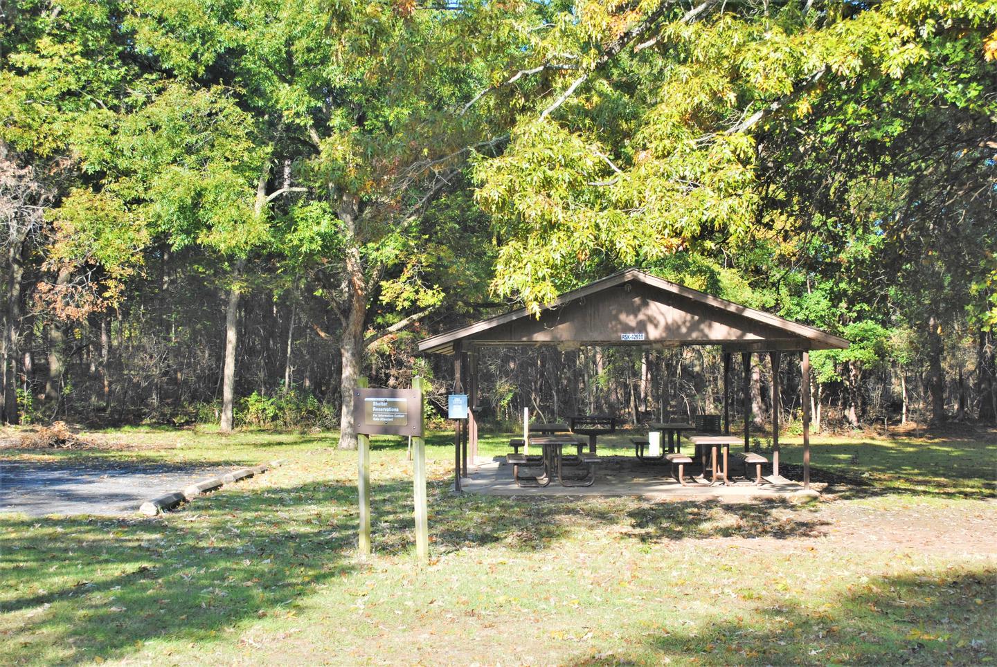
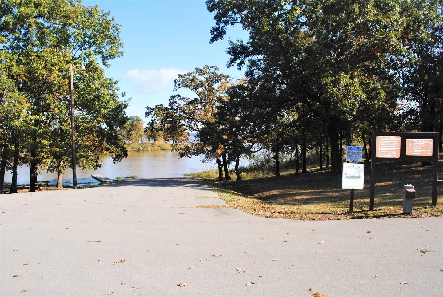
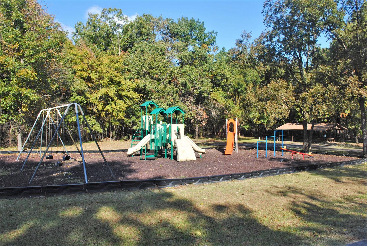
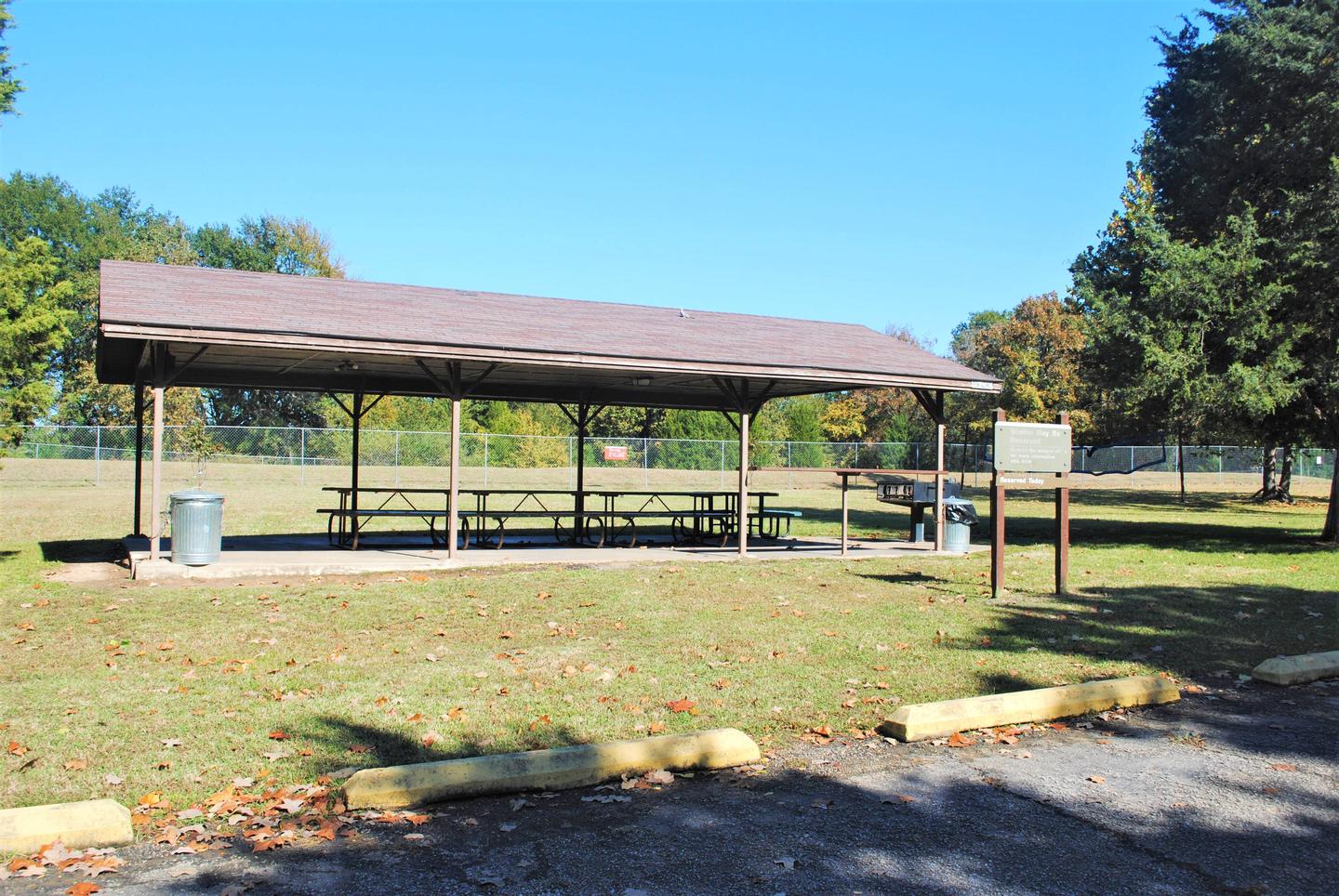
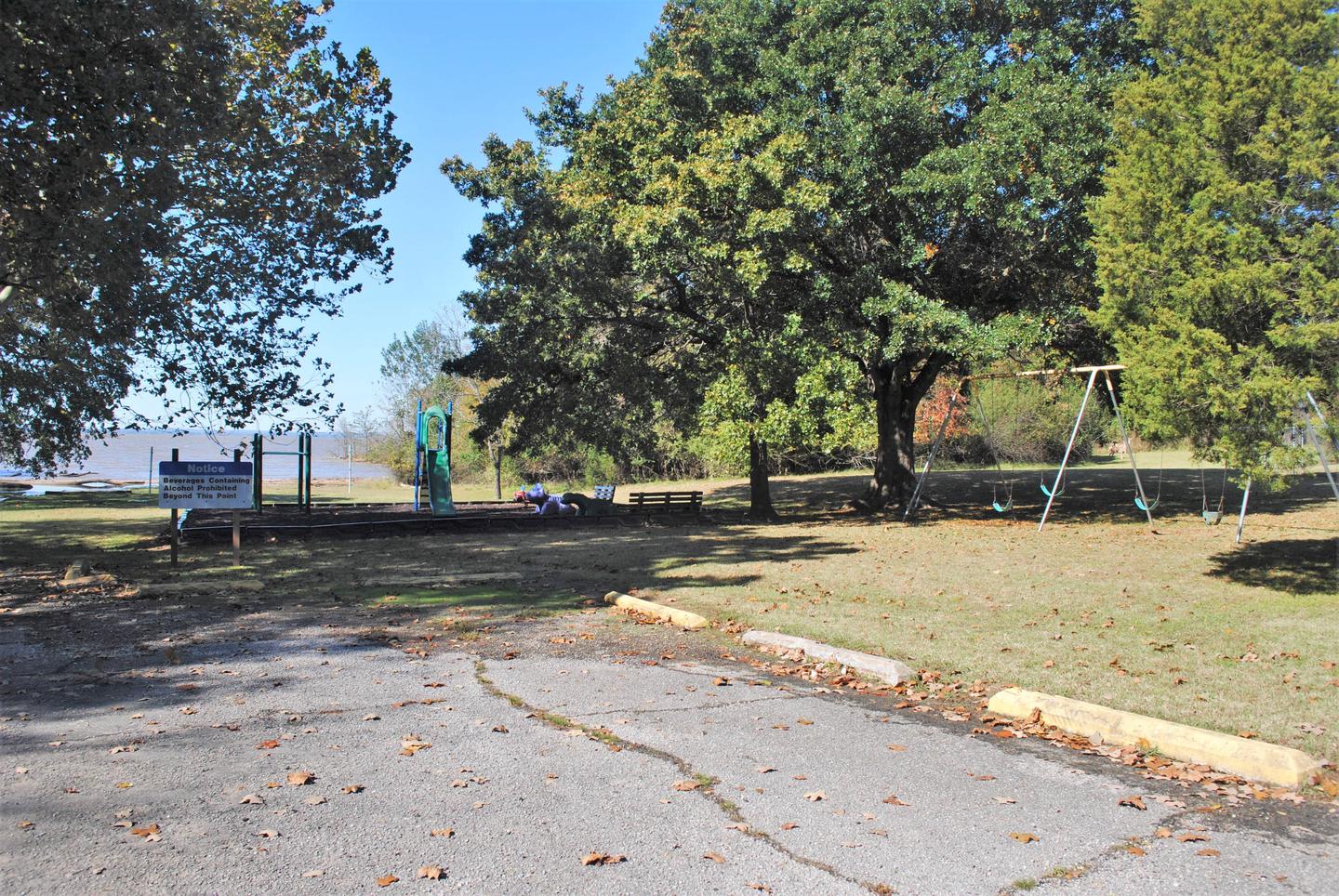
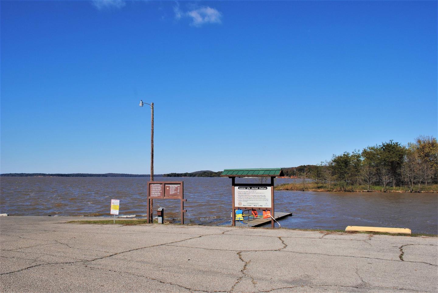
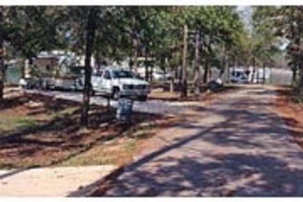
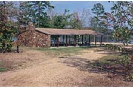
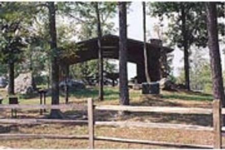
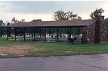
All campsites are equipped with electric hookups, and the group shelters have electricity, too. The park has flush toilets, hot showers, water hydrants, a swim beach, playground, dump station and a boat ramp complex. Of the ten marinas with concessions located on the lake, most offer boat and jet-ski rentals, and several have floating restaurants.

Natural Features

Tenkiller Ferry Lake is often referred to as “Oklahoma’s clear water paradise.” The 12,500 acre lake is sourced by the Illinois River and the Baron Fork, which are both designated as Oklahoma Scenic Rivers. It is nestled in the foothills of the Ozark Mountains in the northeastern part of the state. This area, known as Green Country, is surrounded by dense oak-hickory forests, tall bluffs, and rolling hills. The lake has 130 miles of shoreline with plenty of wildlife such as deer and turkey. It serves as one of the flyways of migratory birds, including bald eagles, common loons, and white pelicans.

Nearby Attractions

Visit the Tenkiller State Park for its nature center and scuba diving park, the Sequoyah National Wildlife Refuge near Vian, or the historic city of Tahlequah – the capital of the Cherokee Nation. The scenic upper Illinois River near Tahlequah is great for canoeing and rafting, and the lower Illinois near Gore offers prime trout fishing.

Nearby Activities

  • Camping
  • Swimming site

Gallery

Directions

From Gore, Oklahoma, go 17.5 miles northeast on Highway 100, take the turn left and go 1.5 miles northwest on the paved access road. Follow signs into the campground.

GPS Coordinates

Latitude 35° 40′ 54.0001″ N

Longitude 94° 57′ 46.0001″ W

Categories
Uncategorized

Webbers Falls City Park

This recreation area is part of Arkansas River – Robert S. Kerr Pool

Directions

GPS Coordinates

Latitude 35° 30′ 58.8163″ N

Longitude 95° 7′ 41.0597″ W

Categories
Uncategorized

Applegate Cove Marina

This recreation area is part of Arkansas River – Robert S. Kerr Pool

Directions

GPS Coordinates

Latitude 35° 21′ 52.7126″ N

Longitude 94° 49′ 27.3684″ W

Categories
Uncategorized

Short Mountain Cove

Overview

Short Mountain Cove sits along the shady banks of Robert S. Kerr Reservoir. 

Recreation

With over 250 miles of shoreline and 43,000 surface acres, R.S. Kerr has long been recognized for its outstanding fishing. Crappie, sand bass, catfish, and black bass in the lake reach record size. Boating and kayaking are popular activities in the area. A boat ramp is provided at the campground for easy access to the water. A variety of hiking trails wind throughout the hills and along the shoreline, offering additional activities for campers.

Facilities

Short Mountain Cove contains 42 campsites, 2 playgrounds, a basketball goal, boat ramp and courtesy dock. 

Natural Features

Robert S. Kerr Reservoir is located within the Cookson Hills, on the Arkansas River in Sequoyah, Le Flore, Haskell, and Muskogee counties in eastern Oklahoma, US. It is about eight miles south of the nearest major town, Sallisaw, Oklahoma. The reservoir is impounded by Robert S. Kerr Lock and Dam at river mile 336.2 (km 541.1) on the Arkansas River, just a few miles below its confluence with the Canadian River. The lock and dam are part of the McClellan-Kerr Arkansas River Navigation System, which provides for barge navigation on the Arkansas River and some of its tributaries.

contact_info

This location has limited staffing. Please call (918) 799-5843 for general information.

Gallery

Directions

GPS Coordinates

Latitude 0° 0′ 0.0000″ S

Longitude 0° 0′ 0.0000″ W

Categories
Uncategorized

Cowlington Point

Overview

Cowlington Point sits along the shady banks of Robert S. Kerr Reservoir.

Recreation

With over 250 miles of shoreline and 43,000 surface acres, R.S. Kerr has long been recognized for its outstanding fishing. Crappie, sand bass, catfish, and black bass in the lake reach record size. Boating and kayaking are popular activities in the area. A boat ramp is provided at the campground for easy access to the water. A variety of hiking trails wind throughout the hills and along the shoreline, offering additional activities for campers.

Facilities

Cowlington Point contains 38 campsites, two boat ramps along with courtesy docks, a playground, volleyball court and group picnic site. 

Natural Features

Robert S. Kerr Reservoir is located within the Cookson Hills, on the Arkansas River in Sequoyah, Le Flore, Haskell, and Muskogee counties in eastern Oklahoma, US. It is about eight miles south of the nearest major town, Sallisaw, Oklahoma. The reservoir is impounded by Robert S. Kerr Lock and Dam at river mile 336.2 (km 541.1) on the Arkansas River, just a few miles below its confluence with the Canadian River. The lock and dam are part of the McClellan-Kerr Arkansas River Navigation System, which provides for barge navigation on the Arkansas River and some of its tributaries.

Gallery

Directions

GPS Coordinates

Latitude 0° 0′ 0.0000″ S

Longitude 0° 0′ 0.0000″ W

Categories
Uncategorized

Applegate Cove

Overview

Applegate Cove sits along the shady banks of Robert S. Kerr Reservoir.

Recreation

With over 250 miles of shoreline and 43,000 surface acres, R.S. Kerr has long been recognized for its outstanding fishing. Crappie, sand bass, catfish, and black bass in the lake reach record size. Boating and kayaking are popular activities in the area. A boat ramp is provided at the campground for easy access to the water. A variety of hiking trails wind throughout the hills and along the shoreline, offering additional activities for campers.

Facilities

Applegate Cove contains 27 campsites, two playgrounds, a boat ramp and courtesy dock.

Natural Features

Robert S. Kerr Reservoir is located within the Cookson Hills, on the Arkansas River in Sequoyah, Le Flore, Haskell, and Muskogee counties in eastern Oklahoma, US. It is about eight miles south of the nearest major town, Sallisaw, Oklahoma. The reservoir is impounded by Robert S. Kerr Lock and Dam at river mile 336.2 (km 541.1) on the Arkansas River, just a few miles below its confluence with the Canadian River. The lock and dam are part of the McClellan-Kerr Arkansas River Navigation System, which provides for barge navigation on the Arkansas River and some of its tributaries.

contact_info

This location has limited staffing. Please call (918) 799-5843 for general information.

Gallery

Directions

Head south on US-59 out of Sallisaw, OK for 7 miles, turn right at Pier 7 General Store onto E1140 Rd for 2.4 miles, where road forks, keep left towards Applegate Cove Marina and you will dead end at your destination of Applegate Cove Campground

GPS Coordinates

Latitude 0° 0′ 0.0000″ S

Longitude 0° 0′ 0.0000″ W

Categories
Uncategorized

TURKEY CREEK

Overview

Turkey Creek Park is a small campground on the western shores of Pine Creek Lake where the Little River flows into the lake. Campers come for peace and quiet, wildlife viewing, boating and fishing.

Recreation

Visitors enjoy fishing, boating and picnicking. Common fish include crappie, white bass, largemouth bass, channel catfish, flathead catfish and various types of sunfish.

Facilities

Turkey Creek offers 30 reservable campsites, eight of which have electric hookups. The picnic shelter is for day-use only. Amenities include a playground, boat ramp and flush toilets.

Natural Features

Pine Creek Lake lies in the southeast corner of Oklahoma at the edge of the Ouachita Mountains. The lake spans 3,750 acres with 74 miles of shoreline. The lake is surrounded by hardwood/pine forests.

Nearby Attractions

Beavers Bend and Raymond Gary State Parks are within driving distance. Also, the historic ruins of Fort Towson, a confederate command post that was built in 1824, are interesting as well.

Nearby Activities

  • Boating
  • Camping
  • Fishing

Gallery

Directions

From Broken Bow, OK, travel Highway 3 west for 28 miles to the entrance sign. Follow access road north 5 miles to the campground.

GPS Coordinates

Latitude 34° 12′ 54.1001″ N

Longitude 95° 7′ 30.7999″ W

Categories
Uncategorized

PINE CREEK COVE

Overview

Pine Creek Cove is located on the western shore of Pine Creek Lake near the main dam. Visitors enjoy boating, fishing, swimming and birding.

Recreation

The beach attracts swimmers, sunbathers and sandcastle builders. Boating and picnicking are also popular. The park’s location near the dam is convenient for reaching prime fishing spots.

Facilities

Pine Creek Cove’s 41 campsites have electric and water hookups. A group camping shelter with electric hookups is also available. Additional amenities include flush toilets, showers, a dump station and boat ramp.

Natural Features

Pine Creek Lake, fed by the Little River, boasts 3,750 acres with 74 miles of shoreline. The lake is in southeastern Oklahoma at the edge of the Ouachita Mountains.

Nearby Attractions

Beavers Bend and Raymond Gary State Parks are within driving distance. Also, the historic ruins of Fort Towson, a confederate command post that was built in 1824, are interesting as well.

Nearby Activities

  • Boating
  • Camping
  • Fishing
  • Picnicking
  • Day use area
  • Swimming site
  • Swimming
  • Water access

Gallery

Directions

From Valliant, OK, travel Pine Creek Road 7 miles north to the access road. Follow signs into the campground.

GPS Coordinates

Latitude 34° 6′ 24.9998″ N

Longitude 95° 5′ 15.0000″ W

Categories
Uncategorized

LOST RAPIDS

Overview

Lost Rapids Campground is located on the eastern shores of Pine Creek Lake. This pleasant campground is popular with campers who enjoy birding, fishing and wildlife photography.

Recreation

Visitors enjoy fishing, boating and picnicking. Common fish include crappie, white bass, largemouth bass, channel catfish, flathead catfish and various types of sunfish.

Facilities

Lost Rapids offers several campsites, half of which have electric hookups. A group campsite that also has 4 electric hookups. Other amenities include flush toilets, drinking water and a boat ramp.

Natural Features

Pine Creek Lake, fed by the Little River, boasts 3,750 acres with 74 miles of shoreline. The lake is in southeastern Oklahoma at the edge of the Ouachita Mountains.

Nearby Attractions

Beavers Bend and Raymond Gary State Parks are within driving distance. Also, the historic ruins of Fort Towson, a confederate command post that was built in 1824, are interesting as well.

Nearby Activities

  • Boating
  • Camping
  • Fishing
  • Picnicking
  • Canoeing

Gallery

Directions

From Broken Bow, OK, take Highway 3 west 22 miles to the park entrance. Turn south at the sign and follow the access road.

GPS Coordinates

Latitude 34° 10′ 35.0000″ N

Longitude 95° 6′ 29.9999″ W

Categories
Uncategorized

LITTLE RIVER PARK

Overview

Little River Park is located on the shores of Pine Creek Lake. It boasts beautiful views of the water along with many recreational opportunities. The swimming beach and hiking trail are popular places within the site, and the lake is great for canoeing and fishing.

Recreation

Popular activities include swimming, fishing, picnicking, hiking and boating. A hiking trail is accessible from the campground.

Facilities

Little River Park offers numerous campsites, many of which have electric and water hookups with a few having sewer hookups. The group camping shelter comes with five electric hookups. Additional amenities include 3 showers, two dump stations, a playground and 2 boat ramps.

Natural Features

Pine Creek Lake lies in the southeast corner of Oklahoma, at the edge of the Ouachita Mountains. The lake spans 3,750 acres with 74 miles of shoreline. Hardwood/Pine forests surround the lake.

Nearby Attractions

Beavers Bend and Raymond Gary State Parks are within driving distance. Also, the historic ruins of Fort Towson, a confederate command post that was built in 1824, are interesting as well.

Nearby Activities

  • Boating
  • Camping
  • Fishing
  • Hiking
  • Picnicking
  • Day use area
  • Swimming site
  • Water access

Gallery

Directions

From Broken Bow, OK, take Highway 3 west 23 miles to the park entrance. Turn south at the sign and follow the access road.

GPS Coordinates

Latitude 34° 10′ 0.0001″ N

Longitude 95° 7′ 30.0000″ W