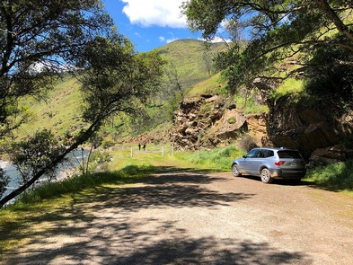
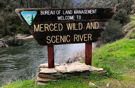
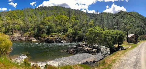
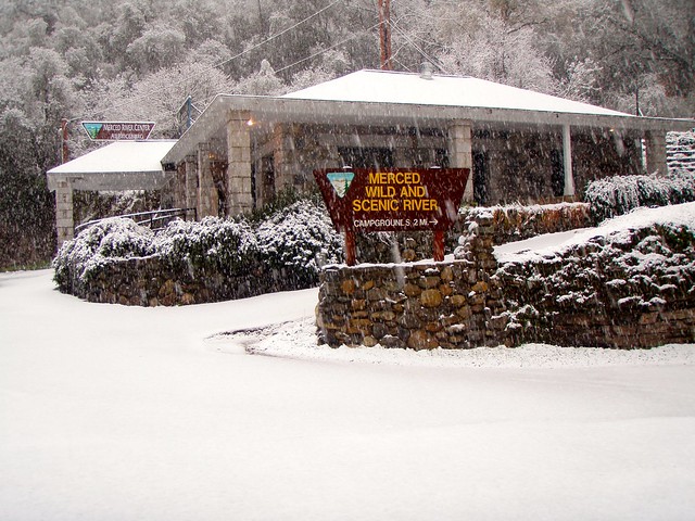
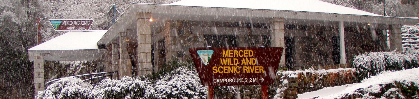
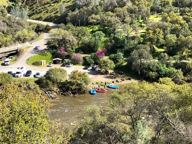
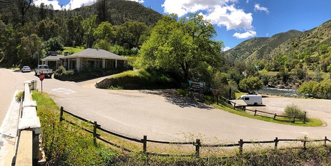
At the entrance to the BLM, Merced River Recreation Management Area (RMA) is the Briceburg Put-In. This Day-Use Area and Boat Launch is located 12 miles east of Mariposa where Highway 140 meets the Wild & Scenic Merced River.
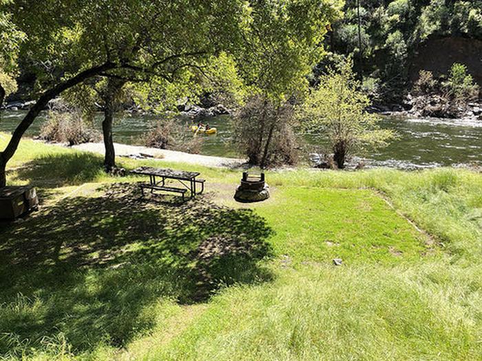
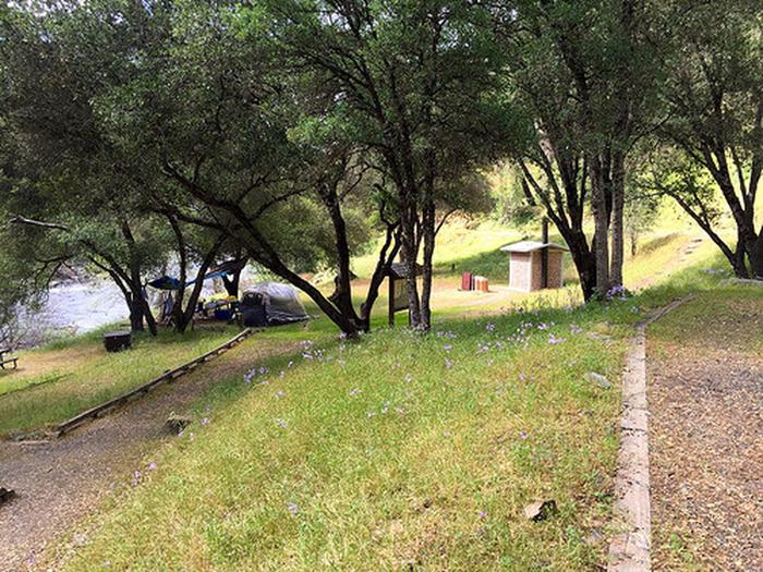
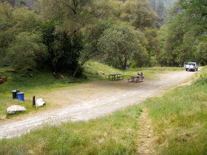
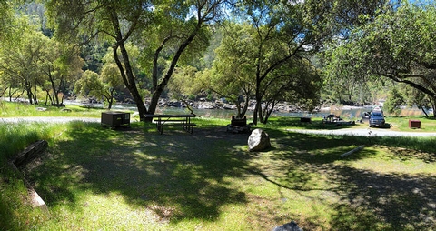
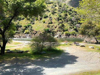
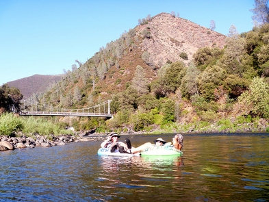
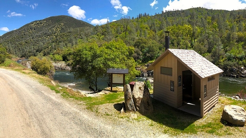
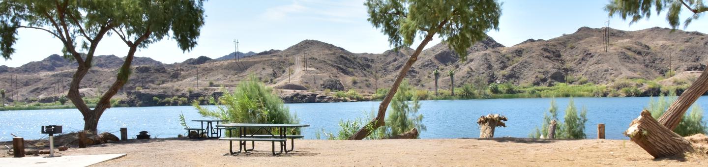
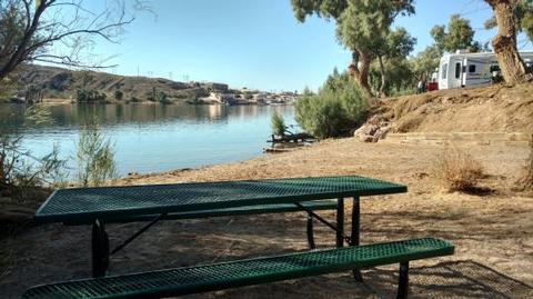
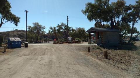
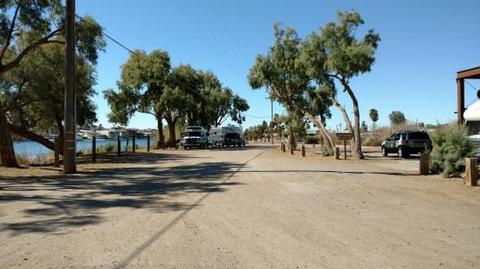
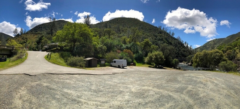
Just below the Briceburg Visitor Center is a parking area, restrooms, picnic area, and boat launch for whitewater river access. This gravel parking area serves as a meeting place for river trips, and a rest stop for Yosemite motorists. There is a great view of the Briceburg Suspension Bridge which was installed in 1926 and provides access to the north side of the Merced River and the BLM campgrounds downstream.
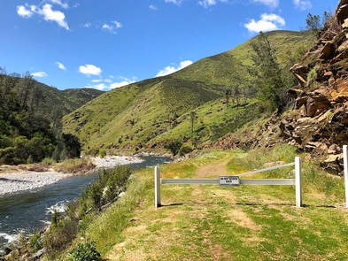
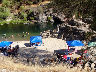
Popular activities here are gold panning/prospecting, fishing, picnicking, rafting take-out or put-in. It is a good place to meet and carpool downstream to other swimming holes in the BLM, Merced River RMA.
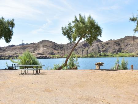
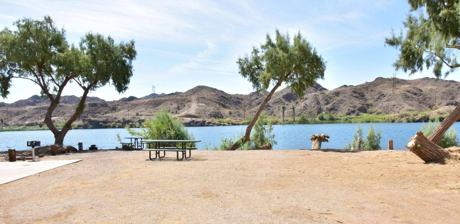
FACILITIES: This site has a picnic table, raised barbeque grill, vault toilet, information kiosk, trash and recycling containers.
WHAT YOU NEED TO KNOW: Camping and campfires are not allowed anytime. Charcoal BBQ’s are allowed in the provided raised metal grill during winter and spring until fire restrictions go into effect. It is best to bring your own propane BBQ or stove for cooking any time of year.
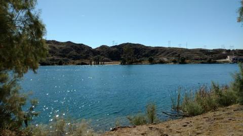
PAY ATTENTION: No lifeguard on duty. Swimming is dangerous any time of year, but especially during spring and early summer. The Merced River is un-damned and the flow changes dramatically from year to year and season to season. Please wear a life jacket.
SWIMMING IS ONLY RECOMMENDED BELOW 700 CFS. River flow is posted on-line at: www.dreamflows.com
Return To: Merced River Recreation Management Area
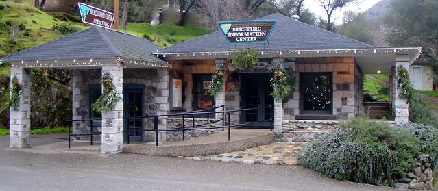
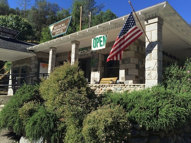
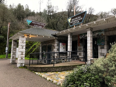
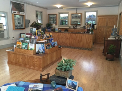
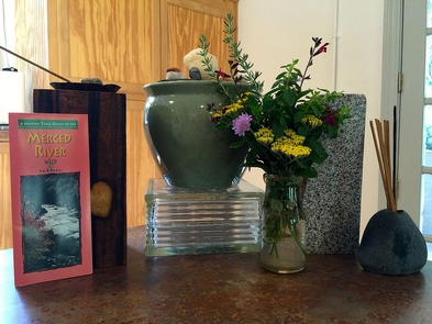
Visit: Briceburg Visitor Center
Return To: BLM, Mother Lode Field Office
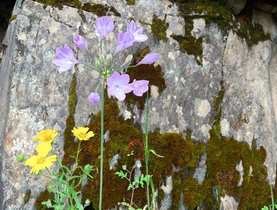
Gallery
Directions
From the city of Merced, located on U.S. Highway 99, travel 40 miles east on State Highway 140 to the town of Mariposa. Then travel another 12 miles along Highway 140 to the Briceburg Visitor Center at the Wild & Scenic Merced River.
GPS Coordinates
Latitude 37° 36′ 17.5860″ N
Longitude 119° 57′ 59.3964″ W